Category Hiking

Hike Pico de la Nieve – Pico de la Cruz: Ridge Route in the National Park

der gut ausgebaute Wanderweg vom Pico de la Nieve zum Pico de la Cruz auf La Palma

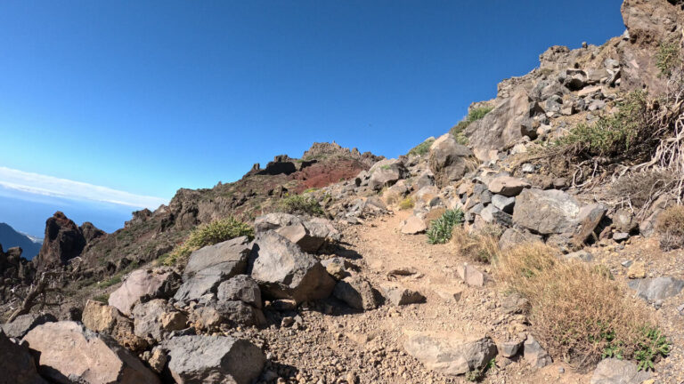
The crest trail section from Pico de la Nieve (2,239 m) to Pico de la Cruz (2,351 m) is a classic section of the GR-131 and one of the most impressive high mountain trails in La Palma. At about 6 km and about 200 m ascent you hike on the caldera ridge — on the left the view into the national park, on the right the view of the Aridane valley and the Cumbre Vieja.


Read MoreHike Pico de la Nieve – Pico de la Cruz: Ridge Route in the National Park

PR-LP 12: Hiking Trail from Roque de los Muchachos to Tijarafe

The PR-LP 12 connects the highest point of La Palma with the West Coast municipality of Tijarafe:12.8 km, approx. 133 m ascent, 1,921 m descent, difficult, approx. 4.30–5.00 hours. The path leads from the area of the Roque de los Muchachos (about 2,400 m) over the ridge path southwards, through clear pine forests and the characteristic vineyard terraces of the northwest, to the village of Tijarafe (about 660 m).

Read MorePR-LP 12: Hiking Trail from Roque de los Muchachos to Tijarafe

Hike from Roque de los Muchachos to Espigón del Roque

Espigón del Roque — Aussichtsplattform über der Caldera de Taburiente.

The shortest walk from the highest point of La Palma leads from the car park at Roque de los Muchachos to Espigón del Roque - a rocky outcrop with brick viewing platforms: 1.2 km, 90 m, easy, 0:45-1:00 hours. Anyone reaching the summit area of Roque de los Muchachos with 45 minutes to spare can easily complete this short walk. It shows the Caldera de Taburiente from a different angle than the well-known summit car park.

Read MoreHike from Roque de los Muchachos to Espigón del Roque

Camino de Gordian: From Ermita de la Virgen del Pino to La Cumbrecita

Ermita de la Virgen del Pino am Ausgangspunkt der Wanderung Camino de Gordian auf La Palma

The Camino de Gordian is the hiking alternative to La Cumbrecita that doesn't require a permit: 7 km, 568 m ascent, 177 m descent, moderate, 2:30–3:15 hours. The route follows the PR LP 1 through sparse pine forest on the edge of the Riachuelo Valley, past galerías carved into the rock and striking barrancos, to the Cumbrecita with its spectacular caldera panorama.

Read MoreCamino de Gordian: From Ermita de la Virgen del Pino to La Cumbrecita

City Walk Through the Old Town of Santa Cruz de La Palma

Prachtvolle Kolonialbauten, enge Gassen, salzige Meeresluft — die Altstadt Santa Cruz de La Palma

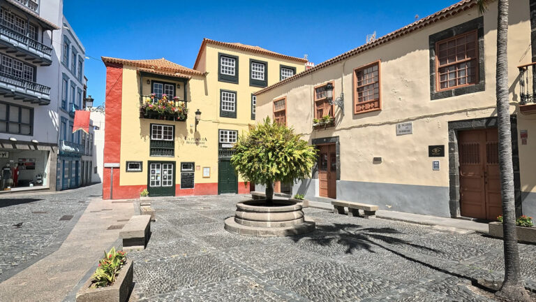
Santa Cruz de La Palma is one of the best-preserved colonial towns in Spain - and one of the few old towns in the Canary Islands that deserves a self-guided walking tour. The history of the island's capital unfolds across a 2-3 km route taking roughly 1.5 to 2.5 hours: Plaza de España, Church of El Salvador, Balcones Típicos, Calle O'Daly, Museo Naval, forts, La Recova market and the island museum.

Read MoreCity Walk Through the Old Town of Santa Cruz de La Palma

PR-LP 3: Hiking Trail from Pico de la Nieve to Santa Cruz de La Palma

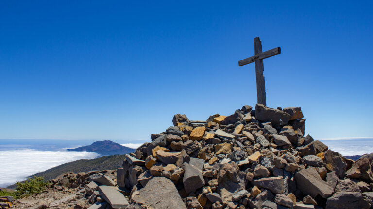
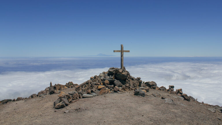
Gipfelkreuz auf dem Pico de la Nieve mit Panoramablick über die Cumbre Vieja

The PR-LP 3 is one of the most extreme descent routes in La Palma: 13.6 km, 196 m ascent, 2,395 m descent, moderate, 4:30–5:30 hours. From the 2,234 m high Pico de la Nieve, the path leads through forest areas almost at sea level to the island's capital Santa Cruz de La Palma - a complete vertical cross-section through La Palma's climatic zones.

Read MorePR-LP 3: Hiking Trail from Pico de la Nieve to Santa Cruz de La Palma

Los Brecitos: Hike up to Cascada de la Fondada and Hoyo Verde

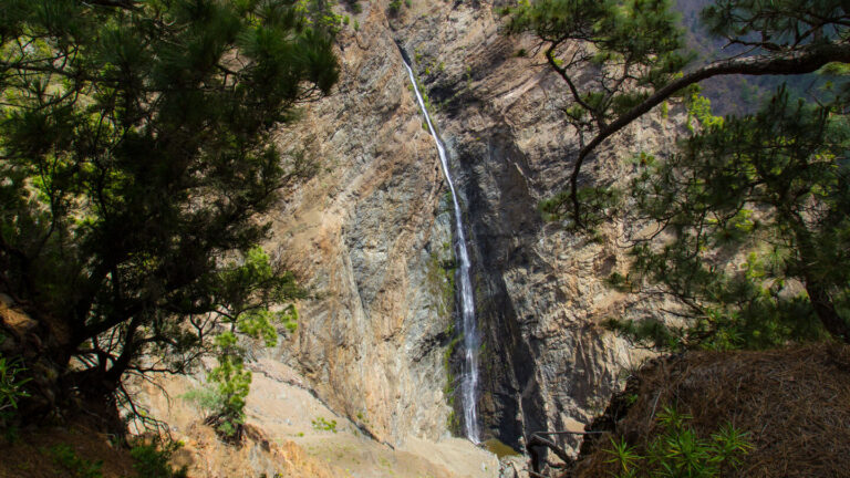
Mit rund 100 Metern einer der höchsten Wasserfälle La Palmas: Die Cascada de la Fondada fällt senkrecht durch die Caldera-Wand.

The hike from the Los Brecitos hiking trail to the Cascada de la Fondada and the springs of Hoyo Verde is the most impressive and demanding detour in the Caldera de Taburiente National Park: approx. 3 km extra (easy), 713 m ascent, difficult, 1:30 - 2:30 h (in addition to the basic hike). Sunhikes expressly recommends this detour only for hikers who are in good shape and who start the tour early.

Read MoreLos Brecitos: Hike up to Cascada de la Fondada and Hoyo Verde

Cascada de los Tilos: A Short Gorge Adventure in Barranco del Agua

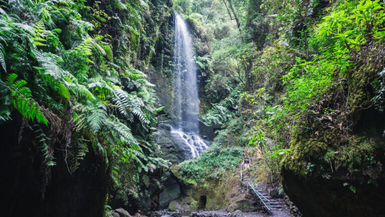
Wasserfall Cascada De Los Tilos im Lorbeerwald

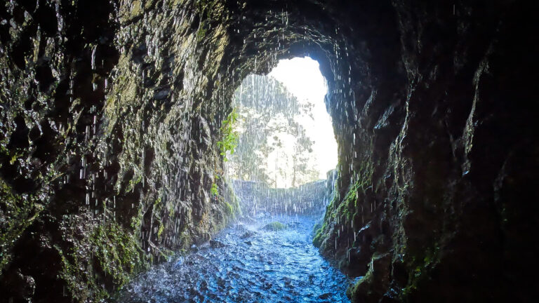
The shortest and most accessible walk in Los Tilos leads through two short, lit tunnels along an old water channel to the Cascada de los Tilos waterfall: just 0.5 km, 10 metres of elevation gain, easy, family-friendly, around 20–30 minutes. The path runs mostly level along the floor of the Barranco del Agua gorge — surrounded by laurel forest, damp rock faces and the sound of flowing water.

Read MoreCascada de los Tilos: A Short Gorge Adventure in Barranco del Agua

Los Tilos: Hiking in the Laurel Forest of the Biosphere Reserve

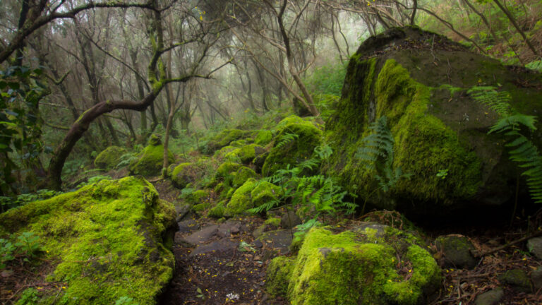
Bemoste Basaltfelsen im UNESCO-Biosphärenreservat Los Tilos

Los Tilos is the most significant laurel forest area on La Palma and one of the best-preserved laurel forests in the entire Macaronesia region. Nestled in the heart of Los Tilos, the Barranco del Agua is an absolute must-visit for nature lovers on La Palma: lush vegetation, moist gorge atmosphere, the Cascada de los Tilos waterfall and the starting point for the legendary Marcos y Cordero tunnel hike.

Read MoreLos Tilos: Hiking in the Laurel Forest of the Biosphere Reserve

Loop Hike: Volcanoes San Antonio and Teneguía from Faro de Fuencaliente

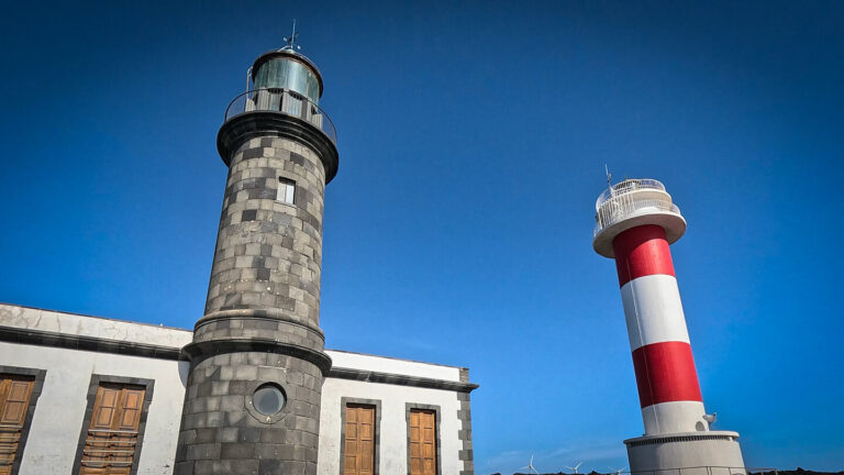
Zwei Leuchttürme, zwei Epochen – der alte und der neue Faro de Fuencaliente

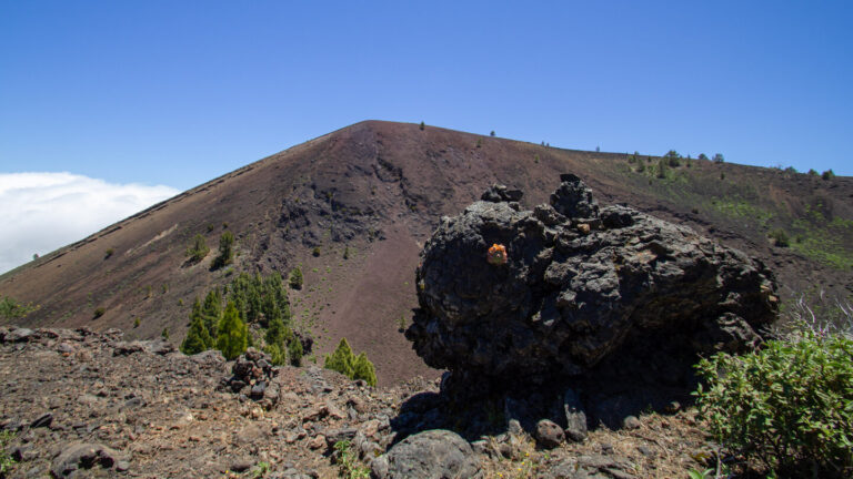
The circular hike around the volcanoes of San Antonio and Teneguía from the Faro de Fuencaliente lighthouse leads through the youngest volcanic landscape of La Palma: 13.7 km, 727 m, moderate to difficult, 5:30–7:00 hours. The barren, reddish-black lava landscape in the south of the island is characterized by direct volcanic history - the Teneguía last erupted in 1971.

Read MoreLoop Hike: Volcanoes San Antonio and Teneguía from Faro de Fuencaliente

GR-131 Stage 3: Ruta de los Volcanes — El Pilar to Faro de Fuencaliente

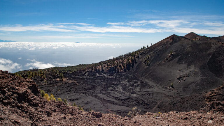
Lavasee Lavas la Malforada mit dem Montaña del Fraile

The third and final stage of the GR-131 El Bastón is the most famous hike in La Palma: the Ruta de los Volcanes from Refugio El Pilar to Faro de Fuencaliente. 22.8 km, difficult, 8:30 – 10:30 hours. The route runs along the summit ridge of the Cumbre Vieja — a history book of lava and ash — past the island's most striking volcanoes.

Read MoreGR-131 Stage 3: Ruta de los Volcanes — El Pilar to Faro de Fuencaliente

GR-131 El Bastón Stage 2: Ruta de la Crestería — Roque de los Muchachos to Refugio El Pilar

Kammwanderung von Roque de los Muchachos zum Pico de la Nieve.

The second stage of the GR-131 El Bastón follows the Ruta de la Crestería - La Palma's spectacular ridge trail: 26.1 km, 707 m ascent, 1,655 m descent, difficult, 9:00-11:30 hours. From the highest point on the island (Roque de los Muchachos, 2,426 m) via the Caldera ridge path through the national park, the Cumbre Nueva and the Cumbre Vieja to the Refugio El Pilar.

Read MoreGR-131 El Bastón Stage 2: Ruta de la Crestería — Roque de los Muchachos to Refugio El Pilar

Loop Hike to the Cuevas de Buracas: Dragon Trees and Cave Dwellings in Las Tricias

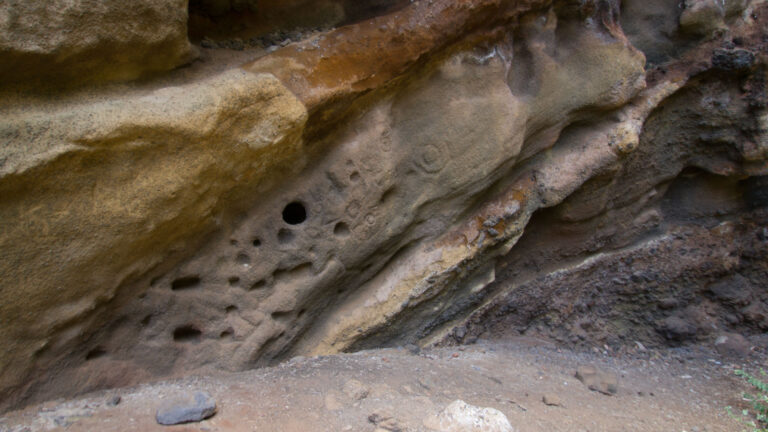
Cuevas de Buracas – Wohnhöhlen, Stallungen, Brunnen, Waschplätze und Petroglyphen der Benahoritas

The circular walk to the Cuevas de Buracas is one of the most rewarding easy routes in Garafía: 6.5 km, 479 m ascent, family-friendly, 2:30–3:00 hours. Often called the Buracas Dragon Tree Trail, this area is home to, as this area is said to have the highest concentration of century-old dragon trees in the Canary Islands.

Read MoreLoop Hike to the Cuevas de Buracas: Dragon Trees and Cave Dwellings in Las Tricias

Hike from El Tablado to Santo Domingo de Garafía on the GR-130

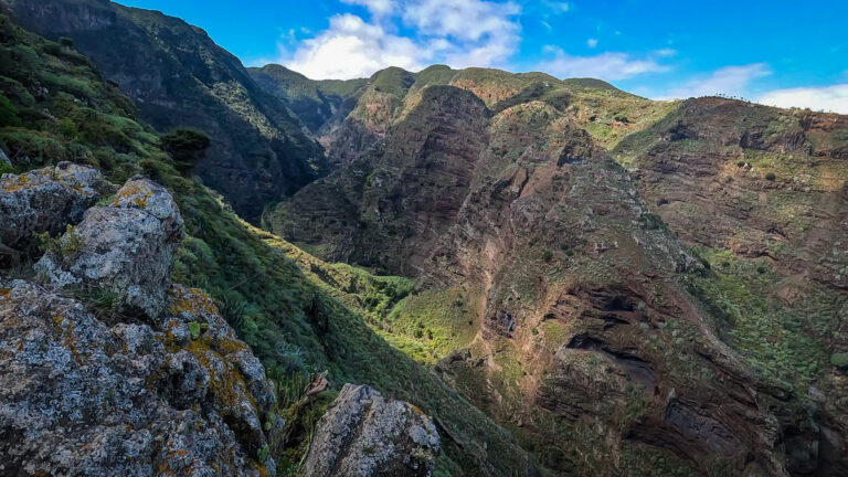
Blick in die Schlucht des Barranco Fagundo bei El Tablado im Nordwesten La Palmas

The hike from El Tablado to Santo Domingo de Garafía is one of the most demanding and impressive GR-130 stages: 13.2 km, 1,084-metre ascent, 1,090-metre descent, difficult, taking 5:00–6:00 hrs. The route leads through the municipality of Garafía through impressive, deep gorges - in the Guelguén nature reserve, with rare plant and bird species in different vegetation zones.

Read MoreHike from El Tablado to Santo Domingo de Garafía on the GR-130

GR-131 El Bastón Stage 1: From Puerto de Tazacorte to Roque de los Muchachos

Roque de los Muchachos: Ziel der ersten Etappe GR-131– El Bastón

The GR-131 El Bastón is La Palma's major long-distance hiking trail: 87 kilometers from the Atlantic in Puerto de Tazacorte to the Faro de Fuencaliente in the south, via the highest point on the island. The first stage leads from the sea to the summit - from Puerto de Tazacorte at 2,426 meters to the Roque de los Muchachos. A climb through all climate zones and vegetation levels of La Palma in a single day.

Read MoreGR-131 El Bastón Stage 1: From Puerto de Tazacorte to Roque de los Muchachos

Hike from Llano de las Moscas up to Pico Nambroque

Blick zum Pico Nambroque auf La Palma

Pico Nambroque (1,922 m) is the second-highest peak in the Cumbre Vieja - and the most unusual. While most neighboring volcanoes consist mainly of scoria, Nambroque is based on a massive basalt structure and has rocky phonolite domes. At the summit, deep lava and degassing vents lead directly into the interior of the mountain. The hike from Llano de las Moscas on the SL-LP 125 is 9 km, 454 m, moderate, 3:00–3:30 hours.

Read MoreHike from Llano de las Moscas up to Pico Nambroque

PR-LP 12.1: Hiking Trail Tinizara – Lomo de las Piedras Altas

Weinbaulandschaft am Refugio de Tinizara auf La Palma

The PR-LP 12.1 from Tinizara to Lomo de las Piedras Altas is a continuous uphill route: 5.3 km, 1,011 m, difficult, 2:15–3:15 hours. From 867 meters in Tinizara to 1,857 meters at Lomo de las Piedras Altas - almost continuously uphill, through pine forest, vineyards and open, high terrain. Breathtaking views over the west of La Palma to the Atlantic reward the effort.

Read MorePR-LP 12.1: Hiking Trail Tinizara – Lomo de las Piedras Altas

Hike Monte El Canal and Los Tilos: Through the Tunnel into the Laurel Forest

Mirador Espigón Atravesado im Biosphärenreservat Los Tilos auf La Palma

The hike from Monte El Canal through Los Tilos to Mirador Espigón Atravesado is one of the most beautiful easy tours in the northeast of La Palma: 5.1 km, 279 m, easy, child-friendly, 1:30–2:15 hours. The path begins on a closed forest road, leads through a 100-metre tunnel directly into the dense laurel forest and climbs gently uphill in the shade to the viewpoint.

Read MoreHike Monte El Canal and Los Tilos: Through the Tunnel into the Laurel Forest

Short Hike from Mirador del Barranco de Jurado to Pirate Bay

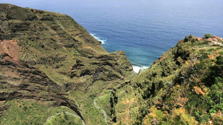
Mirador Barranco del Jurado – Ausblick über La Palmas Westküste

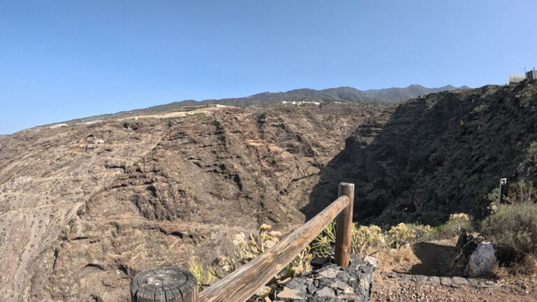
If you want to go straight into the heart of the gorge and to the Pirate Bay, start at the Mirador del Barranco Jurado. From here it's 5.5 km there and back - with 682 meters of elevation gain in just 5.5 km and an average gradient of over 25 percent. Sunhikes classifies the tour as difficult, with alpine terrain, a good head for heights, sure-footedness and good baseline level of fitness as requirements. Trail traffic: moderate.

Read MoreShort Hike from Mirador del Barranco de Jurado to Pirate Bay

Hike Through Barranco del Jurado to Pirates Cove on La Palma

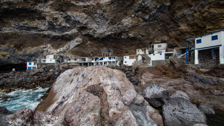
Porís de Candelaria — Piratenbucht auf La Palma

The Pirate Bay - officially Porís de Candelaria - is one of the most impressive and strange destinations in La Palma: a community of cave dwellings built into the bulge of a rocky head right on the sea. Access is only possible on foot. The hike through the Barranco del Jurado gorge on the PR-LP 12.2 from El Jesús is 4.8 kilometers long, 247 m ascent, 772 m descent - moderate, but with a long, steep descent into the gorge.

Read MoreHike Through Barranco del Jurado to Pirates Cove on La Palma

Caldera high-altitude hiking trail: Pico de la Nieve to Roque de los Muchachos

Blick entlang der Gipfelkette der Ruta de Crestería auf La Palma

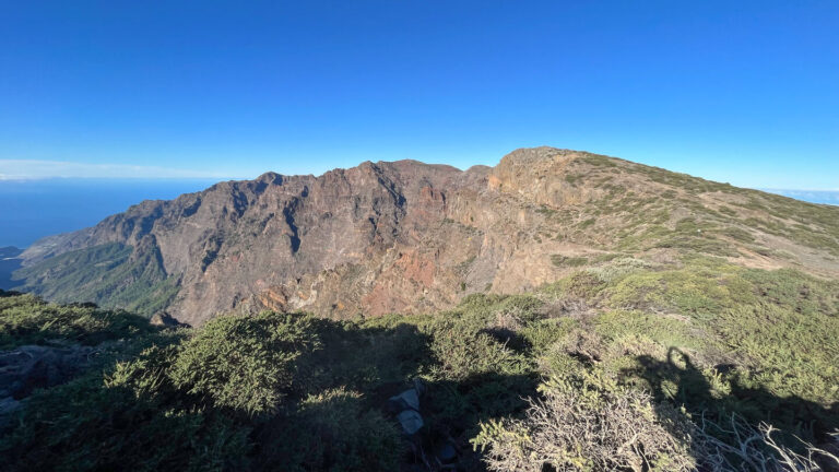
The Ruta de la Crestería is one of the most beautiful hiking trails in La Palma: 20.5 km, 1,240 m, difficult, 7:30–8:30 hours. The ridge route from Pico de la Nieve (2,239 m) to Roque de los Muchachos (2,426 m) runs continuously over 2,000 meters above sea level on the caldera ridge - with views of the national park and the coast, over the sea of clouds of the trade winds and to the neighboring islands.

Read MoreCaldera high-altitude hiking trail: Pico de la Nieve to Roque de los Muchachos

Hike from La Cumbrecita to Mirador del Morro de los Gatos

steil aufragende Felswand am Morro de los Gatos in der Caldera de Taburiente

The walk from La Cancelita viewpoint to Mirador del Morro de los Gatos follows the foot of Pico Bejenado deep into the national park. 7.1 km, 771 m elevation gain, out-and-back — sure-footedness and a good head for heights required. The Mirador is located halfway between Lomo de las Chozas and La Cancelita and offers wonderful views of the north side of the park and Playa de Taburiente.

Read MoreHike from La Cumbrecita to Mirador del Morro de los Gatos

Hike Pico de la Nieve to Ermita de la Virgen del Pino: The Southern Caldera Ridge

Höhenwanderweg Crestería auf dem Kamm der Caldera de Taburiente.

This hike is one of the most complete Caldera ridge routes in La Palma: 13.0 kilometers, 494 m ascent, 1,609 m descent, difficult. The path leads from the car park at the Pista del Pico de la Nieve over three waymarks - PR-LP 3, GR-131 and PR-LP 1 - along the ridge of the Caldera de Taburiente, past the petroglyph site Erita de los Guanches, over Punta de los Roques (2,085 m) with the Refugio refuge, continue via Pico de Corralejo and Pico Ovejas to the Reventón Pass and through pine forest downhill to the Ermita de la Virgen del Pino.

Read MoreHike Pico de la Nieve to Ermita de la Virgen del Pino: The Southern Caldera Ridge

Hike from Mirador de la Tosca to Gallegos on the GR-130

Terrassierte Anbauflächen bei Gallegos.

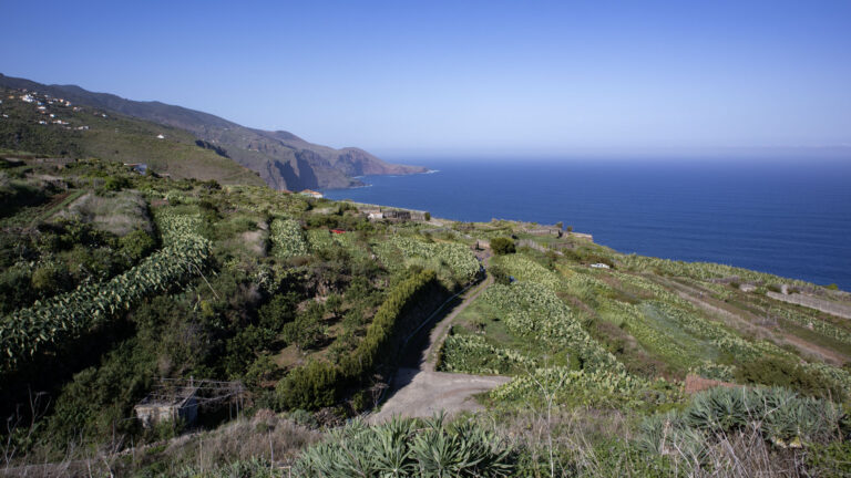
The hike from Mirador de la Tosca to Gallegos follows the GR-130 Camino Real de la Costa - the historic coastal path of La Palma - over almost 10 km through four gorges with constant ups and downs: 9.8 km, 445 m, moderate, 3:30-4:00 hours. The route is considered the most accessible of the north coast stages and still offers the typical dynamics: dragon trees on the mountain ridges, laurel forest vegetation in the gorge depths, wide coastal panoramas.

Read MoreHike from Mirador de la Tosca to Gallegos on the GR-130

Loop Hike La Cumbrecita: Mirador de los Roques and Lomo de las Chozas

Ausblicke von La Cumbrecita in die nebelverhangene Caldera de Taburiente

La Cumbrecita is the most popular access to the Caldera de Taburiente National Park for day tourists - and the starting point for this small, impressive circular hike: 3 km, 185 m, easy, 1:00 - 1:30 hours. Two viewpoints, a pine forest descent, magnificent caldera views. The tour connects the Mirador de los Roques (view of the Roques de la Cumbrecita and the Pico Bejenado) with the Mirador Lomo de las Chozas (fantastic deep view of the caldera).

Read MoreLoop Hike La Cumbrecita: Mirador de los Roques and Lomo de las Chozas

PR-LP 8: Hiking Trail from Pico de la Cruz to Barlovento

Wanderweg PR-LP 8 durch die Hochgebirgsvegetation La Palmas.

The PR-LP 8 is one of the most impressive descent routes in La Palma: 11.9 km, 26 m ascent, 1,799 m descent, difficult, 4:00–4:45 hours. The path begins at Pico de la Cruz - one of the highest mountains in La Palma on the LP-4 - with a fantastic view of the impressive Caldera de Taburiente National Park, and leads downhill to Barlovento. Shortly before the destination: the Laguna de Barlovento reservoir in an old volcanic crater.

Read MorePR-LP 8: Hiking Trail from Pico de la Cruz to Barlovento

PR-LP 7: Hiking Trail from Pico de la Cruz to Los Sauces

Ausblick über den Barranco de Gallegos zur Küste.

Almost 2,200 meters downhill - the PR-LP 7 from Pico de la Cruz to Los Sauces is one of the major descent routes in La Palma. 14.4 kilometers, 145 m ascent, 2,178 m descent, difficult. The path begins at 2,351 meters on the caldera rim with panoramic views over the Caldera de Taburiente National Park - and ends at 274 meters at Avenida de Los Sauces, where restaurants and cafés await those arriving.

Read MorePR-LP 7: Hiking Trail from Pico de la Cruz to Los Sauces

Hike from El Tablado to Gallegos on the GR-130

Weiler El Tablado an der Nordküste La Palmas

The hike from El Tablado to Gallegos on the GR-130 leads through the wildest gorge area on the north coast of La Palma: 9.4 km, 897 m ascent, 933 m descent, difficult, approx. 4:00-5:00 hours. The route crosses four gorges - including the mighty Barranco de los Hombres - passes the hamlet of Franceses and ends in Gallegos with the opportunity to stop for a break at the bar Víveres Gallegos.

Read MoreHike from El Tablado to Gallegos on the GR-130

Loop Trail: Pico de la Nieve and Ermita de los Guanches – Petroglyphs and Summit Panorama

Gipfelkreuz Pico de la Nieve – Teneriffa und Teide am Horizont

The Pico de la Nieve (2,232 m) is one of the highest viewpoints on the southern chain of the Caldera de Taburiente National Park. The circular hike combines the ascent to the summit with a visit to the Erita de los Guanches - one of the most important archaeological sites in La Palma. 5.0 km, 327 m, moderate.

Read MoreLoop Trail: Pico de la Nieve and Ermita de los Guanches – Petroglyphs and Summit Panorama

Loop Hike Cubo de la Galga: Laurel Forest and Gorge in Las Nieves Natural Park

Felsen im Lorbeerwald Cubo de Galga auf La Palma

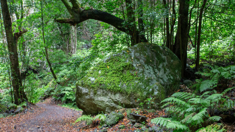
The Cubo de la Galga circular hike on the PR-LP 5.1 is one of the most beautiful entry routes into the laurel forest landscape of La Palma. 8.4 kilometers, 513 m, moderate. The path begins on the country road LP-1 at the information point between two tunnels just after km 16 and leads through the Barranco de la Galga gorge up into the Cubo de la Galga basin - a quiet, damp forest area with laurel trees, lianas, ferns and moss-covered rock formations.

Read MoreLoop Hike Cubo de la Galga: Laurel Forest and Gorge in Las Nieves Natural Park

Loop Hike: Pico Birigoyo and Pico Nambroque in Cumbre Vieja Natural Park

Blick zum Gipfel des Pico Birigoyo im Naturpark Cumbre Vieja auf La Palma

The circular hike Pico Birigoyo and Pico Nambroque is one of the most varied tours in the Cumbre Vieja Natural Park: 15.8 km, 733 m, difficult, 4:30–5:30 hours. The route crosses four peaks — Pico Birigoyo, Montaña la Barquita, Montaña Pelada, Montaña de los Charcos — and finally to Pico Nambroque (1,922 m) with three different trail markers: GR-131, SL-LP 125 and PR-LP 16.

Read MoreLoop Hike: Pico Birigoyo and Pico Nambroque in Cumbre Vieja Natural Park

Mirador de Los Andenes to Roque de los Muchachos: Hike on the Roof of La Palma

Wanderweg entlang der über 2.000 Meter hohen Gipfelkette der Insel La Palma

From Mirador de Los Andenes - also called Mirador de Franceses - at 2,250 metres to Roque de los Muchachos at 2,426 meters: 7.1 kilometers, moderate, there and back. The GR-131 leads with sensational views along the peak chain of the Caldera de Taburiente National Park - always on the side facing the caldera, with deep views over gorges and steep walls that drop vertically up to 800 meters.

Read MoreMirador de Los Andenes to Roque de los Muchachos: Hike on the Roof of La Palma

Ruta de los Volcanes: The Great Volcano Ridge from El Pilar to Fuencaliente

Ruta de los Volcanes, im Hintergrund der Cráter del Hoyo Negro und Deseada.

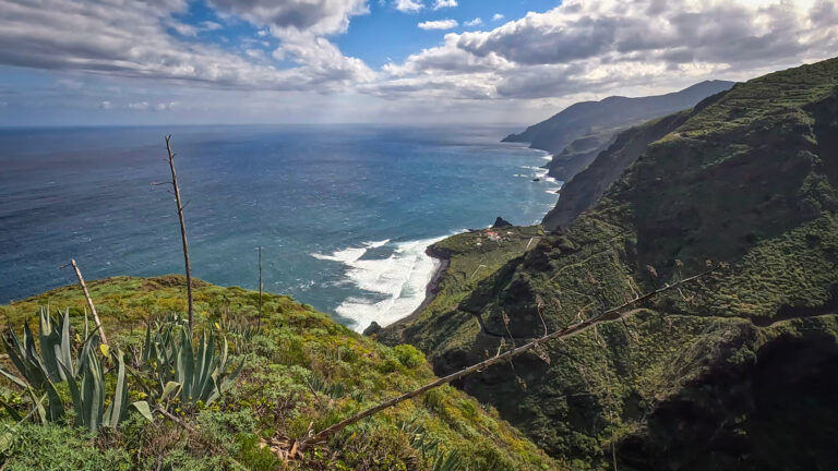
The Ruta de los Volcanes is an 18.7 kilometer long high-altitude hiking trail over the mountain ridge of the Cumbre Vieja. It leads from the rest and camping area Refugio El Pilar at 1,455 meters on the long-distance hiking trail GR-131 over all the important volcanic cones of the southern ridge: Pico Birigoyo, Hoyo Negro, Nambroque, Duraznero, Deseada and Vulkán Martín - until the descent through dense pine forest to Fuencaliente. At the end point there is a taxi rank and a bus stop.
Read MoreRuta de los Volcanes: The Great Volcano Ridge from El Pilar to Fuencaliente

PR-LP 13: Hike from Los Brecitos Through the Caldera de Taburiente

Playa de Taburiente mit Roque Huso

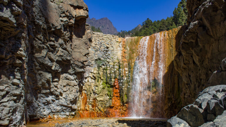
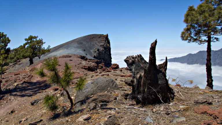
The hike from Los Brecitos through the Caldera de Taburiente is one of the most impressive routes on La Palma. 13.9 km · 381m ascent · 1,156m descent · Strenuous. The path leads from the Mirador de Los Brecitos on the PR-LP 13 through the heart of the national park: over gorge passages with wooden bridges, past the rock pinnacles of Los Agujeritos and the Roque Idafe, to the Playa de Taburiente, through the steep section of El Reventón (literally "the lung-burster"), along the Cascada de Colores and finally through the Barranco de las Angustias to the hiking car park in the Barranco.
Read MorePR-LP 13: Hike from Los Brecitos Through the Caldera de Taburiente