
Mirador de Los Andenes to Roque de los Muchachos: Hike on the roof of La Palma
From Mirador de Los Andenes – also called Mirador de Franceses – at 2,250 metres to Roque de los Muchachos at 2,426 meters: 7.1 kilometers, moderate, there and back. The GR-131 leads with sensational views along the peak chain of the Caldera de Taburiente National Park – always on the side facing the caldera, with deep views over gorges and steep walls that drop vertically up to 800 meters.
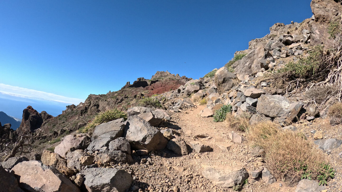
The route is not technically demanding – the path is well marked and easy to follow. What the hike requires: sure-footedness and a head for heights
The starting point is directly on the mountain road LP-4. The end point is the summit of the Roque de los Muchachos – the highest point in La Palma – from which you return the same way.
Route facts at a glance
| Route type | Out and back |
|---|---|
| Distance | 7.1 km |
| Elevation | 479 m ascent / 476 m descent |
| Highest point | 2,414 m (Roque de los Muchachos: 2,426 m) |
| Lowest point | 2,254 m (Mirador de Los Andenes) |
| Duration | 2:30–3:15 hours |
| Difficulty | Moderate (sure-footed, head for heights required) |
| Starting point | Mirador de Los Andenes (also Mirador de Franceses), LP-4, 2,250 m |
| End point | Roque de los Muchachos, 2,426 m (return by same path) |
| Waymarking | GR-131 (red and white waymarks) |
| Protected area | Caldera de Taburiente National Park |
| Equipment | Water, sturdy footwear, sun protection, provisions, windproof layer |
Directions and starting point
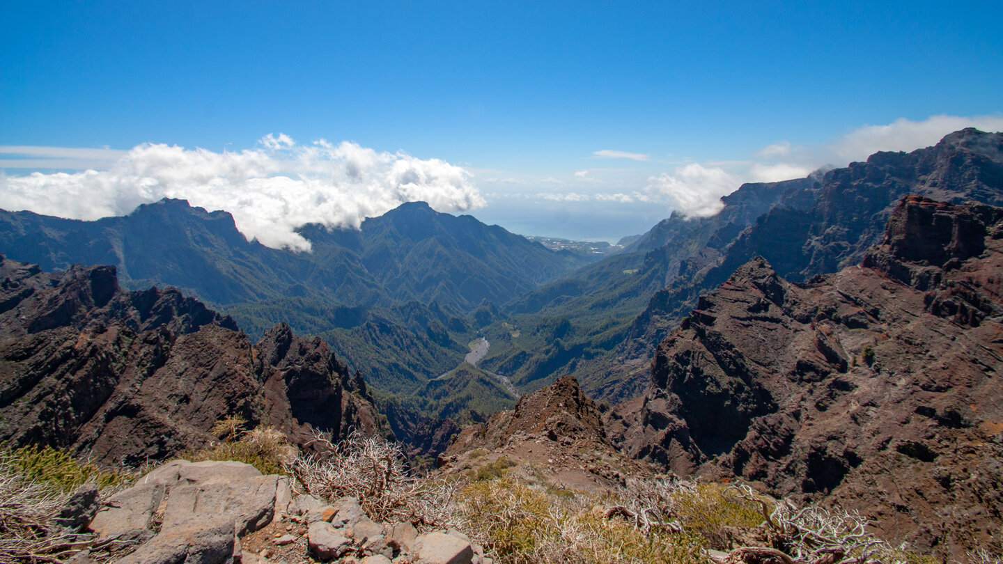
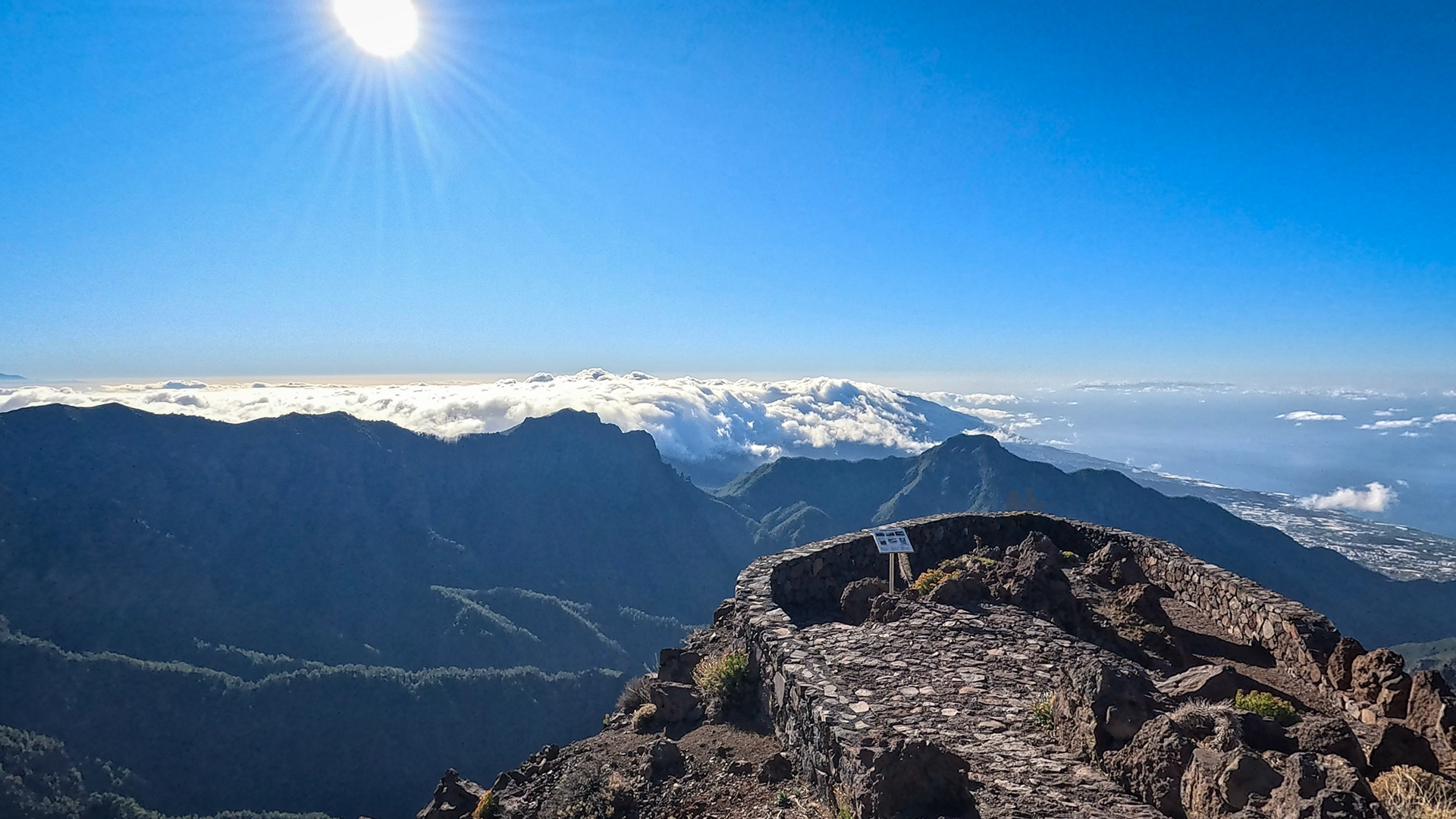
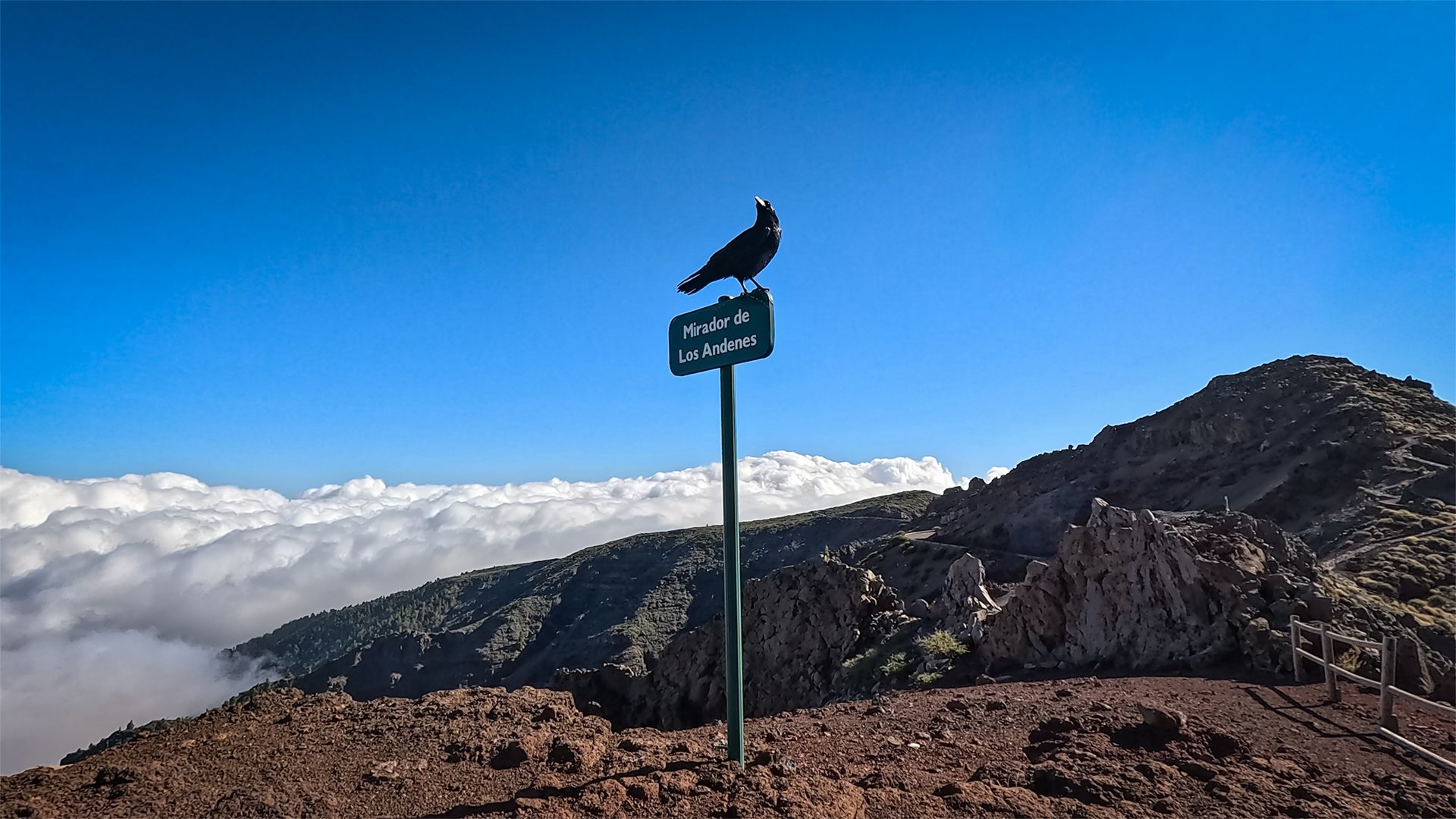
The Mirador de Los Andenes (also called Mirador de Franceses) is located directly on the mountain road LP-4 at an altitude of 2,250 metres. From the viewpoint you can see almost the entire course of the Barranco de las Angustias in the Caldera de Taburiente National Park. The car park at the Mirador is the starting point of the hike.
Arrival
From El Paso or Los Llanos de Aridane via the LP-3 and LP-301 towards Roque de los Muchachos. The LP-4 leads from the plateau to the ridge – the Mirador de Los Andenes is halfway between El Paso and the summit car park. Travel time from El Paso: approx. 35 minutes.
Temperature and wind
At over 2,000 meters it is significantly cooler than on the coast, even in summer – and on the exposed ridge the wind can be significant. Wind protection is mandatory, even if the day is sunny and warm below. The temperature difference to the coast is often 10 to 15°C.
The route in detail
Section 1: Mirador de Los Andenes to the Pared de Roberto
The hiking trail begins directly to the right of the railing of the viewing platform of the Mirador de Los Andenes. Follow the well-marked GR-131 in red and white markings. The path initially runs along the foot of a gray rock formation. It then crosses a steep slope covered in red-colored pyroclasts – volcanic ejecta that gives the terrain its characteristic red colour.
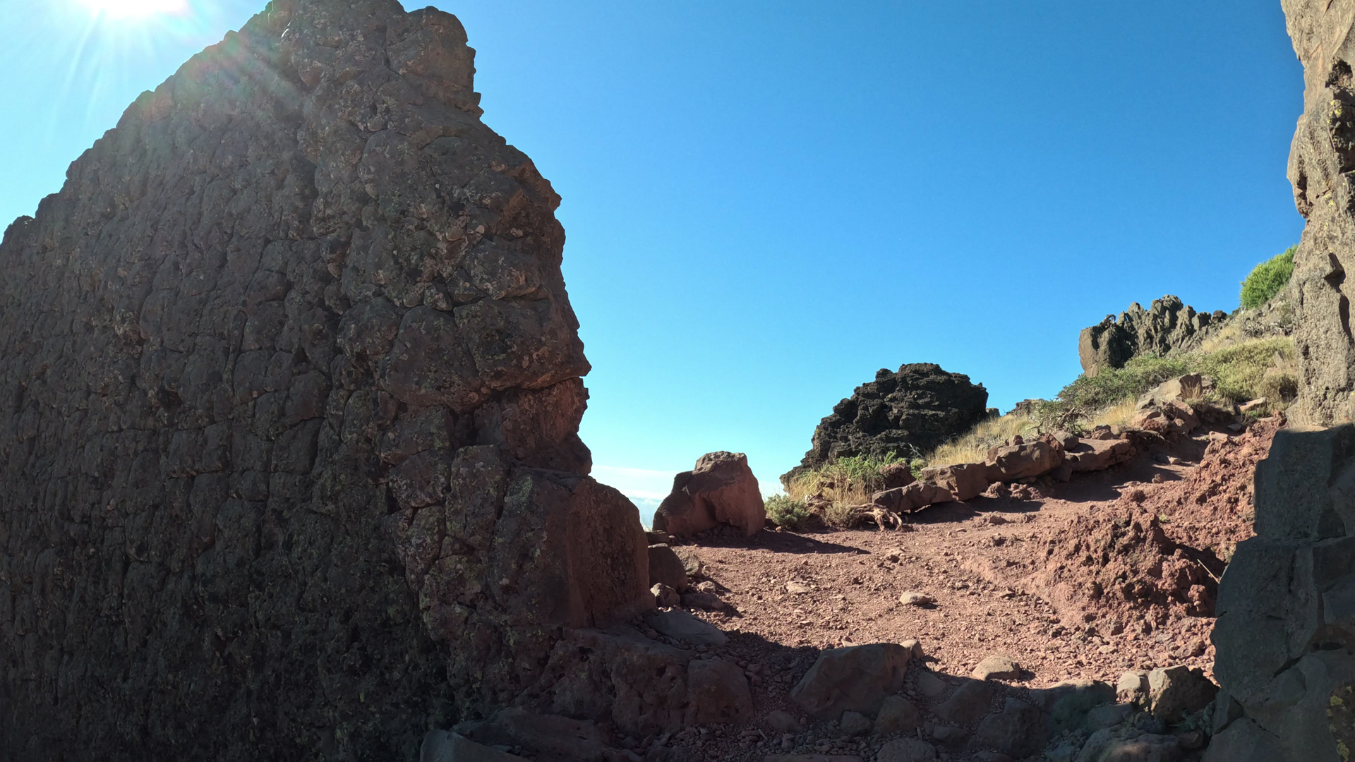
From the distance you can already see the Pared de Roberto – a striking basalt wall that, according to legend, was created by the devil. You walk through this wall through a V-shaped opening and shortly afterwards you reach a natural viewing point on an edge of the terrain. From here: deep views over the Caldera de Taburiente National Park, numerous gorges, the surrounding chain of peaks and, to the south, the volcanoes of the Cumbre Vieja.
Section 2: High mountain landscape to Pico Fuente Nueva (2,372 m)
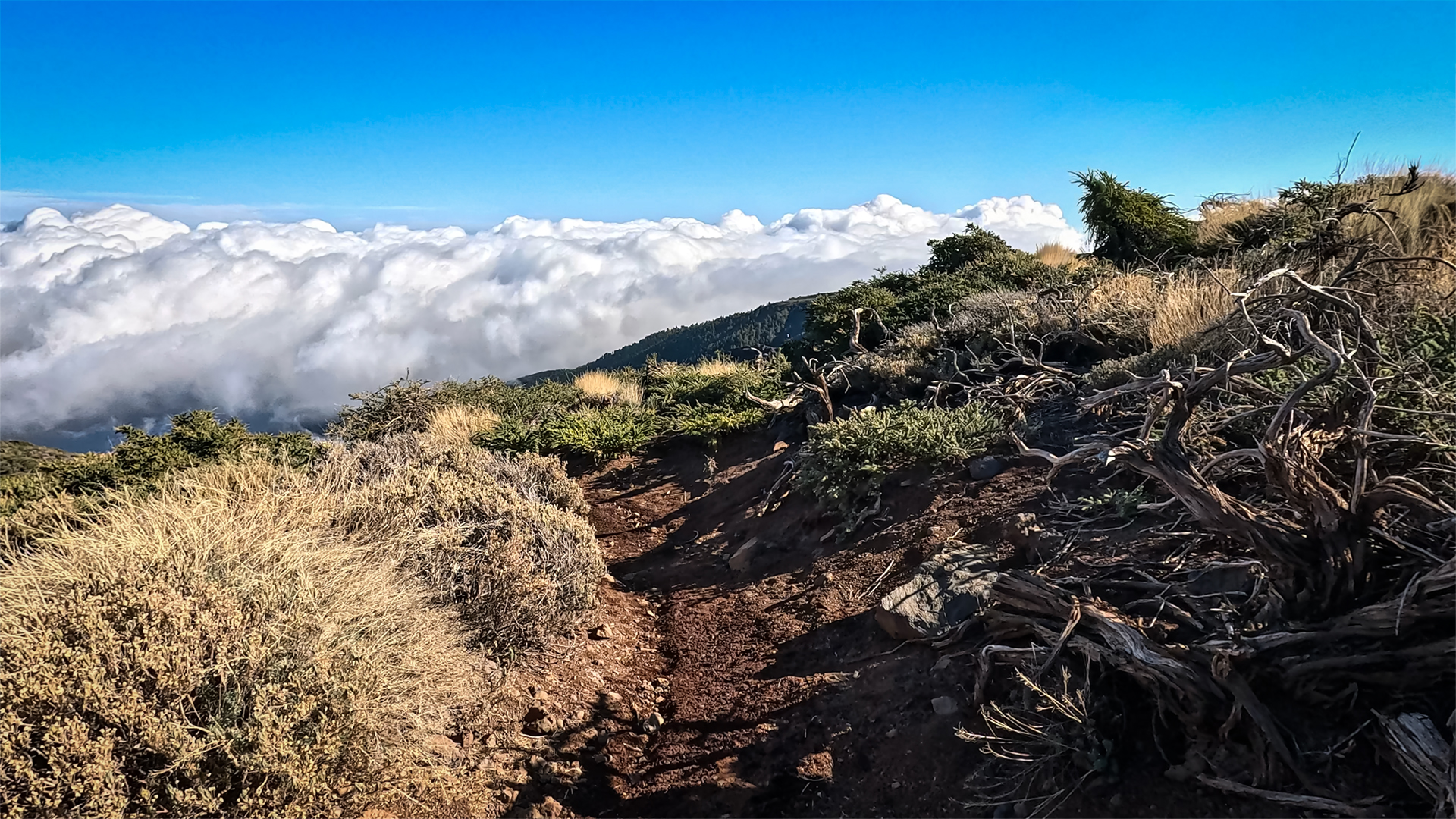
The hiking trail climbs, only to descend steeply again shortly afterwards. Along the partly paved path you pass further rock faces exposed by erosion. The high mountain landscape at over 2,000 meters is barren: hardly any vegetation, but a clear view in all directions.
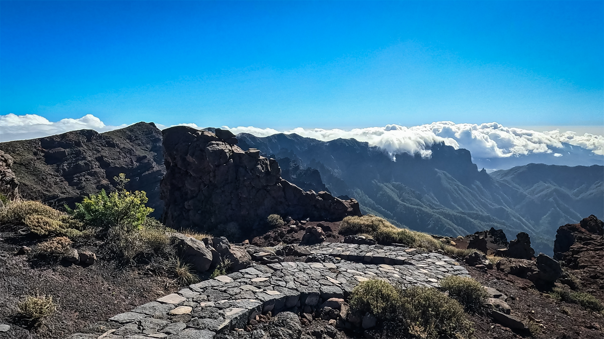
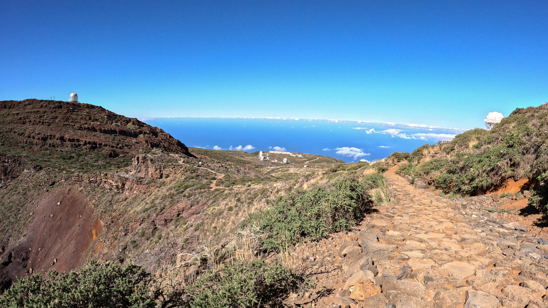
The path always winds up on the side of the mountain range facing the caldera towards the Astrophysical Observatory. You pass the junction to another viewpoint, also called Mirador de Los Andenes – it is best to visit this platform on the way back. Then the first white glowing telescopes of the observatory appear.
Passing two telescopes you reach the Pico Fuente Nueva (2,372 m). From here you can already see the summit of the Roque de los Muchachos and the viewpoints on the mountain ledge Espigón de los Muchachos.
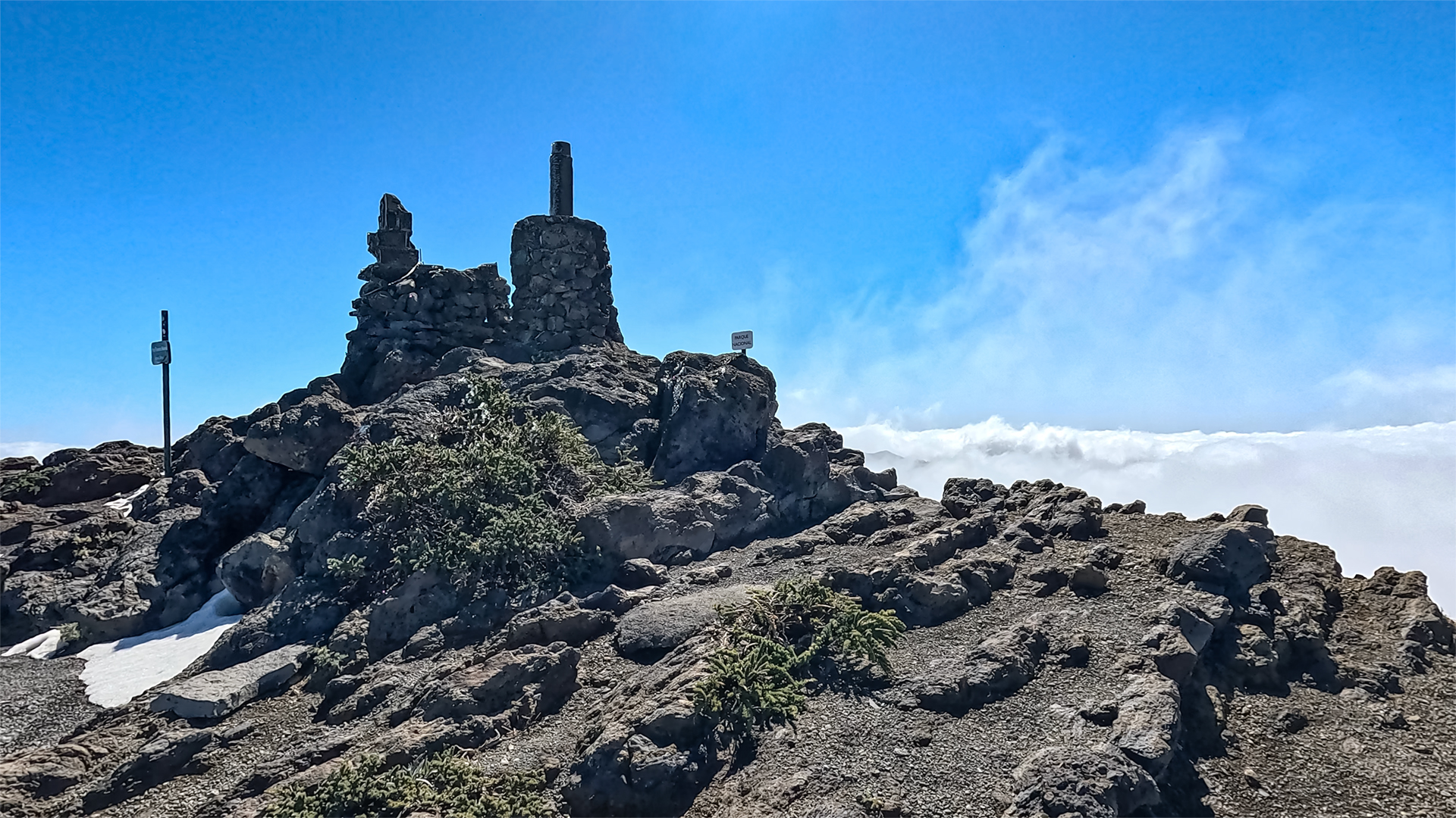
Section 3: Roque de los Muchachos summit (2,426 m)
From Pico Fuente Nueva the path briefly follows a paved private road belonging to the observatory. Then follows a depression with views of the mountain slopes colored in various shades of red. In numerous serpentines the path winds its way up to the car park at Roque de los Muchachos.
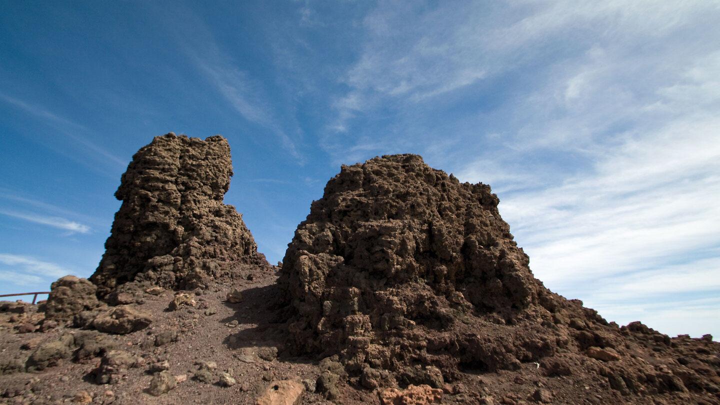
Once at the top, it takes just a few steps to reach the rock formation surrounded by railings at the summit of the Roque de los Muchachos at 2,426 meters – the highest point in La Palma. From here you can enjoy fantastic views over the entire island and, on a clear day, as far as the neighboring islands of Tenerife, La Gomera and El Hierro. The way back leads along the same path back to the Mirador de Los Andenes.
The Astrophysical Observatory
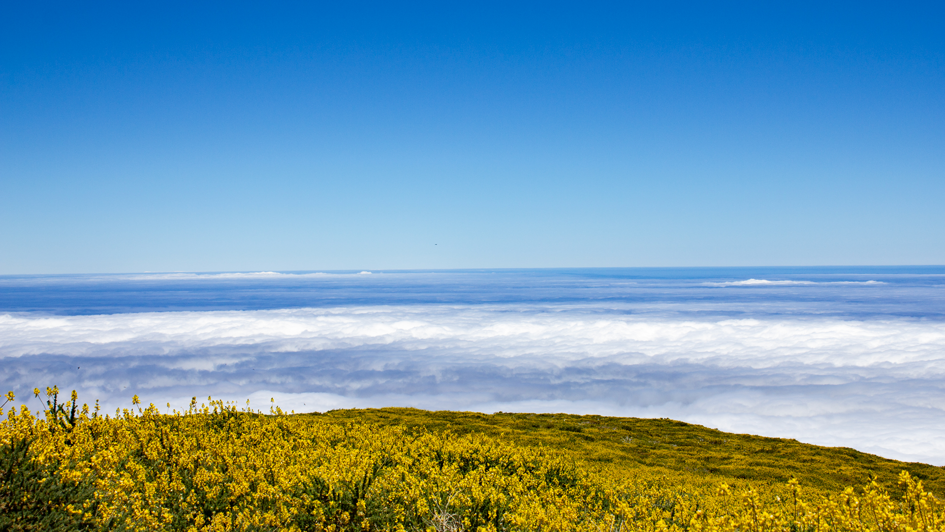
The Observatory of the Roque de los Muchachos is one of the most important astronomical research centres in Europe. The exceptional location at over 2,400 meters, above the inversion layer of the trade wind clouds and far from light pollution, makes the site one of the best observation sites in the world. La Palma, along with Mauna Kea in Hawaii, is recognised as having one of the darkest skies in the Northern Hemisphere.
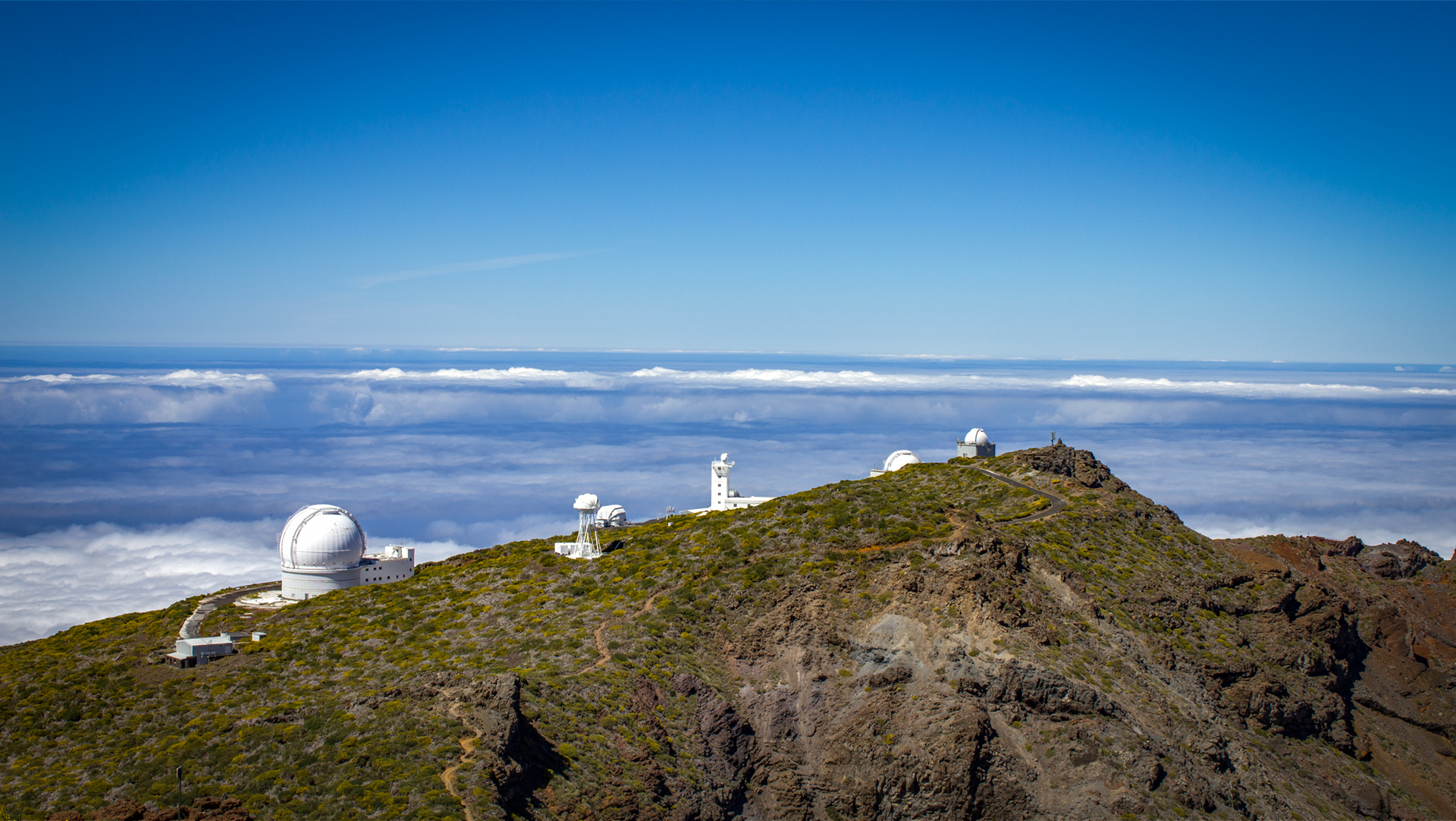
On the hike you pass several of the telescopes: the Gran Telescopio Canarias (GTC) – with a mirror diameter of 10.4 meters, the largest single-mirror telescope in the world – and other facilities from ESA, NASA and European research institutions. The observatory is not a museum: the telescopes are used for active scientific purposes.
Geology: Pyroclasts, Dykes and High Mountains
The red slope at the start of the route consists of pyroclasts – volcanic ejecta that develop their characteristic colour when cooled in the air. The Pared de Roberto is a volcanic dyke: a basalt dike that was formed when liquid lava penetrated a crack in the existing rock and cooled there. Harder material than the surrounding area — it remained standing while the rock around it eroded.
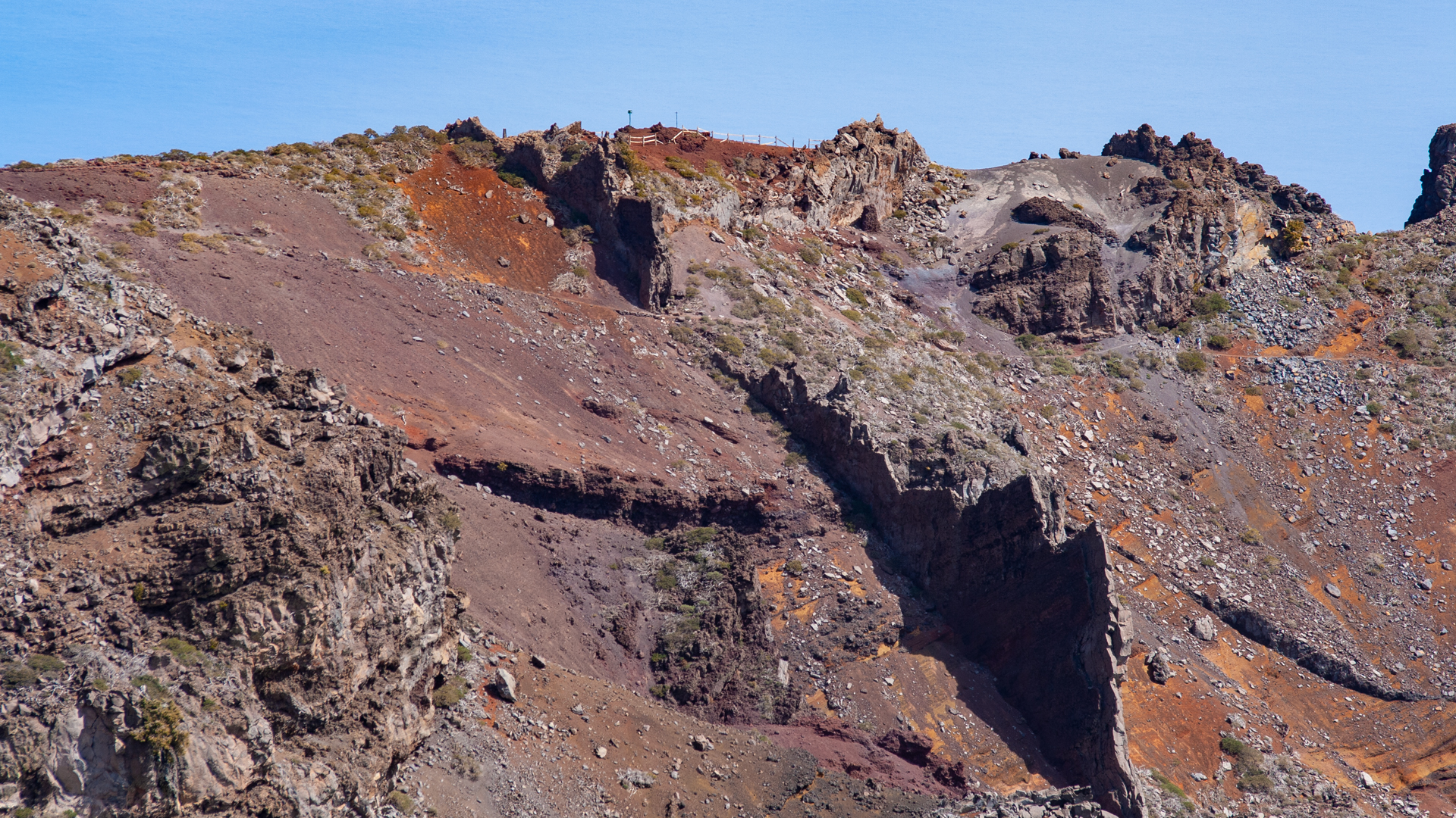
The entire high mountain landscape above 2,000 meters shows La Palma in a condition close to the original: hardly any vegetation, exposed rock, strong wind – a biotope that only exists at this altitude in the Canary Islands. Typical plants are Tajinaste azul (blue viper’s head, endemic) and white broom.
Starlight reserve and dark sky
La Palma is a globally recognised Starlight Reserve – one of the first protected areas for the natural night sky. The observatory at Roque de los Muchachos benefits directly from this status: the island has legally enshrined regulations on light pollution that ensure that the quality of the sky is maintained.
If you hike from the Mirador de Los Andenes to the summit during the day and come back to the area in the evening, you will experience the contrast: the same landscape in which you walk over pyroclastics and past telescopes during the day becomes the best starry sky in Europe at night. The Gran Telescopio Canarias observes galaxies billions of light years away. Above the Mirador de Los Andenes they are the same stars that you can see with the naked eye.
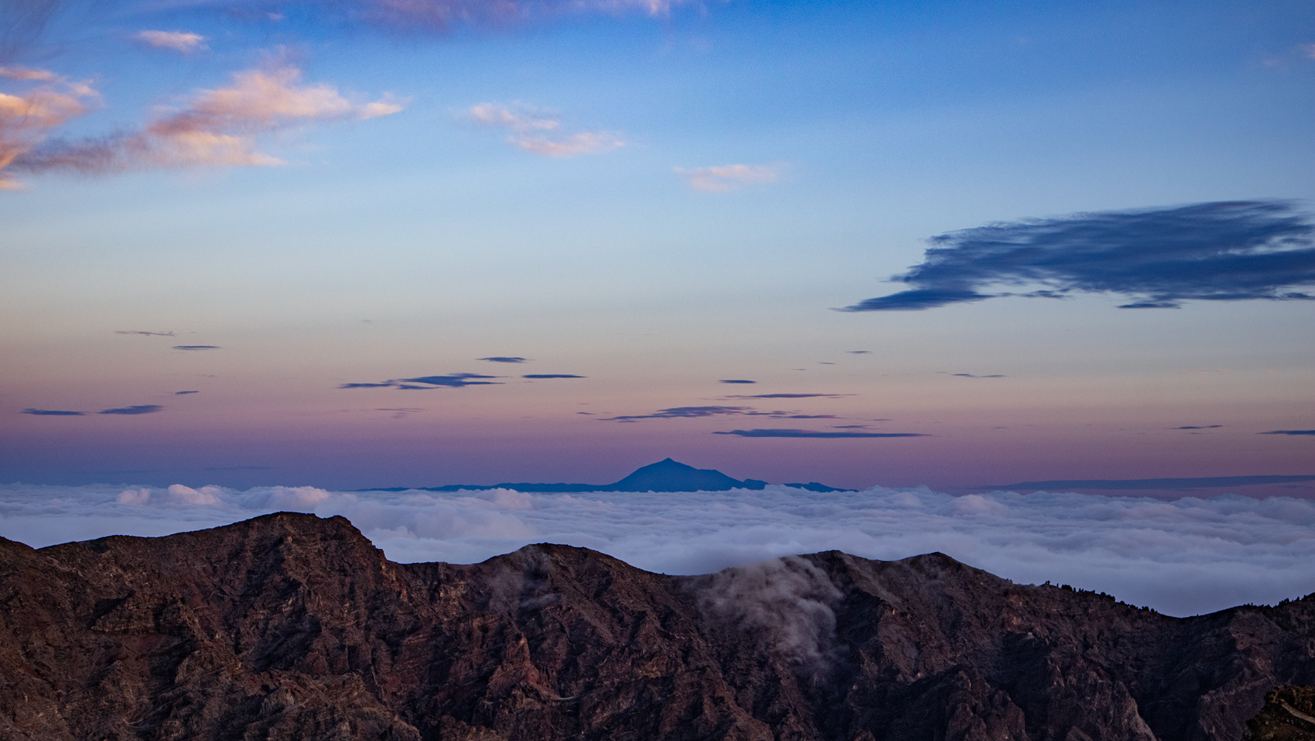
For hikers who want to visit the summit at sunset: Daylight leaves the ridge quickly. The temperature drops significantly within minutes after sunset at over 2,000 meters. Headlamp and warm clothing mandatory for an evening visit.
The view: What you see from the summit
From Roque de los Muchachos at 2,426 meters you can see the entire island of La Palma on a clear day: in the north the laurel forest areas, in the south the Cumbre Vieja with the Tajogaite lava field, in the west the cliffs and in the east the gentler terrain of the northeast. In the depths directly below the summit: the huge steep walls of the Caldera de Taburiente.
When the visibility is clear, the neighboring islands lie strung out on the horizon: Tenerife with the Teide (3,718 m) in the east, La Gomera and El Hierro in the southeast. On exceptional days, the Atlas Mountains can even be seen in North Africa. The Espigón del Roque – a short detour of a few minutes from the summit car park – offers a vertical view directly into the caldera.
One last note about finding your way: The summit car park of the Roque de los Muchachos is a few meters below the actual summit. Anyone driving a car will be at 2,420 meters. If you come on foot from the Mirador de Los Andenes, you climb the last serpentines and reach the same point – with the difference that each of the 479 meters of altitude is deserved. The rock formation at the summit, surrounded by railings, can be reached from both starting points in just a few steps.
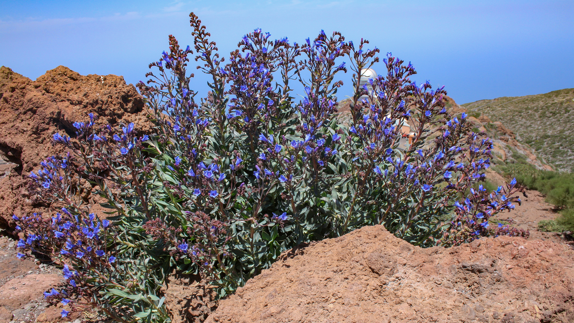
The Tajinaste azul – the blue viper’s head (Echium webbii) – is one of the rare endemic high mountain plants of La Palma and blooms at this altitude from April to June. In good years it lines the path in petal blue. Outside the flowering period, the picture is dominated by the white broom (“Spartocytisus supranubius“) with white flowers and the Teide violets (“Viola cheiranthifolia“) – both adapted to their life on bare volcanic rock above the tree line.
Best travel time
| Season | Character | Note |
|---|---|---|
| Spring (March-May) | Clear view, Tajinaste is in bloom | Best time to visit; Summit panorama at peak level |
| Summer (June–Aug) | Mostly cloud-free over inversion layer | Cool on the ridge; Wind protection always necessary |
| Autumn (Sept–Nov) | Good light, heavy traffic | Route heavily visited; start early for rest |
| Winter (Dec-Feb) | Snow possible, ice on the path | Do not walk in frost or ice; Check weather |
Equipment
| Footwear | Sturdy hiking boots with grip — loose rock and pyroclasts in places |
|---|---|
| Windproof layer | Essential — gusts on the ridge can be strong, even on fine days |
| Sun protection | Long stretches without shade above 2,000 m; UV intensity very high |
| Water | Bring enough for 2:30–3:15 h; no water source on the route |
| Clothing | Layers — warm on the coast can mean cold on the ridge |
Combinable tours
| Tour | Data | Character |
|---|---|---|
| Espigón del Roque from Roque de los Muchachos | 1.2 km, 90 m / easy | Short detour directly from the summit; spectacular caldera views |
| Roque de los Muchachos – Roque Palmero | 6.4 km, 274 m / easy | Continue to the summit chain; colorful mountain slopes |
| Pico de la Cruz – Roque de los Muchachos | 10.1 km, 598 m / moderate | Longer chain of peaks from the south; as a combination with directions LP-4 |
GPS track and 3D route planner
All data for the hike from Mirador de Los Andenes to Roque de los Muchachos — distance, elevation profile, waypoints and GPX track — on the route page of the Sunhikes hiking portal.
To the route page on Sunhikes: Hike from Mirador de Los Andenes to Roque de los Muchachos
Plan your own route with the 3D route planner from Sunhikes
Practical Tips
Emergency: 112. Mobile coverage is usually available on the ridge above 2,000 m, but not guaranteed. Share your location before setting off.
This route is heavily used according to Sunhikes. At weekends and on public holidays, the summit car park and the Mirador car park fill up quickly. Arriving at Mirador de Los Andenes early — before 9 a.m. — often means having the ridge to yourself.
The second Mirador de Los Andenes — the viewpoint platform at the path junction — is passed on the way up. Sunhikes recommends visiting it on the return, as the viewpoint sits above the path and fits more naturally into the return journey.
Note: National Park and Nature Conservation
The route is located in the Caldera de Taburiente National Park. There are travel restrictions, rubbish removal and a fire ban. The high mountain vegetation at over 2,000 meters is extremely sensitive – every step off the path destroys structures that take decades to recover.
Frequently asked questions
How do you get to the Mirador de Los Andenes?
Is the route suitable for children?
What is the Pared de Roberto?
Can you visit the observatory?
This article is based on the on-the-ground knowledge of the Gequo editorial team – publishers of the Reisezeit hiking guides and operators of Sunhikes.com. Last updated: May 2026


