
Hike La Cumbrecita to the Mirador del Morro de los Gatos
The walk from La Cancelita viewpoint to Mirador del Morro de los Gatos follows the foot of Pico Bejenado deep into the national park. 7.1 km, 771 m elevation gain, out-and-back — sure-footedness and a good head for heights required. The Mirador is located halfway between Lomo de las Chozas and La Cancelita and offers wonderful views of the north side of the park and Playa de Taburiente.
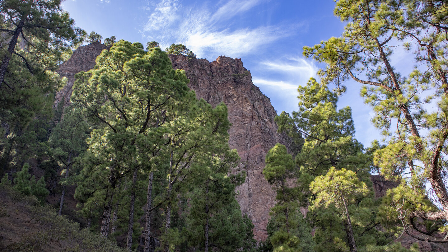
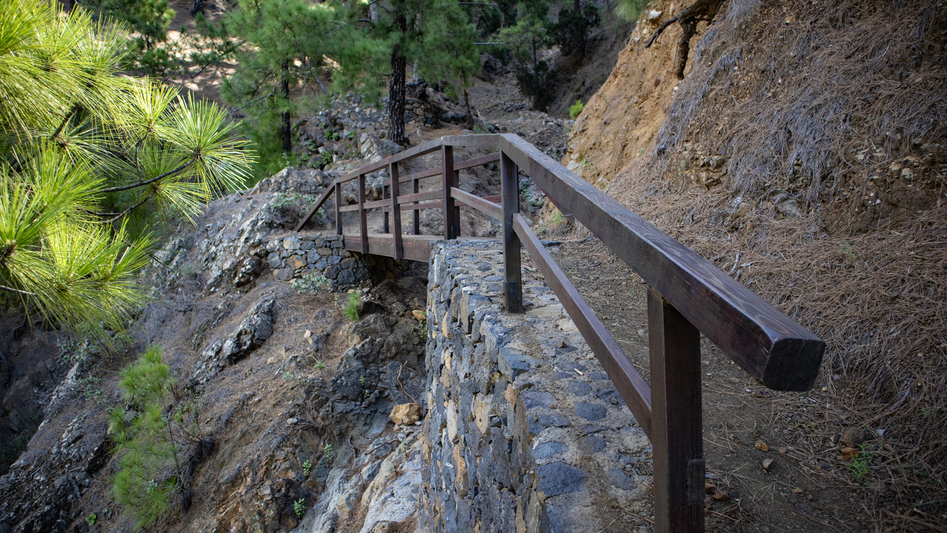
Along the route, you cross two wooden bridges over the Barranco de Madera García and Barranco de Huanauao ravines, pass the Roque de la Zarza, and reach Fuente de las Brujas shortly before the end. At Morro de los Gatos itself there is an optional, signposted descent to the steep walls – only for experienced mountaineers.
Permit required: Access to Cumbrecita on the LP-302 requires a free permit. Book online or at the National Park Visitor Centre in El Paso.
Route details at a glance
| Route type | Out and back |
|---|---|
| Distance | 7.1 km |
| Elevation | 771 m ascent / 771 m descent |
| Highest point | 1,354 m |
| Lowest point | 1,107 m |
| Duration | 2:30–3:15 hours |
| Difficulty | moderate–difficult (alpine terrain, head for heights required) |
| Starting point | Viewpoint La Cancelita, Cumbrecita — permit LP-302 required |
| Trail markings | well signposted (no official trail marker) |
| Protected area | Caldera de Taburiente National Park |
| Equipment | Water, rations, sturdy footwear, sunscreen, waterproofs, windproof layer |
Directions
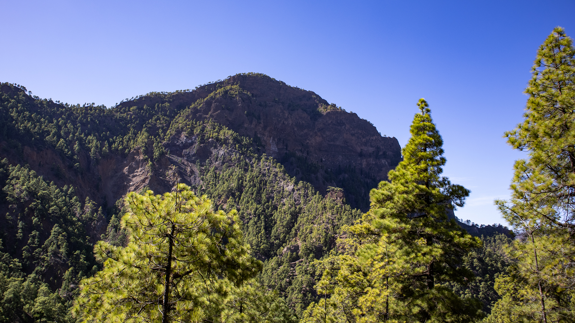
Arrival via the LP-302 from El Paso towards Cumbrecita — book a permit in advance (free, online or at the El Paso Visitor Centre). The starting point is the La Cancelita viewpoint. From there, follow the track to Mirador Lomo de las Chozas, then turn left onto the narrow trail.
The route in detail
Lomo de las Chozas to Barranco Bridges
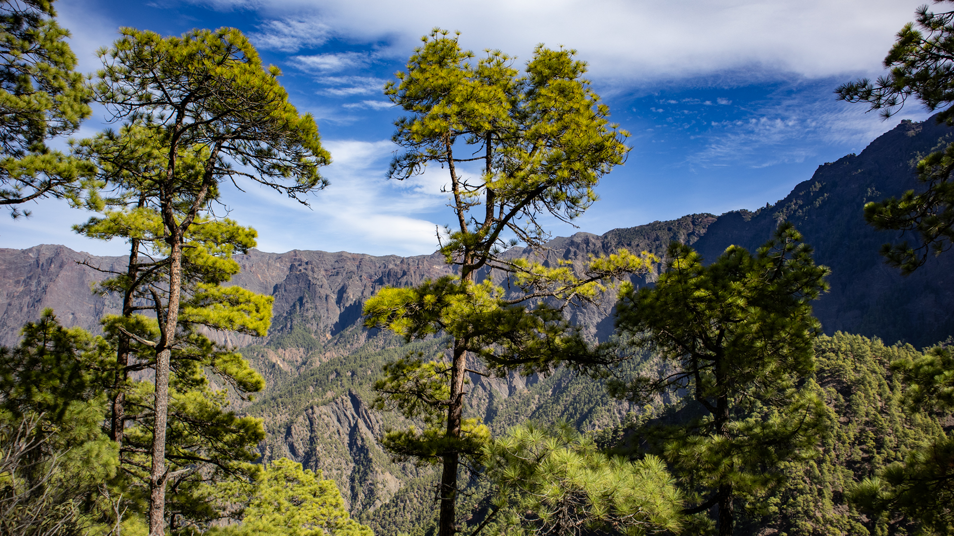
From Mirador Lomo de las Chozas, turn left onto the path at the foot of Pico Bejenado. Two wooden bridges over the Barranco de Madera Garcia and the Barranco de Huanauao. The northern flank of the Bejenado keeps the path shady and moist: heather, laurel, ferns, mosses on every stone. The ravines are active forms of erosion – every winter removes rock.
Roque de la Zarza, Fuente de las Brujas, Morro de los Gatos
View of the Roque de la Zarza – a striking rock formation. Shortly before the destination: signpost with distance information, then the Fuente de las Brujas (Witches’ Spring). Shortly afterwards: the Morro de los Gatos. If you want to take the optional rock section, follow the descent to the steep walls. The main path leads directly to the Mirador Morro de los Gatos picnic spot, with a panoramic view of the north side of the park and Playa de Taburiente.
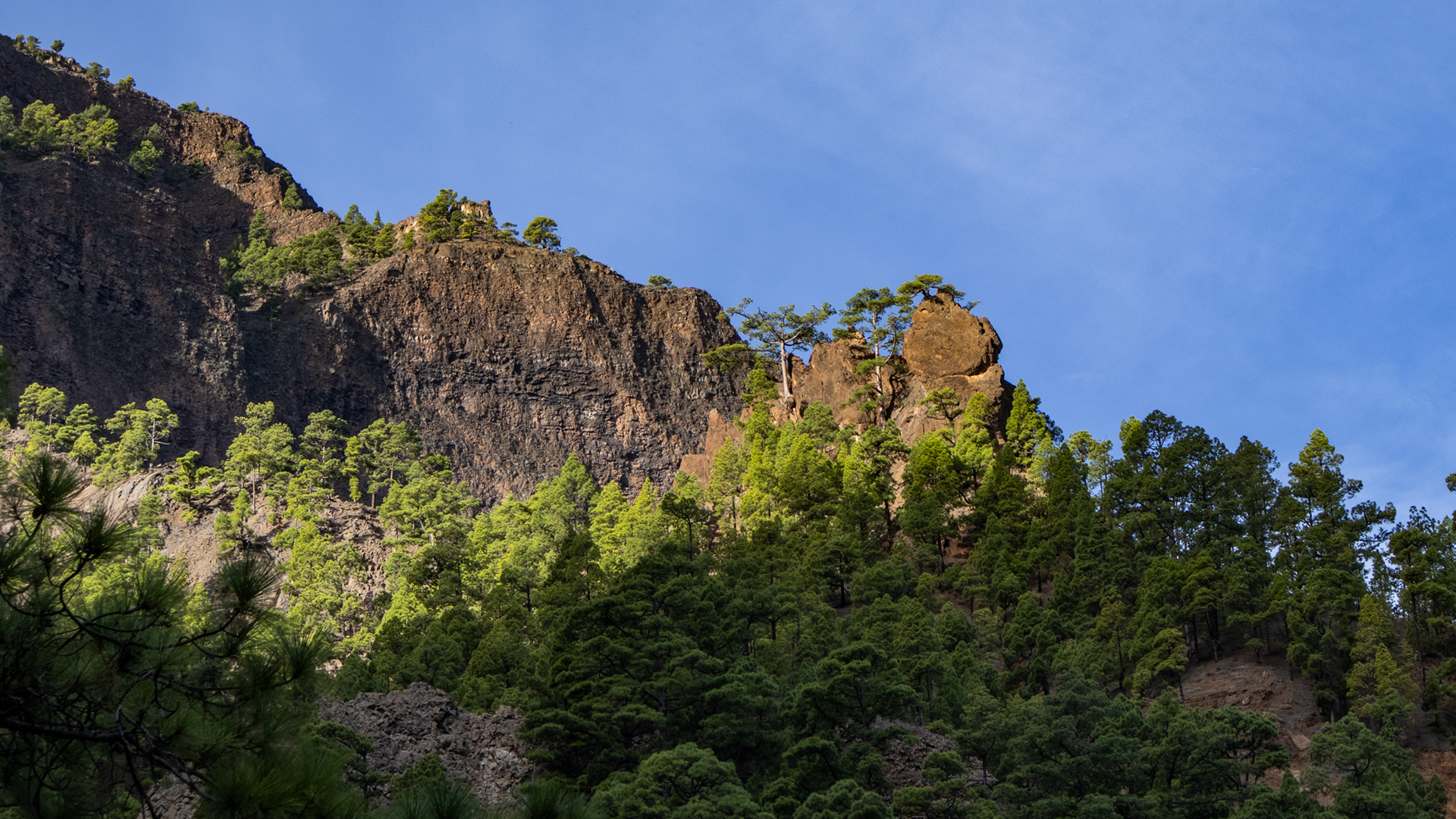
According to Sunhikes, the canyon walls at Morro de los Gatos are at risk of landslides. The trail continuing towards Mirador de la Cancelita becomes a via ferrata on very steep terrain — strictly for experienced alpine hikers.
Geology: active erosion in the caldera
The Caldera de Taburiente is not a volcanic crater, but the result of a huge landslide and millions of years of erosion. The ravines along the way — Barranco de Madera Garcia, Barranco de Huanauao — are active erosion gullies that deepen with each heavy rain. The steep walls at Morro de los Gatos show fresh demolition scars. Here you are literally walking along a changing landscape.
The name Morro de los Gatos (literally ‘Cats’ Snout’) refers to the shape of the rocky outcrop. The Fuente de las Brujas (Witches’ Spring) is a reminder that remote springs in difficult-to-access gorges were once considered supernatural places. Both names are cartographically historical and appear on the official maps of the national park.
Flora on the shady northern slope
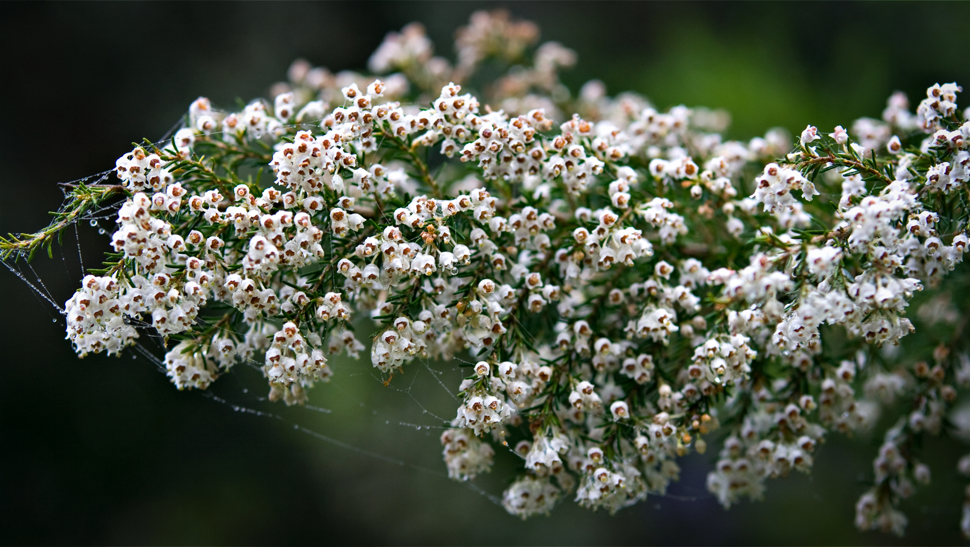
The northern flank of Pico Bejenado is the wettest side of the mountain. Laurel trees (Til, Canary laurel), tree heather and dense fern pads grow here. Mosses cover tree trunks, stones and wooden bridge railings. After rain, this section turns into a tropical-looking backdrop. The contrast to the sunlit car park at Cumbrecita, just a 20-minute walk away, is remarkable.
Best time to visit
| Season | Character | Note |
|---|---|---|
| Spring (March–May) | Springs flowing well, lush vegetation | Optimum conditions; Bridges rich in water |
| Summer (June–August) | Cool in the gorge section | Start early; Book permit early |
| Autumn (Sept-Nov) | Good light, clear visibility | Most popular season |
| Winter (Dec-Feb) | Wet paths, occasionally slippery | Be careful on bridges and exposed ones Figures |
Connecting routes
The Cumbrecita is the starting point for three different levels of difficulty in the national park. Anyone who knows the Morro de los Gatos will find the next logical step with the Bejenado tour:
| Tour | Data | Character |
|---|---|---|
| Circular hike La Cumbrecita | 3 km, 185 m / easy | Classic beginner route at the same car park |
| Hike to Pico Bejenado Cumbrecita | 8.9 km, 753 m / moderate | Summit tour from the same starting point |
| Circular hike Pico Bejenado from Pista de Valencia | 12.3 km, 860 m / moderate | Bejenado loop walk from the opposite side |
GPS track and 3D route planner
The GPS track, elevation profile and waypoints are available for download on the Sunhikes route page. In particular, the junction at Morro de los Gatos — main path vs. optional via ferrata — is clearly marked in the track.
To the route page on Sunhikes: Hike La Cumbrecita – Mirador del Morro de los Gatos
3D route planner from Sunhikes – plan your own route in the national park
Practical Tips
Book
Permit (LP-302, free of charge) in advance. Visitor Centre in El Paso. No mobile phone network from the bridge section. Only attempt the optional via ferrata if you have alpine terrain experience.
Note: National Park
Completely within the Caldera de Taburiente National Park. Road restrictions, garbage collection, fire ban.
Frequently asked questions
What makes Mirador del Morro de los Gatos special?
Is the optional via ferrata section secured?
Why is it called Fuente de las Brujas?
Hiking on the Shady Side of the National Park
An aspect that is rarely mentioned: the Roque de la Zarza, which you can see halfway, is a basalt pillar formation. Similar to the Roque Idafe in the Barranco de las Angustias, it was created by selective erosion: more resistant material remained while the surrounding rock was removed. The name – German Blackberry Rock – refers to the blackberry bushes that grow on its slopes.
The following applies for the way back: Take the same route as on the way there. The gorge bridges are identical in both directions. Anyone who was well oriented on the way there will find the way back without any problems. Recommendation: Allow enough time for a break at Morro de los Gatos. The rest area offers seating and a view that you won’t find again quickly.
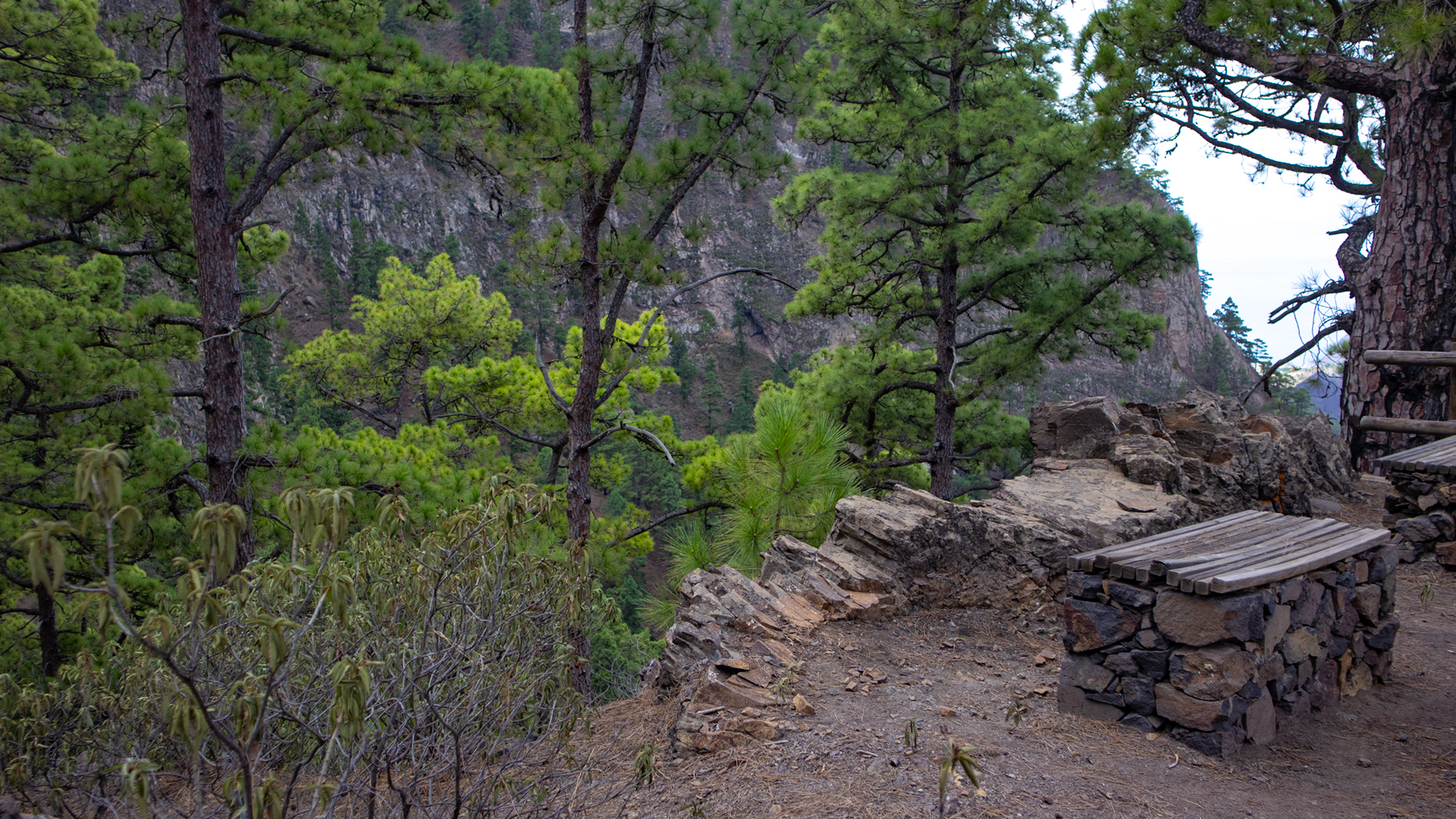
For the return journey: take the same path as the outward route. The gorge bridges are identical in both directions. Plan enough time for a break at Morro de los Gatos — the rest area offers seating and a view that is hard to find again elsewhere.
Getting to La Palma and where to stay
La Palma can be reached by direct flight from Germany, seasonally from several airports. SPC Airport is located in the northeast of the island. It takes about 25 minutes by rental car to El Paso (visitor centre, permit). El Paso is the ideal accommodation base for all Cumbrecita hikes: short journey, national park information centre on site, good connections to the west coast.
Holiday homes in El Paso – many with pools and volcano views – can be booked directly on clariso.eu — Holiday Homes La Palma. El Paso has one of the largest offerings on the island with over 10 Clariso homes available. The location between the national park entrance and the west coast makes the community the logistically best hiking base for the Caldera National Park.
If you are planning the hike: The route is moderately short (7.1 km) and is suitable as an afternoon tour after a journey or after a morning tour of the Cumbrecita. The way back on the same route takes about the same time as the way there. Overall planning: Allow 3 to 3.5 hours of walking time plus breaks at the Mirador del Morro de los Gatos.
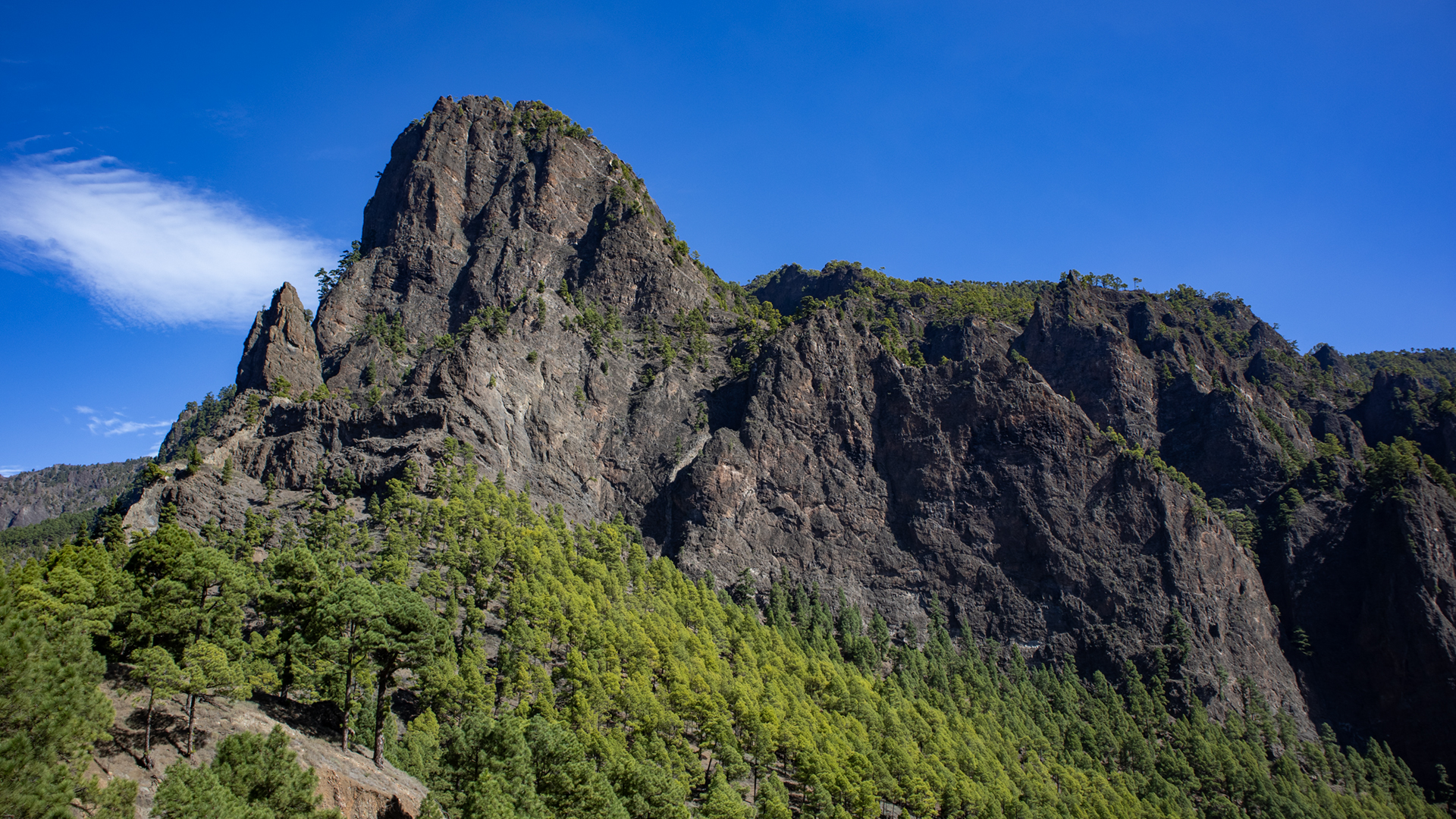
La Cumbrecita – and therefore this hiking trail – is at an altitude of 1,319 meters. This means: pleasant temperatures, no heat, even in summer. In winter it can be cool and damp along the way. Good footwear is crucial: slippery soles on the wet forest paths near the bridges pose a risk of falling. Sturdy hiking boots are by no means excessive here.
Small bonus at the end: If you still have energy after the hike to Morro de los Gatos, you can do the short circular hike La Cumbrecita (3 km, 1 hour) that same afternoon. The route is a different path from the same car park and shows the Cumbrecita from the other side. Combining both tours in one day is easily possible for sure-footed hikers and provides the most complete picture of the Cumbrecita zone.
This article is based on the on-site knowledge of the Gequo editorial team – publisher of the Reisezeit hiking guides and operator of Sunhikes.com. As of: May 2026


