
Camino de Gordian: from the Ermita de la Virgen del Pino to the Cumbrecita
The Camino de Gordian is the hiking alternative to La Cumbrecita that doesn’t require a permit: 7 km, 568 m ascent, 177 m descent, moderate, 2:30–3:15 hours. The route follows the PR LP 1 through sparse pine forest on the edge of the Riachuelo Valley, past galerías carved into the rock and striking barrancos, to the Cumbrecita with its spectacular caldera panorama.
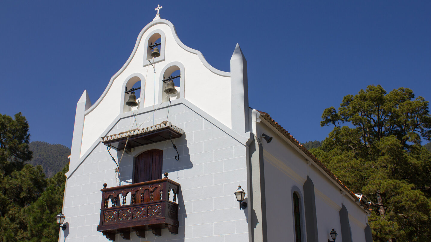
Starting point: Ermita de la Virgen del Pino. It sits on the access road to La Cumbrecita (LP-302), about 1 km past the El Paso Visitor Centre, taking the first turn-off on the right. If you park here and climb up, you don’t need a Cumbrecita permit – as you are arriving on foot rather than by car.
Route facts at a glance
| Trail Type | One-way (Ermita → Cumbrecita) |
|---|---|
| Distance | 7.0 km |
| Ascent/Descent | 568 m ascent / 177 m descent |
| Highest Point | 1,324 m (La Cumbrecita) |
| Lowest Point | 912 m (Ermita de la Virgen del Pino) |
| Duration | 2:30–3:15 hours |
| Grade | moderate |
| Starting Point | Ermita de la Virgen del Pino — LP-302, first turn-off from Centro de Visitantes El Paso |
| Trail Marking | PR-LP 1 (yellow-white), Camino de Gordian |
| Permit | No permit required for hikers |
| Equipment | Water, sturdy footwear, sun protection |
The route in detail
Ermita to Galería Unica
The wide hiking trail PR LP 1 with its white and yellow markings leads gently uphill through sparse pine forest. After about thirty minutes: signpost, turn left, then straight ahead towards La Cumbrecita. The trail continues gently undulating along the mountain flank. After a rocky section: an old well tunnel near a small saddle. Then the forest path narrows into a hiking trail – passing Galería Unica, a water tunnel carved straight into the rock face.
Galería Unica to viewpoints and Cumbrecita
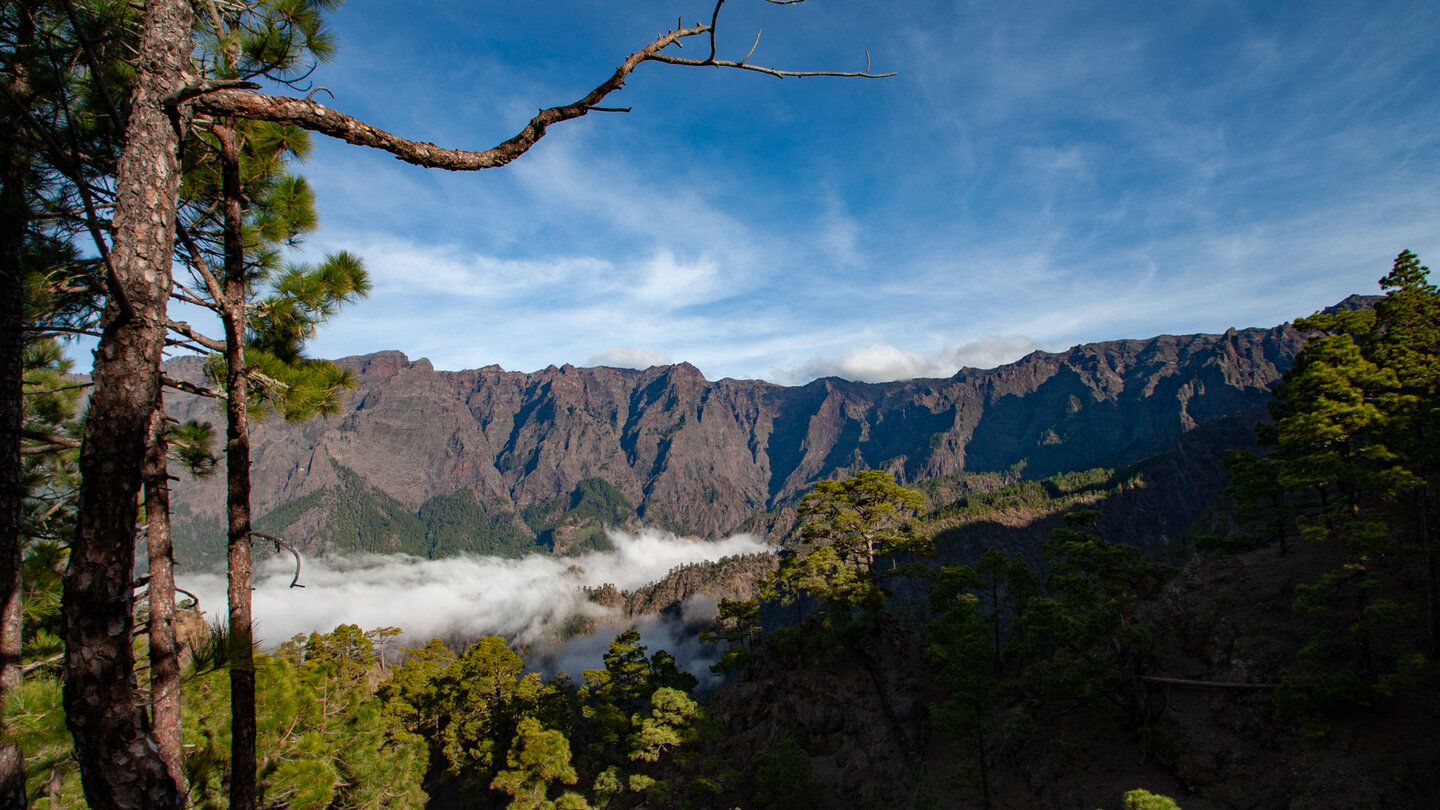
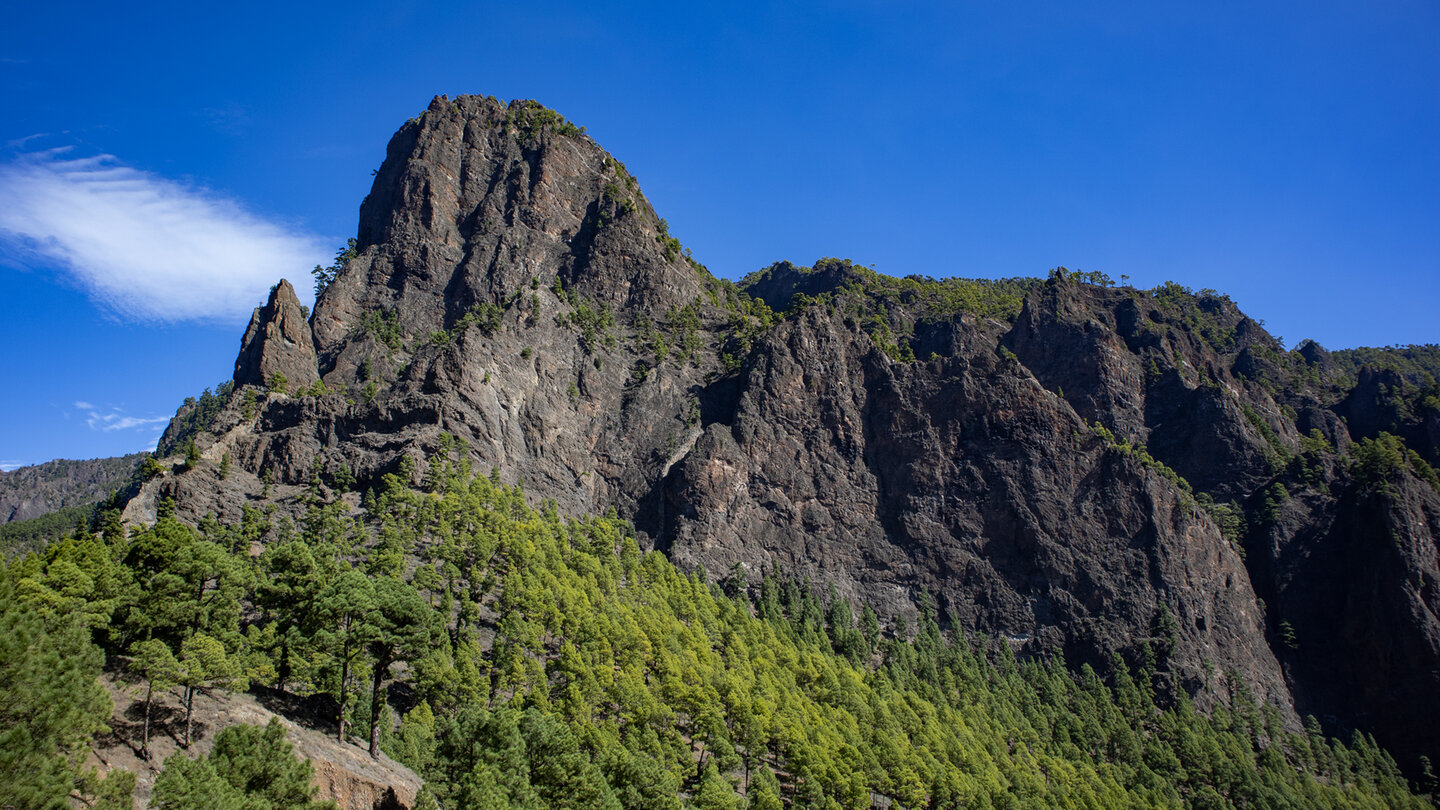
The trail winds uphill via switchbacks onto the mountain ridge. Opening up your first expansive view across the Riachuelo Valley. The path along the cliffs of the Cumbre Nueva to the Galería de Tabercorade. After a steep passage: Cumbrecita, Pico Bejenado, Roques de la Cumbrecita and parts of the Caldera de Taburiente in full view. You stop, catch your breath, and take it all in. The way back on foot or conveniently by taxi.
Permit-free ascent to Cumbrecita
If you want to drive to Cumbrecita by car, you need a free permit. If you climb up on foot, you don’t need one. The Camino de Gordian is therefore the ideal alternative for anyone who wants to visit the Cumbrecita spontaneously without having to book a time slot in advance. The 2.5 to 3-hour climb is well worth the effort for the complete flexibility it offers.
A tried-and-tested plan: Hike up the Camino de Gordian (2:30-3:15 h), take the Cumbrecita circuit (1:00-1:30 h) at the top, then take a taxi back to the Ermita (approx. 10 EUR). This is a complete, logistically easy national park day with hassle-free with no permits required.
The Galerías: historical water tunnels
The Camino de Gordian passes several galerías – water tunnels carved through the rock that collect the groundwater from the caldera rim and drain it into canals. The Galería Unica is the most striking of these: a single, long tunnel that collects the water from an entire mountainside. This infrastructure is typical of La Palma and makes the island one of the most water-rich in the Canary Islands despite its mountainous topography.
The Riachuelo Valley
The Riachuelo Valley lies east of the Caldera de Taburiente and is the largest valley on the eastern side of La Palma. The view from the first viewpoint on the Camino de Gordian into the Riachuelo Valley is one of the route’s lesser-known highlights: a green, deep valley with pine forest, terraced farmland and the distant Atlantic on the horizon.
Best travel time
| Season | Character | Note |
|---|---|---|
| Spring (March-May) | Lush pine forests; clear views at La Cumbrecita | Optimal conditions |
| Summer (June–Aug) | Pine forest provides shade; pleasant | Warmer in the lower sections during the afternoon |
| Autumn (Sept–Nov) | Best visibility; Quieter trails in the national park | Most popular season |
| Winter (Dec-Feb) | Occasional fog at La Cumbrecita | Hike remains rewarding |
Accommodation: El Paso — Clariso
Starting point near El Paso. Holiday homes on clariso.eu — Holiday homes El Paso.
Combinable tours
| Tour | Data | Character |
|---|---|---|
| Circular hike La Cumbrecita | 3 km, easy | Natural continuation above |
| Pico Bejenado from Cumbrecita | 8.9 km, moderate | Summit climb from Cumbrecita |
| Los Brecitos → Playa de Taburiente | 5.2 km, moderate | Other national park route from El Paso |
GPS track and 3D route planner
To the route page on Sunhikes: Camino de Gordian Ermita → Cumbrecita
3D route planner from Sunhikes
Why Camino de Gordian?
The name Camino de Gordian is named after a historic guide or local landowner of this region – one of the many anonymous stories hidden in Canarian route names. The path itself is significant: it was one of the routes through which shepherds and farmers reached the middle elevations of the caldera rim without the official saddle access of the Cumbrecita. Today it is a well-marked PR-LP 1.
The Galerías along the way – especially the Galería Unica – are a chapter in themselves: These water tunnels carved through the rock are the backbone of the La Palma water management. On an island without major rivers, groundwater that emerges from caldera rock is the only reliable source of water. The galleries collect this water and direct it into canals to the fields. La Palma has over 1,000 such galleries – more per square kilometer than any other place on earth.
The Camino de Gordian is worthwhile even without the Cumbrecita as a destination: the Galerías and Barrancos along the way are an experience in themselves. Anyone who turns back before reaching the Cumbrecita – for example at the Galería Unica or at the first large viewpoint in the Riachuelo Valley – has still completed a full half-day tour. The route can easily be tailored to your fitness level and time and time.
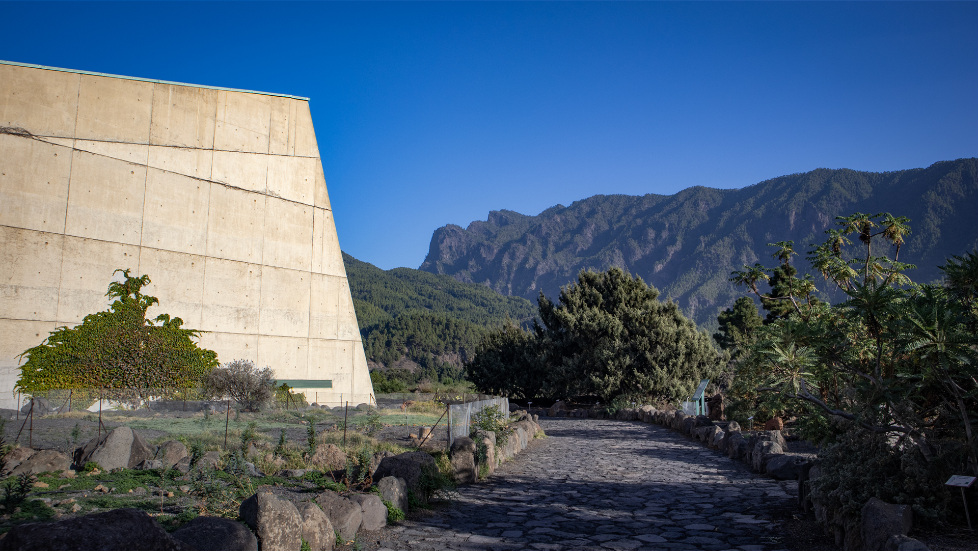
The National Park Information Centre in El Paso is the logical starting point for any visit to the Cumbrecita region. Not just because of the permit (for car access), but because of the exhibition: geological models of the caldera, maps of all hiking trails, exhibitions about flora and fauna. After the visit you see the Camino de Gordian with different eyes – you know which landscape you are entering.
The Hermitage of the Virgen del Pino
The Ermita de la Virgen del Pino at the starting point of the route is a small pilgrimage chapel dedicated to the sacred pine tree: an old, huge pine tree that was considered particularly worthy of reverence. La Palma has several of these sacred tree chapels – a tradition that combines the Benahorita nature worship with the Christian cult of the colonial era. The chapel is simple, but the surrounding pine forest and the atmosphere of the forest entrance make it an atmospheric starting point.
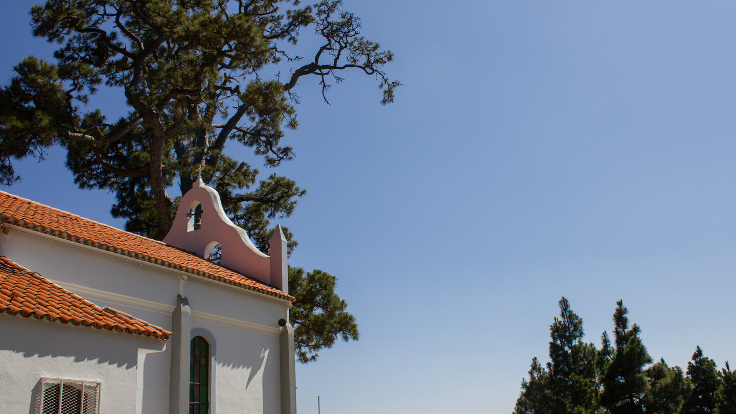
If you choose the Ermita as your starting point, you can park on the small gravel area right outside. The access from the LP-302: El Paso Visitor Centre towards Cumbrecita, first exit on the right, follow the sign Ermita de la Virgen del Pino. The route to Cumbrecita is well signposted from here. If you use a shuttle bus, the Ermita is also a stop on the route.
Return: Taxi or your own feet?
From the destination La Cumbrecita back to the Ermita de la Virgen del Pino you have two options: return on the same route (177 m descent, approx. 1:30 h – easier than the ascent) or taxi (approx. 10 EUR, 15 min.). Taking a taxi back is not only more comfortable, but it also makes great logistical sense: Cumbrecita loop at the top, then taxi downhill, afternoon free for a second tour or relaxation. The Camino de Gordian as an ascent + Cumbrecita loop + taxi downhill = a complete national park day without permit stress.
Anyone who walks the Camino de Gordian for the first time will be surprised at how much of La Palma this climb shows: pine forest, Galería infrastructure, Riachuelo Valley, Cumbre Nueva rock faces, caldera panorama – this is the geological and botanical diversity of La Palma packed into a single hike. The path is not a popular tourist route, but a real hiking trail with real character.
Anyone who has walked the Camino de Gordian will look differently next time at the LP-302 – the access road to Cumbrecita. You see the Galerías and Barrancos from the street with different eyes when you get to know them on foot. That’s the added value of a hike: the landscape doesn’t change, but your own perception of it does.
This article is based on the on-the-ground knowledge of the Gequo editorial team – publishers of the Reisezeit hiking guides and operators of Sunhikes.com. Last updated: May 2026


