
Hike Los Brecitos to Playa de Taburiente in the National Park
Playa de Taburiente is the heart of the Caldera de Taburiente National Park – a wide gravel and stone bed of the Taburiente River, which flows year-round. The shortest route there is downhill from Los Brecitos: 5.2 km, 204-metre descent, moderate, taking approx. 1:30–2:00 hrs. The return route is identical (with a 204-metre ascent).
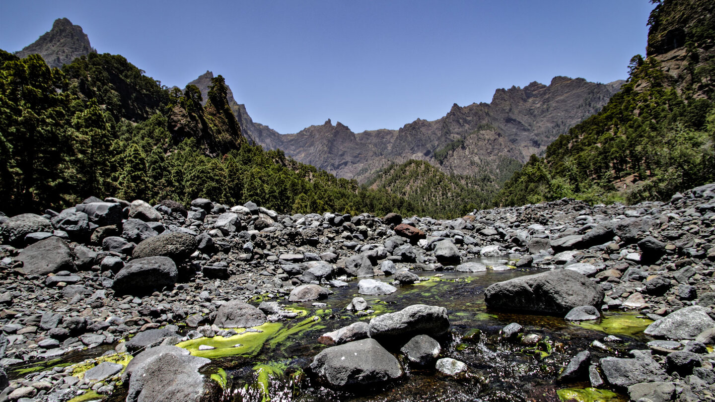
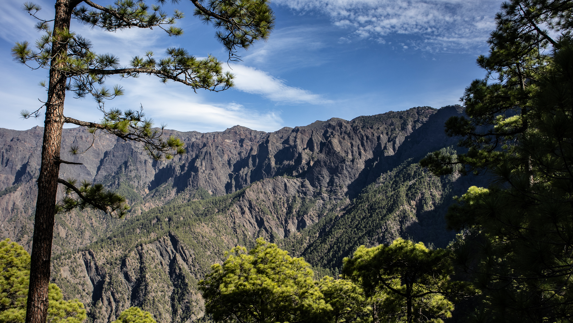
Los Brecitos is at an altitude of 1,080 m. The Mirador de los Brecitos viewpoint offers a first view of the caldera right from the start. The PR-LP 13 hiking trail leads downhill on well-marked paths through pine forest to the campsite and on to the playa. If Playa de Taburiente is your main destination for the day, choose this short route as an out-and-back trail.
Route facts at a glance
| Route type | Out and back (Los Brecitos → Playa de Taburiente → back) |
|---|---|
| Distance | 5.2 km (one way) |
| Elevation | 204 m descent (downhill) / 204 m ascent (return leg) |
| Highest point | 1,080 m (Los Brecitos) |
| Lowest point | approx. 750 m (Playa de Taburiente, valley floor) |
| Duration | 1:30–2:00 h (downhill) / 2:00–2:30 h (return leg) |
| Difficulty | moderate (well-marked, easy to follow) |
| Starting point | Mirador de los Brecitos, 1,080 m — only by taxi shuttle or permit |
| Trail marking | PR-LP 13 (yellow-white) |
| Protected area | Caldera de Taburiente National Park (since 1954) |
| Equipment | water, sturdy footwear, sun protection, rain protection |
Getting there: Taxi shuttle or permit
Los Brecitos at 1,080 m is not freely accessible by car. The only option without a special permit is the taxi shuttle service, which leaves from the car park in Barranco de las Angustias (access from Los Llanos via LP-214) — approx. 15 EUR per person one-way. Alternative: the long version of the Brecitos tour (13.9 km, difficult) also starts at the Mirador de los Brecitos and ends at the Barranco de las Angustias – shuttle once for this direction, return on foot.
The route in detail
Mirador de los Brecitos to campsite
From Mirador de los Brecitos follow the PR-LP 13 (yellow-white) downhill. The path is well signposted and winds through pine forest. First views of the steep walls of the caldera. The Caldera de Taburiente campsite is about 2.5 km away – a rest point with sanitary facilities in the middle of the national park.
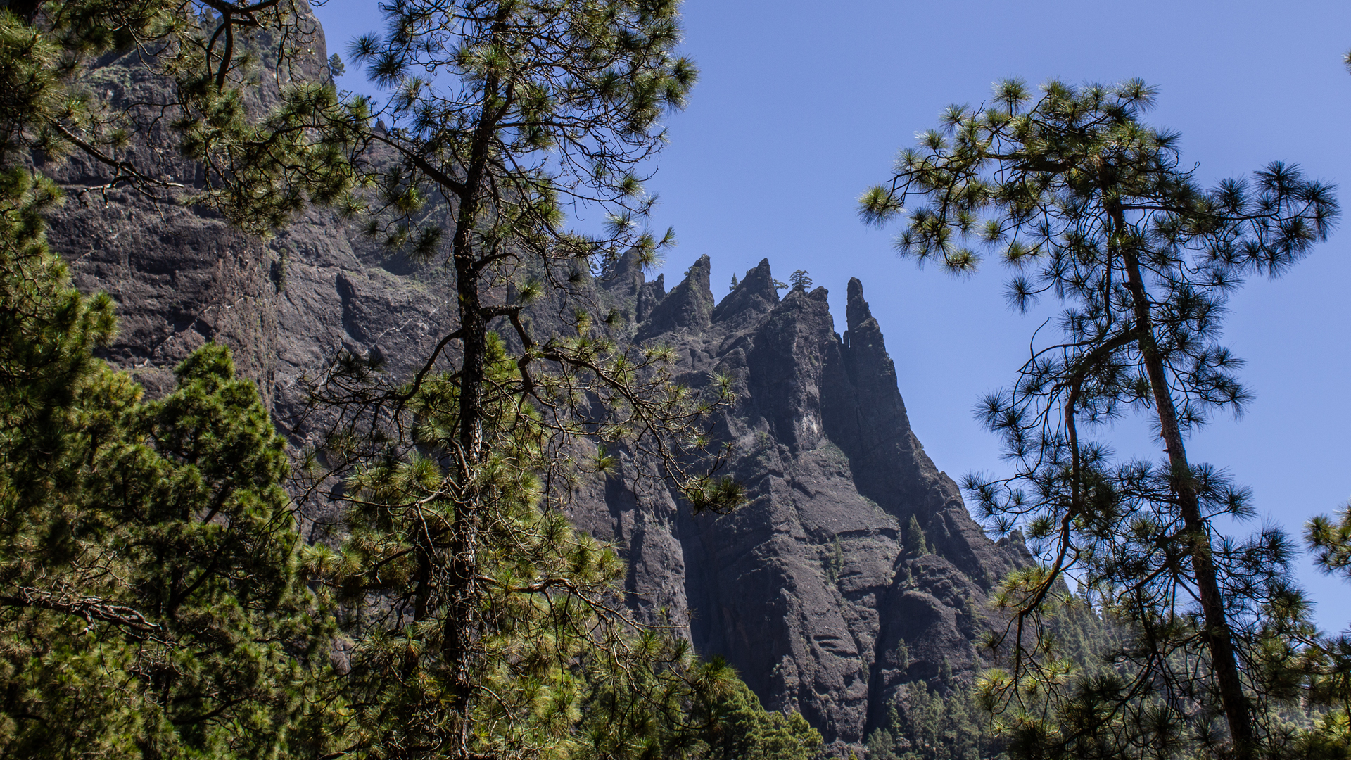
Campsite and Playa de Taburiente
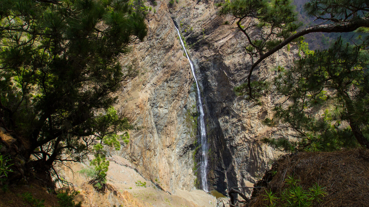
From the campsite another 2.7 km downhill to Playa de Taburiente. The path leads increasingly into the gorge. The Rio de Taburiente becomes visible and audible. On the playa: the wide gravel and stone bed of the mountain stream, surrounded by the 700-800 m high steep walls of the caldera. Canary willow trees grow in the riparian woodland along the banks. The stream invites you to refresh yourself. Panorama: vertical rock faces, the Roque Huso in the north, the sky as a narrow strip above.
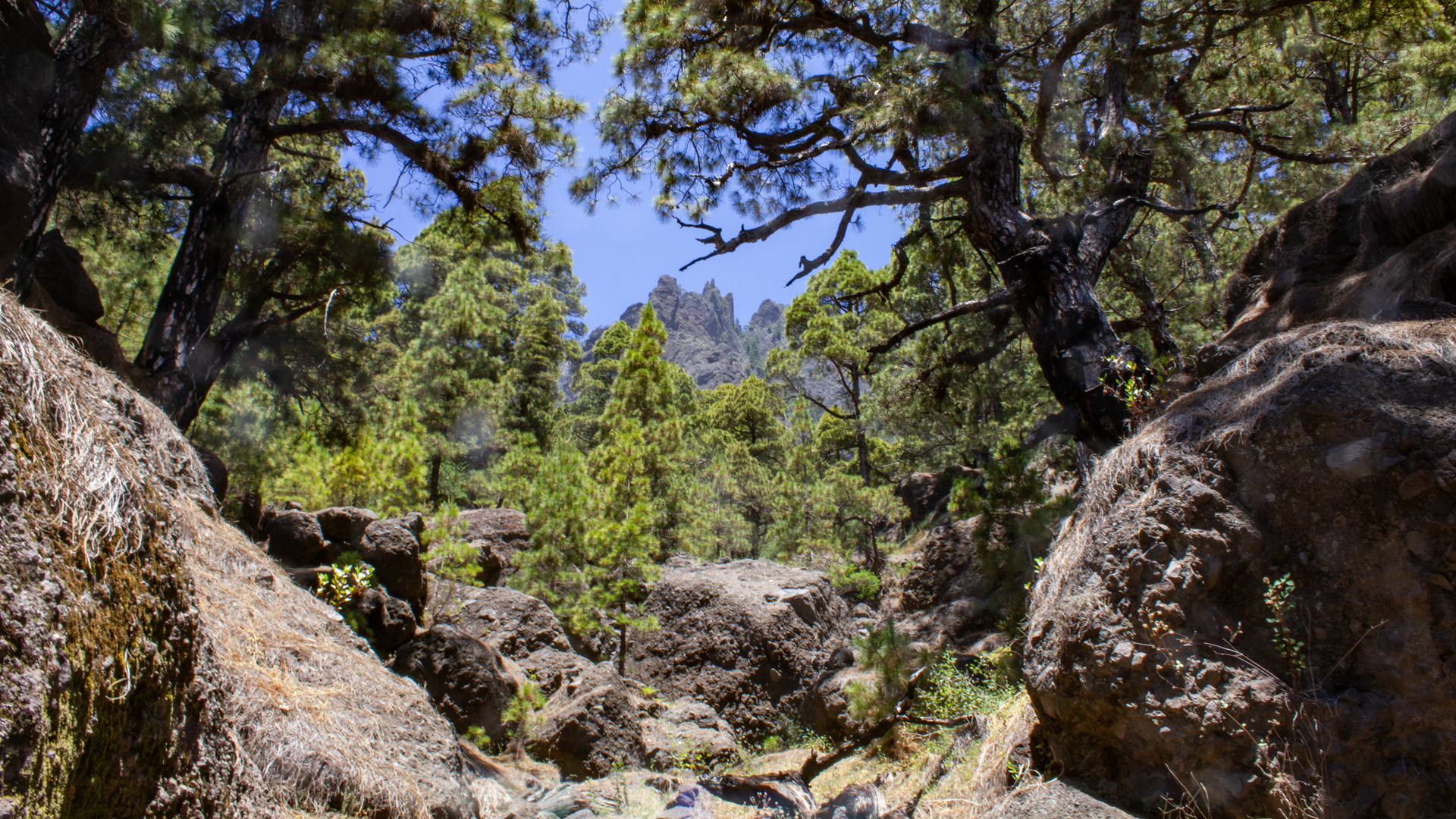
The Playa de Taburiente
Playa de Taburiente is not a beach in the tourist sense – no sea, no sand. It is the gravel and stone bed of the Rio de Taburiente in the heart of the caldera, at approximately 870 m altitude, surrounded by the vertical walls of the national park. In local Canarian usage, the term ‘playa’ refers to the wide, flat riverbed. The Rio de Taburiente carries water here all year round – clear, cold, straight from the high mountains.
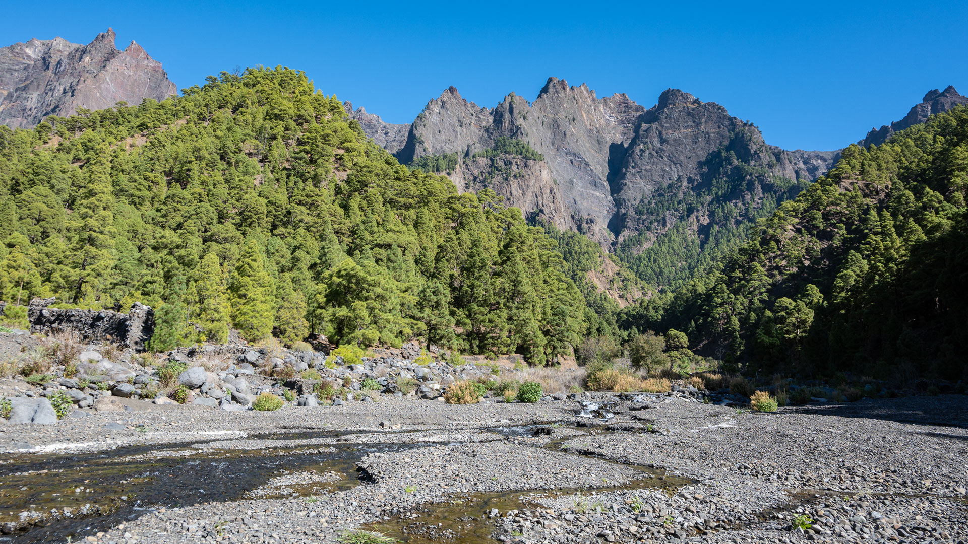
The only campsite inside the caldera is located at Playa de Taburiente. Camping in the national park requires a free reservation, which must be booked online in advance. Day tourists can visit the Playa without an overnight permit. The campsite has sanitary facilities and is the starting point for further hikes deep into the caldera (Cascada de la Fondada, Hoyo Verde).
Permit requirement in the Caldera de Taburiente National Park
The Caldera de Taburiente National Park has a visitor access regulation that requires different permits in stages: Access via Los Brecitos (taxi shuttle) is free for day hikers, but a permit is required for self-arrival by vehicle. A separate reservation is required to stay overnight at the campsite. You need another permit to climb to the Cascada de la Fondada and the Hoyo Verde. All permits are free and can be booked online at the national park.
Note: La Cumbrecita, the other main entrance to the national park, has its own permit requirement for entry by car. If you want to hike from La Cumbrecita, book the La Cumbrecita permit separately. The permits for Los Brecitos (taxi shuttle) and La Cumbrecita are different.
From the campsite further into the caldera
If you want to go further from Playa de Taburiente, you have several options: Cascada de la Fondada and Hoyo Verde (approx. 5.6 km extra, 633 m altitude – only with permit and good fitness, early start). Or: the big tour from Los Brecitos through the entire caldera to the Barranco de las Angustias (13.9 km, 1,156 m descent, PR-LP 13 through the caldera in this series). The small route Los Brecitos – Playa is the entry-level option for hikers who want to get to know the Caldera without the full strain of the long tour.
Best travel time
| Season | Character | Note |
|---|---|---|
| Spring (March–May) | Stream carries a lot of water; Vegetation green | Best time – Caldera fresh |
| Summer (June–August) | Stream level drops; Caldera hot | Early start mandatory; lots of water |
| Autumn (Sept–Nov) | Good light; Stream moderate | Most popular season |
| Winter (Dec–Feb) | If it rains: risk of flooding! | Weather check obligatory; National park closes |
Combinable tours
| Tour | Data | Character |
|---|---|---|
| Los Brecitos → Caldera de Taburiente (full tour) | 13.9 km, difficult | The complete hike |
| Hike Barranco de las Angustias → Cascada de Colores | 11 km, moderate | Alternative from the other direction |
| Circular hike La Cumbrecita | 3 km, easy | Easy addition from La Cumbrecita |
GPS track and 3D route planner
The PR-LP 13 is well marked. GPS track shows the campsite junction and the route to the playa. With the free 3D route planner you can extend the route to the full Caldera hike – directly in the browser, without an app.
To the route page on Sunhikes: Los Brecitos to Playa de Taburiente
3D route planner from Sunhikes – customize and combine routes
Practical Tips
Emergency call 112. Book taxi shuttle in advance (no fixed timetable). The national park closes when it rains or floods. Overnight permit: book for free on the national park website. Camping only at the official campsite.
Note: National Park
Caldera de Taburiente National Park (since 1954). Road restrictions, garbage collection, fire ban, permit requirement for overnight stays.
Frequently asked questions
Do I need a permit for this tour?
What is Playa de Taburiente?
Roque Idafe: the sacred rock of Benahoritas
The Roque Idafe is omnipresent on the Los Brecitos tour: vertical monolith, 60 m high, rising out of the caldera. For the Benahoritas, the indigenous people of La Palma, it was sacred – they believed that it supported the sky. When threatened, they made sacrifices to Idafe at the rock to prevent his fall. This worldview – the rock as a cosmic pillar – shows how closely the Benahoritas were connected to the volcanic landscape of the caldera that served as their home.
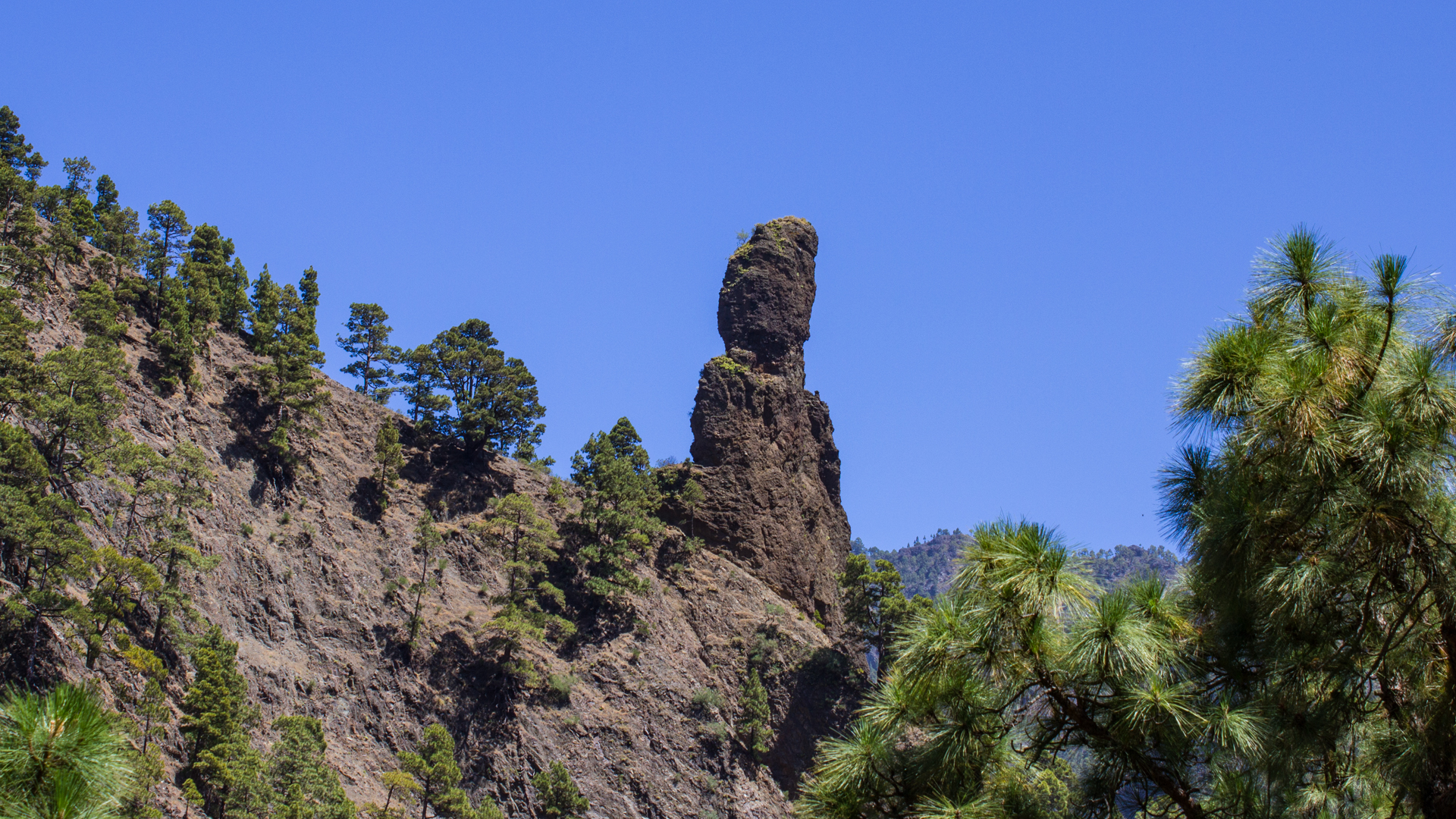
The Roque Idafe is visible several times from the hiking trail of the Los Brecitos Playa tour: once from the Mirador del Lomo de Tagasaste on the long Caldera tour, and on the descent to Playa on the shorter version. Its silhouette — the towering finger — is memorable.
The campsite as the base camp of the Caldera
The Caldera de Taburiente campsite is the only official place to stay overnight inside the national park. It is located between Los Brecitos and Playa de Taburiente at an altitude of approx. 960 m, embedded in pine forest. The sanitary facilities are simple but available. Anyone who spends the night here wakes up in the national park: bird calls, the sound of the mountain stream, the coolness of the caldera at night.
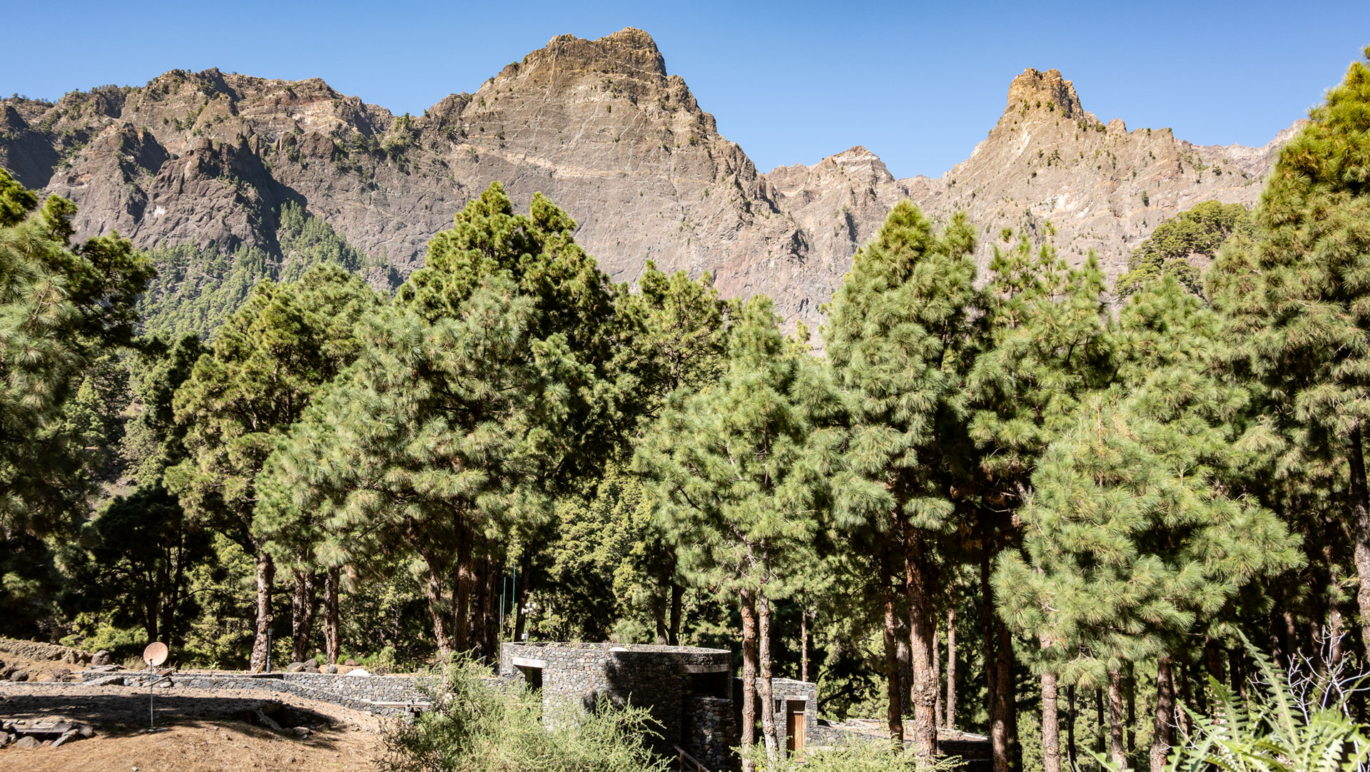
Playa de Taburiente can be reached from the campsite in about 5 minutes – ideal for early risers who want to experience the playa in the morning light before the day hikers arrive. The morning light in the caldera is a famous photo opportunity: the steep walls glow in warm red, the stream shimmers, the fog still lies deep.
Safety warning: risk of flooding
The Barranco de las Angustias and the Rio de Taburiente can turn into raging rivers within minutes during heavy rainfall. In the event of flood warnings, the national park immediately closes all hiking trails in the caldera. The weather forecast for the Caldera de Taburiente differs significantly from the coastal climate: rain, which is barely noticeable in El Paso, can lead to life-threatening flooding in the caldera. Before each visit: check the weather and national park status.
This article is based on the on-the-ground knowledge of the Gequo editorial team – publishers of the Reisezeit hiking guides and operators of Sunhikes.com. Last updated: May 2026


