
Hike Pico de la Cruz – Roque de los Muchachos – Espigón del Roque
This hike leads along the peak chain of the Caldera de Taburiente National Park from Pico de la Cruz (2,351 m) to Roque de los Muchachos (2,426 m) – the highest point in La Palma – and on to the Espigón del Roque viewpoint. 10.1 km, 598 m, moderate, there and back.
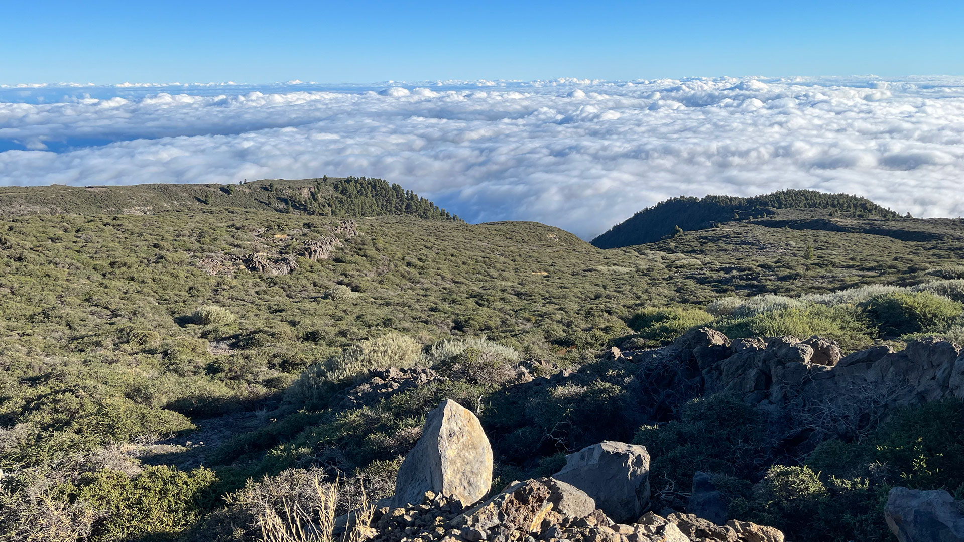
The path runs at a high level: you hike almost the entire route at an altitude of 2,200 meters. Highlights on the way: Lapilli fields in red and orange, the impressive basalt wall La Pared de Roberto with the V-passage, the viewpoint Mirador de los Andenes and the telescope domes of the Astrophysical Observatory.
Starting point: LP-4 between km 31 and 32 at a hiking sign. A few lay-bys along the street. Very busy route according to Sunhikes.
Route facts at a glance
| Route type | Out and back |
|---|---|
| Distance | 10.1 km |
| Altitude | 598 m ascent / 601 m descent |
| Highest point | 2,414 m (Roque de los Muchachos: 2,426 m) |
| Lowest point | 2,252 m |
| Duration | 4:15-5:00 hours |
| Difficulty | moderate (no exposed drop-offs, sure-footed, easy to follow) |
| Starting point | LP-4 between km 31 and 32 on hiking board; few lay-bys |
| Path markings | PR-LP 6+7 (yellow-white) + GR-131 (red-white) |
| Protection status | Caldera de Taburiente National Park |
| Equipment | Water, packed lunch / supplies, sun protection, wind protection, sturdy shoes, rain protection |
Directions
Starting point is LP-4 between km 31 and 32. From the road, the hiking trails LP-6 and LP-7 (yellow-white) lead to the GR-131. Few lay-bys along the street – arrive early.
The route in detail
LP-4 to Mirador de los Andenes (km 0-1.5)
From the LP-4 onto the Caldera high-altitude hiking trail GR-131 (red-white) – turn right towards Roque de los Muchachos. First through low bushes parallel to the road. After 1.5 km: Mirador de los Andenes directly on the LP-4. From here a narrow path branches off to the caldera side of the ridge. These first views are already impressive – to the right in the northeast there is often a sea of clouds under the hiking trail, the GR-131 runs above it.
Lapilli area and La Pared de Roberto
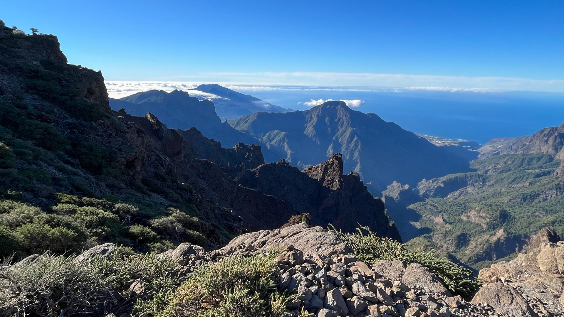
The path winds over a red-colored lapilli surface – ejection from explosive volcanic eruptions. Then: a short climb to the impressive La Pared de Roberto, a vertical basalt wall. It is passed through a V-shaped opening. Behind: sharp right turn, view over basalt formations and steep caldera walls.
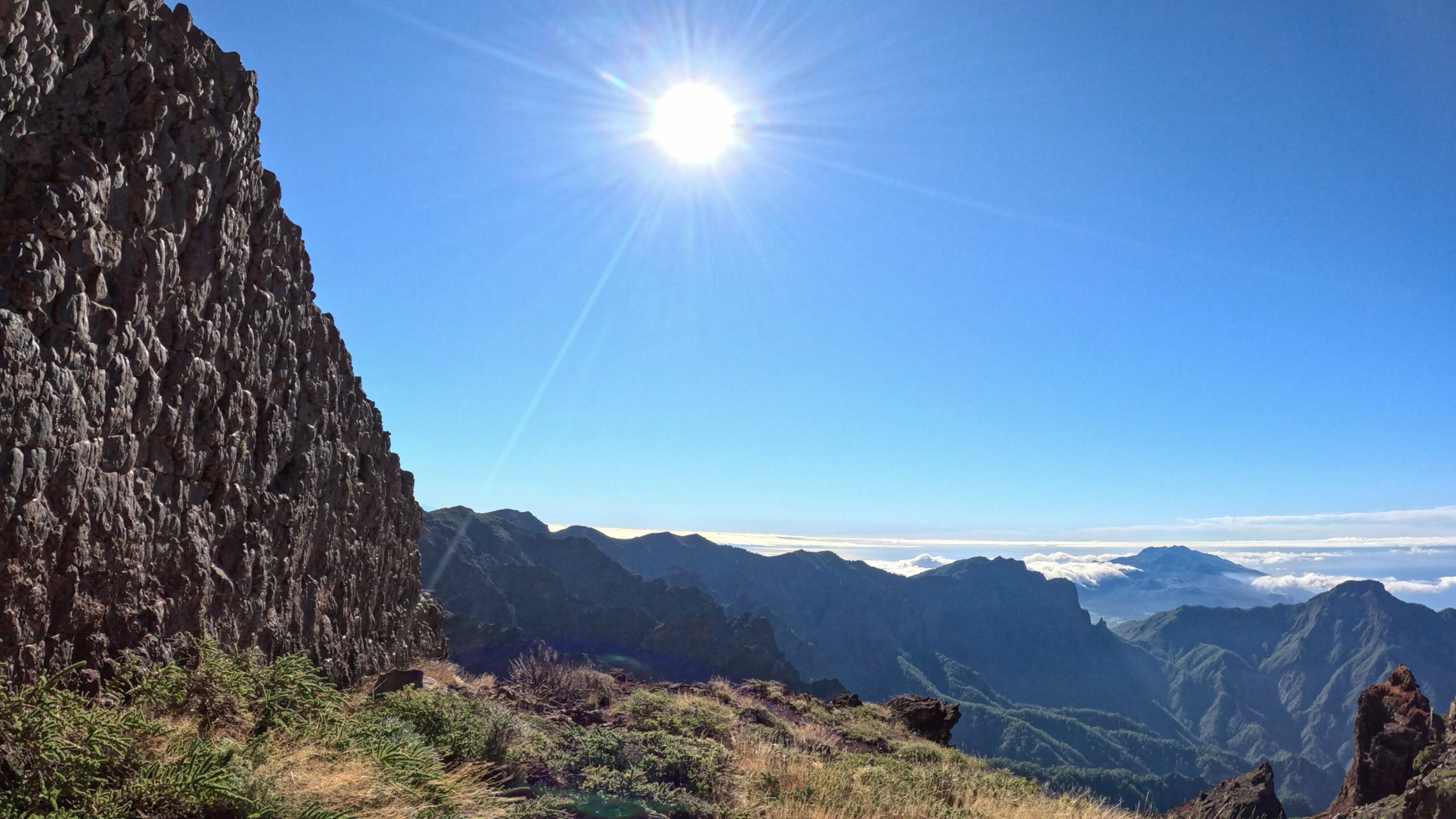
La Pared de Roberto is a dyke – a solidified magma dike that protrudes vertically from the terrain because it is harder than the surrounding rock. The name refers to the legend of La Pared de Roberto, in which “Roberto” was a local euphemism for the devil.
Pico de Fuente Nueva and Observatory
The high-altitude hiking trail runs constantly up and down along the summit chain. A second viewing point Mirador de los Andenes (above the path) is worth a short detour. Continue uphill to the Pico de Fuente Nueva (2,366 m) with two brick summit pillars. Directly behind it: the Isaac Newton Telescope and the Jacobus Kapteyn Telescope of the Astrophysical Observatory. The observatory road is briefly passed.
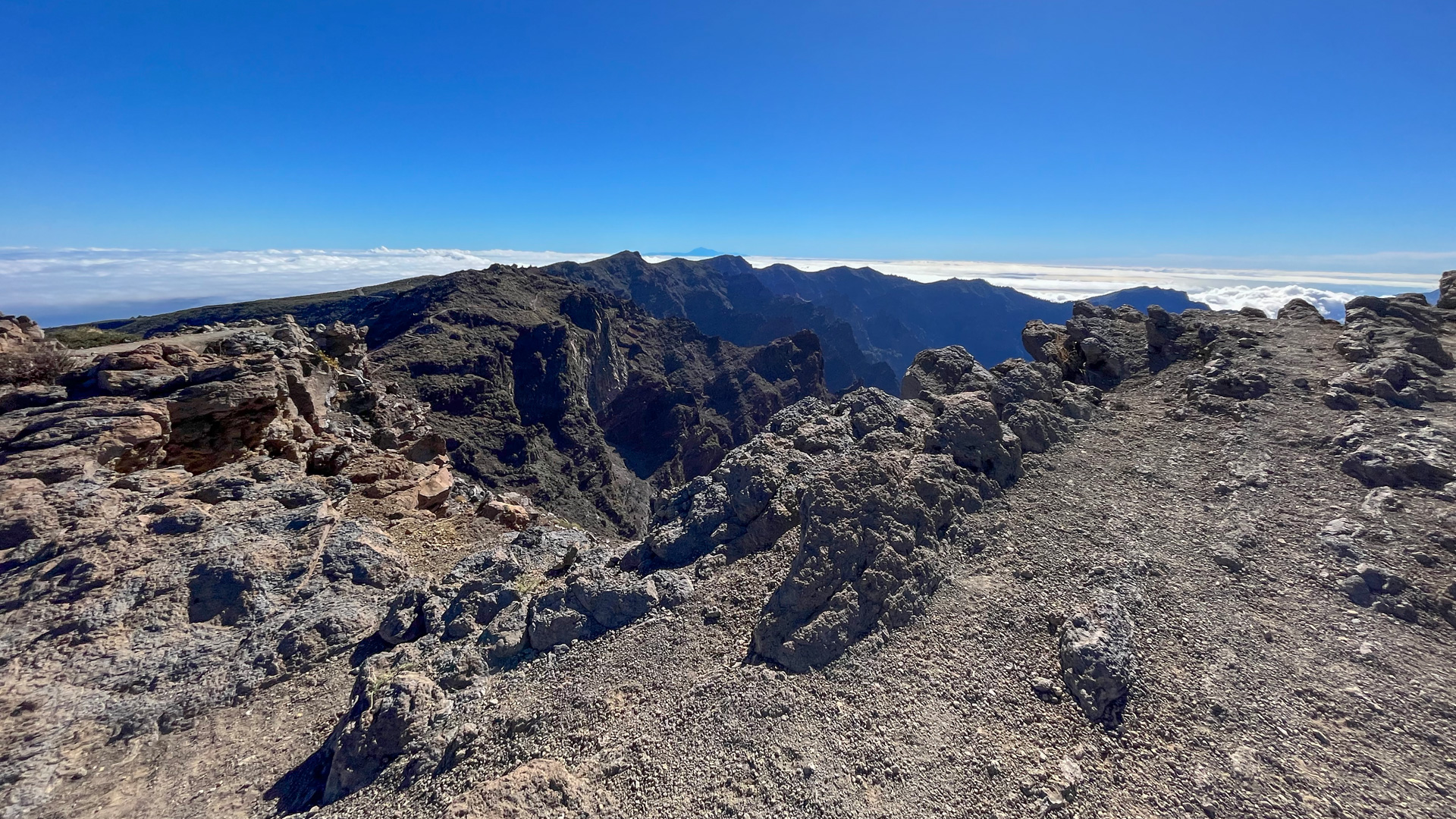
Last climb to the Roque de los Muchachos and Espigón
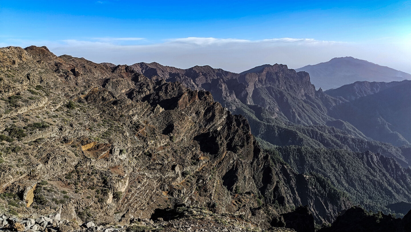
After a short descent, the final ascent begins to the Roque de los Muchachos (2,426 m): the highest mountain in La Palma. The path winds through gorse plants on the mountain side. Along: red glowing steep walls of the caldera. At the Roque car park: a paved path around the rock formations at the summit.
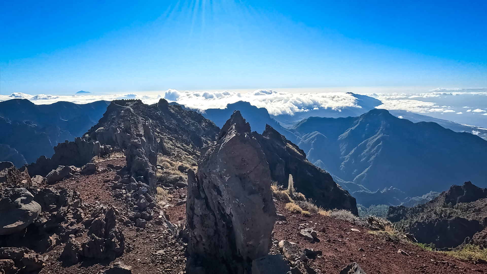
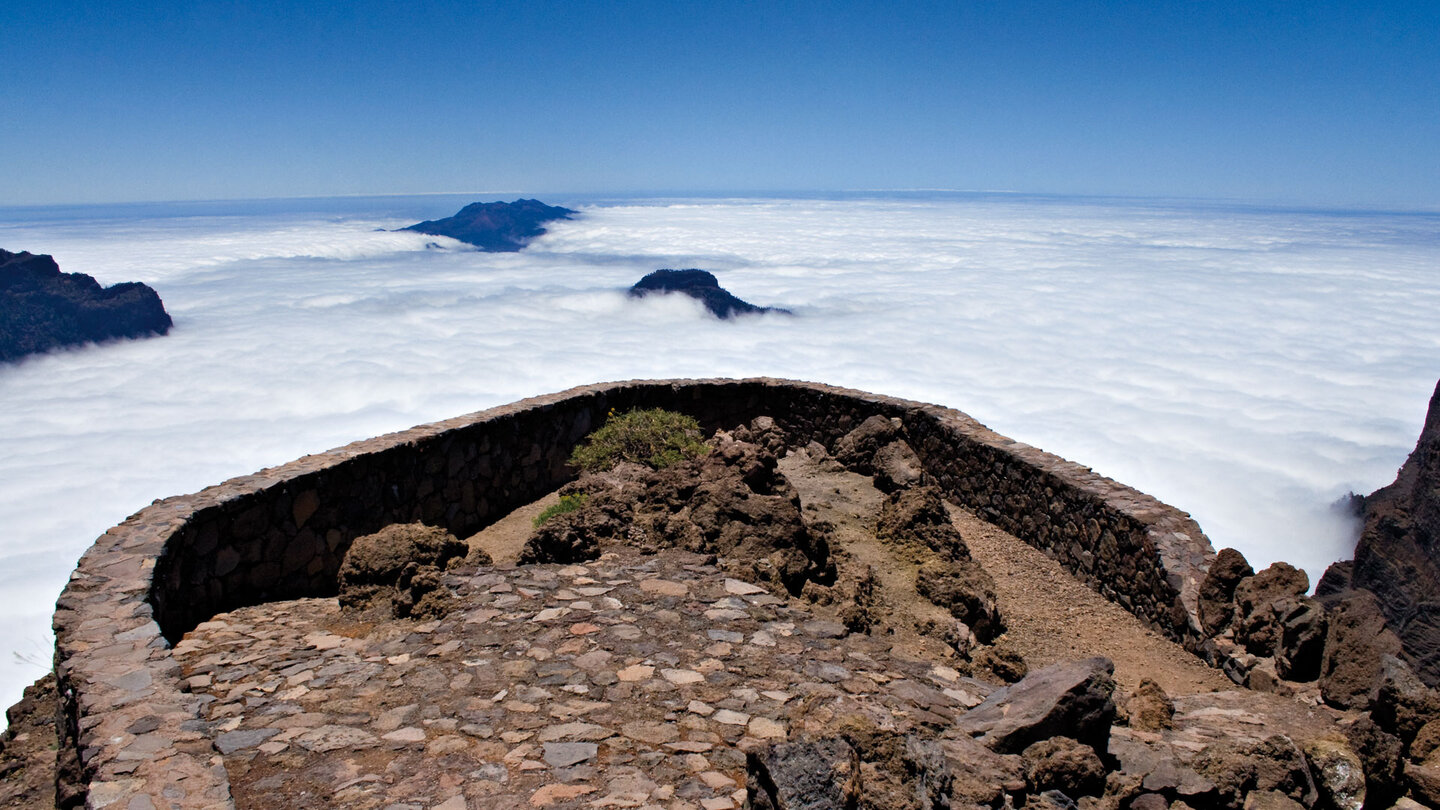
From the summit continue to Espigón del Roque: along a mountain ridge to a viewing platform, downhill over three hairpin bends, then up to the fortified viewing platform at Espigón. Fantastic panoramic views over the national park to the south with the Cumbre Vieja. In good conditions: El Hierro, La Gomera, Tenerife.
The Astrophysical Observatory
The Observatorio del Roque de los Muchachos is one of the most important astronomical observatories in the world. The combination of altitude (2,396 m), stable weather and the location above the sea of trade wind clouds makes the location unique. You can see the Isaac Newton Telescope, the Jacobus Kapteyn Telescope, the William Herschel Telescope and other facilities directly from the hiking route.
The national park and the observatory share the ridge. Anyone who hikes is moving through a Starlight Reserve – in 2002, La Palma was the first island in the world to receive this protection status for a natural night sky. Light pollution on the island is strictly regulated.
Flora: glandular broom and viper’s head
The high mountain zone above 2,000 meters has a specialized flora: the yellow-flowering gorse lines the path, especially in spring. The pink flowering viper’s head (Echium gentianoides), up to 3 meters high, is an endemic plant to the national park. In spring the blue-gentian-like viper’s head and the La Palma violet also bloom along the side of the path.
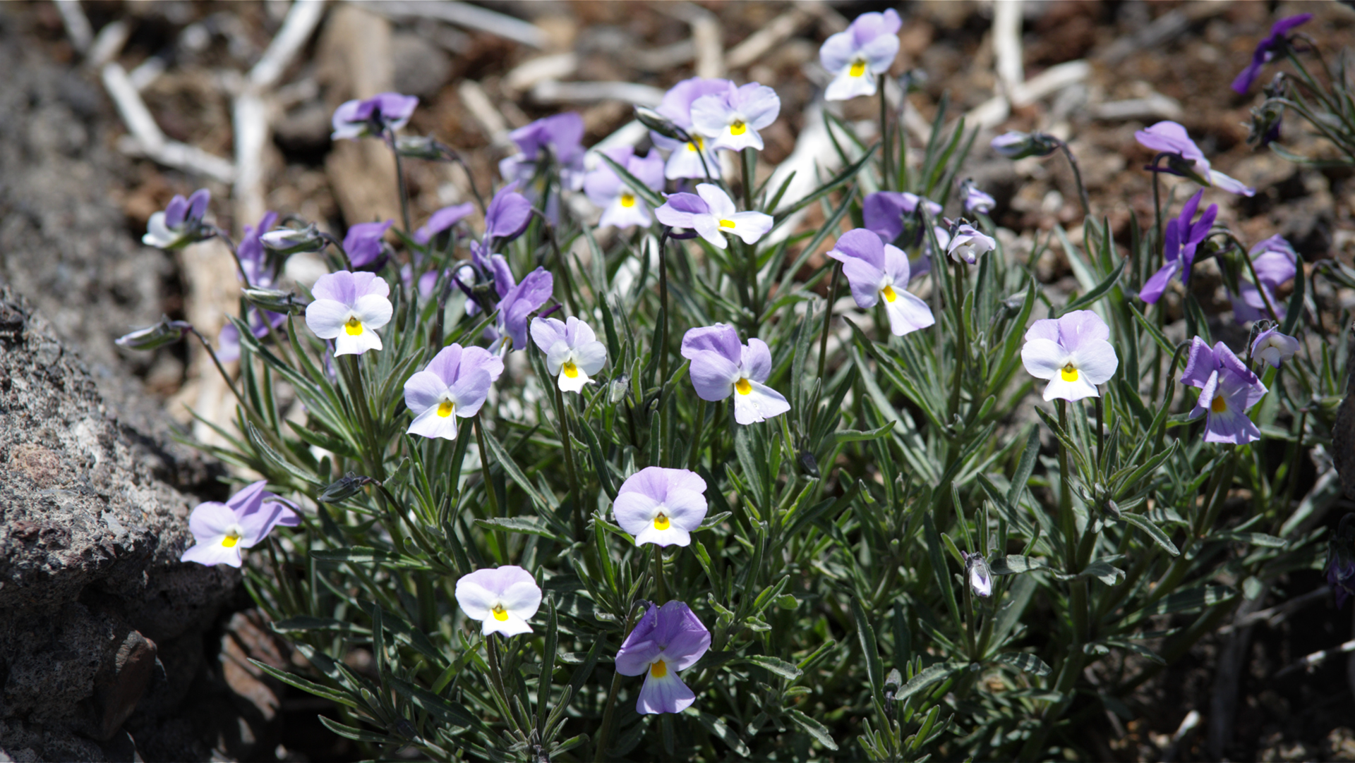
The red lapilli areas are nutrient-poor and dry – only a few specialized plants settle on them. The contrasts on this route — red earth, gray basalt walls, yellow gorse, blue skies (or sea of white clouds below) — are the visual hallmark of the caldera ridge.
Best travel time
| Season | Character | Note |
|---|---|---|
| Spring (March-May) | Snake and gorse bloom; clear view | Best conditions; Book permit early |
| Summer (June–Aug) | Often over clouds; intense light | intense heat reflecting off lapilli; start early |
| Autumn (Sept–Nov) | Best panoramic light; heavy visitors | Little shade; Windbreak above |
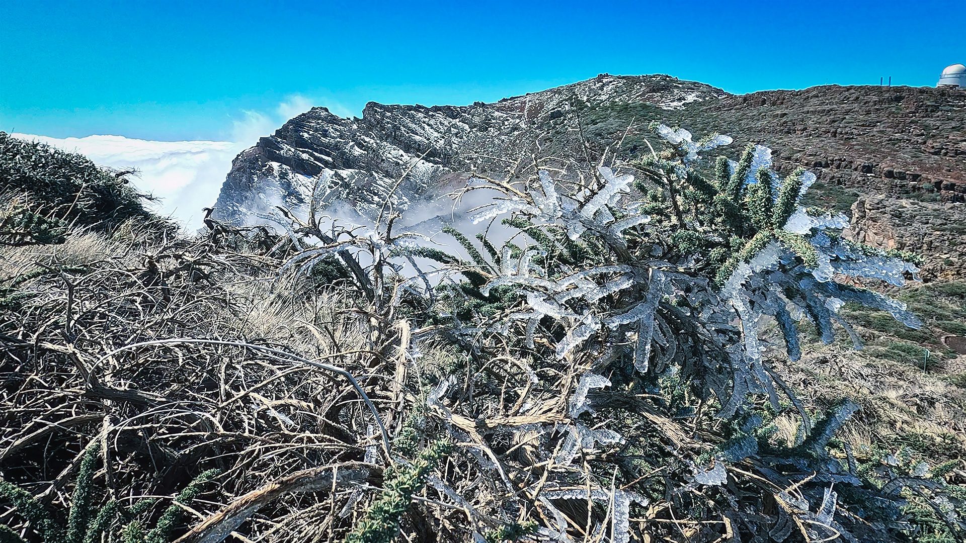
| Winter (Dec-Feb) | Snow possible at 2,300+ m | Only in safe conditions |
Combinable tours
The starting point on the LP-4 at km 31/32 is at the junction of several large routes. If you continue the following day, you have the choice between a longer ridge route southwards or one of the large descents into the valley:
| Tour | Data | Character |
|---|---|---|
| Caldera high-altitude hiking trail Pico de la Nieve → Roque de los Muchachos | 20.5 km, difficult | Large ridge route; this tour is the southern half section |
| PR-LP 7: Pico de la Cruz → Los Sauces | 14.4 km, difficult | Descent from the same starting point into the valley |
| PR-LP 8: Pico de la Cruz → Barlovento | 11.9 km, difficult | Shorter descent from the same starting point |
GPS track and 3D route planner
GPS track and elevation profile show the entire route along the summit chain with all branches to Mirador de los Andenes and Espigón. The Sunhikes route page also contains weather information for the high mountain areas – important for tour planning.
To the route page on Sunhikes: Hike Pico de la Cruz – Roque de los Muchachos – Espigón
3D route planner from Sunhikes – plan your own route in the national park
Practical Tips
Emergency call 112. No mobile network between km 31 and Roque. Wind protection is mandatory on the summit ridge – strong gusts are possible even in apparently calm weather.
Parking bays on the LP-4 are limited. Arrive early or take a taxi to the starting point. The Espigón del Roque as a destination is the added value of this route compared to the pure Roque climb – plan an extra 1.2 km and approx. 45 minutes.
Note: National Park
Completely within the Caldera de Taburiente National Park. Road restrictions, garbage collection, fire ban. Observatorium Street is closed to public traffic.
Frequently asked questions
What is La Pared de Roberto?
What is the Espigón del Roque?
Can you drive to the trailhead?
The Astrophysical Observatory: Science at the Summit
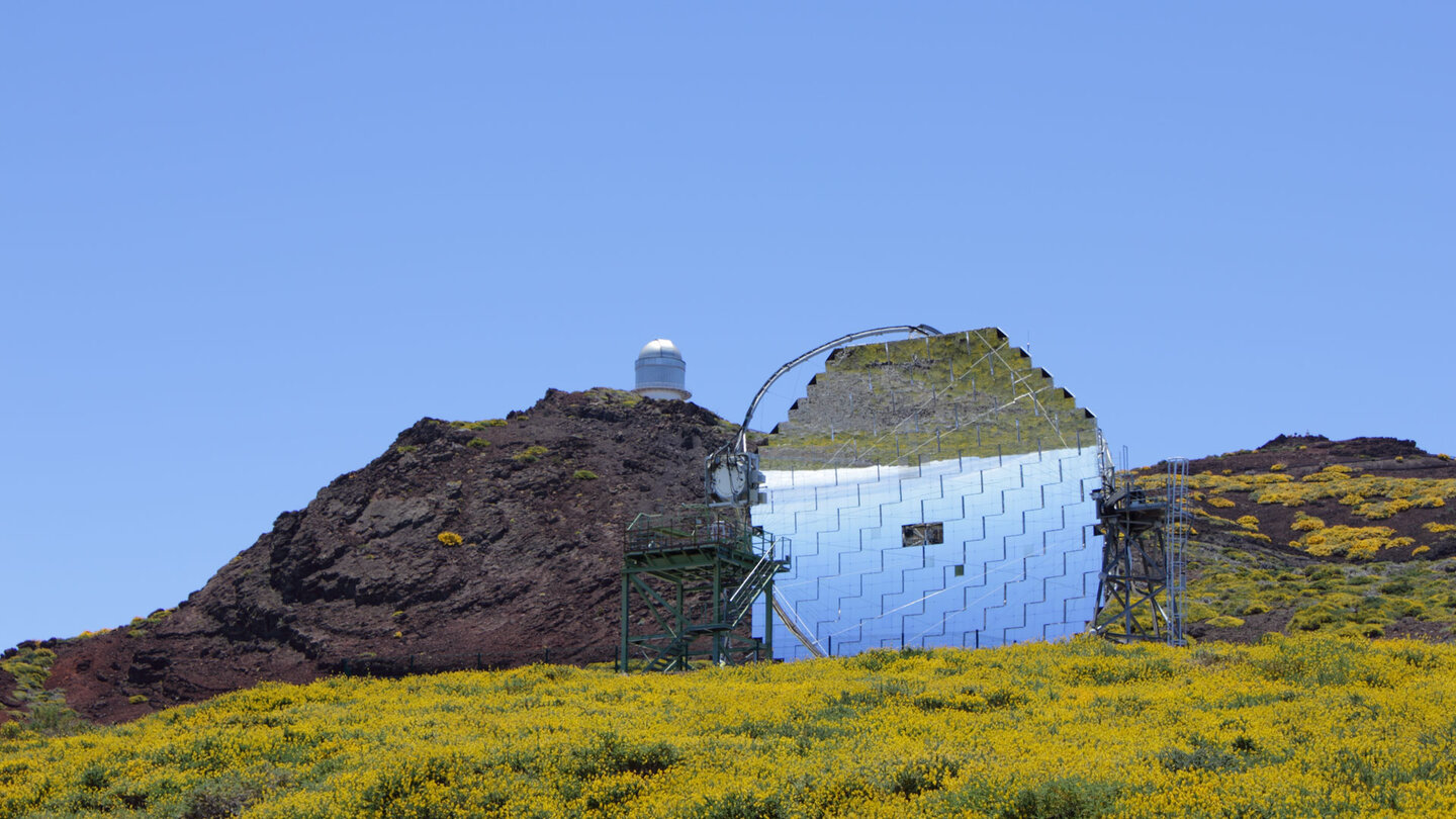
The Observatorio del Roque de los Muchachos is not a visitor centre but active research infrastructure. The facilities — including the William Herschel Telescope (primary mirror 4.2 m), the MAGIC Cherenkov Telescope and the Cherenkov Telescope Array — rank among the most important of their kind worldwide. You are quite literally hiking through an astronomical research station.
In 2002, La Palma became the first island in the world to receive Starlight Reserve status. Light pollution on the island has been legally regulated ever since. For those wishing to experience the night sky near the trail — camping within the national park is prohibited, but driving up the LP-4 after sunset is perfectly legal and reveals one of the darkest night skies in Europe.
The Espigón del Roque is the better destination than the pure Roque summit. There are many day visitors by car in the Roque car park on weekends and in season. At Espigón — 1.2 km further, 45 minutes extra — you are mostly alone. The viewing platform is exposed on the outermost rocky outcrop and offers an unobstructed view of the gorges and over the mountain ridges with no other hikers in the picture.
The highly frequented classification according to Sunhikes refers to the Roque de los Muchachos section – the most popular high point in La Palma. The section from the LP-4 starting point to the Mirador de los Andenes is significantly quieter. If you start early in the morning, you still have the first part of the route almost to yourself.
Travel practical: La Palma for high mountain hikers
The high-altitude hiking trail along the summit chain is one of the few routes on La Palma where weather deterioration has to be taken seriously, even in summer. At 2,300+ meters, thunderstorms can appear quickly – weather app before the start, planned return before 2 p.m.
For lodging near this trailhead: The LP-4 section is between Santa Cruz to the northeast and El Paso to the west. Santa Cruz (approx. 30 minutes) has hotels and holiday apartments. El Paso (approx. 20 minutes) has holiday homes on Clariso, some at 800-1000 m altitude – advantageous for cool nights and short journeys to the high mountains. Can be booked on clariso.eu — Holiday homes La Palma.
This article is based on the on-site knowledge of the Gequo editorial team – publisher of the Reisezeit hiking guides and operator of Sunhikes.com. As of: May 2026


