
Hike from Mirador de la Tosca to Gallegos on the GR-130
The hike from Mirador de la Tosca to Gallegos follows the GR-130 Camino Real de la Costa – the historic coastal path of La Palma – over almost 10 km through four gorges with constant ups and downs: 9.8 km, 445 m, moderate, 3:30-4:00 hours. The route is considered the most accessible of the north coast stages and still offers the typical dynamics: dragon trees on the mountain ridges, laurel forest vegetation in the gorge depths, wide coastal panoramas.
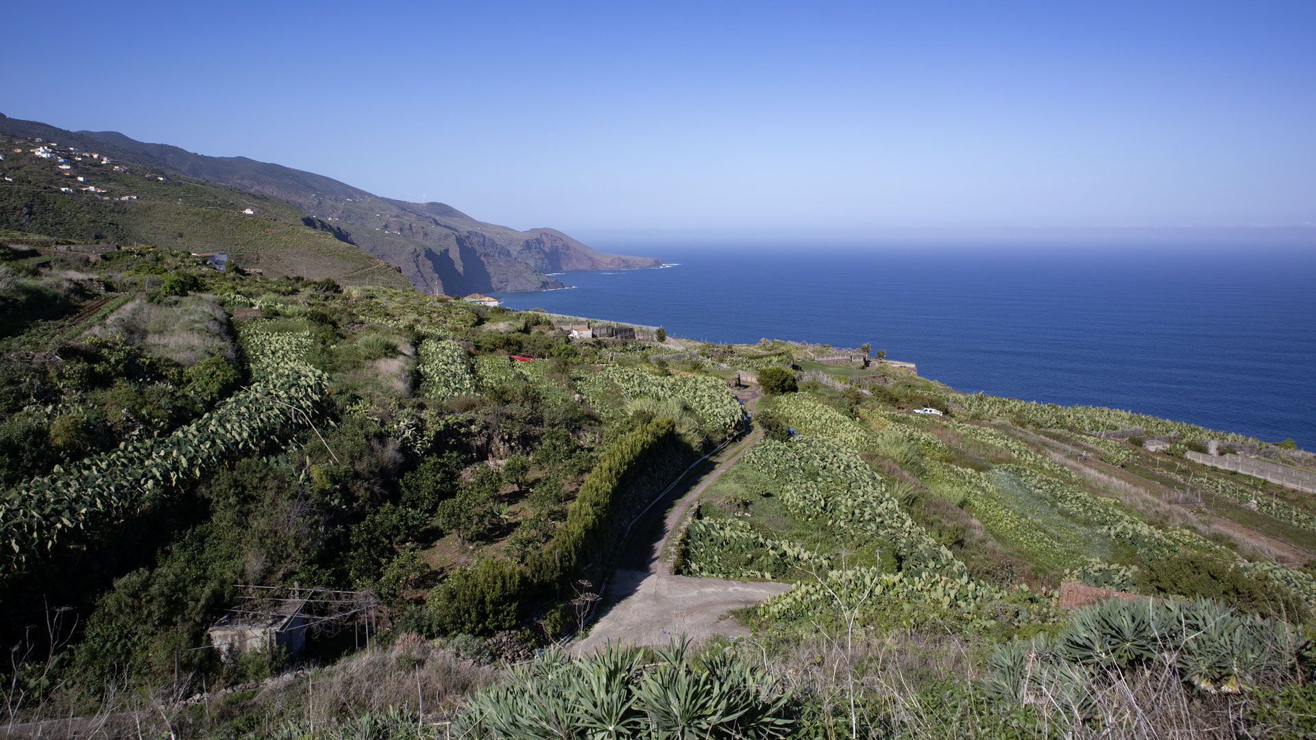
The starting point is the Mirador de la Tosca on the LP-1 between km 35 and 36 near Barlovento – with a wonderful view over the entire north coast to El Tablado and Gallegos in the west. End point Gallegos: small bar Víveres Gallegos for a well-deserved break. Way back: either back the same way, or bus/taxi from Gallegos.
The GR-130 is well signposted on this stage. The hike can be undertaken in both directions.
Route facts at a glance
| Route type | Out and back (or route with return trip) |
|---|---|
| Distance | 9.8 km |
| Elevation profile | 445 m ascent / 445 m descent |
| Highest point | 578 m |
| Lowest point | 299 m |
| Duration | 3:30-4:00 hours |
| Difficulty | moderate (easy to follow, gorge crossings) |
| Starting point | Mirador de la Tosca, LP-1 km 35-36, near Barlovento |
| Ending point | Gallegos, LP-1 exit bus stop La Cancela |
| Path marker | GR-130 (red-white) |
| Protected area | Guelguén Natural Park |
| Equipment | Provisions, water, sturdy shoes, sun protection, rain protection, wind protection |
Getting there
By car: Mirador de la Tosca on the LP-1 between km 35 and 36 near Barlovento. Parking at the Mirador. Gallegos is also on the LP-1, exit La Cancela bus stop. For a point-to-point hike either a second car in Gallegos or return by bus/taxi. Refreshment options in Gallegos (Bar Víveres Gallegos) and Barlovento.
The route in detail
Mirador de la Tosca to La Tosca
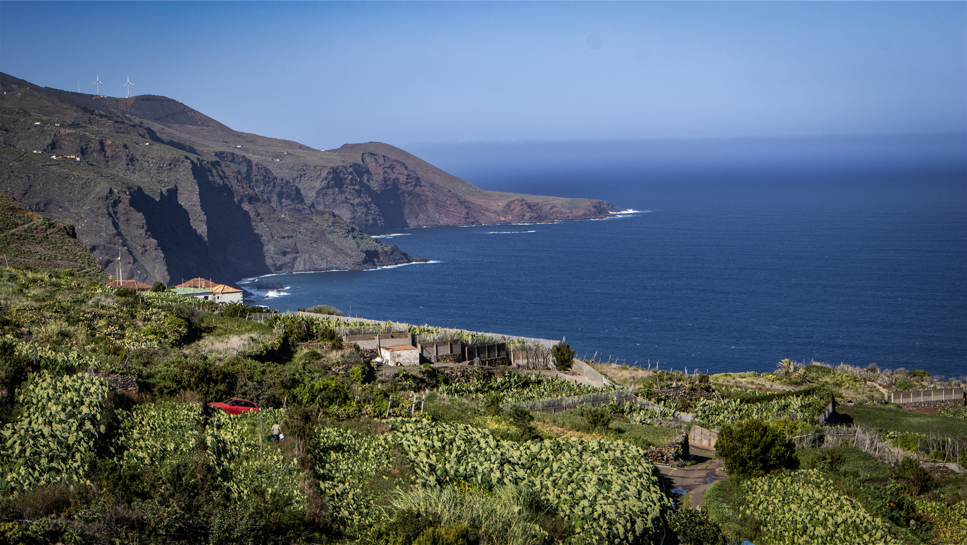
The Mirador offers a wonderful view over the north coast with traditional cultural landscapes and impressive cliffs in front of the ocean. Heading west: Gallegos and even further El Tablado. A concrete track leads downhill to the right. Then: small village of La Tosca with a few houses and ancient, large dragon trees. Here you will find the GR-130 (red-white).
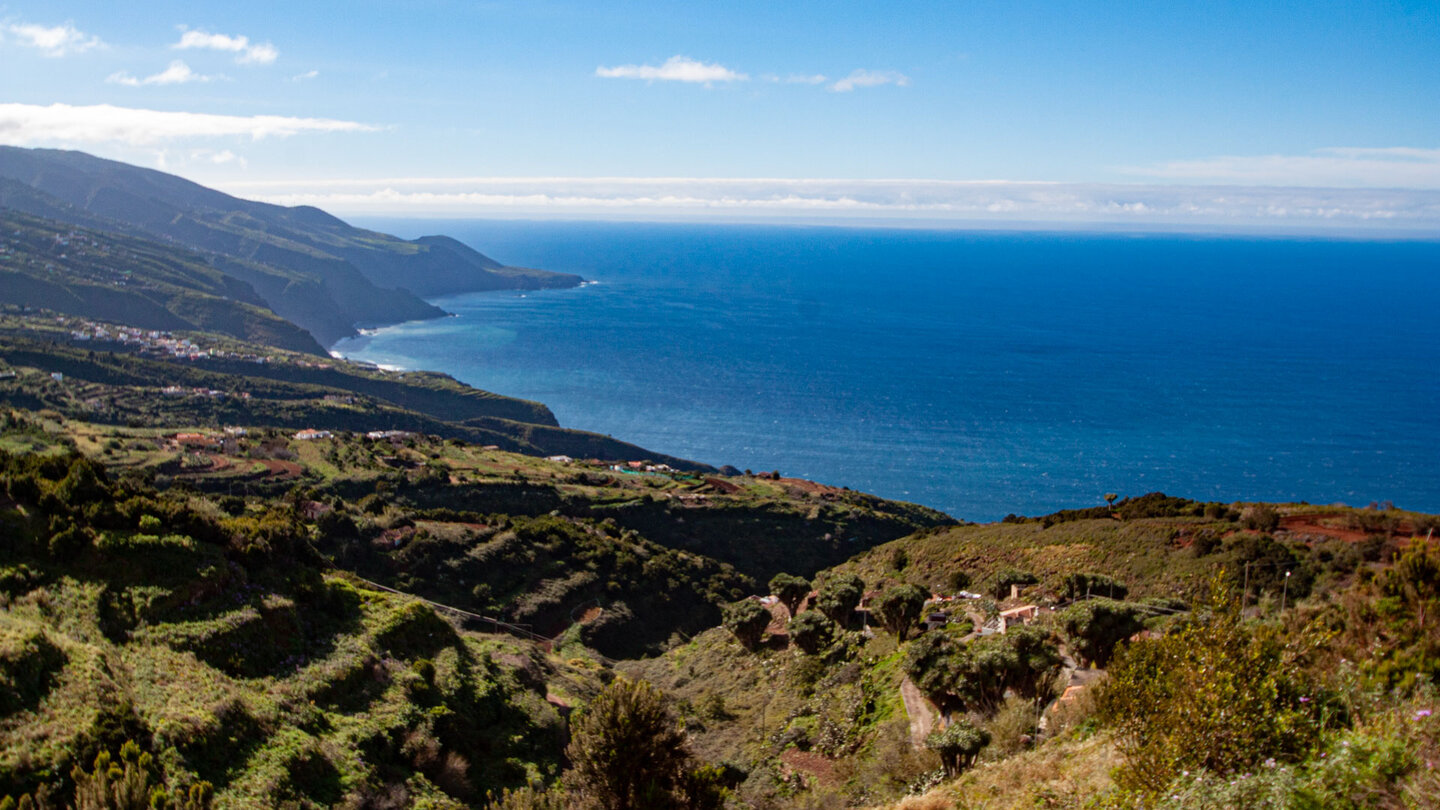
From La Tosca through four gorges to Gallegos
Follow the GR-130 to the left on a wide road. Past the Fuente La Tosca spring and its historic washhouses. The GR-130 changes into a beautiful hiking trail, stone steps into the Barranco Topaciegas gorge – quickly crossed. Then La Vica Gorge. On the concrete road to the intersection at La Palmita – straight ahead, follow the GR-130 markings. Another small gorge (Barranco la Palmita). From the mountain saddle: view of Gallegos and Franceses.
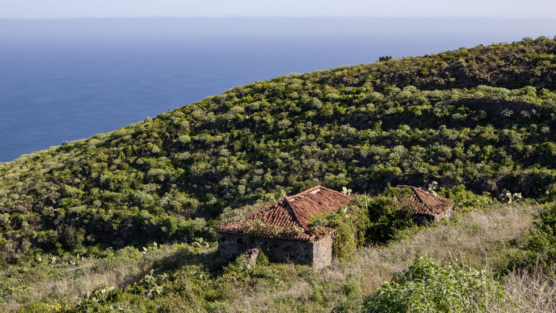
Last gorge: Barranco de Gallegos. Descent through lush vegetation with heather, sow-thistles and cistus. Steep, layered rock faces. Climb on the opposite side, first houses of Gallegos. Another small gorge, then the town centre. Bar Víveres Gallegos: typical Palmerian stop.
The change of vegetation: ravines as climate boundaries
The flora on this route changes with each gorge passage: spurge plants (Euphorbia), cacti and agaves grow on the dry mountain ridges between the gorges – adapted to the dryness exposed to the sun. Tree heather bushes, laurel forest plants, ferns and mosses grow in the moist, shady depths of the gorge. This change of vegetation over a short distance is typical of the north coast of La Palma and makes each section of the gorge botanically new.
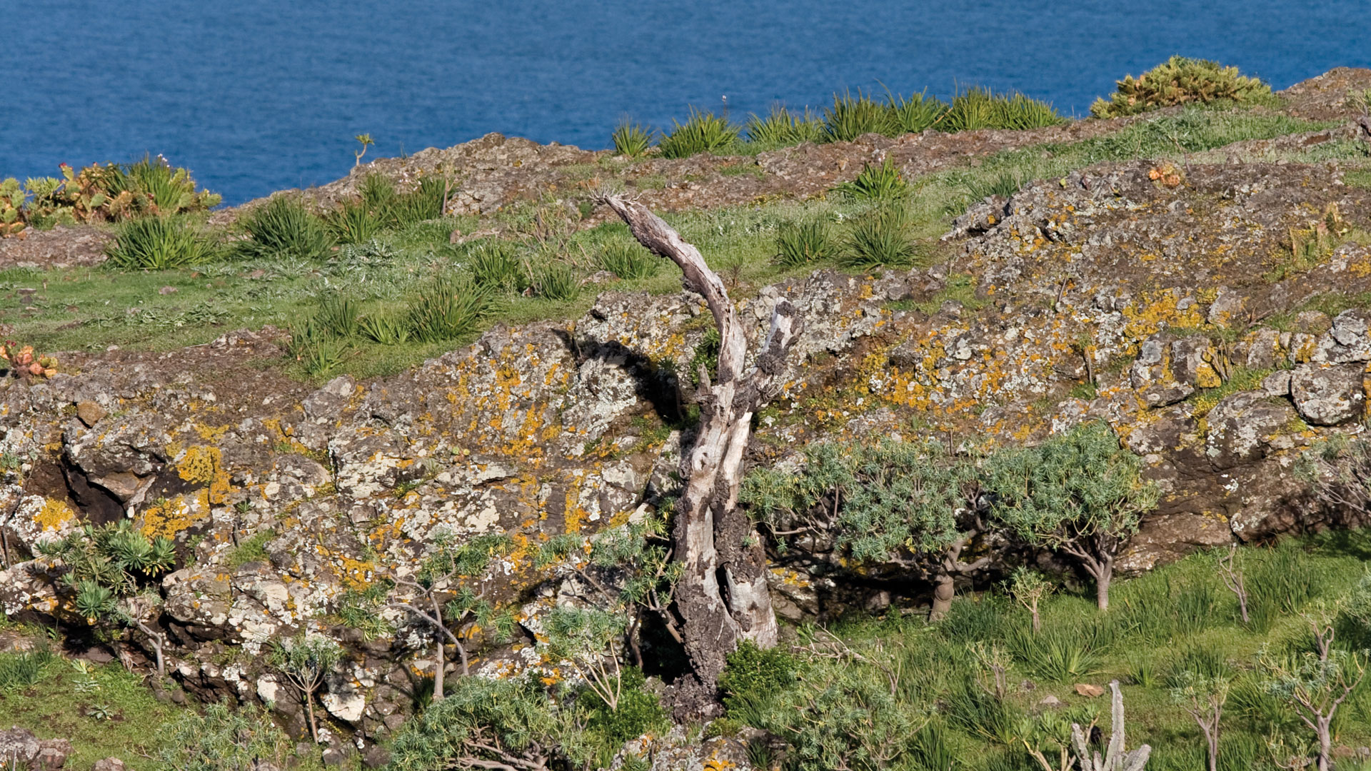
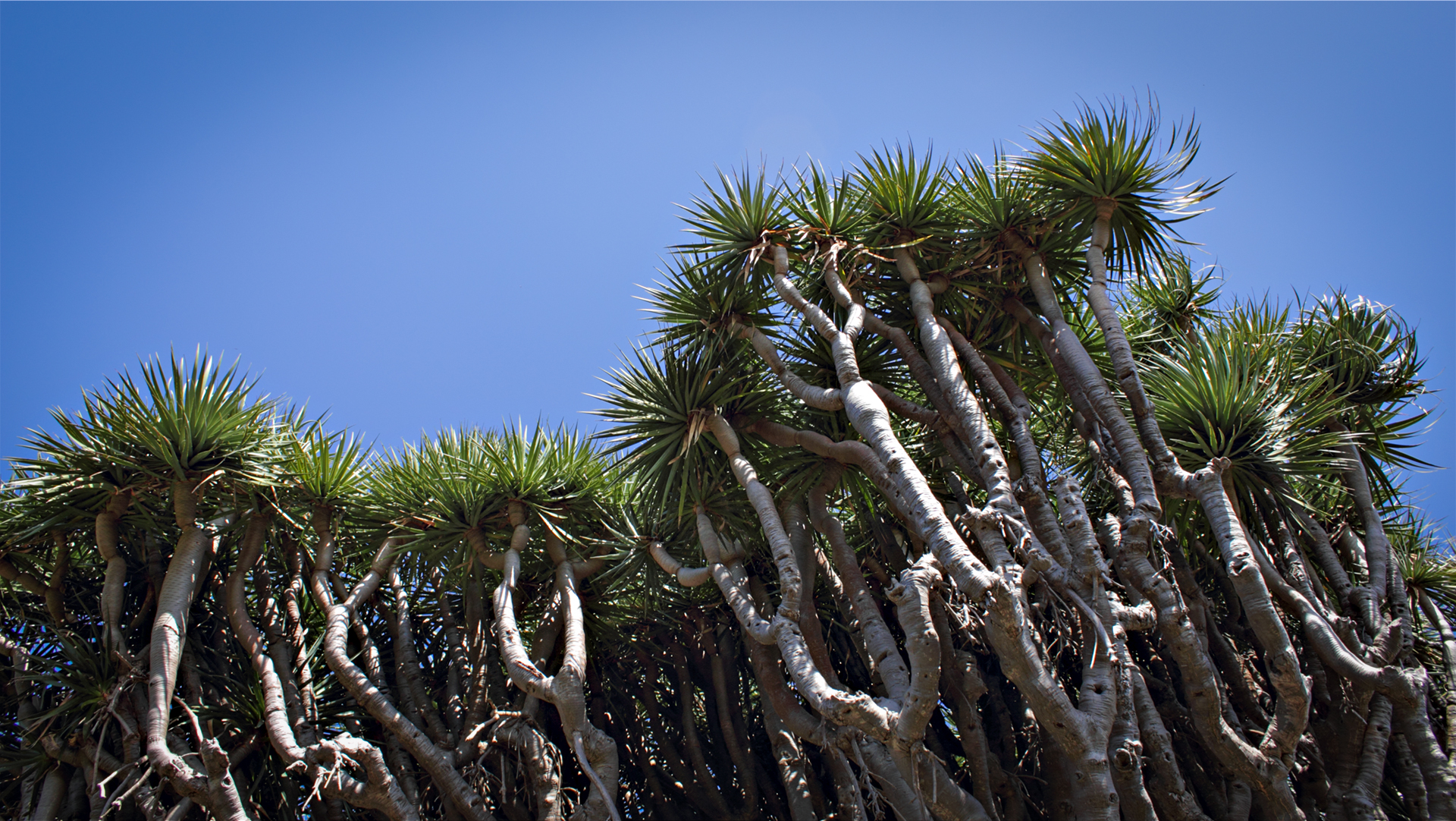
The old dragon trees (Dracaena draco) in La Tosca are particularly worth seeing: mighty ones with widely spreading branches. Dragon trees can live for hundreds of years and are particularly common on La Palma in the municipality of Garafía. El Tablado and the Tosca region are among the areas with the most ancient dragon trees on the entire north coast.
Gallegos: the village at the end of the gorge
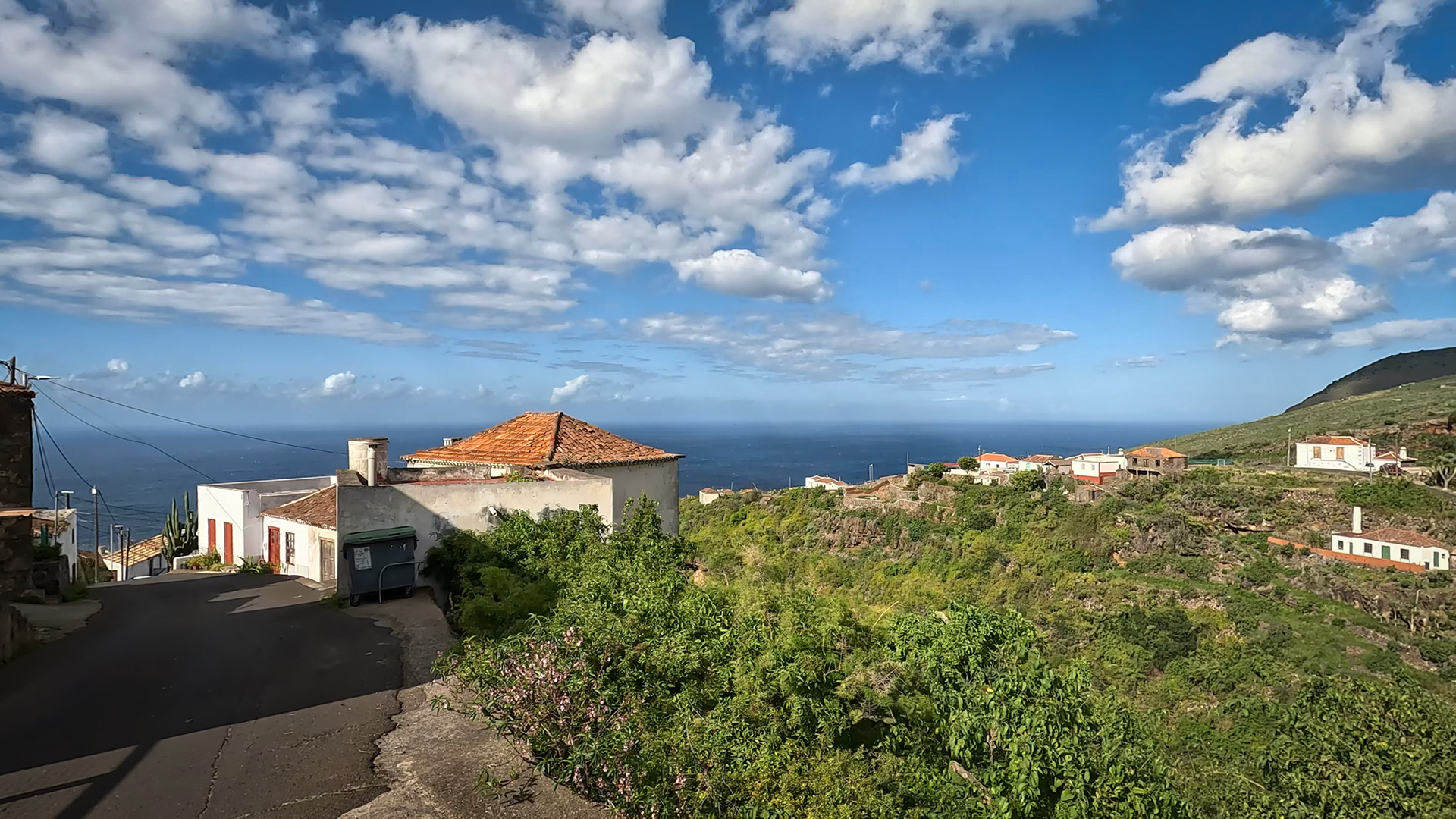
Gallegos is located on a ridge near the border between the municipalities of Garafía and Barlovento. The village belongs administratively to Barlovento, but is geographically on the border. The town centre with its typical Palmerian architecture and the bar Víveres Gallegos – a real meeting place for the locals – is the destination of this route. Anyone who arrives feels welcome.
Best travel time
| Season | Character | Note |
|---|---|---|
| Spring (March–May) | Vegetation green, ravines rich in water | Optimal conditions |
| Summer (June–Aug) | Cool in canyons; North coast fresh | Pleasant hike even in summer |
| Autumn (Sept–Nov) | Clear visibility; best coastal panoramas | Most popular season |
| Winter (Dec-Feb) | Rain more often; Paths slippery | Be careful on paved sections |
Accommodation in Garafía
Mirador de la Tosca is located in the municipality of Garafía. Holiday homes are available in Garafía. Ideal as a base for all GR-130 stages of the north coast.
Combinable tours
This route combines two different characters: Barlovento region in the east and Gallegos in the west. As part of the GR-130 crossing:
| Tour | Data | Character |
|---|---|---|
| El Tablado to Gallegos | 9.4 km, difficult | Western continuation from Gallegos |
| Hike El Tablado → Santo Domingo | 13.2 km, difficult | Large north coast route to the west |
| Mirador de Barlovento → Tosca | variable | Eastern GR-130 continuation towards Barlovento |
GPS track and 3D route planner
The GR-130 is well marked, but the junctions at La Palmita and the gorge crossings are clearly marked on the track. With the free 3D route planner, the route can be seamlessly put together with the neighboring stages to form a coastal hike lasting several days – directly in the browser, without an app.
To the route page on Sunhikes: Hike Mirador de la Tosca to Gallegos
3D route planner from Sunhikes – customize and combine routes
Practical Tips
Emergency call 112. Plan to stop at Bar Víveres Gallegos at your destination. Return the same way or by bus/taxi from Gallegos. There are no refreshment stops between the start and finish.
Note: Nature Reserve
Parts of the route in the Guelguén Natural Park. Getting there, waste collection.
Frequently asked questions
Where is the Mirador de la Tosca?
Can you start the tour from Gallegos?
The Mirador de la Tosca as a landmark
The Mirador de la Tosca is not only the start of the hike, but also one of the most complete viewing points on the north coast. From here you can see the entire stage on a line from east to west: in the east the coast towards Barlovento, in the west Gallegos and El Tablado on their mountain ridges, in between the gorges as dark cuts in the coastal strip. Anyone standing here before the start can estimate the route – and immediately understand why the ups and downs are so characteristic.
The old washing places at Fuente La Tosca, which you pass early on the way, are among the preserved heritage sites of the north coast. In times when there was no water supply in the house, these springs with washing stones and basins were the social meeting places for women. La Tosca has a particularly well-preserved example — the stone walls are intact, the water still flows.
Dragon trees in La Tosca
There are ancient dragon trees around La Tosca. Garafía, the municipality to which La Tosca belongs, is home to the most important wild populations of the dragon tree (Dracaena draco) on La Palma. These trees can live for several hundred years and are recognizable by their sprawling, gnarled branches. The red resin of the dragon tree — traditionally used as a dye, medicine and protective varnish for musical instruments — has been equated with the blood of mythical dragons in medieval tradition.
The route from Mirador de la Tosca to Gallegos is the most accessible of the north coast GR-130 stages at 9.8 km and 445 m. This makes it the ideal introduction to gorge hiking on the north coast – before tackling the more difficult stages (El Tablado to Gallegos, El Tablado to Santo Domingo). If you explore La Palma’s north coast over several days, take this route on the first day to get to know the terrain.
A note about frequency: According to Sunhikes, the hike is considered sees low to moderate footfall. On weekends in high season you can meet other hikers at the Víveres Gallegos bar; During the week you are often alone. The GR-130 in this section is one of the quieter long-distance hiking trail sections in La Palma – no crowds, no hustle and bustle. That’s part of the appeal of this north coast.
Yams, bananas and traditional crops
The terraces on the last kilometer before Gallegos show the agricultural diversity of the north coast in a nutshell: yams, bananas, grape vines and vegetable gardens side by side on narrow strips of terraces. Yam is rarely seen in northern Europe, but is firmly anchored in Canarian cuisine: boiled and mashed as a side dish, or pureed in traditional stews. The tubers grow on long tendrils and need a lot of moisture – the north coast with its trade wind climate is their ideal location on La Palma.
Gallegos as a destination has more character than many of La Palma’s tourist landmarks. The town lies on a mountain ridge, has a sports field at the entrance, the Víveres bar as the centerpiece and a handful of houses in Palmerian architecture. No souvenir shop, no tourist information. Anyone who arrives here has arrived in a real village – and that’s the best thing about it.
This article is based on the on-site knowledge of the Gequo editorial team – publisher of the Reisezeit hiking guides and operator of Sunhikes.com. As of: May 2026


