
Tunnel hike over the Marcos y Cordero springs to Los Tilos
Thirteen tunnels carved into the rock, La Palma’s green springs, a wild descent through the Barranco del Agua and the densest laurel forest on the island – the tunnel hike from the Casa del Monte via the Nacientes de Marcos y Cordero to Los Tilos is one of the most spectacular routes on La Palma. 11.1 km · 580 m ascent · 1,406 m descent · Demanding.
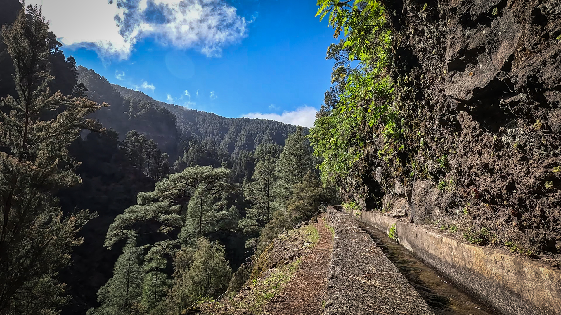
The tour starts at the Casa del Monte, which can be reached via a taxi shuttle service (approx. €15 per person, from 9 a.m.) from the car park at the Los Tilos Visitor Centre – your own vehicle cannot continue there. From the Casa del Monte you follow the level water channel to the Marcos springs: 13 tunnels, impressive steep slopes, a belt of pine and laurel forests. After the springs there is a long, steep descent through the Cordero Gorge and the Barranco del Agua back to the car park at the visitor centre.
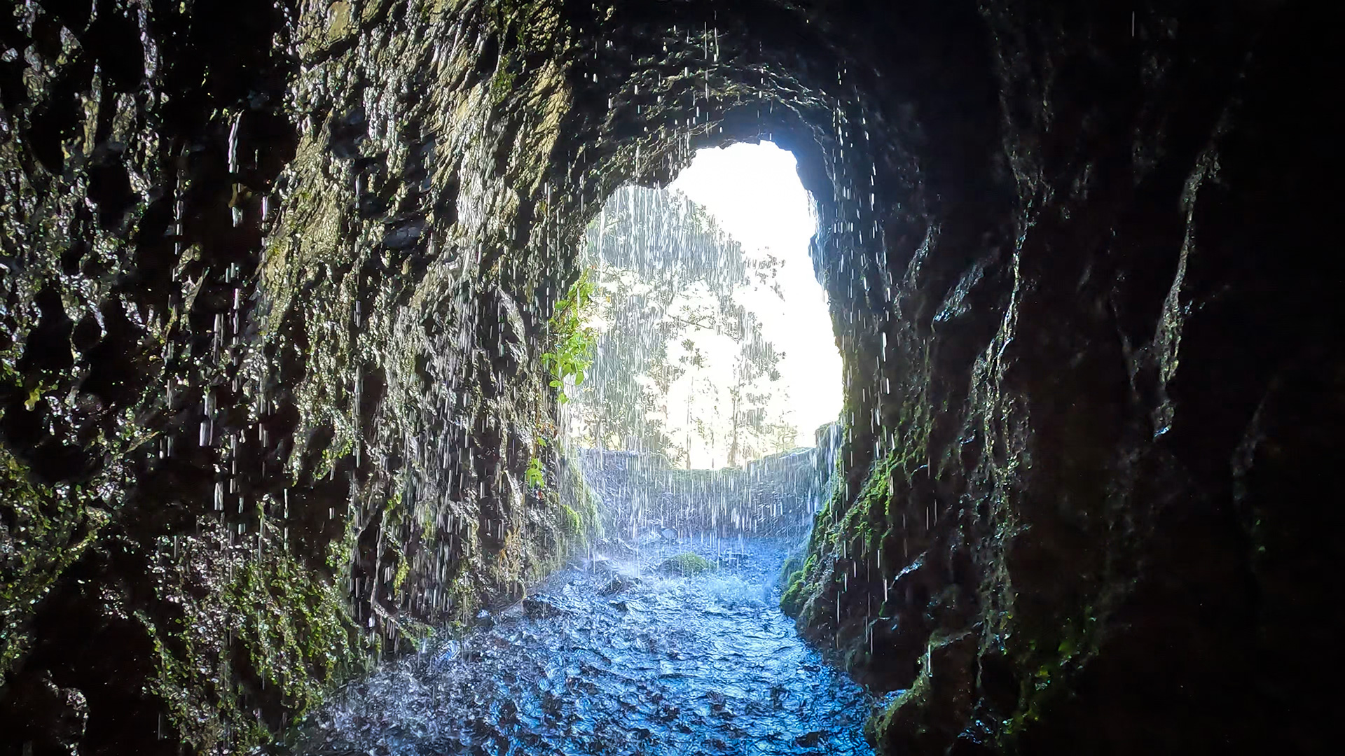
This route is not for beginners. A headtorch, helmet, and waterproof jacket are essential – not optional. Before tunnel No. 12 you have to put on your rain gear: water pours heavily from the rock walls and ceiling. Anyone who is not prepared for this will get soaking wet.
Route facts at a glance
| Route type | Point-to-point route (from Casa del Monte to Los Tilos Visitor Centre) |
|---|---|
| Distance | 11.1 km |
| Altitude | 580 m ascent / 1,406 m descent |
| Highest point | 1,592 m (Cordero Springs) |
| Lowest Point | 482 m (Visitor Centre Car Park) |
| Duration | 5:00-6:30 hours |
| Difficulty | Hard |
| Starting Point | Casa del Monte (only by taxi shuttle from the Visitor Centre, ~15 €/person, from 9 a.m.) |
| End Point | Los Tilos Visitor Centre Car Park |
| Path markings | LP-PR 6 |
| Protection status | Las Nieves Natural Park / Los Tilos Biosphere Reserve |
| Equipment | Headlamp, helmet, rain protection, sturdy shoes, provisions, water |
Directions and starting point
The start of the hike is the Casa del Monte – a building deep in the natural park that cannot be reached with your own vehicle. The approach is via the Los Tilos Visitor Centre, which can be reached from Santa Cruz de La Palma via the LP-830 heading north: just before Los Sauces, a narrow road turns left and leads directly to the centre’s car park.
Taxi shuttle to Casa del Monte
From the first car park at the visitor centre, a taxi shuttle service runs to Casa del Monte from 9 a.m. – Price: approx. €15 per person. Driving on the route with your own vehicle is not possible. Taking the shuttle is mandatory — private vehicles are strictly prohibited. There may be waiting times on weekends and public holidays – arrive at the car park early.
Arrive early
For 11.1 km and 5 to 6:30 hours of walking, you should be at the car park by 9 a.m. at the latest – exactly when the shuttle leaves. When descending through the Barranco del Agua, the gorge sections are much more uncomfortable in the evening. Setting off after 10:00 risks finishing the final gorge descent in dusk or darkness.
The route in detail
Section 1: Casa del Monte — canal path with the 13 tunnels
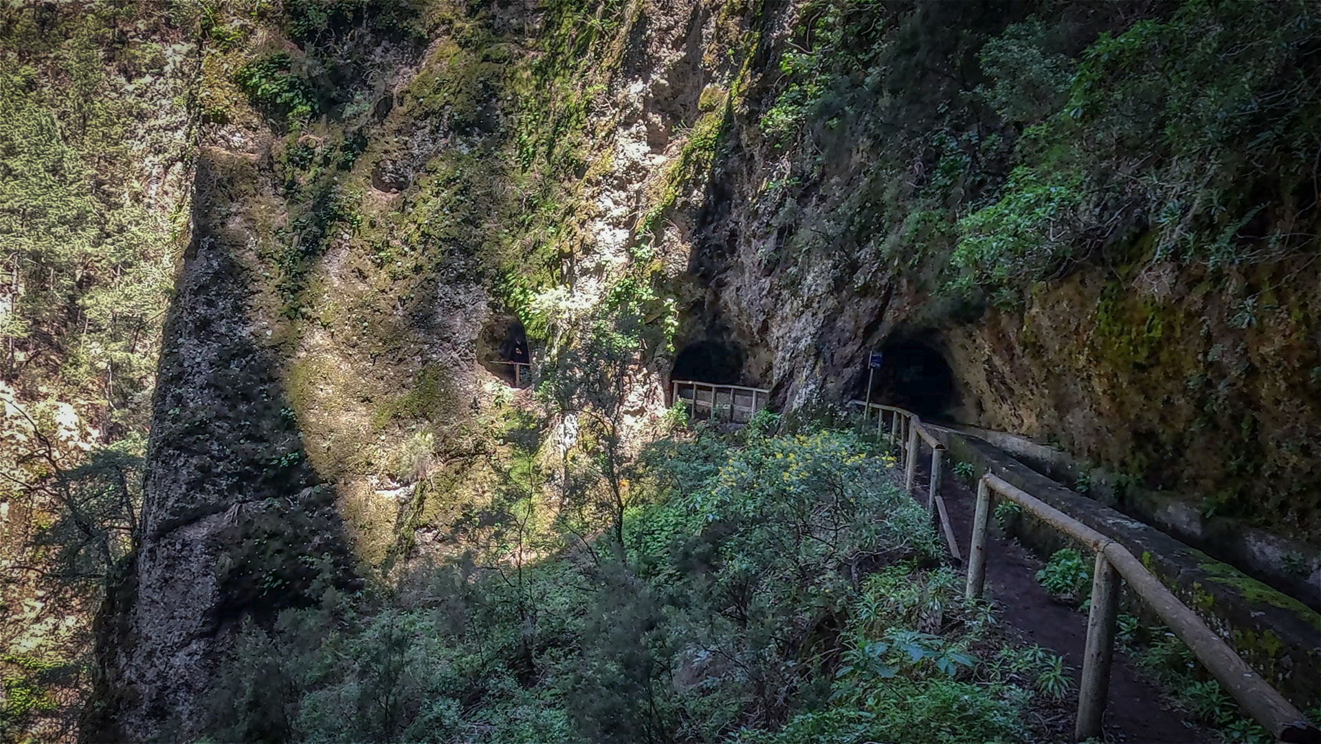
From the Casa del Monte the path follows the historic water canal in an almost level course to the Marcos springs. The canal was built around 1900 to connect the Nacientes de Marcos y Cordero – the most productive springs in La Palma with around 10.1 Hm³ of water per year – with the agricultural areas of the northeast. Thirteen tunnels were blasted into the rock.
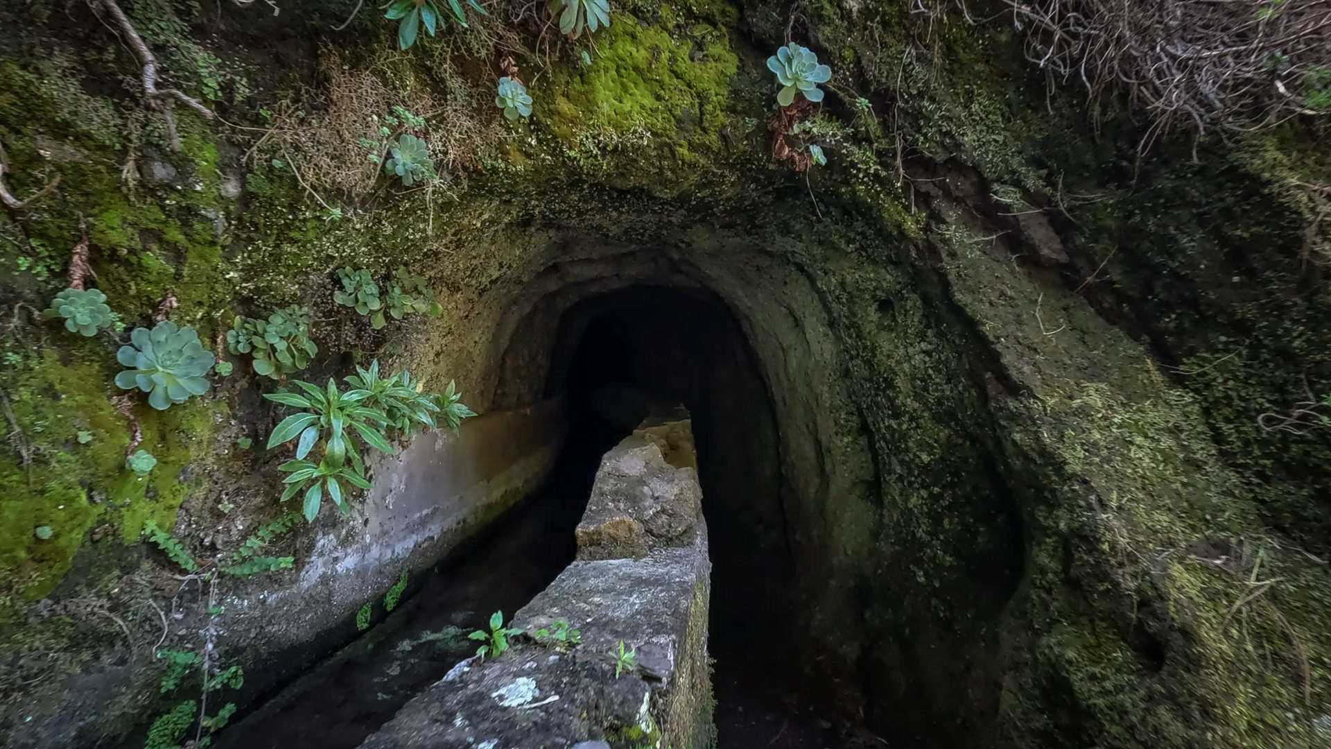
The first tunnel is particularly low and narrow, requiring you to stoop. Between the tunnels there are extensive views of the Barranco del Agua and the surrounding gorges and volcanic vents in the Las Nieves Natural Park. After the seventh tunnel you will find the rare Lotus Pyranthus – the fire trefoil with its red-orange flowers, which is found almost nowhere else on La Palma.
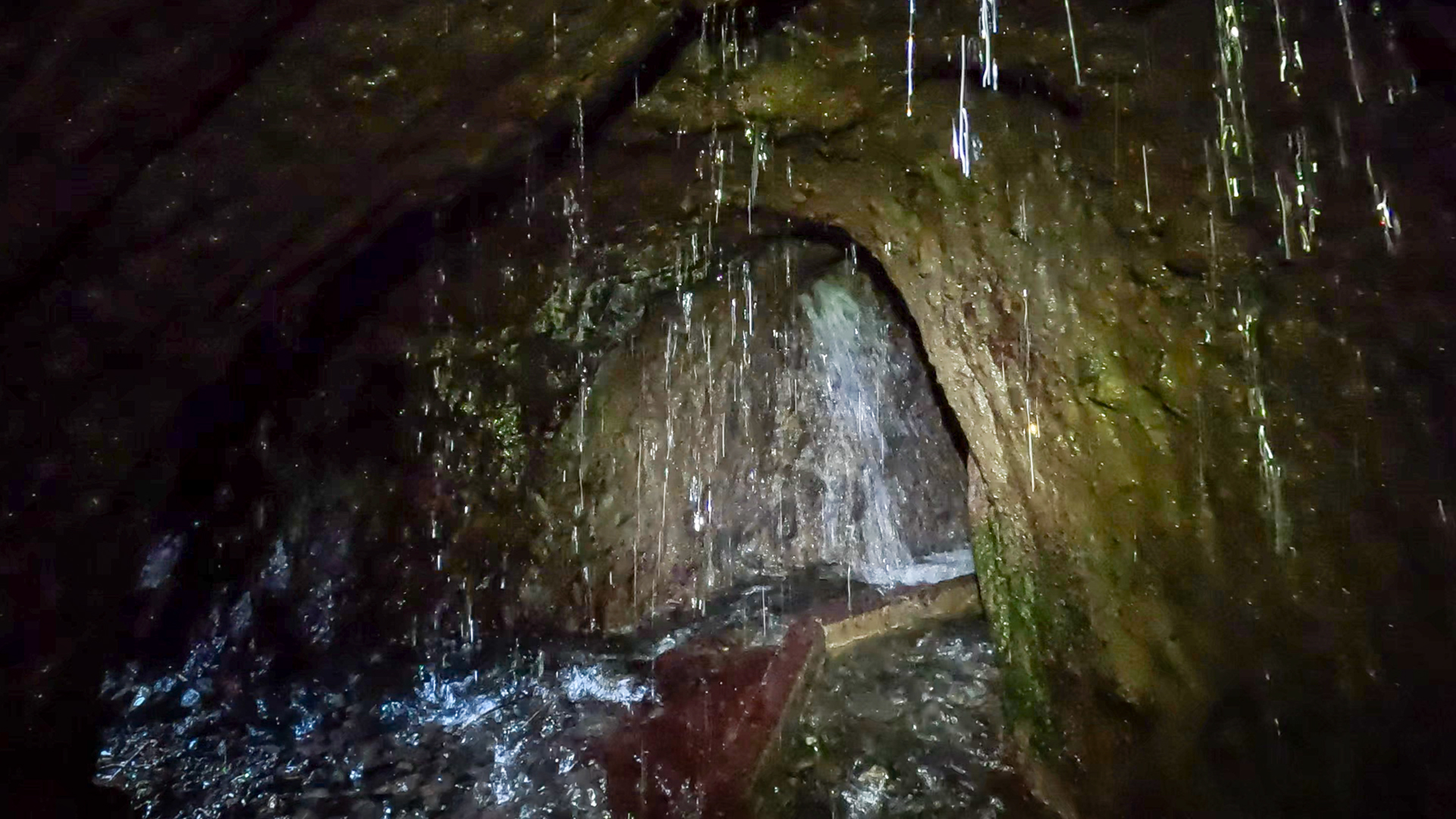
You must put on rain gear before Tunnel No. 12, the last one before the Marcos Springs. The water flows with considerable force from the rock walls and from the tunnel ceiling – the stony ground is correspondingly slippery. The tunnel’s window openings offer spectacular views of the gorge through a water curtain.
Section 2: Nacientes de Marcos y Cordero (Highest point, 1,592 m)
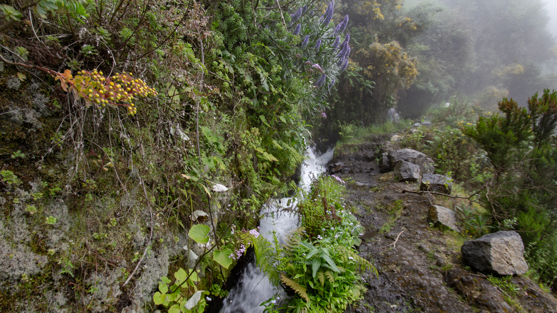
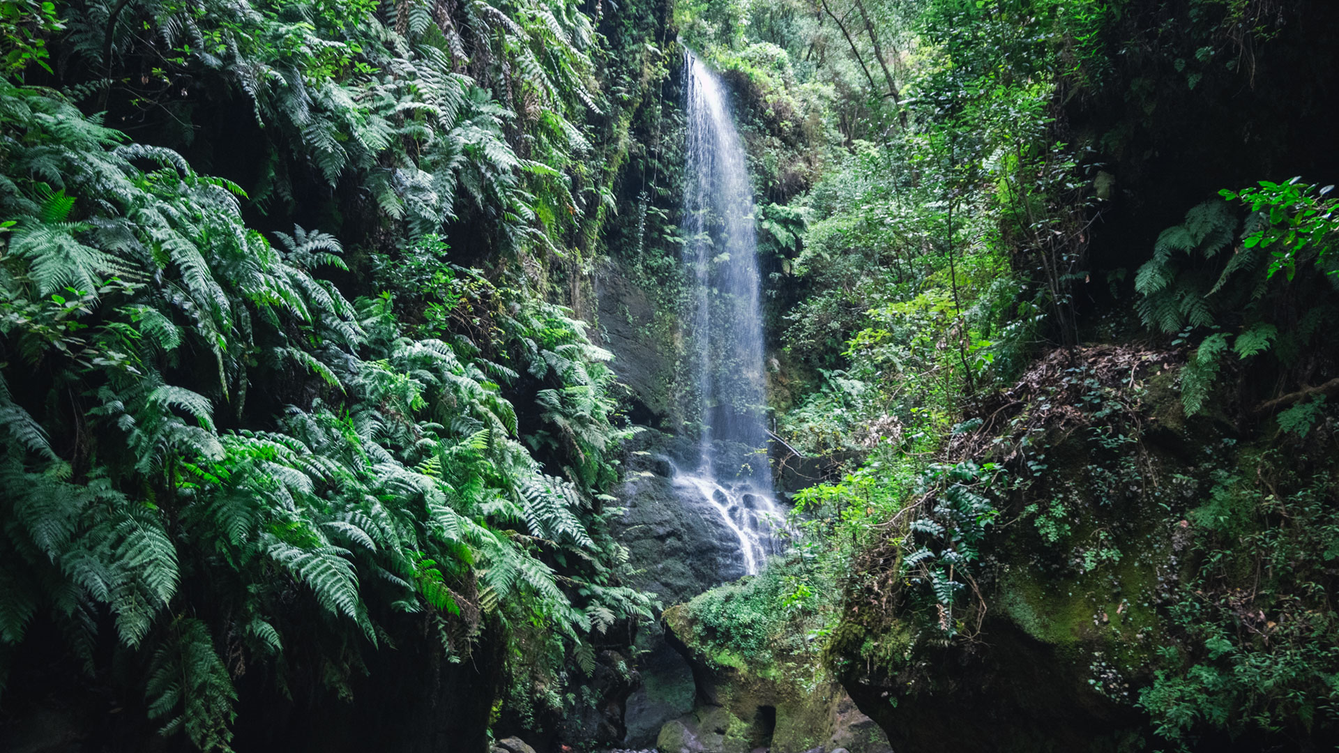
After tunnel 12 you stand directly at the Marcos springs: water streams cascade down from the rock walls in steps. The path climbing past the springs uses stone steps that occasionally turn into a stream bed. Mint, Canary Islands lemon bush, blackberries, moss, lichens and ferns grow along the rock faces – a vegetation that thrives on the constant discharge of water.
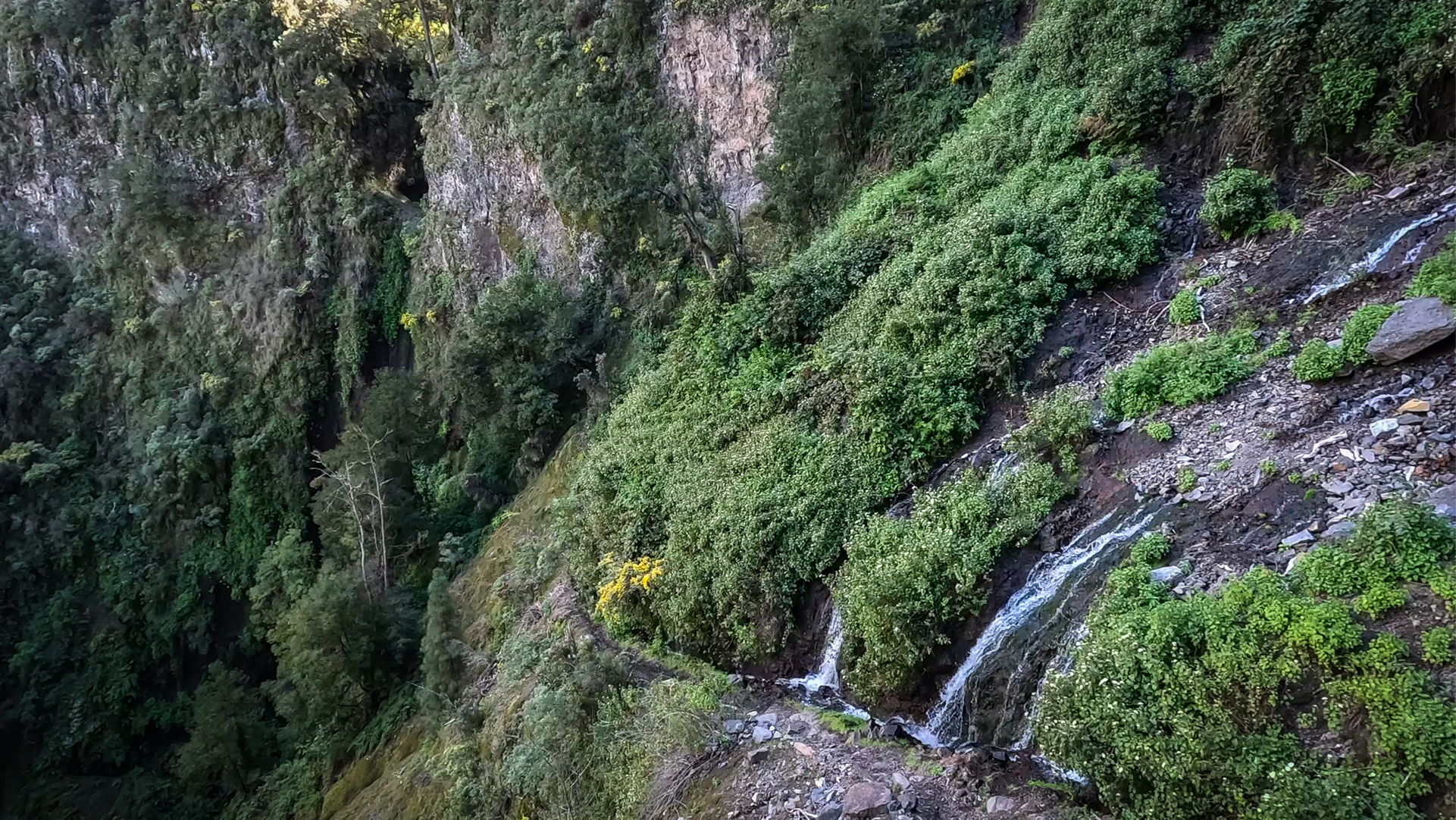
A steep climb leads to the Cordero Springs: several outlets with a smaller amount of water, quieter and more moss-covered than the Marcos Springs. Here the highest point of the hike is 1,592 meters. Take a break – the descent is long.
Section 3: Descent through the Cordero Gorge
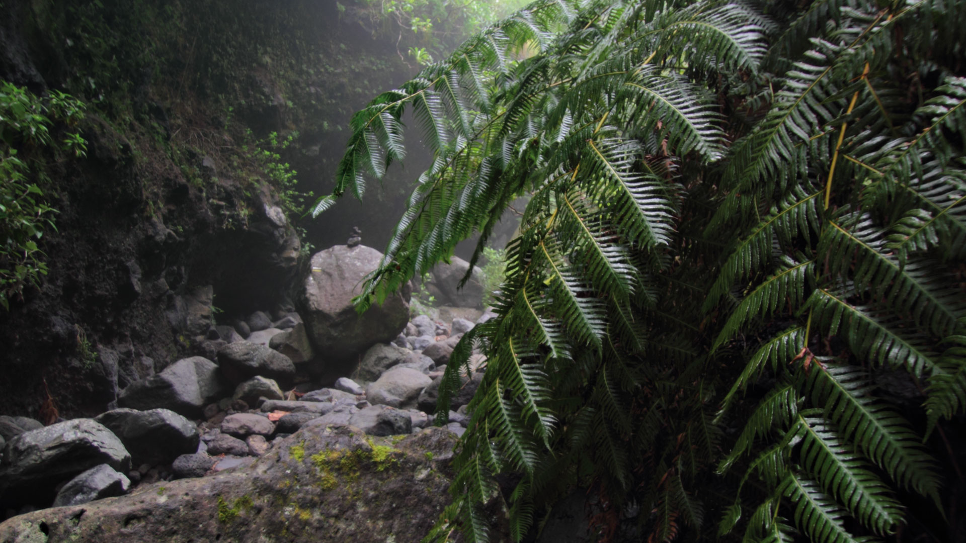
From the Cordero springs begins the long, steep descent through the Cordero Gorge to the stream bed of the Barranco del Agua. The LP-PR 6 hiking trail leads through tree heather and laurel forest areas covered with mosses and lichens. Particularly impressive: the Rooting Chain Fern (“Woodwardia radicans”), which here reaches frond heights of up to 2.5 meters.
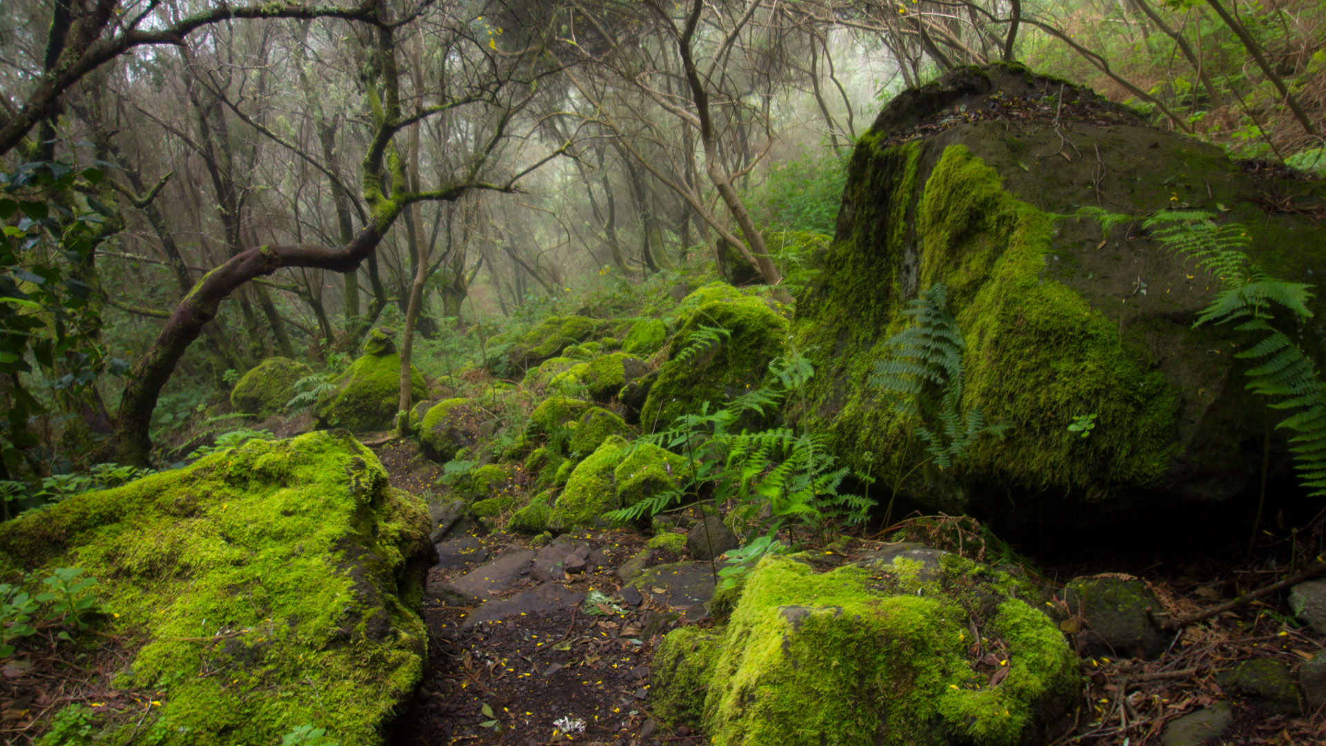
The path crosses the rocky stream bed several times before the gorge narrows. From this point you follow cairn markings directly through the Barranco bottom. The rock walls on both sides are overgrown with mosses, laurel and ferns and tower high. This is the heart of the descent – impressive and demanding at the same time.
Section 4: Mirador de los Espejos and Barranco del Agua to Los Tilos
A small bridge leads to the left side of the gorge. Steps lead steeply down to the Mirador de los Espejos, from which there is a magnificent view over the Cordero Gorge and the Barranco del Agua. Continue through rock faces and laurel forest to the next wooden bridge – it spans a particularly narrow, deep part of the Barranco del Agua.
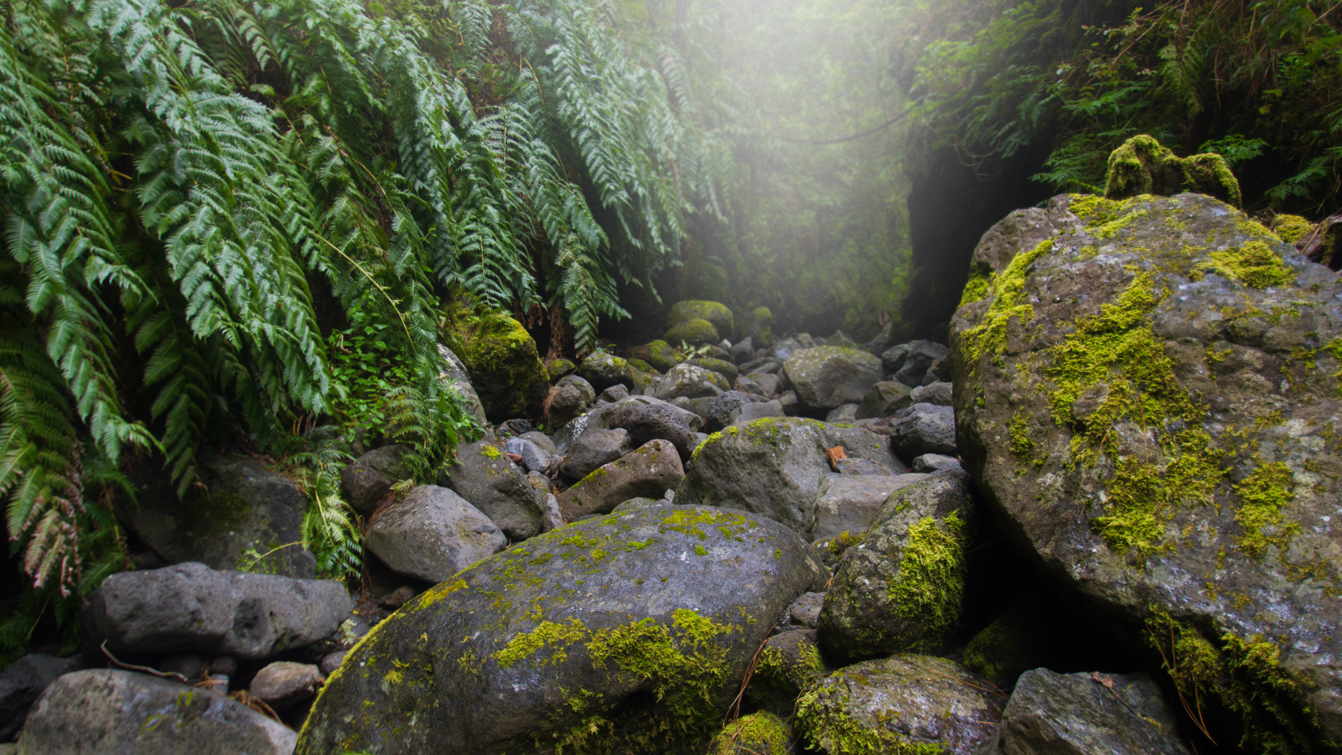
From there the path climbs briefly before a wide slope leads down. Shortly before that is the turnoff to the Mirador Espiglón Atravesado – a short detour with a fantastic view over the entire laurel forest area of Los Tilos. Then it goes steeply downhill through the Til tree groves (Ocotea foetens), through a last tunnel, past a weather station, to the car park of the visitor centre.
Laurel forest and nature: What you see along the way
The hike crosses two protected zones at once: the Las Nieves Nature Park in the upper part with pine forest and canal sections and the Los Tilos Biosphere Reserve in the descent through the Barranco del Agua. The 511 hectare area was recognised by UNESCO in 1983 as the first biosphere reserve in the Canary Islands.
In the laurel forest area on the descent, stink laurel (Til), Canary laurel, Barbusano and tree heather grow. The Rooting Chain Fern (“Woodwardia radicans”) grows over moist rocky areas with fronds up to 2.5 meters high. In the canal zone above, after the seventh tunnel, you can find the rare Lotus Pyranthus – fire trefoil with intense red-orange flowers.

Of the fauna, the laurel pigeon and turqué pigeon are the most impressive representatives in the laurel forest – both are among the rarest pigeon species in Europe. The Canary Chaffinch, a subspecies native to La Palma with a slightly darker colour, is regularly present in the pine forest section of the canal zone.
History of the canal system
The Nacientes de Marcos y Cordero are among the most abundant natural groundwater sources in the Canary Islands. They deliver around 10.1 Hm³ of water per year and supply large parts of northeast La Palma with drinking and irrigation water. In order to make this water usable, thirteen tunnels were dug into the rock around 1900 and a continuous canal was created – partly open-walled, partly carved into rock niches.
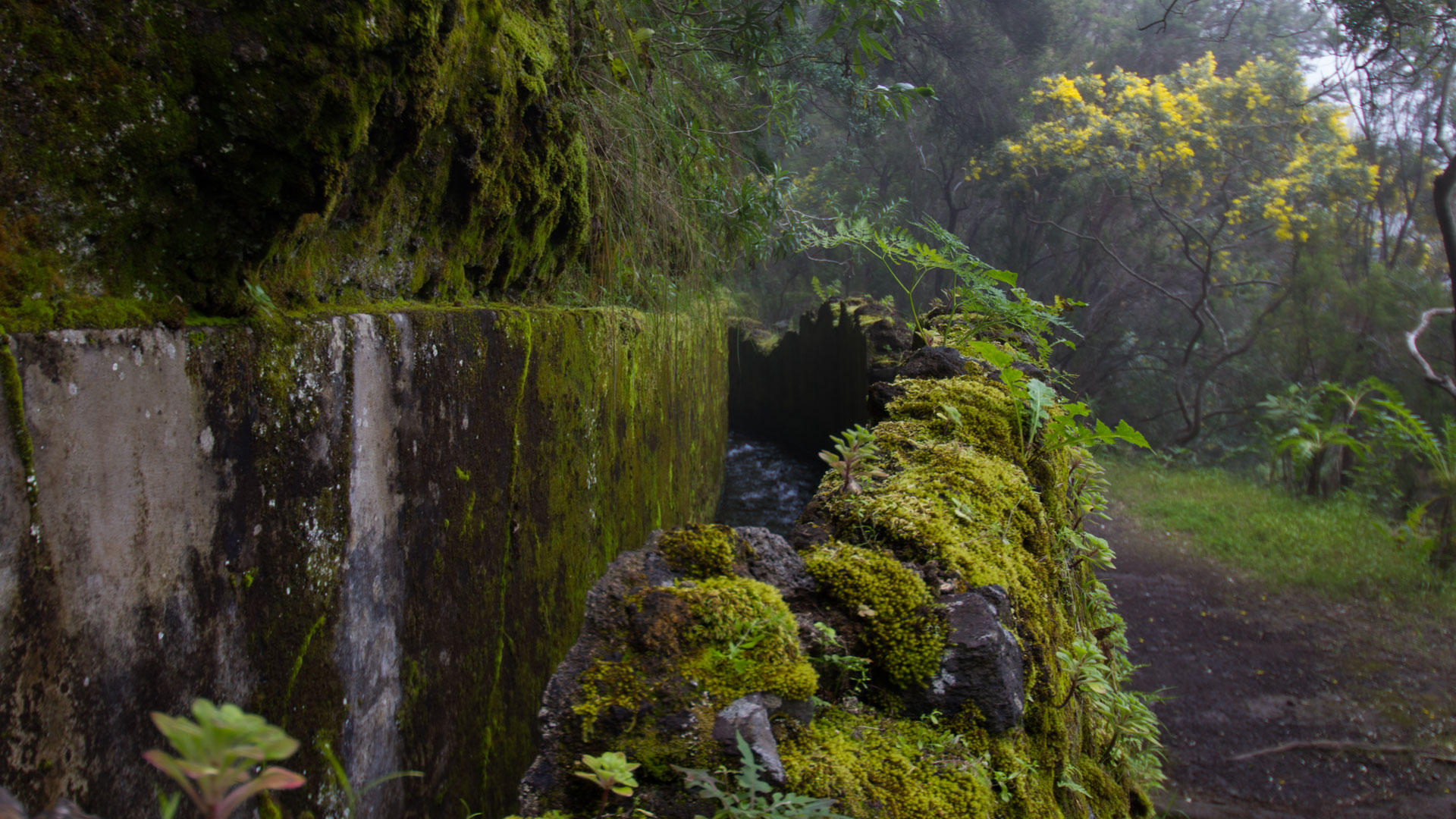
The system works without pumps or modern infrastructure – the canal runs as a gradient pipeline through the mountain side, through the tunnels and on into the communities’ irrigation canals below. An early 20th century hydrogeological system that is still fully operational today.
The Barranco del Agua Gorge — Geology and Personality
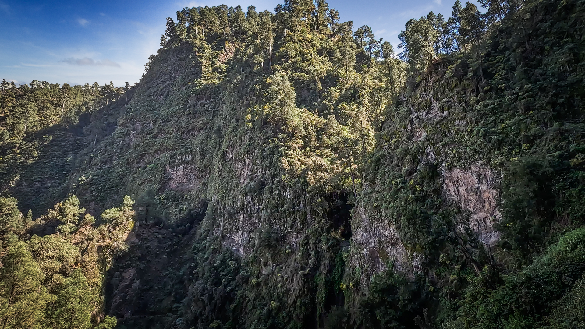
The Barranco del Agua is not just a descent path – it is a landscape in its own right. The gorge is one of the deepest cuts in the northeast of La Palma: vertical rock walls, overgrown with mosses, lichens and laurel plants, moist air that seems cool in midsummer and smells of earth and seaweed in winter.
The stream bed of the Barranco del Agua carries water year-round, and after heavy winter rain, it can quickly become hazardous. The gorge is then no longer a hiking trail. This is the reason why the hike should not be attempted in bad weather.
The wooden bridges over the narrowest parts of the Barranco del Agua are striking waypoints that show the quality of the route: they were built to open up a route that would simply be impassable without them. Between the bridges there are the cairns that guide you through the narrowest streambed passages. Anyone who follows them will get through.
The Cascada de Los Tilos — the waterfall in the laurel forest area — is near the end point at the visitor centre. After a tour through the gorge, the short detour to the waterfall is an almost perfect conclusion: little walking effort, high visual effect.
Best travel time
| Season | Character | Note |
|---|---|---|
| Spring (March–May) | Full water supply, lushest vegetation | Best time; Springs at their peak; Lotus Pyranthus blooms |
| Summer (June–Aug) | Cool in the forest, pleasant even on hot coastal days | Tunnel No. 12 carries less water; easier to walk on |
| Autumn (Sept–Nov) | Typical northeast clouds, mystical atmosphere | Mushroom season; Always have rain gear with you |
| Winter (Dec–Feb) | Highest water flow, fog possible | Dangerous in heavy rain in gorge sections; inform beforehand |
Equipment
| Footwear | Waterproof, ankle-high mountain boots – the path is wet in the gorge sections |
|---|---|
| Headlamp | Mandatory – the tunnels cannot be crossed without a headlamp |
| Helmet | Recommended in the narrow tunnels (falling rocks possible) |
| Rain protection | Required — get dressed in front of tunnel No. 12; water flows from the rock wall and ceiling |
| Water | You can replenish your supply at the Marcos springs (spring water) |
| Food | Full meal for 5-6 hours; no catering options on the route |
Combinable tours
| Tour | Data | Character |
|---|---|---|
| Cascada de Los Tilos | Short detour from the visitor centre | Waterfall in the laurel forest area; at the end of the hiking day |
| PR-LP 7: Pico de la Cruz – Los Sauces | 10.1 km, 598 m / moderate | High-altitude hike above the biosphere reserve as a follow-up tour |
| PR-LP 8: Pico de la Cruz – Barlovento | 14.4 km, 145 Hm / moderate | Descents through northeast forest; further Los Tilos region |
GPS track and 3D route planner
All data for the tunnel hike – distance, elevation profile, waypoints and GPX track – are available on the route page of the Sunhikes hiking portal.
To the route page on Sunhikes: Tunnel hike over the Marcos y Cordero springs to Los Tilos
Plan your own route with the 3D route planner from Sunhikes
Practical Tips
Emergency number: 112 – connects to any available network, even without coverage from your own provider. No mobile phone reception is expected in the laurel forest or in the tunnels. Share location before start.
You can top up your water supply at the Marcos Springs – the spring water is clean. The grill restaurant at the Los Tilos visitor centre offers a stopover option at the end of the tour.
Do not attempt this hike during heavy rainfall or strong winds. The gorge sections in the Barranco del Agua can quickly become dangerous in heavy rain. Find out at the visitor centre whether the route is currently accessible.
Note: Nature Conservation
The route is located in the Las Nieves Natural Park and in the UNESCO Biosphere Reserve Los Tilos. Strict rules apply regarding trail access, waste disposal, and fire prevention. The laurel forest is a sensitive, geologically ancient ecosystem – every step next to the path disrupts a soil structure that has taken thousands of years.
Frequently asked questions
How do I reach Casa del Monte?
Why do you need rain protection and a helmet?
How difficult is the descent through the Barranco del Agua?
What is the Los Tilos Visitor Centre?
This article is based on the on-the-ground knowledge of the Gequo editorial team – publishers of the Reisezeit hiking guides and operators of Sunhikes.com. Last updated: May 2026


