
Hike Pico de la Nieve to the Ermita de la Virgen del Pino: the southern caldera ridge
This hike is one of the most complete Caldera ridge routes in La Palma: 13.0 kilometers, 494 m ascent, 1,609 m descent, difficult. The path leads from the car park at the Pista del Pico de la Nieve over three waymarks – PR-LP 3, GR-131 and PR-LP 1 – along the ridge of the Caldera de Taburiente, past the petroglyph site Erita de los Guanches, over Punta de los Roques (2,085 m) with the Refugio refuge, continue via Pico de Corralejo and Pico Ovejas to the Reventón Pass and through pine forest downhill to the Ermita de la Virgen del Pino.
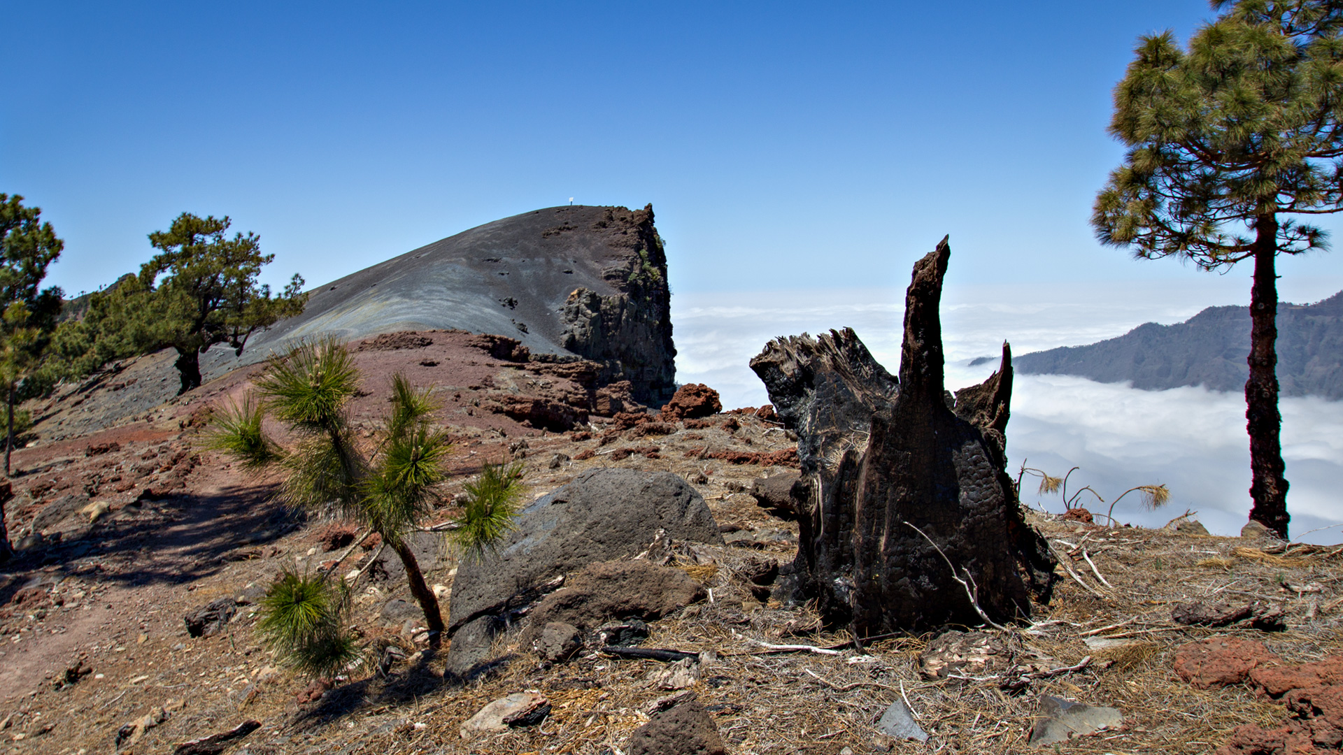
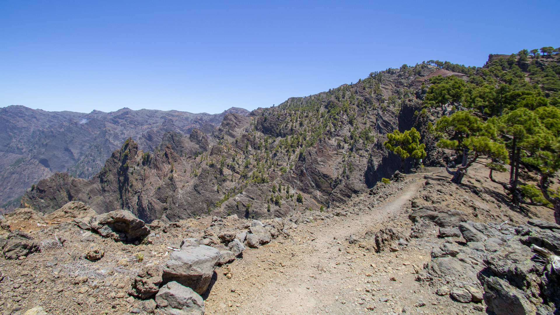
The route runs continuously on the caldera ridge with changing views on both sides: the interior of the caldera and the Aridane valley or the south side of the island. Steep and exposed sections must be overcome – surefootedness and vertigo are a prerequisite.
Route facts at a glance
| Route type | Distance (Pista Pico de la Nieve → Ermita de la Virgen del Pino) |
|---|---|
| Distance | 13.0 km |
| Elevation meter | 494 m ascent / 1,609 m descent |
| Highest point | 2,130 m |
| Lowest point | 910 m (Ermita de la Virgen del Pino) |
| Duration | 6:00-7:00 hours |
| Difficulty | difficult (exposed sections, sure-footedness, a good head for heights) |
| Starting point | Pista del Pico de la Nieve car park, LP-4 at km 22 — taxi recommended |
| End point | Ermita de la Virgen del Pino, Camino Virgen del Pino, LP-302 El Paso |
| Path marking | PR-LP 3 (yellow-white) + GR-131 (red-white) + PR-LP 1 (yellow-white) |
| Protection status | Caldera de Taburiente National Park |
| Equipment | Water, provisions, sun protection, wind protection, sturdy shoes |
Directions and logistics
Sunhikes tip: Park your rental car at the Ermita de la Virgen del Pino (Camino Virgen del Pino, LP-302 El Paso), take a taxi to the car park at the Pista Pico de la Nieve. This car park only holds 4 vehicles — arrive early or take a taxi directly from El Paso to LP-4.
How to get to the Ermita: From El Paso follow the LP-302, after about 1 km turn left towards Valencia. Signposted.
The route in detail
Section 1: Parking to ridge and Erita de los Guanches
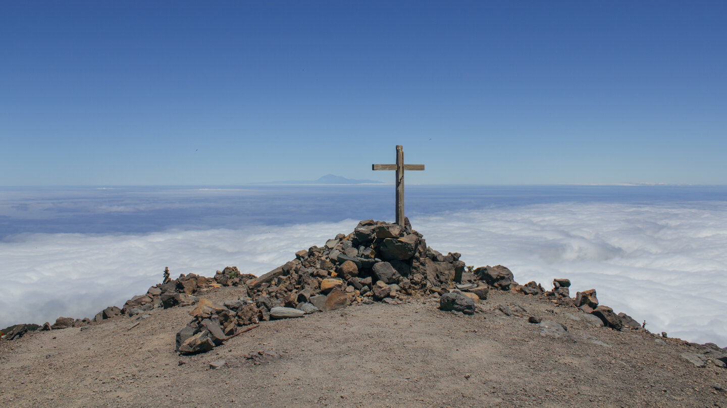
From the car park on the PR-LP 3 (yellow-white) uphill. After the first bends, leave the path towards Pico de la Nieve and continue straight on towards Refugio Punta de los Roques (signpost). The path winds uphill at a moderate incline over a fragrant carpet of pine needles. Neighboring islands La Gomera and Tenerife on the horizon.
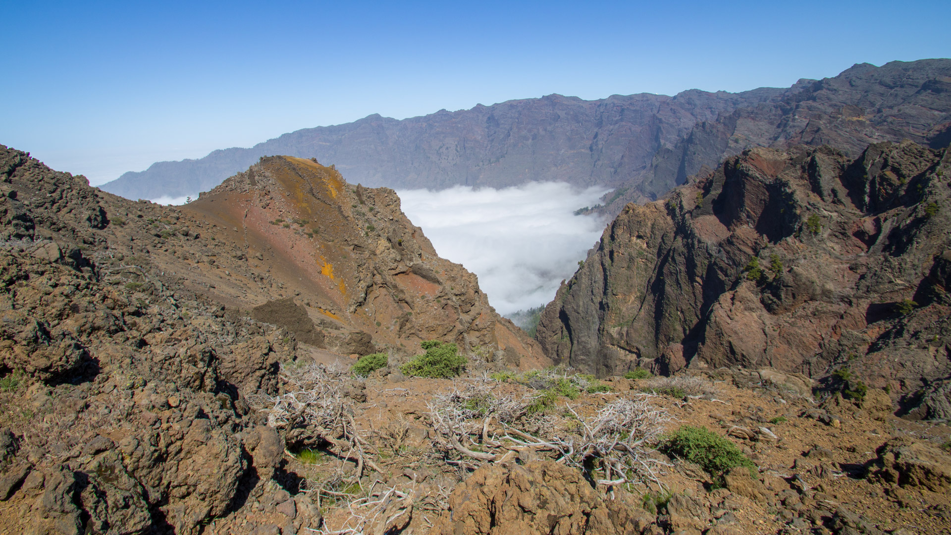
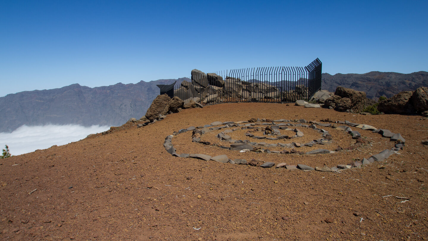
After a good quarter of an hour: the ridge of the Caldera de Taburiente. From the Degollada del Barranco de la Madera there is a spectacular view over the steep walls of the erosion crater. Then south on the GR-131 (red-white) over the Pico de la Veta towards Pico de la Sabina. On the way: the Erita de los Guanches petroglyph site - native engravings on smooth stone.
Section 2: Volcanic Dykes, Degollada del Rio, Punta de los Roques
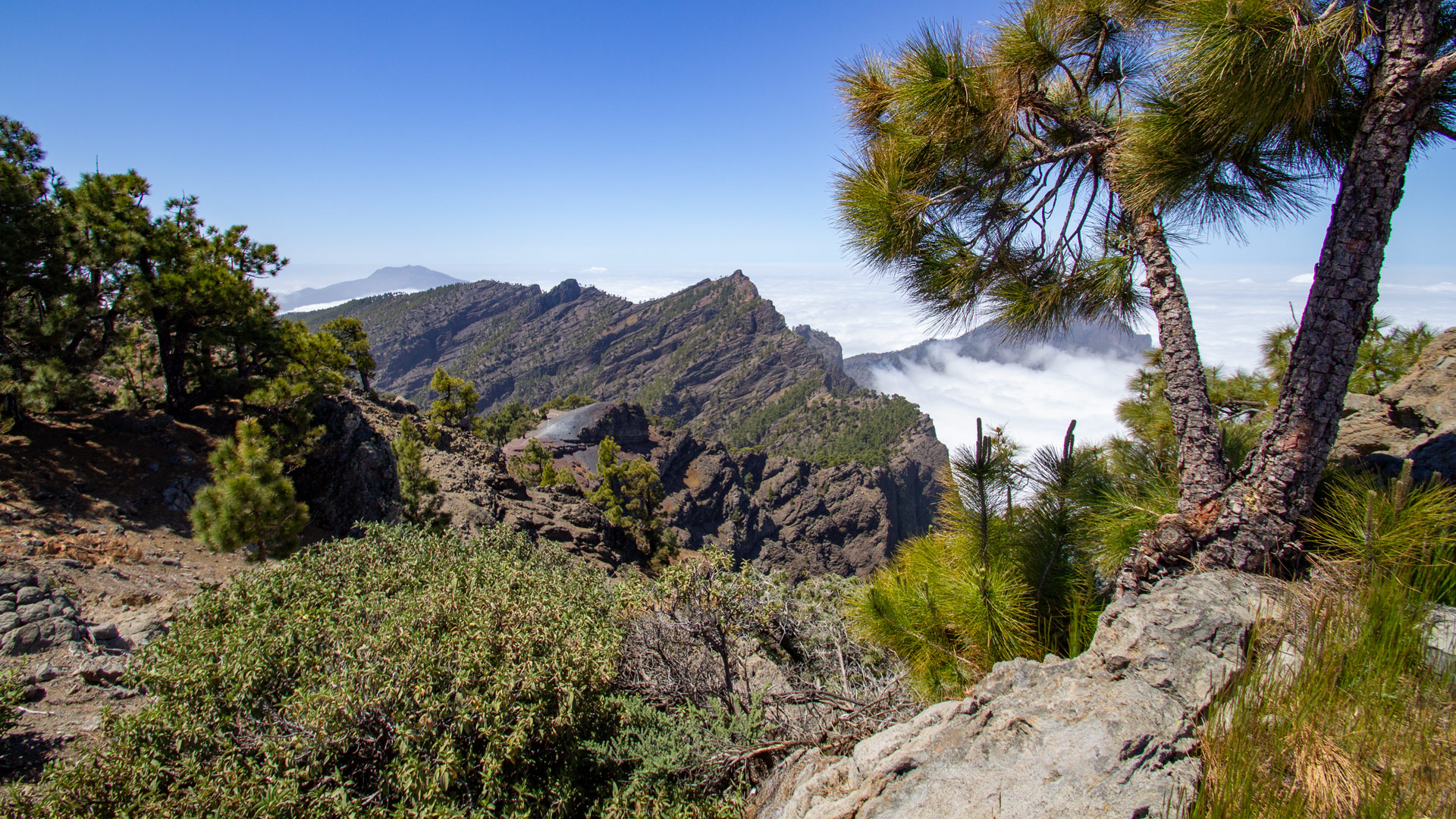
From Pico de la Sabina, the mountain path overcomes ascents and descents along the mountain ridge. You switch between the east and west sides. Impressive volcanic rock formations in black, red and yellow. Plate-like dykes made of igneous rock protrude from the slope. Then: steeper gradient to Degollada del Rio — an exposed saddle above the interior of the caldera.
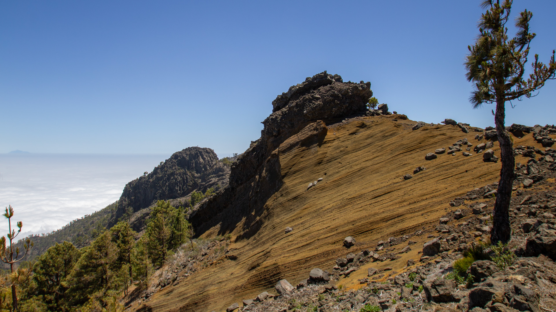
Steep climb to Punta de los Roques (2,085 m): natural viewpoint with a view of the interior of the caldera, the Cumbrecita, the Pico Bejenado and up to the observatory at the Roque de los Muchachos. Further down: the Refugio Punta de los Roques with wooden cots, electricity, light and rainwater supply.
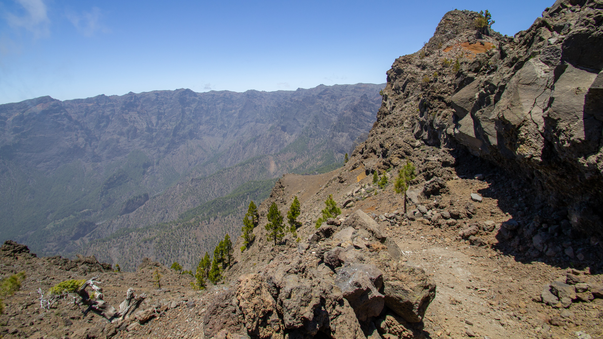
Section 3: Pico de Corralejo and Pico Ovejas
Continue south along the mountain ridge to the Pico de Corralejo. The hiking trail skirts the summit on the west side. Grandiose views to the south: over the Cumbre Nueva to the volcanic cones of the Cumbre Vieja. Then the last major peak: Pico Ovejas (1,854 m) - a gentle protrusion from the terrain. The Pico Bejenado is clearly visible in the south of the caldera.
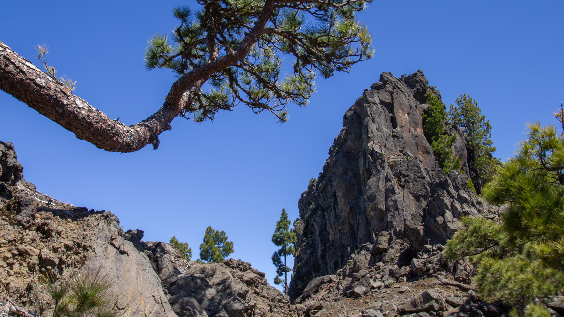
From Pico Ovejas the path descends over the mountain ridge through sparse pine forest, past tree heather and cistus to the Reventón Pass. Past the Topo de las Viejas, where the path joins a dirt road that leads to Cumbre Nueva.
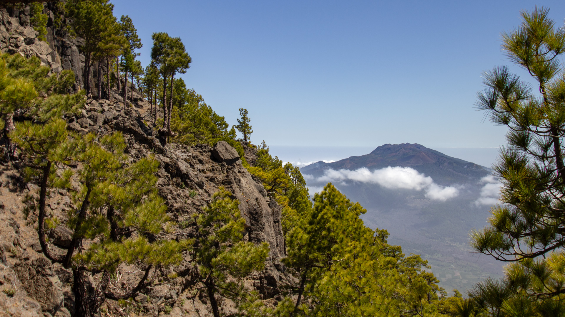
Section 4: Old Royal Way (Camino Real) to the Ermita de la Virgen del Pino
At the Reventón pass on the Cumbre Nueva, the old royal road PR-LP 1 (yellow-white) turns right towards Ermita de la Virgen del Pino. It leads downhill on a coarsely paved, steep serpentine path. As you progress, the gradient in the pine forest flattens out. At the destination: the pilgrimage church Ermita Virgen del Pino next to the symbolic around 800 year old pine tree.
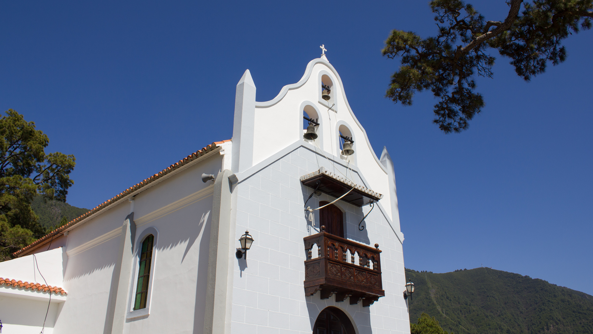
The Ermita de la Virgen del Pino - 800-year-old pine
The Ermita de la Virgen del Pino is one of the most important pilgrimage churches in La Palma. It stands at the base of an ancient pine tree estimated to be around 800 years old — one of the oldest known Canary Island pine trees on the island. The tree was sacred to the Benahoritas: it is believed that, according to legend, the pine tree is believed to be the site where the Virgin Mary appeared, leading to the chapel's construction here.
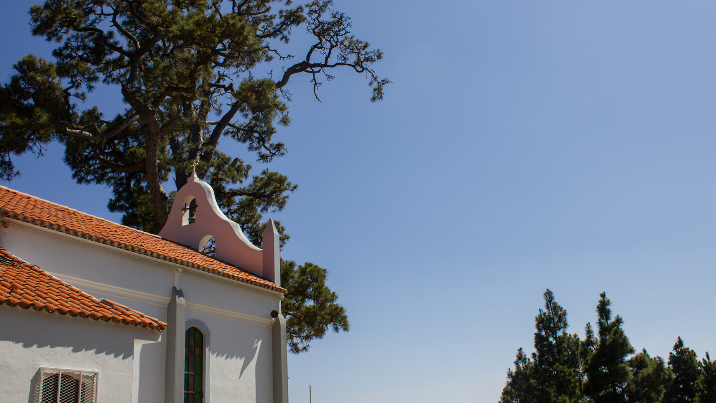
The Ermita is a perfect end point for hikers: after a long day on the Caldera ridge, through exposed passages and steep descents, you end up in a place that has been considered a resting place for centuries. The shadow of the old pine, the quiet chapel and the gardens around it - this is a different La Palma than the one at the summit.
Punta de los Roques and the Refugio
The Refugio Punta de los Roques at 2,085 meters is the only place to stay overnight on this route. It offers wooden beds, electricity, light and a rainwater supply. If you want to split the route into two days, you can stay overnight here: Day 1 from the car park to the Refugio, Day 2 from the Refugio to the Ermita. Reservation required with the National Park Administration.
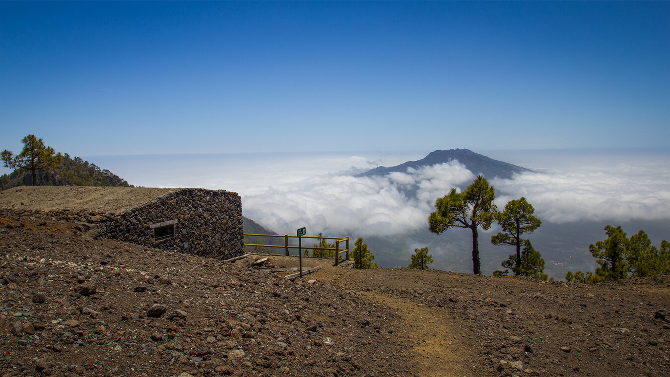
The Punta de los Roques viewpoint is one of the most complete caldera panoramic points: you can see the interior of the caldera with the Playa de Taburiente far below, the Cumbrecita rock pinnacles, the Pico Bejenado and on the horizon the observatory at Roque de los Muchachos. This gives you a complete panoramic view of the Caldera in a single glance.
Geology: Dykes, Lapilli and the Caldera Ridge
The caldera ridge between Pico de la Sabina and Pico Ovejas is a geology gallery. Plate-like dykes made of solidified magma protrude vertically from the ridge - veins through which lava pushed to the surface millions of years ago. The colour variations from black to red to yellow show different oxidation states of the basalt. Lapilli fields on the open flanks are ejecta products of older eruptions.
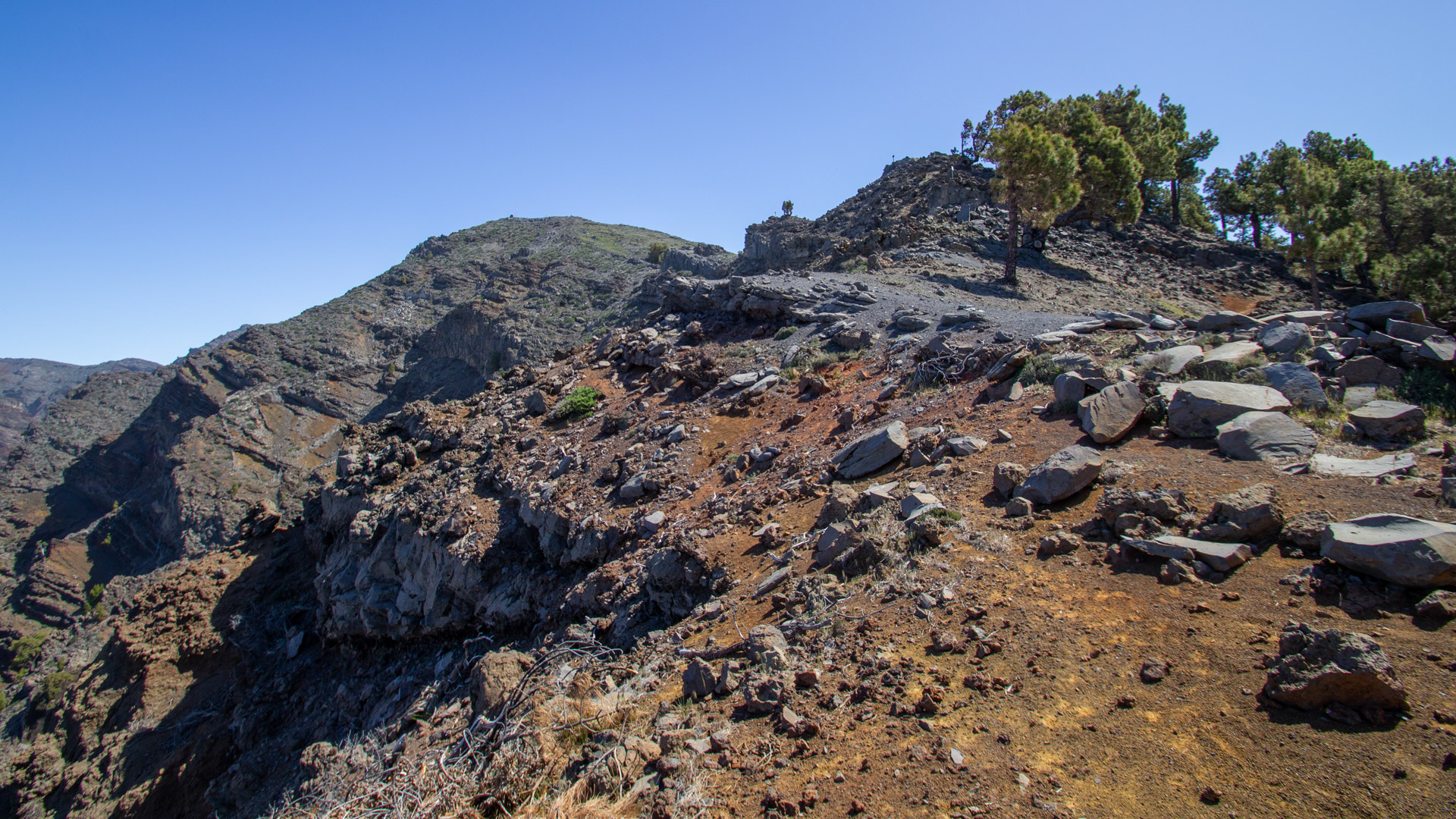
The Degollada del Rio is a tectonic cut: the ridge here is so narrow and cut so deeply that you can look down on both sides of the caldera at the same time. This is not a textbook viewpoint, but a physical experience — the caldera slopes away to the left, and the terrain slopes away to the west to the right.
Best travel time
| Season | Character | Note |
|---|---|---|
| Spring (March-May) | Clear visibility, Tajinaste blooms | Optimal conditions; Ridge easy to walk on |
| Summer (June–August) | Mostly cloud-free on the ridge | Hot; start early; Plan 6-7h |
| Autumn (Sept–Nov) | Best panoramic light | Most popular season; Book permit early |
| Winter (Dec-Feb) | Frost or snow possible | Only in safe conditions; exposed areas dangerous with ice |
Equipment
| Footwear | High mountain boots — exposed sections and paved descent |
|---|---|
| Water | For 6–7 h; rainwater supply may be available at the Refugio, but don't rely on it |
| Wind protection | Caldera ridge is exposed; gusts possible |
| Navigation | GPS track essential — three trail markings, junctions must be identified |
| Trekking poles | Recommended on the long descent via the Royal Path |
Combinable Hikes
| Tour | Data | Character |
|---|---|---|
| Circular Hike Pico de la Nieve – Erita de los Guanches | 5 km, moderate | Shorter alternative from the same starting point |
| Hike Pico Bejenado from Cumbrecita | 8.9 km, moderate | Next day from El Paso; same region |
| Caldera Ridge Trail Pico de la Nieve → Roque de los Muchachos | 20.5 km, difficult | Great ridge route as an alternative |
GPS track and 3D route planner
To the route page on Sunhikes: Hike Pista Pico de la Nieve – Ermita de la Virgen
3D route planner from Sunhikes
Practical Tips
Emergency call 112. Patchy mobile phone reception on the Caldera ridge. Inform someone of your planned route before setting off. The Refugio Punta de los Roques — reservation required through the National Park Administration.
Note the change in route markings: PR-LP 3 → GR-131 → PR-LP 1. The change from GR-131 to PR-LP 1 at Reventón Pass is the most critical — preload GPS track.
If you split the route over two days: Day 1 to the Refugio (approx. 7 km), Day 2 from the Refugio to the Ermita (approx. 6 km). This makes the ridge route also suitable for hikers of moderate fitness.
Note: National Park
The route lies entirely within the Caldera de Taburiente National Park. Road restrictions, garbage collection, fire ban. No wild camping outside the refuge in the national park.
Frequently asked questions
How do you get to the Ermita de la Virgen del Pino?
What are the exposed sections?
Can you stay overnight at the Refugio?
What is the old royal route PR-LP 1?
This article is based on the on-site knowledge of the Gequo editorial team - publisher of the Reisezeit hiking guides and operator of Sunhikes.com. As of: May 2026


