
GR-131 Stage 3: Ruta de los Volcanes — El Pilar to Faro de Fuencaliente
The third and final stage of the GR-131 El Bastón is the most famous hike in La Palma: the Ruta de los Volcanes from Refugio El Pilar to Faro de Fuencaliente. 22.8 km, difficult, 8:30 – 10:30 hours. The route runs along the summit ridge of the Cumbre Vieja — a history book of lava and ash — past the island’s most striking volcanoes.
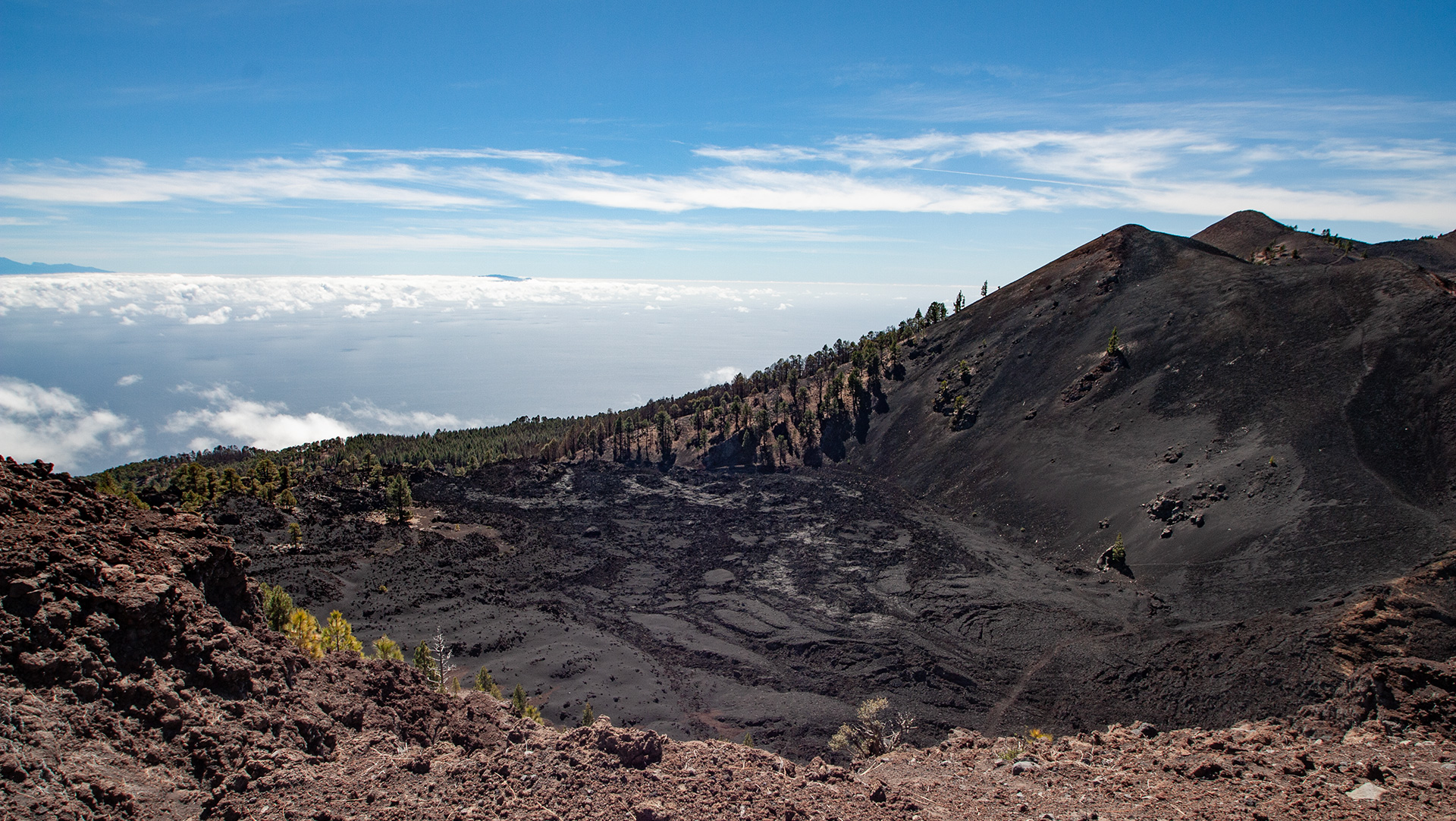
Highlights: The Hoyo Negro crater (1949 eruption). The detour to the colorful crater Duraznero. The peaks of Deseada (1,945 m) with a view of Tajogaite. The reddish volcano Martín de Tigalate. The Salinas de Fuencaliente. The end at Faro de Fuencaliente – the southernmost point of La Palma.
Starting point: Refugio El Pilar, LP-301 (1,455 m). End point: Faro de Fuencaliente, southernmost tip. Arrange return transport in advance — it is a 50 km drive between Faro and El Pilar.
Route facts at a glance
| Route type | One-way route (Refugio El Pilar → Faro de Fuencaliente) |
|---|---|
| Distance | 22.8 km |
| Difficulty | strenuous (alpine terrain, good base fitness, sure-footed, head for heights) |
| Starting point | Refugio El Pilar, LP-301, 1,455 m |
| End point | Faro de Fuencaliente, approx. 20 m |
| Trail marking | GR-131 (red-white) |
| Protected area | Cumbre Vieja Nature Park |
| Duration | 8:30 – 10:30 hours |
| Equipment | water, food, windproof jacket, sturdy footwear, sun protection |
Directions and Logistics
Refugio El Pilar: LP-301 between El Paso and Fuencaliente. Faro de Fuencaliente: LP-207, southernmost tip of La Palma. Return: taxi or a second car at the lighthouse. The route requires early coordination — taxi from Fuencaliente to El Pilar takes approx. 40 min. Start no later than 7:00 am.
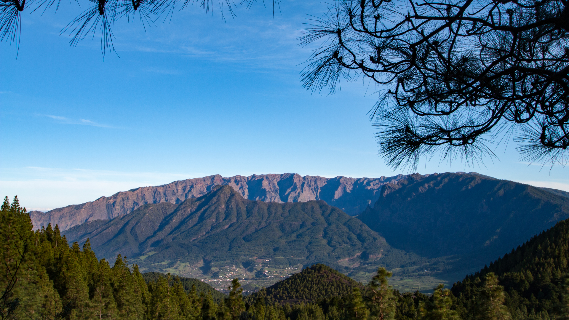
The route in detail
El Pilar to Hoyo Negro (km 0-7)
The start is in the El Pilar recreation area at 1,455 m. The red and white marked GR-131 initially leads uphill in gentle curves through pine forest. Canarian pines, gorse and amagante accompany the path. The next 14 km through the Cumbre Vieja Natural Park have no facilities — this stage requires you to be completely self-sufficient.
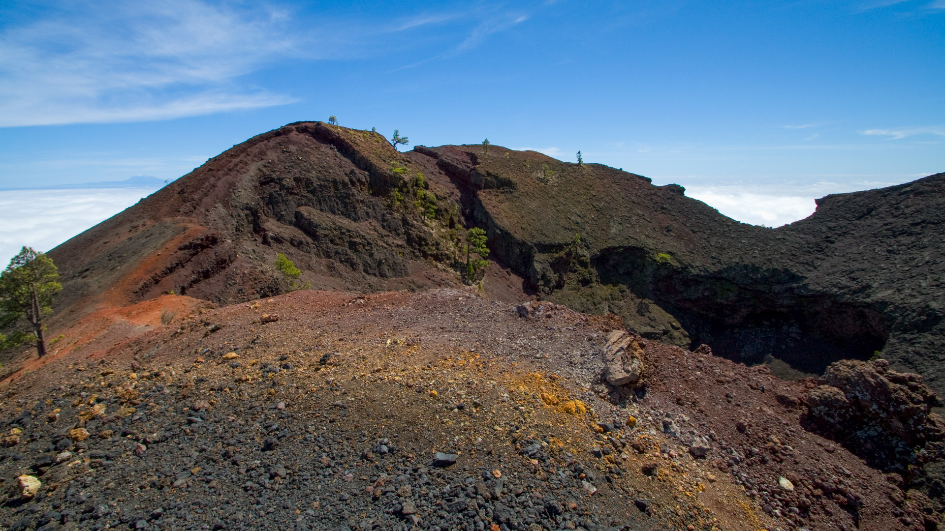
The actual core of the volcano route begins with the climb to Hoyo Negro. The crater, part of the 1949 Juan eruption, displays impressively layered brown tones. From the viewpoint: View of Duraznero and Deseada, on a clear day as far as El Hierro. The forest is thinning out. Lapilli and volcanic sand take over. Tajinaste, palm thyme and pajonera grass set bright accents.
Duraznero detour and Deseada summit (km 7-12)
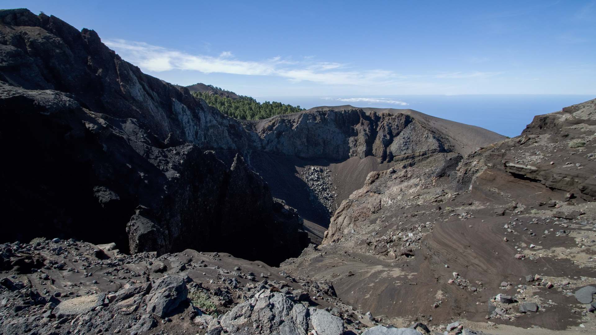
The official GR-131 bypasses the Duraznero crater – but sure-footed hikers choose the side path: through loose lava rock up to the colorful crater. From there to the Deseada II summit (1,933 m). Shortly before the summit post: the young Tajogaite volcano – as well as the huge lava flows that poured into the Aridane Valley in 2021 and flowed all the way to the sea.
Descent via Volcán Martín to Fuente de los Roques (km 12–17)
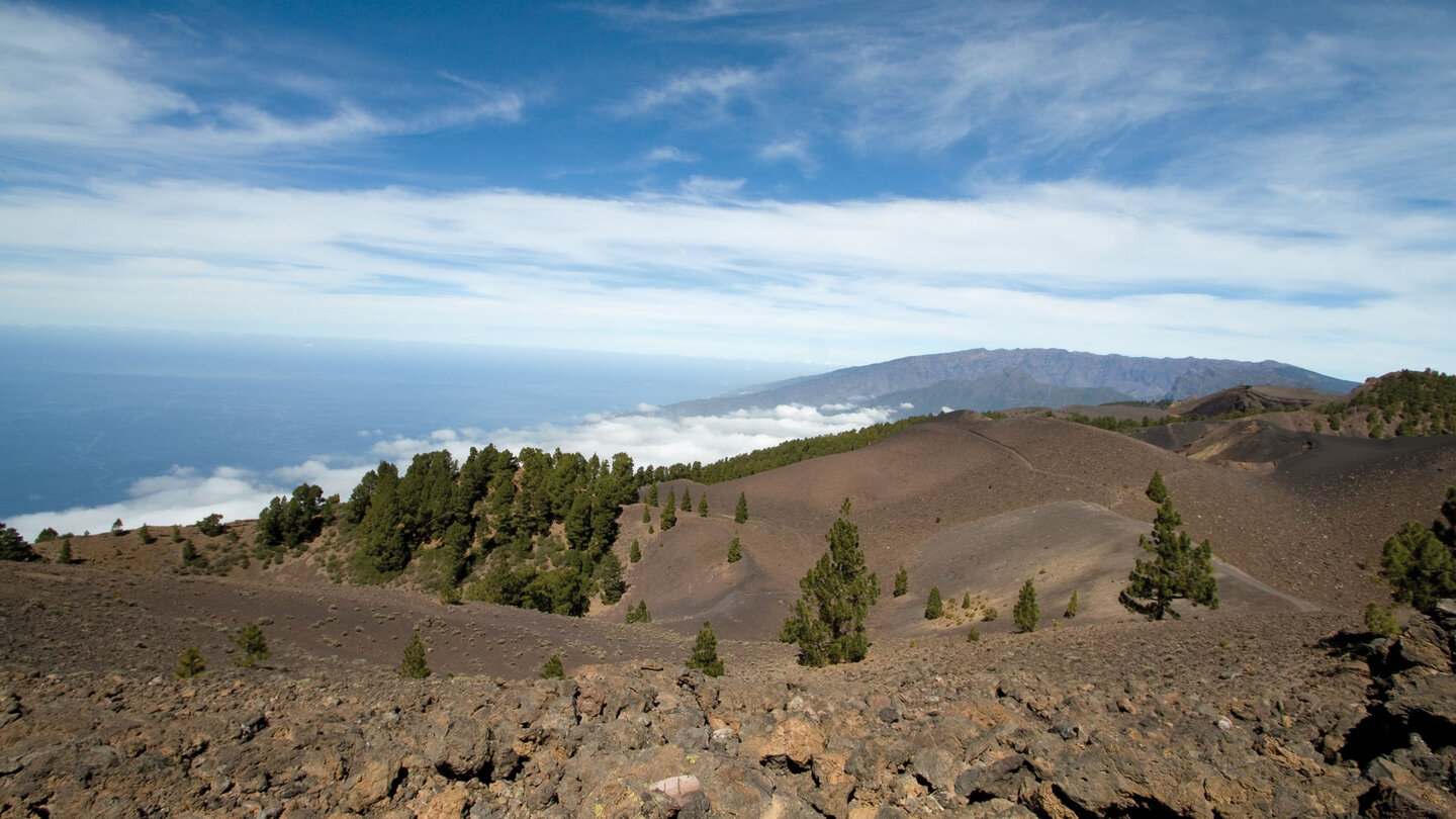
A closed lapilli crater basin of El Charco begins the long descent. Past the reddish Martín de Tigalate volcano. The Fuente de los Roques: a rest area in the pine forest, drinking water not reliably available. Now into dry pine forests. Cistus and Canary buckthorn characterize the picture.
Via Los Canarios to Faro de Fuencaliente (km 17-22.8)
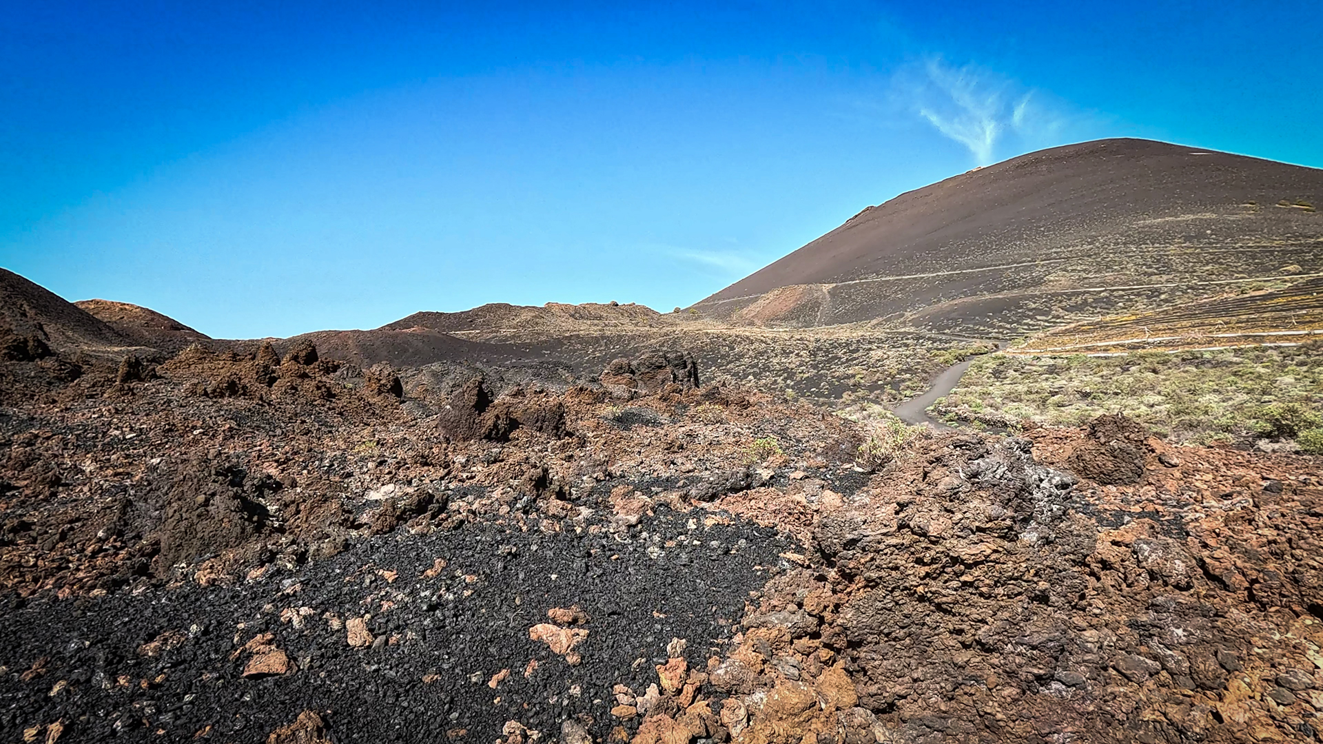
Via Los Canarios continue to the visitor centre of the Fuencaliente volcanoes, past the San Antonio volcano. At the Teneguía volcano the scenery changes: vineyards, black lava fields and salt-tolerant plants. Then the Faro de Fuencaliente – the old lighthouse from 1899 and the new one from 1984. At the destination: a journey from the sea, over fire and peaks, back to the Atlantic.
The Ruta de los Volcanes: a living history book
Each volcano on this route has a date: the Hoyo Negro (Juan eruption 1949), the Duraznero (1949), the Deseadas (older), the Volcán Martín de Tigalate (1646), the San Antonio (1677), the Teneguía (1971), and the Tajogaite, which is briefly glimpsed from the Deseada (2021). Together, these eruptions form a chronology of La Palma’s volcanic history over almost 400 years.
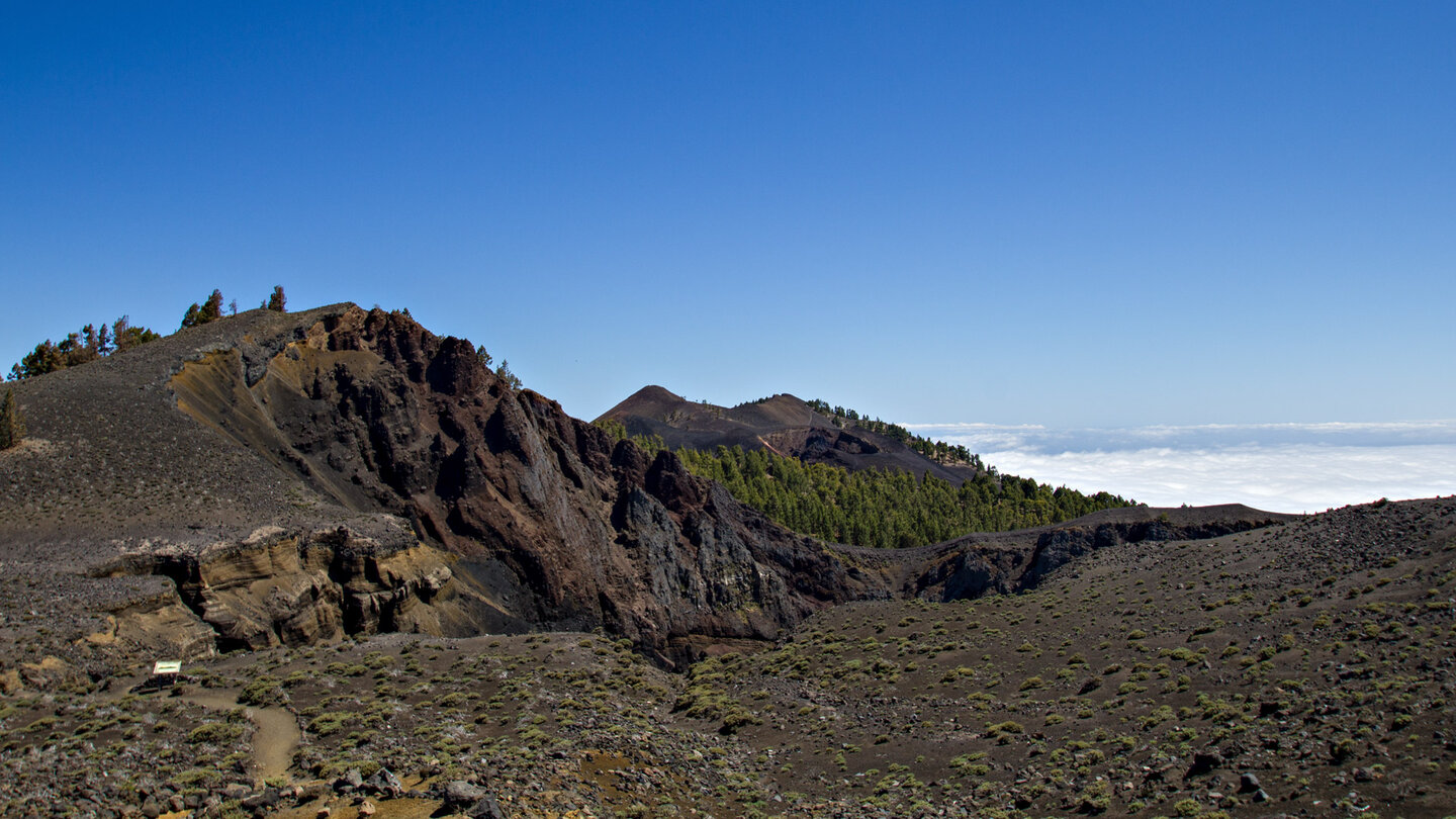
The vegetation tells the same story in biological time: on the oldest lava fields there are dense pine forests, on the 1949 fields there are sparse pioneer plants, on the 1971 Teneguía flanks there is hardly any vegetation, on the 2021 Tajogaite there is none at all. This is the Ruta de los Volcanes — a route through time.
The Faro de Fuencaliente: end and beginning
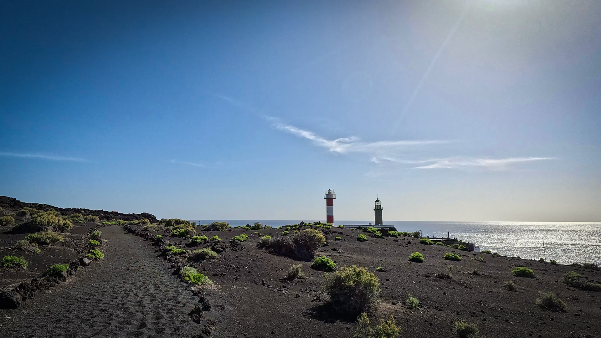
The Faro de Fuencaliente lighthouse is the most famous landmark on the southern tip of La Palma. The old Faro from 1899 is an industrial monument with a small museum. The new lighthouse from 1984 stands next to it. Behind the towers: the Salinas de Fuencaliente — radiant white seawater salt pans in dark lava. The traditionally artisanal sea salt (Sal Marina Teneguía) is available in the island’s supermarkets.
Best travel time
| Season | Character | Note |
|---|---|---|
| Spring (April-June) | Tajinaste in bloom; clear distant view | Best season — flower fire + panorama |
| Summer (July–August) | Lapilli sections hot; Pine forest cool | Start very early |
| Autumn (Sept–Nov) | Best distant view; Deseada panorama optimal | Most popular season |
| Winter (Dec–Feb) | Pleasant on lower sections | Upper sections cooler; Windbreak |
Accommodation: El Paso and Tazacorte — Clariso
El Paso is close to El Pilar. Holiday homes in El Paso on clariso.eu — Holiday homes El Paso. Ideal as a base for El Pilar.
Combinable tours
| Tour | Data | Character |
|---|---|---|
| GR-131 Stage 2: Roque – El Pilar (Ruta de la Crestería) | 26.1 km, difficult | Previous stage — Ridge route |
| Circular hike San Antonio & Teneguía volcanoes | 13.7 km, moderate | Deepening of the southern tip volcanoes |
| Fuente de los Roques → Volcán Martín | 10.2 km, moderate | Section of the route as an independent one Tour |
GPS track and 3D route planner
GPS track mandatory – no coverage for 14 km. The Duraznero detour is marked in the track. With the free 3D route planner you can plan the entire GR-131 traverse – directly in the browser, without an app.
To the route page on Sunhikes: GR-131 Stage 3 Ruta de los Volcanes
3D route planner from Sunhikes – customize and combine routes
Practical tips
Emergency call 112. Early start no later than 7:00 a.m. No supply El Pilar–Fuente de los Roques (14 km) — take water for at least 6 hours. Coordinate the return trip from Faro in advance. Duraznero detour: only in good visibility conditions and sure-footed.
Note: Nature Park
Completely within the Cumbre Vieja Natural Park. Road restrictions, garbage collection, fire ban.
Frequently asked questions
What is the Camino de los Palos Jincados?
Can you skip the Duraznero detour?
The Tajogaite from the Deseada
From the summit of Deseada II (1,933 m), Tajogaite is clearly visible for the first time on this route – the youngest volcano in the Canary Islands, erupted on September 19, 2021. From Deseada you can see the crater of Tajogaite and the huge lava flows that poured west into the Aridane Valley and flowed to the sea. This moment — looking from a historic volcano to the newest one — is the most emotional point of the Ruta de los Volcanes.
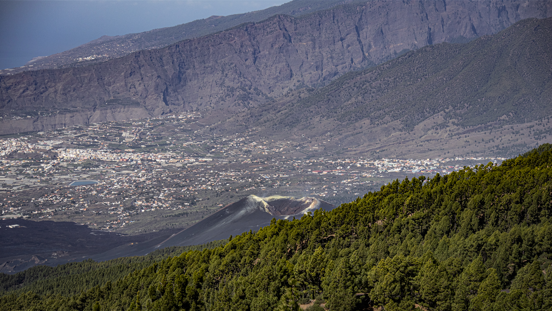
The Tajogaite formed on the western slope of the Cumbre Vieja and was 1,122 meters high. It is not directly accessible on the Ruta de los Volcanes itself – hikes to Tajogaite are only possible with official permission and a certified guide (approx. 3 hours, approx. 6 km). Boat tours from Tazacorte harbour show the new coastline that the lava flow poured into the sea.
Pine forest as a companion – and as a break
The Canary Islands pine (Pinus canariensis) is not just an aesthetic companion on this route – it is naturally fire-resistant. This type of pine tree has an extraordinary ability: it survives forest fires by immediately sprouting new bark from the bark after a fire. This ability is called resprouting. On the Ruta de los Volcanes you can see pine trees that grew through historic lava flows or germinated on cooled lava fields. This is evolutionary adaptation to an active volcanic island.
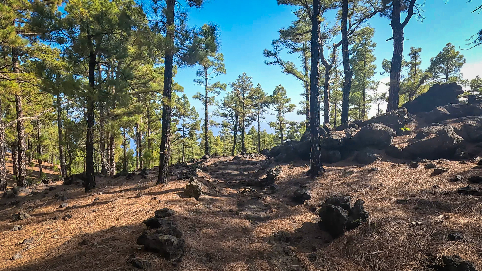
The pine forest sections of the Ruta de los Volcanes – especially the beginning from El Pilar and the end from Fuente de los Roques – are the shady, relaxing phases between the open lava and high mountain sections. If you know the route, plan the pine sections as eating and drinking breaks: it’s cooler, the ground is softer, the air is more resinous. Then back out into the lava.
A practical tip for logistics: Since the start (El Pilar) and destination (Faro Fuencaliente) are approximately 50 km apart, planning a second vehicle or a taxi is essential. If you are travelling from Santa Cruz or Los Llanos, you can combine: park your car at Faro, take a taxi to El Pilar, hike, return by car from Faro. The taxi from Los Canarios to El Pilar costs around 30-35 EUR and takes around 40 minutes.
This article is based on the on-the-ground knowledge of the Gequo editorial team – publishers of the Reisezeit hiking guides and operators of Sunhikes.com. Last updated: May 2026


