
Los Tilos: Hiking in the laurel forest of the biosphere reserve
Los Tilos is the most significant laurel forest area on La Palma and one of the best-preserved laurel forests in the entire Macaronesia region. Nestled in the heart of Los Tilos, the Barranco del Agua is an absolute must-visit for nature lovers on La Palma: lush vegetation, moist gorge atmosphere, the Cascada de los Tilos waterfall and the starting point for the legendary Marcos y Cordero tunnel hike.
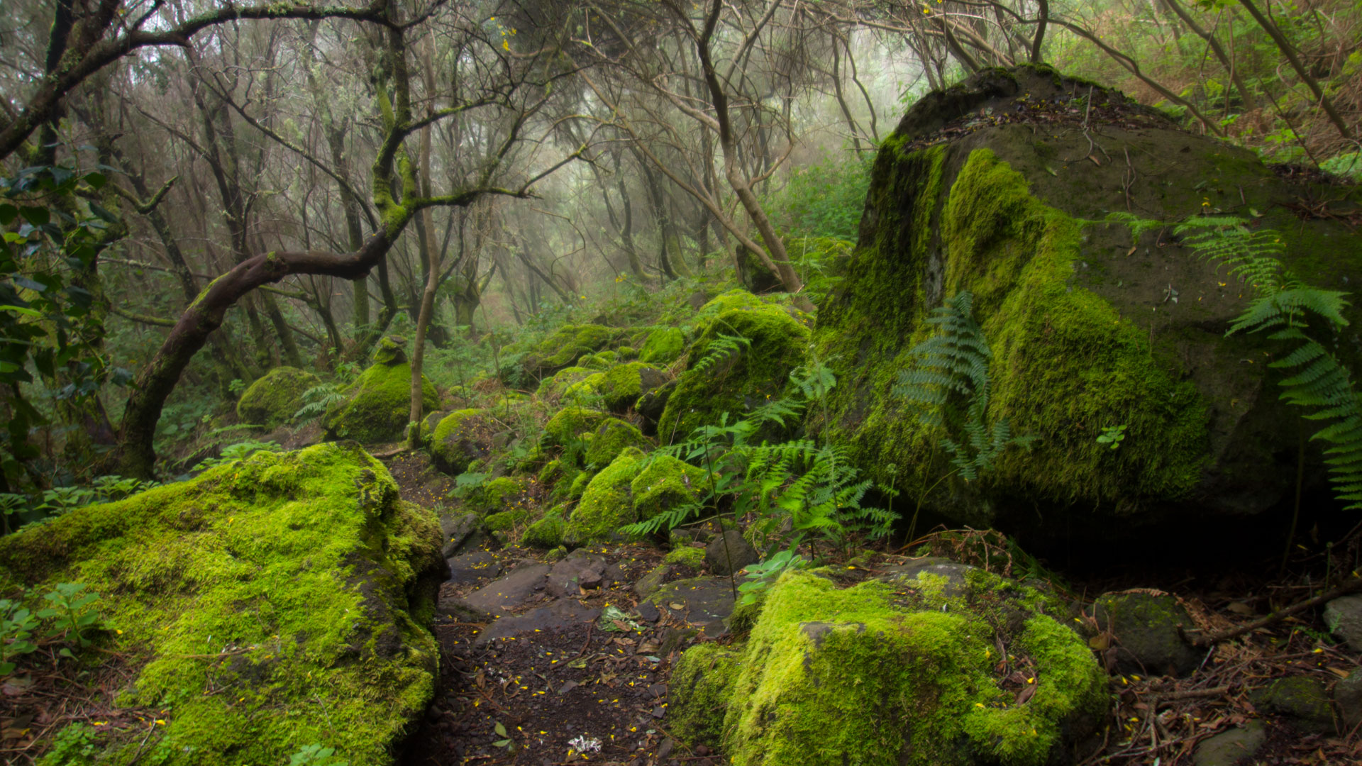
Hikes in Los Tilos vary in both length and difficulty. The core area around the Barranco del Agua with the visitor centre, the Cascada de los Tilos and the water canal walk is accessible to almost all visitors. The big tours – especially the Tunnel hike Marcos y Cordero – require fitness and experience.
Los Tilos: At a Glance
| Protection Status | UNESCO Biosphere Reserve, Nature Reserve |
|---|---|
| Location | Barranco del Agua, San Andrés y Sauces |
| Vegetation | Laurel forest (Laurisilva): Laurel, Barbusano, Fire tree, Til |
| Core Route | Barranco del Agua: Visitor Centre, Cascada de los Tilos, Water channel |
| Featured Trail | Tunnel hike Marcos y Cordero → Los Tilos (W-03): 11.1 km, strenuous |
| Visitor Centre | Casa del Monte — Information, Exhibition, Parking |
| Best Time | Year-round; winter/spring for maximum water flow |
Directions
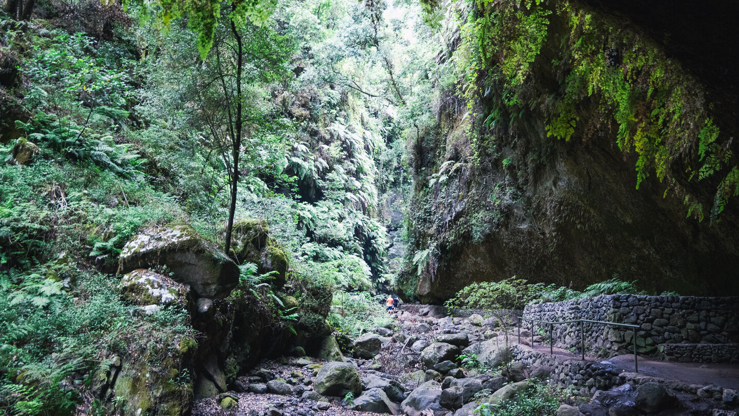
Los Tilos is located in the Barranco del Agua, municipality of San Andrés y Sauces, northeast coast. Take the LP-1 towards Los Sauces, then follow the signs for Los Tilos into the valley. The Casa del Monte visitor centre features a car park at the entrance to the valley. The road into the valley is narrow – drive slowly.
Barranco del Agua: the core route
Visitor centre to Cascada de los Tilos
From the visitor centre, follow the marked path into the valley. The Barranco del Agua has water all year round – one of the few streams on La Palma that never dries up. The vegetation becomes denser with every step: Canary laurel (Laurus novocanariensis), Barbusano (Apollonias barbujana), Fire tree (Myrica faya), Til (Ocotea foetens). The tree trunks are covered with lichens and mosses – a sign of the constantly high humidity.
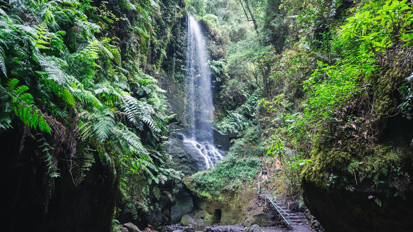
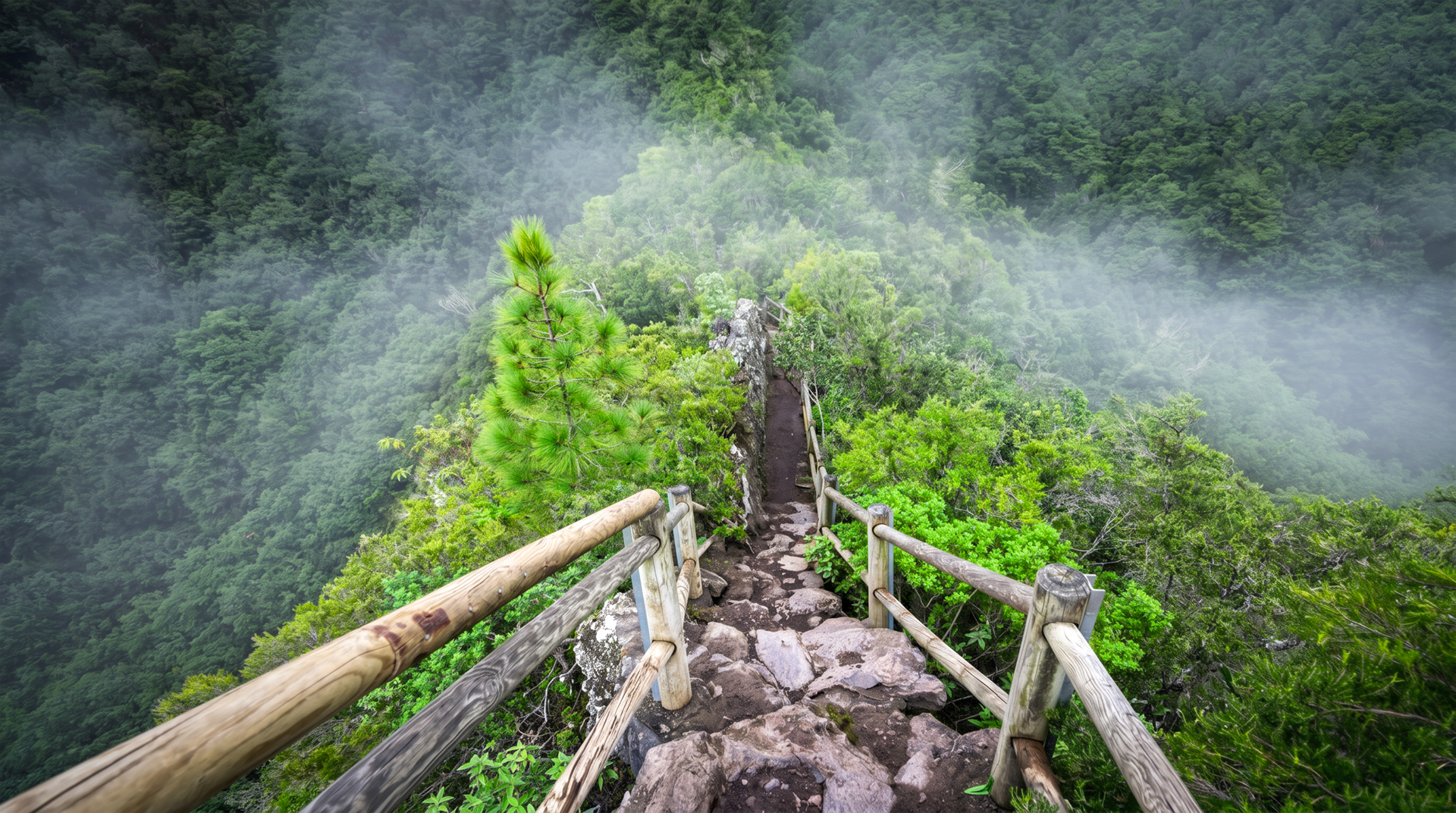
After approx. 1.5 km: the Cascada de los Tilos. The waterfall cascades over a natural basalt step into a wet gorge. A staircase leads to the viewpoint. The interplay of green moss, cascading white water, and dark basalt cliffs makes for one of the most striking natural sights on the northeast coast.
Water canal and laurel forest walk
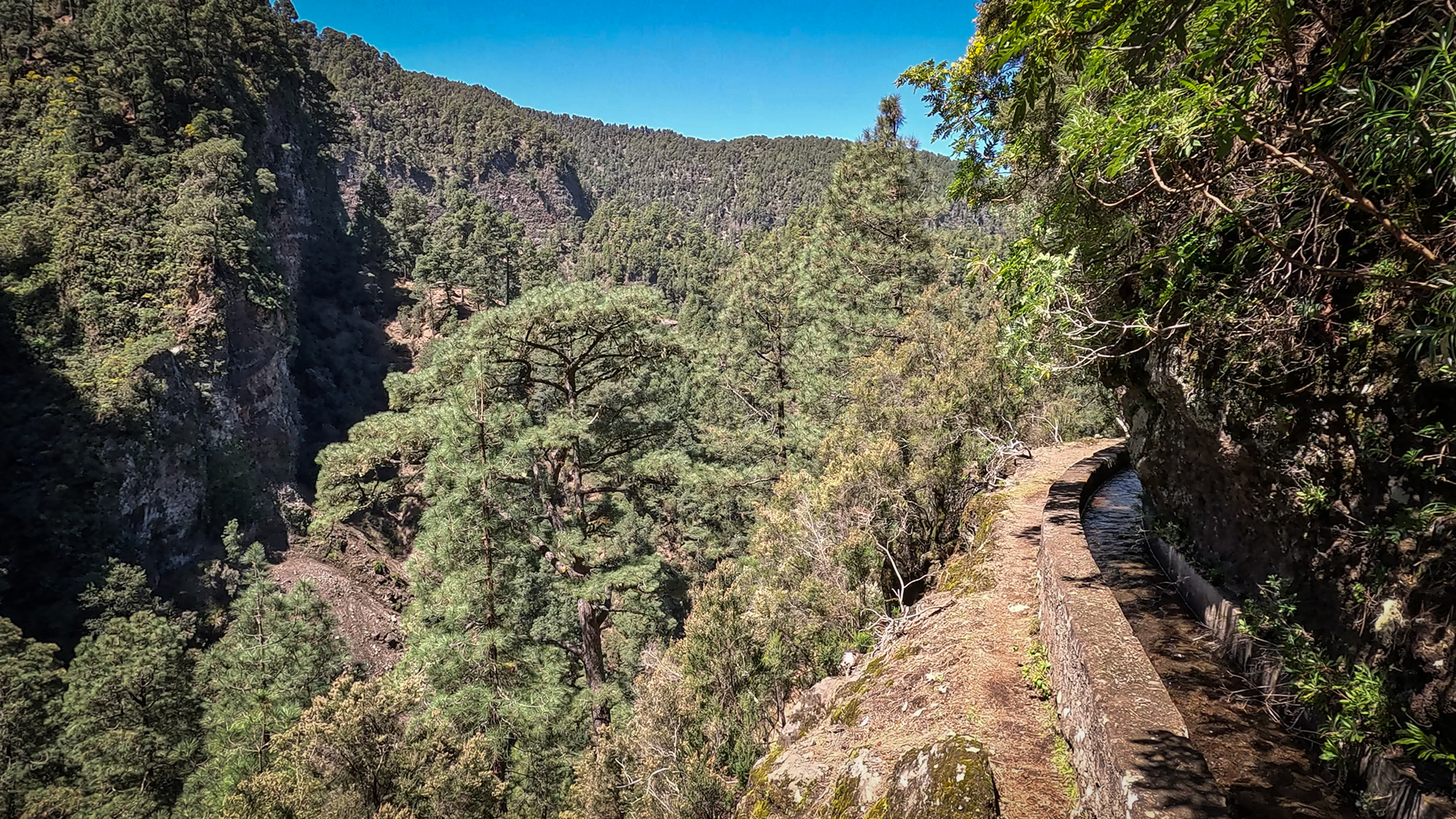
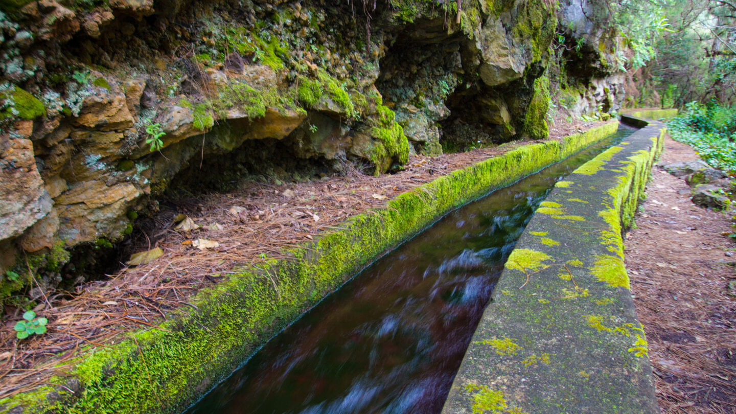
An ancient water canal (acequia) runs alongside the trail and carries Barranco water to the agricultural lands of the east coast. You can explore the laurel forest at a relaxed pace along a gentle path following the canal – one of the most pleasant hiking passages on La Palma, almost flat, shady, cool, with the sound of running water.
What is a laurel forest?
The laurel forest (Laurisilva) is a relict ecosystem dating back to the Tertiary period – a tropical-subtropical deciduous forest that covered large parts of the Mediterranean region and Europe millions of years ago. Due to climate change and ice ages, it retreated to the Macaronesian archipelagos (Canary Islands, Azores, Madeira, Cape Verde). Los Tilos is one of the best preserved examples in the world and the reason why La Palma was declared a UNESCO Biosphere Reserve in 1983.
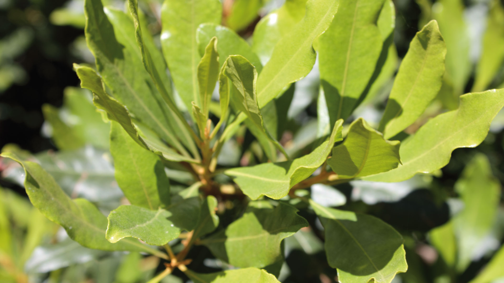
The characteristic tree species – Canary laurel, Barbusano, Til, fire tree – have adapted to the moist, foggy conditions of the northern slope over millions of years. The constant moisture supplied by the trade winds – which rise against the northern slopes to form fog – is the lifeblood of the forest. Los Tilos receives sufficient moisture all year round – which is why the Barranco del Agua never dries out.
The Marcos y Cordero tunnel hike
The big hike in Los Tilos is the Marcos y Cordero tunnel hike: 11.1 km, 1,406 m descent, difficult, 4:30-5:30 hours. It leads through the Marcos y Cordero spring tunnels with a flashlight, through deep laurel forest, several springs and waterfalls to the Los Tilos visitor centre. This tour is one of the most impressive hikes on La Palma – and requires booking the shuttle transfer in advance.
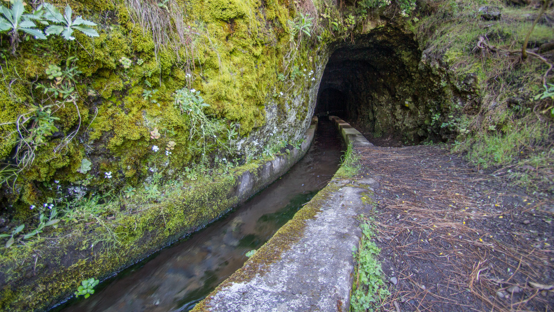
If you are visiting Los Tilos for the first time, start with exploring the core area (Barranco del Agua, Cascada, water canal) and plan the tunnel hike for a separate day. The tunnel tour permanently changes the image of the laurel forest – anyone who steps out into the forest through the darkness and water gains a whole new appreciation for Los Tilos compared to those who only visit the waterfall.
Best travel time
| Season | Character | Note |
|---|---|---|
| Autumn/Winter (Oct–Feb) | Peak water volume; Cascada at its most impressive | Best time for waterfall visits |
| Spring (Mar–May) | Fresh vegetation; light through the canopy | Ideal conditions |
| Summer (Jun–Aug) | Cool in the forest; lower stream flow | Pleasant temperature alternative |
| Year-round | Laurel forest evergreen — no restrictions | Accessible year-round |
Combinable tours
| Walk | Details | Character |
|---|---|---|
| Marcos y Cordero tunnel hike → Los Tilos | 11.1 km, strenuous | The main laurel forest walk |
| Monte El Canal & Los Tilos (SL-LP 29) | 5.1 km, easy | Easy laurel forest walk from Monte El Canal |
| GR-130 Stage 2: Puntallana – Barlovento | 20.4 km, strenuous | East coast route passing Los Tilos |
GPS track and 3D route planner
The core area is clearly signposted and easy to navigate without GPS. GPS track recommended for the tunnel hike. With the free 3D route planner, the tour can be combined with Marcos y Cordero and other northeast tours – directly in the browser, without an app.
3D route planner from Sunhikes – customize and combine routes
Practical Tips
Emergency number: 112. Visitor centre Casa del Monte: check opening hours in advance. The road into the valley is narrow — arrive early (limited parking). For the Marcos y Cordero tunnel trail: bring a torch (head torch recommended) and book your shuttle well ahead.
Frequently asked questions
Is Los Tilos accessible all year round?
What is the difference between Los Tilos and the Nacientes Marcos y Cordero?
Nacientes Marcos y Cordero: the sources in the tunnel
The Nacientes Marcos y Cordero — the spring intake tunnels in the upper area of Los Tilos — are the technical wonder behind the Barranco del Agua. These tunnels were blasted into the rock to capture groundwater from the caldera slopes and channel it to the coast in channels. Today they are the starting point of the legendary tunnel hike: You enter the tunnel with a flashlight, walk through the darkness over dripping spring water, and after about 1.6 km you step out into the laurel forest of Los Tilos.
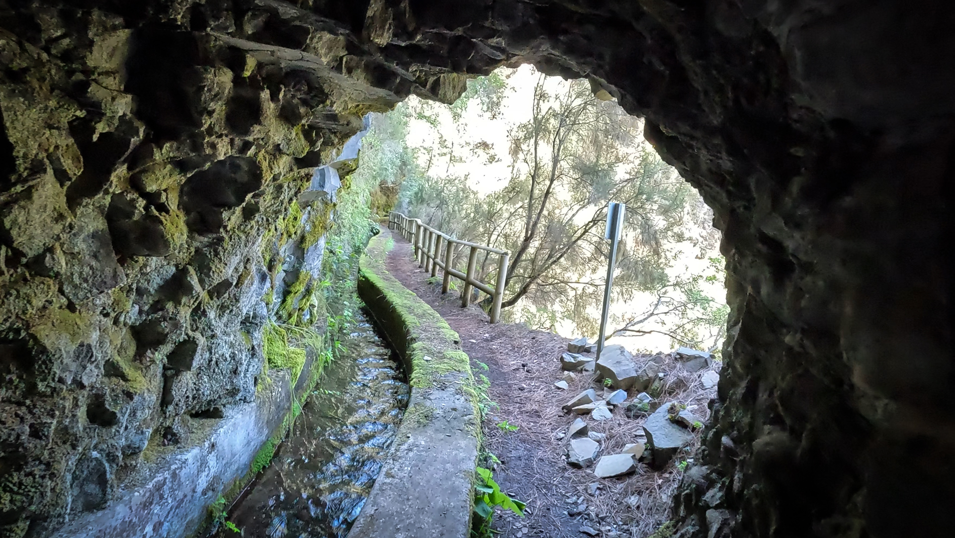
This tunnel approach is unique to La Palma and one of the most unusual hiking experiences in the Canary Islands. The contrast between the tunnel’s industrial feel – raw concrete and old pumping gear – and the wild laurel forest beyond couldn’t be starker. If you want to get to know Los Tilos, start with the Barranco del Agua and plan the tunnel hike as the highlight for a separate day.
Los Tilos as a UNESCO biosphere reserve
La Palma received UNESCO Biosphere Reserve status in 1983, which protects the entire laurel forest area including Los Tilos. The La Palma Biosphere Reserve is part of the pan-Canary Islands Biosphere Reserve, which covers all seven islands and was expanded into a transnational UNESCO reserve in 2002. Los Tilos, the most famous laurel forest area in La Palma, is the iconic centerpiece of this protected status.
The water channel along the Barranco
The acequia — the water channel running through the Barranco del Agua — is one of Los Tilos’ most defining features. This ancient canal carries the Barranco water from the laurel forest to the agricultural areas on the coast. The path along the acequia is almost flat and leads through the densest part of the laurel forest — ideal for a quiet, non-strenuous visit. Strolling along just this canal path (roughly 1–2 km there and back) offers the ultimate laurel forest experience that Los Tilos has to offer, without needing to be fit.
The water in the canal shimmers greenish – a result of the green weathering of the basalt rock and the algae communities that settle in the permanently moist environment. This green glow of the water is a visual feature of Los Tilos that is difficult to imagine until you see it. In the laurel forest semi-darkness the water appears almost phosphorescent.
A practical tip for visiting Los Tilos: The road into the valley (Barranco del Agua) is narrow, with passing places. The road is still clear early in the morning; Traffic can build up from 10:00 am onwards. Parking at the Casa del Monte Visitor Centre is limited. If you arrive early, you almost have the valley to yourself – which in Los Tilos means: birdsong instead of tourist chatter, the sound of rushing streams without noisy crowds, a laurel forest atmosphere in its most complete form.
Los Tilos is also a climbing centre: the rock faces of the Barranco del Agua are a well-known climbing area on La Palma. While of little concern to hikers without gear, the sheer drop of the ravine walls easily explains why it attracts rock climbers. The combination of laurel forest atmosphere and sporty climbing makes Los Tilos a place for various outdoor interests.
This article is based on the on-the-ground knowledge of the Gequo editorial team – publishers of the Reisezeit hiking guides and operators of Sunhikes.com. Last updated: May 2026


