
PR-LP 12: Hiking trail from Roque de los Muchachos to Tijarafe
The PR-LP 12 connects the highest point of La Palma with the West Coast municipality of Tijarafe:12.8 km, approx. 133 m ascent, 1,921 m descent, difficult, approx. 4.30–5.00 hours. The path leads from the area of the Roque de los Muchachos (about 2,400 m) over the ridge path southwards, through clear pine forests and the characteristic vineyard terraces of the northwest, to the village of Tijarafe (about 660 m).
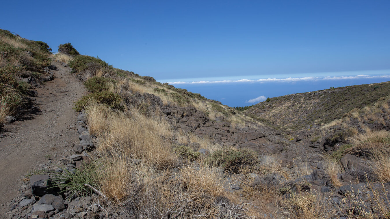
As a route (not a circular hike), PR-LP 12 runs from north to south along the western ridge of La Palma. The trail is usually walked from top to bottom: starting point Roque de los Muchachos (LP-4), end point Tijarafe. Return from Tijarafe by taxi.
Route facts at a glance
| Route Type | One-way (Roque de los Muchachos → Tijarafe) |
|---|---|
| Distance | 12.8 km |
| Elevation | 133 m ascent / 1,921 m descent |
| Duration | 4:30–5:00 hours |
| Difficulty | difficult (12.8 km, long descent, good level of fitness) |
| Starting Point | Roque de los Muchachos car park, LP-4/LP-403 |
| End Point | Tijarafe |
| Trail Marking | PR-LP 12 (yellow-white) |
| Protected Area | Caldera de Taburiente National Park (upper part) |
| Equipment | Water, provisions, alpine footwear, wind protection, sun protection |
The route in detail
From the Roque to the ridge
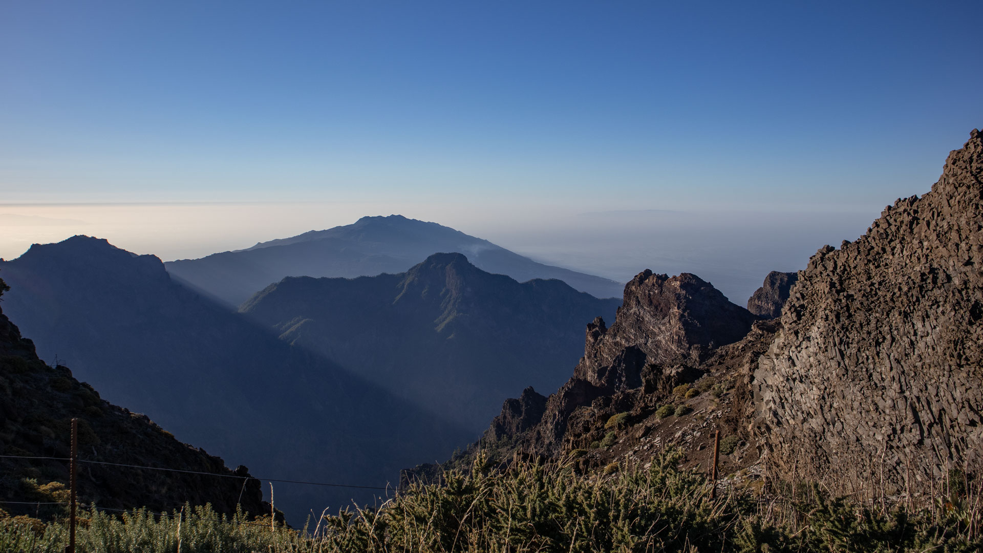
From the car park at Roque de los Muchachos on the PR-LP 12 (yellow-white) southwards. The trail first follows the ridges of the northwest ridge of the caldera. Magnificent panoramic view: Caldera de Taburiente on the left, open sea on the right. For the first few kilometres: alpine high mountain vegetation, broom, tajinaste.
Pine forest and vineyard zone
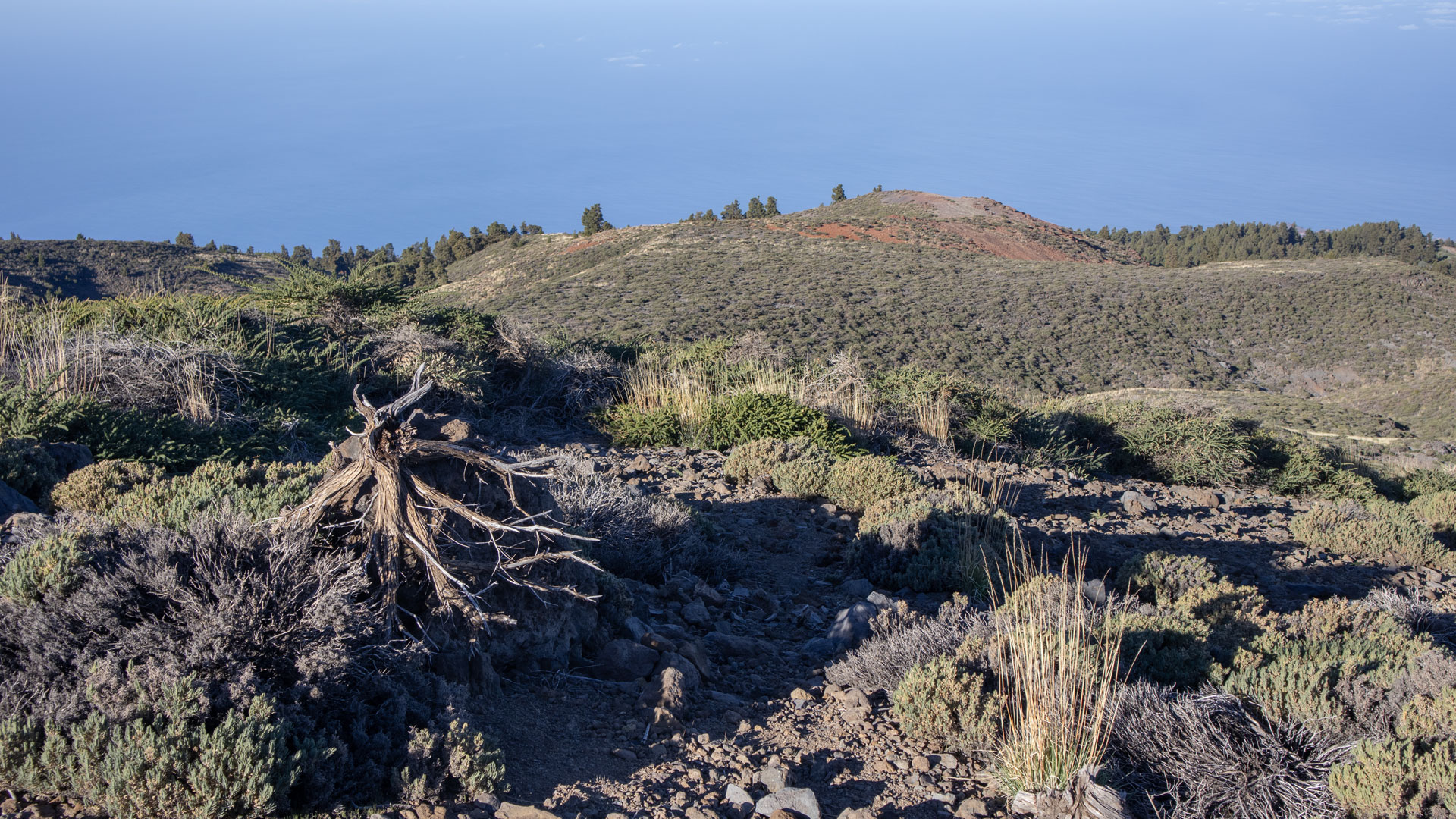
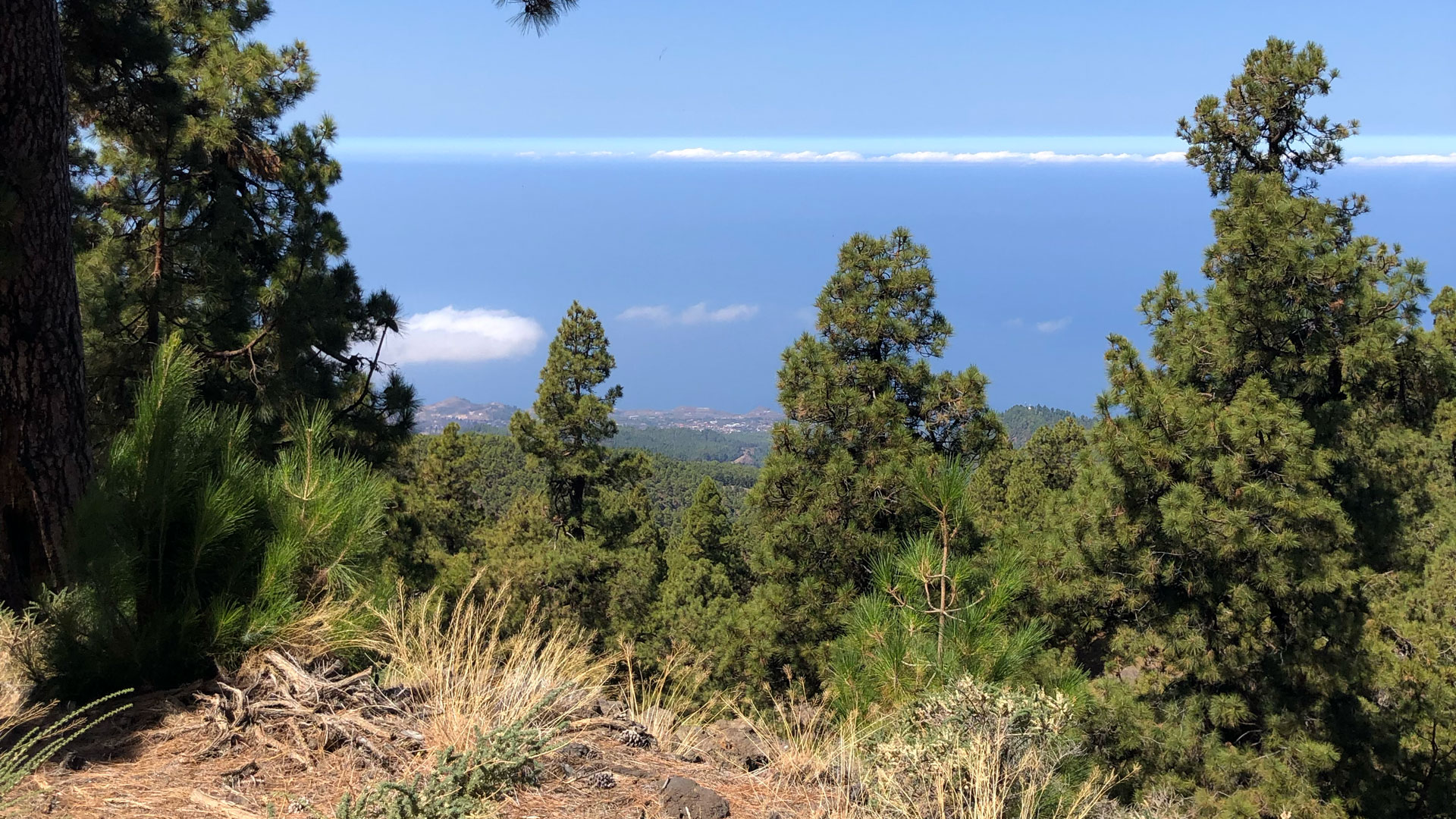
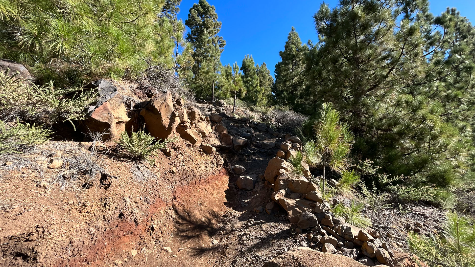
As the altitude decreases, you enter the pine forest. Then the characteristic vineyard terraces of the northwest — at an altitude of up to 1,500 m, vines grow here on lava stone terrace walls. Towards the end of the stage: the first houses of Tijarafe. End point in the village.
The west ridge of La Palma
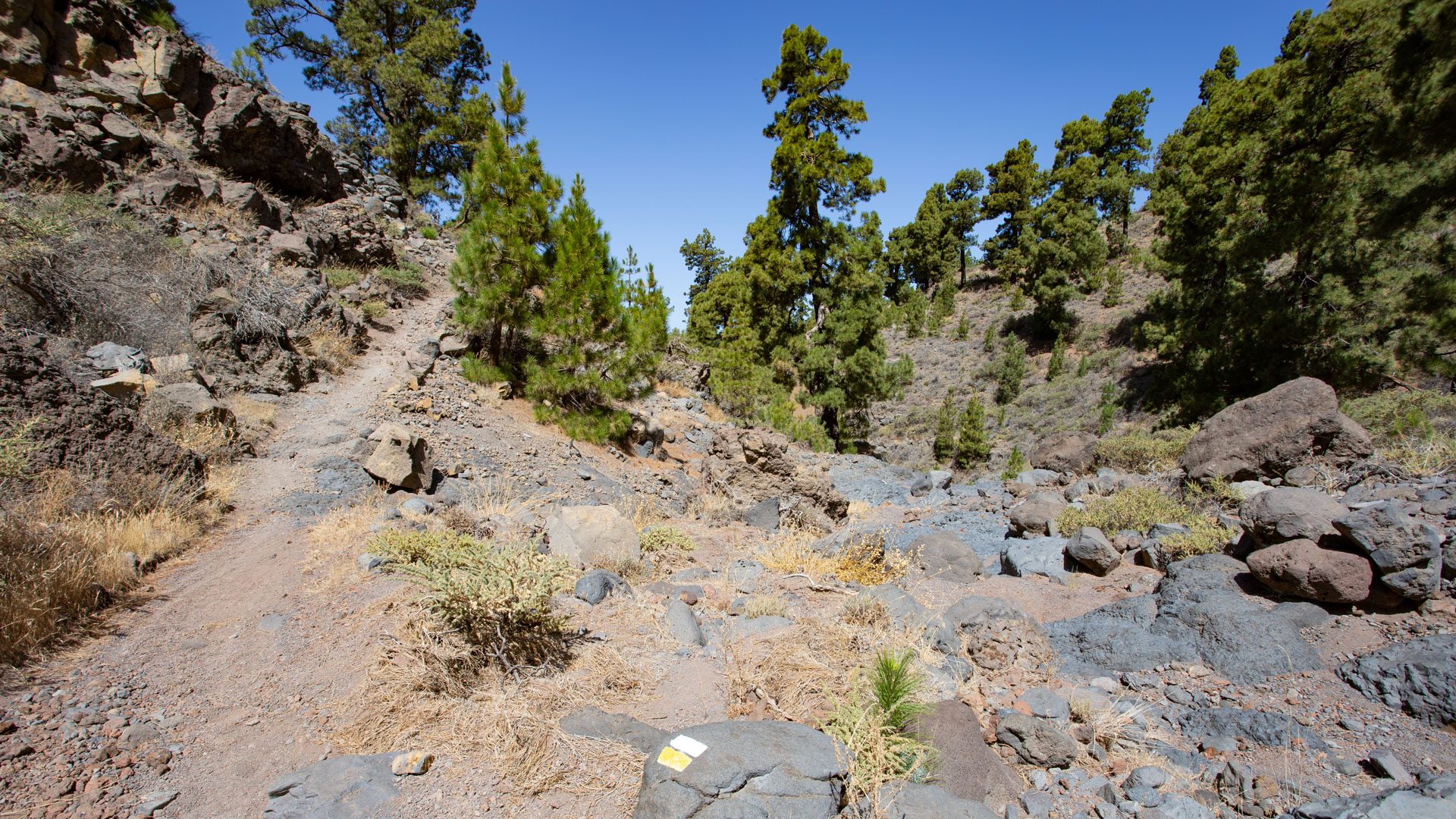
The PR-LP 12 runs on the west ridge — the ridge that connects La Palma from the high caldera zone to the west coast of Tijarafe. This ridge is the part of the island skeleton that mediates most strongly between the two large structures of La Palma: the caldera ring in the north and the coastal communities in the west. On the descent, you can see how the volcanic high mountain zone transitions into the agricultural landscape — a smooth transition without a sharp border.
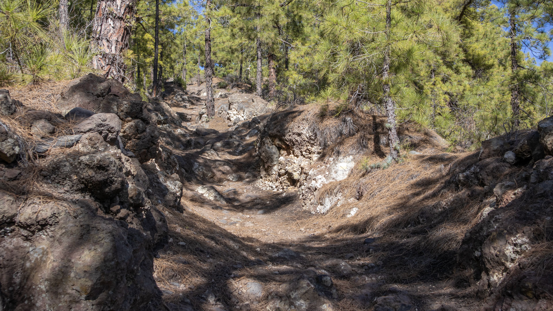
The PR-LP 12 is often used as a connecting route for the PR-LP 12.1 (Tinizara – Lomo de las Piedras Altas): PR-LP 12 from Roque to the ridge, then PR-LP 12.1 down to Tinizara. This is one of the most logical multi-stage combinations on the west side of La Palma — from 2,426 m to 867 m in one day.
Tijarafe as the destination
Tijarafe, the final destination of PR-LP 12, is the municipality with the largest selection of Clariso holiday homes on La Palma — over 37 holiday homes, from Villa Atlántico to Casa Victor. The town centre has a restored wine press square, an ethnographic museum and the church of Nuestra Señora de la Candelaria. As a place to stay after a long descent from 2,426 m to approx. 500 m: it could hardly be better.
Best travel time
| Season | Character | Please note |
|---|---|---|
| Spring (April-May) | Tajinaste above; vineyards below fresh | Best overall experience |
| Summer (July-Aug) | Summit clear; valley hot | Early start mandatory |
| Fall (Sept–Nov) | Best visibility | Most popular season |
| Winter (Dec-Feb) | Peaks possibly snow | Layered clothing required |
Accommodation in Tijarafe — Clariso
Tijarafe is the destination. Holiday homes on clariso.eu — Holiday homes Tijarafe. Over 37 houses — largest Clariso offer on La Palma.
GPS track and 3D route planner
Hiking trail PR LP 12 Roque de Los Muchachos – Tijarafe
3D route planner from Sunhikes — combine route with PR-LP 12.1 or GR-130
Viticulture at 1,500 m: the northwest ridge as a wine zone
The PR-LP 12 leads through one of the most extraordinary wine zones in La Palma: vineyards on terrace walls made of lava stone, at an altitude of up to 1,500 m. This extreme altitude gives the wine a characteristic, mineral taste that is hardly reproducible on other Canary Islands. The combination of volcanic soil, high sun exposure and cool nights creates a microclimate ideal for quality wine.
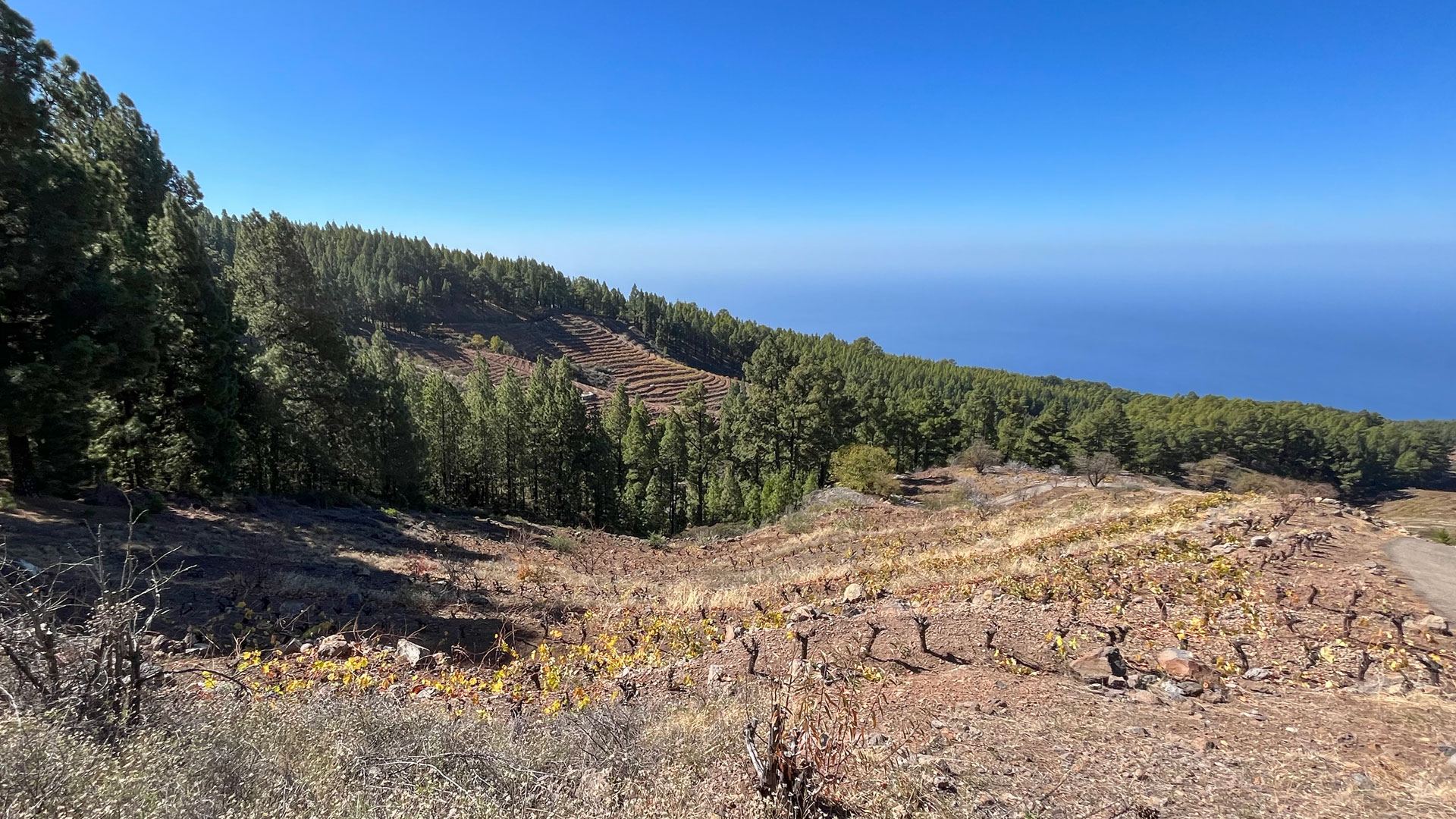
Viticulture on the northwest ridge is part of the Vino de La Palma Protected Designation of Origin (PDO). Tijarafe is one of the three main growing areas on the northwest side, along with Puntagorda and Garafía. The wine from this altitude is rare in the regular trade — those who descended to Tijarafe and went to the PR-LP 12 should buy in the local bodegas: this is the most direct way to this wine.
Return journey from Tijarafe
Tijarafe is located on the LP-1, bus line 120 connects Tijarafe with Los Llanos de Aridane and Santa Cruz. Bus about every 1–2 hours. Alternatively taxi. Clariso houses in Tijarafe allow overnight stay directly at the destination of the PR LP 12. Those who stay in a holiday home after 6–8 hours of descent from 2,426 m to Tijarafe have the next morning free for one of the quiet Tijarafe tours (Barranco del Jurado, Pirate Bay).
As a route (Roque → Tijarafe), the PR-LP 12 makes the most logistical sense. If you want to go back and forth, you need a good baseline level of fitness for 25.6 km and over 3,800 m of ascent and descent. This is a two-day tour with overnight stay in Tijarafe. Clariso houses in Tijarafe are the natural choice: arrive in the evening, relax, return the next morning — or just stay another day.
The GR-131 waymarking on the first part of the PR-LP 12 (Roque to the leaving the ridge) is particularly good: red-white GR markings every 30–50 m. After leaving the crest ridge and entering the vineyard zone, the markings become less dense — GPS track is important here.
Tijarafe: the community with the most Clariso offer
Tijarafe is not only the end point of the PR LP 12, but also the holiday home haven of the west coast: Over 37 Clariso houses from Villa Atlántico to Casa Victor, all on a hillside with sea or nature views. The price level is moderate, the location excellent — between the national park above and Puerto de Tazacorte below, with the pirate cove Porís de Candelaria in the north. If you want to hike in the west coast region for several days, Tijarafe is the base.
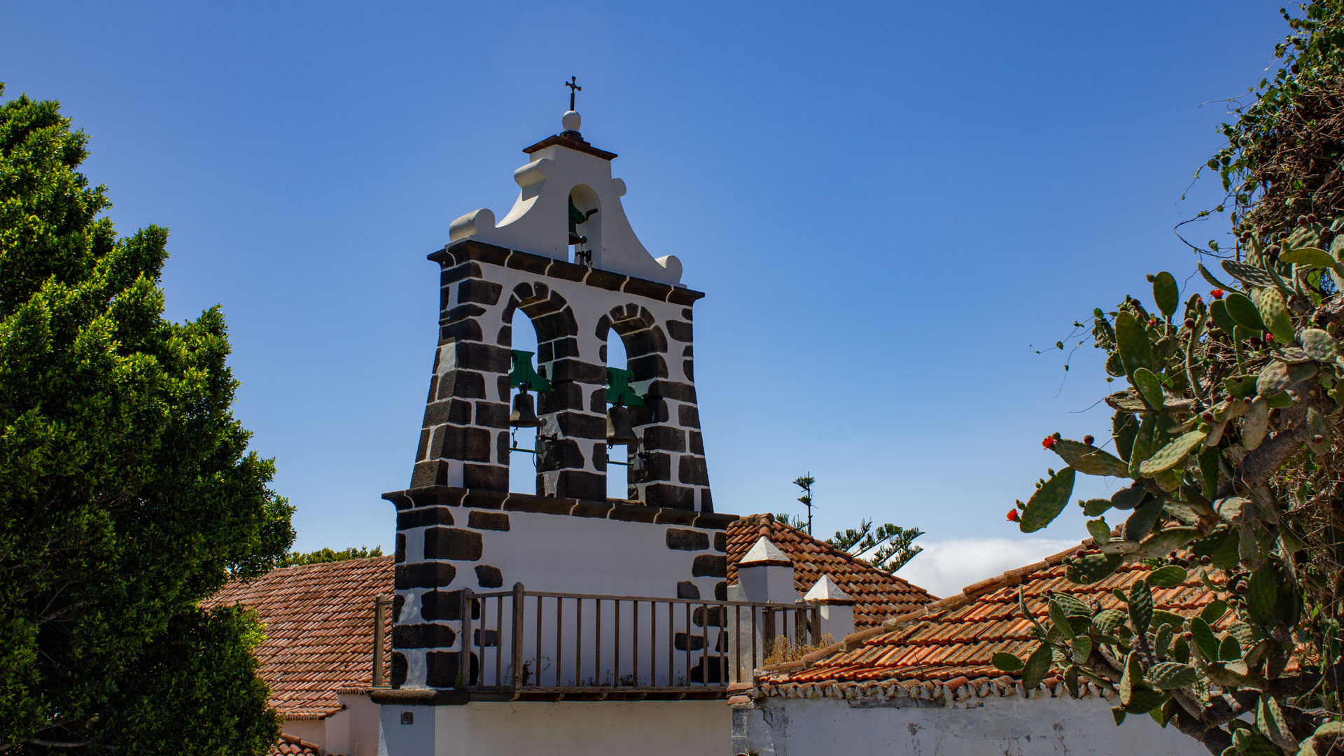
Tijarafe also has ethnographic value: the village church Nuestra Señora de la Candelaria, the traditional wine press ensemble, and the terraced vineyards are well-preserved examples of Canarian village architecture. The village centre sits at around 650 m and overlooks the sea. From here: the walk to the pirate cove at Porís de Candelaria, Mirador El Jurado, and Barranco del Jurado — all within easy reach.
Alternative: PR-LP 12 in Stages
The PR-LP 12 doesn’t have to be walked as a complete 12.8 km route. It can be divided into stages at several LP-4 car parks and trail junctions. Anyone who only wants to experience the high mountain zone (Roque → first ridge descent, approx. 5–6 km) walks this section and returns via the LP-4. Anyone who only wants to experience the vineyard zone (lower section towards Tijarafe, approx. 5 km) starts in Tijarafe and hikes uphill. This makes the PR-LP 12 a modular trail.
The PR-LP 12 high mountain zone (Roque → first ridge descent) shows the same landscape as the Roque Palmero trail and the Roque Espigón trail — but from a different direction. Anyone who knows all three knows the entire summit area of the Roque de los Muchachos from every compass point. That is the complete Roque experience in four routes.
The historic path: shepherds and merchants
The upper section of the PR-LP 12 follows historic paths used by shepherds and merchants between the ridge and Tijarafe. The vineyard terraces in the lower section are evidence that this was also a working route: harvest helpers and vintners walked up and down it, carrying the harvest on their backs or in donkey baskets. Today you walk the same path as a hiker — stepping into a long history of travel on La Palma.
Tijarafe as a base on the west coast: situated between Santa Cruz (2 hrs by bus) and Los Llanos (30 min by bus), Tijarafe is the quieter, more authentic village on the western side. The LP-1 main road passes through, but the village centre lies slightly off it. Restaurants, a bakery, and small shops cover the essentials. After the long descent of the PR-LP 12, the village offers a welcome return to civilisation.
This article is based on the on-the-ground knowledge of the Gequo editorial team – publishers of the Reisezeit hiking guides and operators of Sunhikes.com. Last updated: May 2026


