
Large circular hike Cruz del Llano around the Barranco de Jieque
The large circular hike Cruz del Llano is the complete version of the Jieque tours: 14.5 km, 1,375-metre ascent, difficult, taking 4:30–6:00 hrs. It combines the well-known outward route of the PR-LP 10 through gorges and vineyards with a steep ridge climb over the PR-LP 12 and the return route on the SL-LP 70 – three route markers, three different characters.
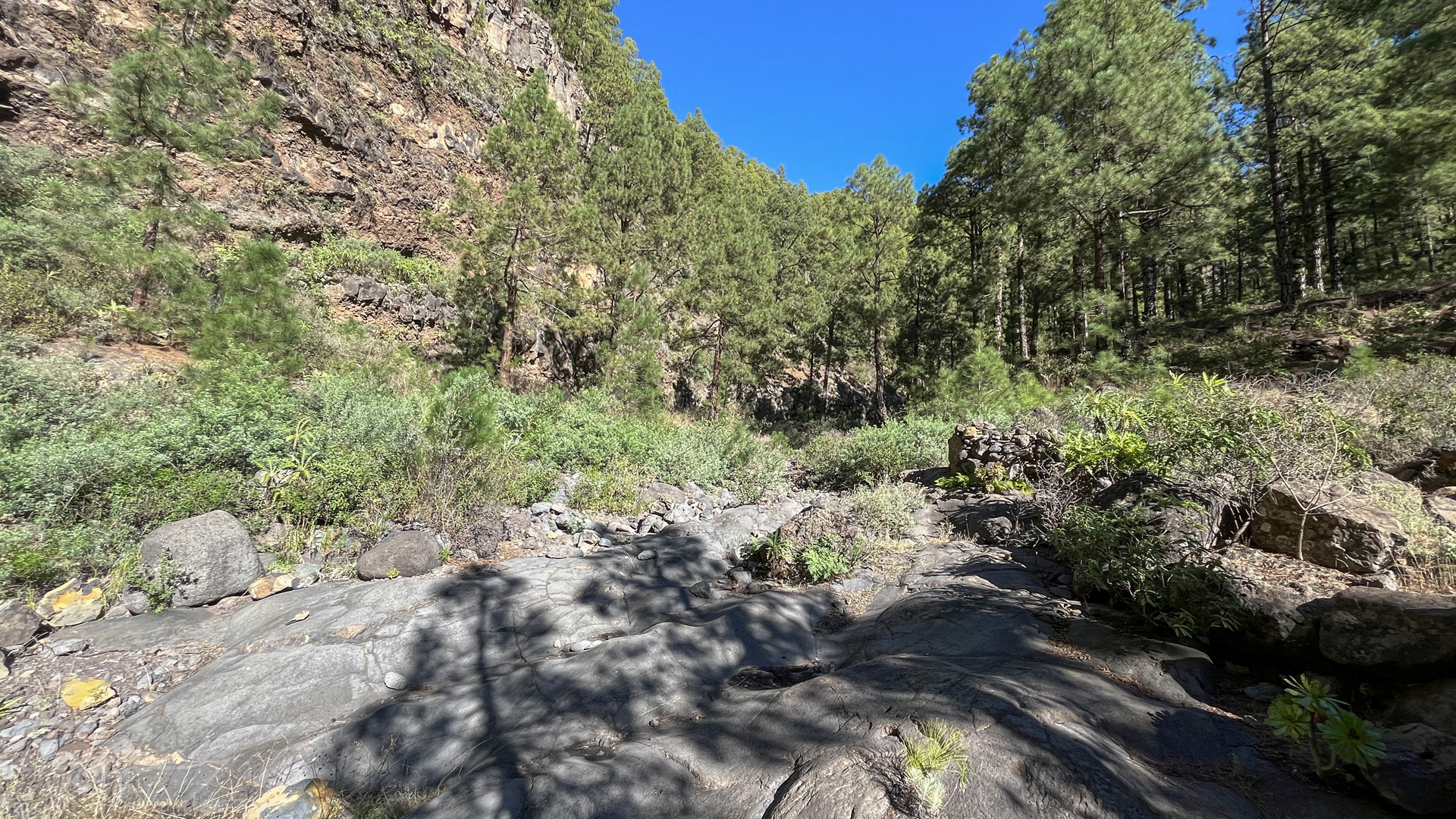
Compared to the shorter Jieque circuit (8.1 km, moderate), this tour also leads to the ridge above the gorges: winding up through numerous switchbacks, the PR-LP 12 gains around 450 m over a distance of around 2 km. The SL-LP 70 on the way back runs gently down the mountainside with views over pine forests to the volcanoes of Cumbre Vieja.
Starting point: Cruz del Llano in the district of El Pinar, Tijarafe. Directions: From the LP-1 at km 88 turn onto the Camino el Pinar – signs for El Pinar hostel. The narrow road leads to the car park at Cruz del Llano in about 4.5 km.
Route facts at a glance
| Route type | Circular hike |
|---|---|
| Distance | 14.5 km |
| Ascent / Descent | 1,375 m ascent / 1,357 m descent |
| Highest point | 1,622 m |
| Lowest point | 1,001 m (Cruz del Llano) |
| Duration | 4:30-6:00 hours |
| Difficulty | difficult (3 waymarks, 1,375 m, sure-footed) |
| Starting point | Cruz del Llano, district of El Pinar, Tijarafe – LP-1 km 88 |
| Path marking | PR-LP 10 (yellow-white) | PR-LP 12 (yellow-white) | SL-LP 70 (green-white) |
| Protected area | no special protection status |
| Equipment | Provisions, water, sturdy shoes, sun protection, rain protection, wind protection |
Directions
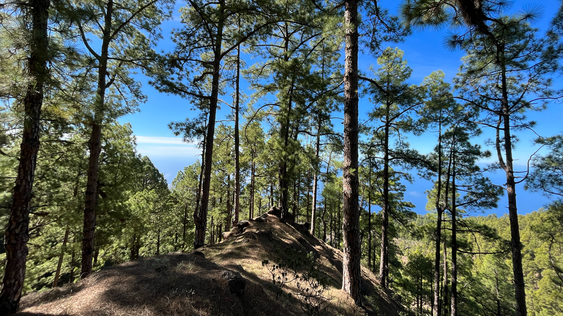
From the LP-1 at km 88 turn left onto Camino el Pinar – signs for El Pinar hostel. The narrow road leads uphill to Cruz del Llano in about 4.5 km. Parking bay in a curve just before Cruz del Llano, few cars. Arrive early.
The route in detail
Outbound route via PR-LP 10: Cruz del Llano to Lomo de El Pino (km 0-7.5)
From Cruz del Llano follow the PR-LP 10 (yellow-white) towards Refugio de Tinizara. Initially flat along stone walls through vineyard terraces. Barranco de Trajocade gorge with spring (worth a short detour). Continue through several gorges with gentle ups and downs. Then: Barranco de Jieque gorge – viewpoint with wooden railing, descent to the dry stream bed, crossing at the foot of the impressive steep wall. In a wide arc upwards around the mountain side. The Pista de Linares forest path is passed. Steeply up to Lomo de El Pino.
Ridge ascent PR-LP 12 (km 7.5–10.5)
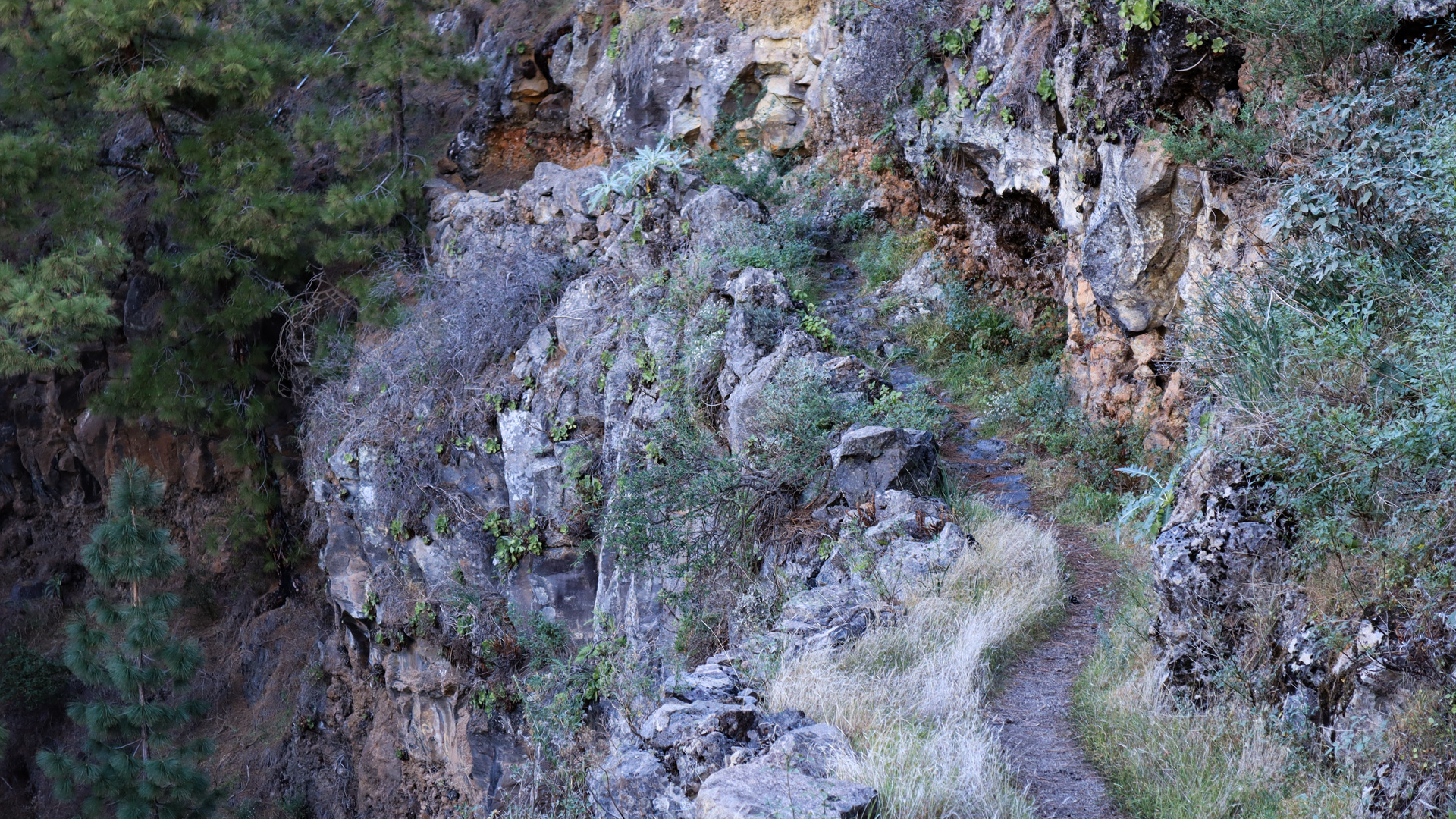
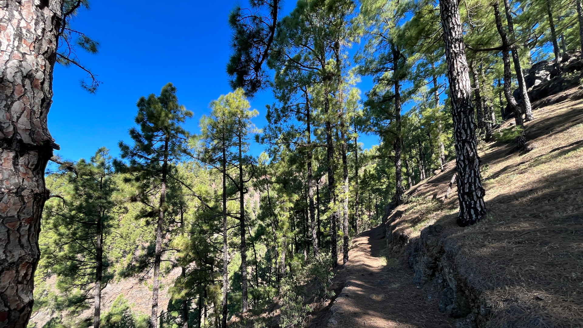
On the Lomo de El Pino: Crossroads to PR-LP 12 (yellow-white). Follow this to the right towards Roque de los Muchachos. Steeply uphill along the mountain ridge in the sparse pine forest. With numerous short hairpin bends, the path climbs up around 450 m over a distance of around 2 km. This is the most strenuous section of the tour – but at the top: views over the entire volcanic chain of the Cumbre Vieja.
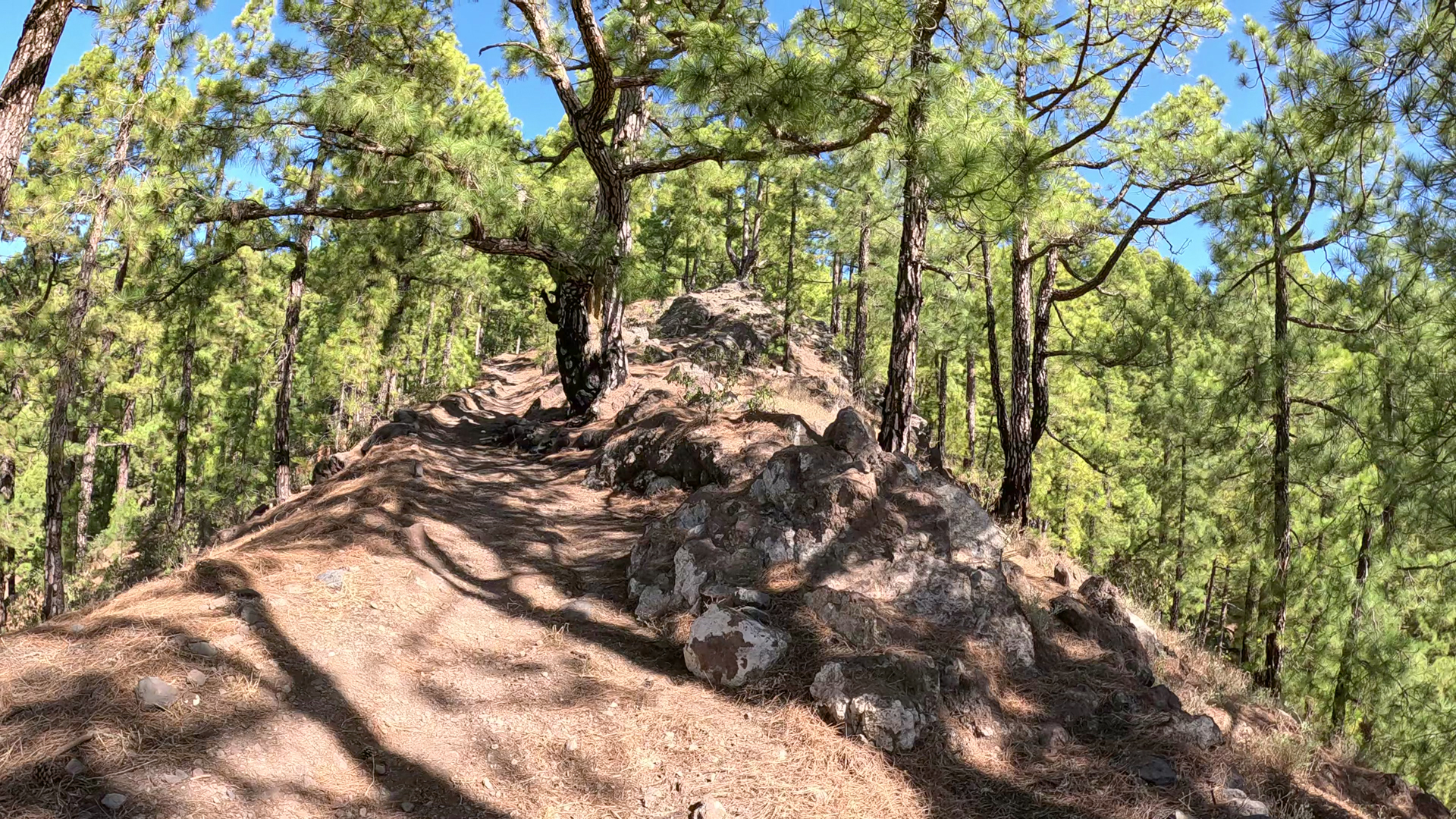
Further up the terrain flattens out. Opposite a small rest area, the SL-LP 70 (green-white) turns right – follow this towards Cruz del Llano.
Return route SL-LP 70: ridge height to Cruz del Llano (km 10.5–14.5)
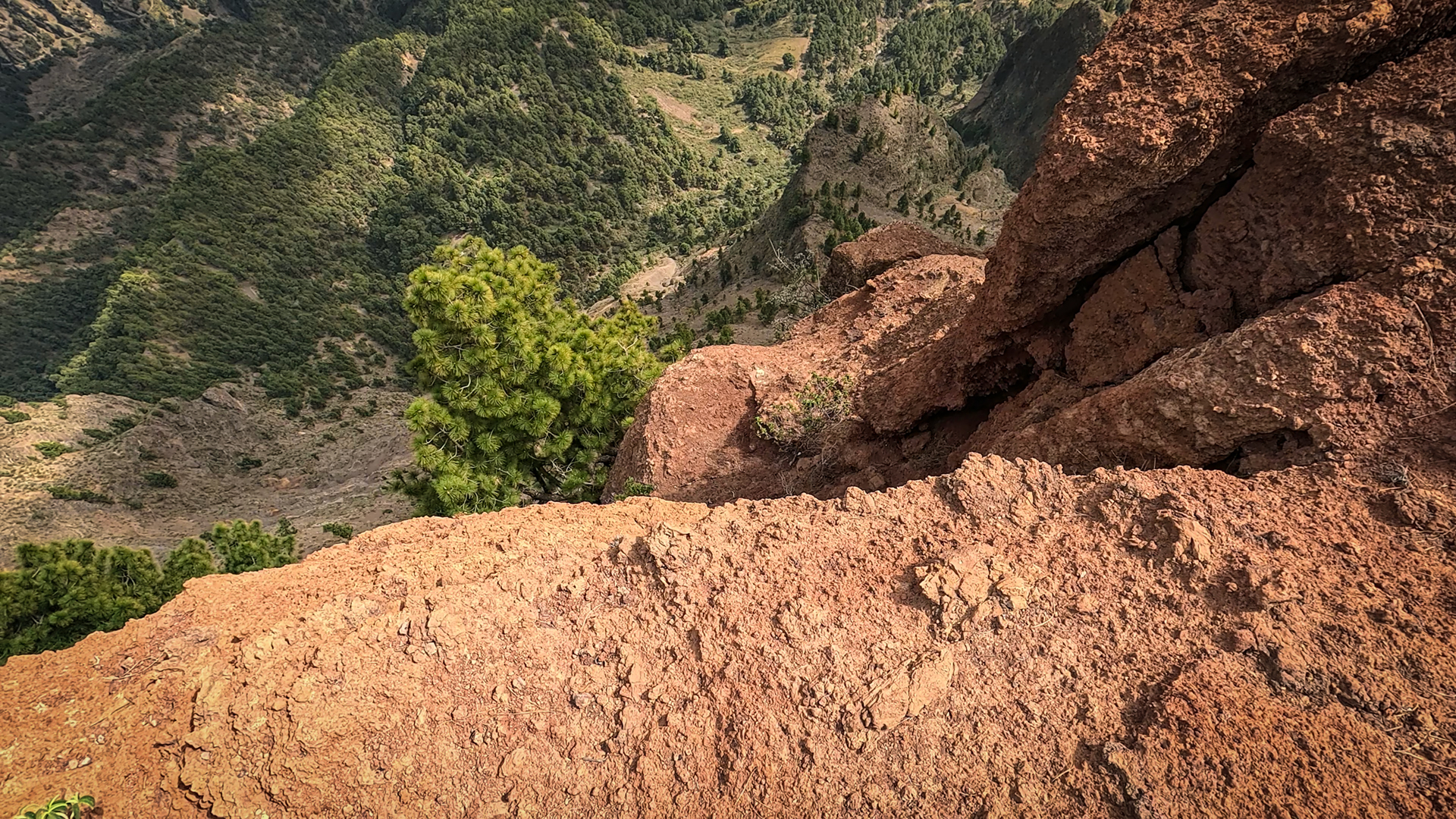
The first section of the SL-LP 70 runs gently downhill along the mountainside. Wonderful views over pine forest to the volcanoes of Cumbre Vieja. The path then descends increasingly steeply and reaches the ridge above the Barranco de Jieque ravine. Winding and partly secured by railings, the path leads downhill above the steep walls. Below: Junction with the PR-LP 10 towards Caldera de Jieque.
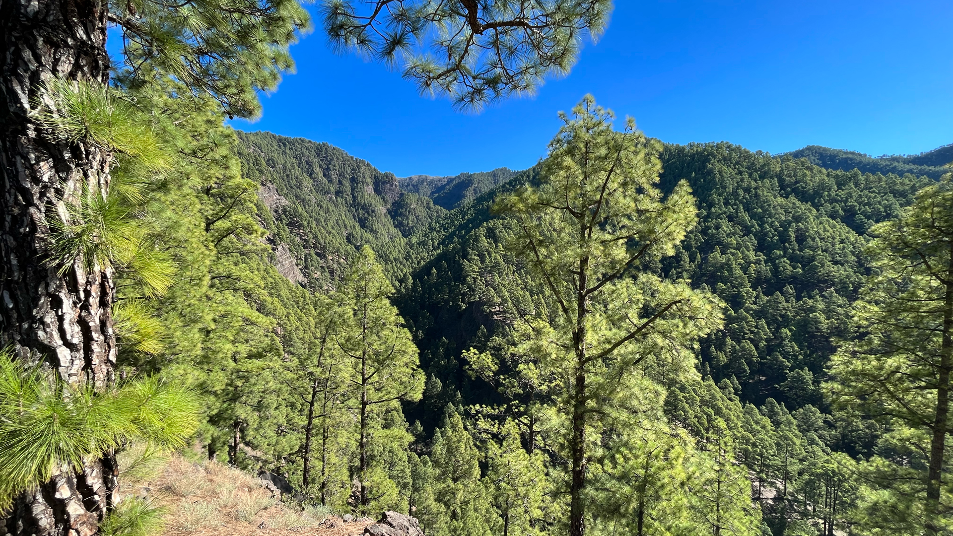
Continue along the Pista Torre del Time track. After around 4 km on the slope, the SL-LP 71 (green-white) crosses. Follow this downhill to the right. Through vineyards and cultivated areas past the first houses. Then asphalt road – turn right back to Cruz del Llano.
Comparison with the shorter Jieque loop
Both tours start at Cruz del Llano and share the outward route on the PR-LP 10 to Lomo de El Pino. The short loop (8.1 km, moderate) turns around there and returns to the Pista Torre del Time. The big loop (14.5 km, difficult) continues the PR-LP 12 uphill — 450 additional meters of elevation on the ridge. If you know the short circuit and are fit, choose the long one. Anyone who completes the long loop and needs a recovery day can opt for the shorter route as an easy exploration hike.
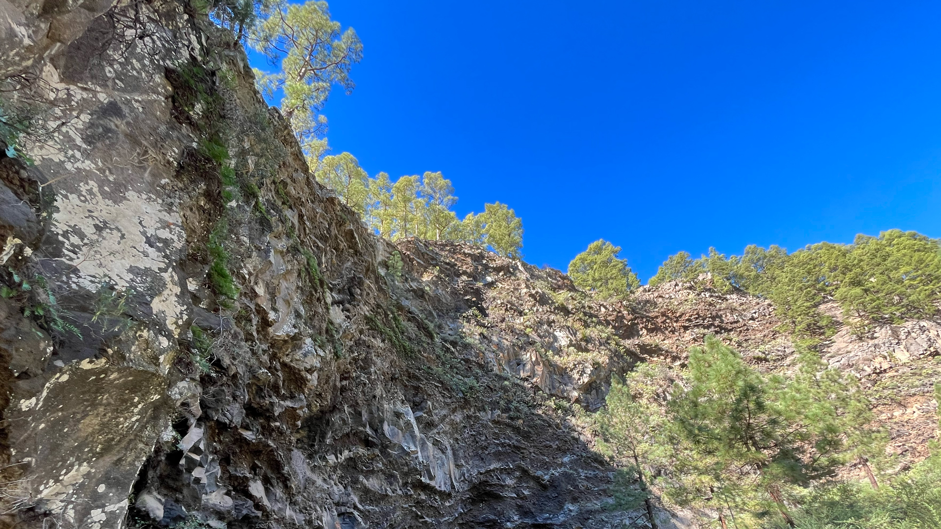
An advantage of the large tour: You can see the Jieque Gorge from two perspectives – from below on the way there and from above on the way back with the SL-LP 70. This dual perspective offers a richer experience: taking in the sheer cliff faces from below, then enjoying the dramatic drop from above, the other is the deep view from above.
Best travel time
| Season | Character | Note |
|---|---|---|
| Spring (March-May) | Vineyards fresh, ridge views clear | Optimal conditions |
| Summer (June–Aug) | Pine forest provides shade; ridge hot | Early start; take plenty of water |
| Autumn (Sept-Nov) | Grape harvest season; best distant view | Most popular season; heavily frequented |
| Winter (Dec–Feb) | Ridge at 1,622 m cold and windy | wind protection mandatory; Descent slippery after rain |
Accommodation: Clariso Tijarafe
Cruz del Llano is located in the municipality of Tijarafe. With over 37 Clariso houses, Tijarafe is the largest offering on La Palma. clariso.eu — Holiday homes Tijarafe. Casa Victor at 890 m and Villa Atlántico at 829 m are both close to the hiking area.
Combinable tours
The big Jieque circuit is a full day hike. The shorter Tijarafe tours are suitable for the day before or after:
| Tour | Data | Character |
|---|---|---|
| Circular hike Barranco de Jieque (short) | 8.1 km, moderate | The shorter version from the same starting point |
| PR-LP 12.1 Tinizara – Lomo de las Piedras Altas | 5.3 km, difficult | Pure ridge climb as a supplement |
| El Jesús gorge and culture hike | 9.4 km, moderate | Different region, same character |
GPS track and 3D route planner
GPS track mandatory – three waymarks and two critical junctions: change from PR-LP 10 to PR-LP 12 at Lomo de El Pino and junction with the SL-LP 70 at the ridge summit. With the free 3D route planner, the route can be tailored to your own condition – e.g. shorten or lengthen a ridge section – directly in the browser, without an app.
To the route page on Sunhikes: Large circular hike Cruz del Llano around the Barranco de Jieque
3D route planner from Sunhikes – customize and combine routes
Practical Tips
Emergency call 112. Preload GPS track – three route markers require active navigation. No place to stop for refreshments on the route. Take water with you for 4:30-6 hours. On the PR-LP 12 ridge climb, it makes sense to take a break at the small rest area – the return route branches off from here.
Frequently asked questions
How does this tour differ from the short Jieque circuit?
What is the Caldera de Jieque?
Viticulture at an altitude of 1,500 metres
The vineyards through which both the outward route (PR-LP 10) and parts of the ascent (PR-LP 12) lead extend to an altitude of almost 1,500 meters on this route. This is exceptional for La Palma and unique in the Canary Islands context. The vines grow on terrace walls made of lava stone on extreme slopes, sometimes with an inclination of over 30 degrees. The wine from these high altitudes is labeled Vino de La Palma and has a distinctive character.
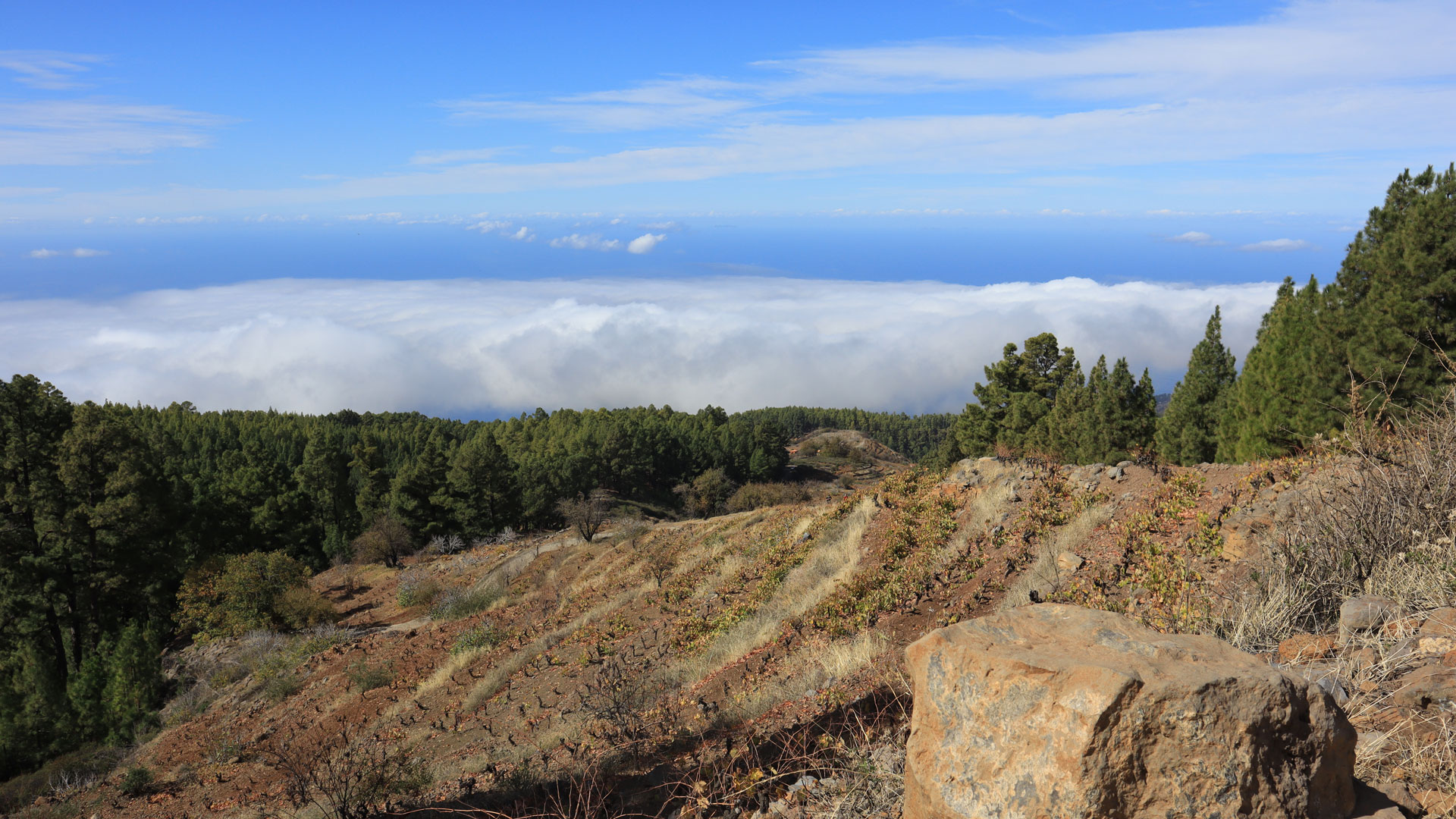
The abandoned terraces that you can also see on the route tell the other story: growing wine on this steep slope is laborious and hardly economically viable. Many families have given up. The overgrown walls, the overgrown terraces, the old layered walls – these are the visible traces of the demographic change that has characterized La Palma since the 20th century.
The PR-LP 12 ridge climb in detail
The ridge climb on the PR-LP 12 is the most demanding individual section of this route with 450 m in height over a distance of just over 2 km. The numerous serpentines – short, steep, rhythmic – are the most proven form of altitude gain in this terrain. The pine forest offers partial shade. Towards the top the forest thins out, the wind exposure increases and the view opens up to the sea and the west coast. That is the reward of climbing the ridge – and the reason why fitness and patience are well spent on this tour. At the top, at the rest area in front of the SL-LP-70 junction, it’s worth taking a longer break.
For hikers who explore La Palma for several days, the large Jieque circuit is a perfect second day after the shorter introductory circuit. Day 1: the short Jieque circuit (8.1 km) as orientation and getting to know the terrain. Day 2 the big loop (14.5 km) with the full ridge climb. This is not a contradiction, but progression: the same gorges, the same forest, but experienced from above and below at the same time.
A practical tip for climbing the ridge: The serpentines of the PR-LP 12 are evenly placed and well marked. The most common mistake is going too fast at the beginning. If you walk the first 100 meters too quickly, you will arrive at the top with empty reserves. A steady pace, short breaks after each group of switchbacks, and looking backwards whenever the view opens up: this is the right way to do this climb.
This article is based on the on-the-ground knowledge of the Gequo editorial team – publishers of the Reisezeit hiking guides and operators of Sunhikes.com. Last updated: May 2026


