
Circular hike through the gorges at Barranco de Jieque
A pleasant circular hike in the shady pine forest through numerous gorges in the medium altitudes of the west side of La Palma: 8.1 km, 617 m, moderate, 2:30–3:00 hours. Accompanied by wonderful views of the Atlantic, you hike through old cultural landscapes and cultivated vineyards. Trail popularity: moderate.
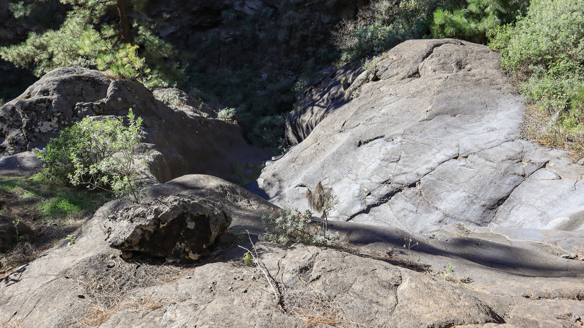
The PR-LP 10 hiking trail – also called La Traviesa – is one of La Palma’s old historic trails. These run horizontally along the mountain slopes at an altitude of 1,000 to 1,300 meters and were previously used for livestock and timber farming and as connecting routes between communities. The way back on the Torre del Time forest track offers different views than the way there.
Starting point: Cruz del Llano in the El Pinar district, above El Jesús (Tijarafe). Directions: From the LP-1 at km 88 turn onto the Camino el Pinar – signs for El Pinar hostel. The narrow road leads to the car park at Cruz del Llano in about 4.5 km.
Route facts at a glance
| Route type | Circular walk |
|---|---|
| Distance | 8.1 km |
| Elevation meter | 617 m ascent / 617 m descent |
| Highest point | 1,234 m |
| Lowest point | 1,001 m |
| Duration | 2:30-3:00 hours |
| Difficulty | moderate (sure-footed) |
| Starting point | Cruz del Llano, district of El Pinar, Tijarafe – junction LP-1 km 88 |
| Waymarking | PR-LP 10 (yellow-white) | SL-LP 71 (green-white) |
| Protected area | no special protection status |
| Equipment | Provisions, water, sturdy shoes, sun protection, rain protection, wind protection |
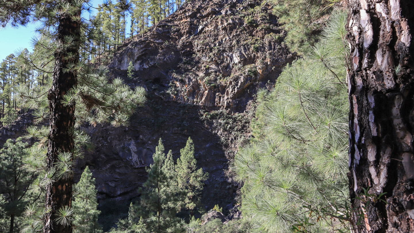
Directions
From the LP-1 at km 88 turn into Camino el Pinar – signposted El Pinar hostel. The narrow asphalted road leads uphill in about 4.5 km to the car park at Cruz del Llano in the higher district of El Pinar. In a curve just before Cruz del Llano there is a parking bay for a few cars.
The route in detail
Cruz del Llano to Barranco de Jieque (one way PR-LP 10)
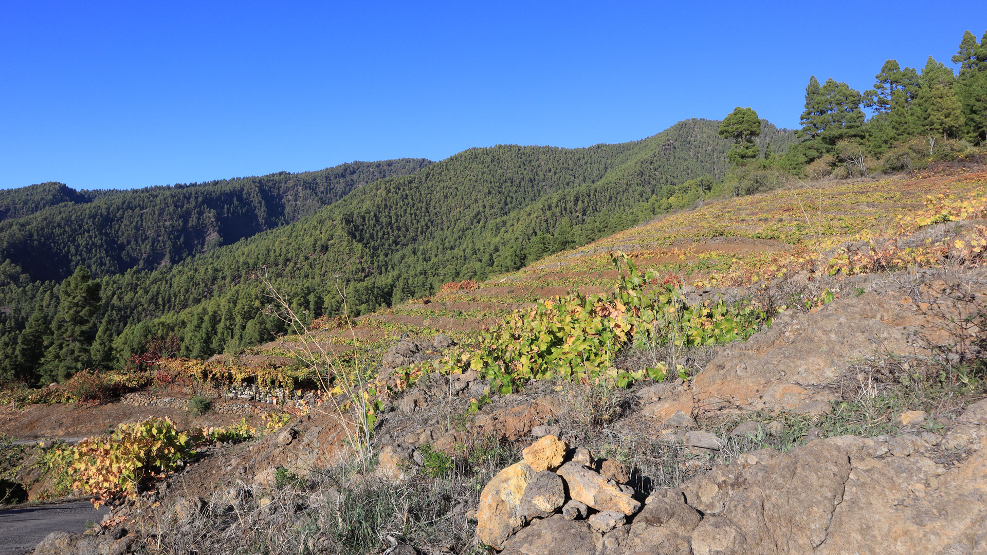
Follow the PR-LP 10 trail (yellow-white) towards Refugio de Tinizara. The route starts on level ground, running alongside dry-stone walls between vineyard terraces into a dip with two large eucalyptus trees. After a right-hand bend, you reach the Barranco de Trajocade gorge, marking the start of the pine forest.
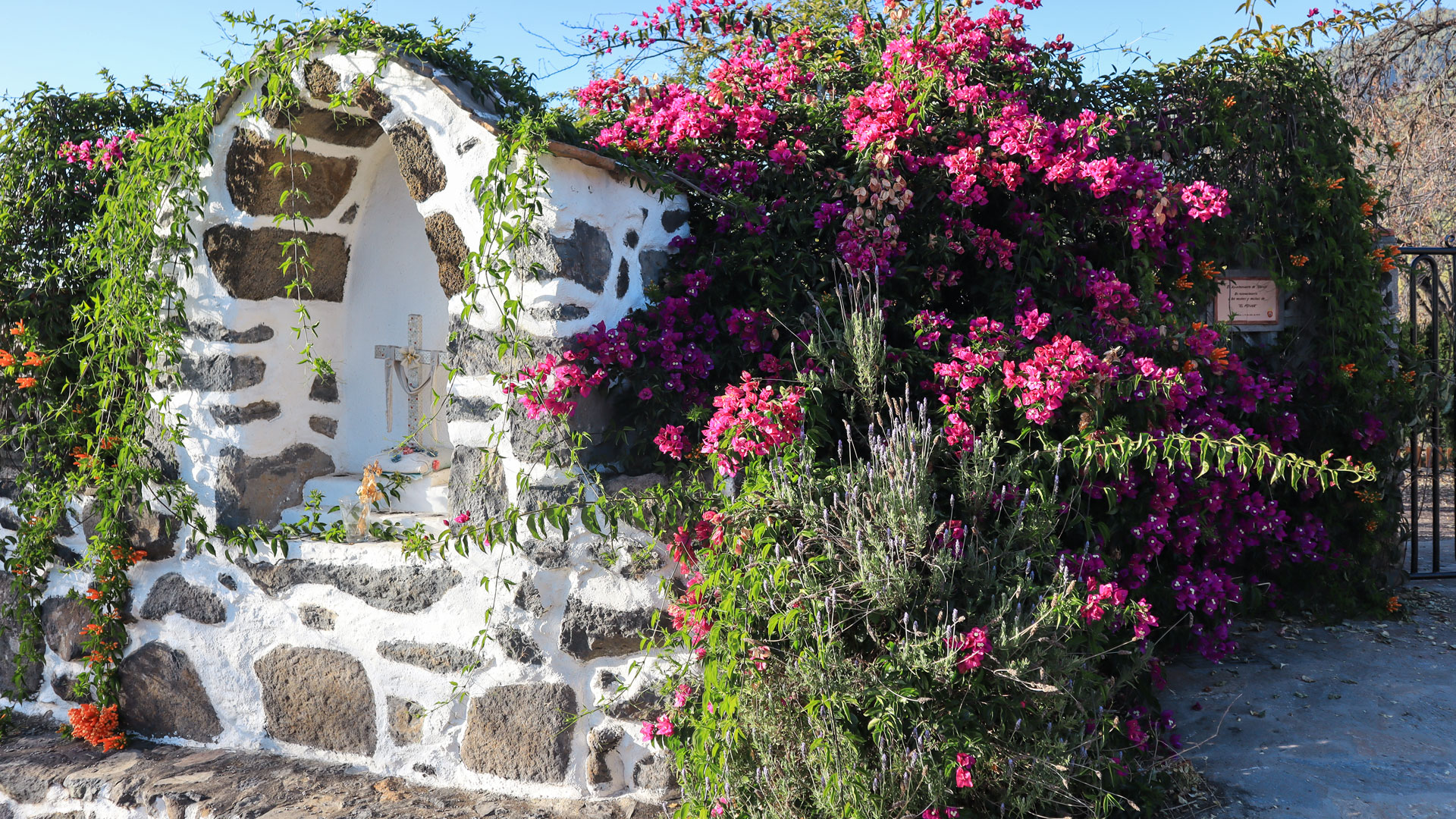
After crossing the gorge, a short detour to the Fuente de Trajocade spring is possible – a small path to the spring above with a brick basin and old washing place. Then partly on paved sections of path along dry-stone retaining walls in gentle ups and downs through further gorges. Between the trees there are always views of the surrounding landscape all the way to the ocean.
The hiking trail meets a road near some wine terraces. Then turn left uphill. Finally: the Barranco de Jieque gorge. From a viewpoint with wooden railings, a view of the Barranco de Jieque basin, which forms the upper part of the Barranco de El Jurado gorge.
Through the Jieque Gorge and to Lomo de El Pino
The path runs along the slopes of the gorge with constant ascents and descents. Then down to the dry stream bed. The Jieque Gorge is crossed at the foot of an imposing, towering cliff next to smooth rock formations – one of the most impressive moments of the route.
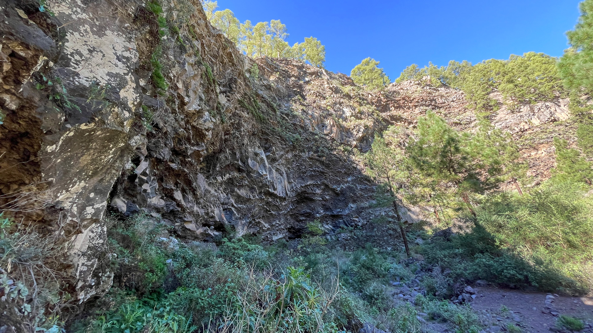
In a wide arc upwards around a mountain side. You pass the Pista de Linares forest path. On an almost continuous ascending path to the Lomo de El Pino ridge above the gorge. Short detour possible directly along the mountain ridge. Then: crossroads to the Pista Torre del Time forest road with a viewpoint of the Caldera de Jieque.
Way back via Pista Torre del Time and vineyards
Leave the PR-LP 10 and turn right onto the Pista Torre del Time. Loop gently through the Jieque Gorge. The gravel track leads in gentle undulations parallel to the outward route towards the Torre del Time watchtower, offering beautiful views across the gorges and out to the Atlantic.
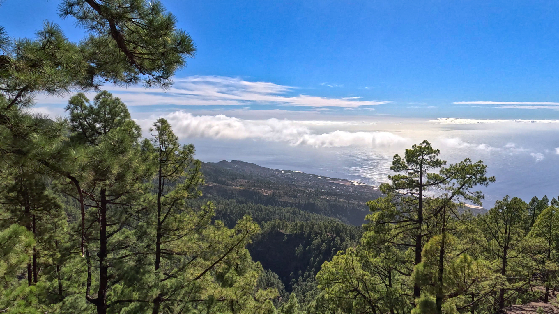
After around 4 km of slopes: a vineyard area. Shortly afterwards the SL-LP 71 (green-white) crosses the road. Follow the SL-LP 71 downhill to the right. The steep hiking trail leads through terraced vineyards and cultivated areas past the first houses. Finally he reaches the asphalted road to Cruz del Llano – turn right back to the car park.
La Traviesa — the historic passageway
The PR-LP 10 is locally known as La Traviesa — the cross path. Routes like this served as horizontal passages in La Palma’s mid-altitudes, connecting the communities in the west without requiring steep descents into the valleys or climbs into the high mountains. Running along the mountain slopes at an altitude of 1,000 to 1,300 metres, they formed a practical network across terrain otherwise divided by deep ravines.
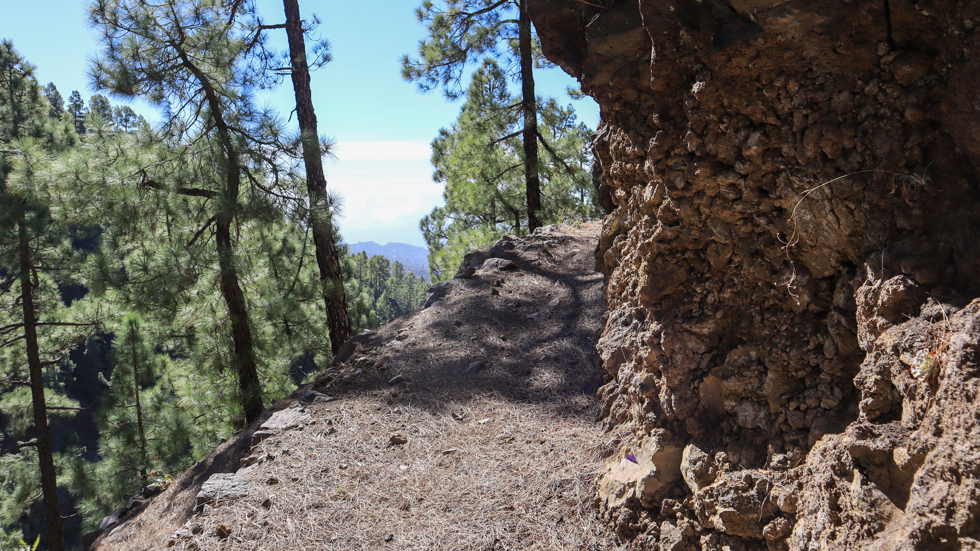
These old paths have now been reactivated as hiking trails. La Traviesa connects the El Pinar area with the Refugio de Tinizara further west. The cultivated vineyard terraces along the way show that these high altitudes are still active agriculturally today – Tijarafe produces some of the best wines on the island.
The Caldera de Jieque
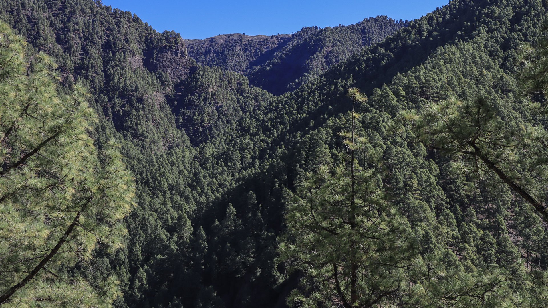
At the viewpoint along the Pista Torre del Time, you get a clear view into the Caldera de Jieque — an almost untouched, inaccessible terrain with a unique microclimate. This climate favours endemic plants that are increasingly threatened elsewhere on the island. The caldera is not a volcanic crater, but an erosion basin carved out by canyon geology over millennia.
Best travel time
| Season | Character | Note |
|---|---|---|
| Spring (March-May) | Green vineyards, blooming layered walls | Optimal conditions |
| Summer (June–Aug) | Pine forest provides shade | Pleasant tour even in summer |
| Autumn (Sept–Nov) | Vine harvest season; Outlook clear | Best time for vineyard atmosphere |
| Winter (Dec–Feb) | Rain possible; Slope slippery | Cloudy often interesting light moments |
Accommodation: Clariso Tijarafe
The starting point Cruz del Llano is in the municipality of Tijarafe. Holiday homes in Tijarafe — Clariso first-party provider with over 37 houses — bookable directly on clariso.eu — Holiday homes Tijarafe. Casa Victor is located at an altitude of 890 m in Tijarafe, well located for tours in the medium altitudes of the west side.
Combinable tours
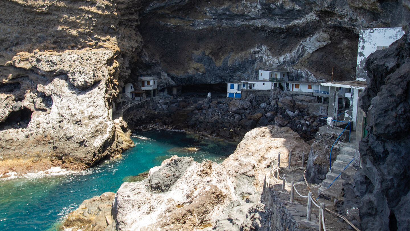
The Barranco de Jieque is in the same hiking area as the Pirate Bay routes. If you spend several days in Tijarafe, combine La Traviesa with one of the gorge tours:
| Tour | Data | Character |
|---|---|---|
| El Jesús – gorge and culture hike | 9.4 km, moderate | Other Tijarafe circuit through the Barranco del Jurado |
| Hike Mirador Jurado → Pirate Bay | 5.5 km, difficult | Intensive descent to Pirate Bay |
| Large circular route Cruz del Llano around the Barranco de Jieque | 14.5 km, difficult | Extended version of this one Route |
GPS track and 3D route planner
GPS track recommended – especially the change from the PR-LP 10 to the Pista Torre del Time at Lomo de El Pino and the turn-off to the SL-LP 71 on the way back through the vineyards require attention.
To the route page on Sunhikes: Circular hike through the gorges at the Barranco de Jieque
3D route planner from Sunhikes
Practical Tips
Emergency call 112. Car park at Cruz del Llano is small. No place to stop for refreshments on the route. Plan to visit the old washing place at the Fuente de Trajocade – a 5-minute detour, worthwhile. The way back via the Torre del Time piste is wide and easy – ideal for a peaceful end to the tour.
Frequently asked questions
What is La Traviesa?
What is the Caldera de Jieque?
How slippery is the Torre del Time slope after rain?
Note
No special protection status on the main section. Vineyard terraces: private property – stay on the marked paths.
Viticulture in Tijarafe: Vino de La Palma
The cultivated vineyard terraces along the route are part of the Tijarafe wine-growing region – one of the oldest wine-growing regions in La Palma. Tijarafe wine is marketed under the Vino de La Palma designation of origin. The old Listán Blanco vines in the terraced fields at medium altitudes in particular produce a fresh, fruity white wine that goes well with the local cheese specialities.
Anyone who goes on the circular hike in autumn (September to November) will experience the grape harvest atmosphere directly: the vines are picked by hand, the terraces are busy, and the smell of the freshly pressed grapes is in the air. The old stone walls of the terraced fields, which have structured the slopes for centuries, are also remarkable as a structure – without mortar, stable purely through layering and weight.
The Torre del Time – after which the forestry slope is named – is a fire lookout tower on the west coast of La Palma. From the piste you can occasionally see it between the pine trees. Watchtowers of this type were built in the 20th century to detect forest fires early. In a landscape that, despite trade wind fog on the west side, is drier than the northeast, fire protection is important.
The area around Cruz del Llano and El Pinar is hardly developed for tourism – which gives it its special character. You meet few other hikers on this route. The vineyards, the old stone walls, the silence of the pine forest: this is everyday life in La Palma that most holidaymakers do not know. Anyone staying overnight in Tijarafe will reach Cruz del Llano in just a few minutes.
For a full day of hiking in the region, the combination is recommended: the Jieque circuit in the morning (8.1 km, 2:30-3:00 h), and the descent through the Barranco del Jurado to Pirate Bay (4.8 km, moderate) in the afternoon. Both start in the municipality of Tijarafe and offer completely different landscapes – pine forest and vineyards in the morning, cliffs and gorges in the afternoon.
This article is based on the on-the-ground knowledge of the Gequo editorial team – publishers of the Reisezeit hiking guides and operators of Sunhikes.com. Last updated: May 2026


