Hiking on La Palma – Discovering the Island on Foot
La Palma is fully deserving of its reputation as one of the most diverse hiking islands in the Canary Islands. That is shown not only by the enthusiastic reports of walkers, but also by the facts: more than 1,000 kilometres of marked hiking trails on an area of just 708 square kilometres, a vast national park at the heart of the island, deeply cut ravines, five climate zones, and elevation differences that take you from the coast to 2,426 metres above sea level within a matter of hours.
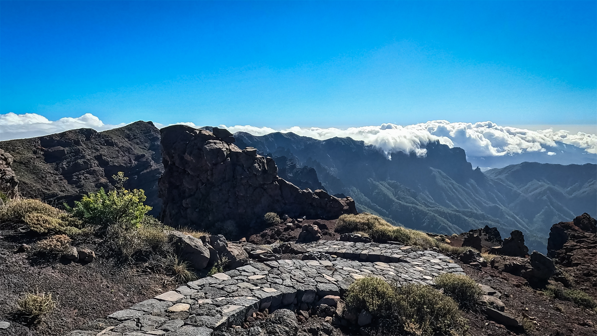
What makes it special: Despite this landscape diversity, many trails are remarkably quiet – you often experience the most spectacular scenery almost entirely alone.
Easy Hikes – for Beginners and Families
La Cumbrecita Circuit
Details: approx. 3 km | 185 metres of elevation | approx. 1–1:30 hours → La Cumbrecita walk in the Caldera de Taburiente
The perfect introduction to the landscape of the Caldera de Taburiente: a well-surfaced path leads to spectacular viewpoints including the Mirador de las Roques and the Mirador Lomo de las Chozas. Vertiginous views down into the huge volcanic crater and impressive mountain panoramas make this short walk one of the finest experiences for families and leisure walkers.
Important:
Car parking at the La Cumbrecita viewpoint is limited. A free online reservation via the official national park portal is therefore required.
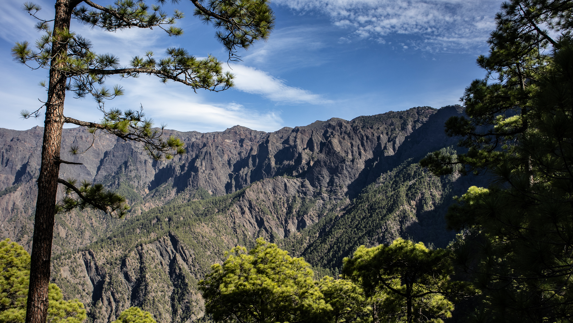
Mirador de Los Dragos (Barlovento)
Details: short stroll | approx. 15 minutes
A simple but rewarding excursion to impressive ancient dragon trees. The bizarre forms of these centuries-old plants are one of the special natural experiences in the north of La Palma.
Los Tilos – to the Cascada de Los Tilos
Details: approx. 1 km | minimal elevation change | approx. 0:20–0:30 hours → Walk to the Cascada de Los Tilos through the laurel forest
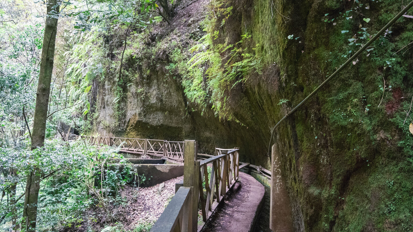
A short walk through one of La Palma’s greenest landscapes. From the Los Tilos visitor centre, the path leads through the dense laurel forest to the Cascada de Los Tilos waterfall. The damp, primeval forest character – with enormous ferns and moss-covered rocks – feels almost like a journey to another age.
Moderate Hikes – the Backbone of the Offering
Cubo de la Galga (PR LP 5.1)
Details: 8.4 km | 513 metres of elevation | approx. 3:30–4:00 hours → Cubo de la Galga circular walk – laurel forest and viewpoints
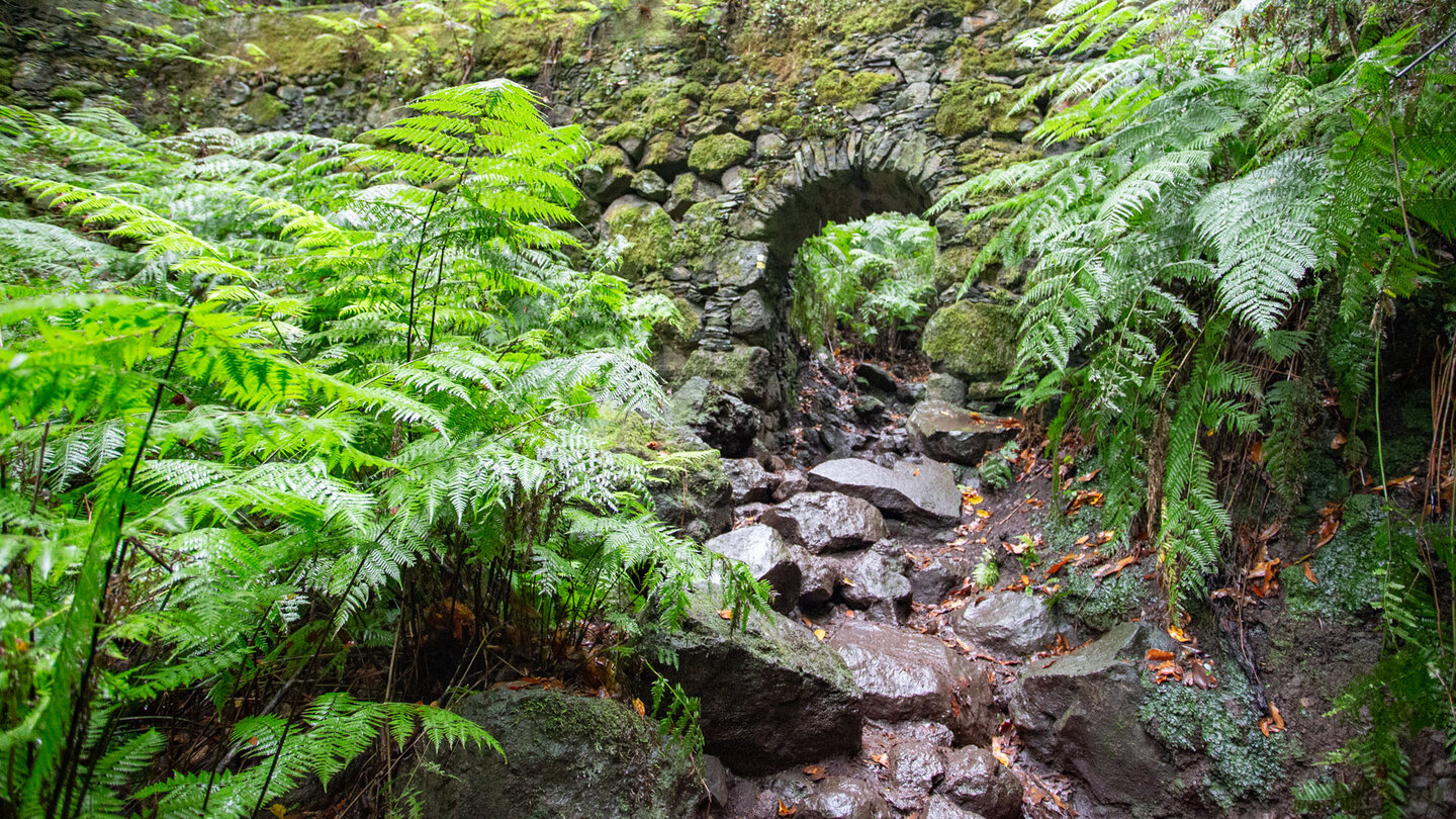
One of the finest circular walks through La Palma’s laurel forest. The path leads through a deeply cut ravine with dense vegetation, enormous ferns, and centuries-old laurel trees. Particularly striking is the combination of damp cloud forest and wide views over the north-eastern coast.
Mirador de Los Andenes – Roque de los Muchachos
Details: 7.1 km | 479 metres of elevation | approx. 2:30–3:15 hours → Walk from the Mirador de Los Andenes to the Roque de los Muchachos
A spectacular high-level walk along the upper rim of the Caldera. At over 2,200 metres in altitude, a magnificent view opens up into the volcanic crater nearly 1,500 metres below. On a clear day, Tenerife, La Gomera, and El Hierro appear on the horizon.
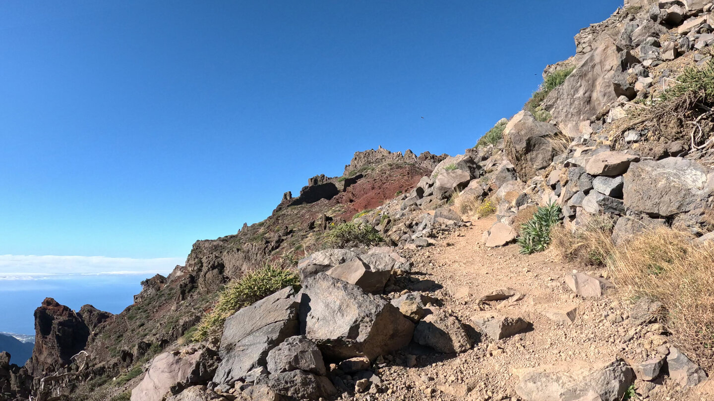
Pico de la Nieve – Erita de los Guanches
Details: 5 km | 327 metres of elevation | approx. 1:45–2:00 hours → Pico de la Nieve walk to the Erita de los Guanches
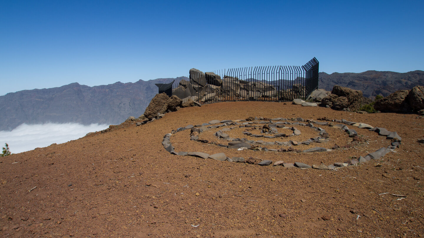
A short high-mountain circuit with an alpine character. The route offers fantastic panoramic views and is ideal for walkers who want to get a first impression of La Palma’s mountain world without a long tour.
Challenging Hikes – for Experienced Mountain Walkers
The Caldera Crossing – a Classic in Renewal
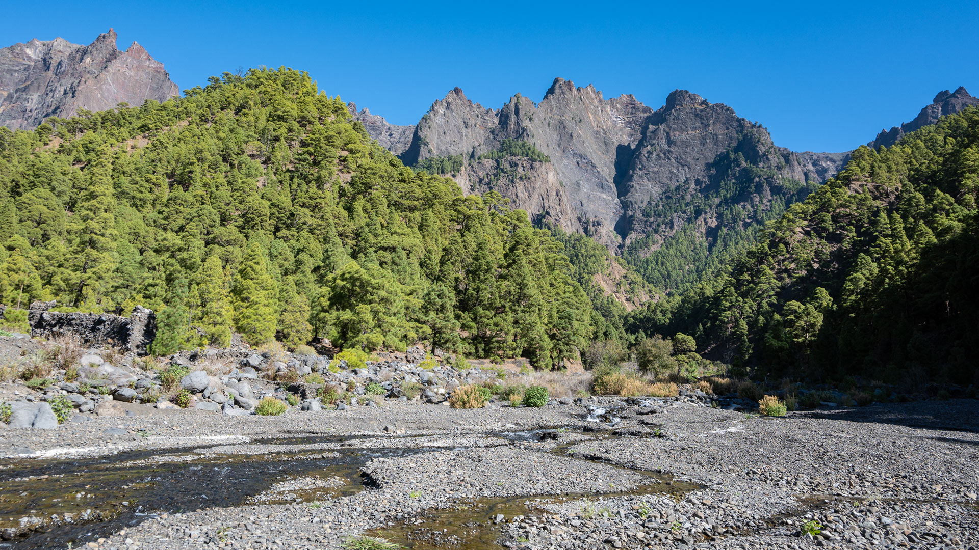
Details: approx. 13–14 km | 81 m ascent / 1,156 m descent | 5:30–7:00 hrs → Los Brecitos – Playa de Taburiente – Barranco de las Angustias
The great crossing of the Caldera de Taburiente is one of La Palma’s most spectacular hikes. From the Los Brecitos viewpoint, the path leads through ancient Canarian pine forest down to the idyllic Playa de Taburiente. It then continues through the vast ravine landscape of the Barranco de las Angustias back to the starting point.
Alternative when restrictions apply:
Those wishing to experience the landscape of the Caldera can still undertake individual sections – for example from Los Brecitos to the Playa de Taburiente and back, or from the Barranco de las Angustias up to the impressive Cascada de Colores.
Ruta de los Volcanes – El Pilar to Fuencaliente
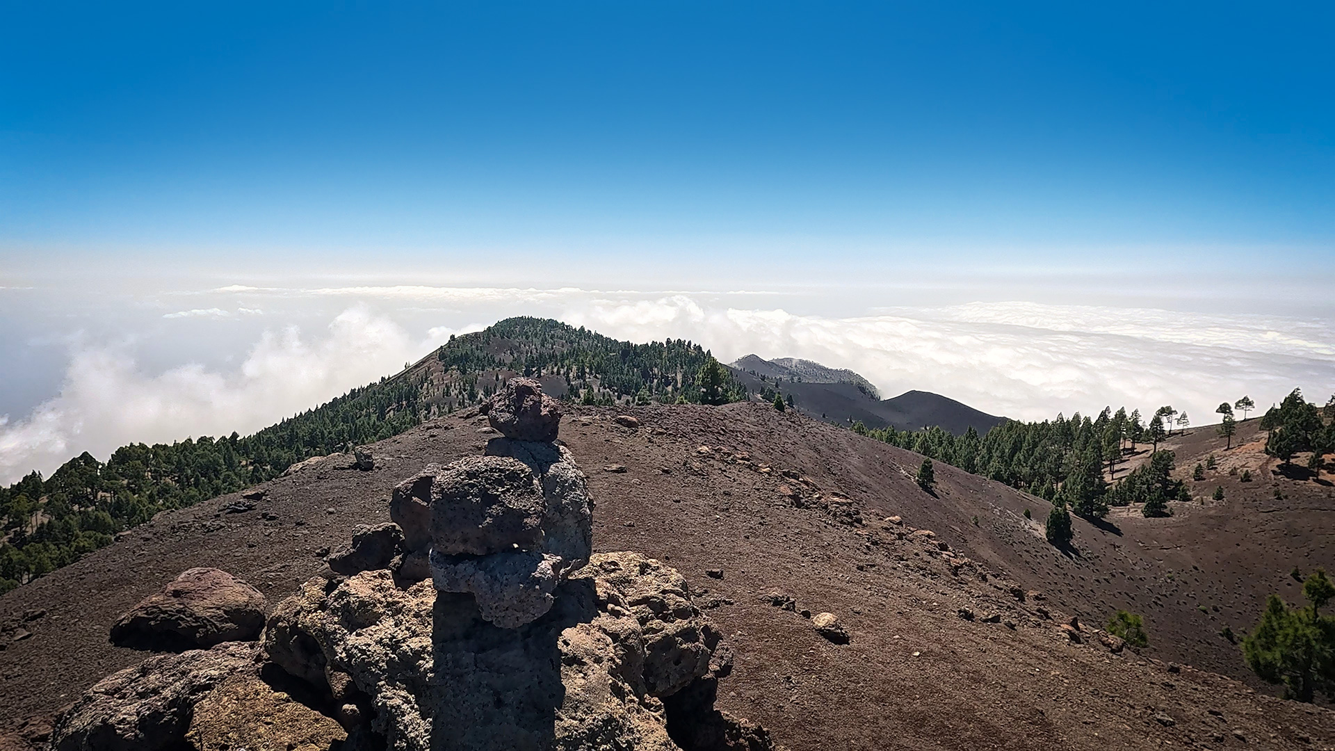
Details: 18.7 km | 775 m ascent / 1,521 m descent | approx. 6–7 hours → Ruta de los Volcanes – walk along the Cumbre Vieja volcano chain
The classic route through the volcanic landscape of the Cumbre Vieja. Across black ash fields, old craters, and colourful volcanic cones, the path traverses the southern ridge of the island. The combination of young volcanic landscapes, Canarian pines, and endless panoramic views makes this one of the most impressive hikes in the Canary Islands.
Marcos y Cordero (PR LP 6) – the Tunnel Walk
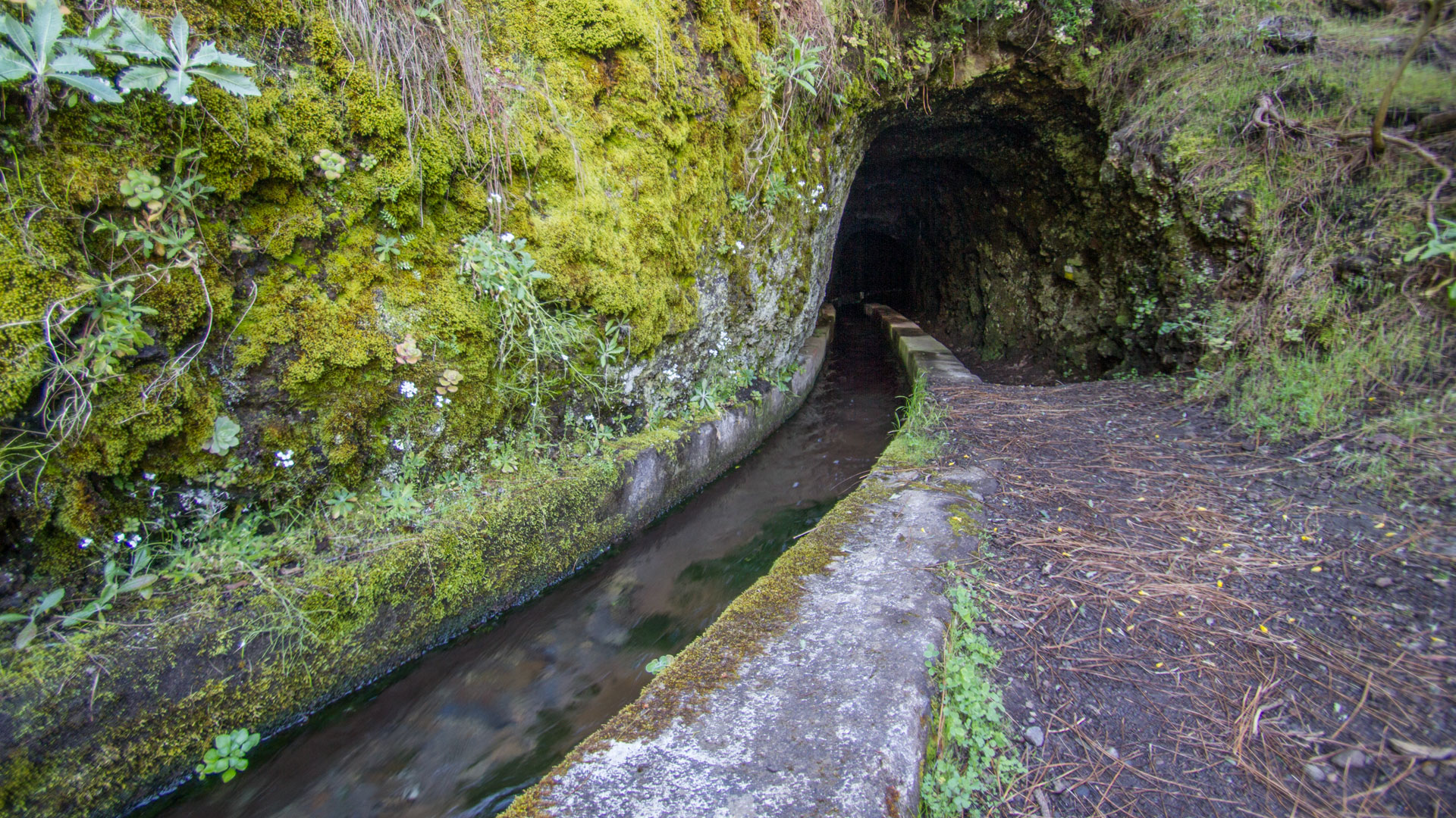
Details: approx. 11 km | 580 m ascent / 1,406 m descent | approx. 5:00–6:30 hours → Marcos y Cordero tunnel walk – through the water tunnels in the laurel forest
The legendary tunnel route in the north of La Palma is again partially accessible. From the Casa del Monte, the path leads through the first twelve water tunnels to the Marcos y Cordero springs. The subsequent descent through the laurel forest leads to Los Tilos – not yet fully possible at present.
Equipment:
A head torch or hand torch, sturdy footwear, and rain protection are recommended. The twelfth tunnel in particular is a special experience, as water drips from the ceiling throughout.
The GR-130 – Circumnavigating La Palma in Stages
The GR-130 Camino Real de la Costa y Medianías follows historic royal roads all the way around the island. Its eight stages display the full diversity of La Palma: wild ravines in the north, traditional villages and banana plantations along the coasts, green landscapes in the west, and the volcanic regions of the south. Anyone wishing to explore the island intensively on foot will find the perfect multi-day tour here.
The Most Important Hiking Rules on La Palma
Not Komoot, not AllTrails as your primary navigation – the official trail markings (yellow-white for PR routes, red-white for GR routes) are the most reliable guide. Sunhikes.com offers verified route descriptions for La Palma.
Check current information:
Weather, landslides, and repair work can affect trails at short notice. Before any major tour, it is worth checking the latest information from the national park or the Cabildo de La Palma.
Follow official markings:
The hiking trails are excellently waymarked. Yellow-white markings indicate PR routes; red-white markings indicate GR long-distance trails; white-green markings indicate local paths.
Don’t underestimate the weather:
The climate on La Palma changes extremely rapidly. Temperature differences of more than 15 degrees can occur between the coast and the summit.
Ravines require caution:
After heavy rainfall, ravines can become dangerous within a short time. The Barranco de las Angustias in particular should be avoided in uncertain weather conditions.
Information Sources for Hikers
Current information on trail conditions is provided by the national park visitor centre in El Paso and the official pages of the Cabildo de La Palma. For verified route descriptions, GPS tracks, and detailed hiking information, Sunhikes.com offers a comprehensive overview of La Palma’s hiking trails.
Frequently Asked Questions (FAQ)
Which is the most beautiful hike on La Palma?
Do you need a particular level of fitness to hike on La Palma?
Can you hike on La Palma in winter too?
Are the hiking trails on La Palma well waymarked?
What equipment do you need for hiking on La Palma?
This article is based on the on-the-ground knowledge of the Gequo editorial team – publishers of the Reisezeit hiking guides and operators of Sunhikes.com. Last updated: May 2026