
Ruta de los Volcanes: the large volcanic ridge from El Pilar to Fuencaliente
The Ruta de los Volcanes is an 18.7 kilometer long high-altitude hiking trail over the mountain ridge of the Cumbre Vieja. It leads from the rest and camping area Refugio El Pilar at 1,455 meters on the long-distance hiking trail GR-131 over all the important volcanic cones of the southern ridge: Pico Birigoyo, Hoyo Negro, Nambroque, Duraznero, Deseada and Vulkán Martín – until the descent through dense pine forest to Fuencaliente. At the end point there is a taxi rank and a bus stop.
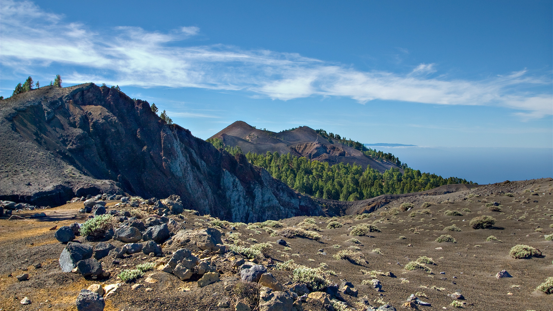
775 m ascent, 1,521 m descent, difficult. The route requires sure-footedness on lapilli and lava rock, good basic fitness and resistance to vertigo. It is one of the most beautiful tours in La Palma – and one of the most frequented.
Those who walk it walk through several decades of volcanic history: the San Juan eruption of 1949, which left its mark on the crater Hoyo Negro and the lava lake Lavas la Malforada, and the Tajogaite, whose eruption in 2021 is visible from the summit of Deseada.
Route facts at a glance
| Route type | Distance (start El Pilar, destination Fuencaliente / Los Canarios) |
|---|---|
| Distance | 18.7 km |
| Altitude | 775 m ascent / 1,521 m descent |
| Highest point | 1,917 m |
| Lowest point | 715 m (Fuencaliente) |
| Duration | 6:00-7:30 hours |
| Difficulty | Hard |
| Starting point | Refugio El Pilar, 1,455 m (LP-301, western tunnel exit) |
| Ending point | Fuencaliente / Los Canarios (taxi rank + bus stop) |
| Path marking | GR-131 (red-white marking) |
| Protection status | Parque Natural Cumbre Vieja |
| Equipment | Water, provisions, sun protection, sturdy shoes, rain and wind protection |
Directions and starting point
The starting point is the Refugio El Pilar rest area, which is located between the Cumbre Nueva and the Cumbre Vieja at 1,455 meters. Accessible from the Santa Cruz de La Palma – Los Llanos road; After the western tunnel exit, take the regional road LP-301. At the Refugio there is free parking, drinking water, toilets and barbecue areas.
Plan your way back
The route is simple – no return on the same path. At the Fuencaliente end point there is a taxi rank and a bus stop. Plan for a second car at your destination or a pick-up. Alternatively: Taxi from Fuencaliente back to El Pilar.
Early start
For 18.7 km and 6 to 7:30 hours of walking, start at 7:30 a.m. at the latest. The highest sections of Deseada and Hoyo Negro are unpleasant in strong winds and clouds – those who start early have the best conditions there.
The route in detail
The Ruta de los Volcanes follows the GR-131 over the southern ridge of the island. It changes ground, vegetation and character several times – from pine forest to open lapilli areas to the summit ridges with an island panorama.
First section: El Pilar – Mirador Birigoyo and Hoyo Negro
From Refugio El Pilar, the GR-131 initially climbs uphill through pine forest. You reach the Mirador Birigoyo, from which you have a view over the Aridane Valley, the Pico Bejenado and the mountain ranges of the Caldera de Taburiente. The path leads in a large arc around the Pico Birigoyo volcanic cone.
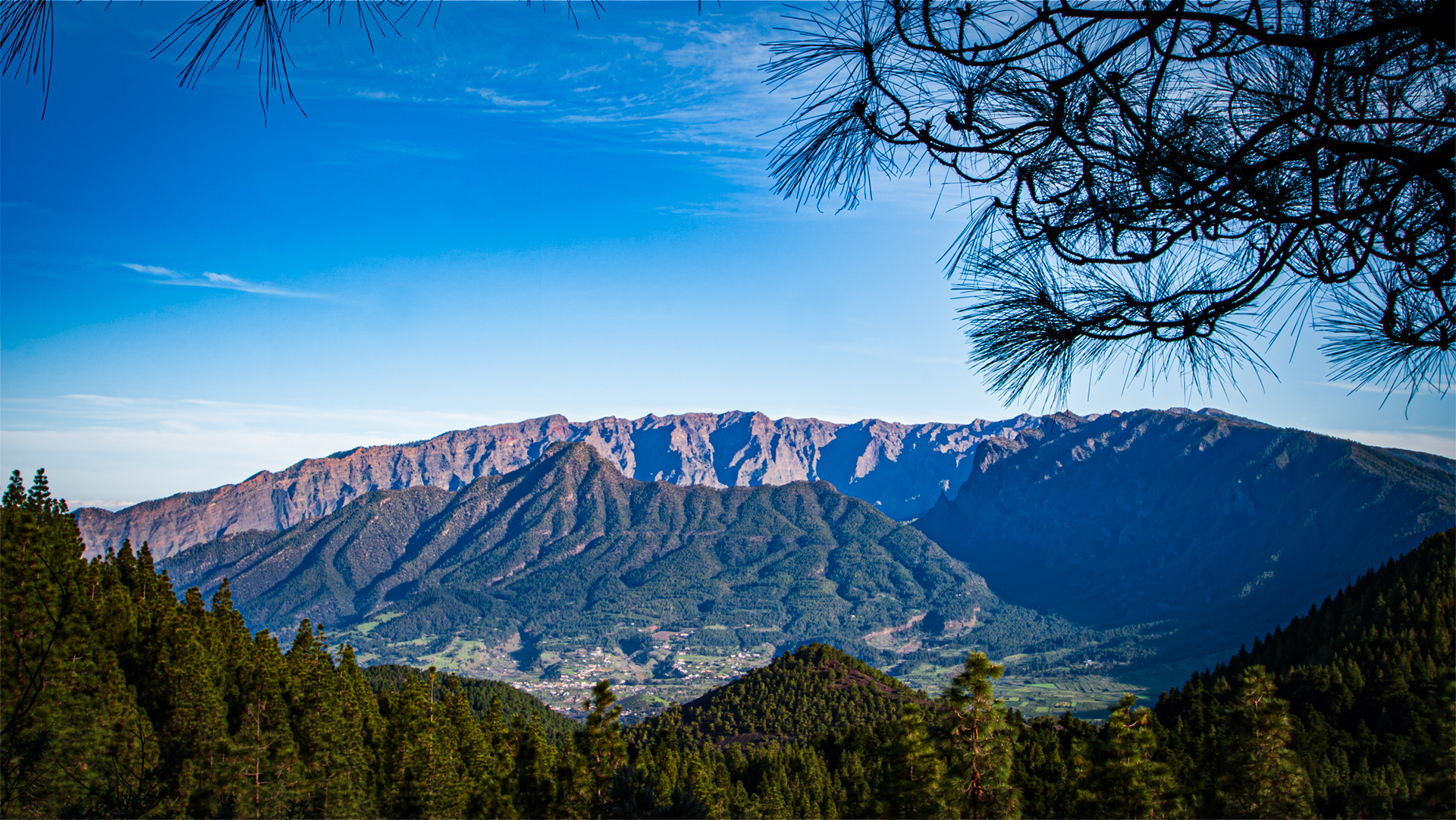
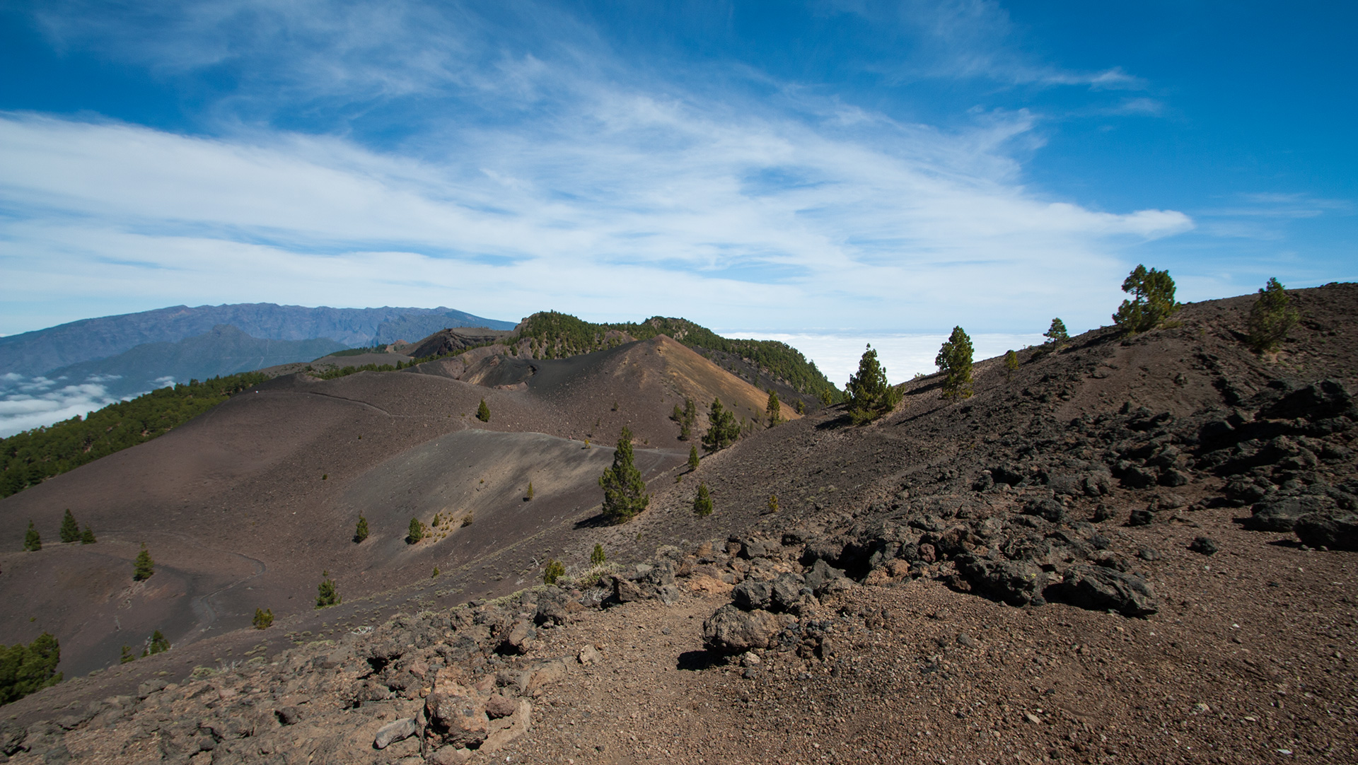
Little by little the forest thins out. The path runs over open volcanic rock and lapilli areas to a ridge with a wide panorama. You cross a small bridge over a fault that was created by the earthquakes of the San Juan eruption of 1949. Soon you will approach the Cráter Hoyo Negro – the main eruption centre of the San Juan eruption.
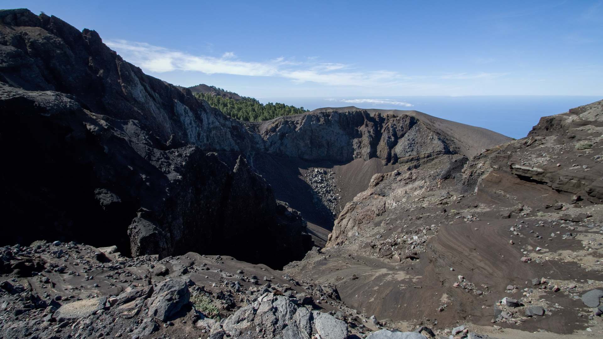
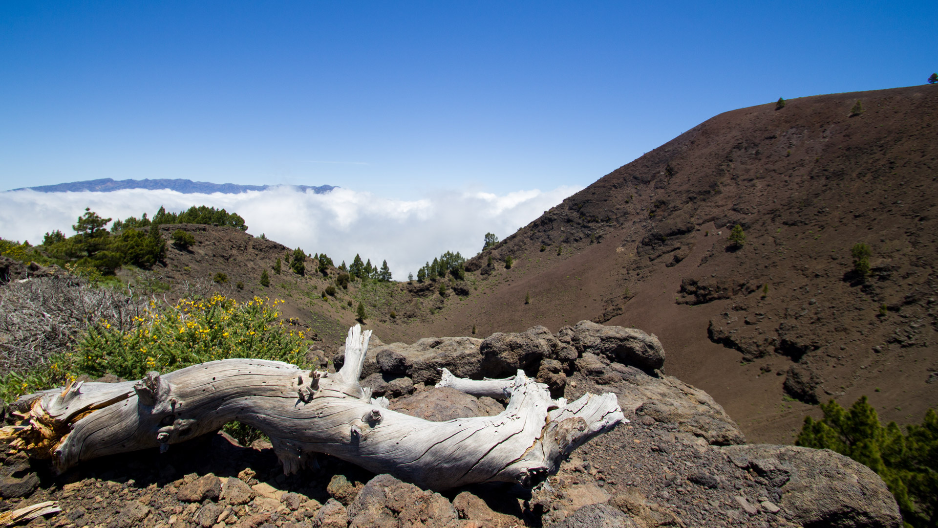
The Hoyo Negro (English “black hole”) is a deep explosion crater with strong traces of erosion. The numerous layers of rock in different shades of brown show what the crater ejected in a single eruption. From the viewing point at Hoyo Negro you can look over the crater to the highest mountains on the route: Duraznero and Deseada. In the background is the neighboring island of El Hierro on the ocean.
Second section: Detour to Nambroque, lava lake Lavas la Malforada
After Hoyo Negro there is a short climb to a small pine forest. Depending on your fitness, you can take a detour to Pico Nambroque at a crossroads. The main path leads downhill along a narrow path between old pine trees to a natural viewpoint.
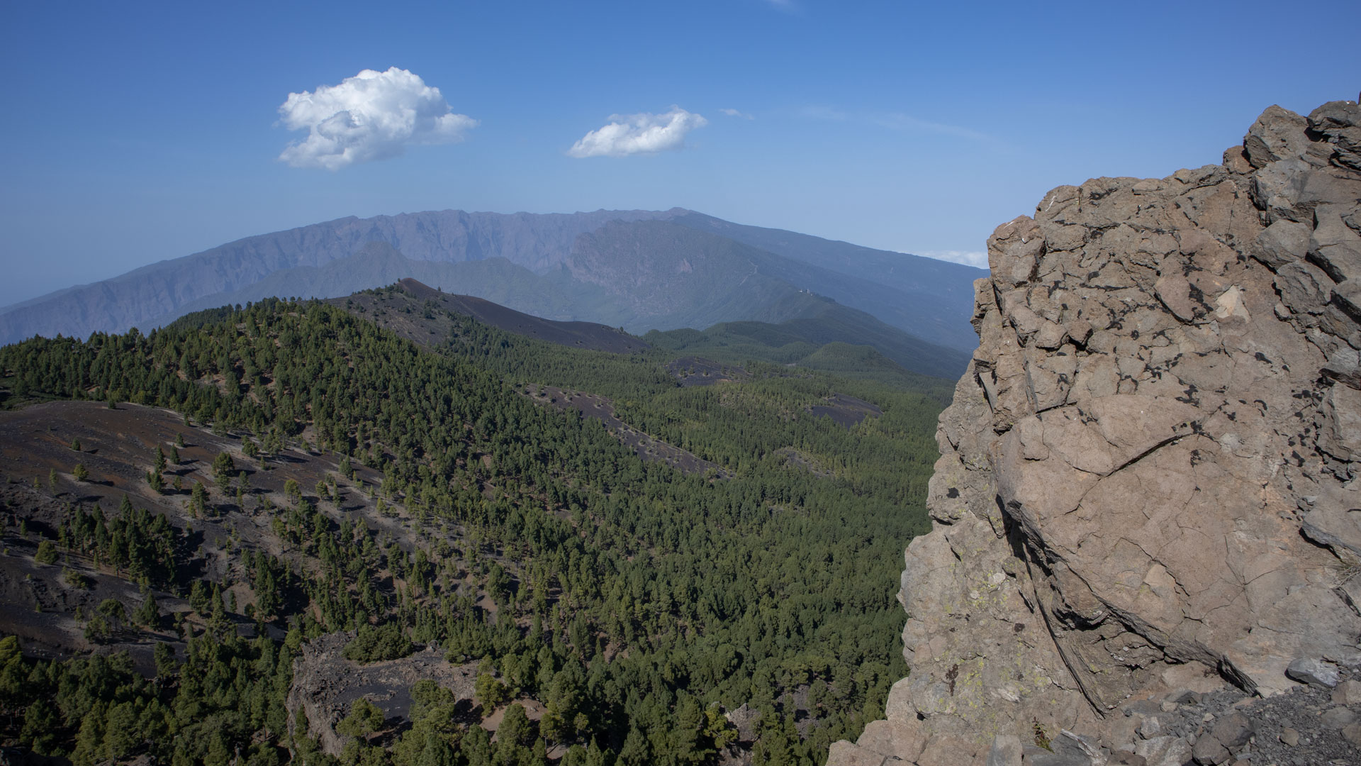
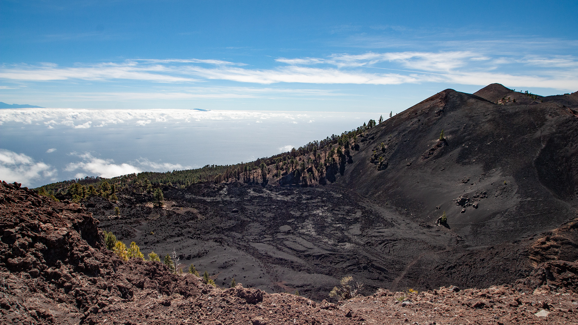
From there you can see the solidified lava lake Lavas la Malforada with the Montaña del Fraile and the Duraznero crater behind it. The twin peaks of Deseada rise in the background. This viewpoint is one of the most photographically impressive on the entire route.
Third section: Duraznero crater and Deseada peak (1,917 m)
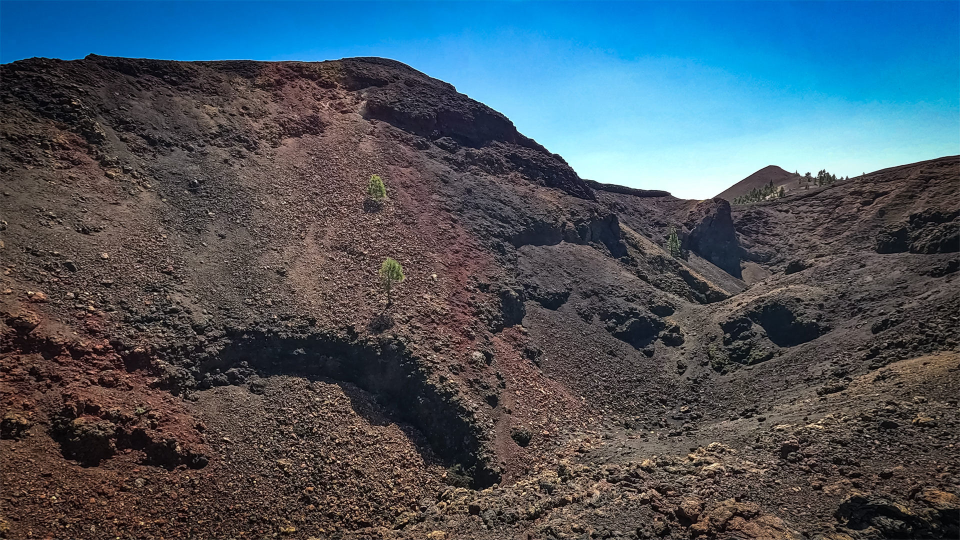
At a fork in the road on a small mountain ridge above the lava lake, the official GR-131 leads to the right – in an arc around the Crater de Duraznero, then steeply to the summit of Deseada II. Sure-footed hikers who have no fear of heights can climb straight up to the colorful crater Duraznero via a side path: through loose lava rock, past volcanic fissures to the spectacular one Crater rim.
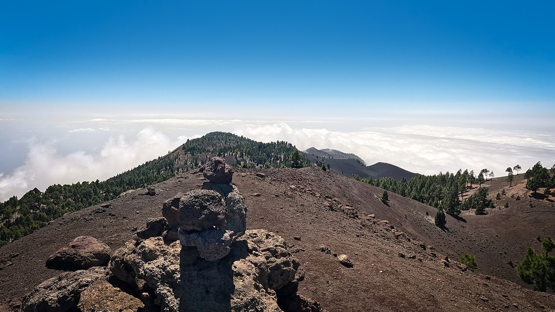
From Deseada II (1,933 m) — just below the highest point of the route — you can see the crater of Tajogaite, which erupted in 2021, just before the summit post. The lava masses that poured over the Aridane Valley to the sea can also be clearly seen. The Deseada I (1,945 m), the highest volcano in the Cumbre Vieja, is located centrally on the ridge. From there the view extends over the entire volcanic chain to the neighboring islands.
Fourth section: Guãnches plain, Mirador Martín volcano
Continue south on the GR-131 over the Cumbre Vieja mountain ridge. On the way, the volcanic cones Montaña los Bermejales and Montaña de los Lajiones get closer. The path leads over a flat depression into the Guãnches Plain – a plateau of black picón with shrub and pine growth.
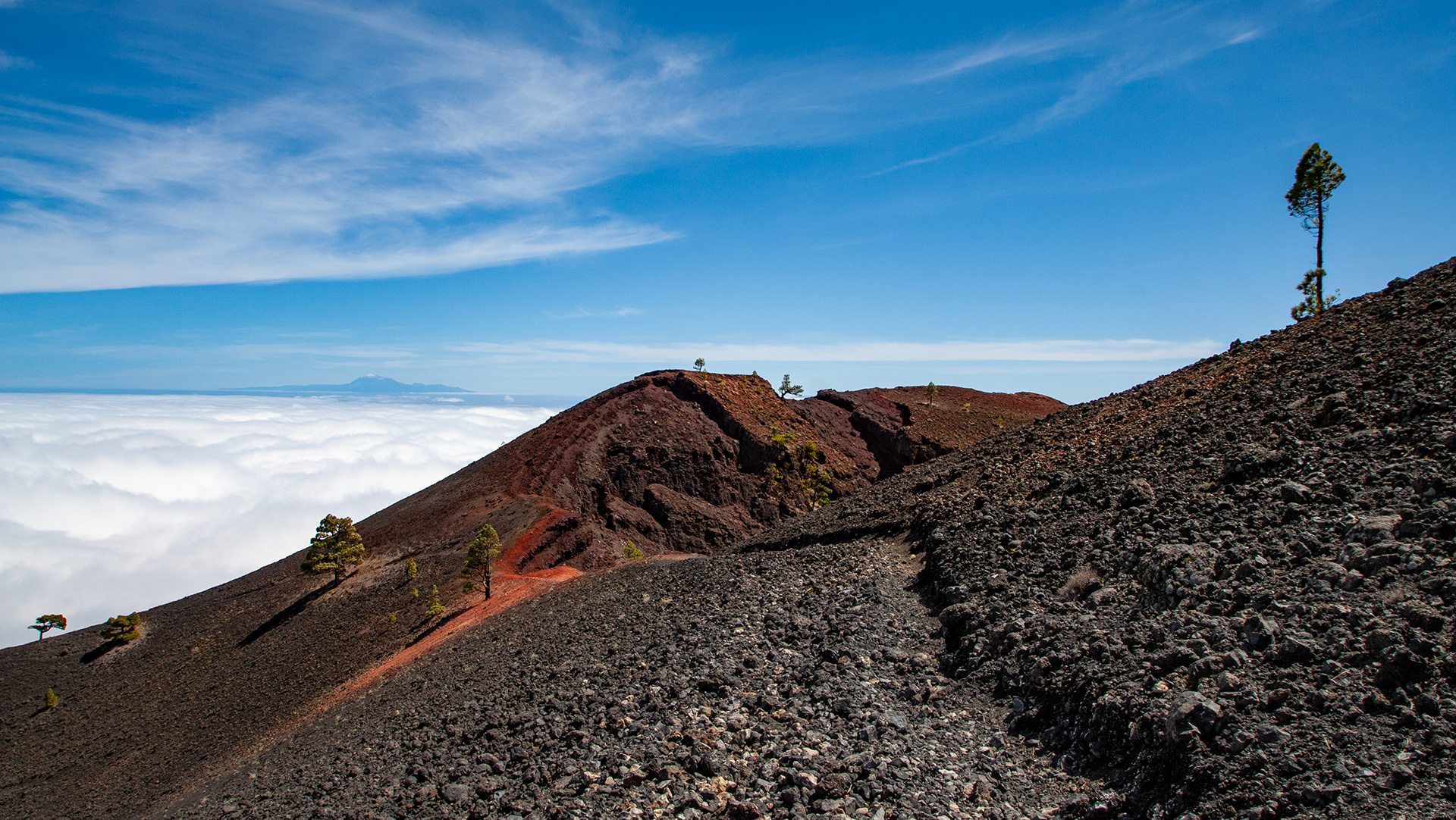
The route runs almost continuously downhill through fine lava granules. You go around the Montaña Cabrito in an arc and reach the Mirador de Vulkán Martín (also: Mirador de la Montaña Cabrita). From the viewpoint you can look over black lapilli fields to the red cone of the Martín de Tigalate volcano (1,591 m) as well as the Bucara and Los Faros volcanoes. The red crater rim of Martín is worth a short detour.
Fifth section: Descent to Fuencaliente
Behind the Martín volcano, the route descends over volcanic ash fields, slippery and steep in places. To the left of the path, spectacular lava faults and huge exposed lava tunnels can be seen beneath the Martín volcano.
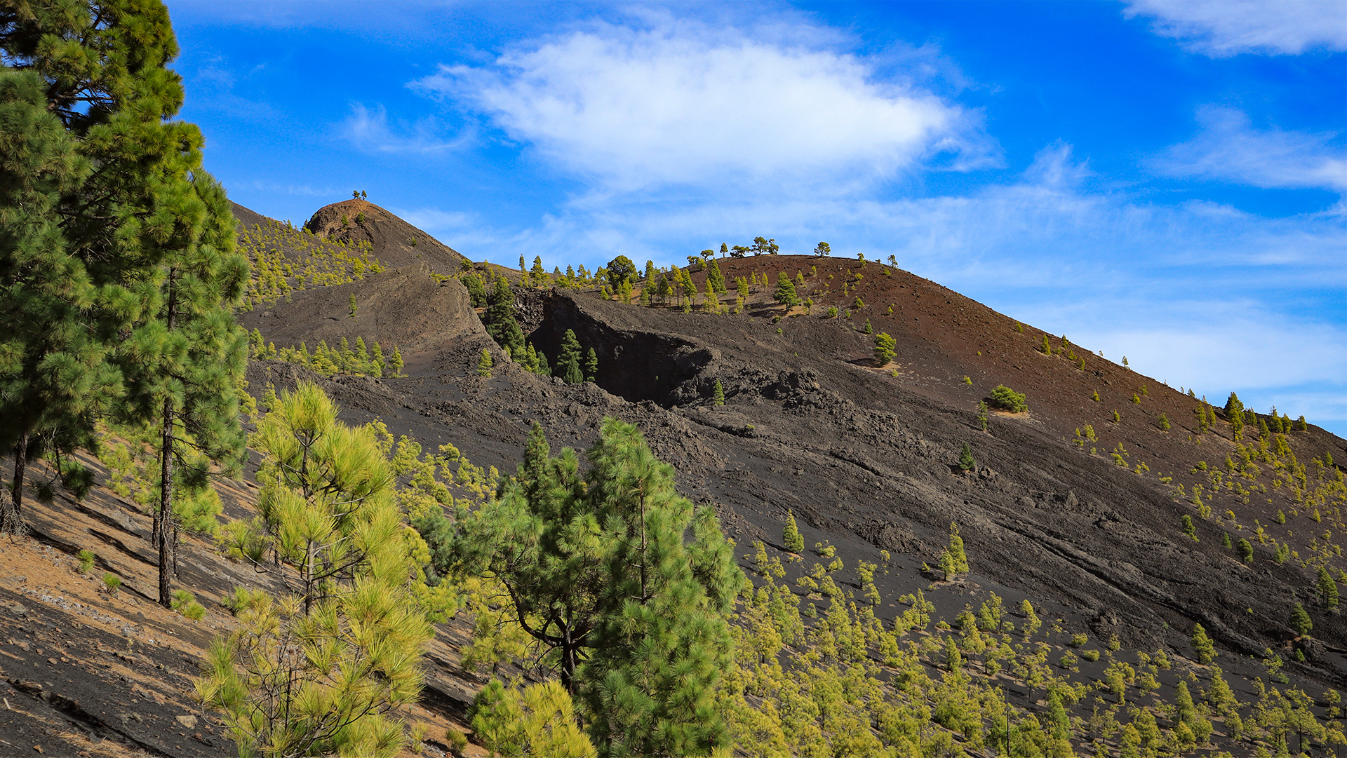
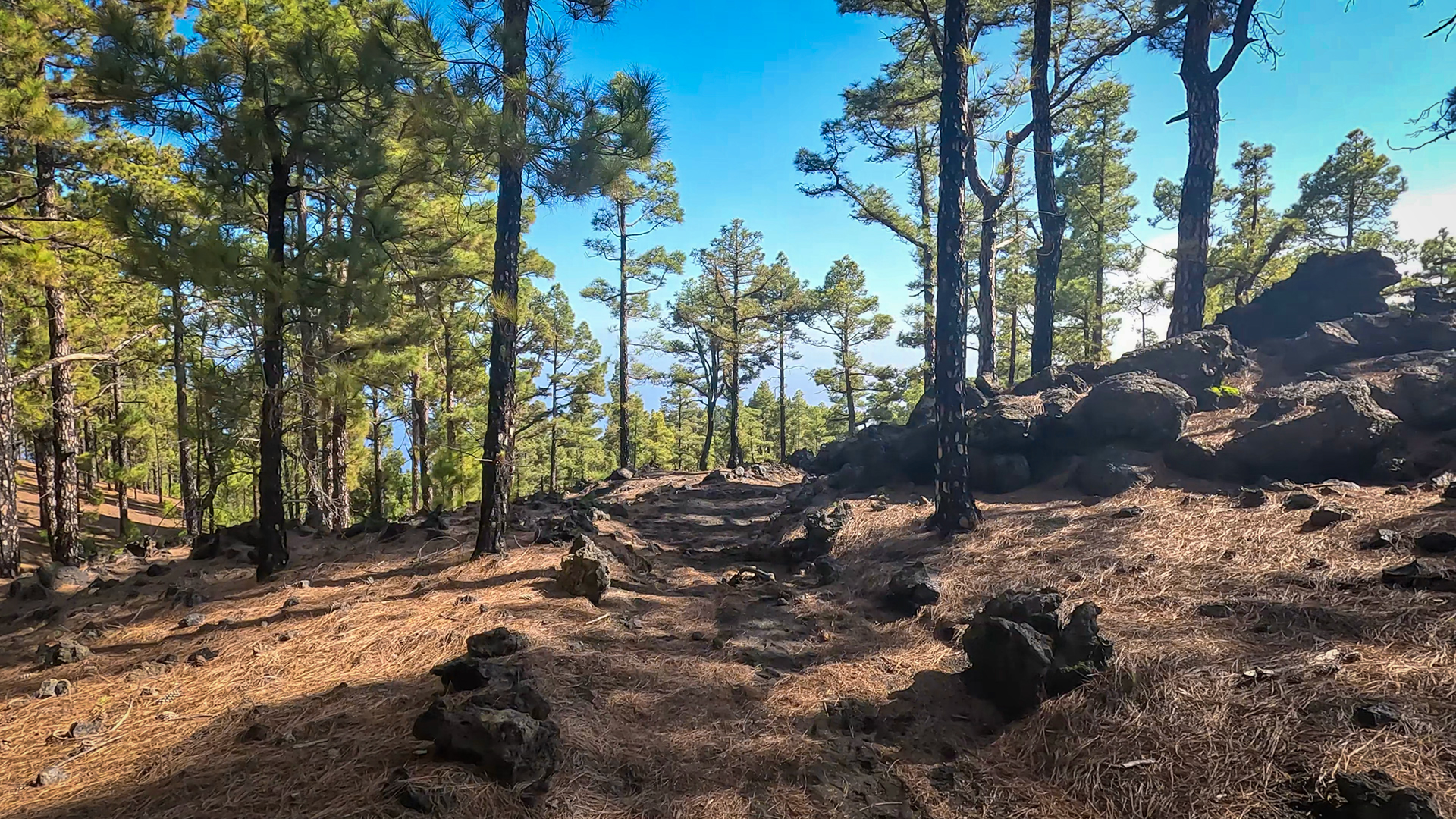
Then you hike gently up and down through a sparse pine forest. Below the Montaña de Fuego you pass the junction to the Fuente de los Roques rest area and from there descend through dense Canarian pine forest to Fuencaliente. At the entrance to the town on the main street there is a taxi stand and a bus stop.
Geology: What you see on the route
The Ruta de los Volcanes is an open-air museum of volcanism. The Hoyo Negro and fault bridge document the San Juan eruption of 1949: three eruption centres in a 4 km long fissure. The lava lake Lavas la Malforada at Montaña del Fraile is a solidified overflow from this eruption.
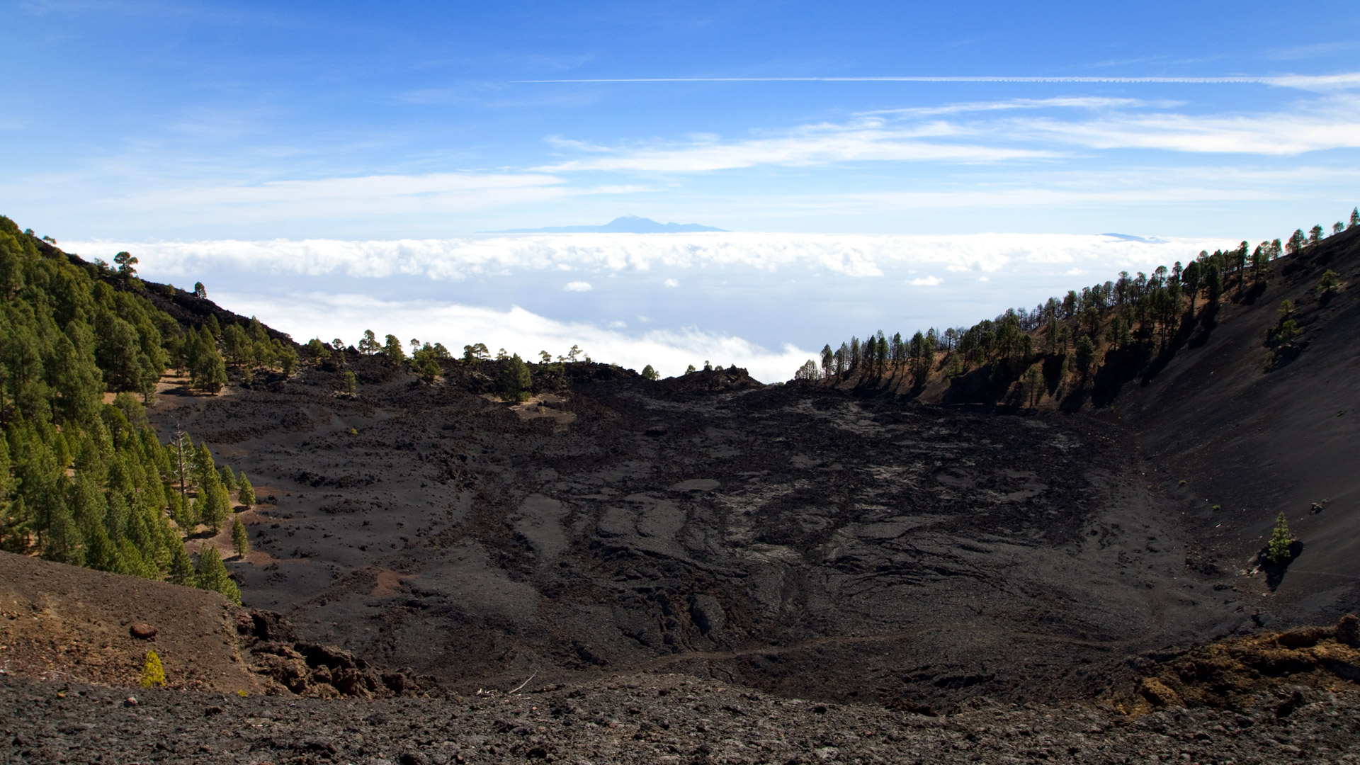
The Deseada I (1,945 m) is the highest point in the Cumbre Vieja and is centrally positioned on the ridge. From its crater rim you can see the most recent side of the same volcanic chain, the Tajogaite lava field to the west: an eruption that lasted in 2021 and produced the Canary Islands’ youngest lava field.
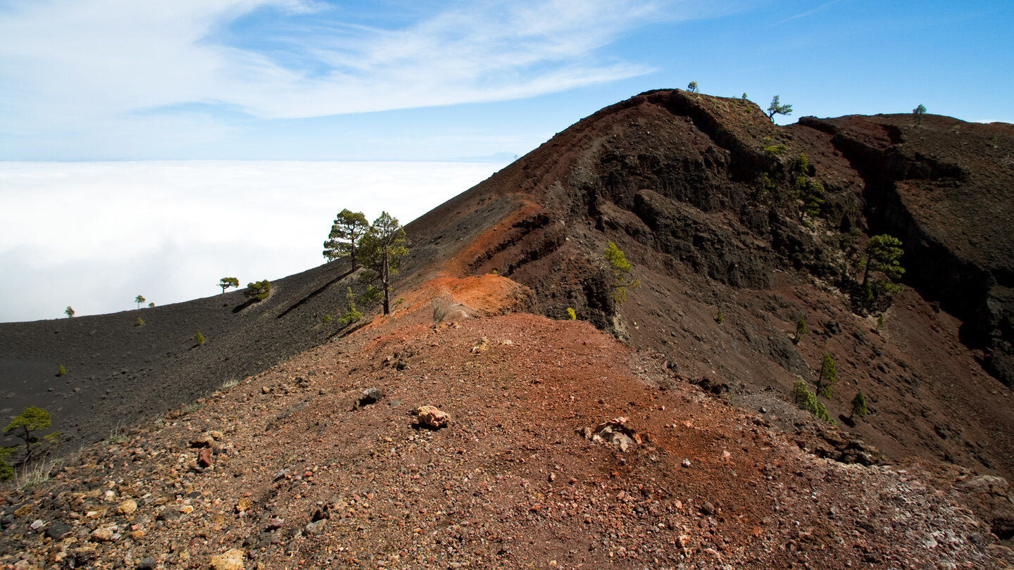
The Martín de Tigalate volcano with its red crater is the counterpart: its first eruption dates back to 1646. Between 1646 and 2021 there are almost 400 years of volcanic history – all visible on one route.
The Tajogaite — visible from Deseada
Shortly before the summit post of Deseada II, the view opens up of Tajogaite: the volcano that erupted on September 19th, 2021 and only went out on December 13th, 2021. It was created on the western slope of the Cumbre Vieja, around 1,700 meters northwest of the Llano del Banco volcano. The lava masses flowed westward across the Aridane Plain and buried towns, roads and agricultural areas. Two new lava platforms emerged where the streams fell into the sea.
From the summit of Deseada you can see both at the same time: the Tajogaite cone with its solidified lava flows and the extensive lava field to the west. It is the youngest volcanic area in the Canary Islands. Anyone who walks the Ruta de los Volcanes is literally standing on the roof of this story.
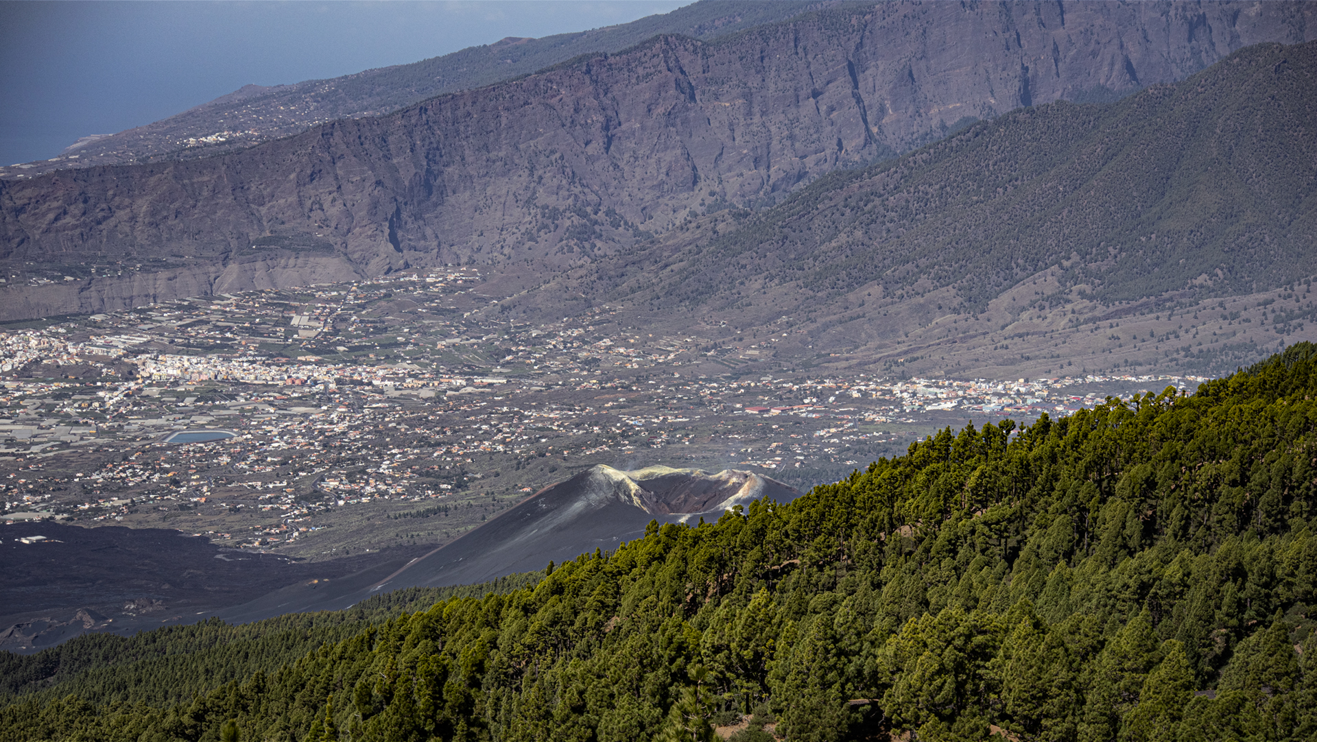
Important: Tajogaite is the name of the volcano and the eruption. The Cumbre Vieja is the mountain system and the natural park – not the eruption itself. This difference is often confused in the public perception.
Climate on the ridge of the Cumbre Vieja
The ridge of the Cumbre Vieja acts as a weather divide: the trade winds coming from the northeast hit the ridge and pile up the clouds on the east side. The west side — the descent to Fuencaliente — is significantly sunnier and drier. At the top of the ridge, both climate characters can be present at the same time: clouds and humidity on the left, sun and clear visibility on the right.
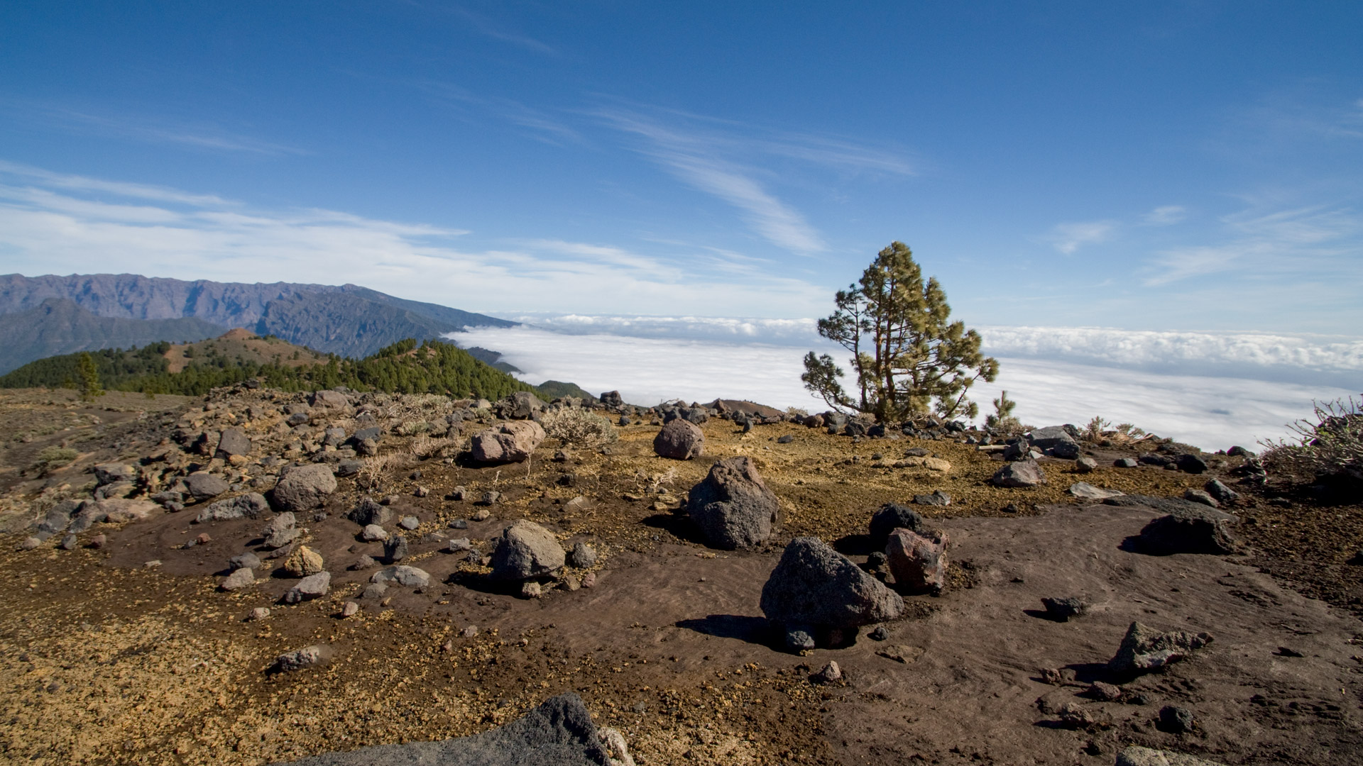
In the winter months the temperature at Deseada and Hoyo Negro can drop below freezing. Snow on the peaks is rare but possible. Even on warm autumn days, strong gusts can occur on the ridge, making the ridge passages unpleasant. Wind and rain protection in the backpack is mandatory – not optional equipment.
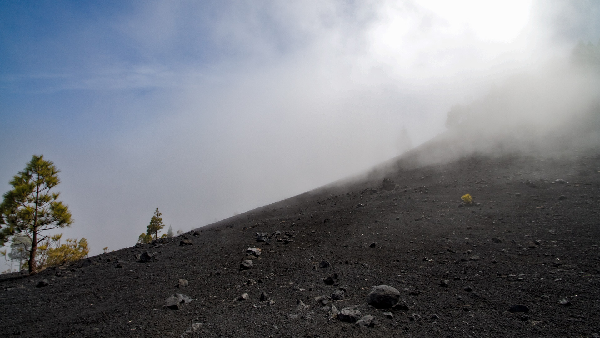
On special days, the phenomenon of the Cascada de Nubes over the Cumbre Nueva can be observed on the descent from Deseada: trade wind clouds “fall” over the mountain ridge and dissolve in the sun on the west side – a natural spectacle that cannot be seen so clearly from any other place on the island.
Those who are well trained for the lapilli fields between the Guánches plain and the Martín volcano will appreciate the last section through the dense pine forest as a relaxation: the path becomes softer, the shadow is thicker, the pace is calmer. After 18.7 kilometers, this is a welcome change.
The route is very busy – Sunhikes lists it as “heavy utilization”. On weekends in autumn and spring you regularly meet other hiking groups on the ridge between Hoyo Negro and Deseada. That changes after the Martín volcano: in the pine forest descent to Fuencaliente you are mostly alone.
The taxi stand on the main street in Fuencaliente is not an elegant end to the hike – but a practical one. Anyone who has completed the 18.7 km is happy about it.
Best travel time
| Season | Character | Note |
|---|---|---|
| Spring (March-May) | Mild, good light, long day | Optimal conditions |
| Summer (June–Aug) | Hot for lapilli; Ridge mostly clear | Early start required; enough water; UV protection |
| Autumn (Sept–Nov) | Best light, clear island view | Best travel time; Deseada panorama at peak level |
| Winter (Dec–Feb) | Clouds possible on peaks, frost | For very experienced people only; Storm possible on ridge |
Equipment
| Footwear | High mountain boots, ankle high – lapilli and lava rock all day long |
|---|---|
| Water | No spring on the route – take enough water from El Pilar |
| Food | Full meal + snacks for 6-7:30 hours |
| Windbreak | On ridge sections (Deseada, Hoyo Negro) gusts can be strong |
| Rain protection | Cumbre Vieja changing; especially autumn/winter |
| Sun protection | Lapilli sections are shadeless – sunscreen and hat |
Combinable tours
| Tour | Data | Character |
|---|---|---|
| Circular hike Birigoyo + Nambroque | 15.8 km, 733 m / medium | Short alternative from El Pilar with the same peaks |
| Detour Pico Nambroque | +approx. 1 h | Optional on the Ruta: turn off at the crossroads to Hoyo Negro |
| Detour to Duraznero Crater | +approx. 30 min | Via side path; only for sure-footed hikers who have no fear of heights |
| Detour to Vulkán Martín crater rim | +approx. 20 min | Red Crater; very rewarding; short detour from the main path |
GPS track and 3D route planner
All data for the Ruta de los Volcanes — distance, elevation profile, waypoints and GPX track — on the route page of the Sunhikes hiking portal.
To the route page on Sunhikes: Ruta de los Volcanes
Plan your own route with the 3D route planner from Sunhikes
Practical Tips
Emergency call: 112 – logs into the strongest available network. There is patchy reception on the Cumbre Vieja ridge, but not reliable. Share location before start.
At the end point Fuencaliente there is a taxi rank and a bus stop on the main road. If you don’t have a second car, it’s best to call the taxi when you go down so that it waits for you to arrive.
The Lapilli sections slow down the pace considerably – do not calculate with normal mountain trail speed. Two hiking poles are a noticeable help, especially on the long descent from Deseada towards Fuencaliente.
Note: Nature Park and Nature Conservation
The route lies entirely in the Parque Natural Cumbre Vieja. There is a travel ban, rubbish removal and an absolute ban on fire. In the dry season, the risk of fire in the pine forest is extremely high.
Frequently asked questions
Where does the Ruta de los Volcanes end?
What is the Hoyo Negro?
Can you visit the Duraznero crater?
How difficult is the route?
Is there water on the route?
This article is based on the on-site knowledge of the Gequo editorial team – publisher of the Reisezeit hiking guides and operator of Sunhikes.com. As of: May 2026


