Climate Zones of La Palma: From Beach to Summit in 30 Kilometres
One of La Palma’s most fascinating characteristics is that you can travel through five completely different climate zones within just 30 kilometres horizontally. From the black lava beach at sea level to the Roque de los Muchachos at 2,426 metres, you find annual temperatures, vegetation, and ecosystems that on other islands would be separated by thousands of kilometres.
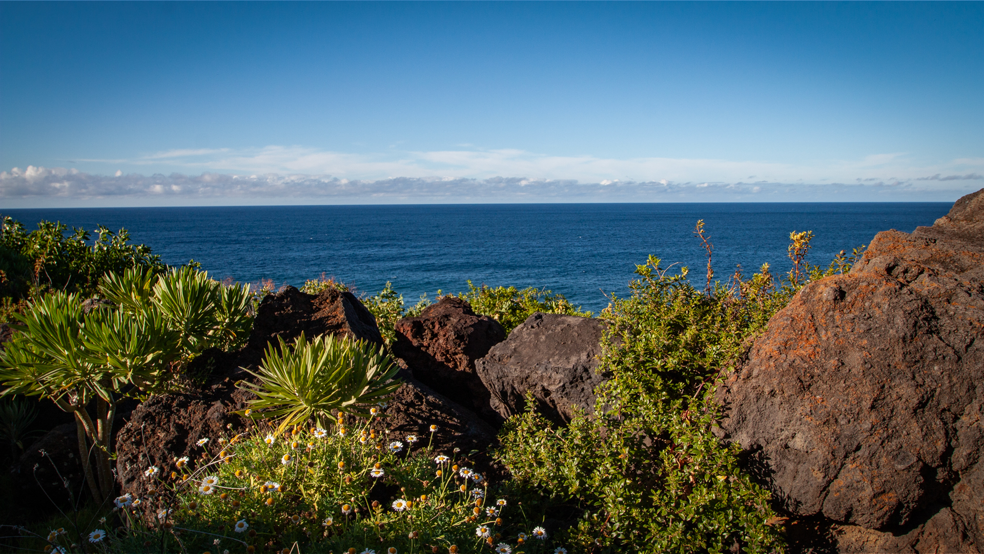
Zone 1: Coast and Lowlands (0–300 m)
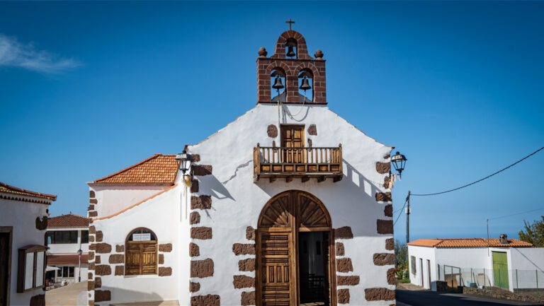
The lowest zone is the driest and hottest. On the west coast — Tazacorte, Puerto Naos, Fuencaliente — euphorbia plants, tabaibas, and candelabra euphorbias dominate. The vegetation looks sparse; sunshine hours are at their maximum. The banana plantations, which extend from the coast up to around 300 metres, require artificial irrigation. In winter, temperatures rarely drop below 15°C; in summer, they rarely surpass 28°C.
Zone 2: Transition Zone (300–700 m)
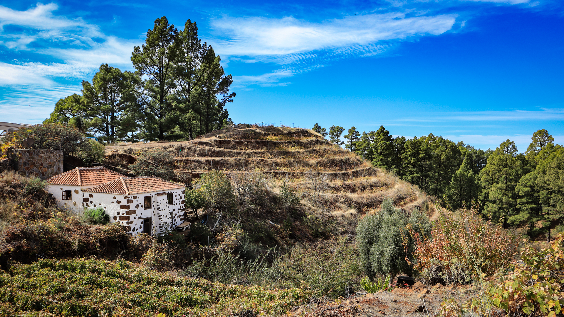
In the middle zone, vegetation becomes denser and more diverse. Dry lower-elevation plants meet moister forest communities; depending on slope orientation, spurge and early laurel species can grow side by side. Humidity rises as the trade wind clouds more frequently reach the hillsides.
Vineyards, avocado plantations, and vegetable gardens thrive in the mild climate. Villages like El Paso and Tijarafe sit partly in this transition zone — warm enough for fruit, cool enough for comfortable living.
Zone 3: Laurel Forest (Laurisilva) (700–1,600 m)
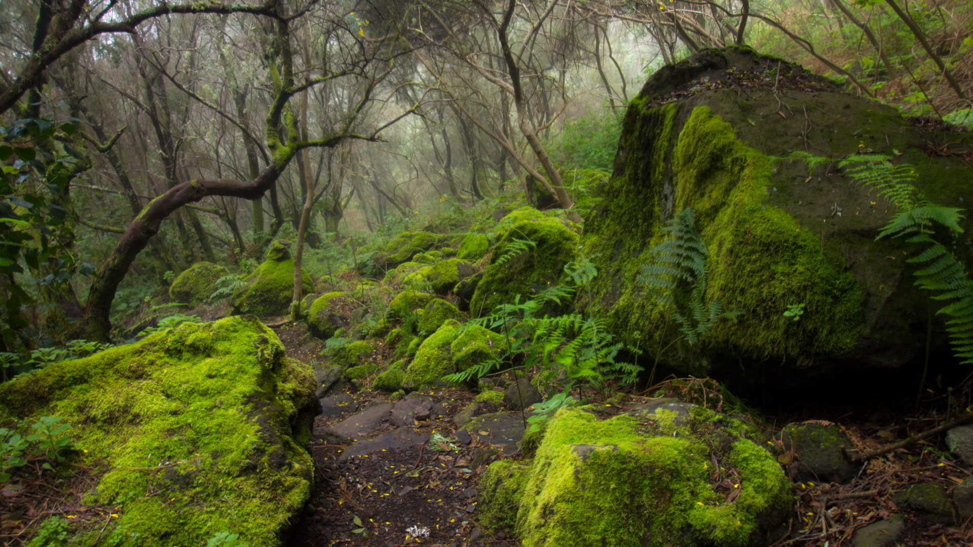
The laurel forest belt is La Palma’s most moisture-rich woodland zone. Trade wind clouds frequently settle over the mountains here; humidity is high. Mosses, ferns, and ancient laurel trees form a dense green canopy, cool and shady even in summer.
The most typical areas of this zone lie on the moist north and northeast slopes: Los Tilos, Cubo de la Galga, Barlovento, and the forests of Garafía rank among the most impressive examples of Canarian Laurisilva.
Temperatures here are significantly cooler than along the coast.
Zone 4: Pine Forest Belt (1,200–2,000 m)
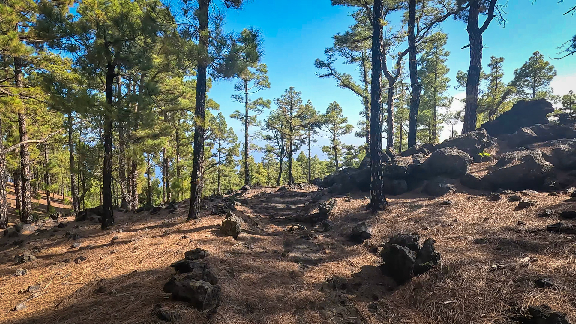
The Canarian pine dominates La Palma’s vast mountain forest belt. On the drier western side, this forest begins at around 1,200 metres and extends up into the upper mountain slopes just below the alpine zone.
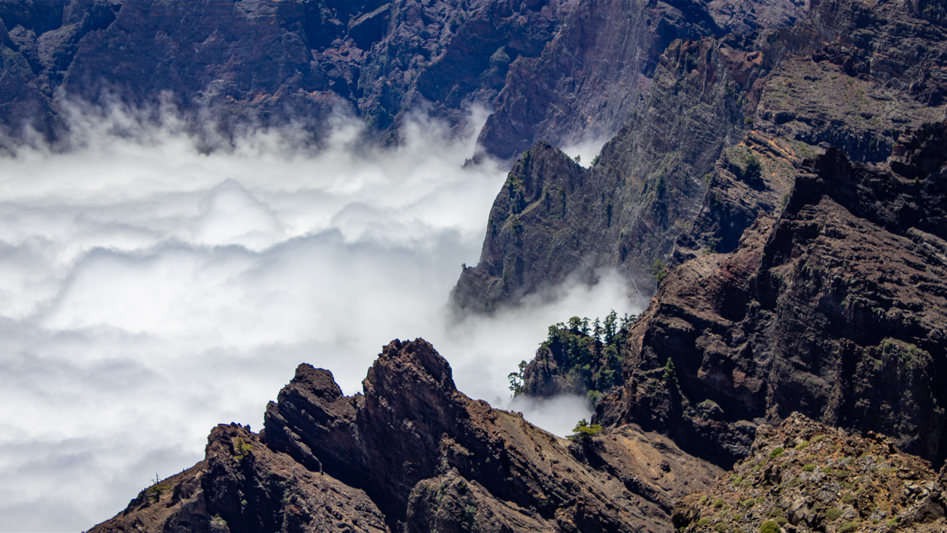
Its long needles strip moisture from the trade wind clouds and contribute to the island’s water supply through condensation. The pine forest is open and sunny — above the cloud inversion layer, the sun often shines here even when the coast lies in fog.
Hikes through the pine forest at 1,500 to 1,800 metres reveal a landscape completely different from the coastal regions.
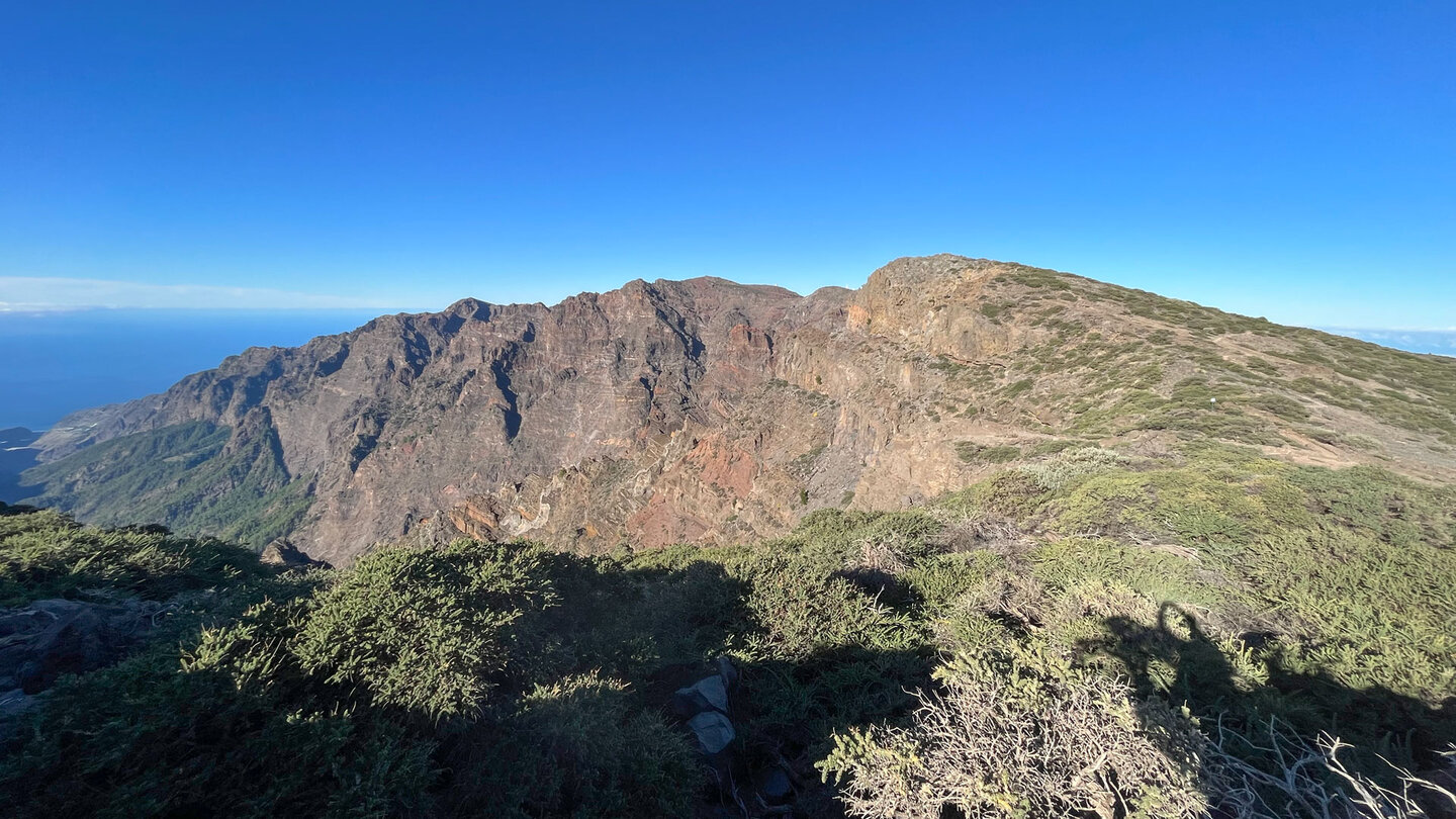
Zone 5: Alpine Zone (above 2,000 m)
Above 2,000 metres, vegetation becomes sparse. Codeso shrubs, Teide broom, and the flowering tajinaste shape the high-altitude landscape. The air is extremely dry and clear — no clouds, no fog, just sun and wind.
In winter, frost can occur; occasional snowfall is not uncommon. At Roque de los Muchachos (2,426 m), temperatures can drop to around 10°C even in July.
Conclusion
La Palma’s climate zones make the island a microcosm of the Earth — in just 30 kilometres from the dry coastal landscape to the alpine highlands. Those who consciously experience or hike through these transitions come to understand the island’s extraordinary diversity and see La Palma in a whole new light.
Frequently Asked Questions
How many climate zones does La Palma have?
How does temperature change with altitude on La Palma?
Why do pine forests grow above the laurel forests on La Palma?
Why can you experience so many climate zones in such a small area on La Palma?
Which climate zone is best for hiking on La Palma?
How do the different climate zones on La Palma form?
This article is based on the on-the-ground knowledge of the Gequo editorial team – publishers of the Reisezeit hiking guides and operators of Sunhikes.com. Last updated: May 2026