The Trade Wind Clouds: How the Wind Divides La Palma into Two Worlds
The northeast trade wind is La Palma’s invisible director. It comes from the Atlantic, carries moisture, and meets the island’s central mountain range. What happens next shapes the face of the island: the clouds pile up against the eastern slopes, release their moisture, nourish the laurel forests, and leave the western side dry. Two climate worlds on an island of 708 square kilometres — the trade wind is their creator.
The Inversion Layer Phenomenon
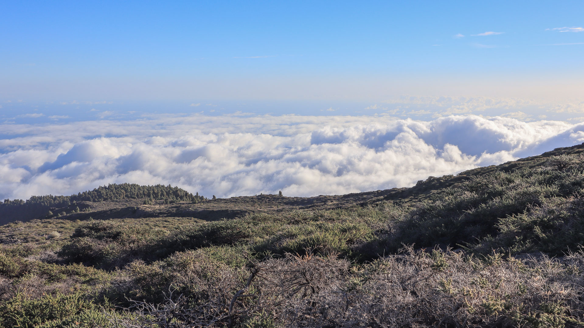
The inversion layer is the atmospheric boundary that the trade wind creates on La Palma. It normally sits between roughly 1,000 and 1,400 metres above sea level. Below this layer lies humid, cooler air with clouds and mist. Above it begins an extremely dry, clear air mass with frequent bright sunshine. Anyone driving up to the Roque de los Muchachos (2,426 m) breaks through this boundary and looks down from above onto a cotton-wool blanket of clouds while the sky overhead is a deep blue.
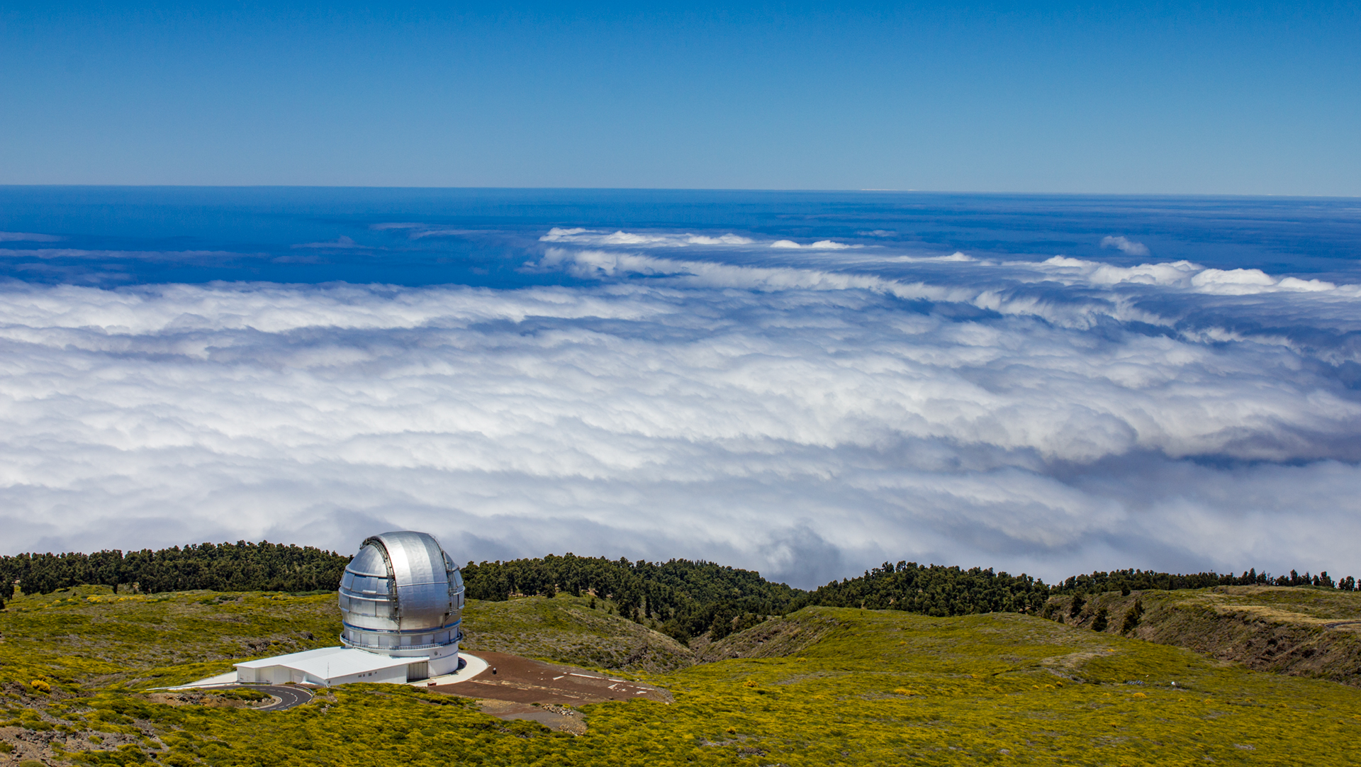
The Observatorio del Roque de los Muchachos sits well above this layer for exactly this reason: above the inversion layer the air is extraordinarily dry and stable. The conditions enable astronomical observations of a quality that ranks among the best in the world.
The Cumbre Tunnel as a Weather Experiment
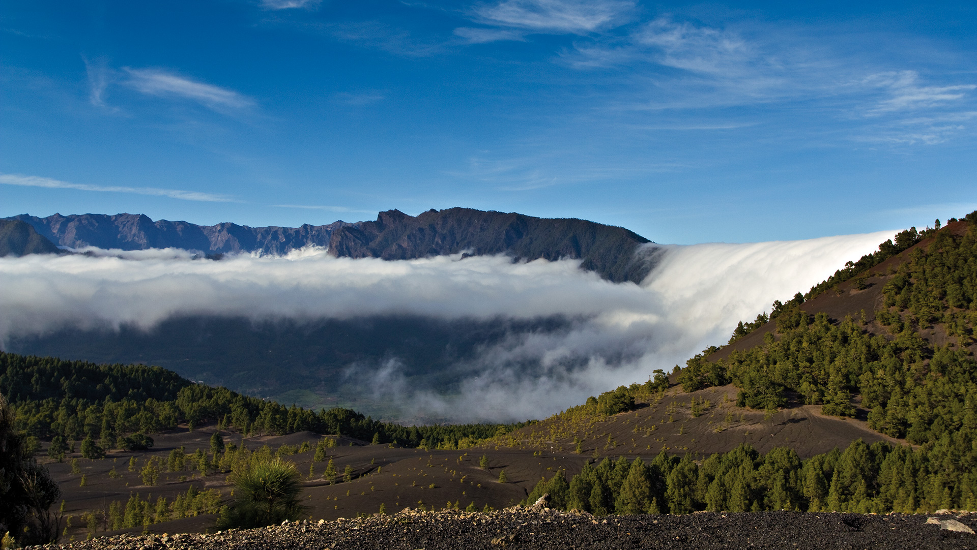
The most dramatic demonstration of the trade wind phenomenon is experienced in the tunnels of the LP-3 (Carretera de la Cumbre) between Santa Cruz de La Palma and El Paso. You drive into the newer, roughly 2.6-kilometre-long west tunnel on the eastern side — often in grey, humid weather with low-hanging clouds — and emerge on the western side near El Paso frequently into a completely different world: sunshine, clear visibility, and dry air. The climate change takes less than a minute. It is one of the most impressive weather experiments in Europe — or rather, in the Canary Islands — demonstrating over just a few kilometres how powerfully the trade wind shapes the island’s climate.
The Trade Wind Clouds as a Water Source
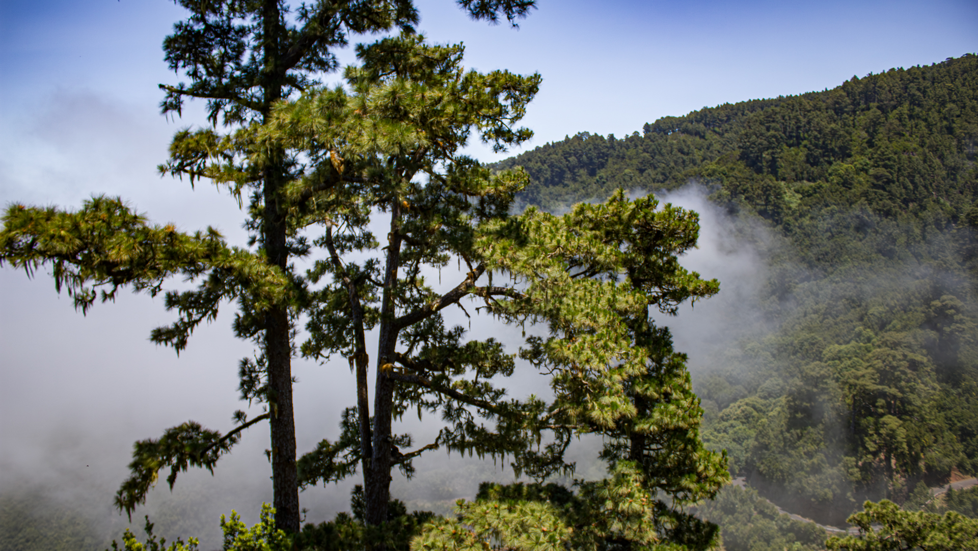
The trade wind clouds are far more than a meteorological phenomenon — they are an important water source for La Palma. So-called horizontal precipitation occurs when plants filter the tiny water droplets from the clouds. The Canarian pine in particular, with its long needles, captures this moisture; the water then drips onto the forest floor and enters the island’s natural water cycle. According to calculations, this fog precipitation contributes significantly to replenishing the groundwater reserves. In the densely forested zones, the additional moisture from the clouds can even substantially exceed the volume of normal rainfall. La Palma’s pine forests are therefore not merely a scenic feature but an essential part of the island’s natural water balance.
How the Wind Shapes La Palma
The trade wind clouds are La Palma’s most important meteorological phenomenon — they explain the green eastern side, the sunny western side, the formation of the laurel forests, and the exceptional conditions for the Observatorio del Roque de los Muchachos.
Anyone who experiences the change at the Cumbre Tunnel understands La Palma better: an island shaped not only by volcanism but equally by the wind.
Frequently Asked Questions
Why is the western side of La Palma sunnier than the eastern side?
What is the inversion layer on La Palma?
Why are the trade wind clouds so important for La Palma?
Why do trade wind clouds form on La Palma at all?
Why are the clouds often below the Roque de los Muchachos?
This article is based on the on-the-ground knowledge of the Gequo editorial team – publishers of the Reisezeit hiking guides and operators of Sunhikes.com. Last updated: May 2026