Roque de los Muchachos: The Roof of the Island and the Silence Above the Clouds
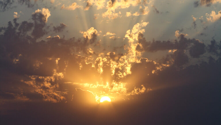
Standing on Roque de los Muchachos for the first time — at 2,426 metres, above the clouds, with the Atlantic stretching to the horizon in every direction — words fail you. That is no cliché. La Palma’s highest summit is one of those places that cannot be described, because any description falls far short of the reality. To the left, the Caldera de Taburiente drops nearly 2,000 metres almost vertically. To the right, the white observatory domes. Below, a layer of cloud like a cotton blanket, from which another peak occasionally emerges.
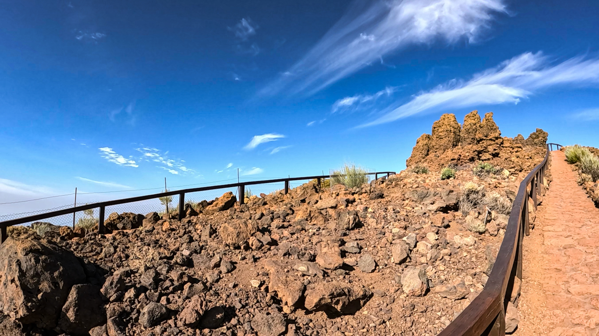
Roque de los Muchachos — meaning “Rock of the Young Men,” named after the bizarre rock formations at the summit — is not a standalone mountain, but one of the peaks along the ridge that encloses the caldera to the north.
The Observatory: World-Class Science at 2,426 Metres
At the summit stand the domes of the Observatorio del Roque de los Muchachos, one of the world’s most significant astrophysical research facilities. The Gran Telescopio Canarias (GTC) with its 10.4-metre primary mirror is visible from a great distance. The rock formations at the summit — black basalt teeth shaped by millions of years of wind and frost — are the origin of the name. On clear days, Tenerife, La Gomera, El Hierro, and occasionally even Gran Canaria are visible from here.
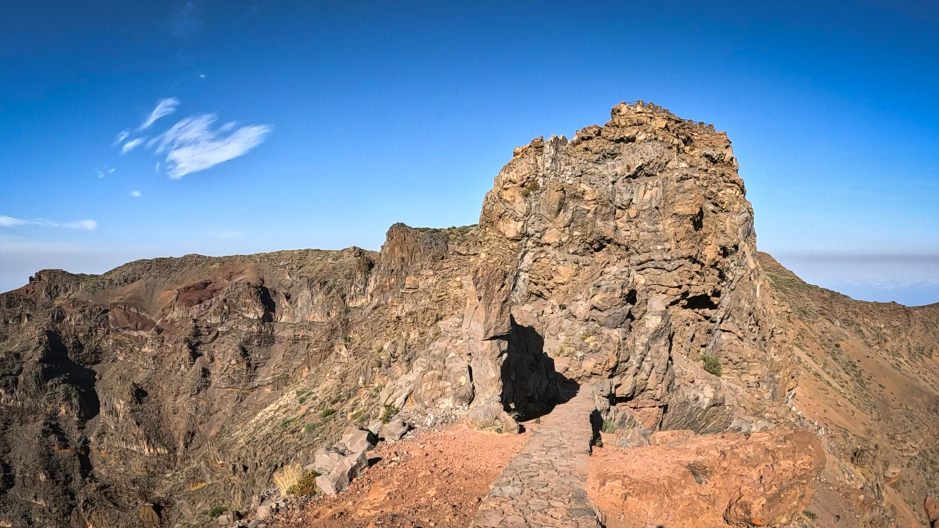
A short walk (1.2 km, easy) leads from the LP-4 road to the viewing platform at Espigón del Roque — a rocky outcrop with vertiginous views over the caldera gorges. The parking area is right on the LP-4, a few hundred metres below the summit.
Hiking on the Summit Ridge
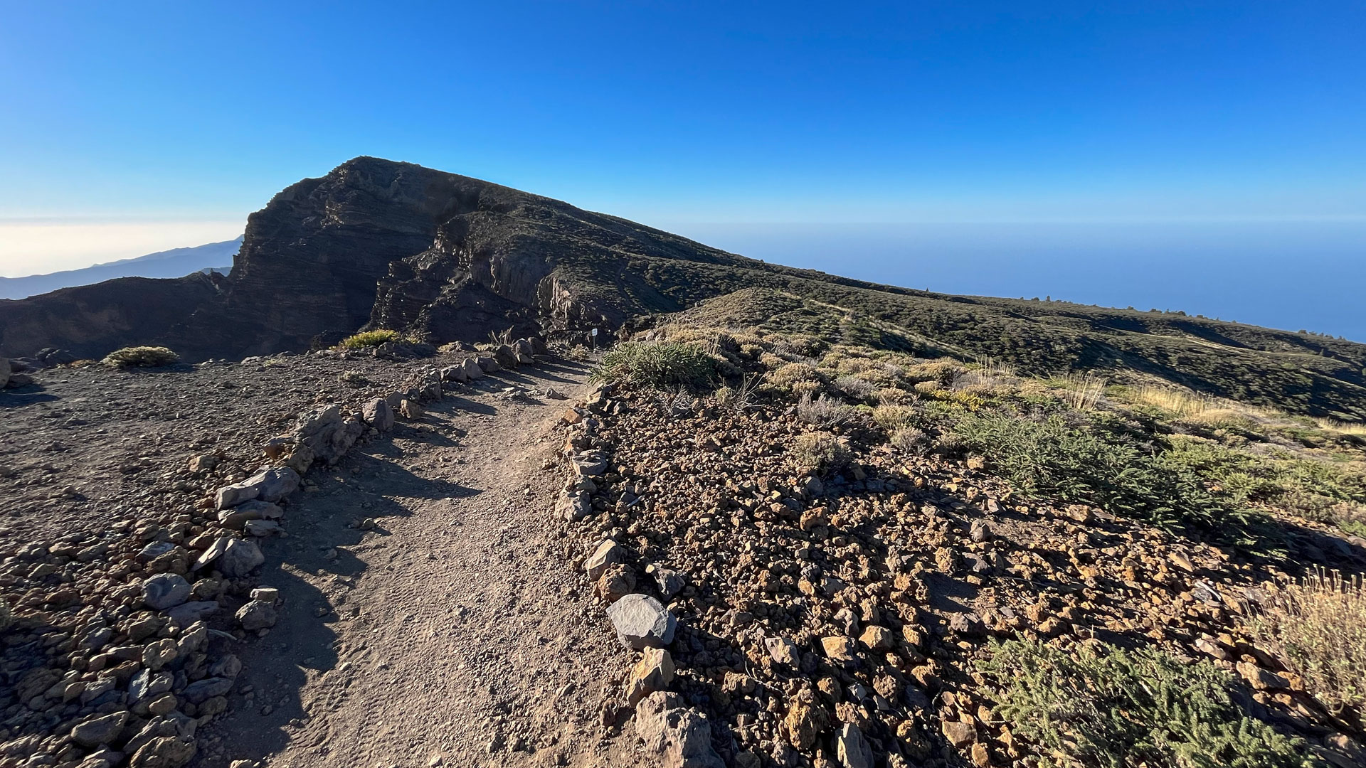
Roque de los Muchachos is a central junction of the long-distance trail GR 131 (El Bastón). From here you can hike both southward along the caldera rim via the Ruta de los Volcanes to Fuencaliente, or northwestward towards Garafía.
A popular half-day hike leads to Roque Palmero (2,306 m). The approximately 6.5-kilometre hike (there and back) is moderately challenging and offers impressive views along the northern flank of the Caldera.
Anyone planning the long descent to Mirador El Time should set aside a full day. The route covers around 19 kilometres, with approximately 1,800 metres of descent through demanding terrain, making it one of the most challenging hikes on the island.
Getting There: The LP-4 Mountain Road
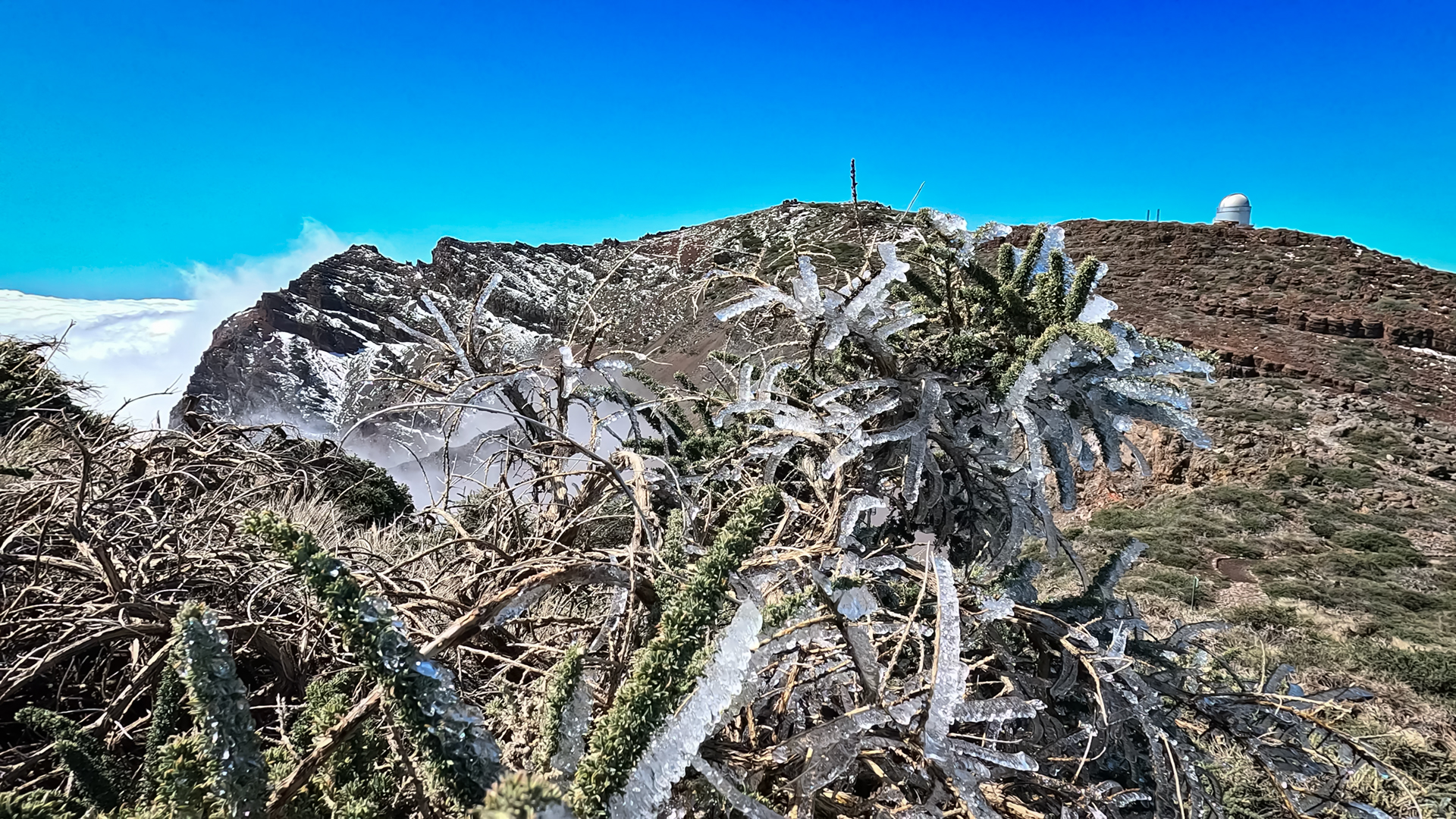
The LP-4 winds up to Roque de los Muchachos in numerous switchbacks. From Los Llanos de Aridane via Triana, the drive takes approximately 60 to 75 minutes depending on traffic and weather; from Santa Cruz de La Palma around one hour. In winter, the road can be temporarily closed due to snow or ice — always check current road conditions before heading up.
Even in summer, it can be surprisingly cold and windy at 2,426 metres. Warm clothing and a windbreaker are as essential as sufficient water and food, since there are no refreshment options at the summit itself.
| Elevation | 2,426 m above sea level |
|---|---|
| Access | LP-4 from the west side via Los Llanos or from the east side via Santa Cruz de La Palma |
| In winter | Road may be temporarily closed due to snow or ice |
| Clothing | Usually 10–15°C in summer, often significantly cooler due to wind — bring warm layers and a windbreaker |
The Highlight of Any Visit
Roque de los Muchachos is the highlight — in every sense of the word — of any visit to La Palma. Those who make the drive up the LP-4 are rewarded with a panorama that reveals La Palma from a side you cannot even imagine at the coast.
Frequently Asked Questions
Can you drive all the way to the summit?
When is the best time to visit Roque de los Muchachos?
How cold is it at the Roque?
Why is the observatory located on Roque de los Muchachos?
Can you visit the observatory on Roque de los Muchachos?
This article is based on the on-the-ground knowledge of the Gequo editorial team – publishers of the Reisezeit hiking guides and operators of Sunhikes.com. Last updated: May 2026