Playa de Bujarén – Garafía’s Secluded North Beach
Garafía’s north coast is no place for beach outings with sun loungers and kiosks. It is a place for those seeking a coastline that makes no effort to attract visitors. This is where Playa de Bujarén lies: a small, unspoilt beach beneath sheer cliffs, reachable only via steep paths, almost always deserted.
What You Will Find
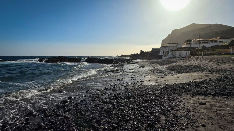
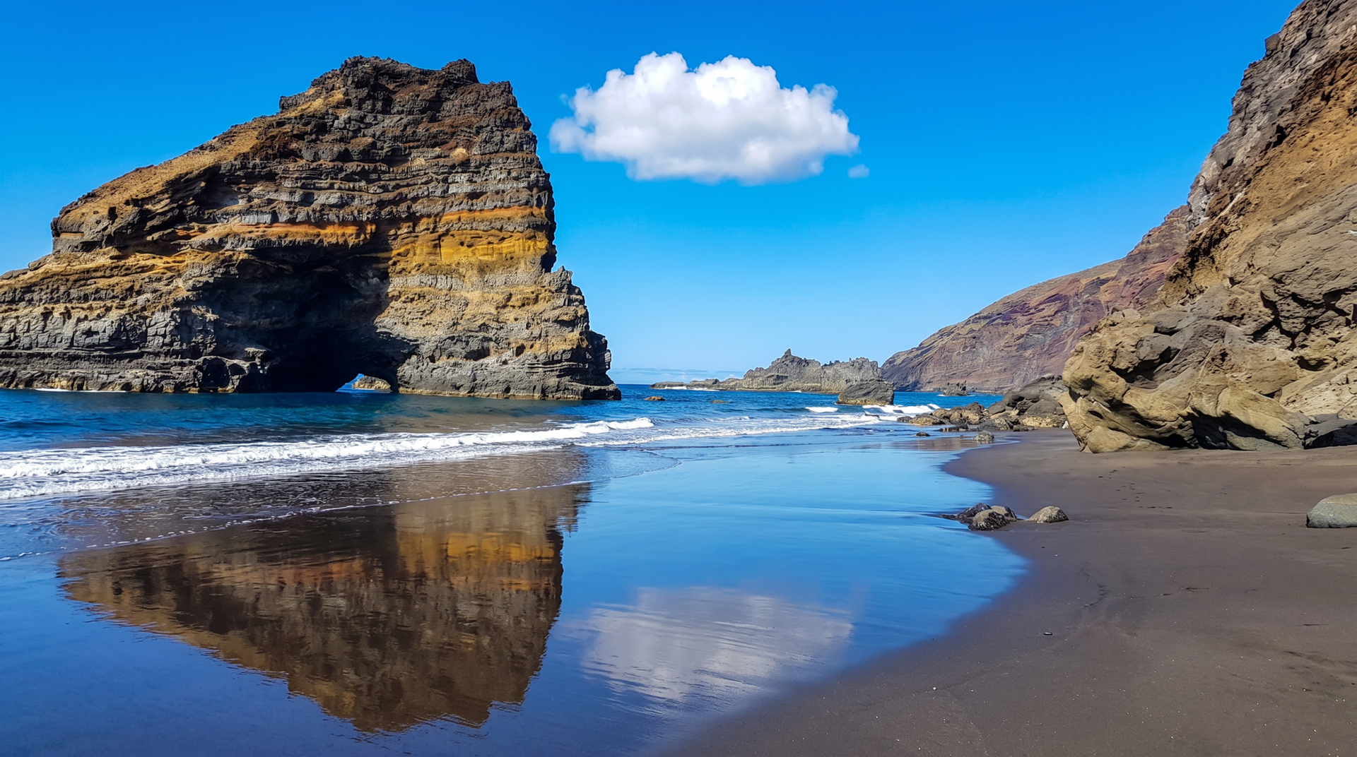
The cove is narrow and enclosed by lava rocks. The beach itself is black sand mixed with pebbles – rough, warm in the sun, sharp under wet feet. The north coast surf is powerful; calm days when swimming is safe are rare. What you will always find: silence, vastness, and the feeling that La Palma has not bent itself out of shape for tourism here.
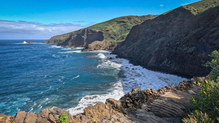
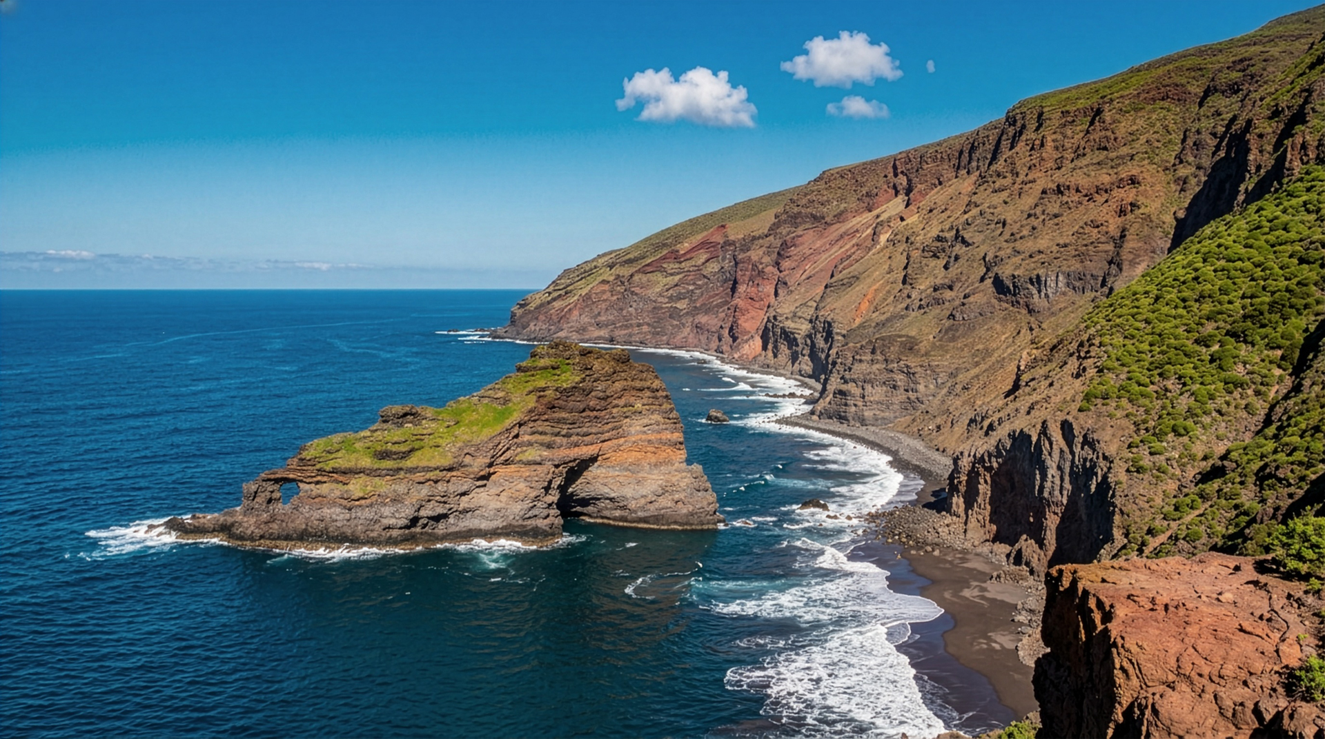
Anyone looking down into the cove from above before starting the descent sees an image that explains La Palma’s north coast better than any description: sheer walls, black sand, turquoise water – and not a soul.
Why the Descent Is Worth It
The descent to Playa de Bujarén is no ordinary beach path. It is a promise: those who climb down are rewarded with a coastline that was never designed for visitors. If you are standing at the top wondering whether the descent is worthwhile, look down from one of the viewpoints. The picture – sheer walls, black sand, turquoise water – is the answer.
Access & Safety
Exposed descent path – sturdy footwear and sure-footedness are essential. The route is recommended for experienced hikers only: the narrow, exposed trail runs along the cliff. Due to the instability of the huge rock massif, landslides and rockfall occur frequently.
La Palma’s north coast: surf and currents are strong and unpredictable.
Swimming only in calm seas and only for very experienced swimmers.
No lifeguard service, no beach flags, no infrastructure.
Always allow plenty of time and energy for the climb back up.
Garafía: The Island Behind the Island
Garafía sometimes feels like a different island. The municipality is so remote that the drive from Santa Cruz takes a good hour’s drive – hairpin bends, steep slopes, tiny hamlets that barely appear on maps. That makes Garafía invisible to many visitors. For those who do come, that is precisely the point.
Queso de Garafía, the famous locally produced goat’s cheese, Vino de Tea with its resinous character, the La Zarza y La Zarcita archaeological park with La Palma’s oldest petroglyphs – all of this is in Garafía, and all of it is accessible on site. A day in Garafía with Playa de Bujarén as the coastal descent is one of the most complete days La Palma has to offer.
The North Coast View
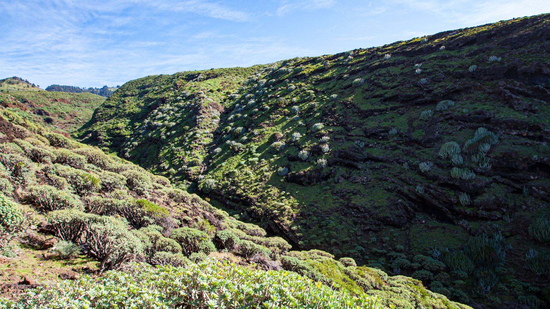
From the Mirador de Serradero viewpoint above Playa de Bujarén, one of the widest views on the island opens up: the cliff coast in both directions, the open sea beyond. The barrancos cutting from the mountains down to the coast appear from above as deep incisions – with paths along which the coast was once inhabited and farmed.
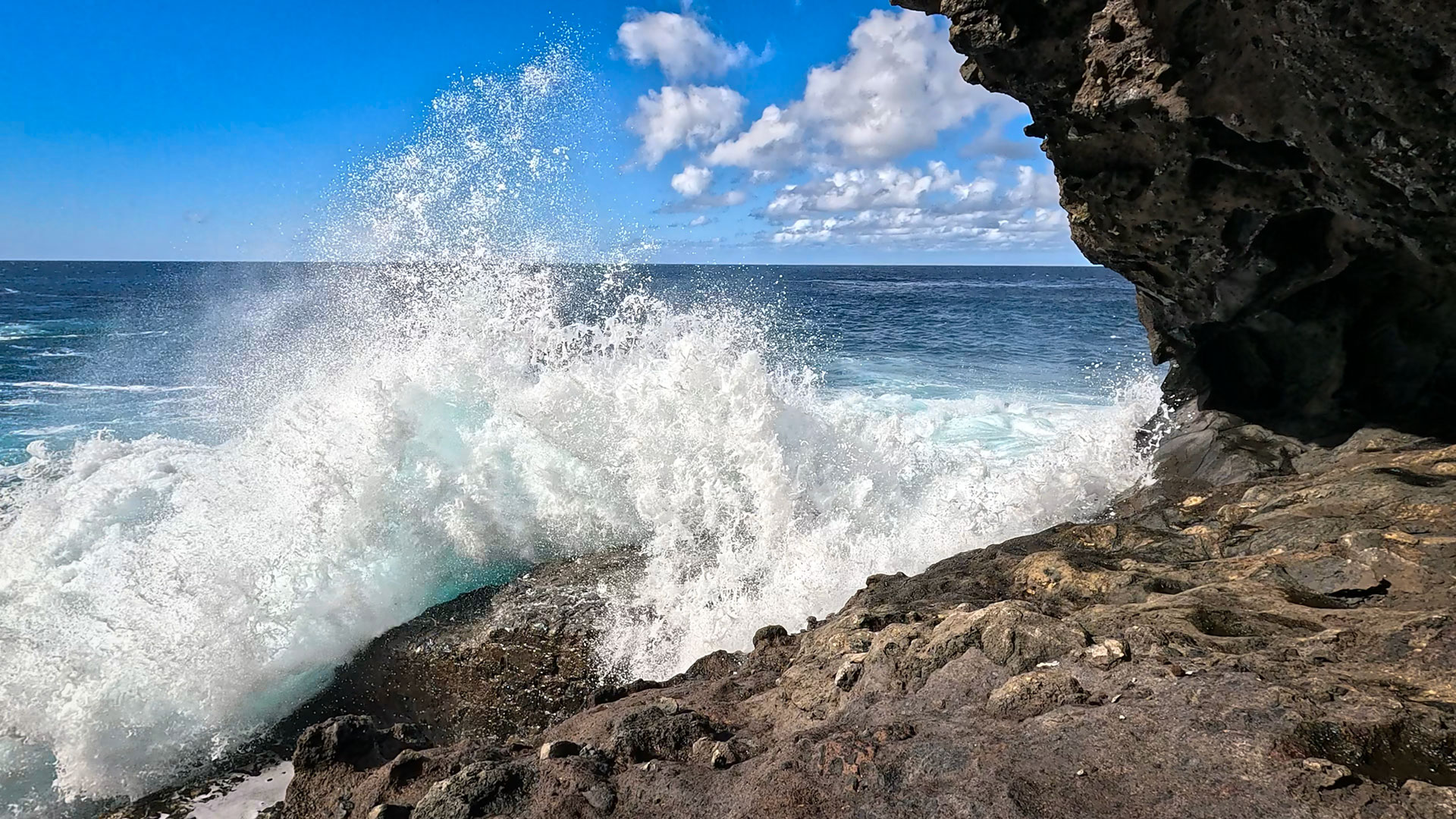
The sea off La Palma’s north coast is a different sea from the one off the west coast. Colder, rougher, with surf rolling in from the open North Atlantic. At Playa de Bujarén you can hear it – the roar is louder, the waves break with more force. Sit on the rocks and watch, and you see La Palma from a vantage point no viewpoint with a car park can offer.
| Location | North coast of La Palma, municipality of Garafía |
|---|---|
| Access | Steep descent path – sure-footedness essential |
| Beach | Narrow cove, black sand, lava pebbles |
| Swimming | Only in calm seas, only for the very experienced |
| Combine with | La Zarza archaeological park · Porís de Santo Domingo · Queso de Garafía |
| Where to stay | Clariso Garafía (3 houses) |
Porís de Santo Domingo
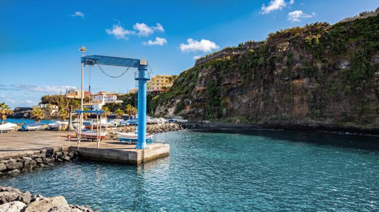
Right next to Playa de Bujarén lies the old harbour of Santo Domingo. This stretch of coast, with its stone loading stations, fishermen’s huts and a historic harbour wall, was the lifeline of the north coast until the 1960s. It is reached via a steep but well-secured path.
Where to Stay in Garafía
Garafía has three Clariso holiday houses – all with the character of a municipality that embodies La Palma’s seclusion at its purest. Book via Clariso Garafía.
Laurel Forests Above the Coast
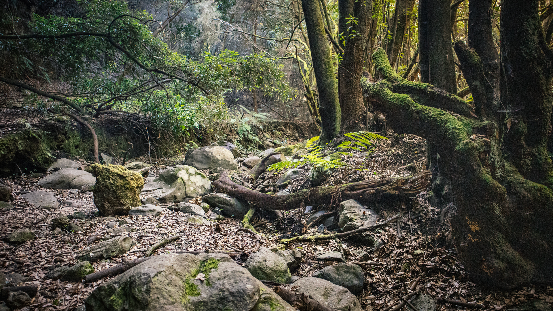
Garafía’s northern slopes are covered in laurel forests, some of which stretch right to the edge of the cliffs. These are no ordinary woods – they are remnants of the Tertiary laurel forest that once covered the entire Canary Islands and today survives only in a few corners of Macaronesia. Walking through these forests means walking through a landscape that existed millions of years ago. A beautiful laurel forest route leads from La Zarza through the Caldera de Agua.
Exploring Garafía: One Day Is Not Enough
If you drive to Garafía and only visit Playa de Bujarén, you have merely brushed the surface of the municipality. Garafía needs one day for the coast and a second for everything else: the archaeological park with its petroglyphs, the hamlet of El Tablado on the ridge, cheese from the producer, Vino de Tea with a view. Plan two days and you will return with the feeling of having discovered something.
The Cheese of the North
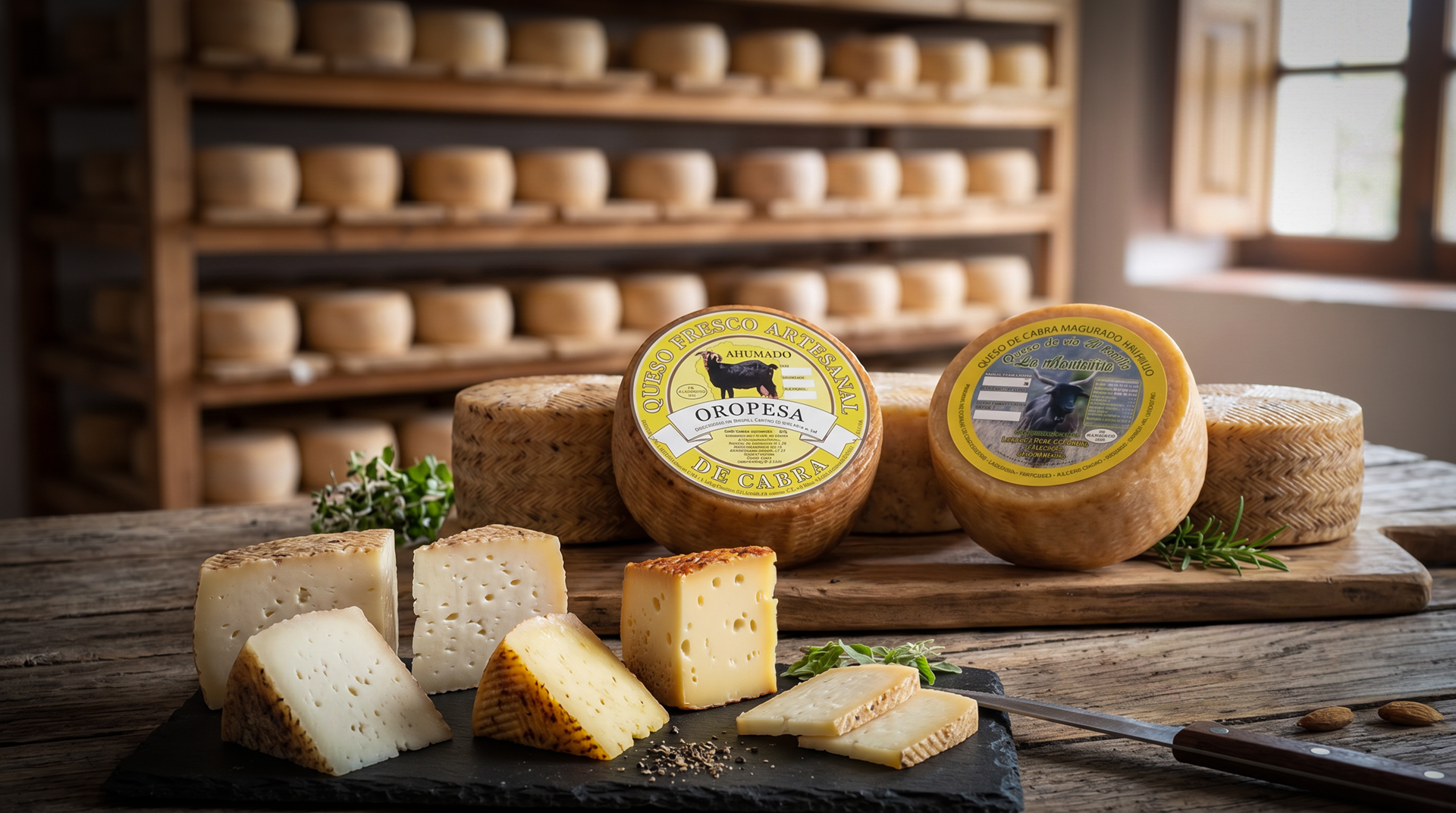
Queso de Garafía is hard to explain, because its flavour comes from a place that is not easily described. The Palmeran goats (Cabra Palmera) graze on the high plateaus above the coast, feed on herbs that grow nowhere else, and give a milk that carries all of this within it. The cheese matures in cool cellars, developing a firm rind and a character of its own. It is best bought directly in Garafía – in one of the small shops on the village square or from one of the producers who occasionally appear at the island’s markets.
Summary: Playa de Bujarén
Playa de Bujarén is La Palma’s northernmost secluded beach: reached via a steep descent, rarely visited, shaped by the surf of the open Atlantic.
Garafía shows itself here in its purest form – for anyone willing to make the journey.
Frequently Asked Questions
Where is Playa de Bujarén?
Can you swim at Playa de Bujarén?
What else is there in Garafía besides the beach?
This article is based on the on-the-ground knowledge of the Gequo editorial team – publishers of the Reisezeit hiking guides and operators of Sunhikes.com. Last updated: May 2026