Playa de la Zamora – Two Bays in the South
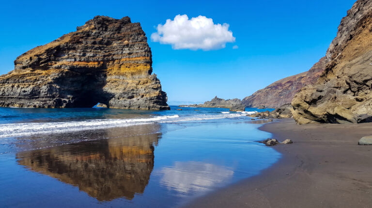
On the south coast of La Palma, where the island tapers to a point into the sea and volcanic cones and lighthouses shape the landscape, lies one of the quietest beaches on the island: Playa de la Zamora. Two black sand bays, separated by a rock, almost always deserted – yet close enough to the only tourist zone on the island not to feel truly remote.
Zamora Grande and Zamora Chica
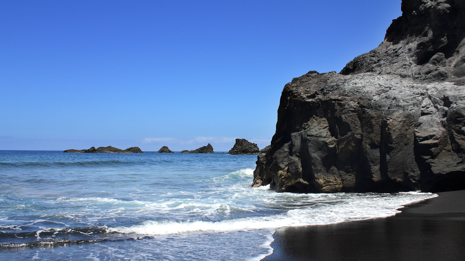
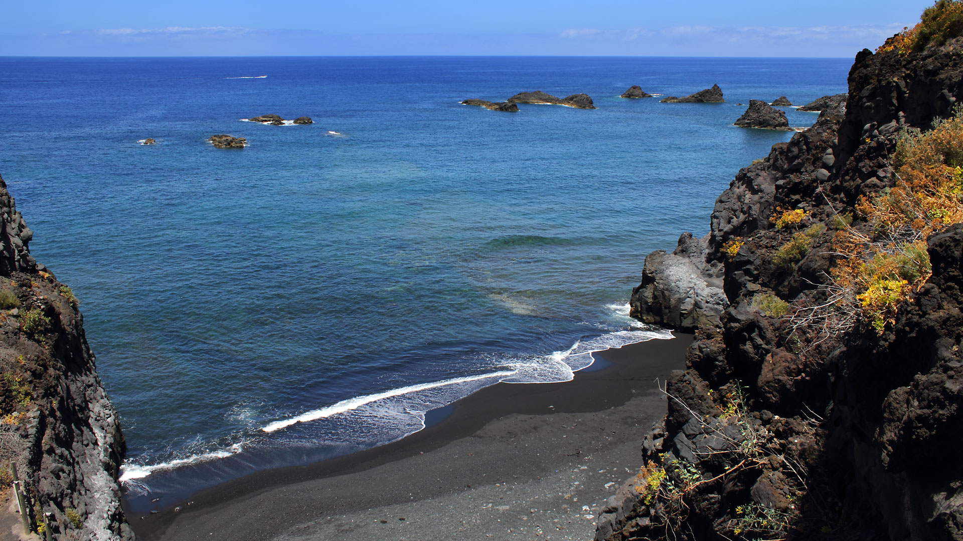
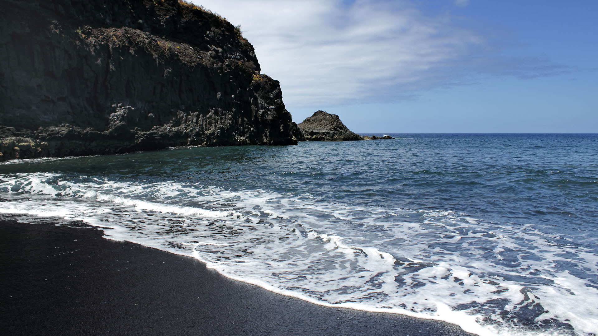
Playa de la Zamora consists of two bays: the Zamora Grande and the Zamora Chica, separated by a rock formation that dries out at low tide – and can then be crossed on foot. Both bays are covered with medium-coarse volcanic sand and fine pebbles, known locally as picón, a fine volcanic gravel. An offshore group of rocks noticeably dampens the surf.
A stone stairway leads down to the natural beach. There are no sun umbrellas, no sun loungers – but almost always a quiet spot, even when the nearby holiday zone of Fuencaliente is well visited. The Kiosko La Zamora serves fresh fish dishes and an unforgettable view of the Atlantic.
Swimming & Safety
The beach flags give daily information about swimming conditions:
Green: Safe swimming conditions.
Yellow: Caution – waves or current. Children and less confident swimmers should stay ashore.
Red: Swimming strictly prohibited. Ignoring this is life-threatening.
The offshore rock group reduces the surf – but always watch for currents when there is onshore wind.
No lifeguard service on site. Always bring sun protection – no shade on the beach.
Diving, Snorkelling, Surfing, Swimming
The clear water of Playa de la Zamora is also known to surfers. The waves break along the rock edge in a way that attracts wave riders – without the extreme force of the more exposed west coast beaches.
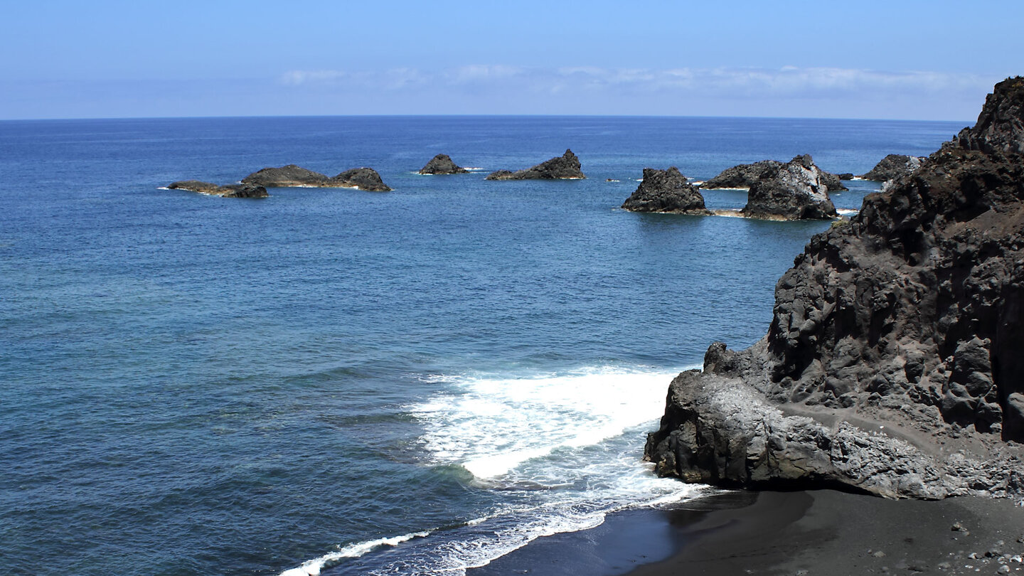
For snorkellers, a look below the surface is worthwhile: the lava formations around the rock group are well populated. The underwater world around the rock group at Playa de la Zamora is diverse: lava rock provides habitat for octopuses, moray eels, parrotfish and wrasse. The clear water of the south – less influenced by the upwelling of the north coast – allows good visibility.
Swimming in the Zamora Grande Bay
Zamora Chica is more exposed and quickly becomes too rough for relaxed swimming in heavier seas. Zamora Grande is the better of the two bays for swimming. The offshore rock group dampens the surf and creates calmer water than you would expect on the south coast. The water is clear; entry over the pebble beach is moderately demanding. Water shoes are recommended – the picón pebbles are sharp. In calm seas, the bay is also suitable for snorkelling: the rock formation with its crevices and cavities is richly populated.
Getting There and Parking
The best way to reach Playa de la Zamora is from Fuencaliente via Las Indias. After the steep descent, a small road branches off to the right through banana plantations to the coast. Above the bay there is a small fish restaurant. Parking is available but limited.
| Location | South coast of La Palma, Fuencaliente municipality, near Las Indias |
|---|---|
| Bays | Zamora Grande + Zamora Chica (connected at low tide) |
| Beach | Black sand with picón gravel, natural and unspoilt |
| Natural breakwater | Offshore rock formation |
| Facilities | Fish restaurant above the beach; no kiosk at the beach |
| Parking | Limited; arrive early |
| Sun protection | No natural shade – sunscreen essential |
The South of La Palma: Volcanoes, Wine and Salt Pans
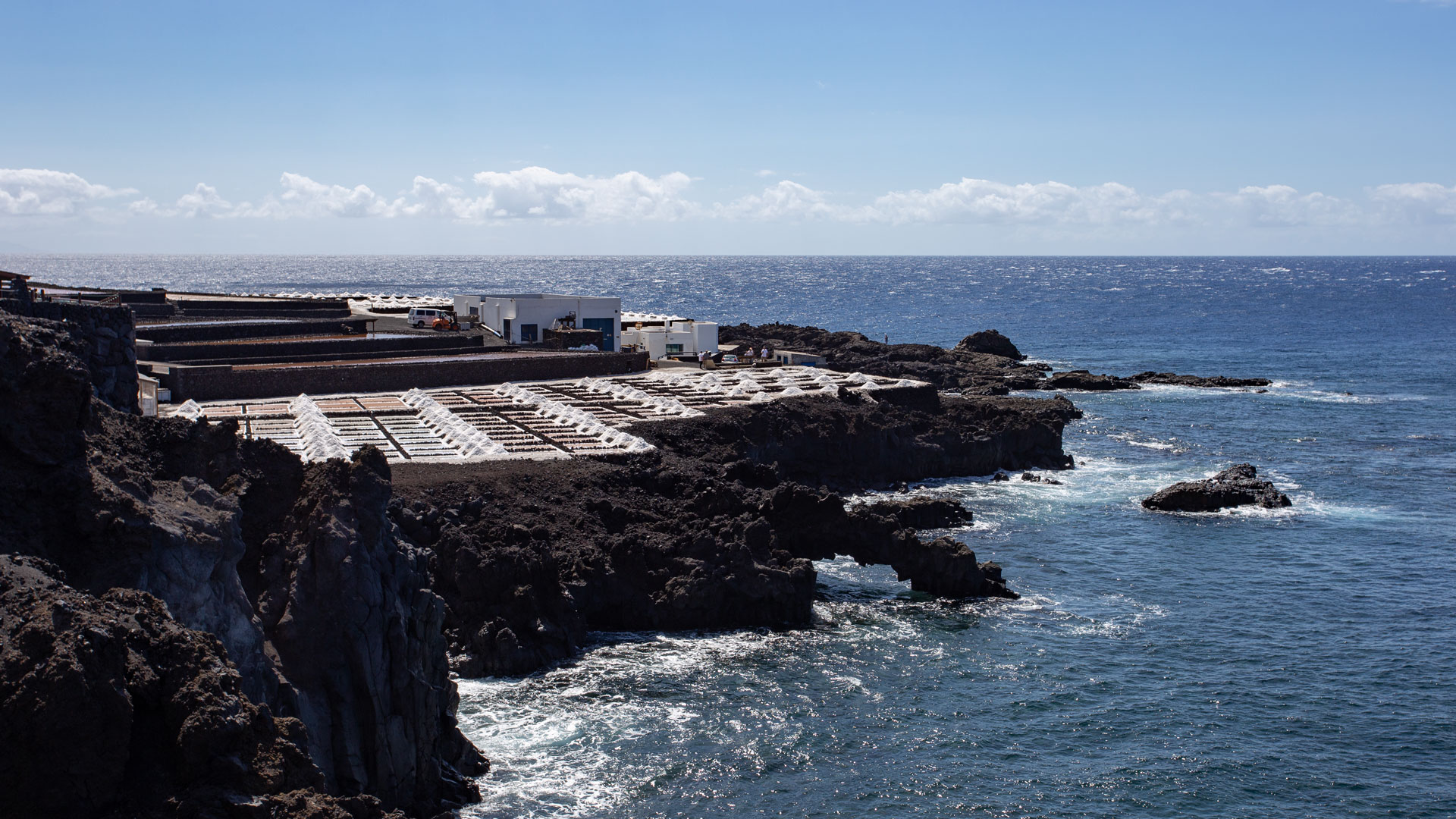
Playa de la Zamora lies in the municipality of Fuencaliente – the southernmost tip of the island and one of the most interesting corners of La Palma. The landscape is young: volcanic cones, lava fields, vineyards on black soil. The Malvasia grape of Bodega Teneguía grows on ash that fell during the 1971 eruption. A visit to the lighthouses, the salt pans and one of the local wineries adds hours to the beach day that you will not forget.
Accommodation Nearby
Those wishing to explore Fuencaliente will find a selection of accommodation from Clariso in Los Llanos de Aridane and Villa de Mazo. Both towns are within easy driving distance of the south coast and make excellent bases for exploring the south of the island.
Fuencaliente: Wine Growing on Volcanic Soil
The municipality of Fuencaliente is known for its wine. The Malvasia grapes grow on historically significant soil: the vines were originally planted on the volcanic earth of the San Antonio eruption (1677) and are today covered by the deep black ash layer that Teneguía spread over the land in 1971. The result is a wine with a mineral, almost salty character. Bodega Teneguía, directly on the coastal road, offers wine tastings. After a beach visit at Playa de la Zamora, a detour to the vineyards is an obvious next step.
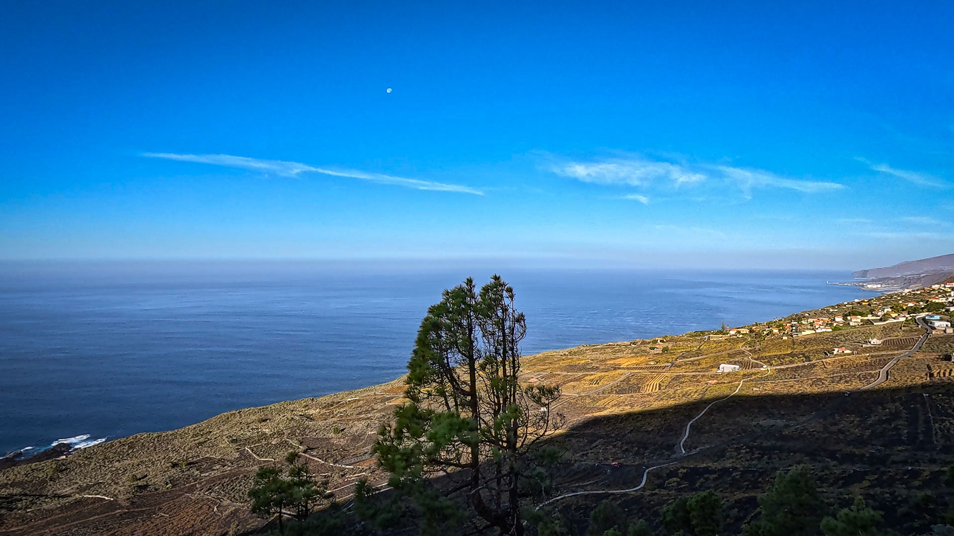
Sunset on the South Coast
Playa de la Zamora lies on the south coast – close enough to the west side to experience sunsets that bathe the black rocks in orange and red. In the summer months, when the sun sets late, the bay takes on a different character in the evening: the light is warmer, the surf usually calmer, and the few visitors still there belong to the place as much as the rocks themselves. For photographers, this is the optimal time.
Lava Field Walk and Volcano Crater
From Playa de la Zamora, the Teneguía lava field is reachable within a few minutes by car. The hiking trail to the crater of Volcán Teneguía takes about an hour and gives insights into how the lava field was formed. The combination of beach visit and crater hike is one of the most compact half-day excursions on La Palma.
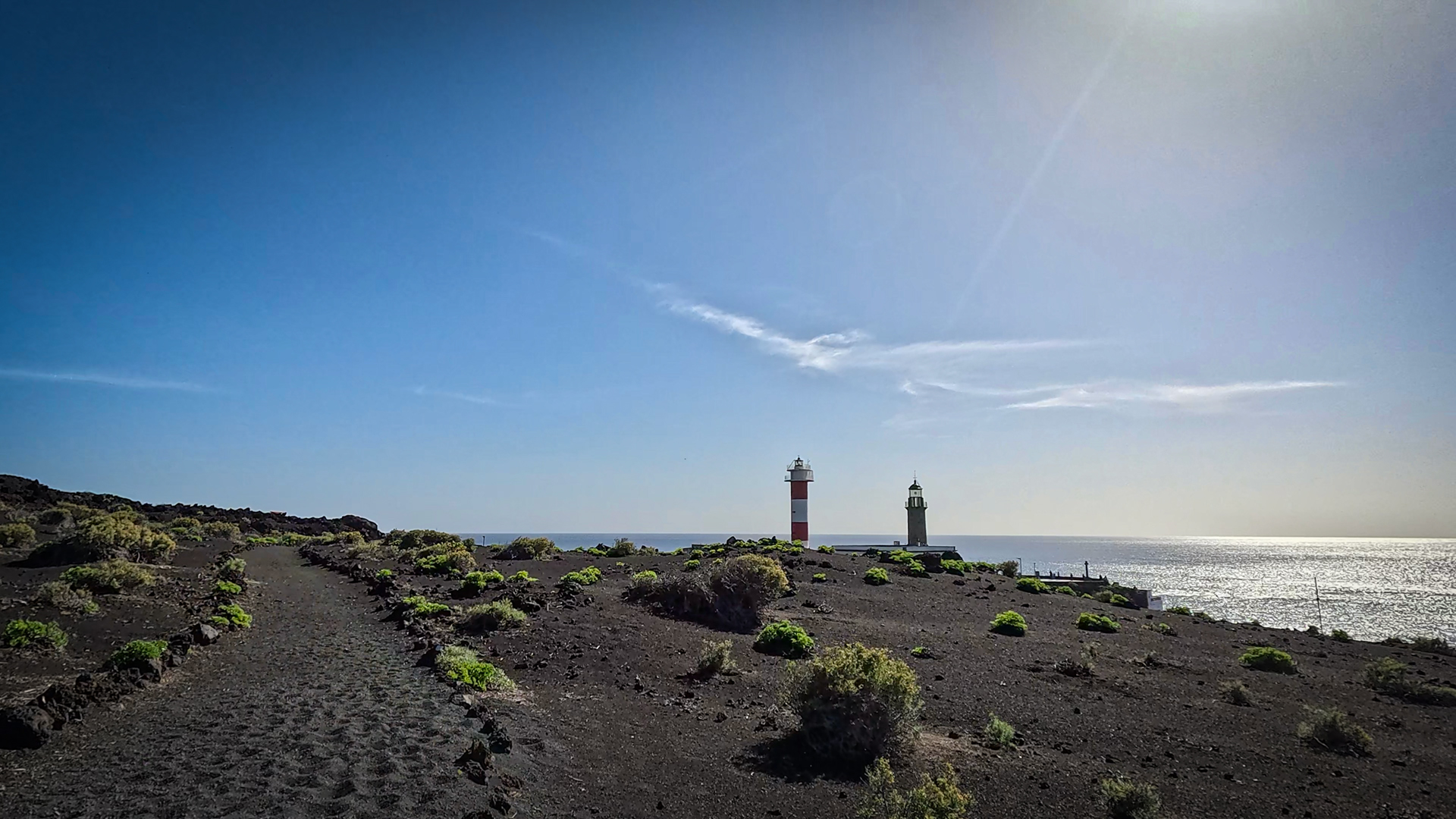
The Coast between Zamora and Las Indias
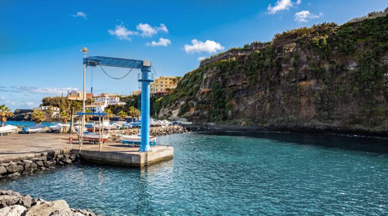
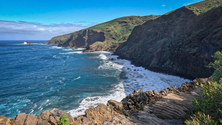
The coastal stretch between Playa de la Zamora and Las Indias is one of the least known on the south coast. Small fishermen’s huts, old boat ramps and lava rock reaching into the water – this coastline was never developed for tourism.
Getting There by Hire Car
Playa de la Zamora is easily reachable with a normal hire car. The road from Fuencaliente via Las Indias to the coast is paved, but narrow and steep. In the last section through the banana plantations the road narrows to a single lane. At weekends and in high season it can get tight – arriving early is the best strategy here too. For the return journey, a detour to the Fuencaliente bodegas is recommended, which are usually open until the afternoon.
Winery Visit after the Beach
The Fuencaliente bodegas are only a few minutes from Playa de la Zamora. The most famous, Bodega Teneguía, is signposted on the coastal road and offers wine tastings. The Malvasia from the volcanic soils of Teneguía has a character you will hardly find elsewhere: mineral, slightly salty, dry. A bottle to take home is the best souvenir of the south – and pairs as well with grilled fish at dinner as with the end of a long beach day.
Conclusion: Playa de la Zamora
Two bays, one rock group, barely any tourists – Playa de la Zamora is the quietest natural beach in the south.
Those who want to leave behind the tourist zone of Fuencaliente will find a completely different atmosphere within a few minutes’ drive.
No comfort, no shade – but an authenticity you would not expect on the south coast.
Frequently Asked Questions
What is the difference between Zamora Grande and Zamora Chica?
Are there lifeguards at Playa de la Zamora?
How do you get to Playa de la Zamora?
Can you surf at Playa de la Zamora?
This article is based on the on-the-ground knowledge of the Gequo editorial team – publishers of the Reisezeit hiking guides and operators of Sunhikes.com. Last updated: May 2026