The Barrancos of La Palma: Where the Island Reveals Its Depths
La Palma is an island of superlatives — the steepest volcanic island in the world, the deepest erosion caldera, the highest point in the Canaries relative to its land area. But its most striking geological feature may be its most understated: the barrancos. These deep, narrow ravines that cut through the island’s volcanic layers like deep gashes in the terrain define La Palma’s landscape like nothing else. Seen from above, the island looks like a hand with spread fingers — each finger a barranco running from the ridge down to the sea.
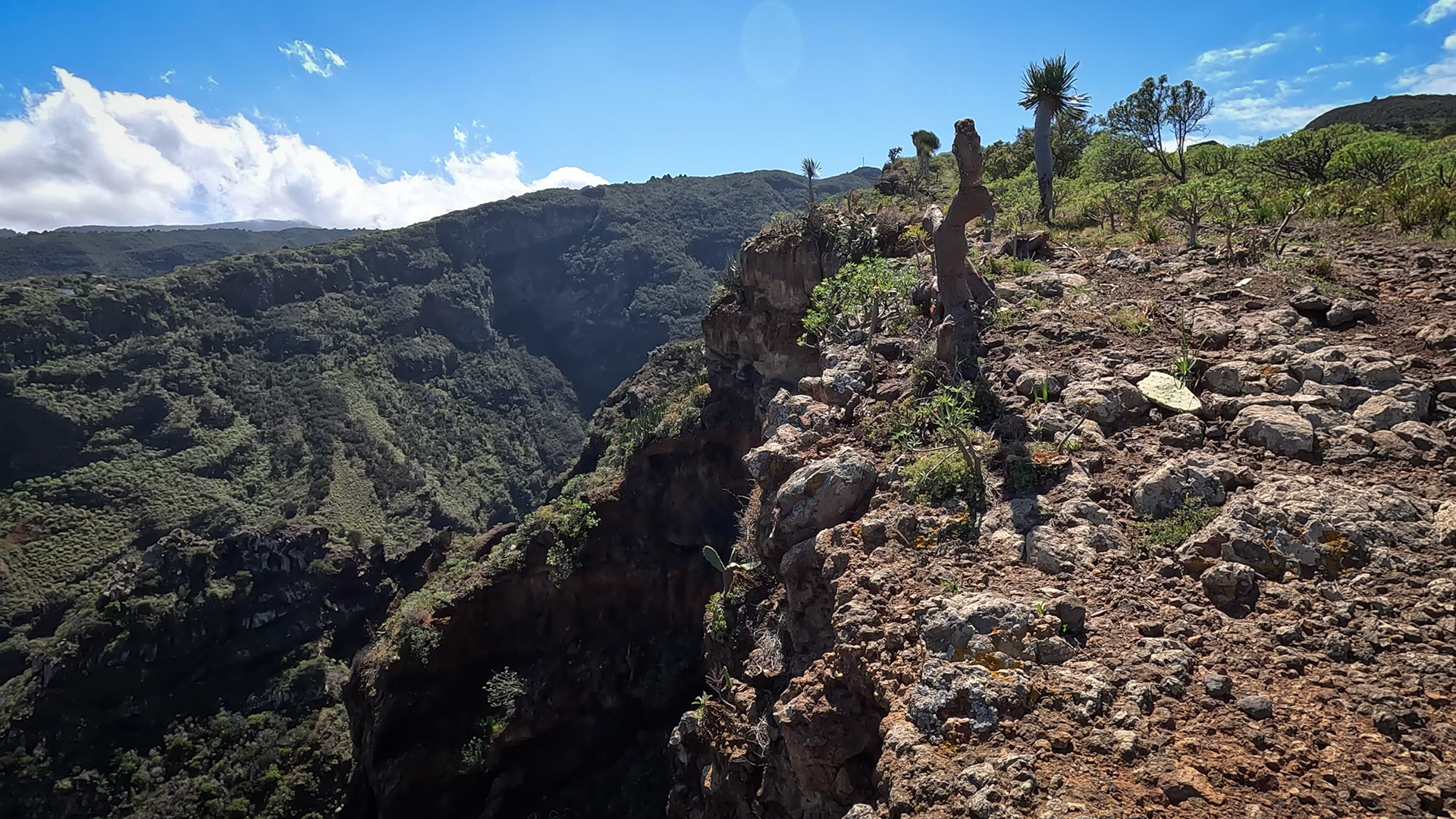
But the barrancos are more than pure geomorphology. They are habitat, water reservoir, hiking trail, and cultural space all at once. In the moist northern ravines, laurel trees, ferns, and mosses grow in a biodiversity that evokes primeval forests. In the drier southern gorges, springs and underground watercourses surface that have nourished vineyards, orchards, and banana plantations for centuries.
Barranco de las Angustias: The Lifeline of the Caldera
The Barranco de las Angustias – the ravine of anguish (or more accurately, ‘narrow passes’) – is the only natural outlet of the Caldera de Taburiente. Through this enormous rock gorge, the water from inside the Caldera makes its way across the island and reaches the Atlantic at Tazacorte.
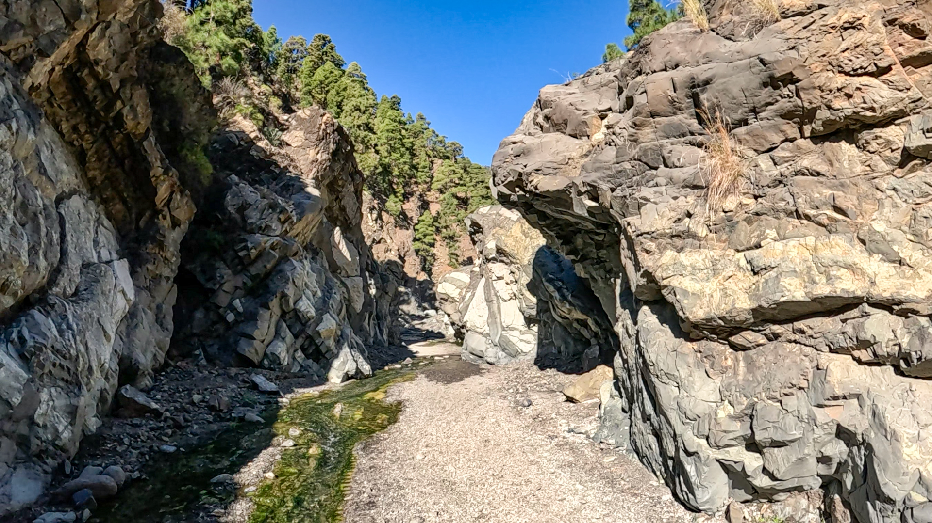
The trail through the barranco crosses one of La Palma’s most geologically fascinating terrains: pillow lava, ancient deep-sea rocks, and massive cliff walls formed kilometers below the Earth’s surface. The route is demanding, requiring sturdy footwear, sure-footedness, and stable weather conditions. Several watercourses must be crossed along the stream bed.
The Ravines of the North: Garafía and Its Barrancos
The island’s most spectacular barrancos lie in the north, in the municipality of Garafía. The Barranco Fagundo is considered La Palma’s most impressive gorge: from the viewpoint at El Tablado, you look down into a depth where a stream runs through freshly exposed rock strata. Different geological layers have been uncovered by erosion — a cross-section through the island’s volcanic history.
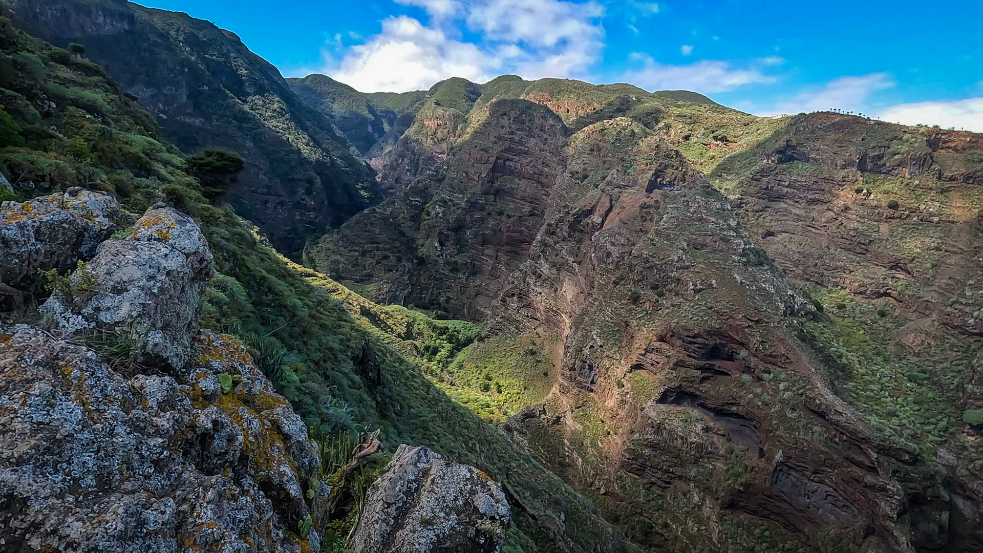
Near the Barranco Fagundo lies the Barranco de los Hombres, which connects two of La Palma’s most remote villages: El Tablado and Franceses. The hike through the gorge is rated difficult and requires sure-footedness; in return, it passes through a special laurel forest nature reserve that is as pristine as anywhere on the island.
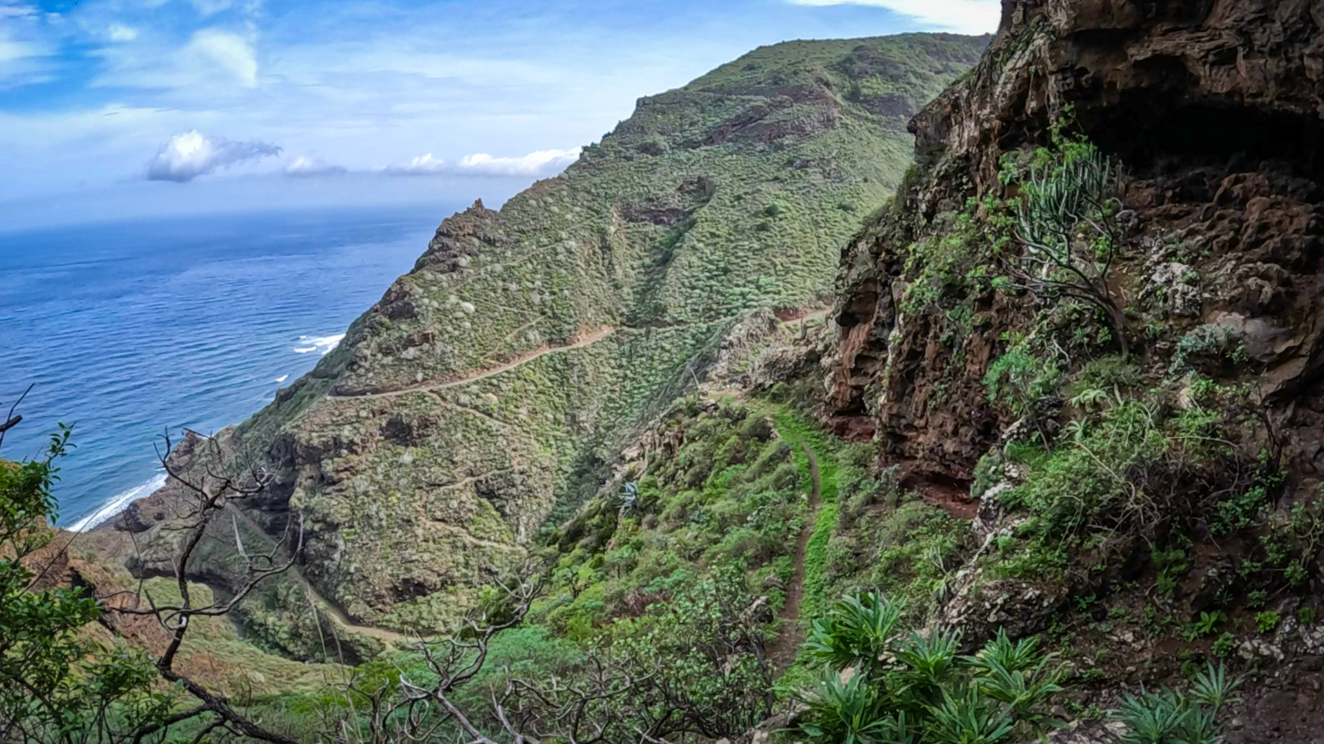
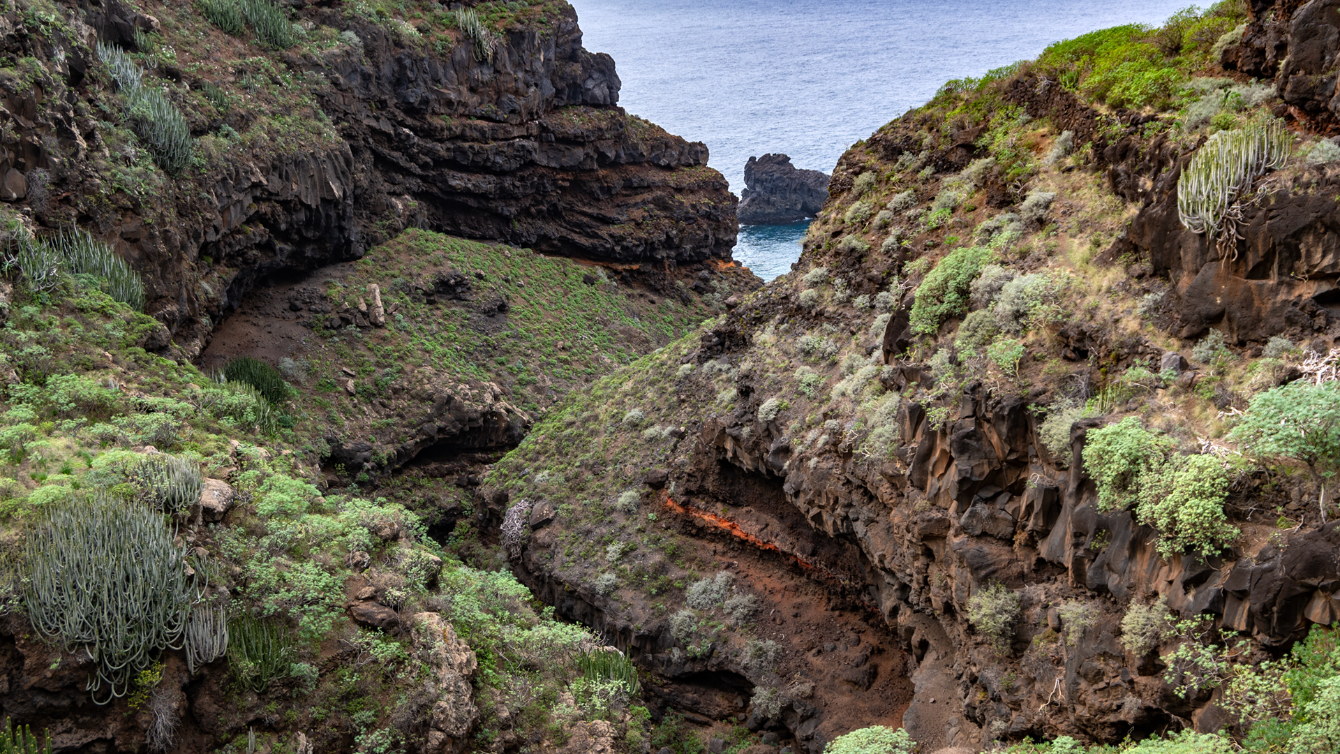
The Barranco de Fernando Porto near Garafía meets the Atlantic at the old Puerto de Garafía. It offers impressive views over the offshore rock formation Los Guinchos — and makes it easy to understand why Garafía remained almost completely isolated from the rest of the island until well into the second half of the 20th century, receiving a paved road only quite late.
Hiking the Barrancos: What You Need to Know
Barranco hikes on La Palma are almost always among the island’s more demanding trail experiences. Paths are often steep, narrow, and partly unsecured. Especially after rainfall, ravines can become dangerous due to slippery rocks, rockfall, and sudden watercourses.
For all barranco hikes: sturdy footwear, sure-footedness, and adequate water supplies are essential. Some gorges like the Barranco de las Angustias or the Barranco Fagundo additionally require good fitness, absolute sure-footedness, and experience with uneven terrain.
Conclusion
The barrancos are among the most authentic and wild places on La Palma. Those who venture into them will be rewarded with views of towering cliff faces, endemic plants, and a silence that exists nowhere else on the island.
Frequently Asked Questions
Which barranco is the most beautiful on La Palma?
What does "barranco" mean?
Are barranco hikes dangerous?
Why are there so many barrancos on La Palma?
Which barranco is especially known for laurel forest?
This article is based on the on-the-ground knowledge of the Gequo editorial team – publishers of the Reisezeit hiking guides and operators of Sunhikes.com. Last updated: May 2026