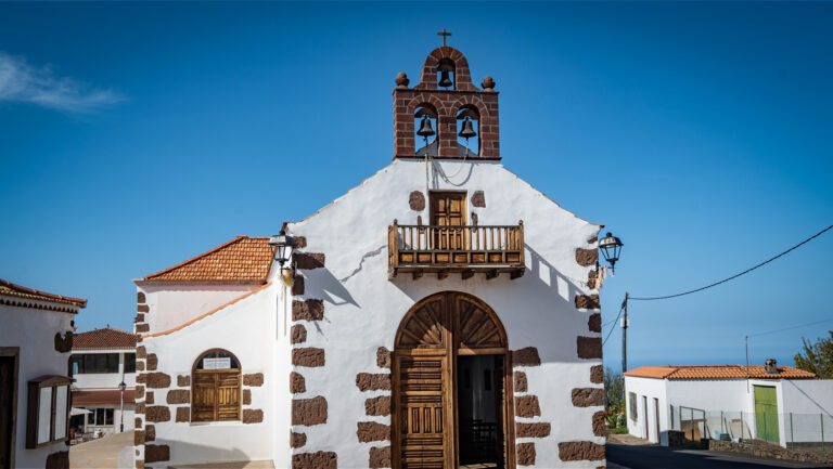
Fuencaliente: At the Southern Tip, Where Wine and Salt Are Made
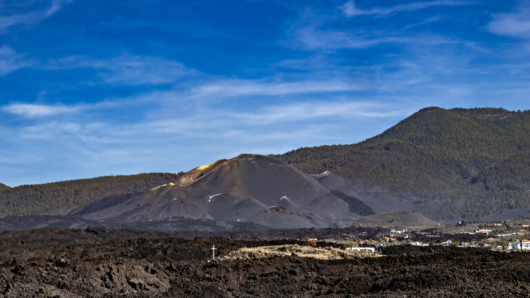
Anyone who travels La Palma from north to south ends up in Fuencaliente — literally. The island’s southern tip is one of the geologically youngest landscapes in the archipelago. Here the Teneguía volcano created new land during its 1971 eruption: glowing lava flowed into the Atlantic and expanded the island by several hectares. On this young volcanic soil, some of the Canary Islands’ finest wines now thrive, while high-quality sea salt is harvested along the coast at the Salinas de Fuencaliente.
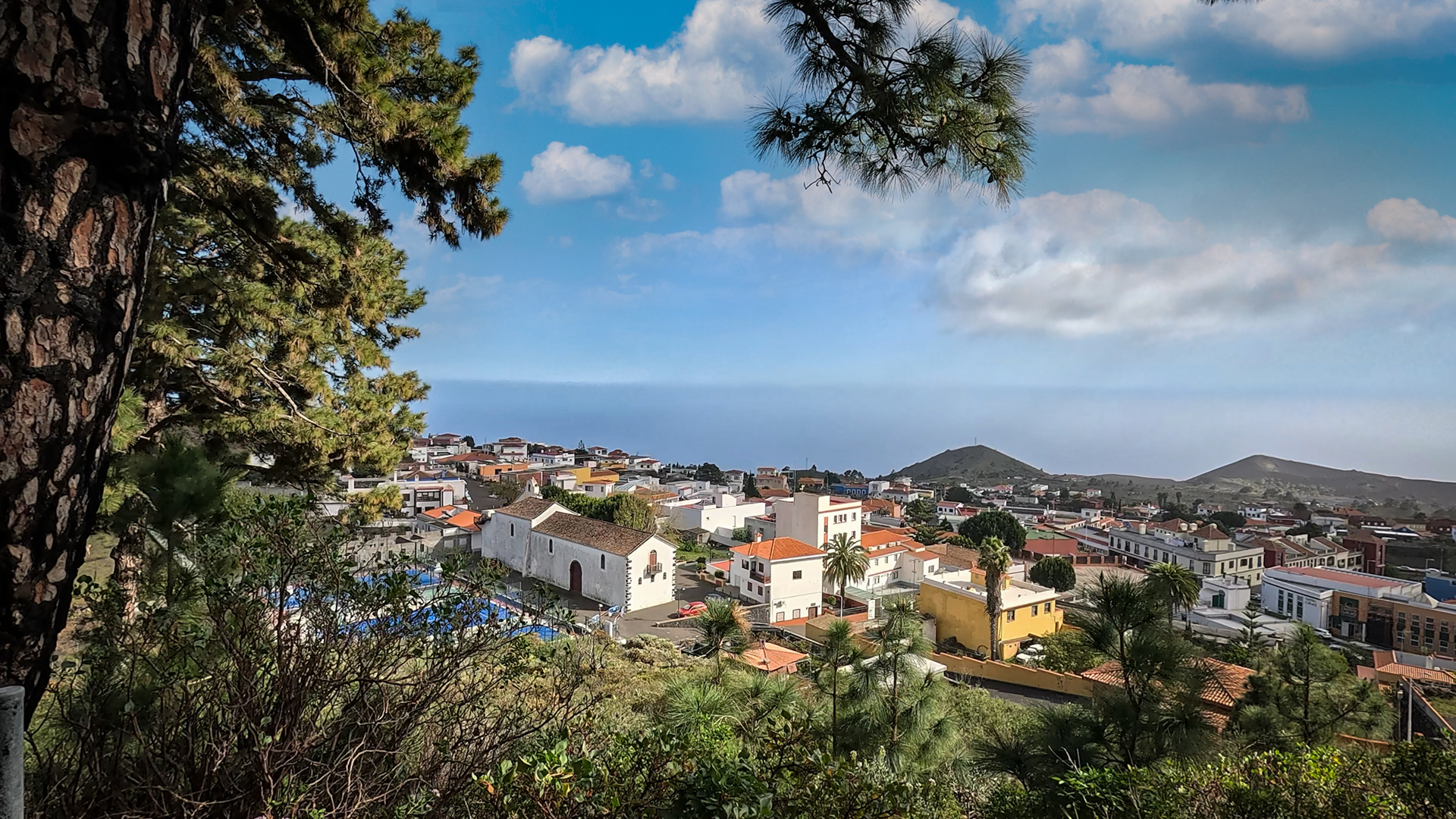
Fuencaliente – literally “Hot Spring” – owes its name to the legendary Fuente Santa. The thermal spring, known as a healing spring, was buried under massive lava flows during the 1677 eruption of Volcán San Antonio. It remained lost for over 300 years until rediscovered by drilling in 2005. Today Los Canarios forms the centre of the municipality. From there, the signposted coastal road LP-207 leads down to the salt pans and the two lighthouses at the southern tip.
The Salt Pans: Pink Salt Between Lava and Lighthouse
The Salinas de Fuencaliente are one of La Palma’s most striking sights: flat salt pans in soft pink, framed by jet-black lava rock, with the red-and-white-striped Faro de Fuencaliente — the double lighthouse at the southern tip — in the background. The salt is sold under the name Sal de Teneguía and is considered a delicacy found as table salt in good Canarian restaurants. It can be purchased directly on site.
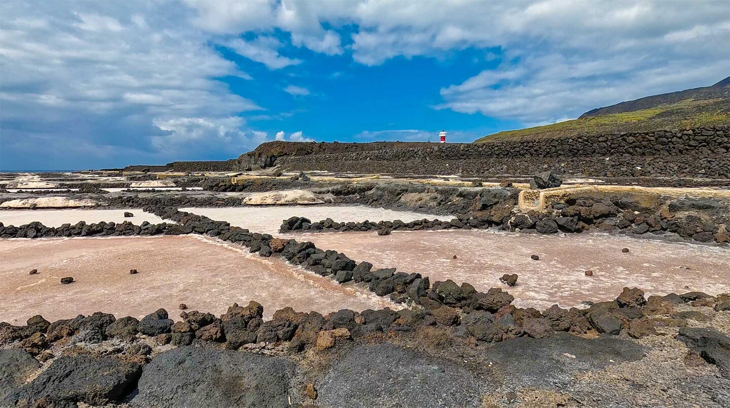
The salt ponds are also an important resting place for numerous migratory birds such as black-winged stilts and little stints. A short coastal path leads from the salt pans along the black lava to the Playa de Echentive, whose natural lava pools are among the finest bathing spots in southern La Palma. Right next to the salt pans, the restaurant El Jardín de la Sal invites guests to enjoy regional specialities overlooking the salt fields and the Atlantic.
Viticulture on Ash: Fine Wines from the Lava Fields
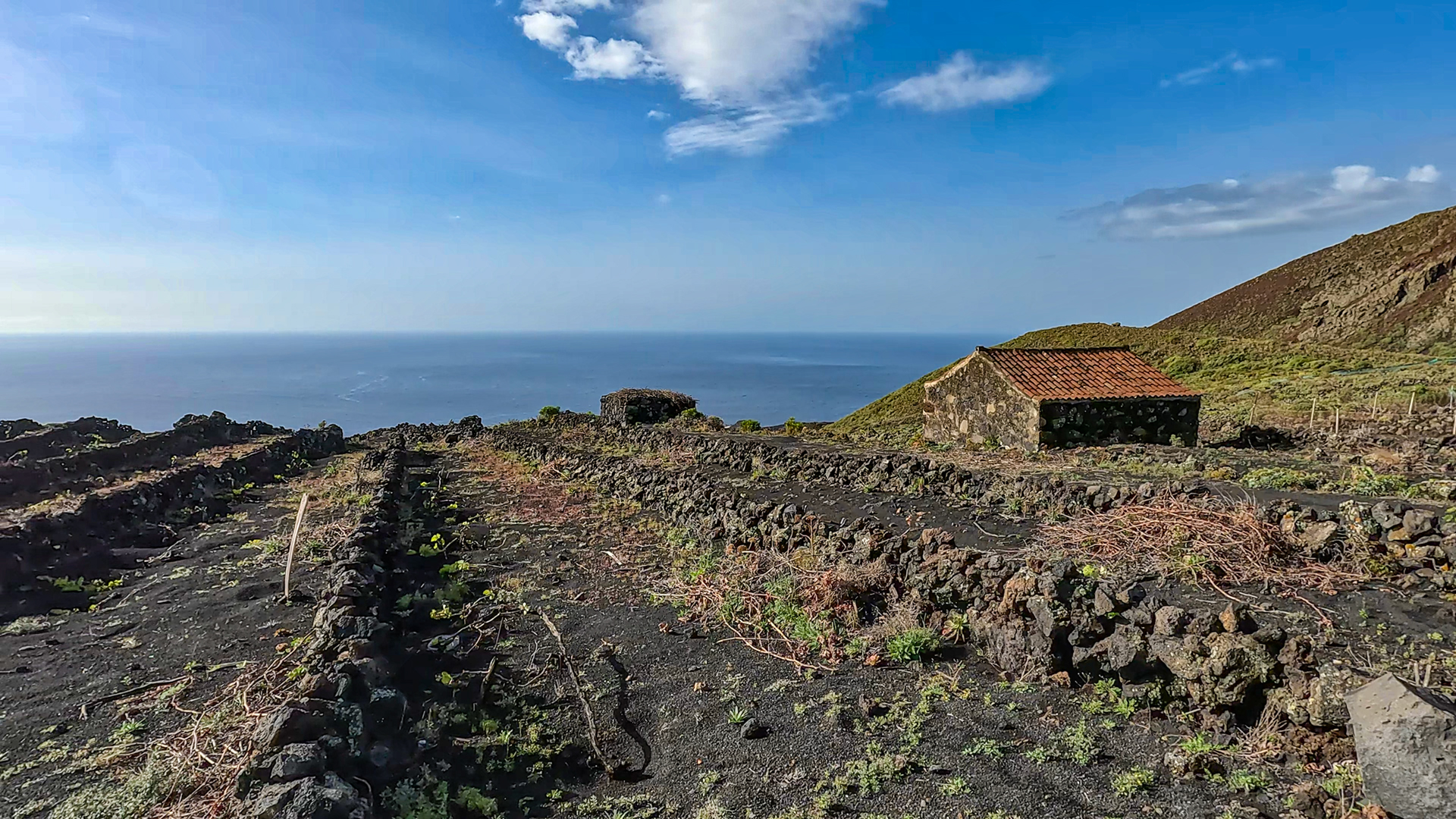
Fuencaliente is La Palma’s most important wine-growing area. On black volcanic ash and mineral-rich soils, grape varieties such as Malvasía, Listán Blanco, and Negramoll thrive, producing wines of great character. The protected designation of origin D.O. La Palma has guaranteed their provenance and quality since 1994. Opposite the visitor centre of Volcán San Antonio, there is a bodega with direct sales where the regional wines can be tasted. The landscape is at its most beautiful during the harvest season between late August and September.
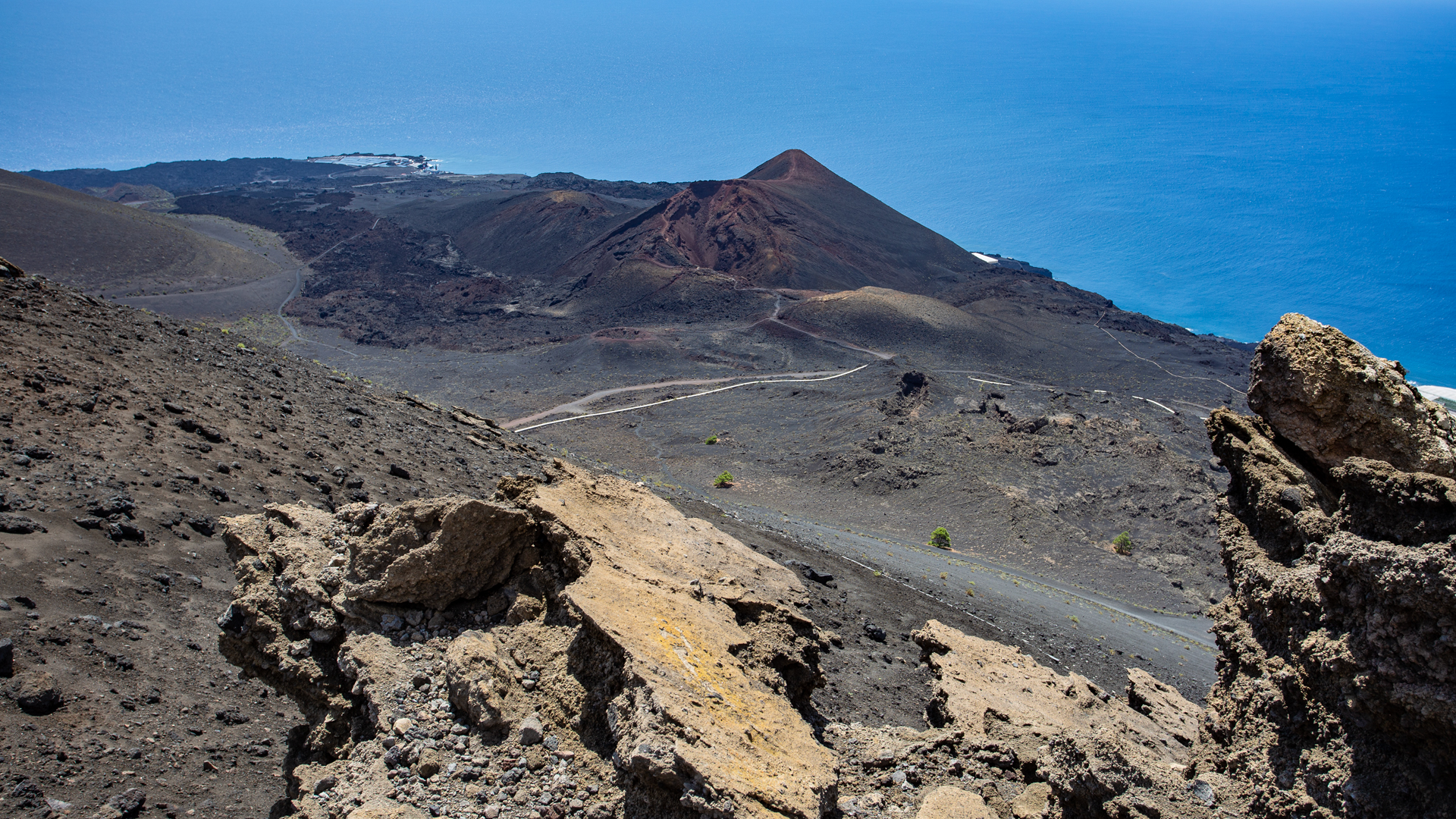
The volcanoes San Antonio and Teneguía are among the most impressive natural attractions on the island. At Volcán San Antonio a modern visitor centre provides information about the geological history of La Palma. A loop trail then follows the crater rim with sweeping views toward the southern tip. From here, a marked hiking trail also descends to the younger Volcán Teneguía, whose 1971 eruption created the island’s youngest land. The sharp-edged lava rock makes sturdy footwear essential.
Hiking Tip: Round Trip to Volcán Martín
Route type: Loop hike (start/finish: Fuente de los Roques rest area)
Distance: 10.2 km
Elevation: approx. 550 m ascent and descent
Route character: Varied mountain and crater hike to Volcán Martín de Tigalate (1,591 m). The route combines shaded sections through open Canarian pine forest with a spectacular, barren volcanic landscape. A contrasting experience that demands sure-footedness, as the steep ascent to the crater rim runs entirely through deep, loose black volcanic ash (lapilli).
Fuencaliente at a Glance
| Location | Southernmost tip of La Palma, approx. 45 minutes south of Santa Cruz de La Palma. |
| Highlights | Salinas de Fuencaliente, lighthouses, volcano San Antonio & Teneguía. |
| Cuisine | Top-quality volcanic wines (Malvasía), hand-harvested Flor de Sal. |
Swimming Tips in Southern La Palma
Playa de Echentive & El Aljibe
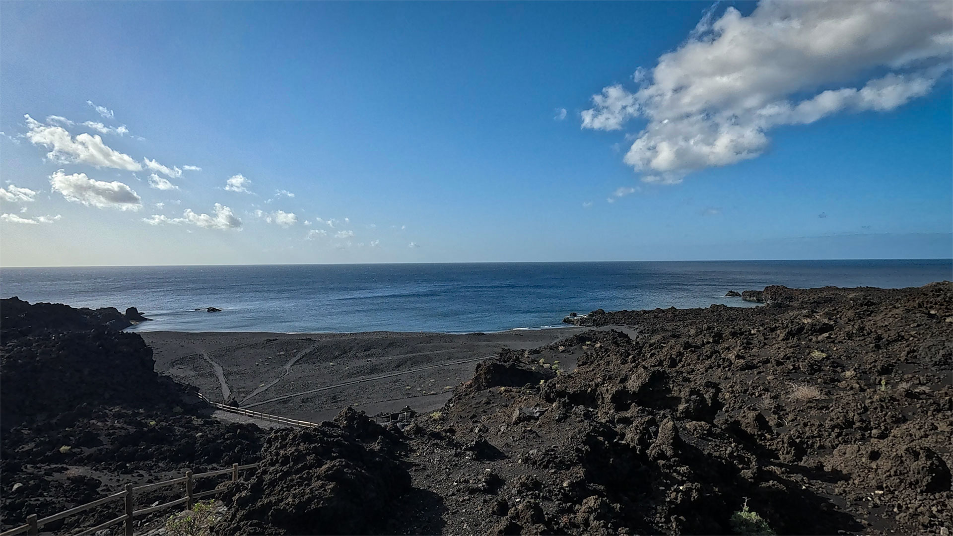
Formed after the 1971 Teneguía eruption, the Playa de Echentive impresses with its black pebble beach and unique volcanic landscape. The real highlight, however, is the natural seawater pool El Aljibe, sheltered behind the lava fields. The crystal-clear water is ideal for swimming, while the open sea is only safe in calm conditions due to surf and currents.
Playa de la Zamora
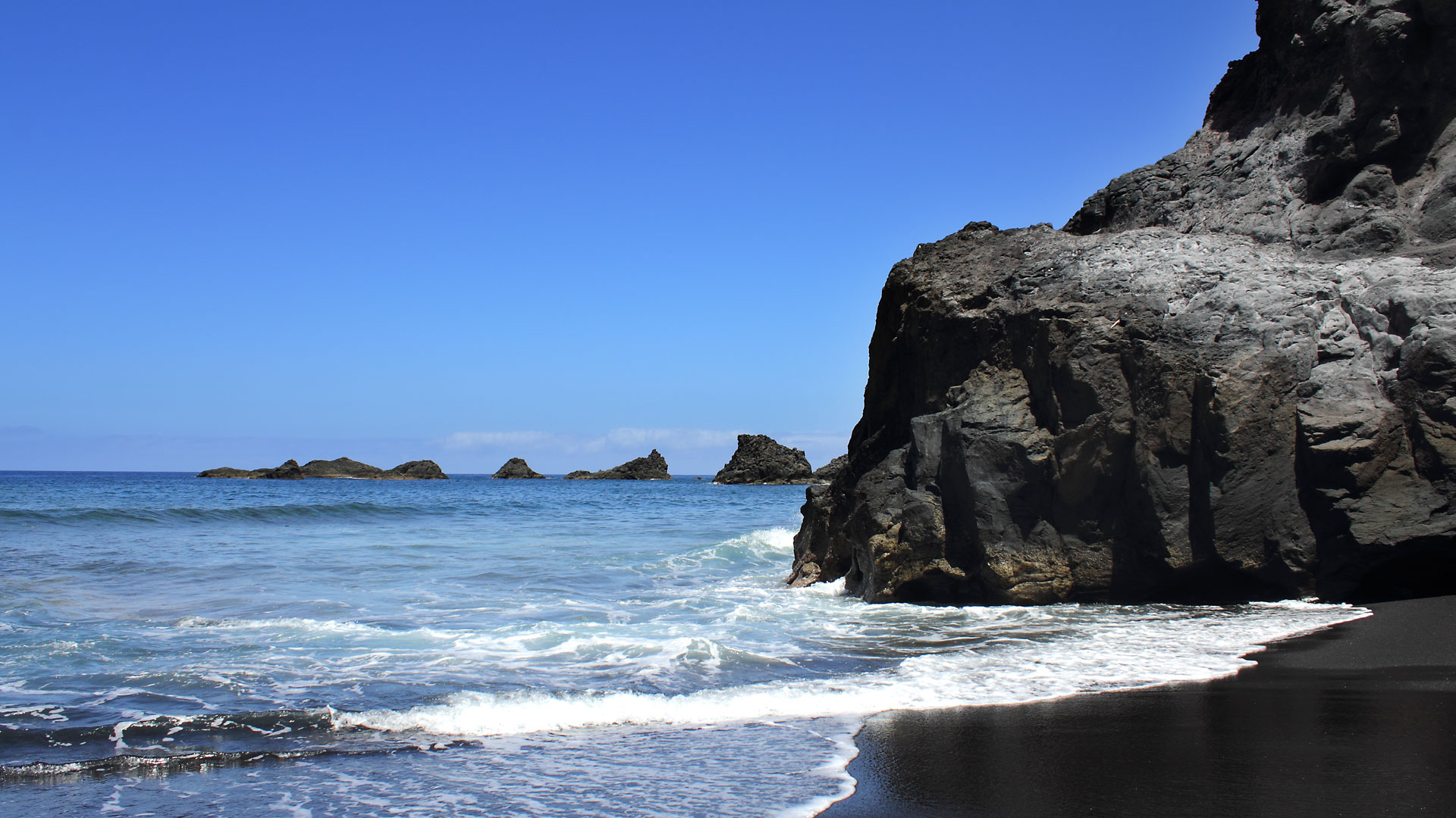
Below the cliffs of Las Indias lies one of La Palma’s finest black sand beaches. The Playa de la Zamora is reached via a staircase and framed by impressive cliff walls. Offshore rocks dampen the swell somewhat, but always watch the surf. Above the beach, a small kiosk serves regional specialities with a wonderful sea view.
Quick Overview
- Playa de Echentive & El Aljibe: Natural seawater pool with sheltered water, spectacular volcanic landscape, large car park.
- Playa de la Zamora: Black sand beach, staircase access, kiosk with sea views and atmospheric sunsets.
Conclusion
Fuencaliente uniquely combines volcanic landscapes, viticulture, salt pans, and spectacular coastal scenery. Whether it’s a crater hike, a wine tasting, a stroll through the salt gardens, or a sunset at the lighthouse — few regions of La Palma bring together nature, geology, and pleasure so impressively.
Frequently Asked Questions
What is the story of the Fuente Santa?
How do you get to the salt pans and the lighthouses?
Is the visitor centre at Volcán San Antonio worth visiting?
What wines are typical of Fuencaliente?
Can you swim in Fuencaliente?
What is the story behind the name 'Fuencaliente'?
This article is based on the on-the-ground knowledge of the Gequo editorial team – publishers of the Reisezeit hiking guides and operators of Sunhikes.com. Last updated: May 2026