La Palma – the Island in Numbers
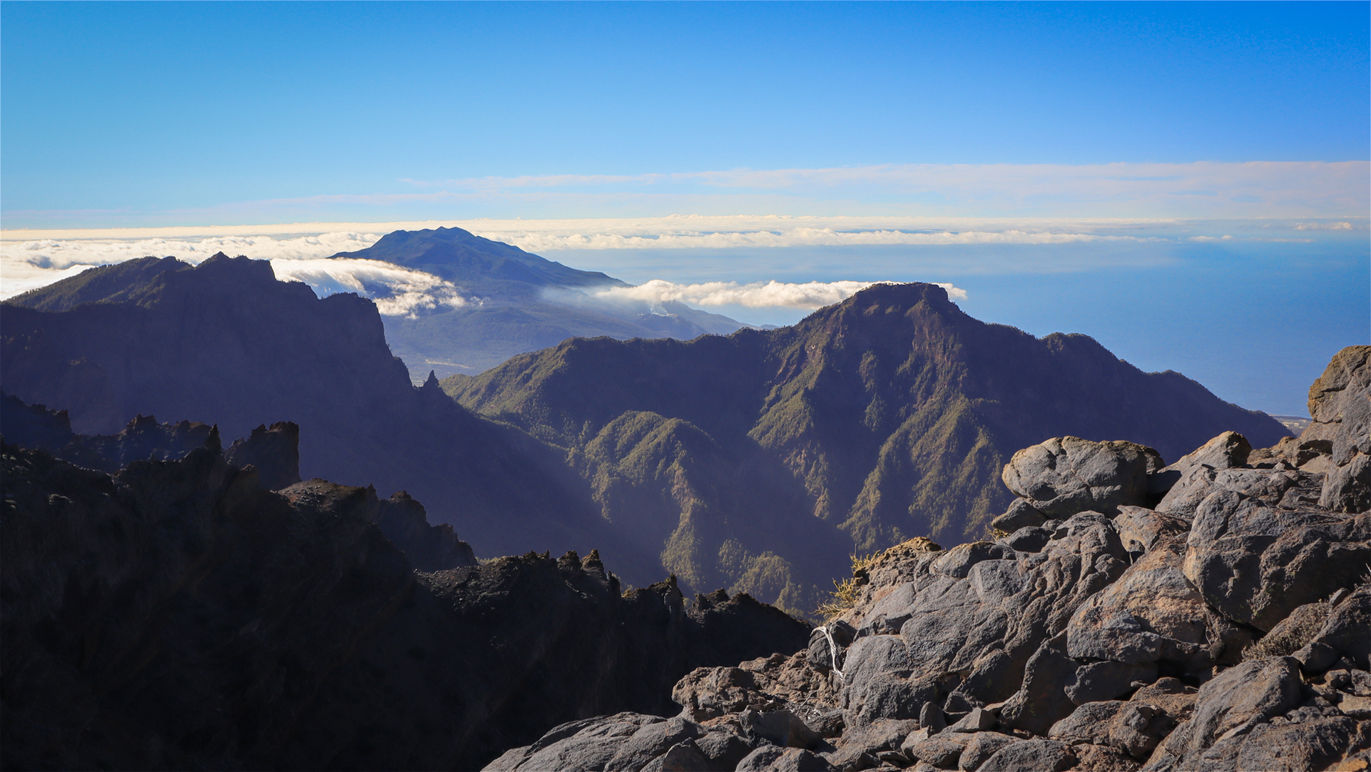
La Palma is small – 708 square kilometres in area, barely 45 kilometres long and 27 kilometres wide. But anyone assuming this means easy driving distances will soon be proved wrong on their first trip around the island. This compact area contains 2,426 metres of elevation, more than thirty deeply cut ravines, five climate zones, and a trail network that seems virtually endless. La Palma is an island that feels significantly larger in experience than it appears on a map.
Geographical Location at a Glance
Geographically, La Palma is the most north-westerly island of the Canarian archipelago. It lies at the latitude of the Sahara – yet the north-east trade wind together with the Canary Current ensures a pleasantly mild climate year-round.
The nearest neighbouring island, Tenerife, is around 86 kilometres away as the crow flies, while the African coast of Morocco is about 417 kilometres distant. The Spanish mainland, by contrast, is more than 1,600 kilometres away – considerably further than most visitors assume.
| Feature | Figure |
|---|---|
| Area | 708 km² |
| Length (north–south) | 45.2 km |
| Width (east–west) | 27.3 km |
| Highest point | Roque de los Muchachos (2,426 m) |
| Total height (seabed to summit) | over 6,000 m |
| Population (2026) | approx. 83,000 |
| Capital | Santa Cruz de La Palma |
| Largest town | Los Llanos de Aridane |
| Municipalities | 14 |
| Province | Santa Cruz de Tenerife |
| Distance to Tenerife | approx. 86 km |
| Distance to the African coast | approx. 417 km |
The 14 Municipalities
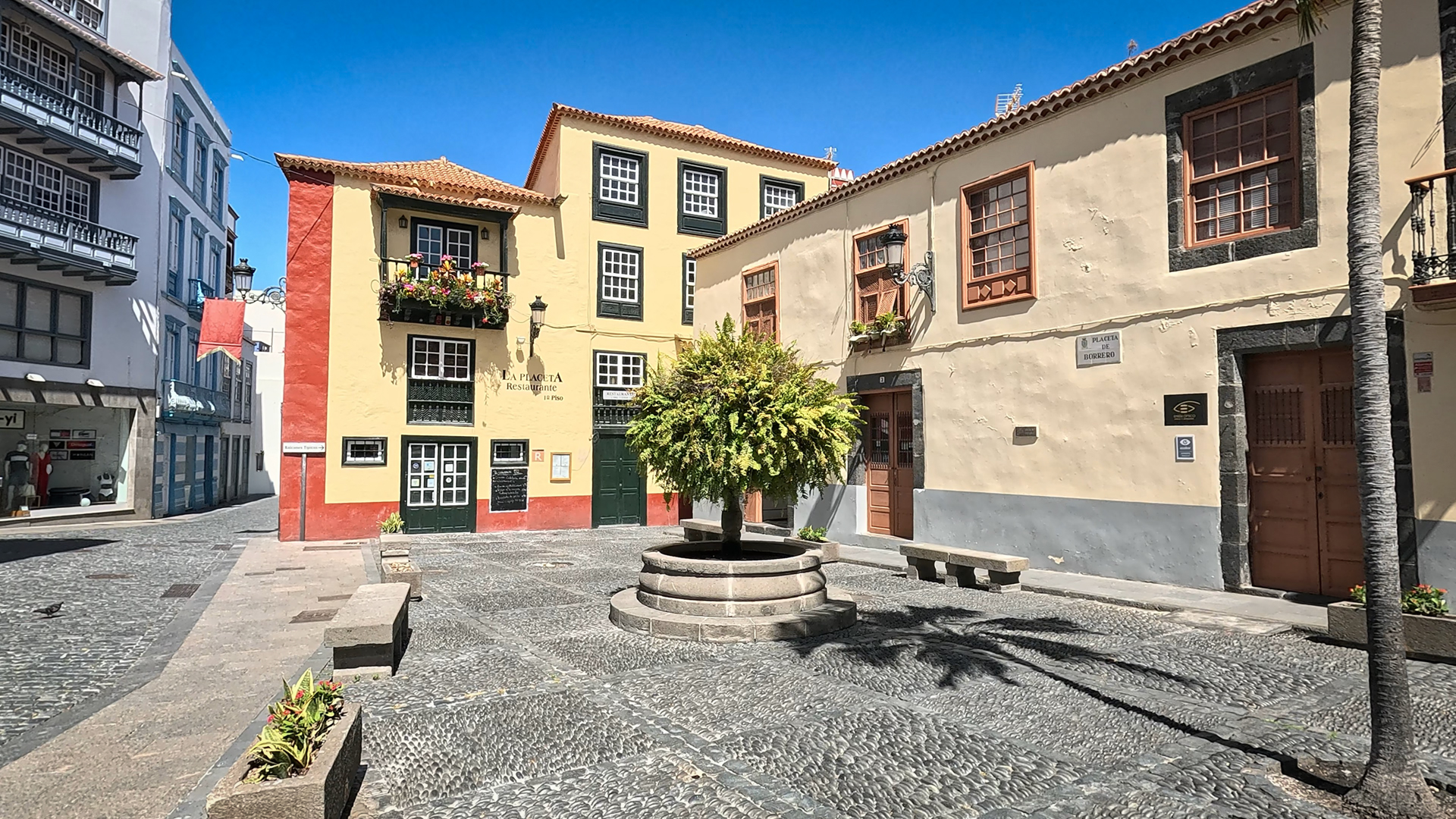
La Palma is divided into 14 independent municipalities: Barlovento, Breña Alta, Breña Baja, Fuencaliente, Garafía, Los Llanos de Aridane, El Paso, Puntagorda, Puntallana, San Andrés y Sauces, Santa Cruz de La Palma, Tazacorte, Tijarafe, and Villa de Mazo. Each has its own distinct character. Garafía represents the remote wilderness of the north; Los Llanos de Aridane forms the economic centre of the west coast; and Santa Cruz de La Palma captivates with colonial architecture, narrow lanes, and maritime atmosphere.
Population and Culture
Around 83,000 people live permanently on La Palma today. Alongside the Palmeros, mainland Spaniards and historically established communities from Venezuela and Cuba shape the island’s social fabric. At the same time, the number of residents from the UK, the Netherlands, and Scandinavia has been growing steadily for years.
Economy – Agriculture and Gentle Tourism
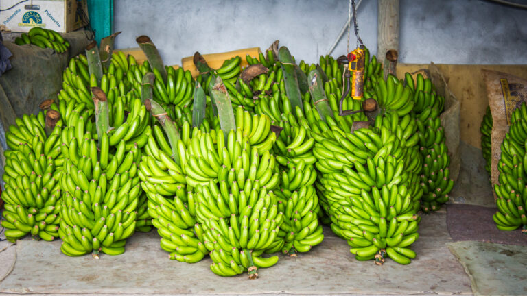
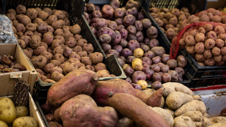
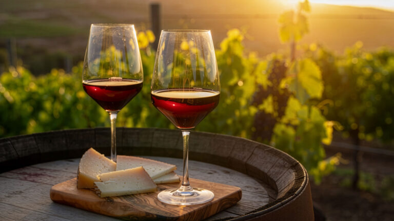
Agriculture remains a cornerstone of the island’s economy. The Plátano Canario is the most important export crop and supports numerous jobs, particularly in the Aridane Valley. Agriculture is complemented by the cultivation of avocados, citrus fruits, tomatoes, and the traditional production of wine on volcanic soils.
Tourism is growing in importance, but it is developing far more cautiously than on the larger neighbouring islands. It is precisely this quality-oriented approach to tourism that has done so much to preserve La Palma’s unspoilt character.
Isla Bonita – Where Does the Nickname Come From?
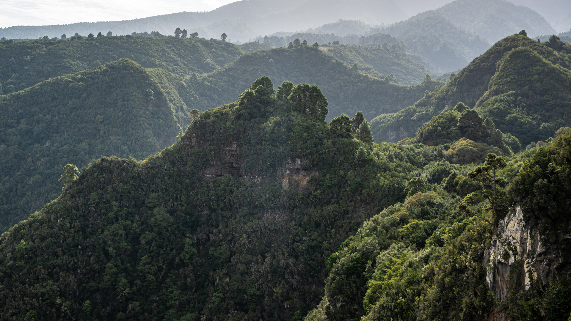
‘La Isla Bonita’ – the beautiful island. La Palma did not receive this title from marketing professionals, but from seafarers who saw it for the first time: a green volcanic island with white houses on its slopes, deep barrancos, and a richness of vegetation rarely found on other Atlantic islands.
Madonna’s 1987 song ‘La Isla Bonita’ does not originally refer to any specific island, but it helped make the name known worldwide – much to the delight of the Palmeros, who have used it for their island for centuries. Whether Madonna has ever visited La Palma is not recorded.
Today, the island thrives on its blend of tranquillity, natural wealth, and an intact culture. With 83,000 inhabitants and tourism that places quality above volume, La Palma has taken a path that is unique in the Canary Islands.
Conclusion
La Palma has preserved its authenticity to this day. With a modest population, a strong agricultural tradition, and tourism that consistently prioritises nature, sustainability, and quality over mass appeal, the island occupies a distinctive position within the Canary Islands.
Frequently Asked Questions (FAQ)
How many people live on La Palma?
Which Spanish province does La Palma belong to?
Why is La Palma called 'La Isla Bonita'?
How high is La Palma?
Why does La Palma feel larger than it actually is?
This article is based on the on-the-ground knowledge of the Gequo editorial team – publishers of the Reisezeit hiking guides and operators of Sunhikes.com. Last updated: May 2026