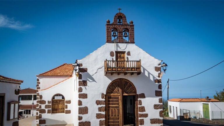
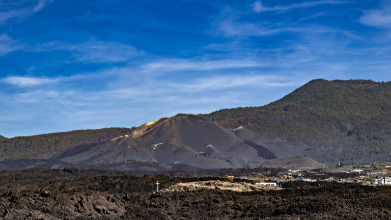
Caldera de Taburiente National Park: Hiking Through La Palma’s Green Heart
The Caldera de Taburiente National Park has been La Palma’s green heart since 1954 — and one of the few protected areas in Europe where visitors can still experience true wilderness: no paved paths, no fences, no infrastructure beyond a few basic trail markers and the official campsite Playa de Taburiente.
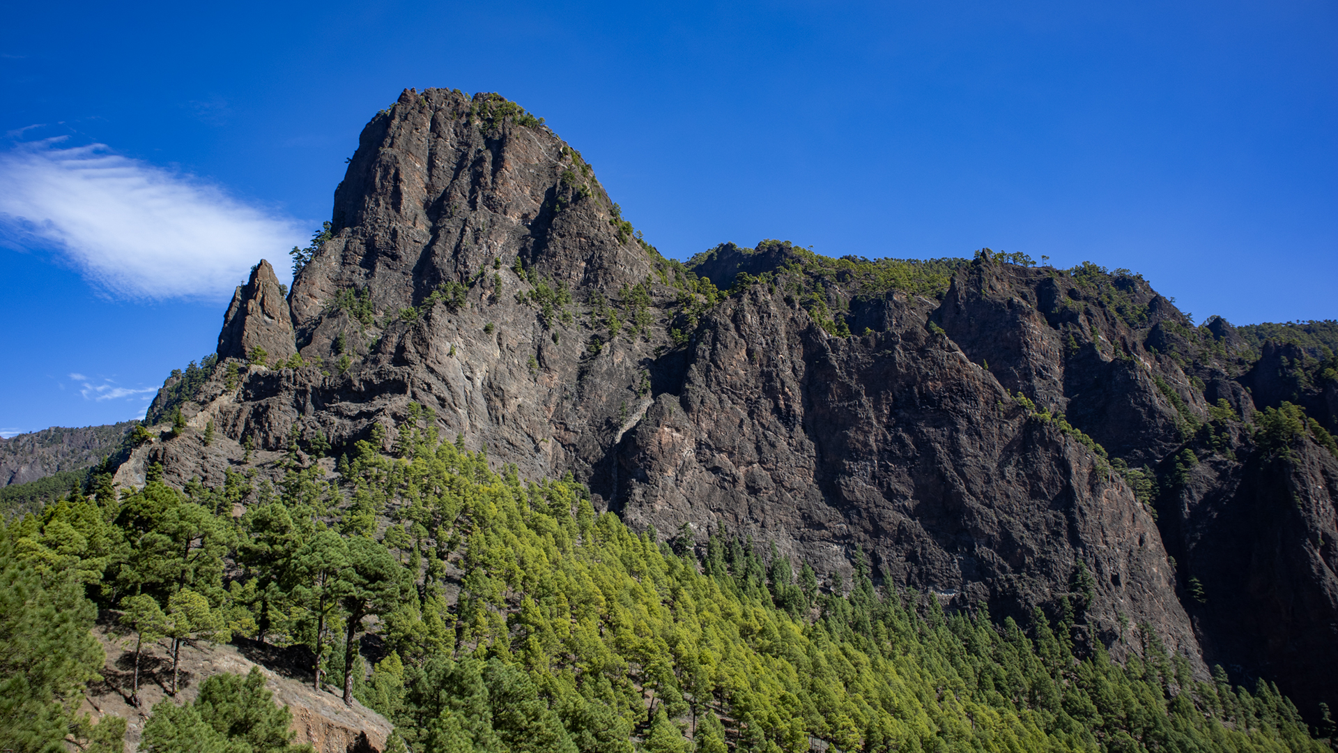
Extensive stands of Canarian pine define the landscape. This unique tree species has an exceptionally thick bark and can regenerate even after wildfires. Complemented by laurel trees, ferns, and the shimmering blue-green waters of the Río Taburiente, the caldera creates an ecosystem unlike anywhere else in the Canary Islands.
The Caldera de Taburiente is today considered primarily the result of millions of years of erosion and massive slope collapses. Earlier theories proposing a massive volcanic collapse crater have largely been replaced by this erosion hypothesis — though complete scientific consensus is still pending.
La Cumbrecita: The Main Entrance and Most Important Viewpoint
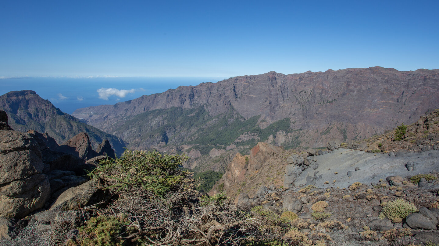
La Cumbrecita is the deepest notch in the caldera rim and the most popular access point to the National Park. From here you get the famous view where the bowl suddenly opens before you: steep walls, pine forest, and the valley floor far below. Several short, well-marked trails lead from La Cumbrecita into the caldera and to neighbouring viewpoints.
La Cumbrecita is one of the most popular viewpoints in the national park. Access is therefore strictly regulated. Visitors may drive their own vehicle to the small parking area at the viewpoint, but must book a time slot linked to their license plate online in advance. Without a valid reservation, the barrier in the valley will not open. As only a few parking spaces are available, early booking is recommended, especially in high season. Reservations can be made online via the official national park website.
Los Brecitos: The Gateway to the Caldera Interior
For hikers wanting to descend into the interior of the Caldera, Los Brecitos (1,080 m) is the starting point. The classic traverse of the Caldera begins at the Mirador de Los Brecitos and ends at the Barranco de las Angustias. The narrow mountain road to Los Brecitos is closed to private vehicles. Hikers therefore park their rental car at the car park in the Barranco de las Angustias — the later endpoint of the hike. From there, shared hiking taxis run in the mornings, taking hikers up to the starting point for a fee. This allows you to finish the hike right back at your vehicle without needing extra transport.
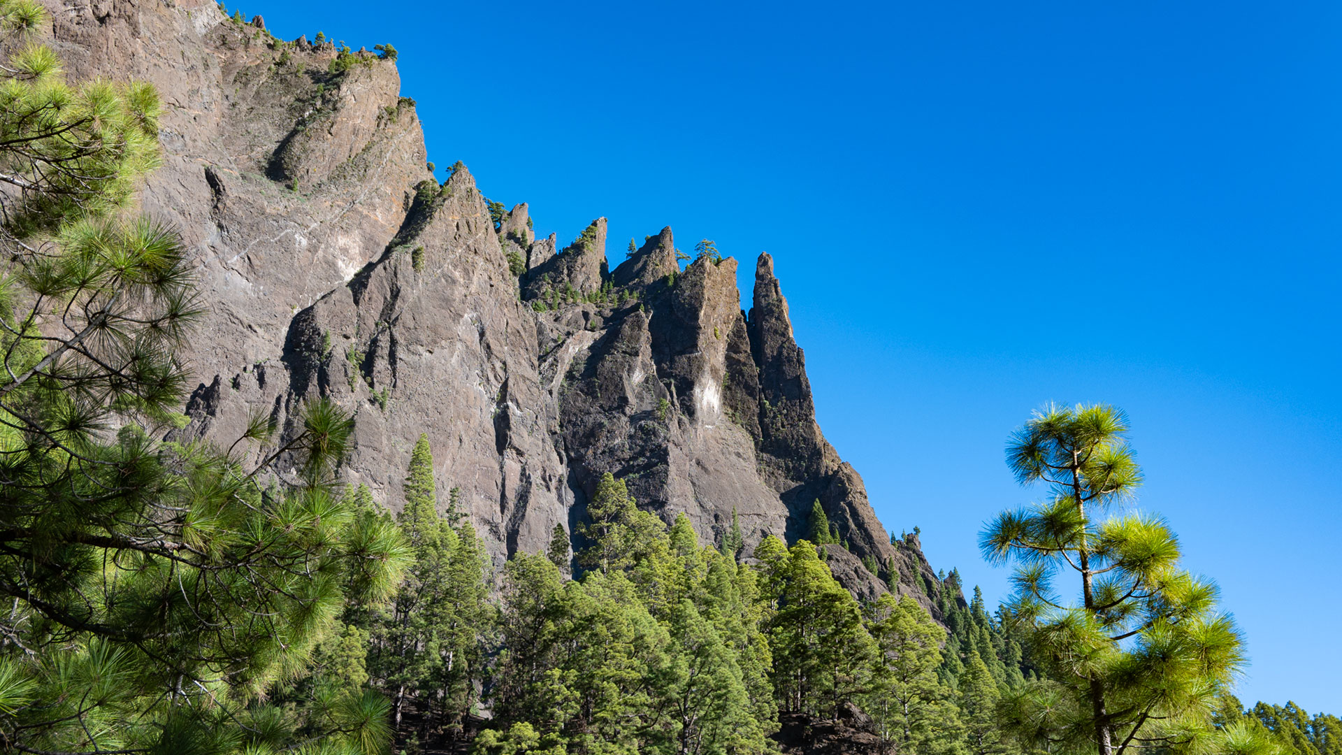
From Los Brecitos, hikers descend via trail PR-LP-13 to the valley floor. The route is demanding due to its length and constant descent (about 650 m to the valley floor). The trail passes the Playa de Taburiente, several waterfalls, and the Roque Idafe monolith.
Roque Idafe: The Sacred Rock
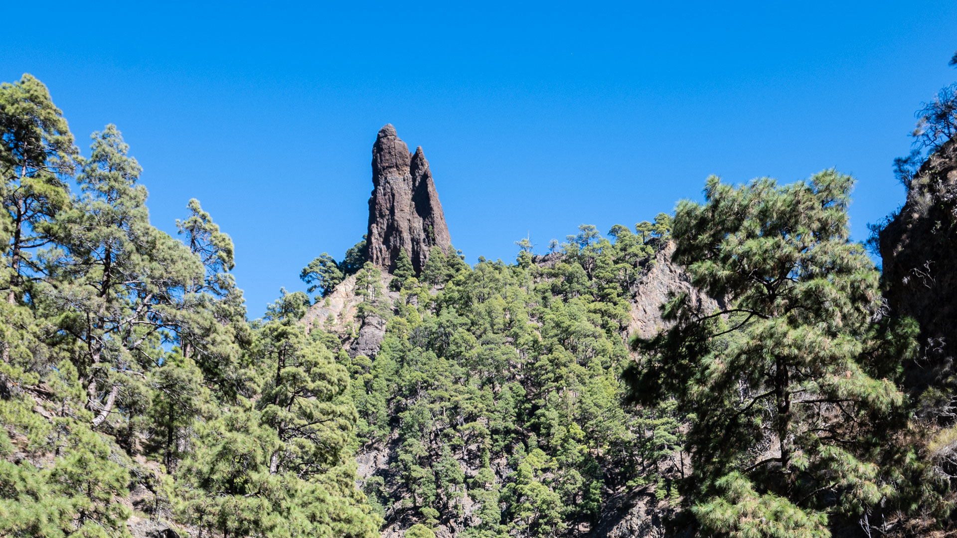
The Roque Idafe, a needle-shaped basalt monolith, rises about 100 metres into the sky from an isolated rock plateau. The Benahoaritas — La Palma’s pre-Hispanic inhabitants — venerated it as a pillar between heaven and earth, and brought offerings to prevent it from falling and crushing the island. Today it remains one of the most striking rock formations in the national park.
Cascada de Colores: The Famous Colourful Waterfall
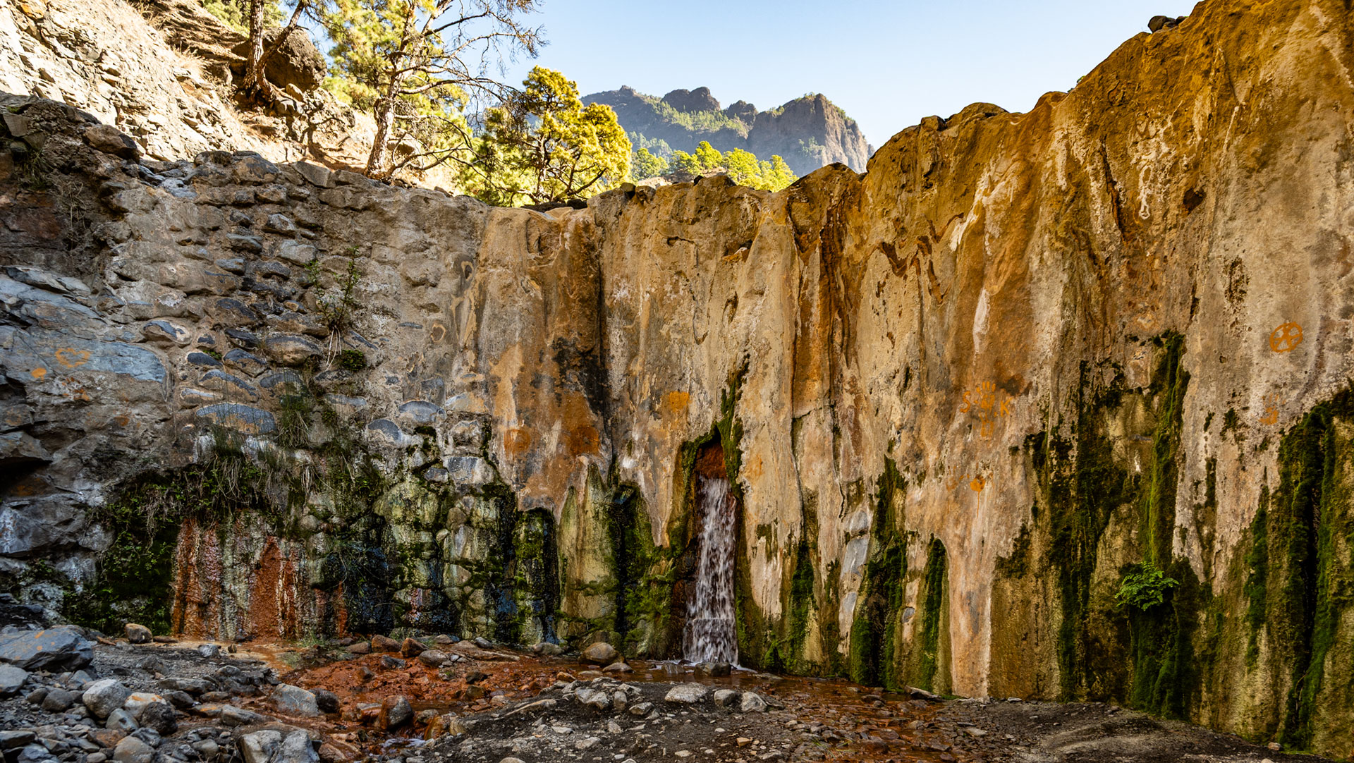
Anyone leaving the Caldera via the Barranco de las Angustias should not miss the short detour to the Cascada de Colores. The small waterfall in the Barranco de Rivanceras is one of the most photographed spots in the national park. Its vivid yellows, oranges and greens are created by iron-rich minerals, oxidation processes and microorganisms that coat the rocks with colourful deposits. The waterfall is at its most impressive after periods of heavy rainfall.
Important Safety & Park Regulations
Reservation for La Cumbrecita is mandatory. No open fires. Camping only at the official Playa de Taburiente campsite with permit. No picking of plants. Dogs not permitted.
Flash Flood Danger: The Caldera de Taburiente has only one natural outlet, the Barranco de las Angustias. Even heavy rainfall at higher elevations can cause dangerous flash floods within a short time. Hikes into the Caldera must not be started during rain or storm warnings or when the national park is closed. Before any hike, check the latest weather and park information.
Conclusion
The Caldera de Taburiente National Park is La Palma’s green secret. Those who enter — via La Cumbrecita or Los Brecitos — will experience the island at its most authentic.
Frequently Asked Questions
How do you reserve for La Cumbrecita?
How high is Los Brecitos?
What is Playa de Taburiente?
This article is based on the on-the-ground knowledge of the Gequo editorial team – publishers of the Reisezeit hiking guides and operators of Sunhikes.com. Last updated: May 2026