Caldera de Taburiente: Not a Volcanic Crater, but an Erosion Wonder
Standing at the edge of the Caldera de Taburiente for the first time — best at La Cumbrecita, where the forest opens to suddenly reveal the entire basin — you face a landscape mystery. A massive, bowl-shaped amphitheater about eight kilometers in diameter. Cliff walls dropping almost 2,000 metres to the valley floor in places. Pine forests on the slopes, a silver-shimmering stream in the valley, waterfalls in the gorges. All around rises the caldera’s massive rim, broken only by the Barranco de las Angustias — the sole natural drainage outlet.
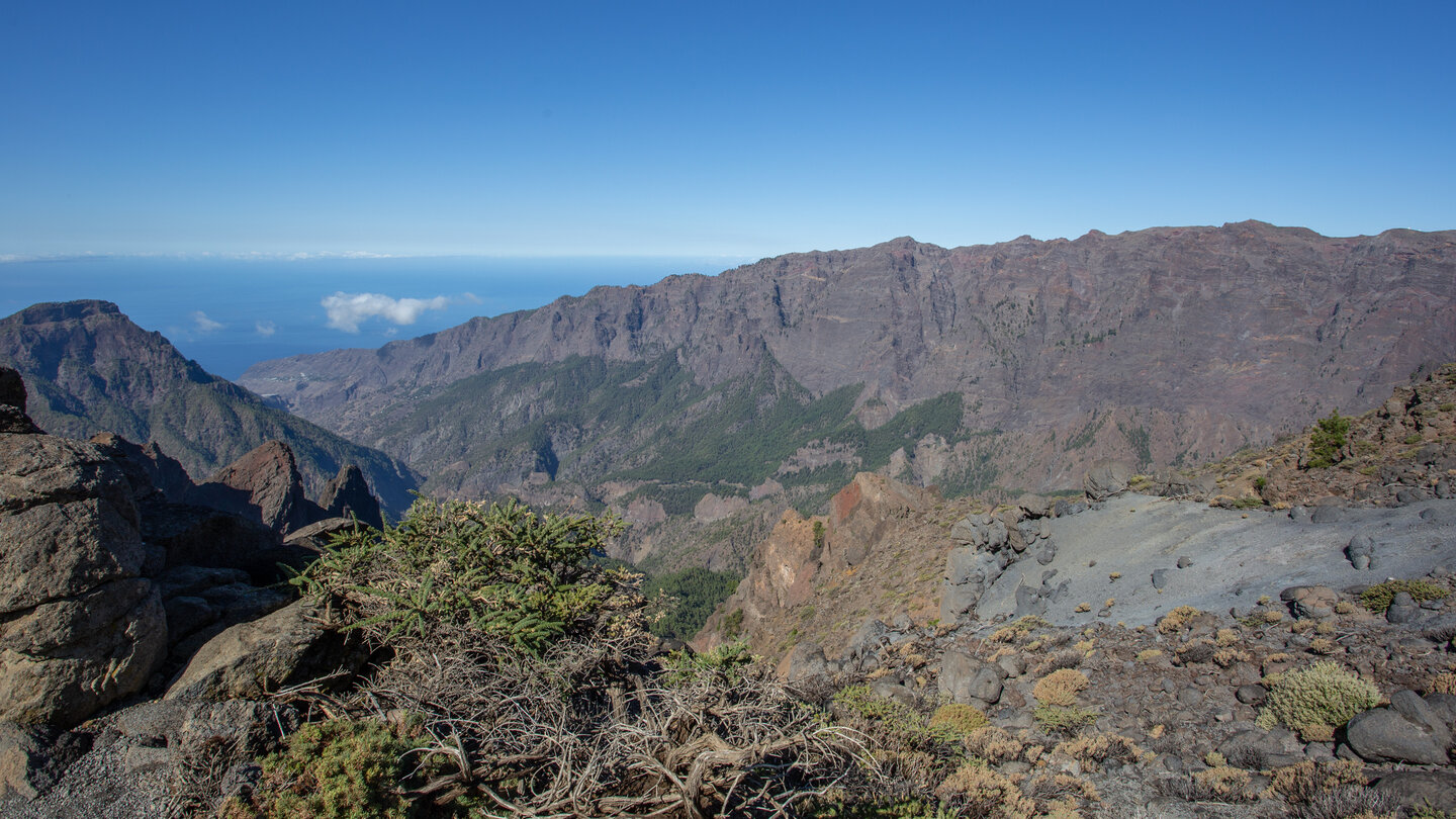
The Caldera de Taburiente is one of the world’s largest erosion calderas. What looks like a volcanic crater is in reality the opposite: not an explosion, but erosion. For millions of years, water and gravity hollowed out the volcano from within. Enormous landslides enlarged the bowl. What is visible today as the caldera is the sculpture of water — not of fire.
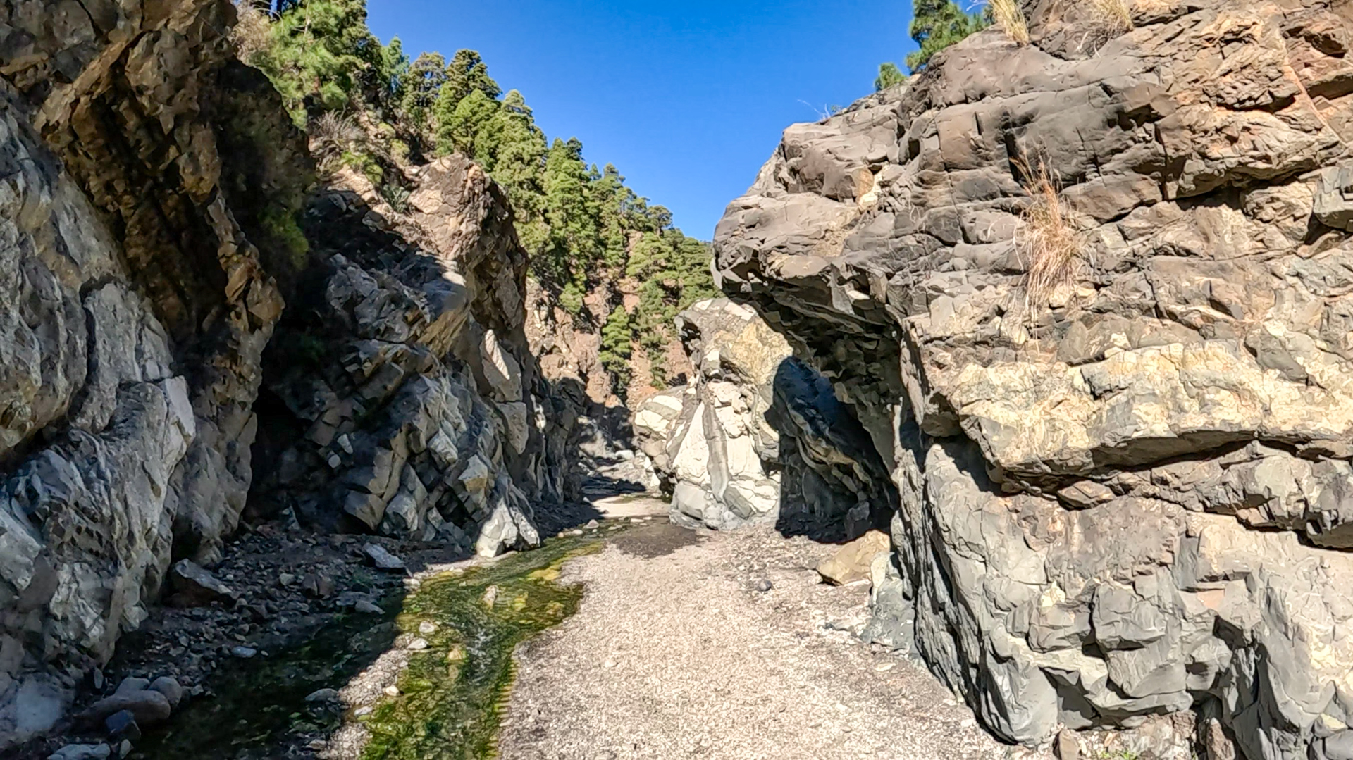
Today geologists believe the Caldera de Taburiente did not form through a single event, but through the interplay of volcanism, deep erosion, and repeated large-scale slope collapses over millions of years.
How Did the Caldera Form?
La Palma began around 2 million years ago as an underwater volcano that grew from the ocean floor (4,000 metres depth) up through the water surface. The northern part of the island, where the caldera lies, is the older section: a massive shield volcano built up and was — through enormous collapses and the force of water — hollowed out from within. The only natural drainage is the Barranco de las Angustias, through which the caldera’s water reaches the sea at Tazacorte.
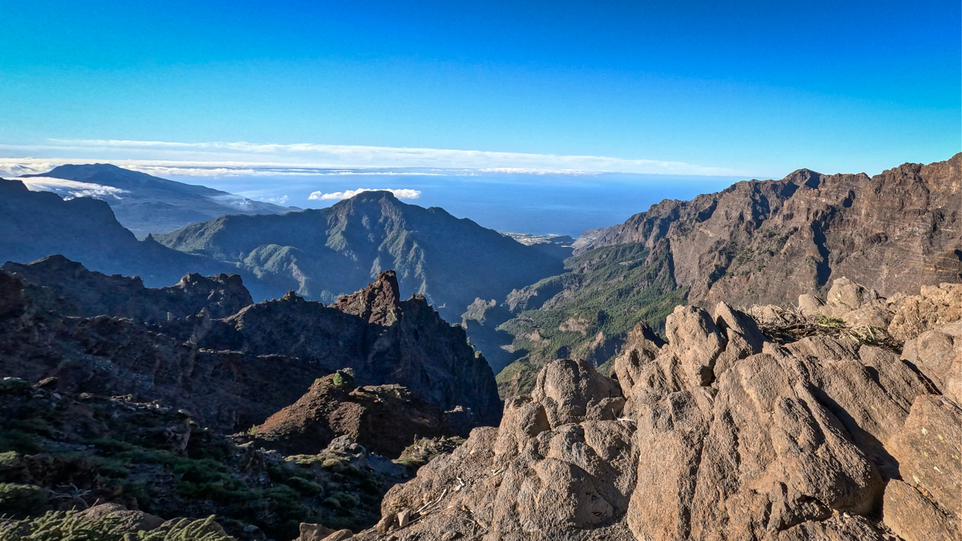
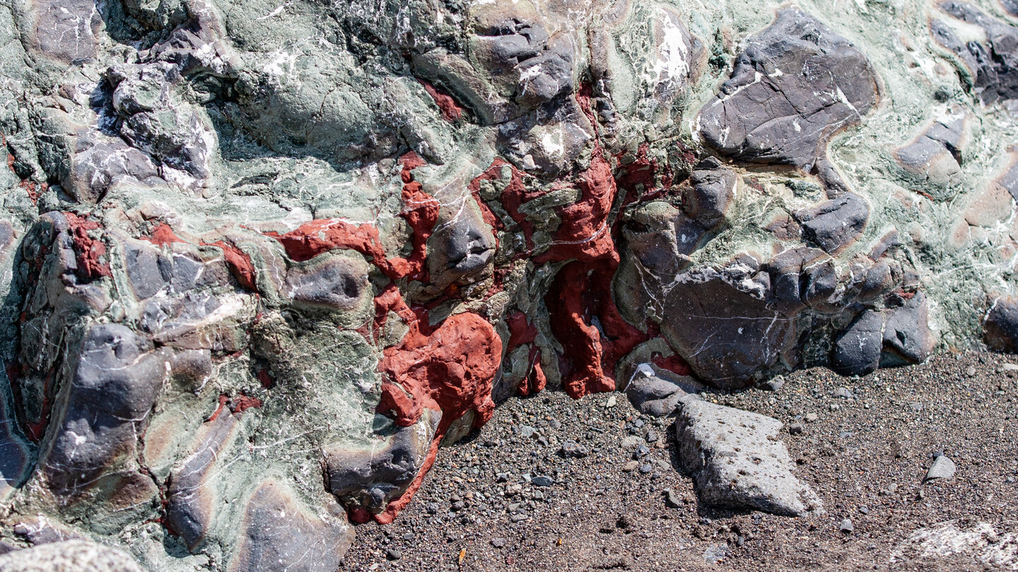
Inside the caldera, rock layers are visible that are normally deep below sea level: basalt complexes and pillow lava that once formed on the ocean floor. The Caldera floor lies at approximately 430 metres above sea level; the highest point of the rim reaches Roque de los Muchachos at 2,426 metres. The elevation difference within the Caldera is impressive — and one of the reasons why the classic traverse from Los Brecitos via Playa de Taburiente through the Barranco de las Angustias ranks among La Palma’s most spectacular hikes.
The National Park
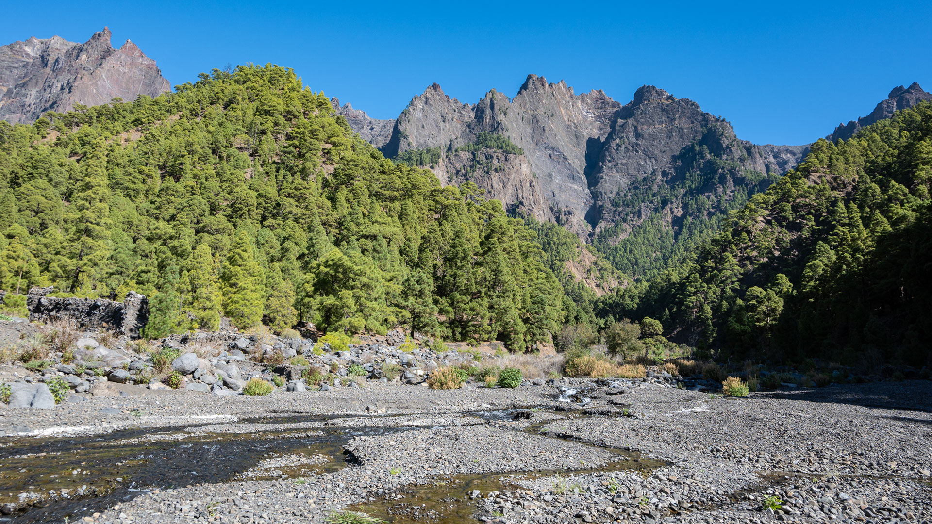
The Caldera de Taburiente was declared a National Park in 1954, making it one of Spain’s oldest. The protected area covers 4,682 hectares and preserves extensive stands of Canarian pine, spectacular rock landscapes, and numerous endemic plant species. Special visitor regulations protect the sensitive ecosystem. The parking area at La Cumbrecita requires advance online reservation. A strict fire ban applies in the National Park, and overnight stays are only permitted at the official campsite Playa de Taburiente.
Conclusion:
The Caldera de Taburiente is a natural phenomenon without equal — formed through the interplay of volcano, water, and time. Those who have experienced it from the inside understand what sets La Palma apart from all other islands.
Frequently Asked Questions
Is the Caldera de Taburiente a volcanic crater?
How large is the Caldera de Taburiente?
When was the caldera declared a National Park?
Why is there so much water in the caldera?
What is the most famous hike in the caldera?
This article is based on the on-the-ground knowledge of the Gequo editorial team – publishers of the Reisezeit hiking guides and operators of Sunhikes.com. Last updated: May 2026