The Cumbre Vieja: La Palma’s Youngest and Most Active Volcanic Ridge
The Cumbre Vieja — literally the “old ridge” — is actually the youngest part of La Palma. While the northern part of the island, with the Caldera de Taburiente, is several million years old, many of the Cumbre Vieja’s volcanic cones formed only in the past few centuries. Along the elongated mountain ridge lie numerous cinder cones, eight of which have erupted in historic times — most recently Tajogaite in 2021. This makes the Cumbre Vieja La Palma’s most active volcanic region and one of the most active volcanic landscapes in the Canary Islands, its high plateau offering views all the way to the summit ridge of the Caldera de Taburiente.
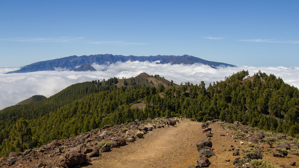
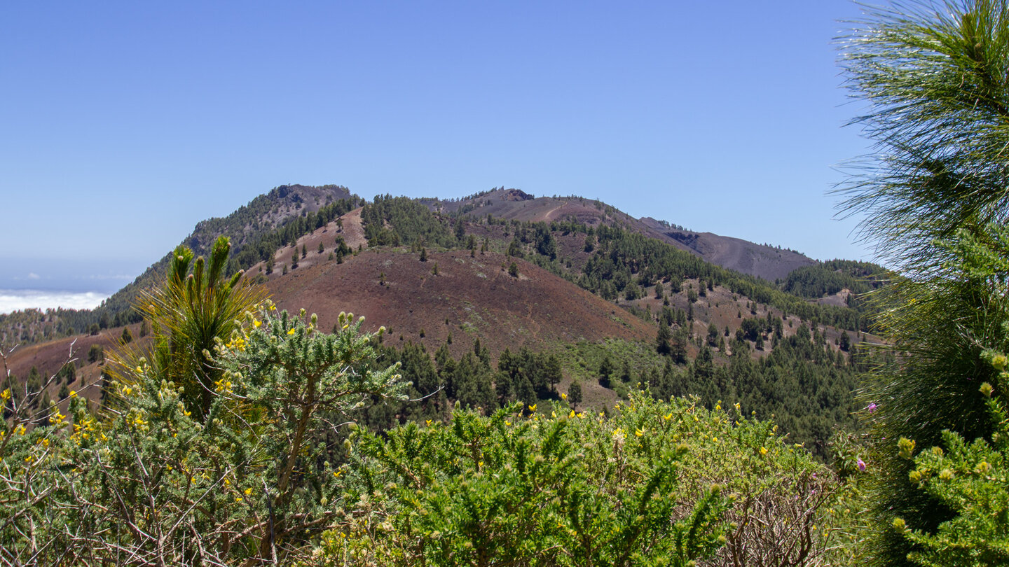
The Cumbre Vieja stretches for around 14 kilometers from the Cumbre Nueva to the southern tip of La Palma, and its volcanic cones shape the entire south of the island. It extends across five municipalities and has been protected as a nature park (Parque Natural de la Cumbre Vieja) since 1994. Its highest point is the Volcán Deseada (1,949 m). Along the ridge, pine forests, cinder cones, and lava fields define the landscape. Depending on the age of the eruptions, the volcanic surfaces are either already overgrown again or still appear almost entirely bare of vegetation today.
The Historic Eruptions
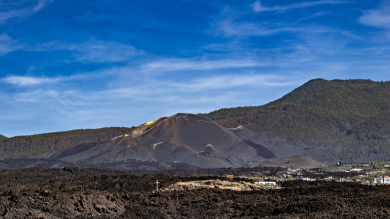
Since Spanish settlement, eight eruptions have occurred on the Cumbre Vieja: 1470, 1585, 1646, 1677, 1712, 1949, 1971 (Teneguía), and 2021 (Tajogaite). Each of these eruptions has reshaped the south and west coast of La Palma. The Teneguía eruption of 1971 claimed one life due to toxic volcanic gases at the crater rim, but thanks to timely evacuations it was otherwise comparatively mild, and it also created new land at the island’s southern tip. The 2021 eruption of Tajogaite, by contrast, was the longest and most consequential in the island’s recent history: 85 days of activity, more than 1,200 hectares of land covered by lava, and over 3,000 buildings destroyed — its scars still visible today from Montaña Barquita over the southern peaks of the Cumbre Vieja.
Ruta de los Volcanes: The Ridge Trail
The Ruta de los Volcanes is one of the most impressive hikes in the Canary Islands. The trail follows the GR-131 along the entire ridge of the Cumbre Vieja from north to south, passing all the major volcanic cones. Along the way, hikers encounter cinder craters, lava fields, pine forests, and views as far as Tenerife, La Gomera, and El Hierro. At over 20 kilometers with significant elevation changes, the route is a full-day undertaking for experienced hikers.
The starting point is often the Refugio El Pilar at 1,400 meters (accessible via El Paso or Villa de Mazo). From there, the GR-131 leads south to Fuencaliente. Anyone planning the hike should check the current trail conditions, as parts of the southern section were altered by Tajogaite.
La Palma’s Volcanic Soul
The Cumbre Vieja is La Palma’s volcanic soul — alive, ever-changing, and full of contrasts. Anyone who hikes the young lava fields and mighty volcanic cones of the Ruta de los Volcanes firsthand experiences one of the most striking and dynamic landscapes in the entire Canary Islands.
Frequently Asked Questions
What is the difference between Cumbre Vieja and Cumbre Nueva?
Can you hike the Ruta de los Volcanes?
Is the Cumbre Vieja still active?
Why is the Cumbre Vieja called the “old ridge” if it's geologically young?
When is the best time to hike the Cumbre Vieja?
This article is based on the on-the-ground knowledge of the Gequo editorial team – publishers of the Reisezeit hiking guides and operators of Sunhikes.com. Last updated: May 2026