Geography of La Palma: One Island, Two Climate Worlds, One Summit
La Palma, officially San Miguel de La Palma, is the northwesternmost of the seven Canary Islands. It lies in the Atlantic Ocean, roughly 417 kilometers off the Moroccan coast and about 86 kilometers west of Tenerife. With an area of 708 square kilometers, it is the fifth largest of the seven main Canary Islands. What looks comparatively small on the map is deceptive: thanks to its enormous elevation differences, La Palma ranks among the most extraordinary volcanic islands on Earth.
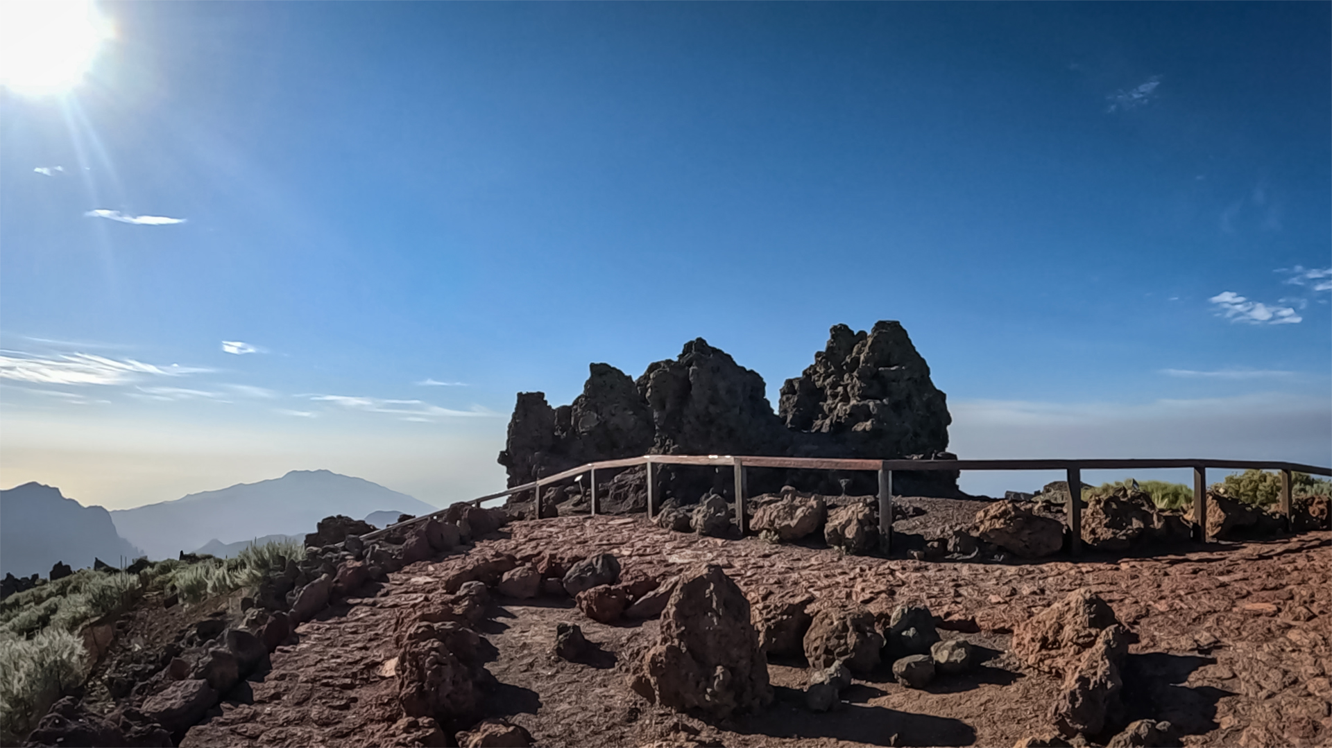
The highest point is Roque de los Muchachos (2,426 m), which rises only around 8 kilometers as the crow flies from the ocean. This extreme steepness makes La Palma one of the steepest volcanic islands in the world. The island rises over 6,000 metres in total from the ocean floor to its summit. Hardly any other volcanic island achieves such great elevation differences over such a short distance. This extraordinary relief shapes landscape, climate, and vegetation in equal measure.
Shape and Topography
La Palma has a wedge-shaped silhouette that narrows toward the south. The island measures roughly 45 kilometers from north to south and a maximum of 28 kilometers from east to west. A continuous mountain ridge — composed of the northern rim zone of the Caldera de Taburiente, the central Cumbre Nueva, and the southern Cumbre Vieja — divides the island almost exactly into an eastern and a western half. This mountain chain forms La Palma’s geological backbone and is also the cause of the island’s pronounced climatic division.
The Island’s Microclimates
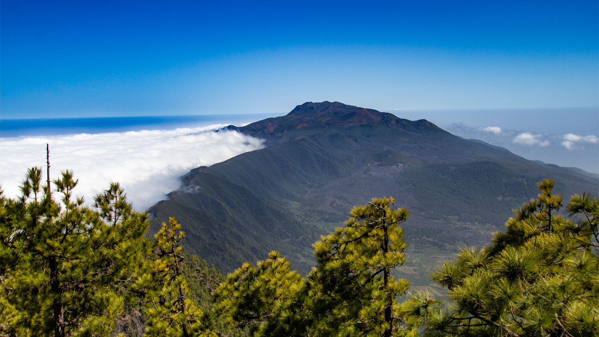
The mountain ridge acts as a natural barrier for the moist north-east trade winds. On the eastern slopes, clouds build up and create a humid, green landscape. While Puerto Naos and Tazacorte on the west coast are among the sunniest spots in the Canaries, Santa Cruz and Los Cancajos in the east receive significantly more rainfall. On the western side, the air descends again, warms up and the clouds dissolve. As a result, the west tends to be considerably drier and sunnier. This pronounced microclimate is one of La Palma’s defining characteristics. This isn’t just a seasonal pattern—it’s a fundamental feature of the island’s geography.
Population & Infrastructure
La Palma belongs to the Spanish autonomous region of the Canary Islands and to the Province of Santa Cruz de Tenerife. The island is divided into 14 municipalities; the most populous is Los Llanos de Aridane, while the capital is Santa Cruz de La Palma. Approximately 82,000 people live on La Palma. La Palma Airport (SPC) is located on the east coast, 10 minutes from Santa Cruz.
Conclusion: La Palma’s Geography
On paper, La Palma is small — but vertically, it is one of the most impressive islands in the world. Study the map, then visit the island, and you’ll understand the moment you first lay eyes on Roque de los Muchachos.
Frequently Asked Questions
How large is La Palma?
How far is La Palma from Tenerife?
What are La Palma's coordinates?
This article is based on the on-the-ground knowledge of the Gequo editorial team – publishers of the Reisezeit hiking guides and operators of Sunhikes.com. Last updated: May 2026