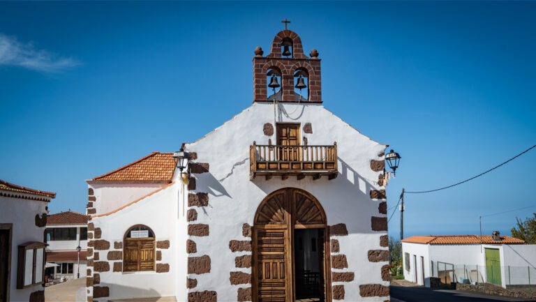
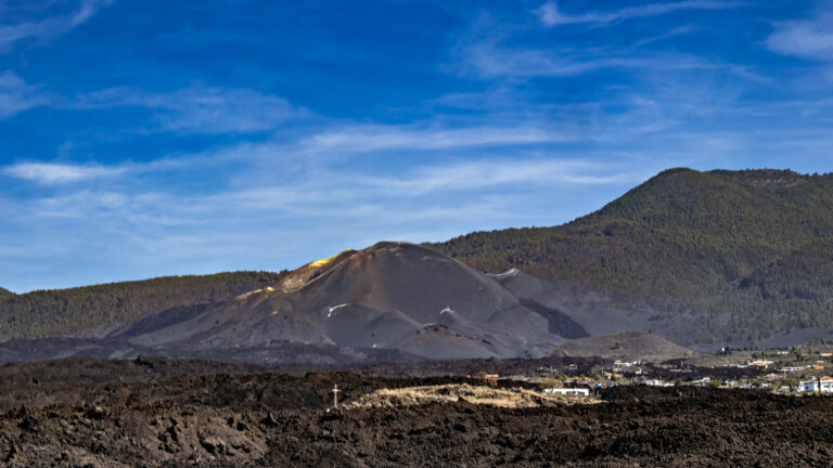
El Tablado: The Village at the End of the Road
You turn off the road between Puntagorda and Barlovento and wind your way downhill, deeper and deeper into the northwest, until the road ends and a village begins that looks as though time forgot all about it. El Tablado perches on a narrow ridge in the municipality of Garafía — spectacularly set between two of La Palma’s most formidable ravines.
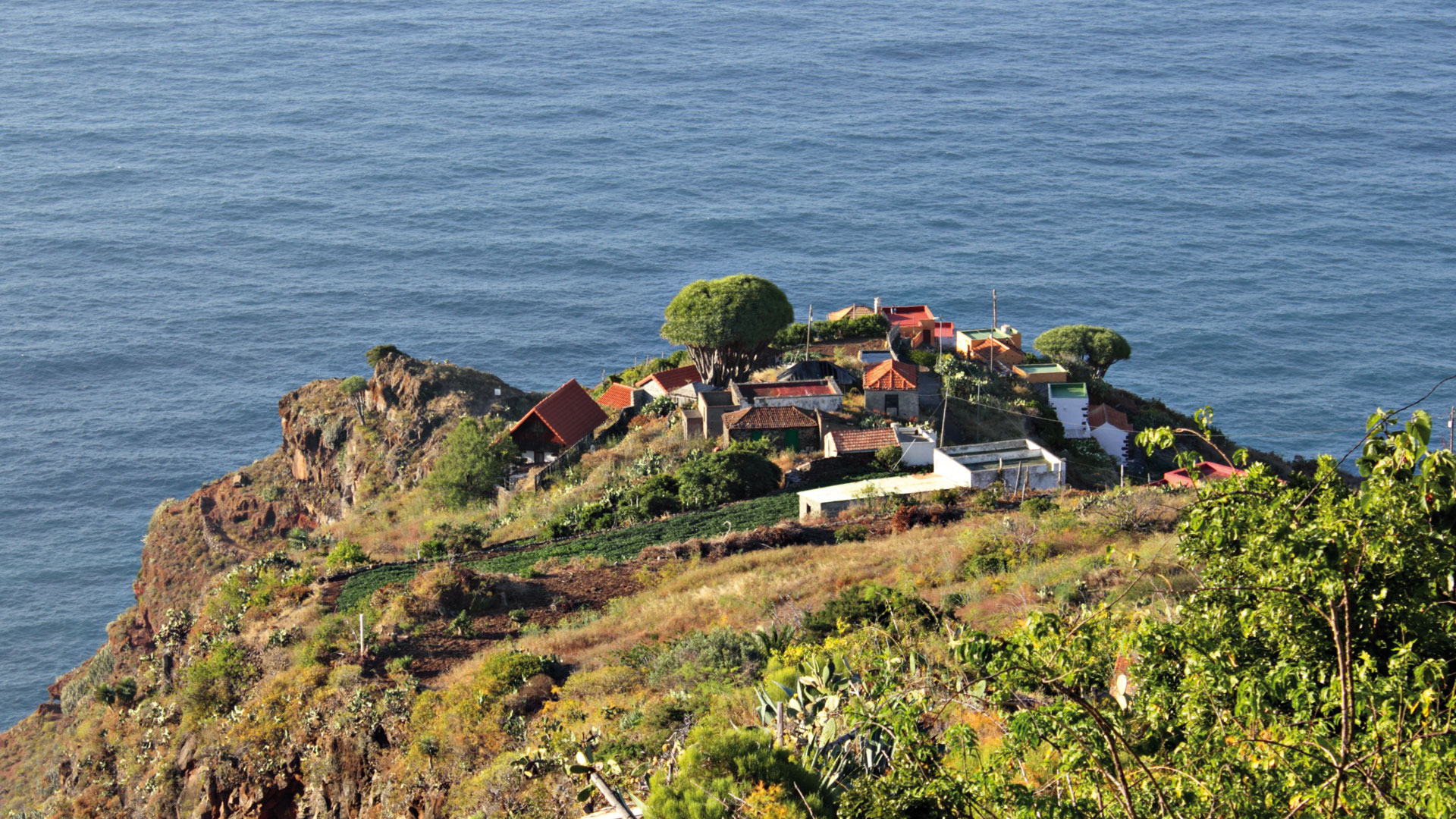
To the west, the terrain drops steeply into the Barranco Fagundo, while to the east the equally impressive Barranco de los Hombres marks the ridge’s boundary. Canarian cottages are scattered seemingly at random along the narrow crest, with dragon trees, prickly pears, and orange trees growing between them, while old terraced fields tell of life as it once was. El Tablado once had more inhabitants. Most have gone. Those who remained are the ones who didn’t want to leave — and a few who came back.
The Village: Nearly Abandoned, Nearly Forgotten, Nearly Perfect
Today El Tablado has no reliable place to eat. Those visiting this remote hamlet or undertaking one of the demanding hikes should therefore bring enough water and provisions. Restaurants and bars can only be found again along the LP-1, for example in La Mata or Llano Negro.
A colourfully painted sign points the way to the Mirador Barranco Fagundo. Once you reach the viewpoint, you immediately understand why this tremendous ravine is considered one of La Palma’s most impressive landscapes.
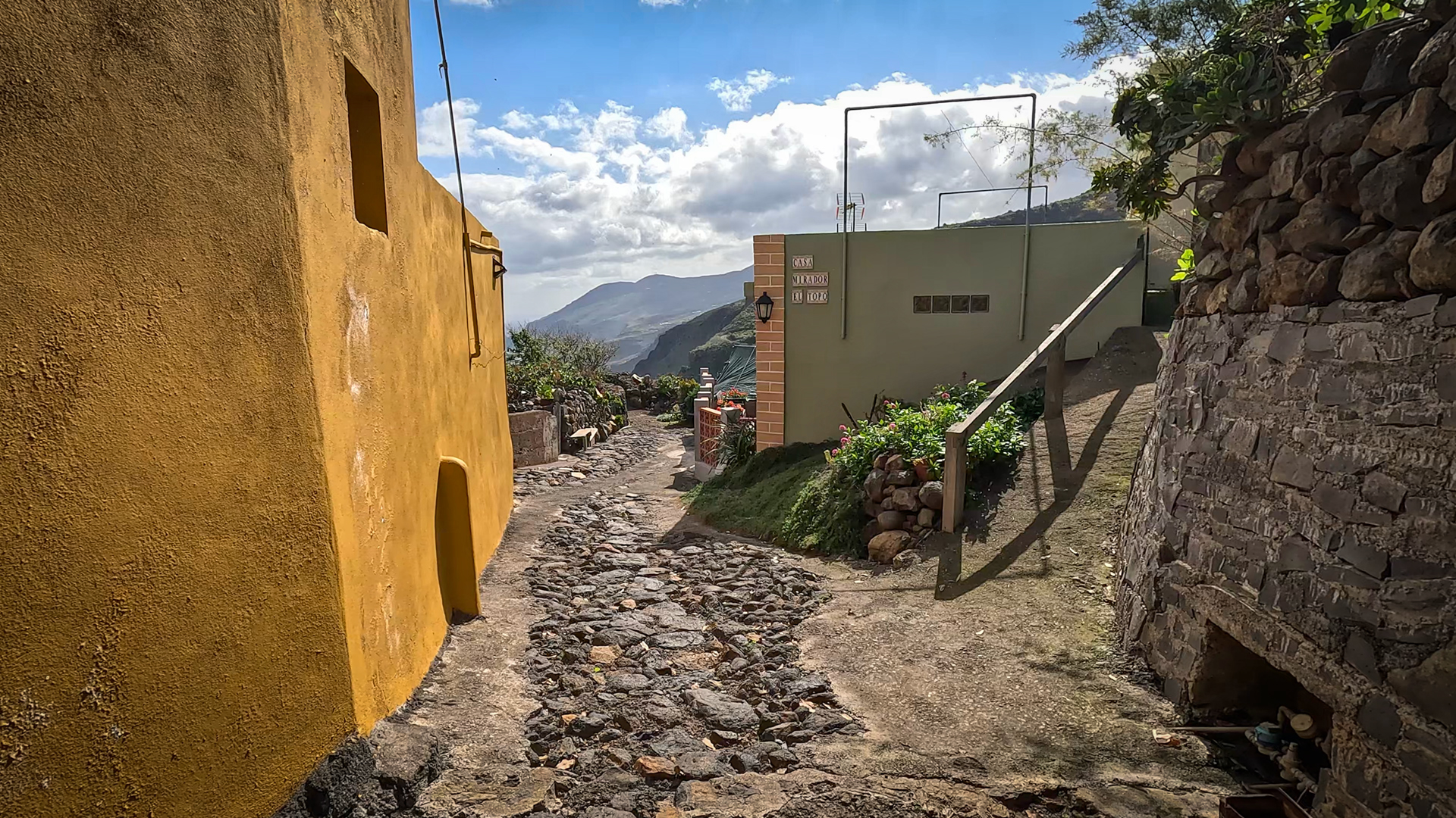
Equally impressive is the Mirador el Topo at the eastern edge of the village. From the small viewing platform, you look deep into the Barranco de los Hombres and across the rugged north coast of La Palma. Together, both viewpoints showcase El Tablado’s extraordinary position between two of the island’s most spectacular ravines.
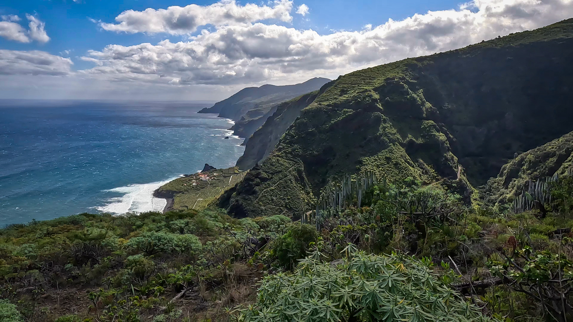
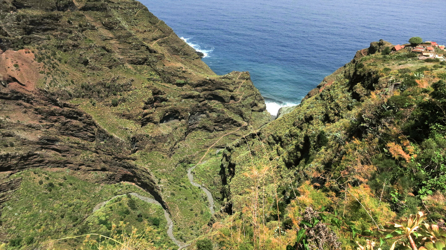
Barranco Fagundo
At the bottom of the Barranco Fagundo, impressive rock layers lie exposed, revealed by erosion over thousands of years. A steep path winds down in numerous switchbacks. Massive cliff faces, remnants of the laurel forest, flowering bugloss, and numerous bird species define the landscape. The barranco belongs to the Reserva Natural Especial de Guelguén, while the hamlet of El Tablado itself lies within the Paisaje Protegido de El Tablado. The demanding trails through the ravine should never be underestimated.
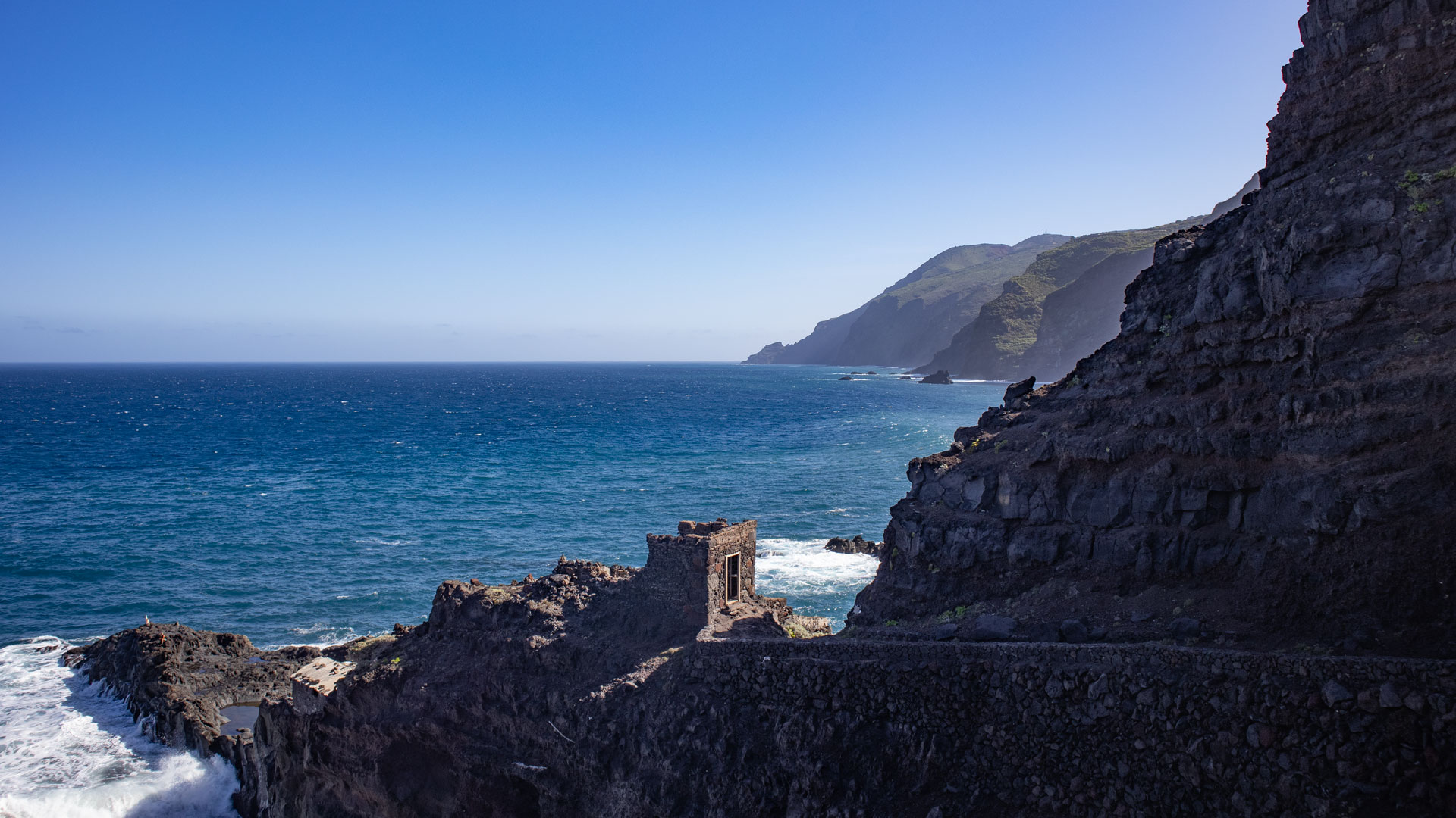
El Tablado and La Fajana
A steep historic path leads from El Tablado down to the coast, where you reach La Fajana de Garafía — a remote former coastal settlement beneath towering sea cliffs, now almost completely abandoned. Allow about 1.5 hours for the round trip.
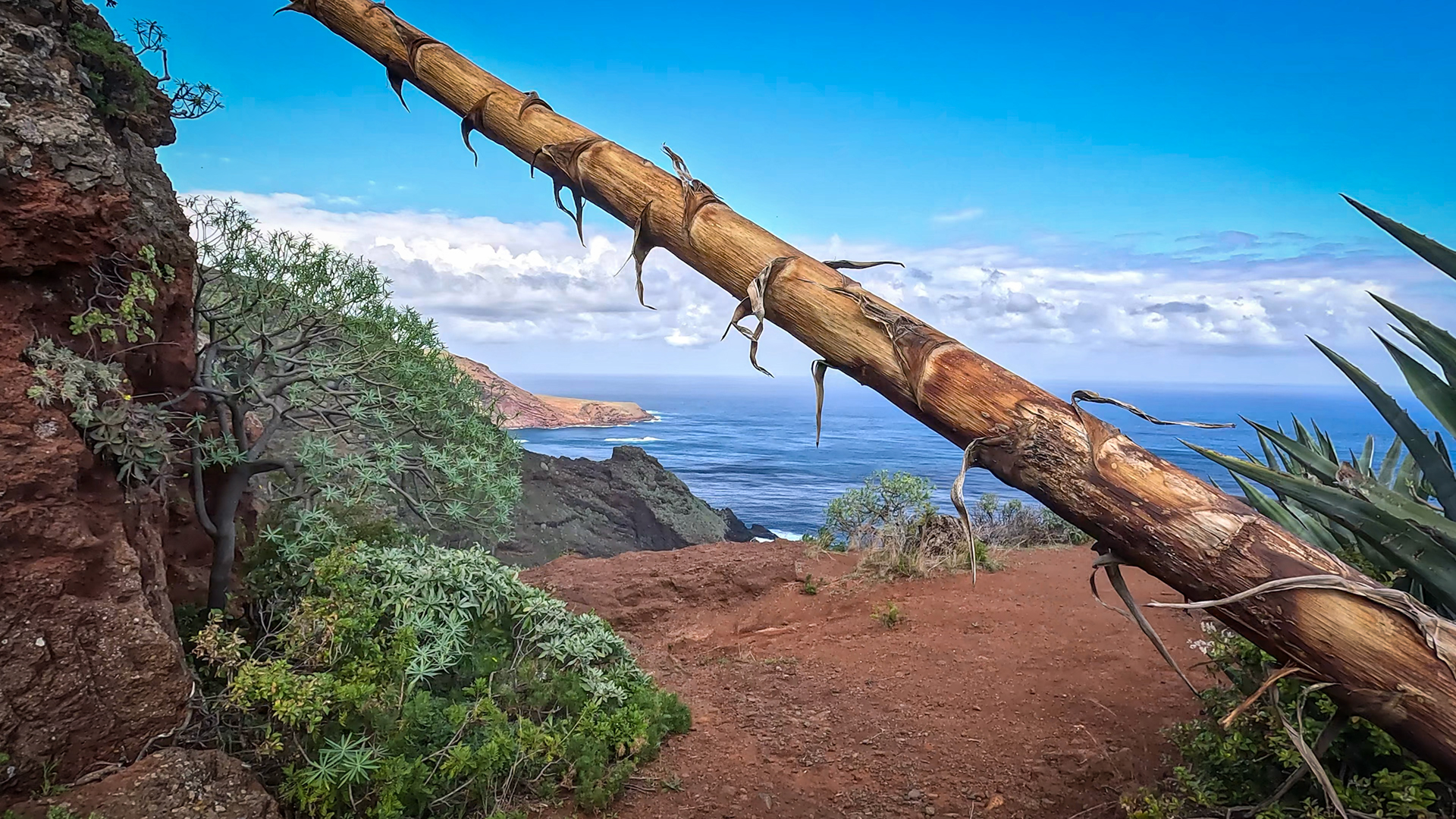
Hiking from El Tablado
El Tablado is the starting point for two demanding sections of the GR-130: to Santo Domingo de Garafía (13.2 km, 1,084 m ascent, 1,090 m descent, difficult, 5–6 hours) and to Gallegos (9.4 km, 897 m ascent, 933 m descent, approx. 4–5 hours, difficult). Both routes run through the deeply cut ravines of the north and rank among the island’s most demanding hikes.
A third route connects El Tablado via La Fajana de Garafía with Franceses (964 m ascent / 963 m descent, difficult). Over 11.8 kilometres, the route crosses the spectacular Barranco de los Hombres and Barranco de Franceses, with long steep descents immediately followed by gruelling climbs. Excellent fitness, sure-footedness, and a steady posture for steep descents are essential for this tour.
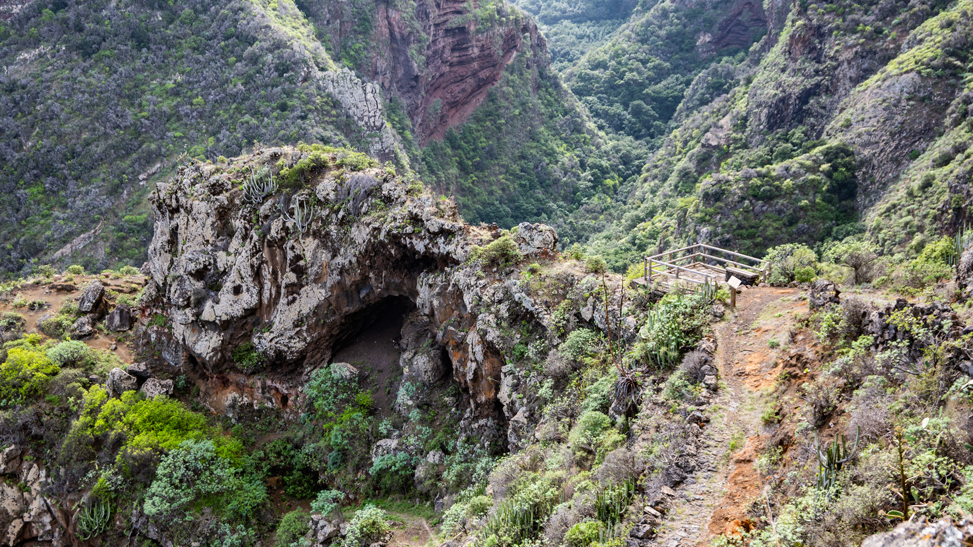
Along the way you pass the Mirador Cueva del Canga, one of the finest viewpoints along the historic Camino Real and GR-130. From here, a spectacular view opens onto the towering walls of the Barranco de los Hombres and down to the remote Fajana de Franceses in the nature reserve Guelguén.
The historic Camino Real also connects El Tablado with Juan Adalid, passing through the secluded interior of the island.
Note for Hikers
The trails are beautiful and remote — but not for beginners. As there is no longer a reliable place to eat in the village, carry all your food and water with you. For all hikes: good footwear, enough water, sure-footedness, and mountain experience are prerequisites. The trails run through remote ravines with long, steep ascents and descents and rank among La Palma’s most demanding walks. Those who tread carefully and allow plenty of time are rewarded with extraordinary landscapes.
One more tip: Trade wind clouds frequently create fog in northern La Palma, especially in the afternoon. Those wanting to enjoy the sweeping views of the Atlantic and the deep ravines should plan their visit for the morning hours if possible.
Getting There and Parking
The roads within the hamlet are very narrow, steep, and offer few turning points. It is recommended to park your hire car at the upper village entrance and explore El Tablado on foot from there.
Conclusion
El Tablado is at once La Palma’s most remote and most beautiful village. Those who truly want to get to know the island — beyond the beaches and viewpoints — come here.
Frequently Asked Questions
How do you get to El Tablado?
What is there to see in El Tablado?
How difficult are the hikes from El Tablado?
Is there a restaurant in El Tablado?
When is the best time to visit?
This article is based on the on-the-ground knowledge of the Gequo editorial team – publishers of the Reisezeit hiking guides and operators of Sunhikes.com. Last updated: May 2026