
Circular hike Pico Bejenado from Pista de Valencia
Pico Bejenado (1,854 m) is a striking peak on the southern edge of the Caldera de Taburiente National Park – a free-standing cone with a spectacular 360° panorama over the caldera, the Aridane Valley and the neighboring islands. The circular hike from the Pista de Valencia leads over the PR-LP 13.3: 12.3 km, 860 m, 4:00–5:00 hours.
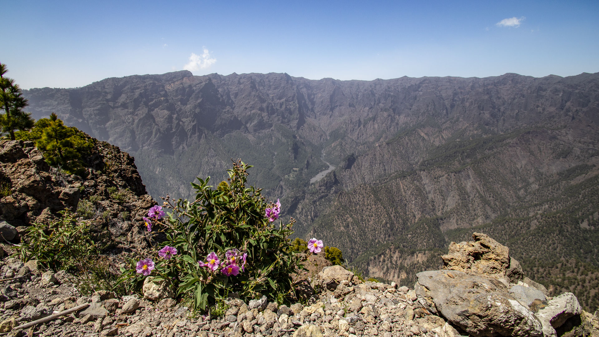
The starting point is the car park at the Pista de Valencia, signposted with a hiking board. The path leads uphill through sparse pine forest, past an interesting volcanic tube right on the side of the path. The way back goes over the Roque de los Cuervos (1,603 m) – a panoramic mountain with a view of the Cumbrecita, the Roques de la Cumbrecita and the Riachuelo Valley.
Route facts at a glance
| Route type | Circular hike |
|---|---|
| Distance | 12.3 km |
| Elevation | 860 m ascent / 853 m descent |
| Highest point | 1,833 m (peak Pico Bejenado: 1,854 m) |
| Lowest point | 1,145 m (Pista de Valencia) |
| Duration | 4:00 – 5:00 hours |
| Difficulty | moderate to difficult (860 m, ridge, sure-footed) |
| Starting point | Pista de Valencia car park – From LP-302 El Paso towards Cumbrecita, turn left towards Valencia |
| Trail marking | PR-LP 13.3 (yellow and white) |
| Protection status | Caldera de Taburiente National Park (since 1954) |
| Equipment | Water, sturdy footwear, windproof jacket, sunscreen |
Directions
From El Paso, at the visitor centre of La Palma National Park, follow the LP-302 for about 1 km towards Cumbrecita. At the intersection turn left towards Valencia. Follow the tarmac road uphill to the track. Shortly after the start of the second asphalted section: the car park next to a hiking board.
The route in detail
Pista de Valencia to El Rodeo (km 0-5)
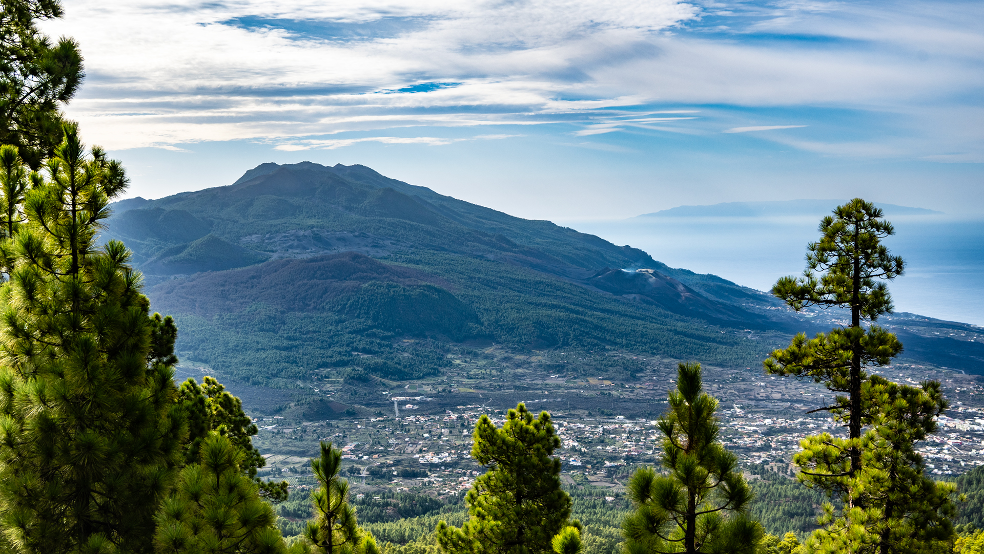
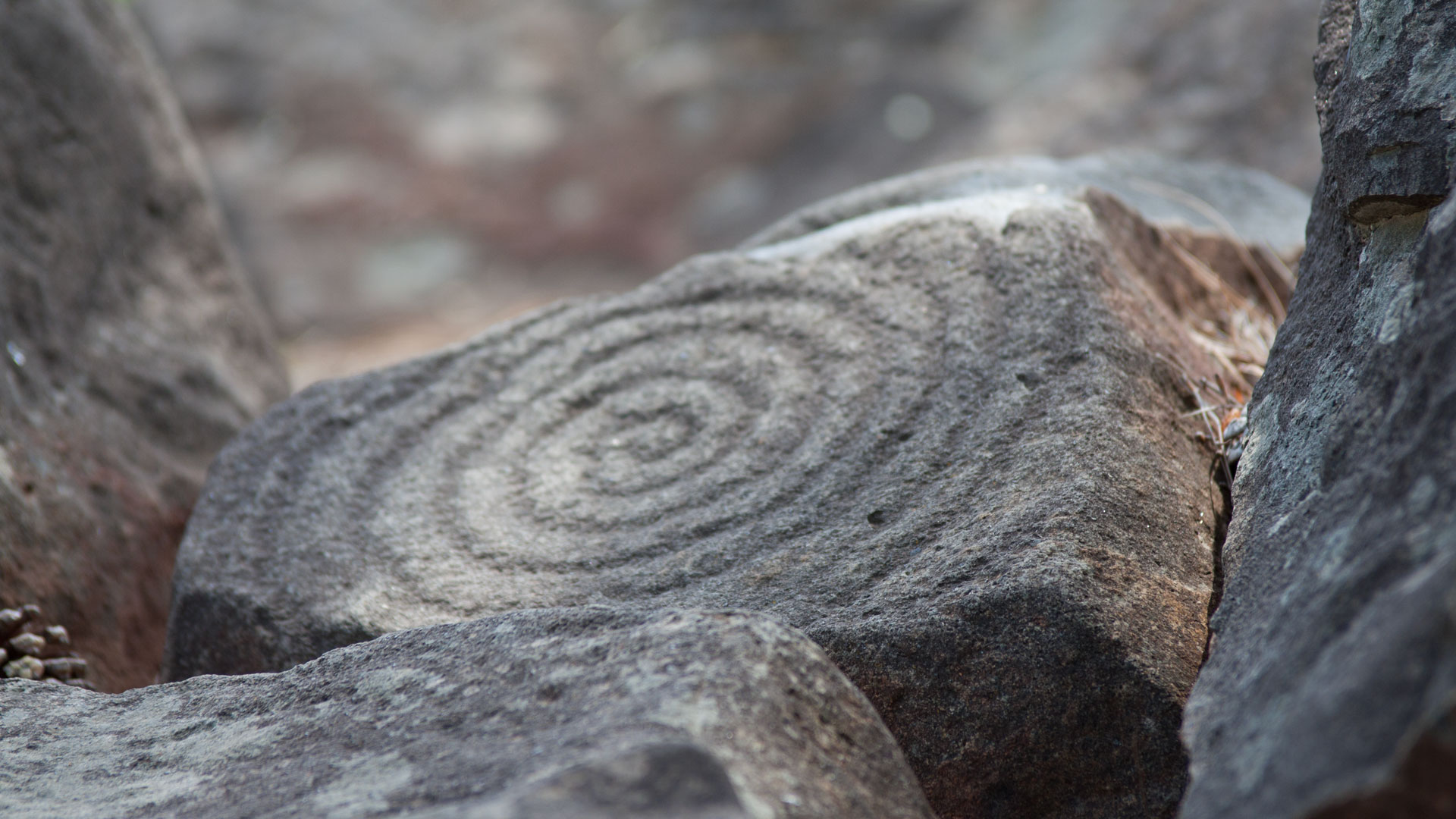
Follow a wide forest track uphill. At an intersection you pass a national park sign and follow the Pista Ferrer further left. The PR-LP 13.3 (yellow-white) joins the route from the left. En route: a fascinating lava tube right beside the path – a lava channel that was formed when the rock cooled. At a fork in the road: turn right to the petroglyph site Lomo del Estrecho (approx. 120 m – a short detour is worth it). Continue uphill to the left.
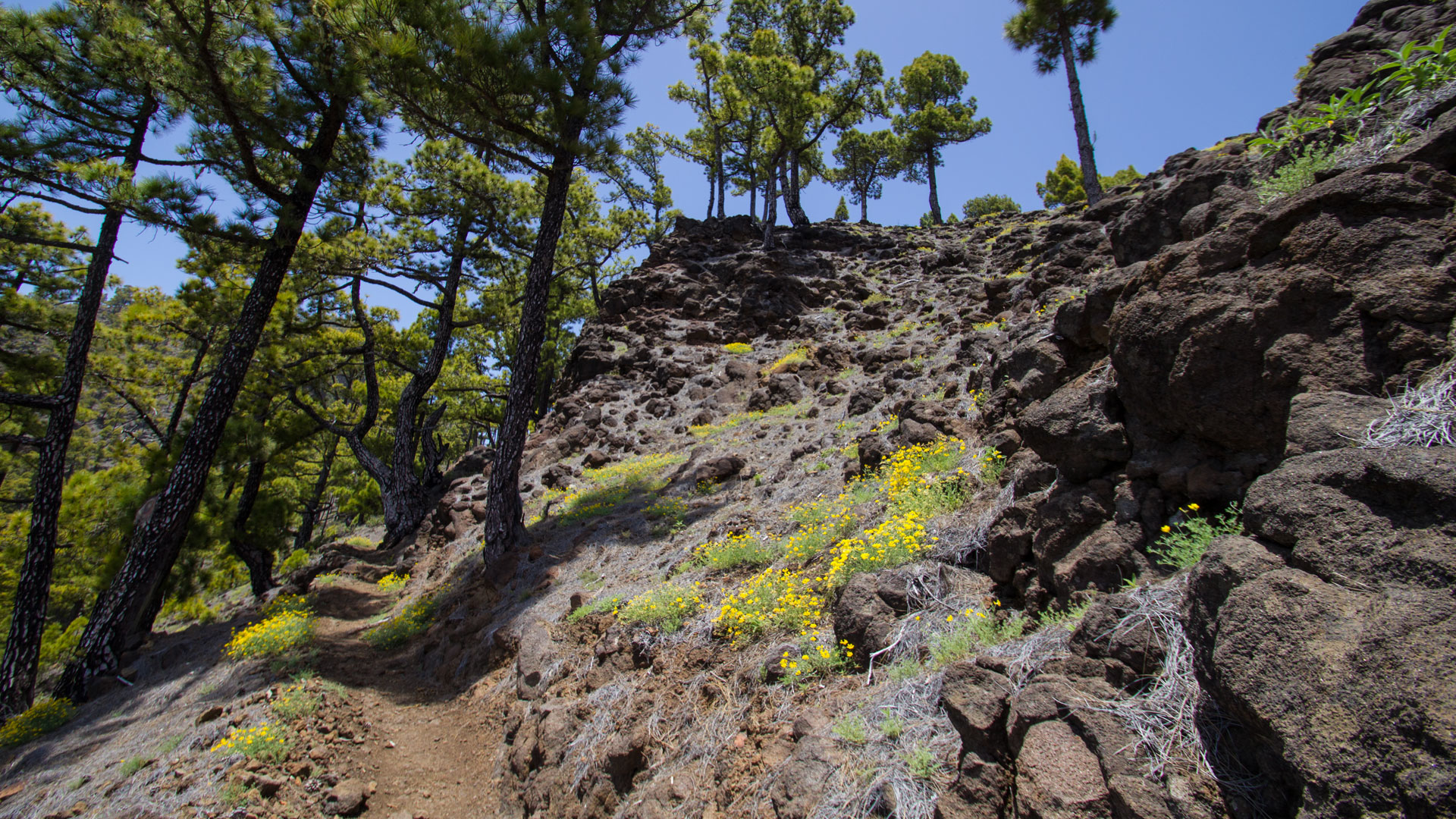
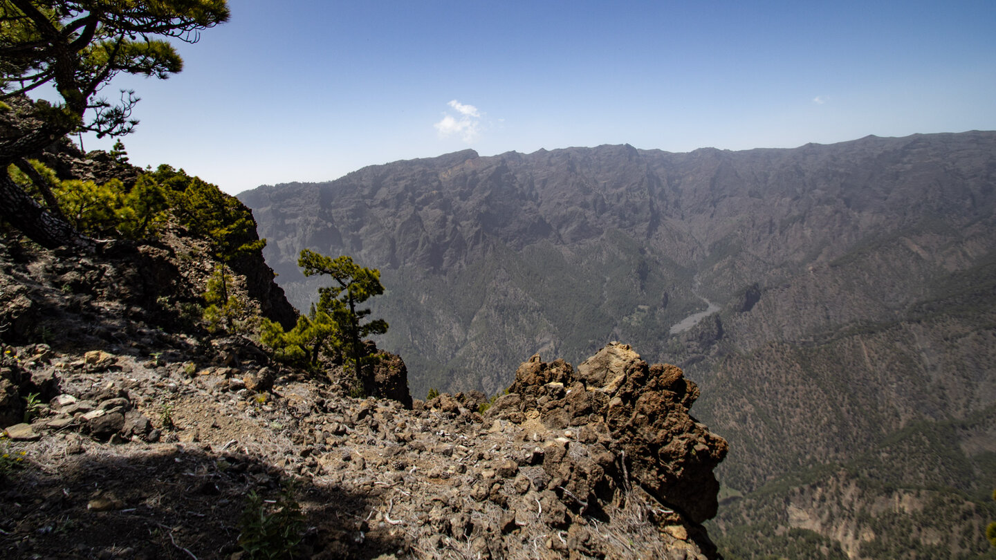
A winding path leads up to the Pico Bejenado to the left. From the southern ridge of the caldera at 1,585 m high El Rodeo: a fantastic view of the Caldera de Taburiente. The Barranco de las Angustias, the semicircular caldera ridge and the Cumbrecita become visible.
Summit climb Pico Bejenado (km 5–7)
At the crossroads turn left, then up in serpentines: another 269 m to the summit of Pico Bejenado. The free-standing 1,854 m high peak offers a breathtaking panorama: the majestic, semi-circular ridge of the Caldera with the Roque de los Muchachos, the Playa de Taburiente and the Barranco de las Angustias gorge. The cumbrecita is visible. If conditions are good: El Hierro, La Gomera and Tenerife.
Return via Roque de los Cuervos (km 7–12.3)
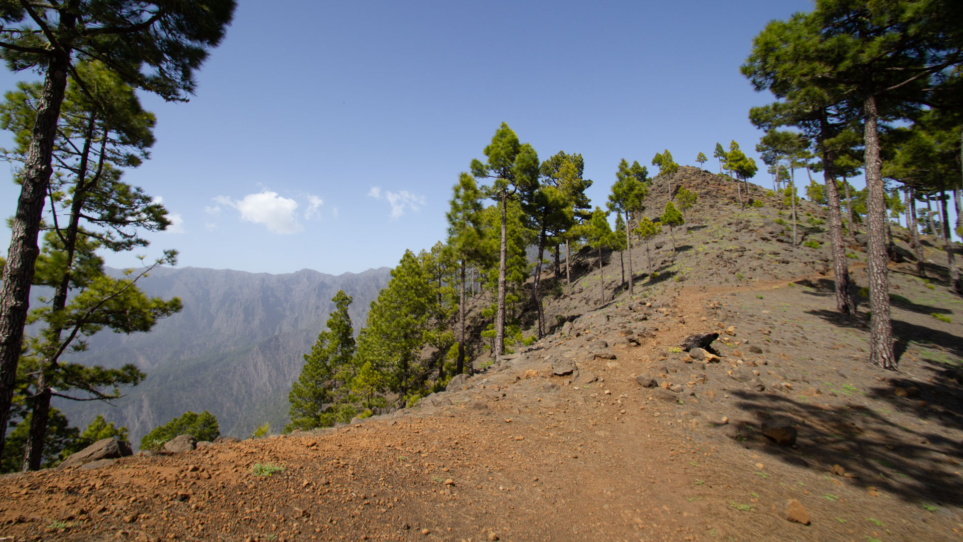
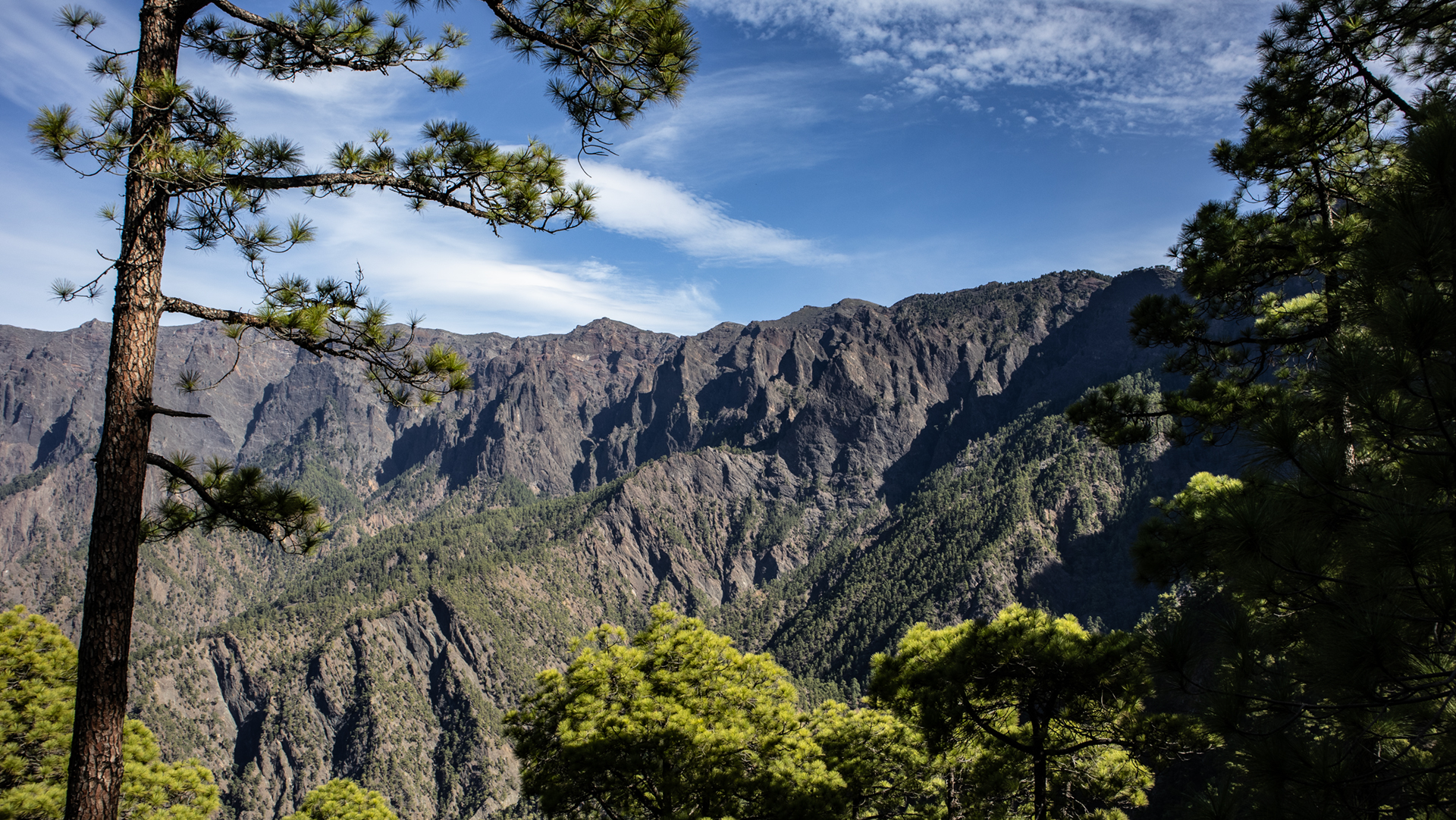
The return route follows the mountain ridge towards Roque de los Cuervos (1,603 m). This panoramic mountain offers a wonderful view of the Cumbrecita, the rock formations of the Roques de la Cumbrecita and the opposite peaks of the Punta de los Roques. On the right you can see the Riachuelo Valley. At the end of the mountain ridge turn off, then approx. 100 m to Roque de los Cuervos. Return route: the trail rejoins the Pista Ferrer, leading back to Pista de Valencia.
Pico Bejenado: the southern guardian of the caldera
The Pico Bejenado is the southernmost peak on the edge of the Caldera de Taburiente National Park and the only one that is not part of the ridge ring: it stands free, separated from the rest of the caldera rim by the Barranco de las Angustias gorge. This isolation makes it visually striking — in photos of the caldera, the Bejenado is always the single, cone-shaped peak that stands out from the ring ridge.
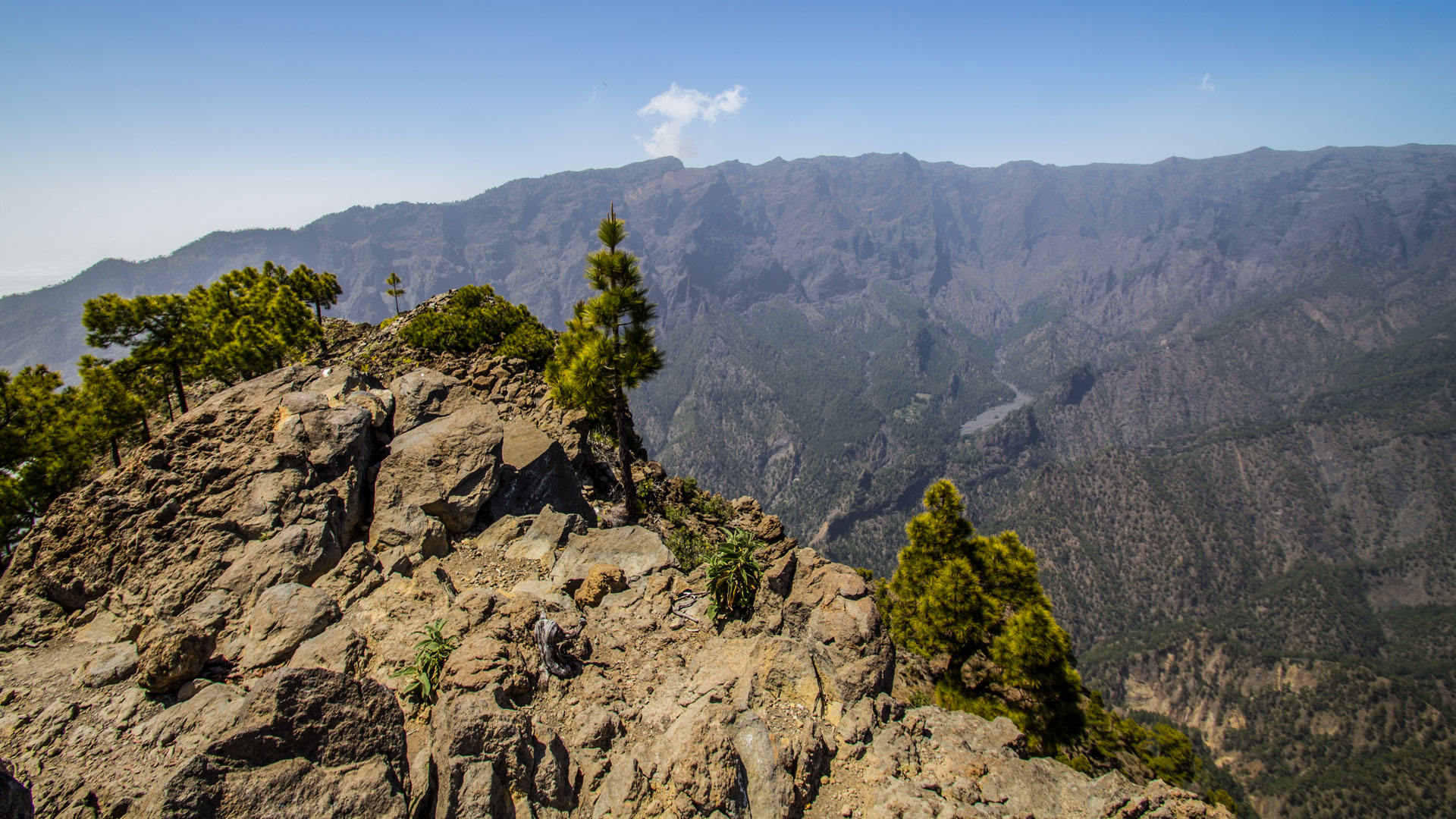
The summit of Pico Bejenado offers no shelter — the freestanding peak is fully exposed to the elements. Lizards populate the summit area and are tame; they are occasionally fed by hikers. Feeding wild animals is prohibited in the national park – a notice is attached to the summit sign.
The lava tube along the path
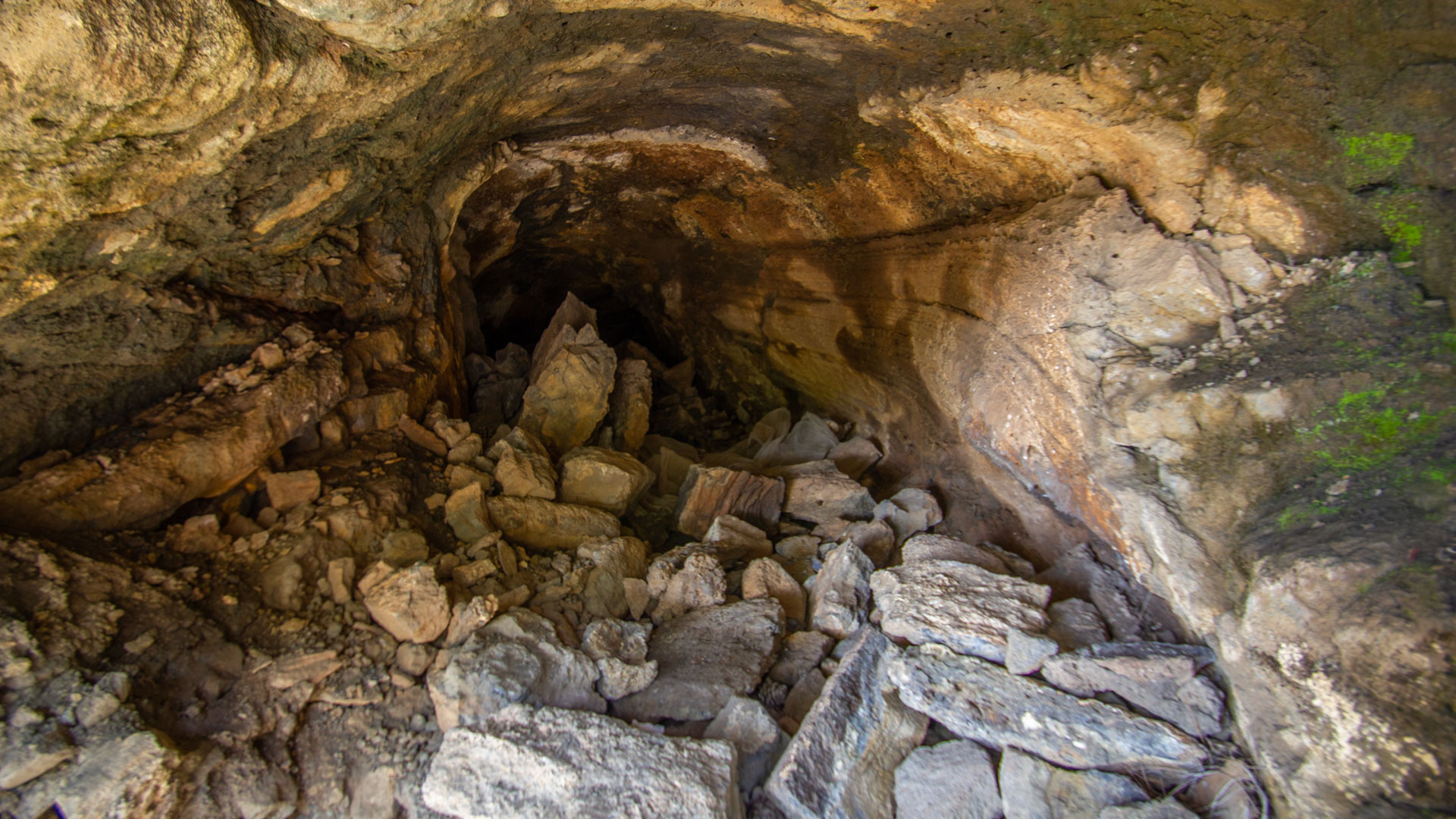
The volcanic tube directly on the PR-LP 13.3 hiking trail is an extraordinary geological object. Lava tubes form when the surface of a lava flow cools and solidifies, while the hot lava beneath continues to flow and eventually drains — leaving an empty tunnel. This tube can be seen on the surface: an opening reveals the hollow chamber inside. In the context of the Caldera de Taburiente National Park, which is characterized by volcanic geology, it serves as a vivid lesson in the island’s geological history.
Best time to visit
| Season | Character | Note |
|---|---|---|
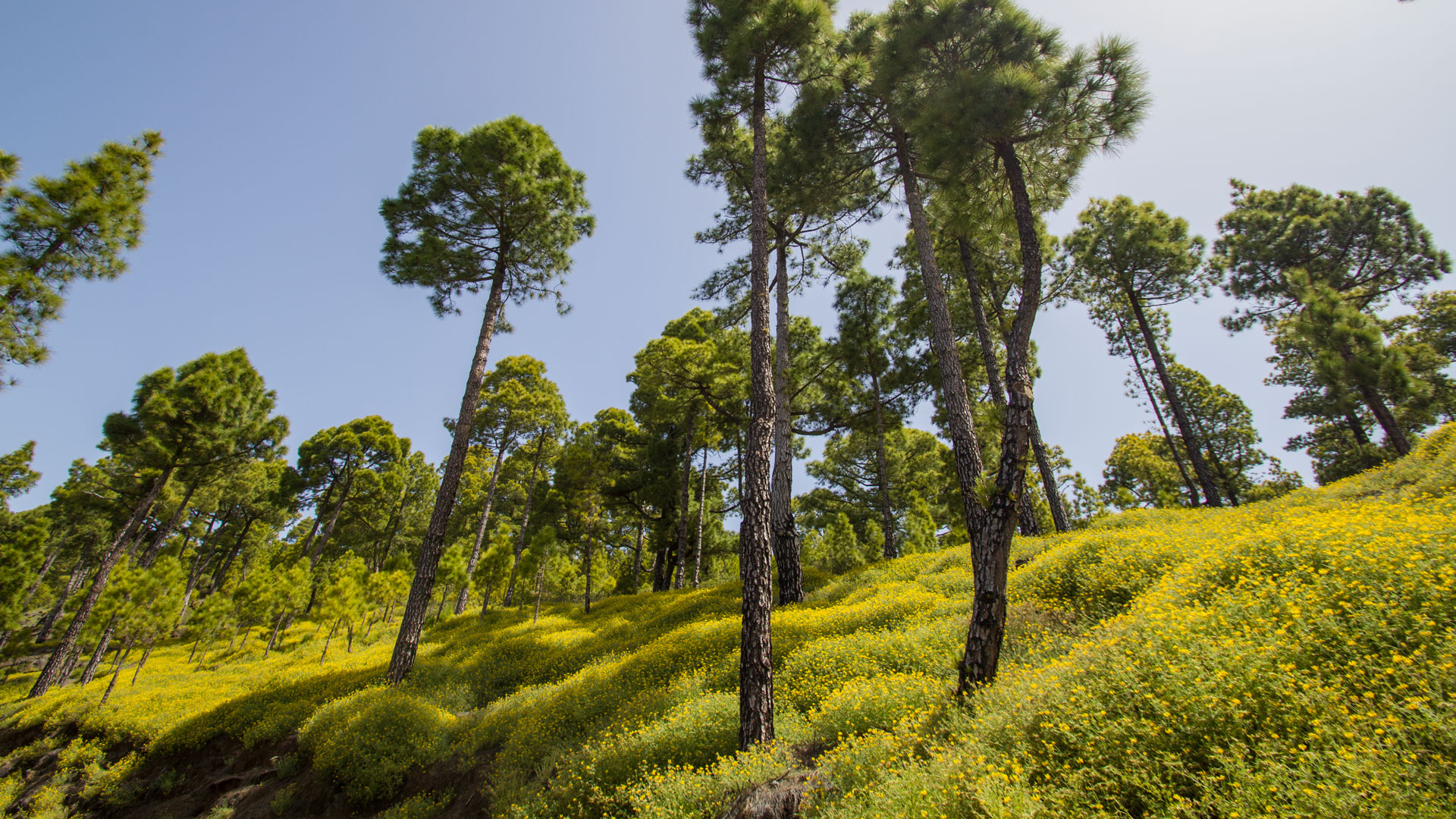
| Spring (March-May) | Rockrose and bird’s-foot trefoil in bloom; crystal-clear long-distance views | Botanically best time |
| Summer (June–Aug) | Pine forest provides shade; Summit gets hot | Early start recommended |
| Autumn (Sept-Nov) | Best panoramic light | Most popular season |
| Winter (Dec-Feb) | Summit can be cold and windy; windproof layer required | Otherwise walkable |
Accommodation: El Paso — Clariso
Starting point Pista de Valencia is near El Paso. Holiday homes in El Paso on clariso.eu — Holiday homes El Paso. Ideal base for national park tours.
Combinable tours
| Tour | Data | Character |
|---|---|---|
| Pico Bejenado from Pista de Valencia (long path + petroglyphs) | 18.9 km, difficult | Extended variant with Tamarahoya petroglyphs |
| Circular hike La Cumbrecita | 3 km, easy | Easy addition the following day |
| Los Brecitos → Playa de Taburiente | 5.2 km, moderate | Other national park route on the same day |
GPS track and 3D route planner
GPS track helpful for the turnoff at El Rodeo and the Roque de los Cuervos return route. With the free 3D route planner you can extend the route individually – directly in the browser, without an app.
To the route page on Sunhikes: Circular hike Pico Bejenado from Pista de Valencia
3D route planner from Sunhikes – customize and combine routes
Practical Tips
Emergency call 112. The peak is isolated and exposed – bring wind protection. Do not feed lizards (national park regulations). Petroglyph detour (Lomo del Estrecho, 120 m) right on the way – a short detour is worthwhile.
Note: National Park
In the Caldera de Taburiente National Park (since 1954). Road restrictions, garbage collection, fire ban, no feeding of wildlife.
Frequently asked questions
What is the Roque de los Cuervos?
El Rodeo: the first large caldera panorama
The 1,585 m high El Rodeo on the climb to Pico Bejenado is the first point on this hike where the Caldera de Taburiente opens completely. You had previously climbed through pine forest and suddenly – standing on the edge of the caldera ridge – you look down into the basin. The Barranco de las Angustias cuts through at the bottom, the steep walls rise on both sides, the Roque de los Muchachos rises to the north.
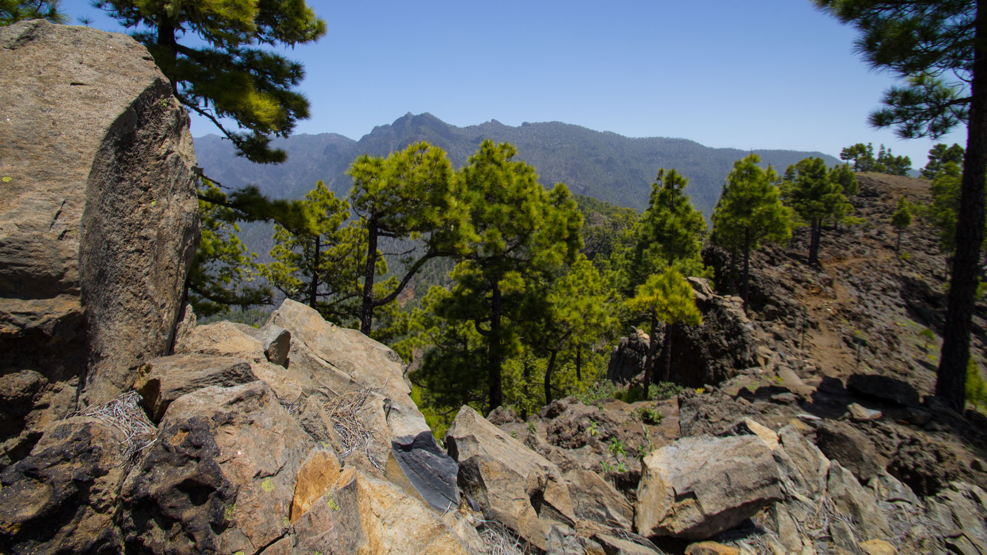
For many hikers, this moment at El Rodeo is the strongest of the entire tour – more intense than the summit itself because it comes unprepared. You climb up, look at the next bend in the path and suddenly the caldera is there. No buildup, no warning: just the edge of the ridge and 700 m depth behind it.
Pico Bejenado summit: detached and exposed
The fact that Pico Bejenado stands in isolation – separated from the rest of the caldera ridge by the Barranco de las Angustias – means that from the summit there are clear views in all directions: to the Caldera (north), to the Aridane Valley (west), to El Hierro (southwest), to La Gomera (south), to Tenerife (east). This is a 360° panorama that does not exist on other caldera peaks. Peaks like Pico de la Nieve and Roque de los Muchachos offer views in only one main direction.
Roque de los Cuervos: the panoramic mountain on the way back
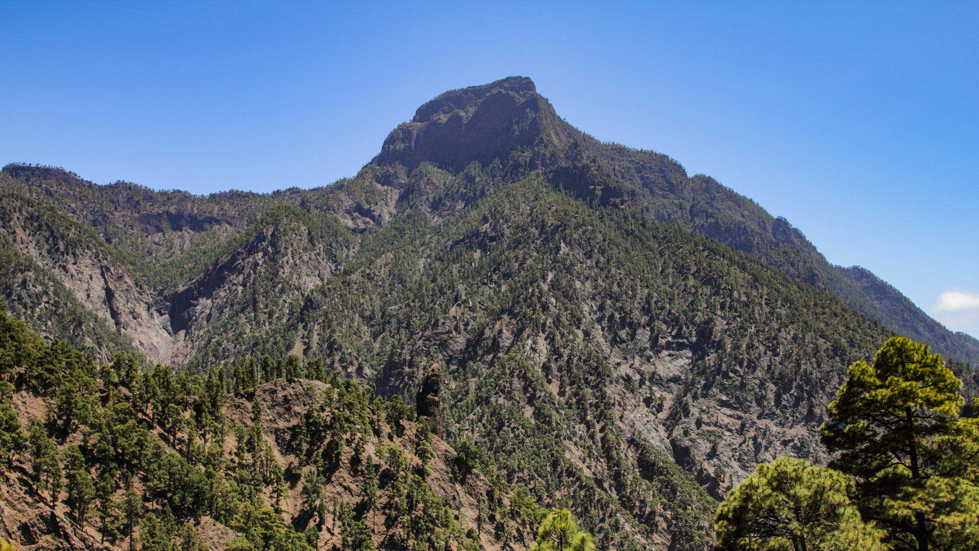
The Roque de los Cuervos (1,603 m) on the way back of the loop offers a different perspective than the summit: from here you can see the Cumbrecita from above, the Roques de la Cumbrecita as a row of rock needles and the Riachuelo Valley on the east side. The Riachuelo Valley is the new element on this way back — you can now see the eastern side of the Bejenado massif, which was hidden on the climb. The double perspective — Caldera on the way up, Riachuelo Valley on the way down — is one reason why the round is more worthwhile than a pure out-and-back climb.
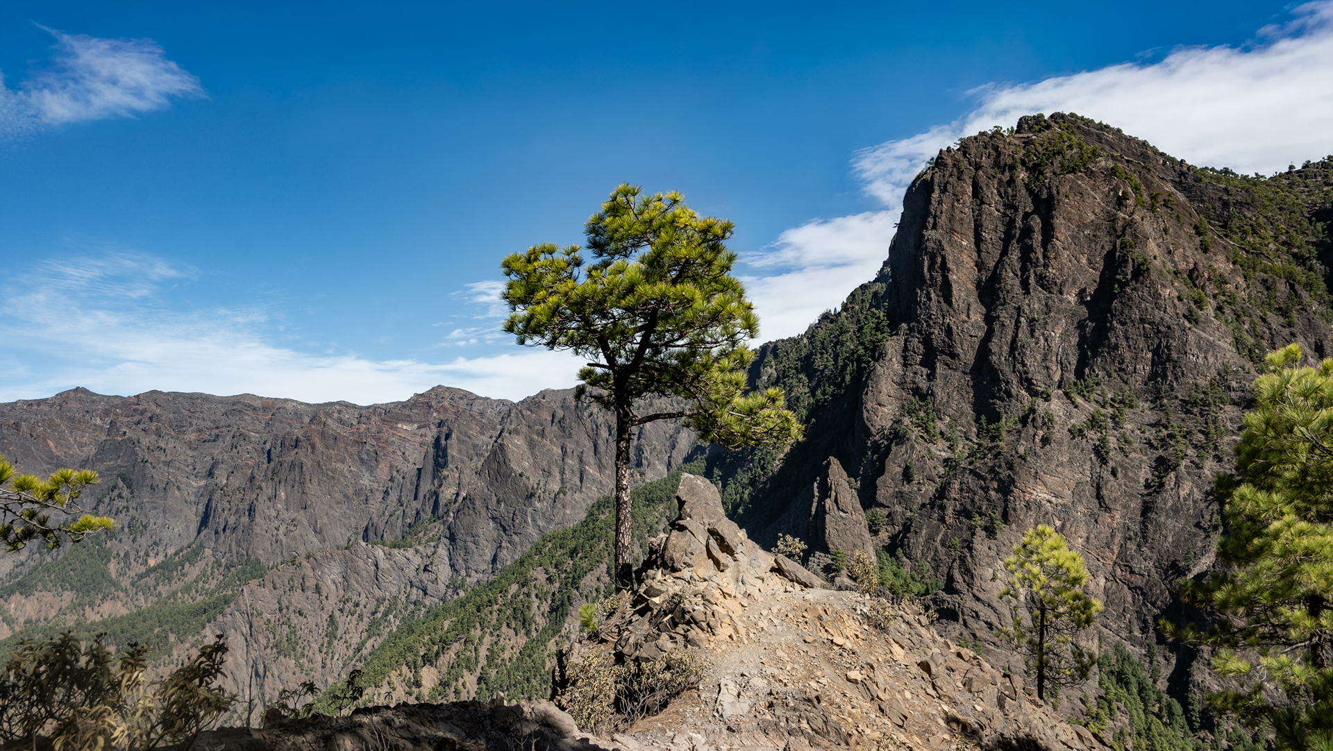
Anyone who stands on the Roque de los Cuervos and looks at the Roques de la Cumbrecita – at the row of rock needles that makes the La Cumbrecita walk so memorable – understands La Palma’s topography from a different side: From above, the needles appear small; from below (on the Cumbrecita round), monumental. This is the relativity of mountains.
For optimal planning for the day: Parking at the Pista de Valencia is limited to just 5-8 vehicles. Arrive early (before 8:00 a.m.) to secure a parking space. The return route via the Roque de los Cuervos takes approx. 30 minutes longer than the direct out-and-back route – but is preferred by all hikers who know both variants, as the ridge route offers more variety and new panoramas. The Pista Ferrer on the last 2 km of the way back is a wide, pleasant forest path – a welcome respite after the steep sections of the ridge.
The petroglyph detour Lomo del Estrecho
On the climb from Pico Bejenado is the petroglyph site Lomo del Estrecho – a short detour (approx. 200 m) directly on the hiking trail. The Benahorita petroglyphs are fenced off but visible. The geometric patterns on the rocks show that the indigenous people also used the high areas of the caldera rim – far beyond the coastal zones. This site turns the Bejenado ascent into a rewarding mix of nature and culture.
This article is based on the on-the-ground knowledge of the Gequo editorial team – publishers of the Reisezeit hiking guides and operators of Sunhikes.com. Last updated: May 2026


