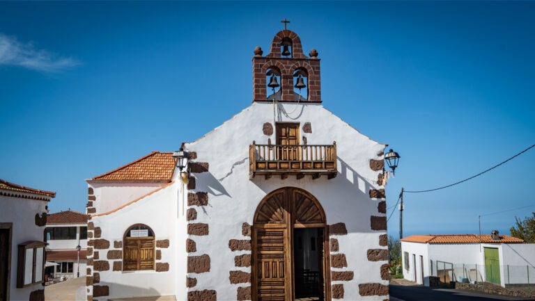
Cumbre Vieja Nature Reserve: La Palma’s Living Volcanic Ridge
The Parque Natural de Cumbre Vieja covers nearly 75 square kilometres in the south of La Palma. It spans five municipalities and protects one of the geologically most active and scenically impressive areas in the Canary Islands. Volcanic cones, vast scoria plains, lava fields of different eras, and extensive Canarian pine forests form a landscape that reads like a living textbook of volcanic history.
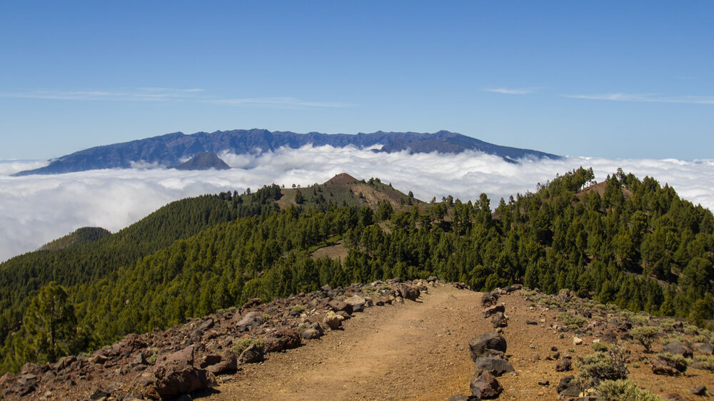
Few places in the Canaries illustrate the formation of a volcanic island as vividly as the Cumbre Vieja. Over thousands of years, numerous eruptions shaped cinder cones, ash fields, and lava flows whose different ages are still clearly visible today.
What Makes the Nature Reserve Special
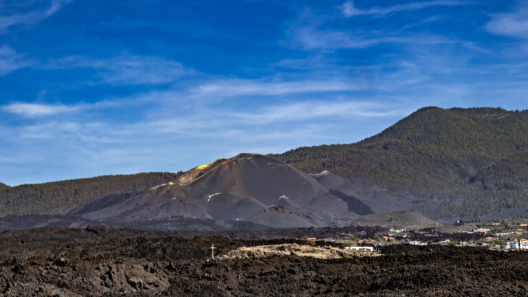
The Cumbre Vieja is not a traditional nature reserve, preserving an unchanged landscape. Rather, it is an active volcanic system. The eruption of the Tajogaite in 2021 permanently altered parts of the protected area. Since then, you can observe how lichens, mosses, and first pioneer plants are slowly reclaiming the cooled lava fields. The nature reserve impressively shows how new life develops step by step after a volcanic eruption.
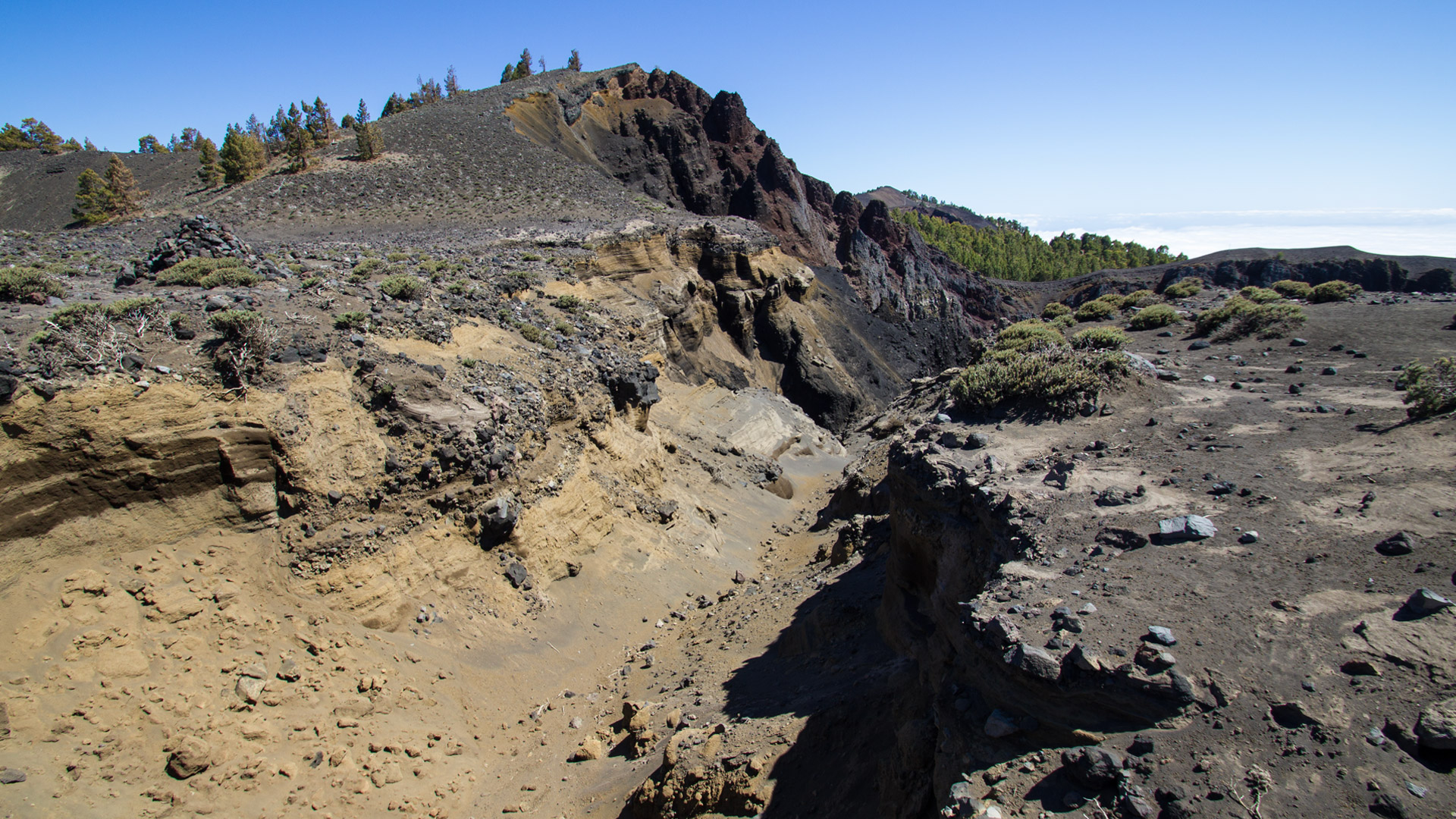
The landscape is almost entirely defined by Canarian pine forests, young lava fields, volcanic ash, and the distinctive craters of historic eruptions. As altitude increases, the pines give way to open volcanic terrain. The Canarian pine is one of the few tree species worldwide capable of surviving even severe wildfires. Thanks to its thick bark and dormant buds, it frequently resprouts after a fire — an extraordinary adaptation to the island’s natural conditions.
Despite the seemingly barren volcanic landscape, the nature reserve provides habitat for numerous specialized animal species. Frequently spotted are the La Palma subspecies of the Canary Islands lizard (Gallotia galloti palmea), the Canary gecko (Tarentola delalandii), and the striking Graja, La Palma’s endemic chough with its red bill. The Canarian chaffinch also inhabits the pine forests, while kestrels regularly circle above the volcanic slopes.
Hiking in the Nature Reserve
The long-distance trail GR-131 (Ruta de los Volcanes) is the best-known hiking trail in the nature reserve. It runs along the entire ridge — from the Refugio El Pilar at around 1,400 metres above sea level down to Fuencaliente — passing by the most significant volcanic cones of the Cumbre Vieja. At over 20 kilometres, the route ranks among the most demanding full-day hikes on La Palma. The Refugio El Pilar is easily accessible via the LP-3 from both El Paso and Villa de Mazo.
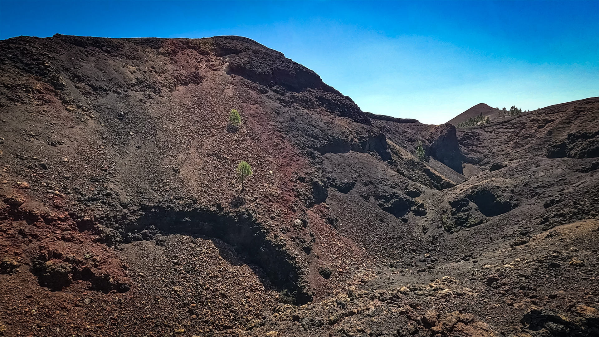
The route runs mostly over exposed ash and lava surfaces with no shade. There are no refreshment stops or water sources along the way. Especially on warm days, adequate sun protection and at least two to three litres of drinking water per person are essential.
Practical Tip:
As this is a point-to-point hike, it is advisable to plan the return journey in advance. Many hikers catch a taxi or local bus from the endpoint in Fuencaliente back to the Refugio El Pilar.
Tajogaite Visitor Information
The area surrounding the Tajogaite volcano is partly restricted to official guided tours, for reasons of safety and nature conservation. Depending on current conditions, individual areas may be temporarily closed. The classic Ruta de los Volcanes (GR-131) is generally not affected by this and can be hiked as normal.
Conclusion
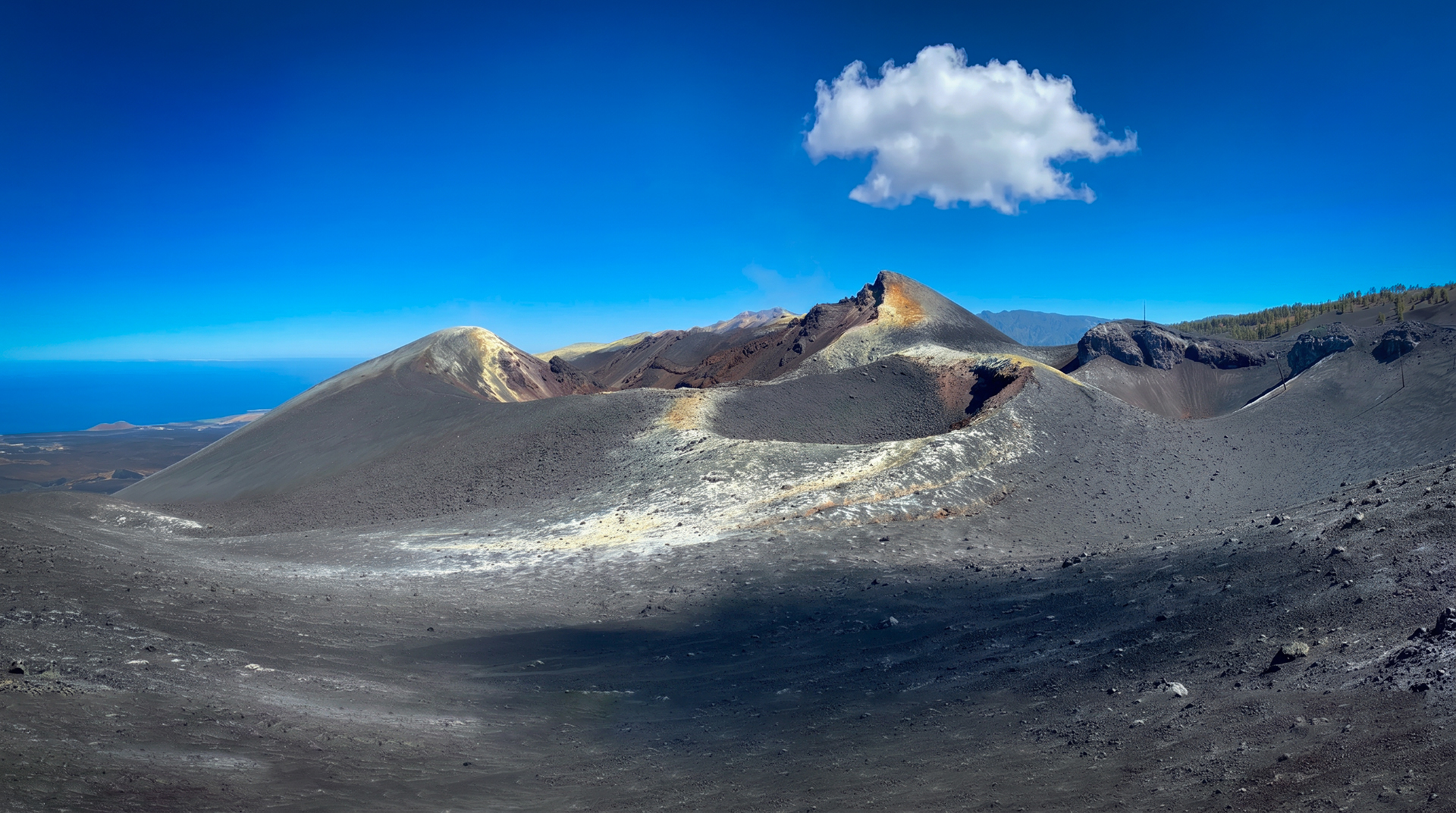
The Cumbre Vieja nature reserve is one of the most fascinating volcanic landscapes in Europe. Here you can witness firsthand how volcanism continues to shape landscapes and give rise to new life. The Ruta de los Volcanes ranks among the most impressive hikes in the Canary Islands.
Frequently Asked Questions
What Is the Difference Between the Cumbre Vieja Nature Reserve and the Caldera de Taburiente National Park?
Can You Stay Overnight or Camp at the Refugio El Pilar?
Why Is the Cumbre Vieja Called the 'Old Ridge' When Its Youngest Volcano Formed Here?
Can You Visit the Tajogaite Freely?
How Challenging Is the Ruta de los Volcanes?
This article is based on the on-the-ground knowledge of the Gequo editorial team – publishers of the Reisezeit hiking guides and operators of Sunhikes.com. Last updated: May 2026