
Circular hike Pico Birigoyo and Pico Nambroque in the Cumbre Vieja Natural Park
The circular hike Pico Birigoyo and Pico Nambroque is one of the most varied tours in the Cumbre Vieja Natural Park: 15.8 km, 733 m, difficult, 4:30–5:30 hours. The route crosses four peaks — Pico Birigoyo, Montaña la Barquita, Montaña Pelada, Montaña de los Charcos — and finally to Pico Nambroque (1,922 m) with three different trail markers: GR-131, SL-LP 125 and PR-LP 16.
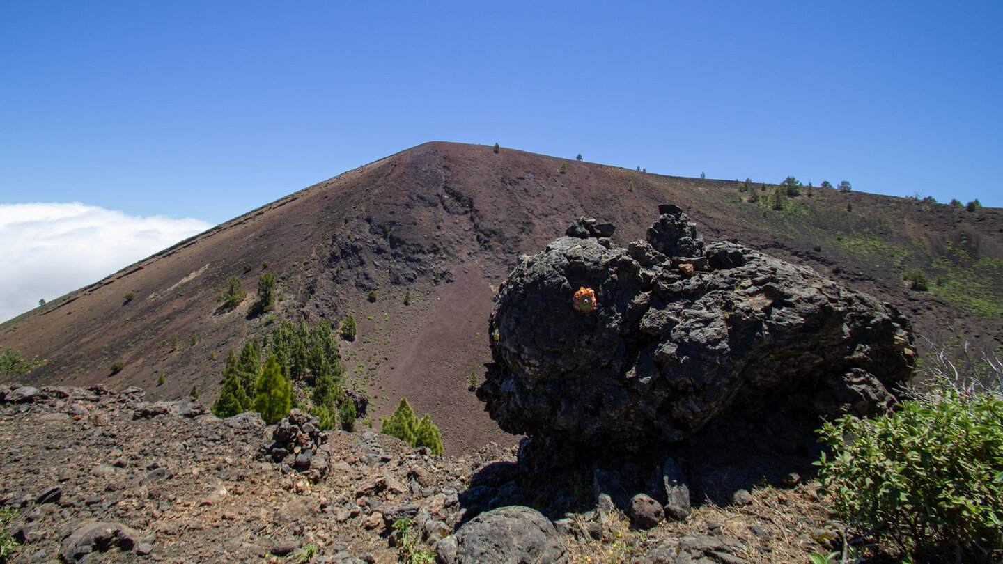
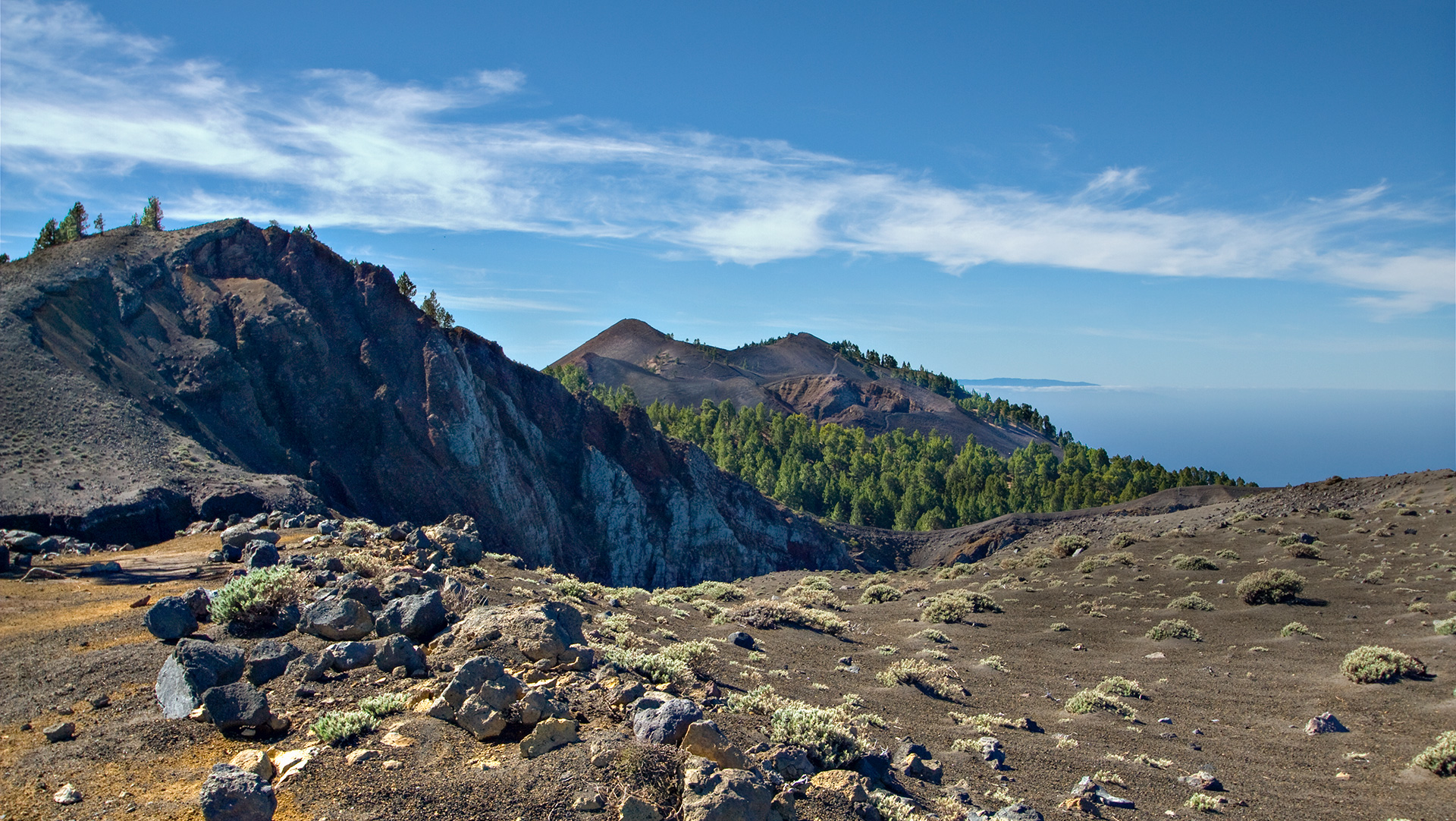
Highlights: The Mirador del Birigoyo with a view of the Caldera peak chain and the Aridane Valley. The Hoyo Negro, a deep erosion crater with rock layers in different shades of brown. From Pico Nambroque: View into a small crater, over the east coast to Tenerife, El Hierro and La Gomera. The way back through a shady pine forest on a forest track.
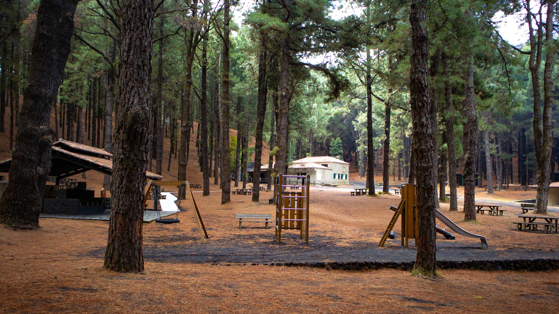
Starting point: Refugio El Pilar barbecue and rest area, with visitor centre of the Cumbre Vieja Natural Park. Accessible via the LP-301 between El Paso and Fuencaliente. No permit required. GPS track is mandatory: three path marker changes and a poorly visible Birigoyo junction (only cairns).
Route details at a glance
| Route type | Circular hike |
|---|---|
| Distance | 15.8 km |
| Elevation | 733 m ascent / 726 m descent |
| Highest point | 1,908 m (Pico Nambroque: 1,922 m) |
| Lowest point | 1,459 m (Refugio El Pilar) |
| Duration | 4:30–5:30 hours |
| Difficulty | challenging (head for heights, sure-footed, good sense of direction, 3 waymarkings) |
| Starting point | Refugio El Pilar, Cumbre Vieja Nature Park, LP-301 |
| Waymarking | GR-131 (red-white) / SL-LP 125 (green-white) / PR-LP 16 (yellow-white) |
| Protected area | Cumbre Vieja Nature Park |
| Equipment | Rations, water, sunscreen, windproof layer, sturdy footwear, waterproofs |
Directions
The Refugio El Pilar is located on the LP-301 in the Cumbre Vieja Natural Park, between El Paso and Fuencaliente. Well signposted. Parking space available. The visitor centre at the rest area provides information about the nature park and current path conditions – take a quick look before the start.
The route in detail
Refugio El Pilar to Pico Birigoyo (km 0–2.5)
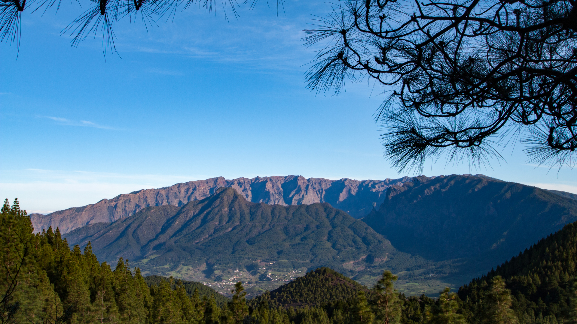
About 50 metres behind the visitor centre, path fork. Follow the GR-131 (red-white). The path skirts Pico Birigoyo on the west side through dense pine forest. Soon: Mirador del Birigoyo — a viewing platform with a view of the peak chain of the Caldera de Taburiente and the Aridane Valley. The pine forest thins out. A lava-gravel flank of the Birigoyo is crossed, then a forest track.
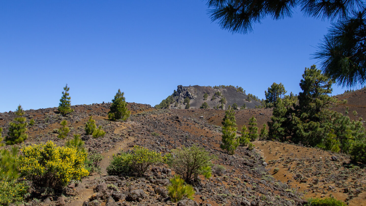
After about 40 minutes: Leave the GR-131, turn left uphill onto a faint trail marked only by cairns to Pico Birigoyo. The path climbs slightly and leads to a small hollow. From there left up to the crater rim. Right along the edge to the survey column at the summit: panoramic view in all directions.
Montaña la Barquita, Montaña Pelada, Montaña de los Charcos (km 2.5–8)
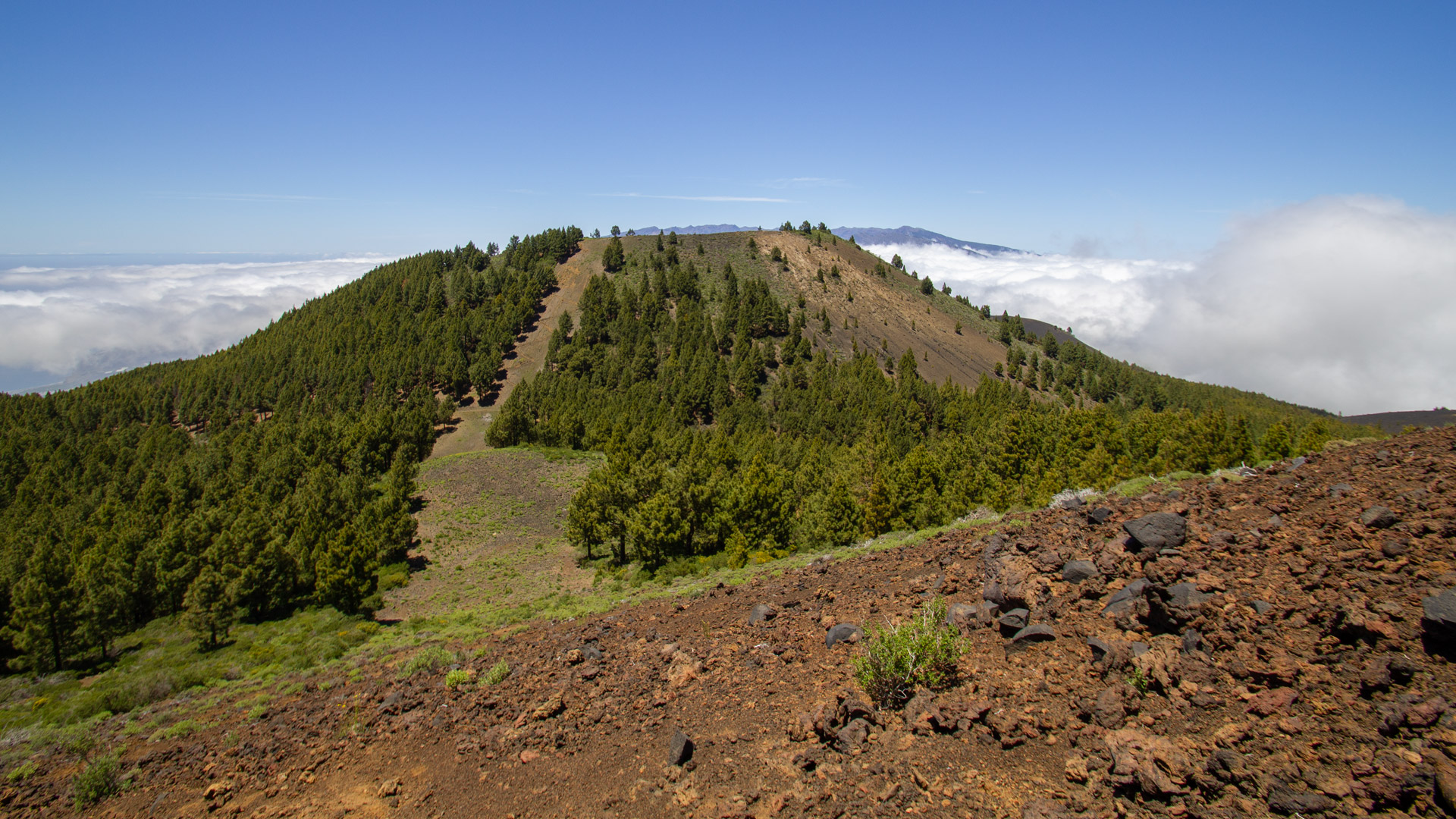
Descent on the same path. Next to a large pile of stones, a path marked with cairns branches off to the left to Montaña la Barquita (1,809 m). Shortly at the edge of the crater, then downhill over a fire break. Zigzag onto a piste, cross it, climb to Montaña Pelada (1,814 m) – also along a firebreak via a series of switchbacks. Then along the mountain ridge to Montaña de los Charcos (1,851 m). Views of the silhouette of Pico Nambroque.
Hoyo Negro and Pico Nambroque (km 8-11)
Summit path leads to the GR-131. Shortly afterwards there is a crossroads. Follow the SL-LP 125 (green-white) towards Nambroque. Upwards over a barren plateau, a short descent: the Hoyo Negro – a deep, erosion-marked volcanic crater with rock layers in different shades of brown. View of the highest peaks of the volcano route: Duraznero and Deseada.
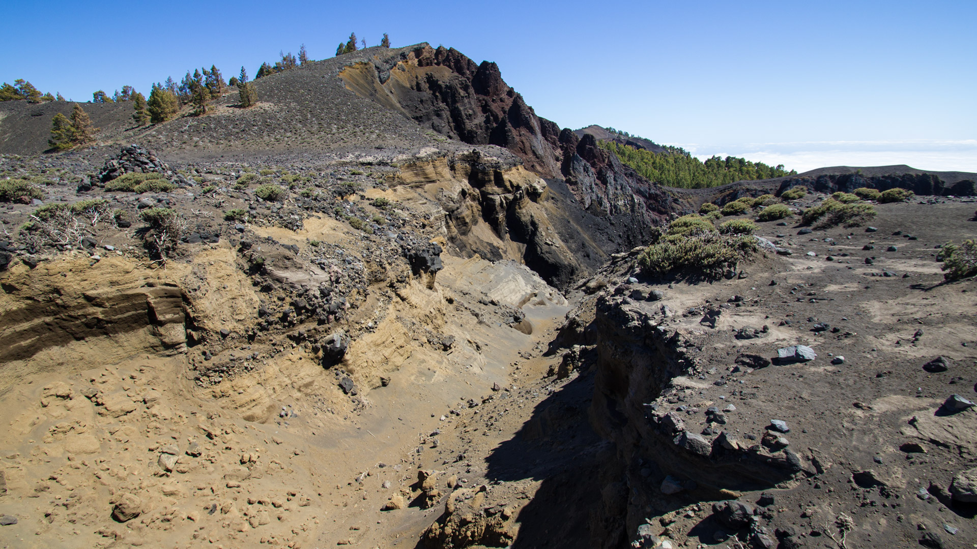
Continue left at Hoyo Negro. SL-LP 125 to a crossroads between pine trees. Left: Path to Pico Nambroque (1,922 m). Past a small cave, descent into a wooded depression, then right past a huge crack in the rock to the summit. From the summit: View into a small crater, volcanic dykes on the northeast side. Panorama over the east coast to Tenerife, El Hierro and La Gomera.
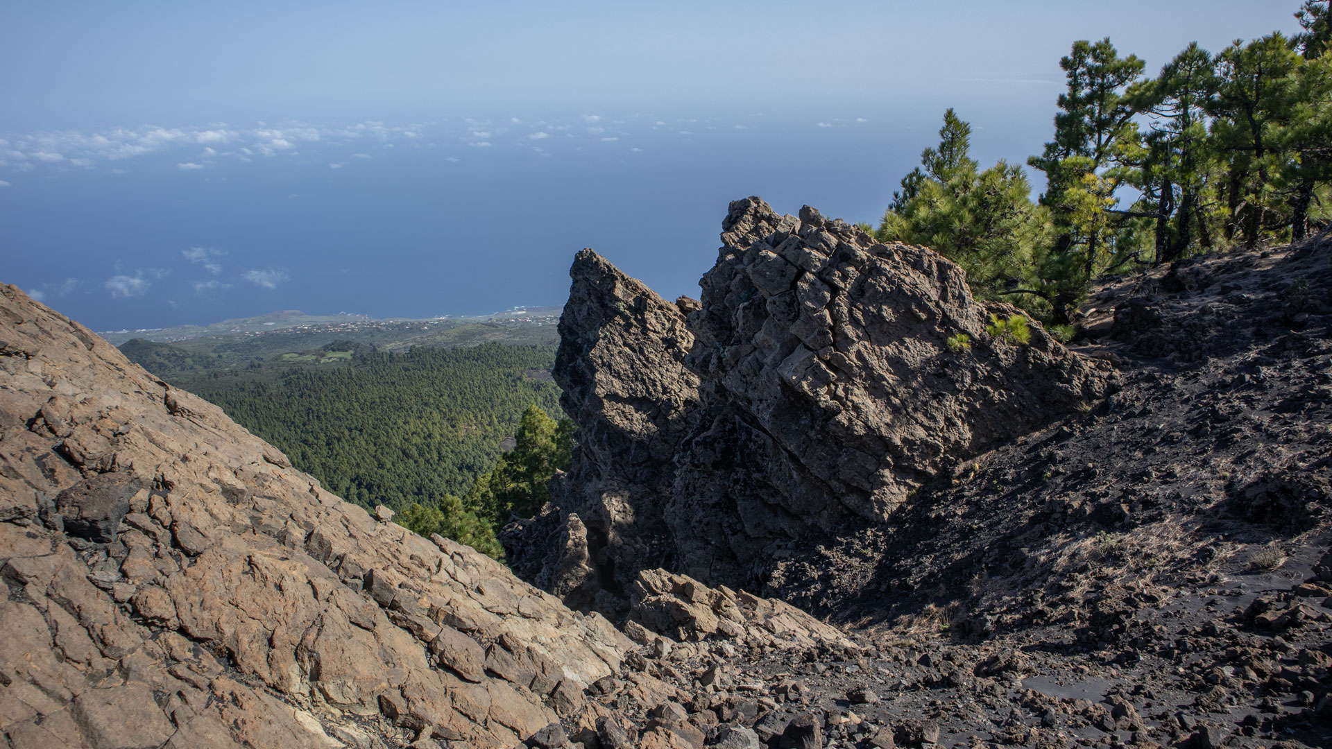
Return via Llano de las Moscas and PR-LP 16 (km 11–15.8)
Back to the crossroads at the beginning of the plateau. Follow the SL-LP 125 towards Llano de las Moscas. A steepening lava-covered track. Small gorge, rocky section of path, pine forest, overgrown slope downhill. Large valley Hoya Buen Viaje. Llano de las Moscas refuge. Then PR-LP 16 (yellow-white) on the Pista Llano de Mosca forest track in slight ups and downs to Refugio El Pilar. Through sparse pine forest, past the volcanic peak of Montaña el Caldero. Small gorge, below Monte Pelado, then turn left – after a few minutes: starting point Refugio El Pilar.
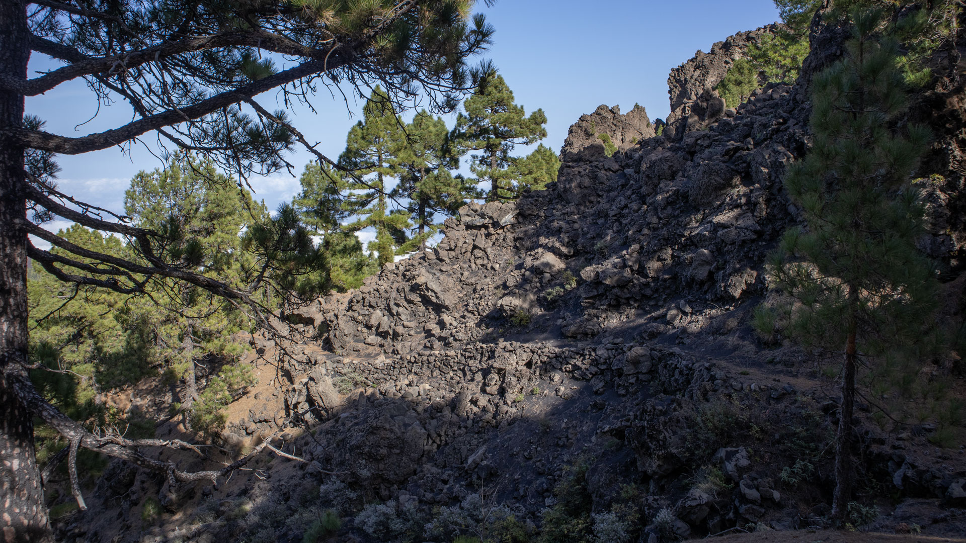
The Cumbre Vieja Natural Park
The Cumbre Vieja Natural Park is the volcanic heart of southern La Palma. It stretches along the chain of active volcanoes that runs through La Palma from north to south. The 2021 Tajogaite eruption occurred at the southern end of this chain. Pico Birigoyo and Pico Nambroque are located in the northernmost part of Cumbre Vieja, right on the border with Cumbre Nueva.
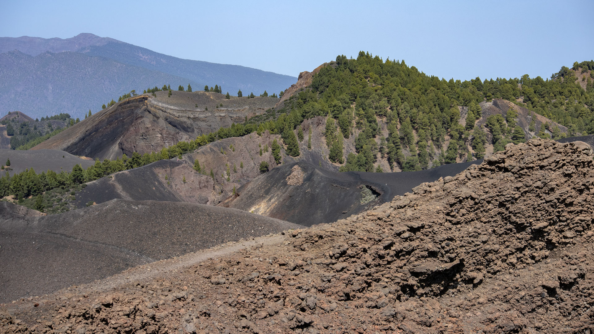
The Cumbre Vieja is not a dormant volcano, but an active volcanic system. The Tajogaite eruption in 2021 has shown: La Palma is still building. Hiking through the summit zone offers first-hand experience of this volcanic activity – the craters, the lava areas, the pyroclastic fields are not historical, but geologically present.
Navigation challenge: three different trail markings
The route changes path markings three times: GR-131 (red-white) → SL-LP 125 (green-white) → PR-LP 16 (yellow-white). Sunhikes requires a good sense of direction. In particular, the branch from the GR-131 to Pico Birigoyo – only marked with cairns – and the change to the SL-LP 125 at Hoyo Negro require attention. GPS track is mandatory.
If you miss the Birigoyo junction and stay on the GR-131, you will go around the summit and miss all four summits on the route. The junction is the most critical landmark — about 40 minutes after the start, on a poorly visible path to the left of the GR-131.
Best time to visit
| Season | Character | Note |
|---|---|---|
| Spring (March–May) | Excellent light and crystal-clear visibility | Optimal conditions; Paths dry |
| Summer (June–Aug) | Often above clouds; hot | Early start; Intensive sun protection |
| Autumn (Sept–Nov) | Best panoramic light | Most popular season; moderately frequented |
| Winter (Dec–Feb) | Cool; Fog possible | Take care on wet paths covered in fine volcanic gravel |
Accommodation: El Paso — Clariso
The Refugio El Pilar is located near El Paso. Holiday homes in El Paso can be booked on clariso.eu — Holiday homes El Paso. El Paso combines national park and Cumbre Vieja access in one community — ideal base for several high mountain hikes. According to Sunhikes, Villa La Hilera is located right on the edge of a fragrant pine forest at 881 m.
Combinable tours
Several Sunhikes routes start from Refugio El Pilar. The Birigoyo-Nambroque day can be easily combined with the volcano route or a shorter Birigoyo circuit:
| Tour | Data | Character |
|---|---|---|
| Hike Ruta de los Volcanes | 18.7 km, difficult | Large volcano route from the same starting point |
| Circular hike to Pico Birigoyo (short) | 5.1 km, moderate | Short Birigoyo tour as an alternative |
| Hike Pista Pico de la Nieve – Ermita Virgen | 13 km, difficult | Descent from the ridge the following day |
GPS track and 3D route planner
GPS track is mandatory on this route. The Sunhikes route page provides the track and elevation profile with all route marker changes. In particular, the Birigoyo turn-off marked by cairns and the change to the SL-LP 125 at Hoyo Negro are marked in the track.
To the route page on Sunhikes: circular hike Pico Birigoyo and Pico Nambroque
3D route planner from Sunhikes
Preload GPS track. Emergency call 112. Use the visitor centre at Refugio El Pilar for current trail conditions. In fog: Orientation on sections of lava debris is difficult. Water for 5 hours – no source on the route.
Completely within the Cumbre Vieja Natural Park. Road restrictions, garbage collection, fire ban. The nature park area is an active volcanic area.
Frequently asked questions
Mirador del Birigoyo — the first viewpoint
The Mirador del Birigoyo is a viewing platform at the foot of Pico Birigoyo, roughly 20 minutes from the start at Refugio El Pilar. From here you can see the entire range of peaks of the Caldera de Taburiente to the north — the semicircular ridge with the Roque de los Muchachos on the far left — and below to the right the Aridane Valley, which looks like a green basin from this vantage point. In spring, the caldera chain often lies above the trade wind clouds, while the Aridane Valley lies below in the sunlight. This contrast – high mountains above clouds, valley in the light – is a typical La Palma panorama.
Pico Birigoyo: the northernmost summit of the Cumbre Vieja
The Pico Birigoyo is the northernmost peak of the Cumbre Vieja. At 1,952 meters it forms the transition between the Cumbre Vieja in the south and the Cumbre Nueva in the north – the volcanic central axis of La Palma. From its summit you can see both ridge directions: to the south along the Cumbre Vieja towards Tajogaite, to the north the Caldera de Taburiente. The crater rim is clearly visible – a gentle ring of lava rock that encloses the former mouth of the volcano.
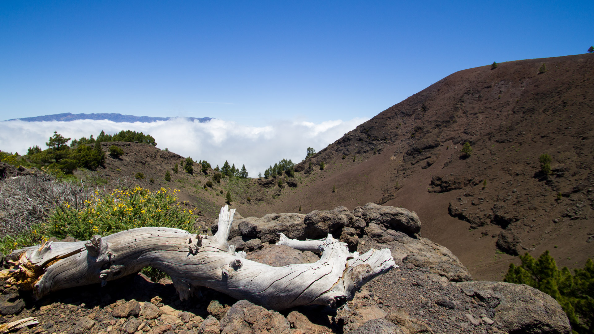
The fire breaks, which are used as paths in several sections, are part of the nature park’s fire protection concept. During the large forest fires that have hit La Palma in the past, they acted as firebreaks to prevent the flames from spreading. While they are hardly ideal hiking paths today — being steep, exposed, and unshaded, slippery after rain — but they are the most direct route between the ridge’s peaks.


