
Circular hike La Cumbrecita: Mirador de los Roques and Lomo de las Chozas
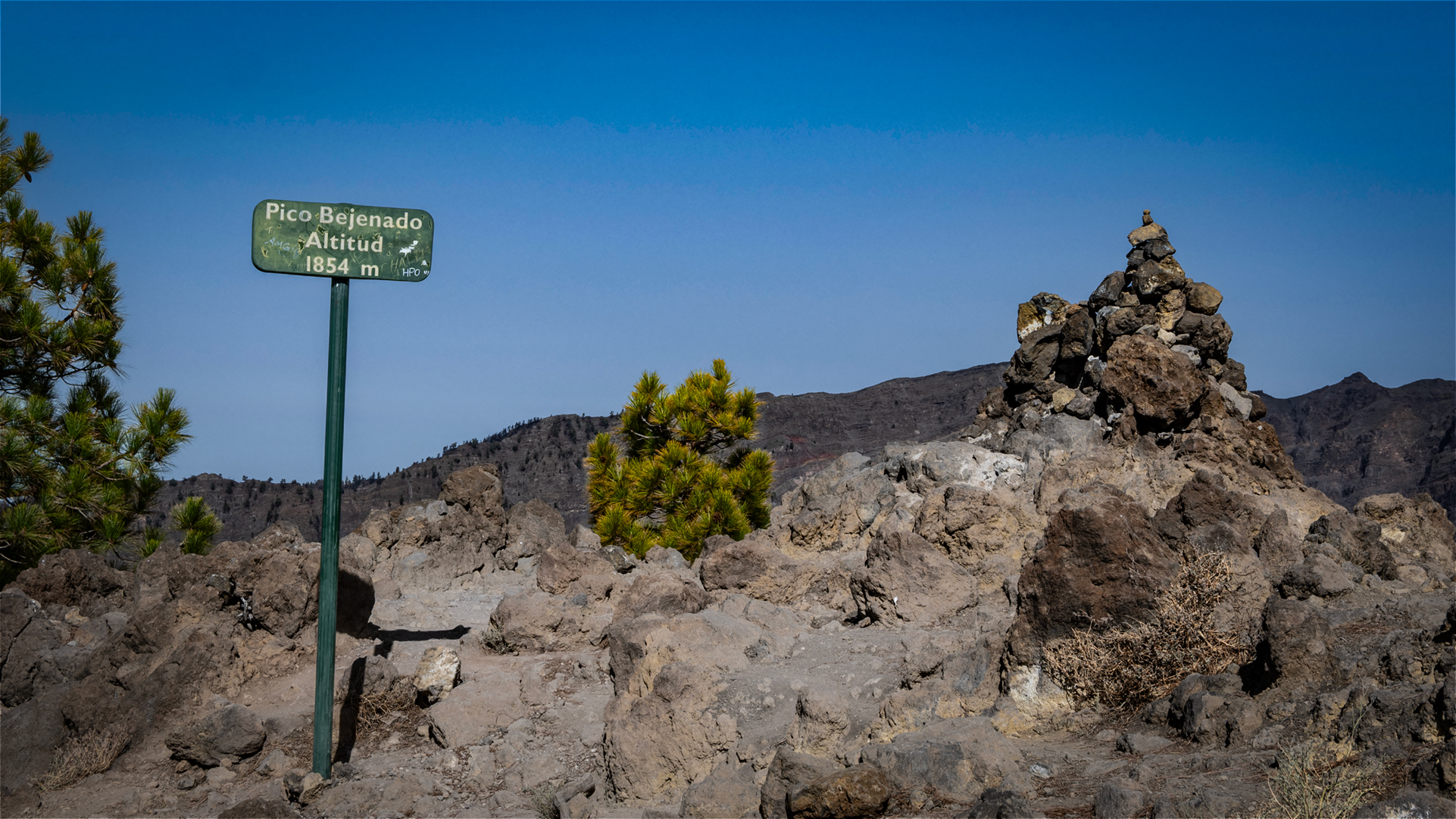
La Cumbrecita is the most popular access to the Caldera de Taburiente National Park for day tourists – and the starting point for this small, impressive circular hike: 3 km, 185 m, easy, 1:00 – 1:30 hours. Two viewpoints, a pine forest descent, magnificent caldera views. The tour connects the Mirador de los Roques (view of the Roques de la Cumbrecita and the Pico Bejenado) with the Mirador Lomo de las Chozas (fantastic deep view of the caldera).
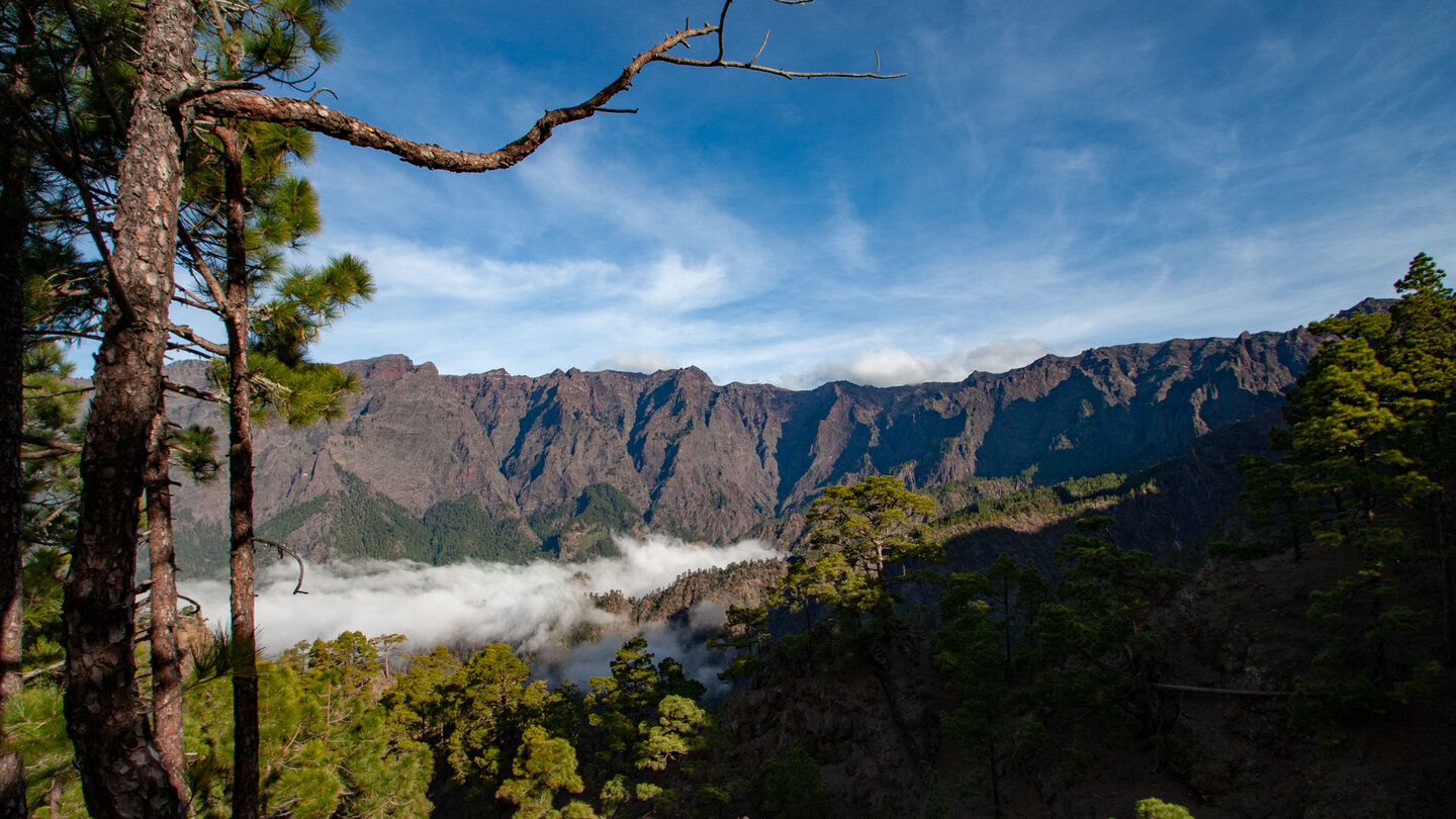
La Cumbrecita lies at 1,319 m – the lowest saddle in the national park. From the car park there are beautiful views of the Caldera de Taburiente and the Pico Bejenado. Important: To arrive by private car, a free permit is required, which can be booked online or at the El Paso Visitor Centre.
Route facts at a glance
| Route type | Loop |
|---|---|
| Distance | 3.0 km |
| Elevation | 185 m ascent / 185 m descent |
| Highest point | 1,319 m (La Cumbrecita car park) |
| Lowest point | 1,223 m |
| Duration | 1:00–1:30 hours |
| Difficulty | Easy |
| Start | Upper car park La Cumbrecita, LP-302 |
| Permit | For car access: free, book online or at El Paso visitor centre |
| Protected area | Caldera de Taburiente National Park (since 1954) |
| Equipment | Water, sturdy footwear, windproof layer |
The route in detail
Parking until Mirador de los Roques
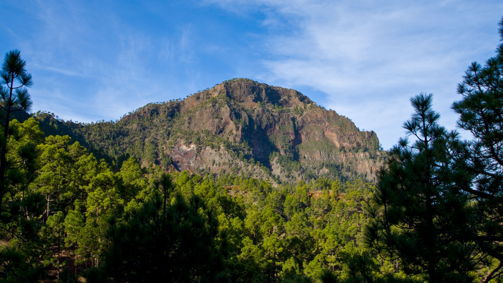
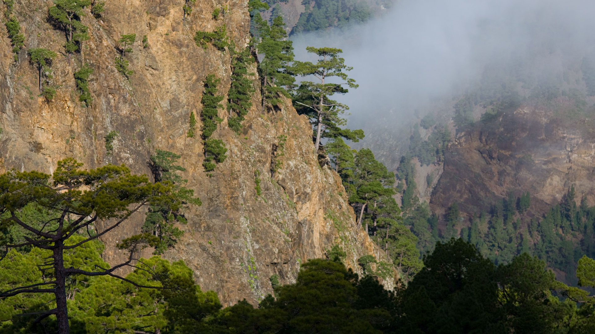
From the upper car park uphill past the national park information booth to a sparsely wooded saddle. Left down into the pine forest – roughly paved, zigzagging downhill. Follow the signs to Mirador de los Roques. From here: View of the Roques de la Cumbrecita (needle rocks) and the Pico Bejenado in the background.
Continue to Mirador Lomo de las Chozas
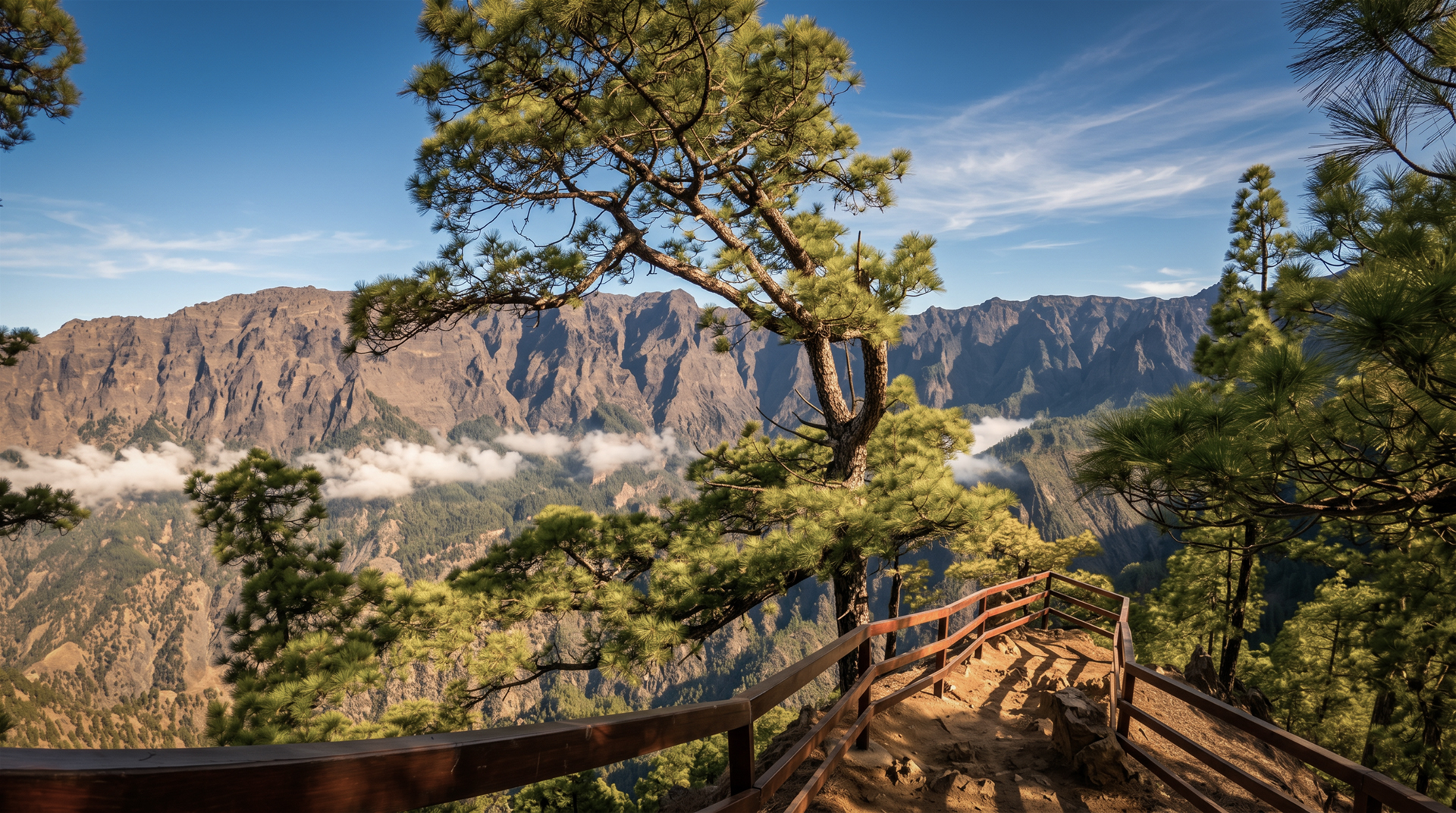
Back to the last crossroads, then follow the signs to Mirador Lomo de las Chozas. The path winds along the mountainside. After about a kilometer: wide track, then to the right – 200 m to the Mirador Lomo de las Chozas with its two viewpoints. Be sure to visit the second one (50 m down the wooden fence): an even more beautiful view of the steep walls and the Pico Bejenado. Return on a slightly ascending forest road to the car park.
La Cumbrecita: Permit and Access
La Cumbrecita is one of two main entrances to the Caldera de Taburiente National Park (the other: Los Brecitos). A free permit is required to arrive by private car – bookable online on the national park website or at the El Paso Visitor Centre. The permit is valid for a specific time interval. Alternatively: Taxi without a permit. A hiking route from the Ermita de la Virgen del Pino to the Cumbrecita is possible as an alternative (Camino de Gordian).
Important: Some hiking trails from La Cumbrecita are temporarily closed – especially the path to Cancelita after a serious rock fall (2026). Always check at the information booth on the Cumbrecita or at the El Paso Visitor Centre to see which paths are accessible.
Mirador Lomo de las Chozas: the most complete caldera view
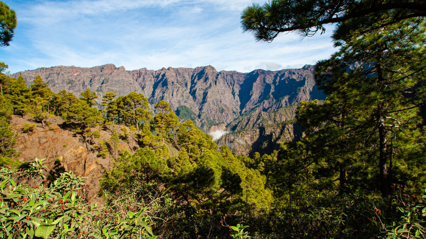
The Mirador Lomo de las Chozas is located on a ridge overlooking two gorges at the same time: on the left the Huanua Gorge, on the right the Rivanceras Gorge. The panorama extends from the Punta de los Roques to the Roque de los Muchachos. This is one of the most complete caldera views you can get without a long climb. The mighty, 700-800 m high steep walls of the caldera in direct view – an image that cannot be seen so completely from any other point.
What can you see at the Roques de la Cumbrecita?
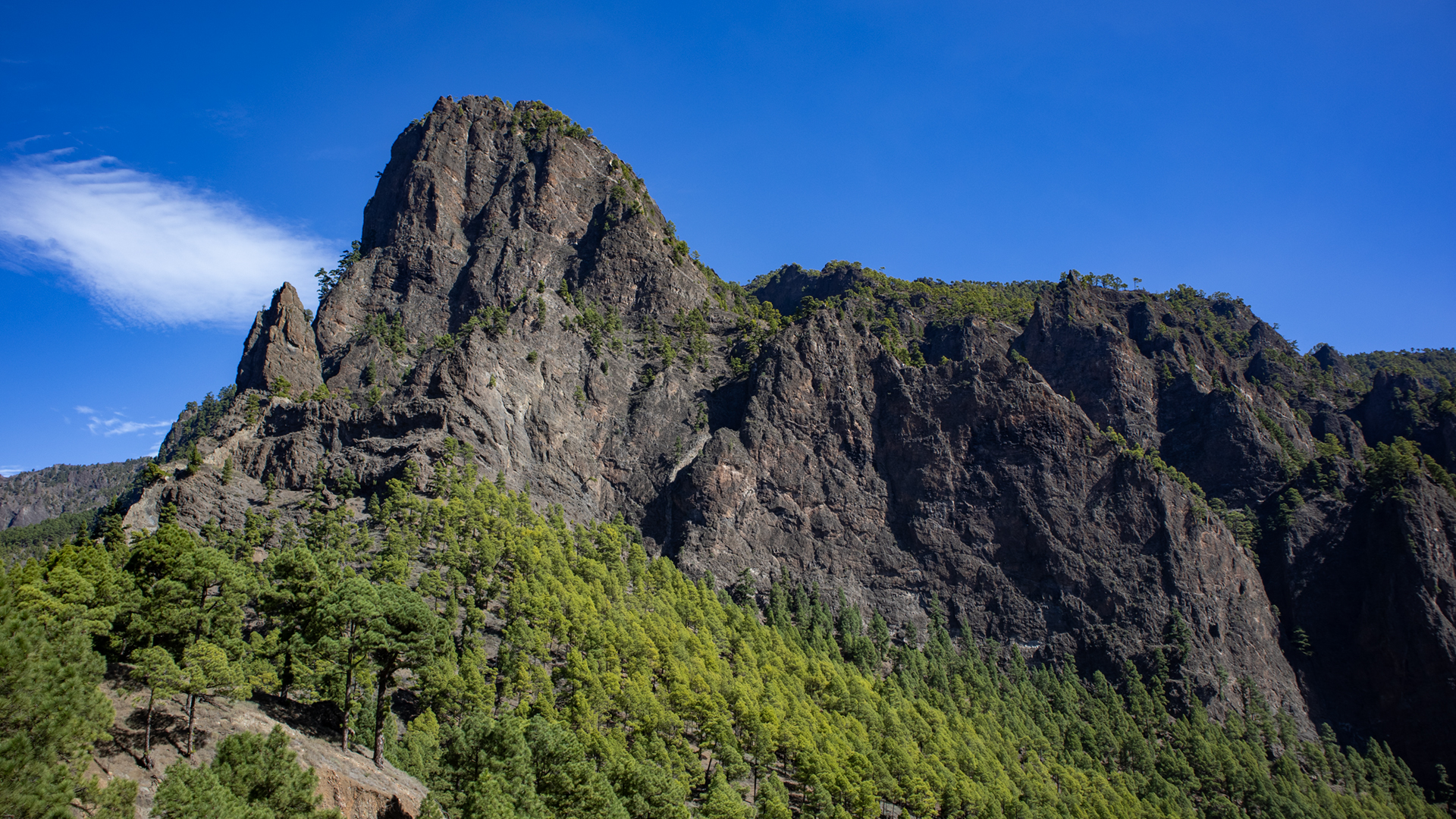
The Roques de la Cumbrecita are a series of rock pinnacles on the caldera rim – vent fillings exposed by erosion that protrude from the steep walls. They are the Cumbrecita’s most iconic motif and appear in almost every caldera photo. You can see them from the side of the Mirador de los Roques, about 100 m away. The Pico Bejenado in the background completes the picture – ideal for taking photos between 9 and 11 a.m.
Best travel time
| Season | Character | Note |
|---|---|---|
| All year round | National park always accessible | Only pay attention to closed paths |
| Spring (April–June) | Tajinaste blooms in High mountains near | Botanically best time |
| Autumn (Sept-Nov) | Clear caldera view after rain | Best photo conditions |
| Winter (Dec-Feb) | Clouds in the caldera | Fog can obscure the view cover |
Accommodation: El Paso — Clariso
La Cumbrecita is located in the municipality of El Paso. Holiday homes are available in El Paso, an ideal base for all national park tours.
Combinable tours
| Tour | Data | Character |
|---|---|---|
| Hike La Cumbrecita → Mirador Morro de los Gatos | 7.1 km, moderate | Longer caldera hike from Cumbrecita |
| Pico Bejenado from Cumbrecita | 8.9 km, moderate | Summit climb from Cumbrecita |
| Camino de Gordian: Ermita → Cumbrecita | 7 km, moderate | Climb alternative without Permit |
GPS track and 3D route planner
The route is well signposted. With the free 3D route planner you can combine the Cumbrecita circuit with the Bejenado hike – directly in the browser, without an app.
To the route page on Sunhikes: circular hike La Cumbrecita
3D route planner from Sunhikes
Practical Tips
Emergency call 112. Book a permit for travelling by car in advance. Trail closures: Consult the information booth at La Cumbrecita or the El Paso Visitor Centre.
La Cumbrecita: History and Name
La Cumbrecita — the small ridge — was historically the easiest transition between the east side of La Palma (El Paso, Santa Cruz) and the caldera interior. Shepherds moved their flocks over this saddle into the caldera, which offers water and pasture all year round. The Camino Real, which led through this saddle, was for centuries the only access to the interior of the caldera without an arduous steep descent over the Barranco de las Angustias.
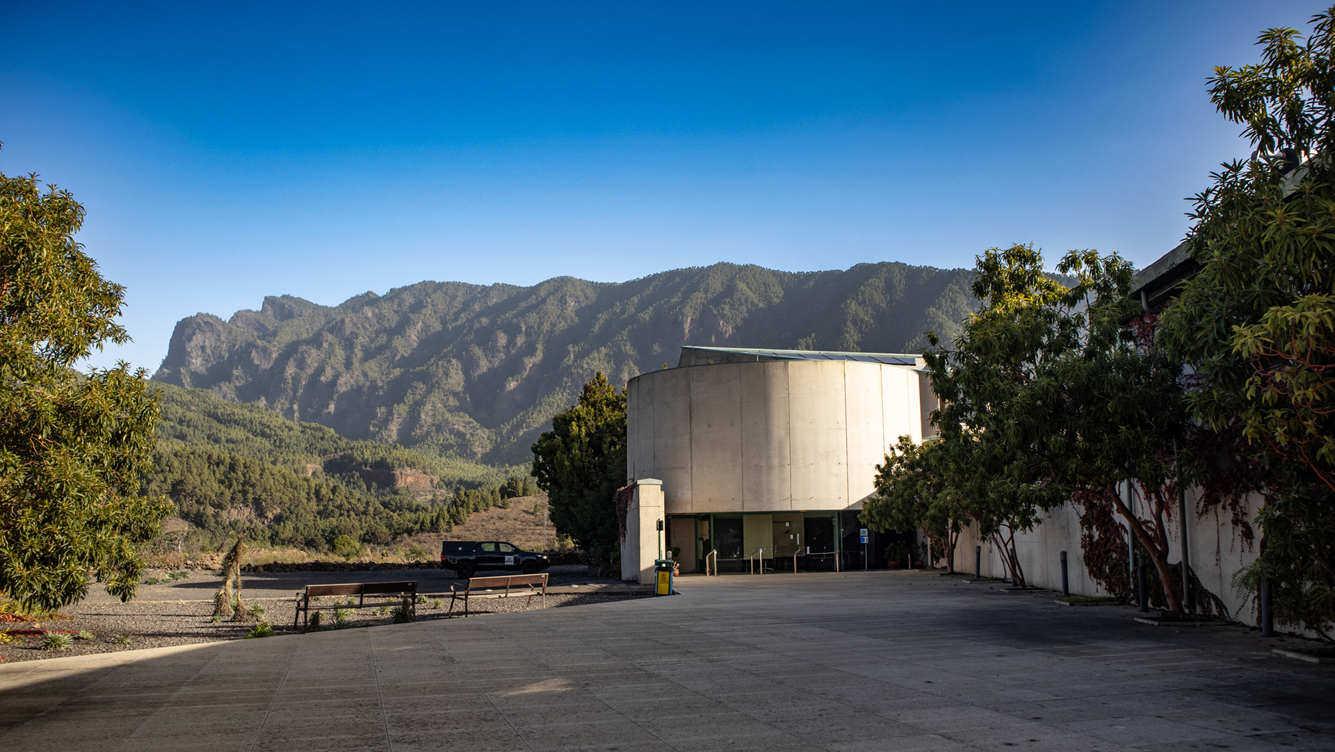
The visitor centre of the Caldera de Taburiente National Park is located in El Paso – about 6 km from the Cumbrecita. The permits are also managed from there. If you want to get to know the national park better, visit the visitor centre before the Cumbrecita excursion: geological models, maps and exhibitions provide context for what you see above.
All year round or only in certain seasons?
La Cumbrecita is accessible all year round — but the weather in the national park can greatly affect the experience. In winter, the Cumbrecita is often surrounded by a sea of clouds: then you can’t see anything in the caldera, but the sea of clouds itself is an image. In summer the caldera is mostly clear but hotter. In spring — Tajinaste in bloom near LP-4 — the combination is best: clear air, fresh vegetation, few tourists during the week.
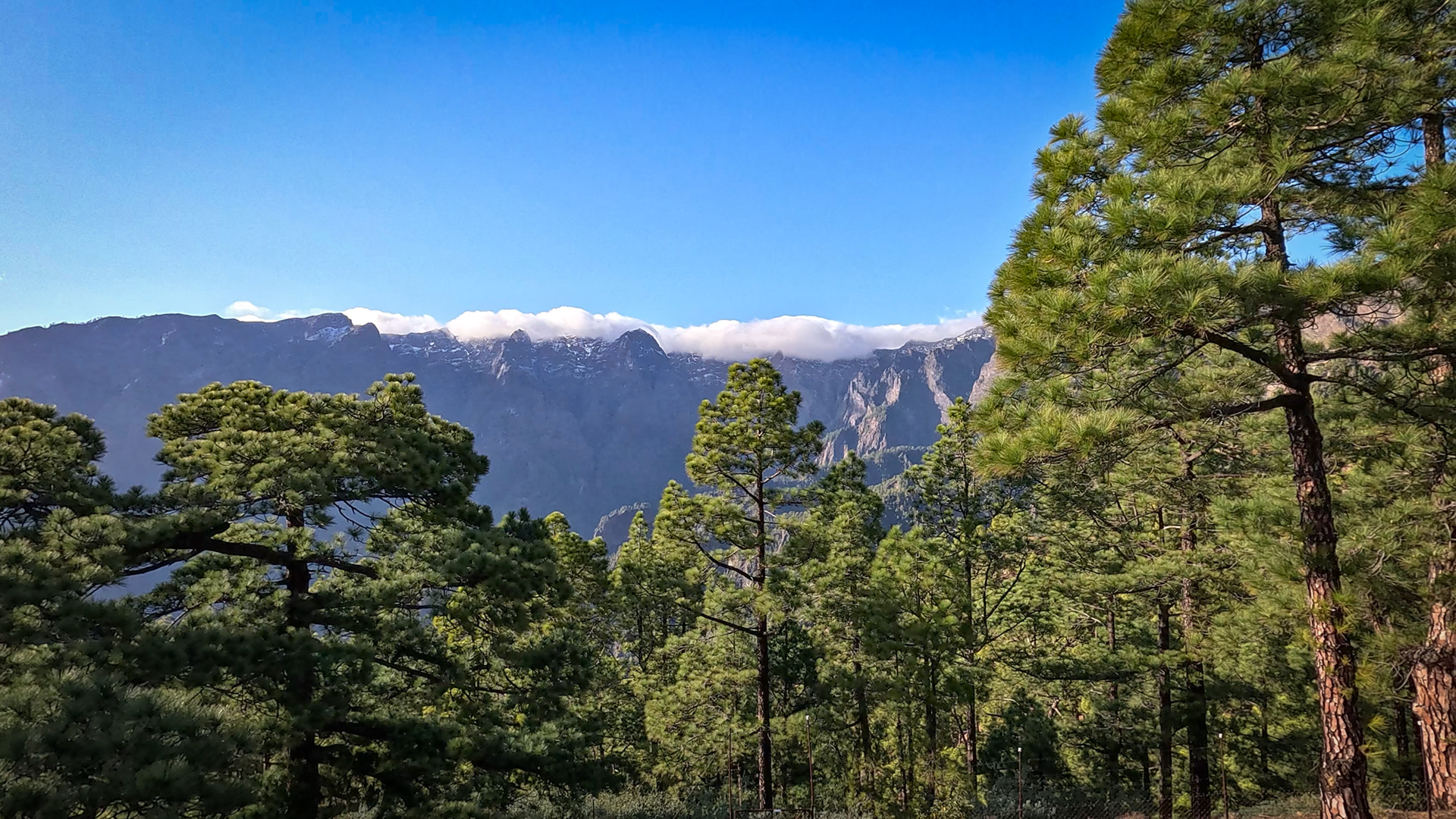
A tip for the second viewing point at Mirador Lomo de las Chozas: The 50 meters down along the wooden fence are mandatory – the first viewing point shows the caldera in the front, the second offers a view of the two gorges of Huanua and Rivanceras at the same time. This view — two deep gorges cutting into the caldera — is the most powerful image of the entire circuit and is not mentioned in any travel guide.
For families, the Cumbrecita circuit is the ideal first national park experience on La Palma: easy, short, with two striking viewing points, well marked and safe. Children can hike here without any stress and still be rewarded tremendously. From around 6 years old for children who can walk well. Pushchairs are not suitable, but carrying small children in a sturdy child carrier backpack works well.
What to do if the permit is out of stock?
If all permit time slots for the desired date are fully booked, there are three alternatives: Camino de Gordian climb on foot (2:30 – 3:15 h, no permit), take a taxi (no permit for taxi rides), or one Choose a weekday (instead of a weekend) — permits are available much more frequently during the week. For hikers with a flexible travel program: plan your visit to Cumbrecita for Tuesday or Wednesday.
The national park website provides daily updated availability. If you check again the evening before, you sometimes find cancellations as spontaneous options. Free booking is mandatory for cars – not for pedestrians, not for taxis. The flexible system also enables spontaneous visits if you are willing to come on foot or by taxi.
The Cumbrecita region’s three viewpoints — Mirador de la Cumbrecita (Car park), Mirador de los Roques (on the Loop), and Mirador Lomo de las Chozas (on the Loop) — show the caldera from three different angles. Parking Mirador: West view of the detached Pico Bejenado. Mirador de los Roques: View of the Caldera rock spiers from the side. Lomo de las Chozas: Deep view of the Huanua and Rivanceras gorges. This triad makes the Cumbrecita circuit a dense, compact panoramic program – more perspectives in 1:30 hours than at many other places in a whole day of hiking.
Summary: La Cumbrecita Loop Hike
The Cumbrecita circuit is the perfect introductory tour to the Caldera de Taburiente National Park – compact, impressive, suitable for all fitness levels. Anyone who visits La Palma for the first time and knows nothing about the national park will take this tour and understand why the Caldera de Taburiente National Park is one of the most important protected areas in Spain.
This article is based on the on-site knowledge of the Gequo editorial team – publisher of the Reisezeit hiking guides and operator of Sunhikes.com. As of: May 2026


