
Caldera high-altitude hiking trail: Pico de la Nieve to Roque de los Muchachos
The Ruta de la Crestería is one of the most beautiful hiking trails in La Palma: 20.5 km, 1,240 m, difficult, 7:30–8:30 hours. The ridge route from Pico de la Nieve (2,239 m) to Roque de los Muchachos (2,426 m) runs continuously over 2,000 meters above sea level on the caldera ridge – with views of the national park and the coast, over the sea of clouds of the trade winds and to the neighboring islands.
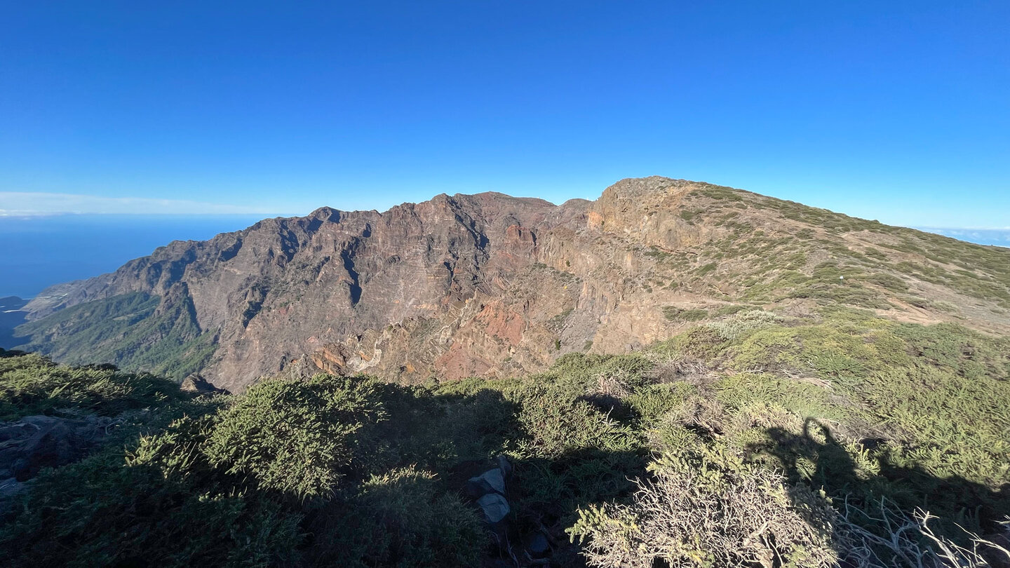
The path leads over five peaks: Pico de la Nieve, Pico del Cedro, Pico de Piedrallana, Pico de la Cruz and Pico de Fuente Nueva. Eight geological highlights: lapilli fields, dykes, pyroclastic fields, La Pared de Roberto, Mirador de los Andenes (twice), the Fuente Juan Diego spring and the telescope domes of the observatory. In spring: high-altitude broom in bloom, La Palma violets, endemic viper’s bugloss.
Starting point: Parking at the Pista del Pico de la Nieve, LP-4 at km 22. Only 4 vehicles. Alternatively, take a car on the LP-4 and walk the slopes. Return route: same route or shortcut in the last valley before the Pico de la Nieve.
Route facts at a glance
| Route type | Out and back (with shortcut option) |
|---|---|
| Distance | 20.5 km |
| Altitude | 1,240 m ascent / 1,238 m descent |
| Highest point | 2,414 m (Roque de los Muchachos: 2,426 m) |
| Lowest point | 2,017 m |
| Duration | 7:30 – 8:30 hours |
| Difficulty | difficult (good basic fitness, good head for heights, sure-footed, easy to follow) |
| Starting point | Pista del Pico de la Nieve parking lot, LP-4 km 22 (max. 4 Car) |
| Path marking | PR-LP 3 (yellow-white) + GR-131 (red-white) |
| Protection status | Caldera de Taburiente National Park |
| Equipment | Water, provisions, sun protection, wind protection, sturdy shoes |
Directions
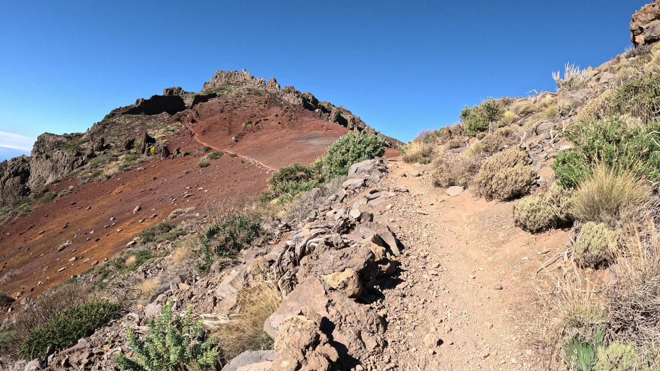
LP-4 from Santa Cruz, at km 22 turn onto the Pista del Pico de la Nieve. Park at the end of the dirt track (max. 4 cars). Alternatively: Park your car at LP-4, walk to the slopes or take the PR-LP 3 that branches off immediately (approx. 30 minutes extra).
The route in detail
Climb to the ridge and Pico de la Nieve (km 0-1.5)
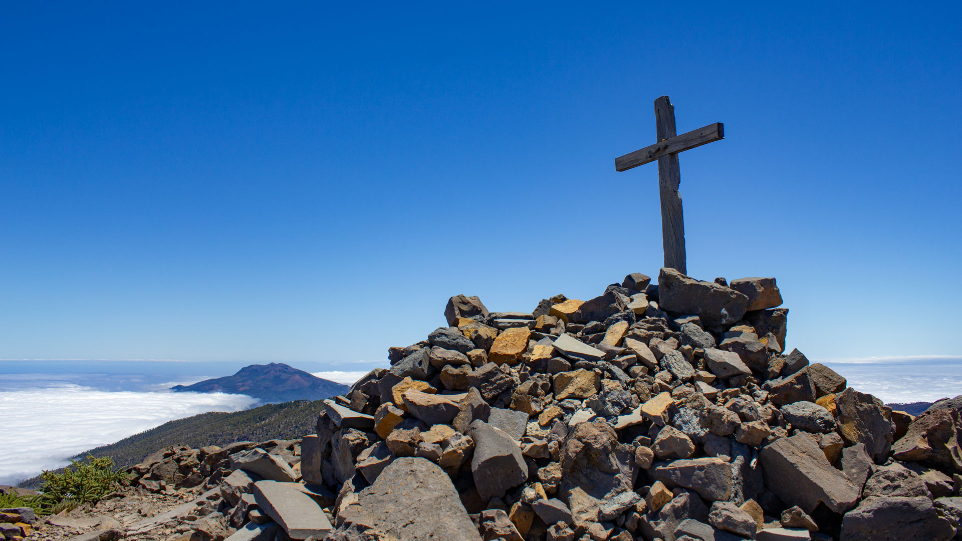
From the car park on the PR-LP 3 (yellow-white) first along the slope through pine forest, then steeply in serpentines to the ridge height. Natural viewpoint with views over the caldera. Then right, short climb: Pico de la Nieve (2,239 m) with summit cross. Tenerife on the horizon in good conditions. Continue on the GR-131 (red-white).
Pico del Cedro and Pico de Piedrallana (km 1.5-8)
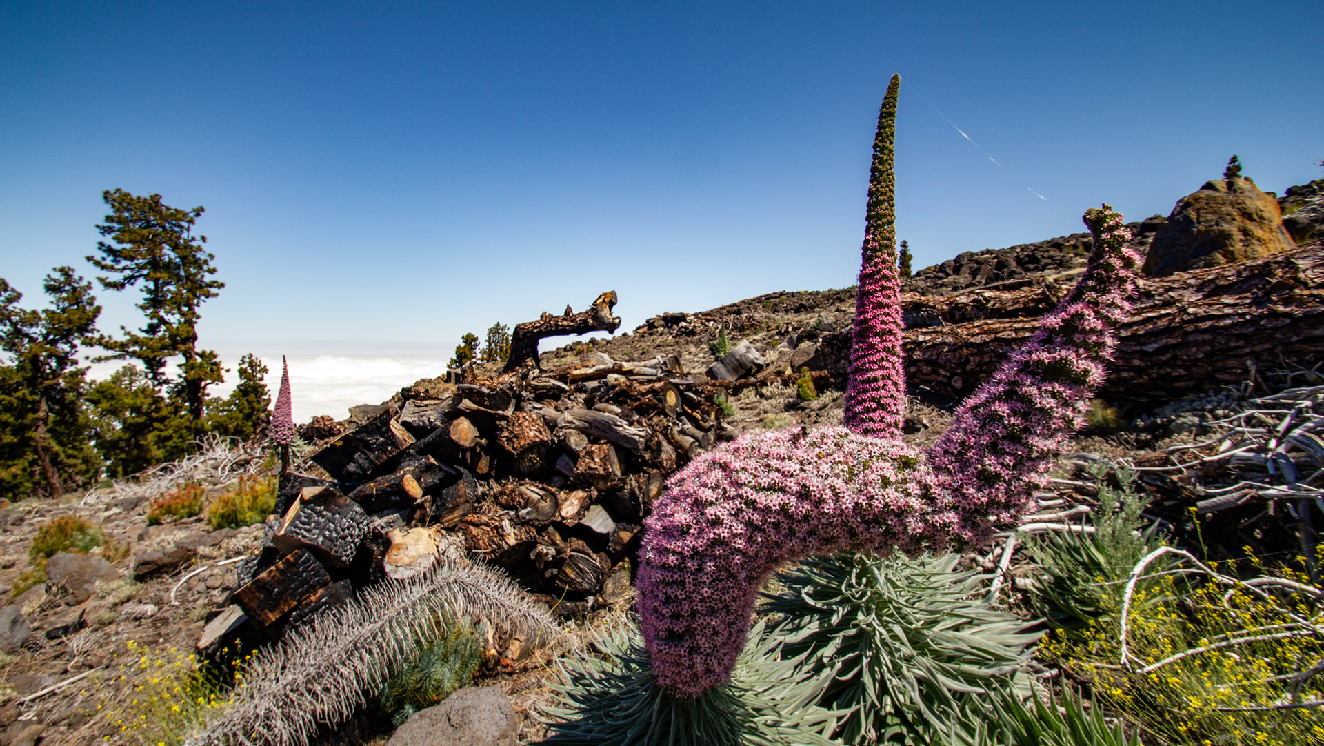
A beautiful, narrow hiking trail with gentle ups and downs along the Crestería. You circle the Pico del Cedro (2,247 m) in a wide arc. Then climb to the Pico de Piedralana (2,321 m). In spring, the gentian-like viper’s bugloss, the La Palma violet and the broom (Adenocarpus) bloom in all their splendour.
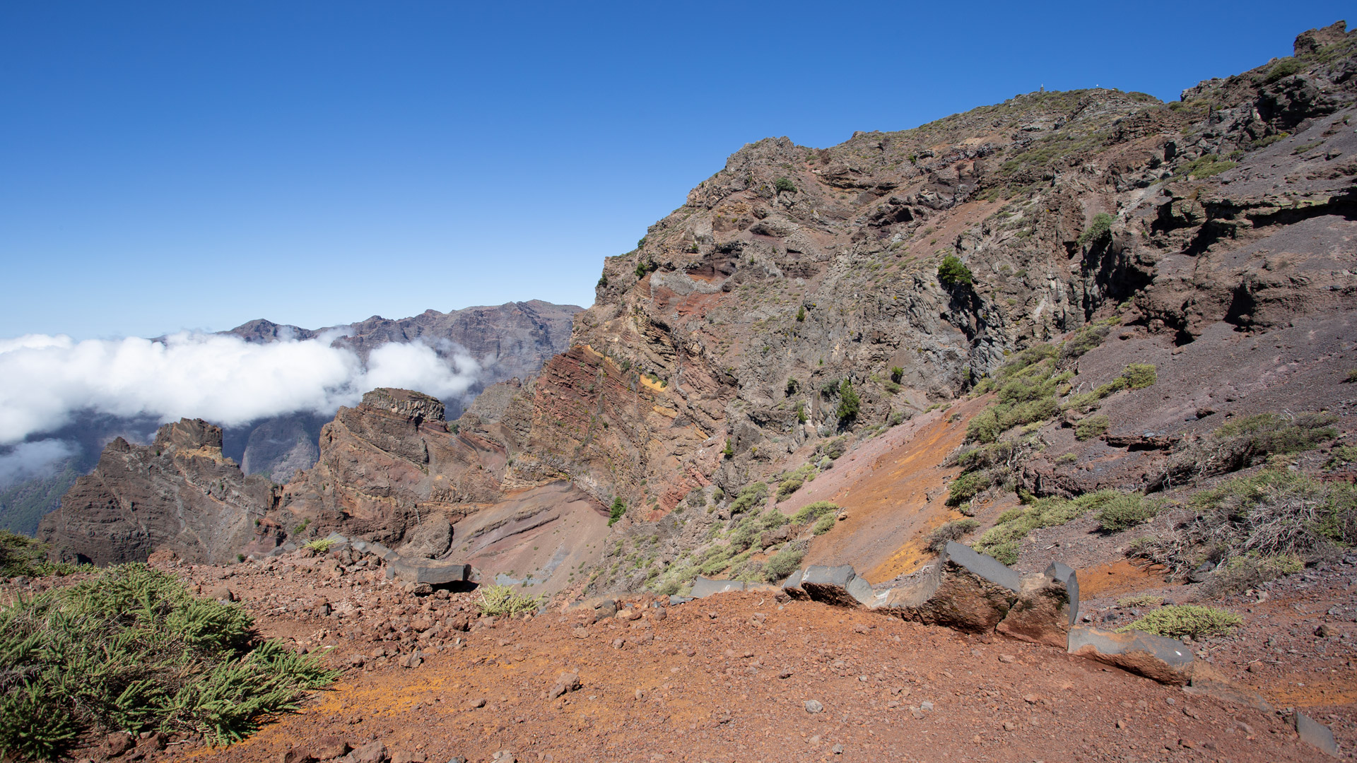
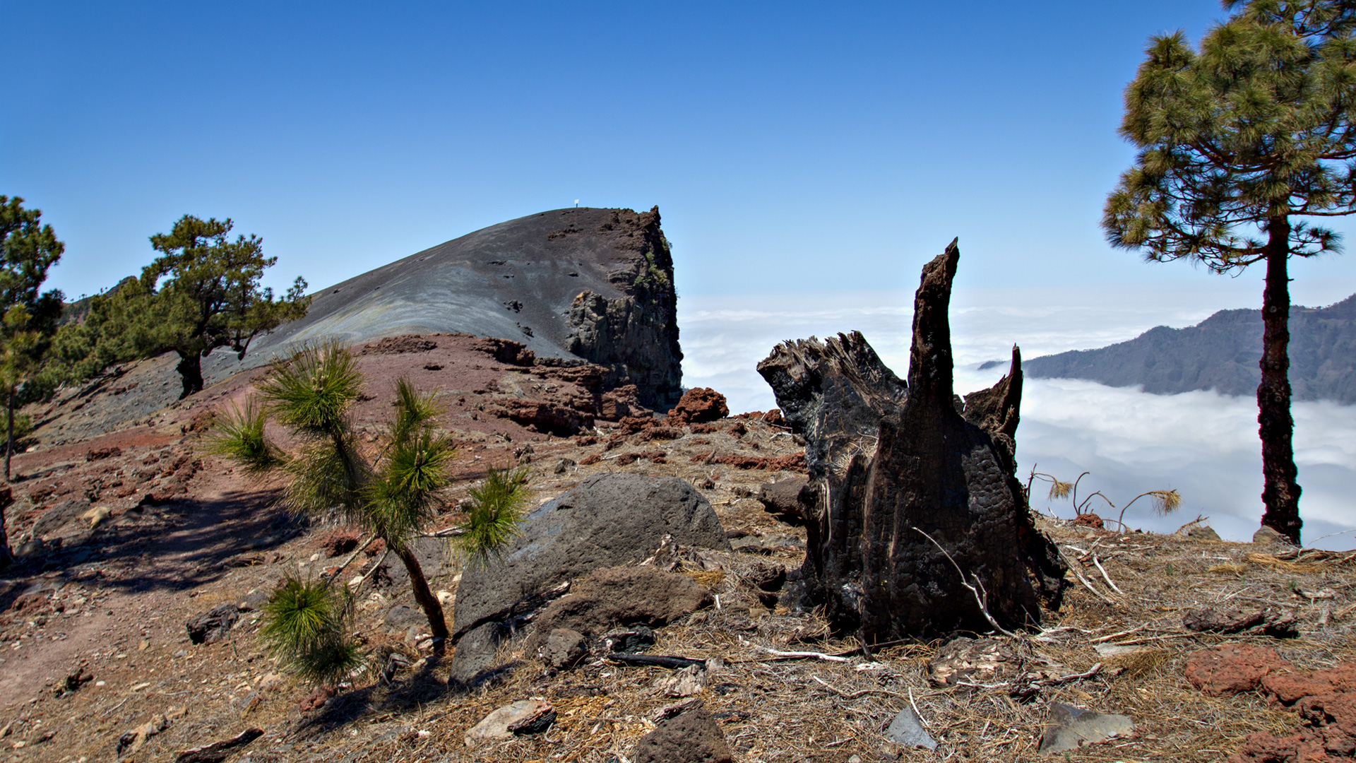
The Pico de la Cruz is already visible from the Pico de Piedrallana. The path repeatedly crosses pyroclast fields in yellow and red – deposited ejecta products of explosive eruptions. You can take a short break at the Fuente Juan Diego.
Pico de la Cruz (km 8-10) and Mirador de los Andenes
At Pico de la Cruz (2,351 m): Cross and relay house. The observatory on the opposite side of the caldera becomes visible. Endangered plants are cultivated in fenced areas near the summit. The path descends and briefly runs parallel to LP-4.
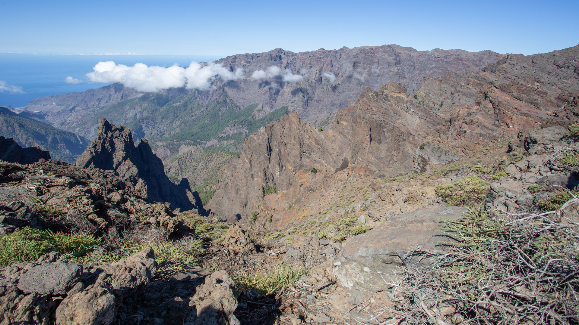
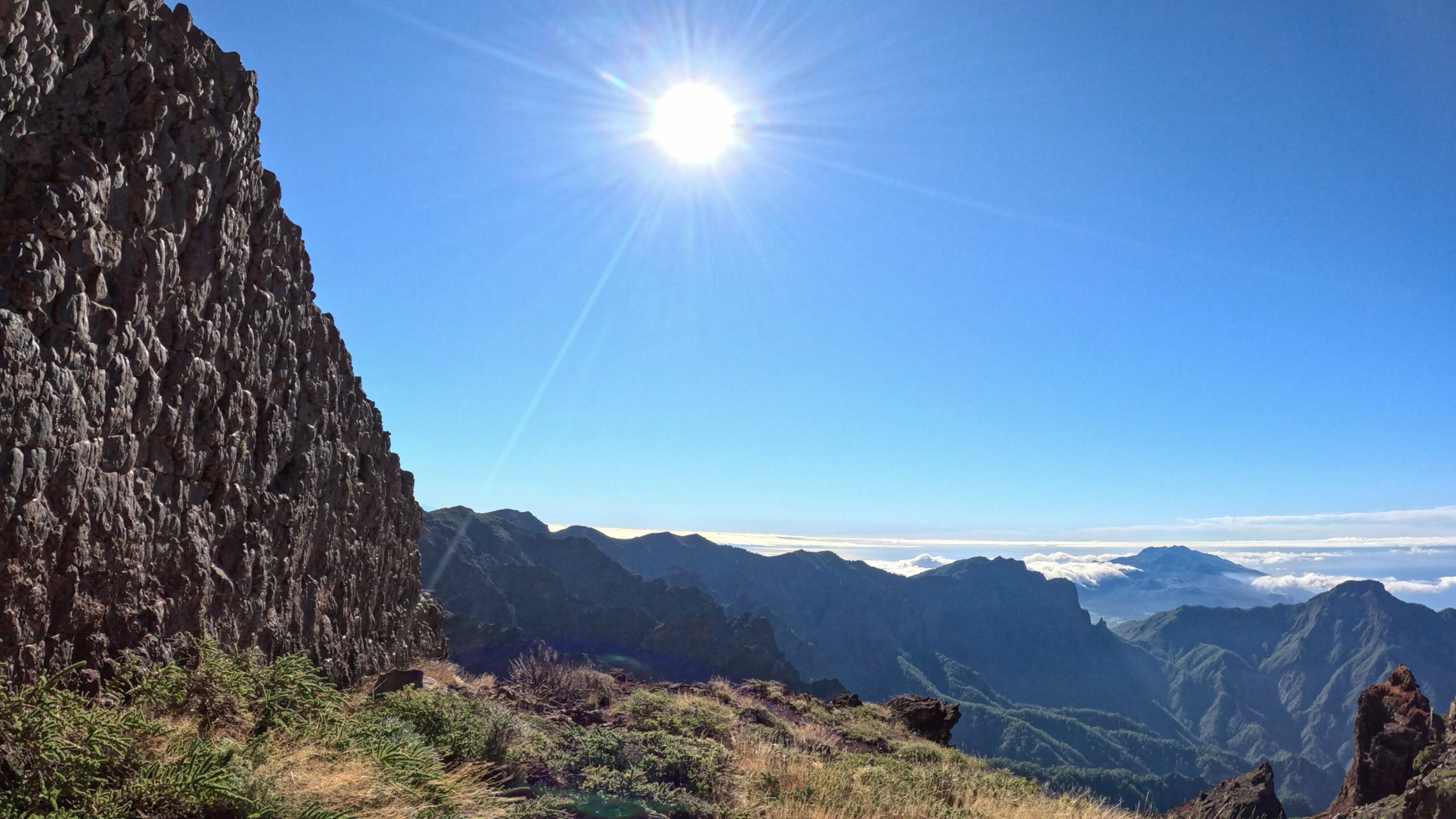
Then: Mirador de los Andenes (also Mirador de Francéses) right on the street. Breathtaking view over the Caldera. The path then runs spectacularly over a red-purple shimmering lapilli surface – and shortly afterwards: La Pared de Roberto, the vertical basalt wall with the V-opening.
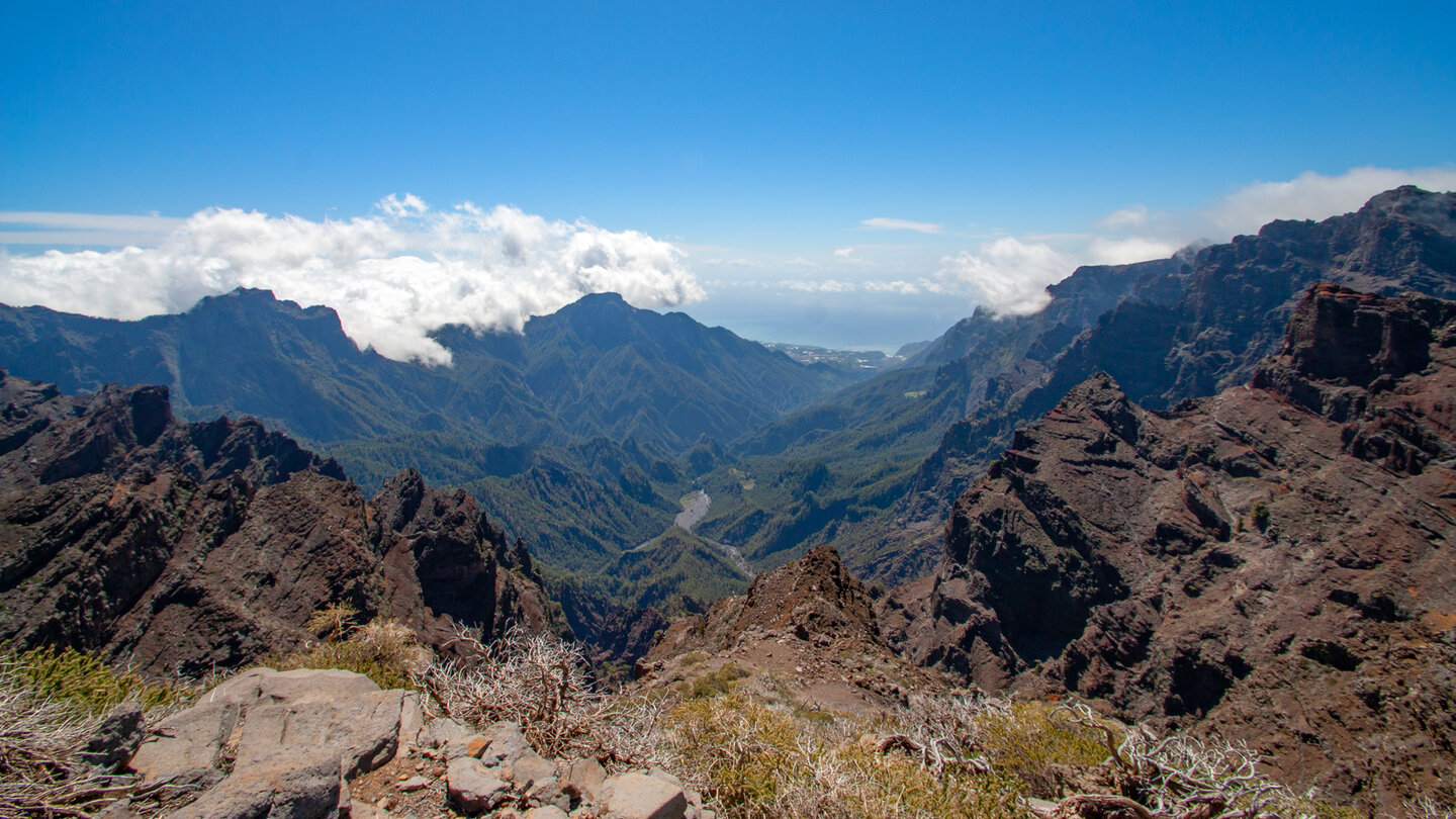
Pico de Fuente Nueva and Roque de los Muchachos (km 10-20.5)
Continue over large paved sections up and down through the summit chain. Short detour to the second Mirador de los Andenes (above, worthwhile). Then continue to the Pico de Fuente Nueva (2,366 m) with brick columns. Telescope domes of the Astrophysical Observatory right next to the path.
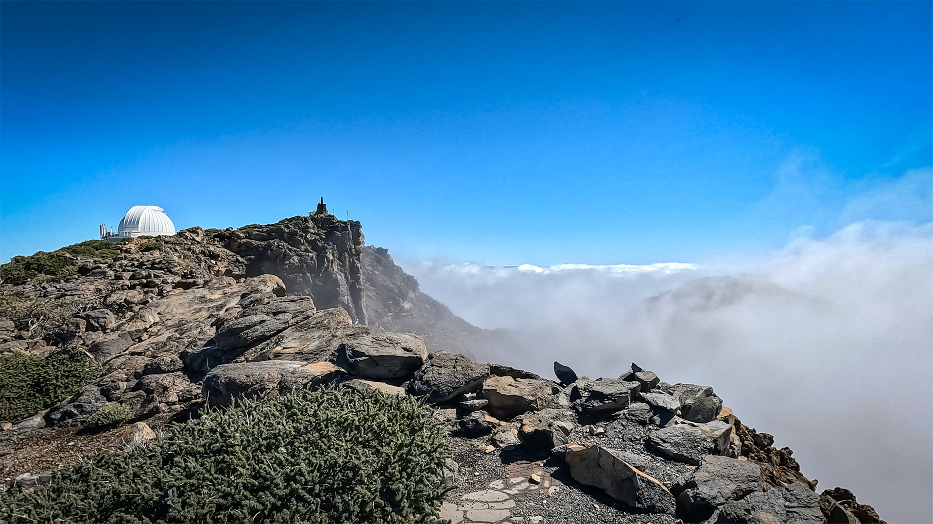
Last ascent: through gorse vegetation in numerous curves. Red steep walls of the caldera as an accompaniment. At the car park of the Roque de los Muchachos (2,426 m): paved circuit around the rock formations. On a clear day: El Hierro, La Gomera, Tenerife. If you like: Extension to Espigón del Roque (1.2 km extra).
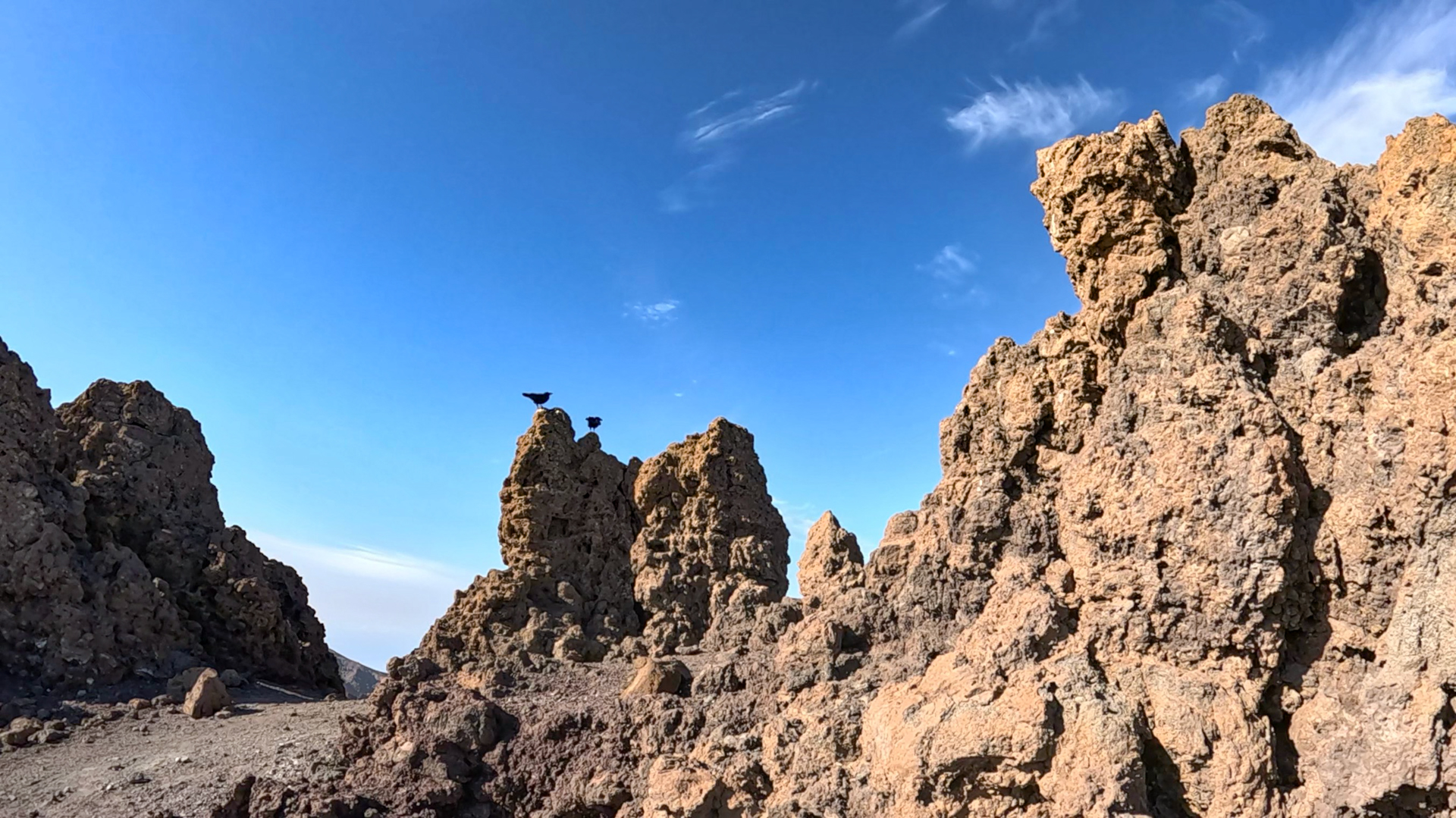
Back on the same route. In the last valley before the Pico de la Nieve possible shortcut over a narrow, slippery path to the car park.
The Ruta de la Crestería — ridge route of the Canary Islands
The Ruta de la Crestería (German ridge route) is the name for the high-altitude hiking trail along the Caldera ridge. It is part of the GR-131 El Bastón, the long-distance hiking trail that crosses La Palma from north to south. The total length of the GR-131 across the island is around 73 kilometers. The ridge route is the most magnificent segment.
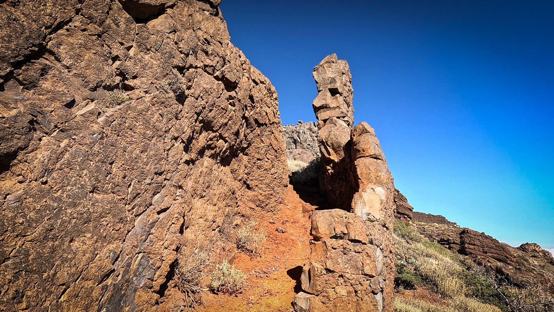
What sets this route apart: You hike continuously on or near the edge of the caldera – always with a view on both sides. To the caldera: steep walls, gorges, interior panorama. To the outside: the sea, the coastal villages and on a clear day four other islands. This duality over 20.5 kilometers cannot be experienced so fully anywhere else on La Palma.
Tajogaite view from Pico de la Cruz
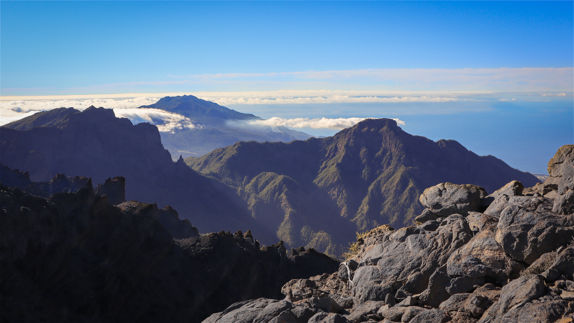
Shortly after the Pico de la Cruz you can see the first views of the Tajogaite, the volcano that erupted in 2021 on the west side of the Cumbre Vieja. Its crater lies behind Pico Bejenado in the viewing direction. The lava field that covered Puerto Naos and parts of La Laguna in 2021 is visible from this height as a dark area on the coast. A direct line connecting the island’s oldest geology (caldera) and the most recent eruption.
Best travel time
| Season | Character | Note |
|---|---|---|
| Spring (March–May) | Flowering of all high mountain plants; clear visibility | Best conditions; Plan 7-8 hours |
| Summer (June–August) | Often cloud-free; very intense light | Start early (before 7am); Heat protection |
| Autumn (Sept–Nov) | Best panoramic light, most popular season | Wind protection mandatory; heavily frequented |
| Winter (Dec–Feb) | Snow possible from 2,200 m | Only in absolutely safe conditions |
Combinable tours
The ridge route can be divided into two day tours. An alternative is to only walk the southern section (from LP-4 km 31/32) – this is the shorter, equally impressive option:
| Tour | Data | Character |
|---|---|---|
| Hike Pico de la Cruz – Roque de los Muchachos | 10.1 km, moderate | Southern section of this ridge route |
| Pico circular hiking trail de la Nieve – Erita de los Guanches | 5 km, moderate | Shorter tour from the same starting point |
| Hike Pista Pico de la Nieve – Ermita de la Virgen | 13 km, difficult | Descent from the same start to the Ermita |
GPS track and 3D route planner
A GPS track is absolutely recommended for a 20.5 km ridge route. The Sunhikes route page provides the track, elevation profile and all waypoints including a shortcut option in the valley in front of the Pico de la Nieve.
3D route planner from Sunhikes – plan your own route in the national park
Practical Tips
Emergency call 112. No reliable mobile phone network on the entire ridge. Share route with someone, specify position and planned return.
7-8 hours walking time – start early, ideally before 7 a.m. During this time the ridge is quiet and the light is optimal. Clouds can build up from midday.
According to Sunhikes, the tour can be divided into two stages: Pico de la Nieve – Pico de la Cruz (day 1), Pico de la Cruz – Roque de los Muchachos (day 2). No hut location on the ridge between these points.
Note: National Park
Completely within the Caldera de Taburiente National Park. Road restrictions, littering bans, fire ban. Endangered plant areas near Pico de la Cruz: fenced – no entry.
Frequently asked questions
What is the Ruta de la Crestería?
You can do the tour on split two days?
What is the shortcut option?
Two-day variant: Pico de la Cruz as a split point
Sunhikes recommends dividing the 20.5 km ridge route into two stages at the fork in the road at Pico de la Cruz. Stage 1: Pista del Pico de la Nieve car park → Pico de la Cruz → back. Stage 2 (own day): From the LP-4 starting point at km 31/32 → Roque de los Muchachos → Espigón → back. This second stage corresponds to the Pico de la Cruz – Roque de los Muchachos hike (10.1 km, moderate). Both stages are well-rounded and worthwhile.
The two-day variant has a practical advantage: no overnight accommodation is required on the ridge. You sleep in the valley (El Paso, Los Llanos or Santa Cruz) and start from the corresponding car park depending on the stage. This makes the ridge route also suitable for hikers with normal fitness – instead of a physical experience of pushing the limits on a long day, it’s a relaxing high mountain weekend.
A detail that stands out on the route: the plant protection fences near the Pico de la Cruz are used to cultivate endangered high mountain species. The national park administration collects seeds from endemic plants and grows them in protected areas before replanting them in the park. One of the species is the pink-flowered viper’s head (Echium wildpretii) – a high mountain plant typical of La Palma that is not found on other islands.
From the ridge route you can see the Tajogaite lava field in its entirety for the first time shortly after the Pico de la Cruz. The 2021 lava field covered around 12 km² of the western side of Cumbre Vieja. From this height it appears as a dark, almost shiny black area on the coast. The contrast between the old, green caldera ridge and the young, bare lava field shows La Palma in different periods of volcanic history at the same time.
This article is based on the on-site knowledge of the Gequo editorial team – publisher of the Reisezeit hiking guides and operator of Sunhikes.com. As of: May 2026


