
PR-LP 12.1: Tinizara – Lomo de las Piedras Altas hiking trail
The PR-LP 12.1 from Tinizara to Lomo de las Piedras Altas is a continuous uphill route: 5.3 km, 1,011 m, difficult, 2:15–3:15 hours. From 867 meters in Tinizara to 1,857 meters at Lomo de las Piedras Altas – almost continuously uphill, through pine forest, vineyards and open, high terrain. Breathtaking views over the west of La Palma to the Atlantic reward the effort.
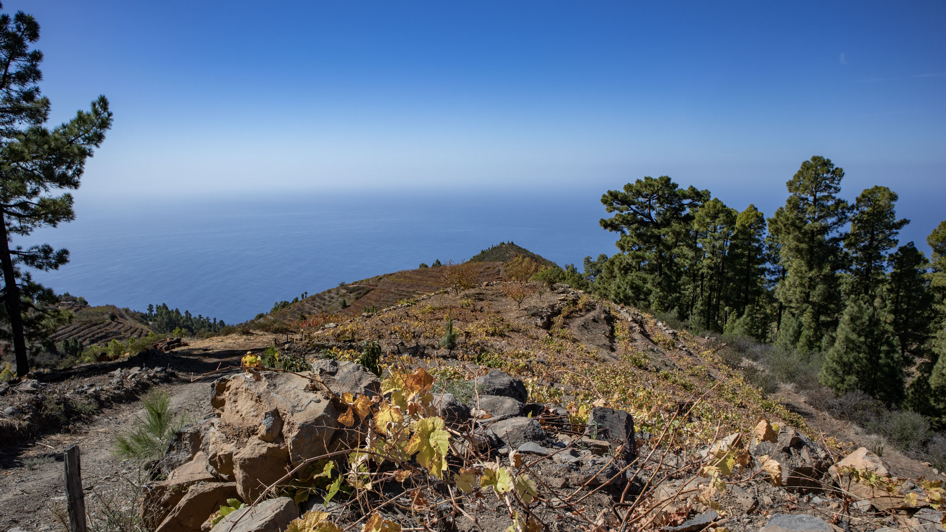
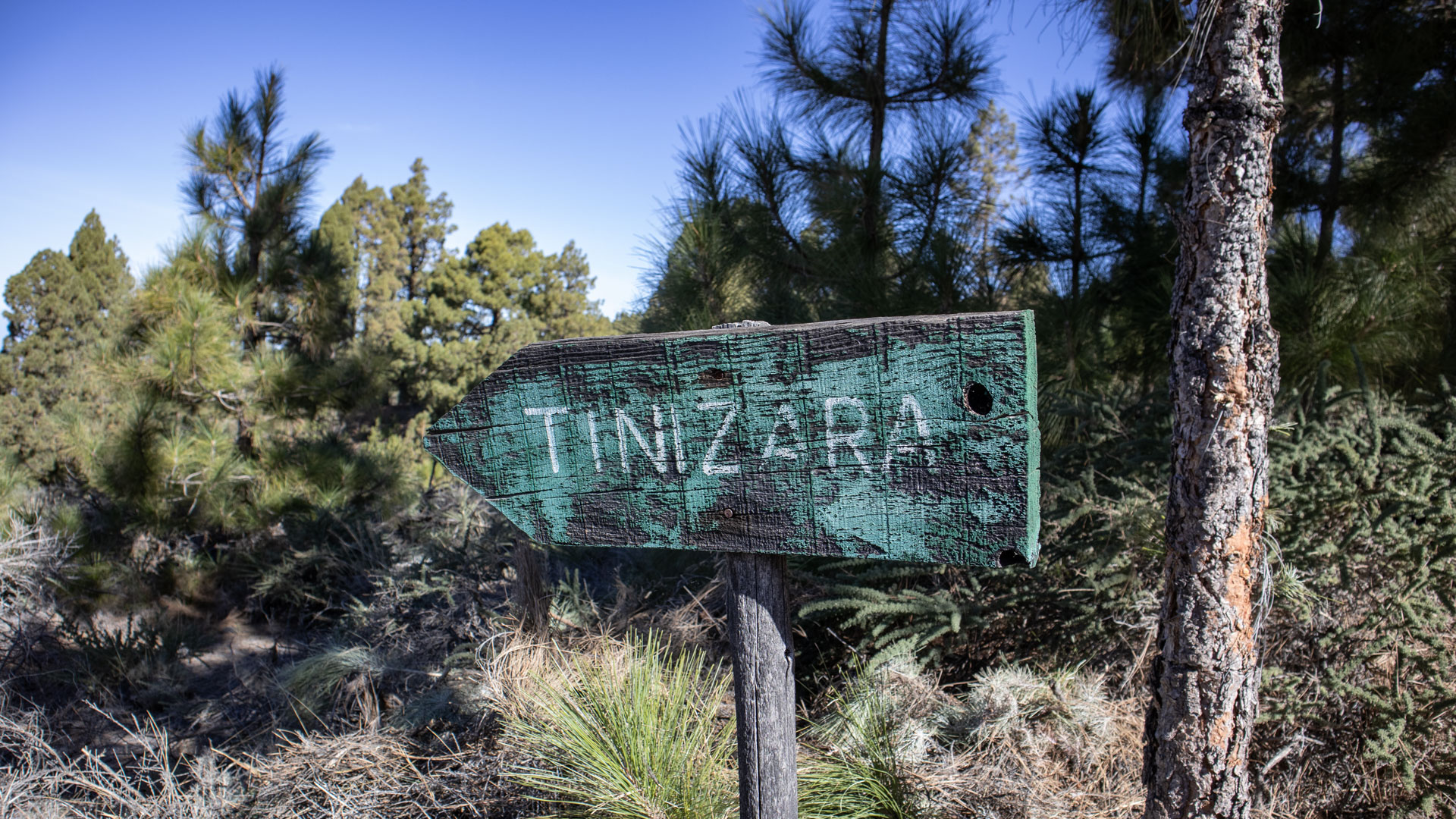
The route begins in Tinizara, a district of Tijarafe on the GR-130, and ends at the top of the PR-LP 12 — the hiking trail that connects the Roque de los Muchachos with Tijarafe. On the way there is the Llano de Lance picnic and barbecue area in the pine forest and the Refugio Tinizara refuge, where the PR-LP 10 (La Traviesa) crosses the route.
Sunhikes emphasizes: the route is of medium difficulty, but very strenuous due to the constant climb. It makes more sense than just going uphill and downhill to include it in a circular tour: ascend PR-LP 12.1, up on PR-LP 10 to the north, then PR-LP 11 downhill to Puntagorda, back on GR-130 to Tinizara.
Route facts at a glance
| Route type | One-way route (Tinizara → Lomo de las Piedras Altas) |
|---|---|
| Distance | 5.3 km |
| Altitude | 1,011 m ascent / 21 m descent |
| Highest point | 1,857 m |
| Lowest point | 867 m (Tinizara) |
| Duration | 2:15-3:15 hours |
| Difficulty | difficult (constant climb, good level of baseline fitness) |
| Starting point | Tinizara, Camino La Ermita – junction from GR-130 |
| End point | Lomo de las Piedras Altas – junction with PR-LP 12 |
| Waymarking | PR-LP 12.1 (yellow-white) |
| Protected area | no special protection status |
| Equipment | Water, sturdy shoes, sun protection, rain protection, wind protection, provisions |
Getting there
Tinizara is a small hamlet in the municipality of Tijarafe, accessible from the LP-1 west coast. Starting point: Camino La Ermita, junction from the GR-130. Car park on site. Since the route is a linear route, we recommend either a second car at the end point Lomo de las Piedras Altas (LP-4) or planning a circular route returning to Tinizara to Tinizara.
The route in detail
Tinizara to Llano de Lance (km 0-1.2)
In Tinizara the route directly crosses the LP-1 road and climbs in a straight line through scattered dwellings and agricultural areas. You reach the Camino los Riverloes, the road to Refugio Tinizara. After about 1.2 kilometers: the Llano de Lance picnic and barbecue area in the shady pine forest. A good first break before the steeper section.
Llano de Lance to Refugio Tinizara (km 1.2–2.8)
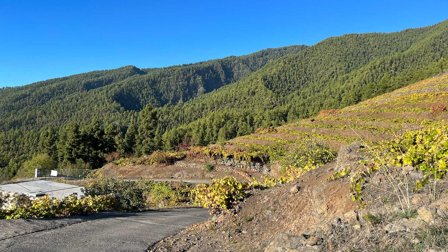
Continue uphill through terraced vineyards. The PR-LP 12.1 partly runs along the paved Camino los Riverloes, which it crosses again and again. After about 2.8 kilometers: the Refugio Tinizara refuge. The cross-trail PR-LP 10 (La Traviesa) crosses the route here – if you are planning a circular tour, you can turn off here.
Refugio Tinizara to Lomo de las Piedras Altas (km 2.8–5.3)
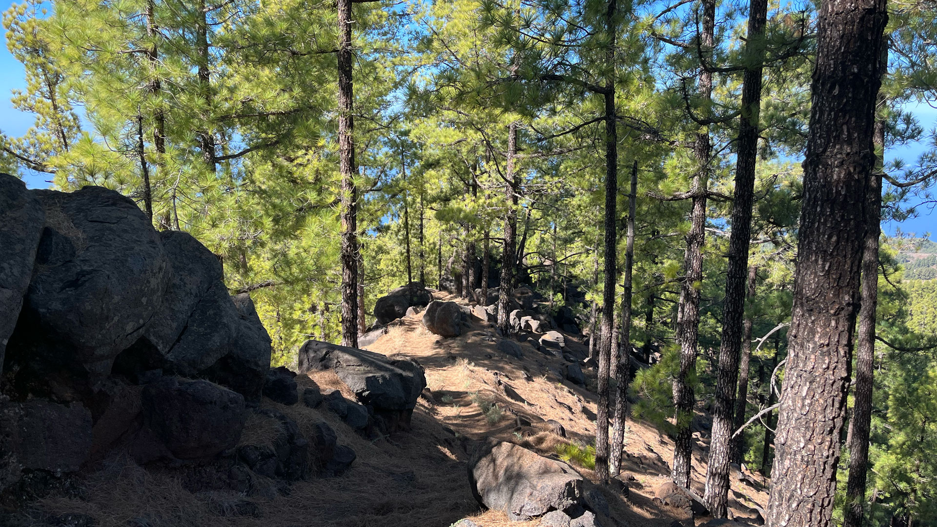
From Refugio Tinizara continue uphill through pine forest. After about 500 meters the route leaves the pine forest and runs again through wine-growing areas – steeply uphill. The PR-LP 12.1 crosses a wide road and leaves the vineyards behind. The last 1.5 kilometers are steep through sparse pine forest to the crossroads at Lomo de las Piedras Altas, where the hike ends and the PR-LP 12 begins.
Tinizara and the vineyard culture of the northwest
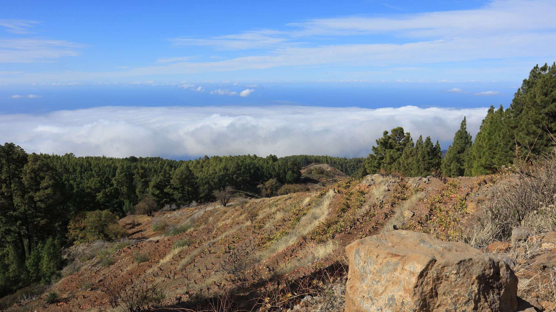
The hamlet of Tinizara is located at around 800 meters above sea level in one of the most traditional wine-growing areas in La Palma. The vineyards through which the PR-LP 12.1 leads partly reach up to 1,500 meters in altitude – unusually high for viticulture. The extreme slopes on terrace walls made of lava stone and the direct contact with the trade wind give the wine from this altitude its characteristic character.
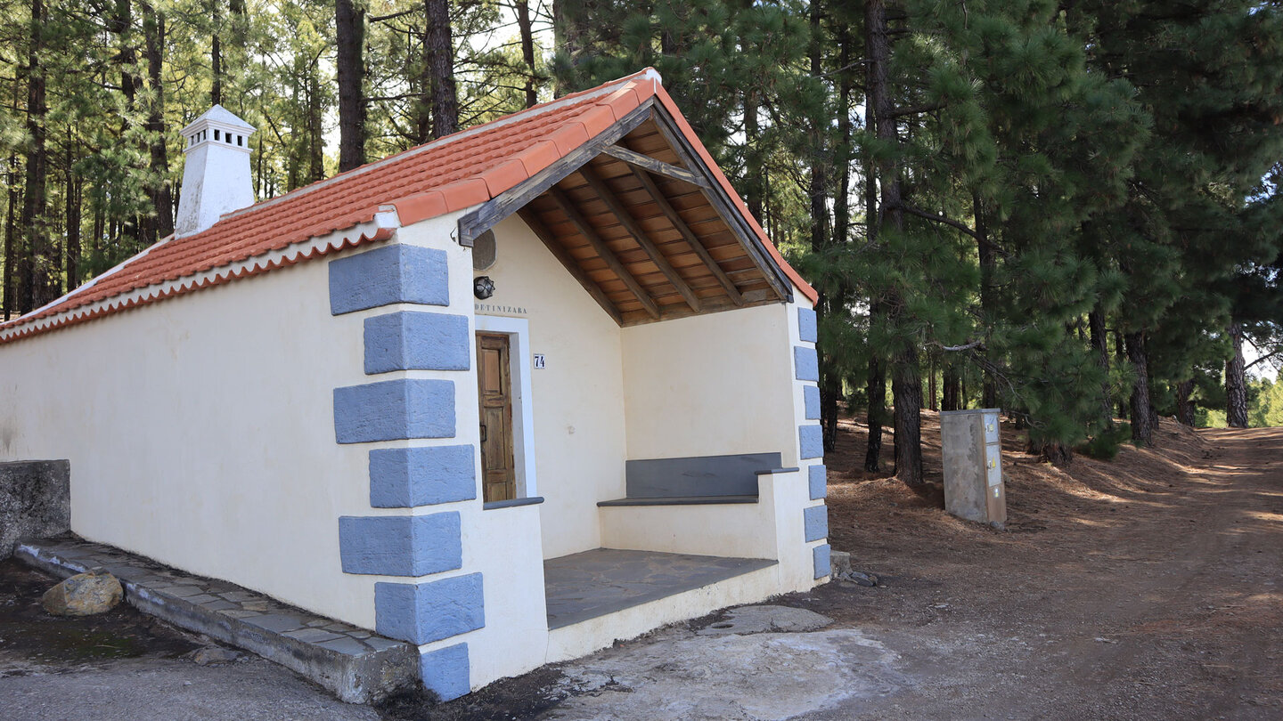
The Refugio Tinizara is a small refuge – not an overnight accommodation, but a landmark on the route and intersection with La Traviesa (PR-LP 10). The combination of both routes – PR-LP 12.1 ascending, PR-LP 10 crossing, PR-LP 11 descending – is the most logical round tour option from Tinizara.
1,011 meters in altitude over 5.3 km – what that means
A climb of 1,011 m over 5.3 km means an average gradient of nearly 19% over the entire distance. For comparison: a steep Alpine path has 15-18 percent. This makes the PR-LP 12.1 one of the most demanding pure ascents in La Palma. If you do it there and back, you’ll have 2,022 meters in altitude in your legs – more than the Ruta de los Volcanes. Following Sunhikes’ recommendation: incorporate it into a circular tour, not just uphill and downhill.
Best travel time
| Season | Character | Note |
|---|---|---|
| Spring (March–May) | Vineyards fresh, visibility clear | Best conditions; Pine forest fragrant |
| Summer (June–Aug) | Hot in the open vineyard sections | Early start mandatory; lots of water |
| Autumn (Sept–Nov) | Vintage atmosphere; clear Atlantic view | Most popular season |
| Winter (Dec-Feb) | Very cool and windy at the top at 1,857 m | Wind protection mandatory |
Accommodation in Tijarafe
Tinizara is located in the municipality of Tijarafe. Holiday homes with pool and Atlantic view can be booked directly on clariso.eu — Holiday homes Tijarafe. With over 37 available houses, Tijarafe has the largest selection of holiday homes on La Palma.
Combinable tours
The PR-LP 12.1 is most useful as part of a tour. The classic combination leads back to Tinizara via three waymarks:
| Tour | Data | Character |
|---|---|---|
| Circular hike Jieque (short) | 8.1 km, moderate | Pine forest circuit in the same region |
| Circular hike Jieque (large) | 14.5 km, difficult | Large loop with PR-LP 12 and SL-LP 70 |
| El Jesús cultural hike | 9.4 km, moderate | Gorge and cultural landscape the following day |
GPS track and 3D route planner
Be sure to carry a GPS track with you – especially the crossroads at Refugio Tinizara (PR-LP 10 crosses) and the end point at Lomo de las Piedras Altas are difficult to identify without a track. With the free 3D route planner, the route can be combined with the PR-LP 10 into a complete circular tour – directly in the browser, without an app.
To the route page on Sunhikes: PR-LP 12.1 Tinizara – Lomo de las Piedras Altas
3D route planner from Sunhikes – customize and combine routes
Practical Tips
Emergency call 112. There is no place to stop for refreshments on the route – bring provisions and enough water for 2:15 – 3:15 hours. Plan to take a break at Refugio Tinizara – the last comfort point before the steepest section.
Frequently asked questions
Can you do the route as an out-and-back route?
What is at the end point Lomo de las Piedras Altas?
The GR-130 in Tinizara
Tinizara is located on the GR-130, the Camino Real de la Costa – the historic coastal path that circles La Palma in eight stages. The PR-LP 12.1 branches off the GR-130 in Tinizara and climbs steeply towards Cumbre. This location makes Tinizara a junction: this is where the coastal path meets the ridge path. Anyone who climbs the PR-LP 12.1 follows one of the oldest connecting routes between the coast and the high mountains on La Palma.
The integration of the PR-LP 12.1 into the GR-130 enables long multi-day tours: GR-130 along the coast to Tinizara, PR-LP 12.1 up to the Cumbre, further on the PR-LP 12 towards Roque de los Muchachos. This is the classic route that the residents of the coastal villages used to take to get to the high pasture and back.
Llano de Lance: the picnic spot in the pine forest
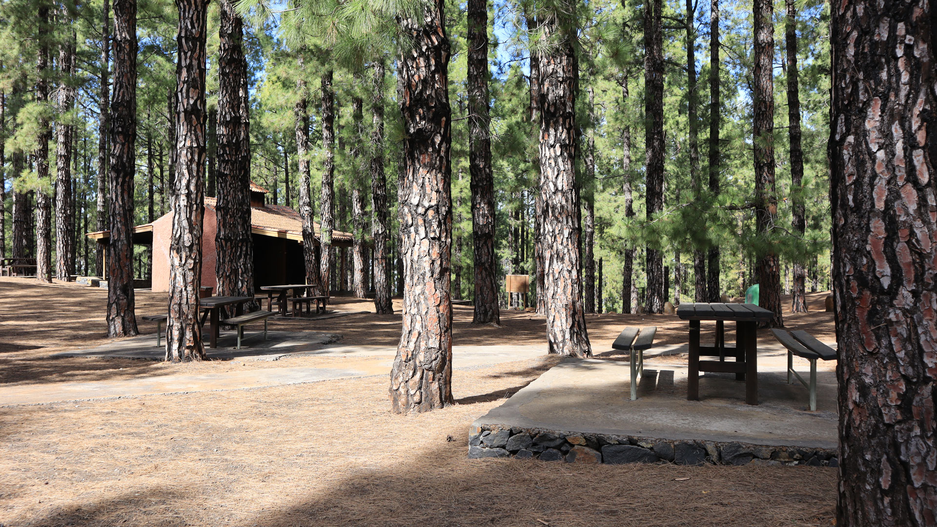
The Llano de Lance picnic and barbecue area is about 1.2 kilometers away in the shady pine forest above Tinizara. It is one of the few rest areas with barbecue facilities on the west side of La Palma and is used by locals on weekends. For hikers it is the natural first break: before the steeper section through the vineyards, in the shade of the pine trees, with the first view back of the coast.
After Llano de Lance the hike becomes noticeably more strenuous. The trail through the vineyards climbs relentlessly without the variation of pine forest shade. Sun protection and enough water are crucial from here. Once you have passed the barbecue area, you plan to climb another 1.6 km uphill to Refugio Tinizara – half of the total ascent.
For hikers with a good level of fitness, the PR-LP 12.1 is ideal as part of a multi-day program: Day 1 climb up and spend the night on the ridge (refugio or descent to Puntagorda), day 2 on the PR-LP 12 towards Roque de los Muchachos. This is the classic west-east transition of La Palma – from the coast in Tinizara to the highest point of the island. Around 35 km, 2,500 m altitude over two days.
The views on the PR-LP 12.1 open up gradually: In Tinizara you can initially only see the next edge of the slope. As the altitude increases, the view widens. At 1,200 m: the coast with the sea. At 1,500 m: the entire west side to Tazacorte. At 1,857 m at Lomo de las Piedras Altas: a complete panoramic view from the coast to the ridgeline. This gradual gain in perspective is the essence of the ascent trail.
This article is based on the on-the-ground knowledge of the Gequo editorial team – publishers of the Reisezeit hiking guides and operators of Sunhikes.com. Last updated: May 2026


