
Circular Hike: Fuente de los Roques to Volcán Martín
Volcán Martín de Tigalate (1,591 m) is the first proper summit on the Ruta de los Volcanes when approached from the south. Its red cone glows like a flame against the black lapilli fields. This circular walk from the Fuente de los Roques picnic area follows the GR-131, SL-LP 110 and SL-LP 111 to the crater rim: 10.2 km, 552 m ascent, moderate, 4:30–5:30 hours.
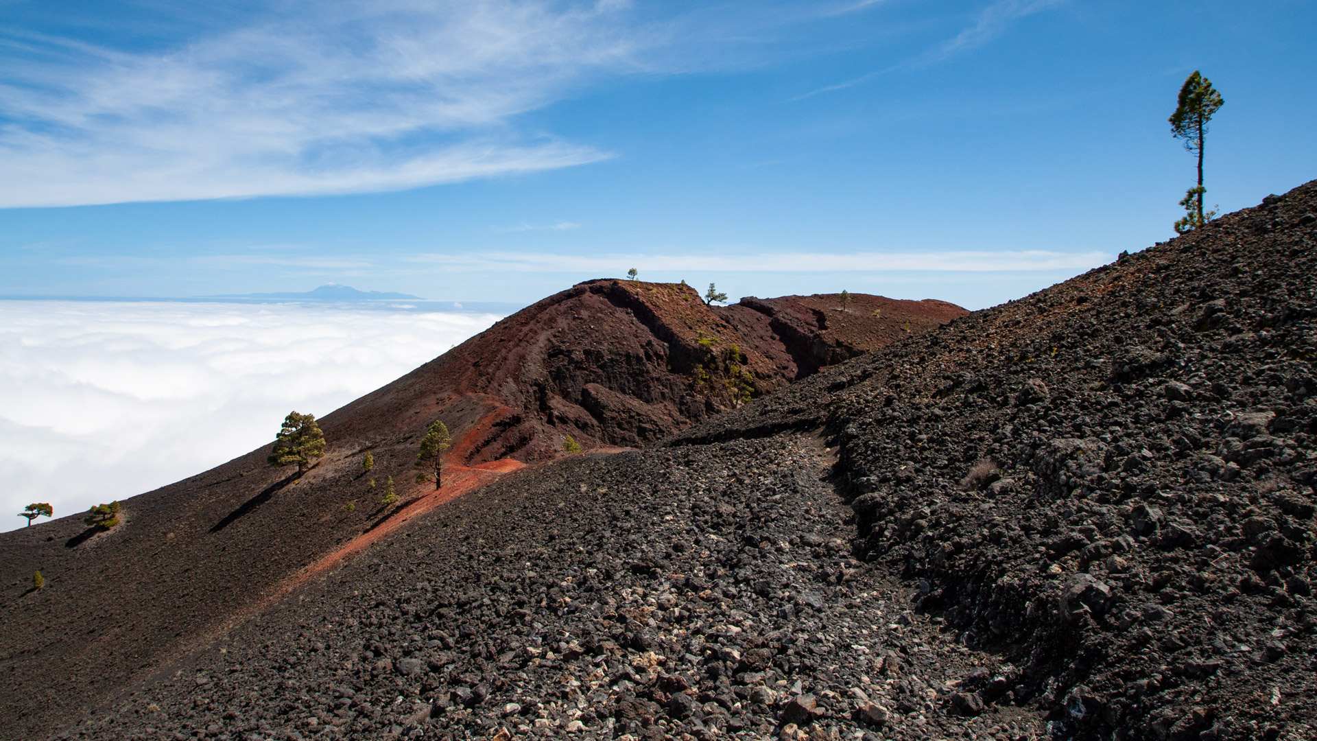
The route combines three distinct trail characters: a pine forest walk along the GR-131, a traverse of the Montaña Pelada flank on the SL-LP 110, and a steep climb through loose black lapilli on the SL-LP 111. Reaching the crater rim rewards you with spectacular views over the glowing red volcanic cone, with clear conditions reaching as far as Tenerife and La Gomera.
Starting point: the Fuente de los Roques barbecue and picnic area. This lies along the descent route of the Ruta de los Volcanes from the Cumbre Vieja to Fuencaliente — well known as one of the shaded rest stops on the great volcano trail.
Route Facts at a Glance
| Trail Type | Circular Walk |
|---|---|
| Distance | 10.2 km |
| Ascent/Descent | 552 m ascent / 554 m descent |
| Highest Point | 1,576 m (Volcán Martín crater rim: 1,591 m) |
| Lowest Point | 1,093 m (Fuente de los Roques) |
| Duration | 4:30 – 5:30 hours |
| Difficulty | Moderate (3 trail markers, strenuous climb over loose lapilli) |
| Start Point | Fuente de los Roques picnic area, Cumbre Vieja Natural Park |
| Trail Marking | GR-131 (red-white) | SL-LP 110 (green-white) | SL-LP 111 (green-white) |
| Protected Status | Cumbre Vieja Natural Park |
| Equipment | Water, food, sturdy footwear, sun protection, waterproof layer, windproof layer |
Getting There
The Fuente de los Roques picnic area is located within the Cumbre Vieja Natural Park, accessible via the LP-301 from El Paso or from Fuencaliente. Car park available at the picnic area. The area is well known as a starting point for several walks and is also passed by the Ruta de los Volcanes.
The Route in Detail
GR-131 Uphill to the SL-LP 110 Junction
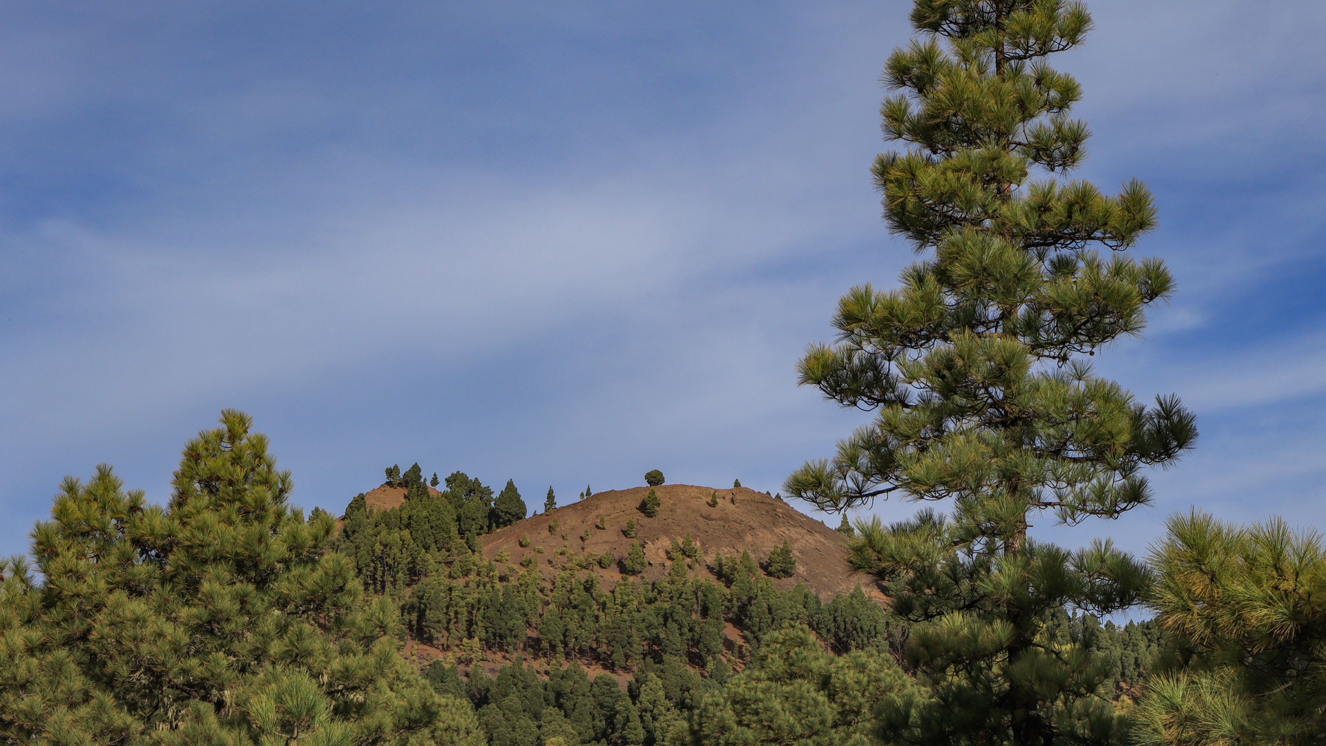
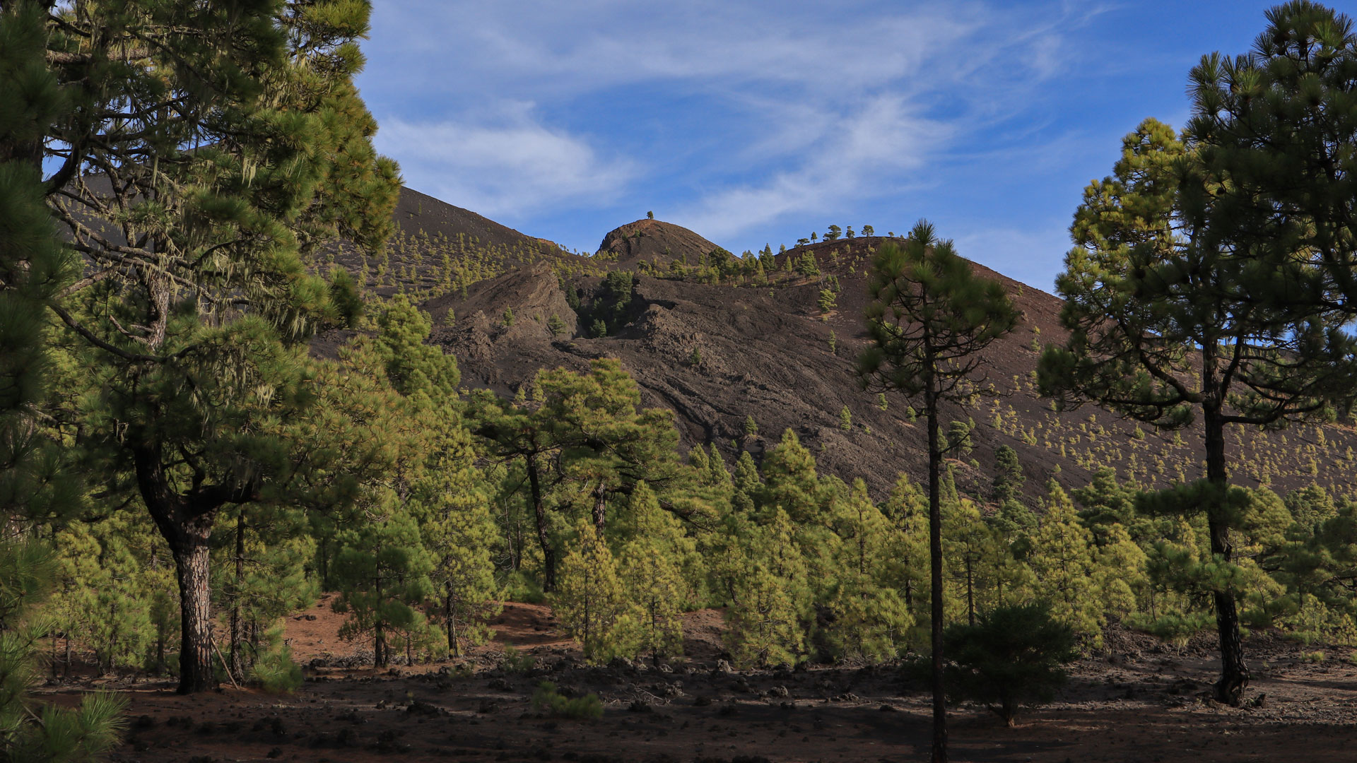
A brief, steep spur leads from the picnic area up to the GR-131 (red-white). Then bear right and climb uphill through open pine forest. Gentle ups and downs past Montaña del Fuego through a volcanic landscape colonised by Canarian pines. First views of Montaña Pelada and Volcán Martín. In a dip: a trail junction. Leave the GR-131 here and turn left onto the SL-LP 110 (signposted: Vereda de Las Cabras – Fuente del Tión).
SL-LP 110 Across the Flank of Montaña Pelada
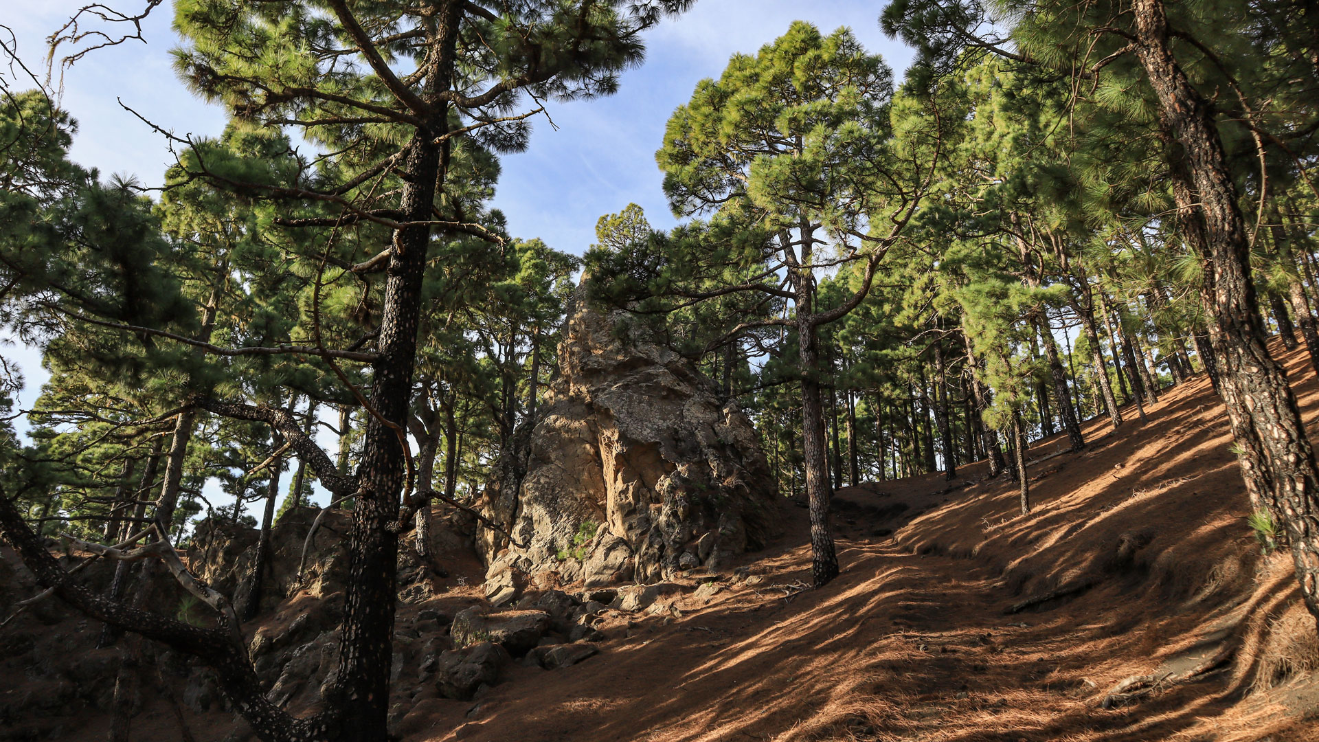
Narrow paths lead along the flank of Montaña Pelada through pine forest. Cross an open lapilli area with no tree cover, then a wide right-hand bend climbs gently uphill through pine forest. After a dirt track: junction with the SL-LP 111. Optional detour to Fuente del Tión (200 m) — a locked water shaft, once used as a cattle trough. Then follow the SL-LP 111 (green-white) uphill towards the Ruta de los Volcanes.
SL-LP 111: Ascent Through Black Lapilli to Volcán Martín
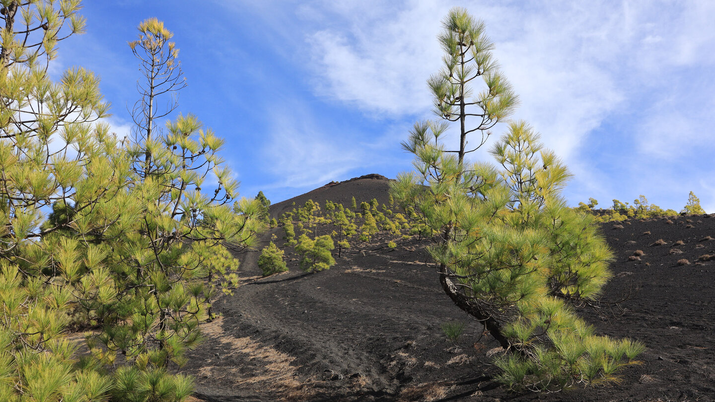
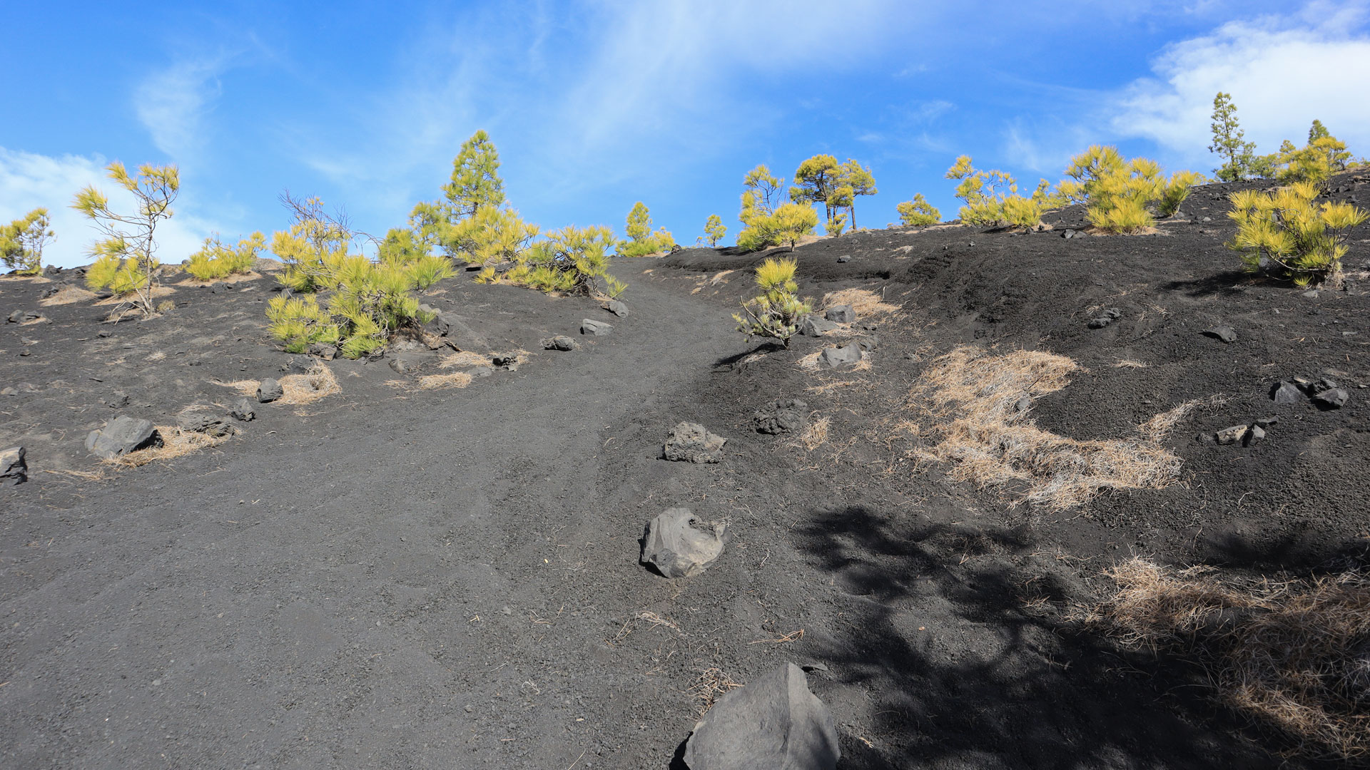
The ascent through loose black lapilli is the most demanding stretch: you sink slightly with every step as the ground gives way beneath you. On hot days this is extremely tiring. Past scattered small pines, you reach the barren black volcanic landscape at Volcán Martín. The SL-LP 111 joins the GR-131 on the western flank of Martín. Follow this section slightly further uphill to the crater turn-off.
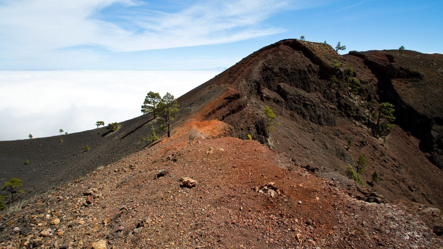
Summit of Volcán Martín de Tigalate (1,591 m): a strikingly red volcanic cone rising spectacularly from the black lapilli fields. The Fuente del Fuego spring lies in a volcanic cave on the northern crater — but only flows after prolonged rainfall, so it is not a reliable water source on the route. Panorama in clear conditions: the southern tip of La Palma, Tenerife, La Gomera.
Return via GR-131 and SL-LP 110 to the Picnic Area
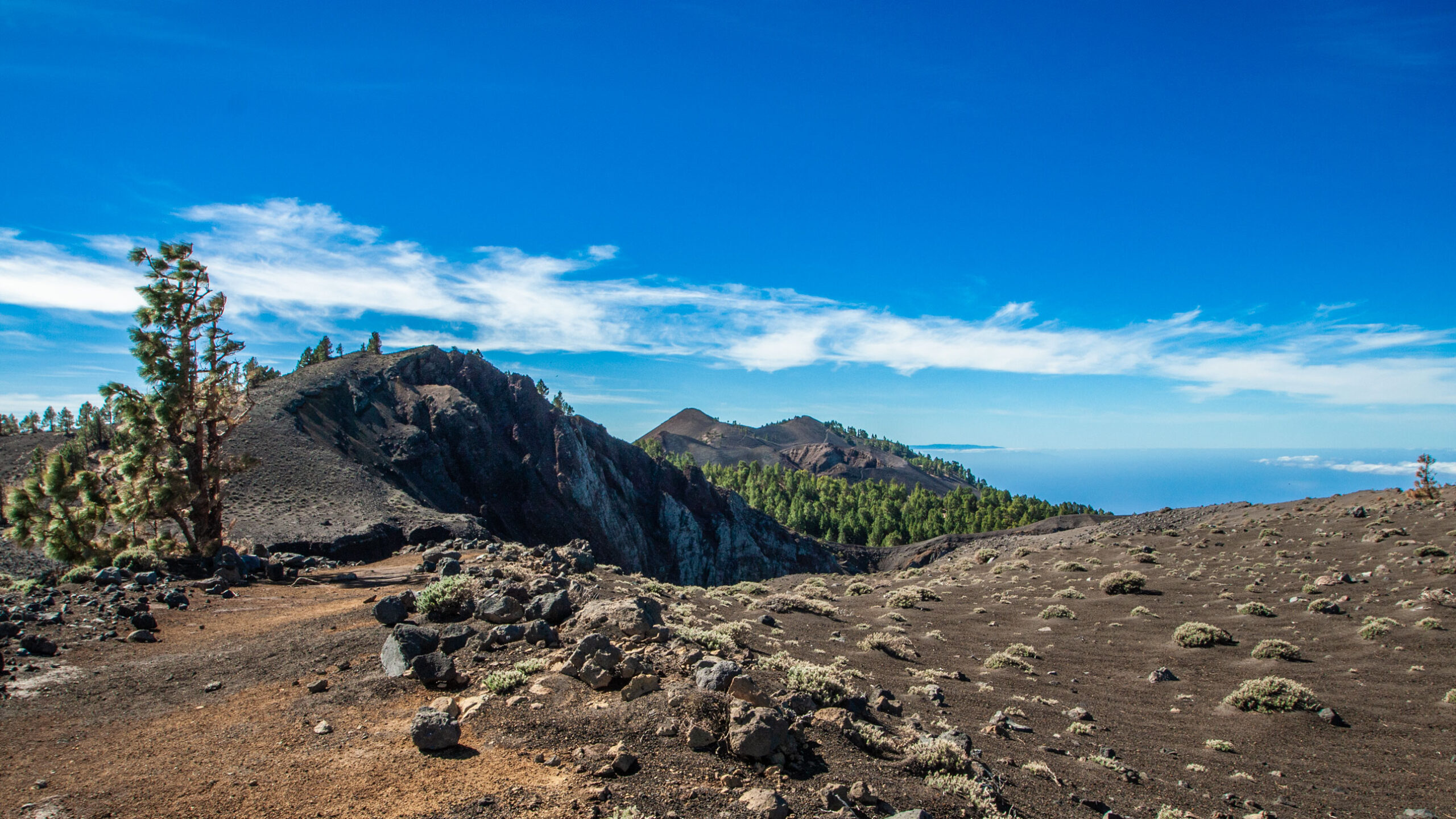
Descend along the GR-131 through a stark, black volcanic landscape. The terrain is loose and slippery in places with steep downhill stretches. On your left, you’ll spot the volcano’s lower vent, lava tunnels and deep channels on the east flank. Pine forest zone, then two sharp hairpin bends on the eastern side of Montaña Pelada. Back at the familiar SL-LP 110 junction. Turn left: a relatively level path through the lower lava fields of Volcán Martín. Descend through open pine forest to the dirt track. Follow the forestry track to the right, past lava surfaces, then a track leads back to Fuente de los Roques — the starting point, 500 m ahead.
Volcán Martín: Geology and History
Volcán Martín de Tigalate is one of the southernmost and best-preserved volcanic cones of the Cumbre Vieja. Its name refers to a historical landowner of this region. The striking red hue of the cone stems from the oxidation of iron-rich basalt — a visual feature that sets it apart from the black scoria cones of its neighbours to the north.
The lava tunnels and deep channels on the east flank — clearly visible on the return route — are among the most extensive lava channel systems of the Cumbre Vieja. In historic eruptions, lava flows made their way to the coast through these channels. Similar systems exist on the western side, where the 2021 Tajogaite lava reached the sea through such channels.
Best Time to Visit
| Season | Character | Note |
|---|---|---|
| Spring (March–May) | Pine forest fresh, long-distance views clear | Optimal conditions |
| Summer (June–Aug) | Lapilli ascent very hot | Early start; high water intake |
| Autumn (Sept–Nov) | Best light for the red crater | Most popular season |
| Winter (Dec–Feb) | Cool; wind exposure on the ridge | Bring a windproof layer |
Accommodation: El Paso and Los Llanos — Clariso
The Fuente de los Roques picnic area lies between El Paso and Fuencaliente. Holiday cottages in El Paso via clariso.eu — Holiday Cottages El Paso. Properties such as the Villas las Cercas in Las Manchas offer direct views of the Tajogaite volcano.
Combining with Other Walks
Fuente de los Roques lies at the southern end of the Ruta de los Volcanes. Those who head straight up to the Ruta from here, or spend a day on the shorter Volcán Martín loop, can combine it perfectly with:
| Tour | Details | Character |
|---|---|---|
| Ruta de los Volcanes | 18.7 km, strenuous | The great volcano trail — Fuente de los Roques as the junction point |
| Circular Walk to Pico Birigoyo | 5.1 km, moderate | Short Cumbre Vieja circuit on the following day |
| Tajogaite excursion from Fuencaliente | variable | Trip to the crater of the 2021 volcano |
GPS Track and 3D Route Planner
Three trail markers make a GPS track essential. The junctions from SL-LP 110 onto SL-LP 111 and the return fork at the lower eruption centre are particularly important to have marked on your track. Using the free 3D route planner, the walk can be combined with the Ruta de los Volcanes into a full day’s outing — directly in your browser, no app required.
Route page on Sunhikes: Loop Hike Fuente de los Roques to Volcán Martín
3D Route Planner by Sunhikes — customise and combine the route
Practical Tips
Emergency number 112. The lapilli ascent on the SL-LP 111 takes a disproportionate amount of energy — slow your pace and plan short breaks. Download the GPS track for the three trail marker junctions. No water source along the route (Fuente del Tión usually runs dry).
Note: Natural Park
The route lies entirely within the Cumbre Vieja Natural Park. Keep to the paths, take all rubbish with you, and observe the fire ban.
Frequently Asked Questions
What is the Fuente del Fuego?
What makes the lapilli ascent so demanding?
Fuente de los Roques: the Picnic Area at the Southern End of the Route
The Fuente de los Roques picnic area sits amid dense pine forests within the Cumbre Vieja Natural Park and is well known as a descent point on the Ruta de los Volcanes — hikers tackling the great volcano trail from El Pilar to Fuencaliente pass through this area between Volcán Martín and Fuencaliente. The picnic area offers picnic tables, barbecue grills and shade — a genuine comfort stop in a natural park that otherwise offers little of the sort.
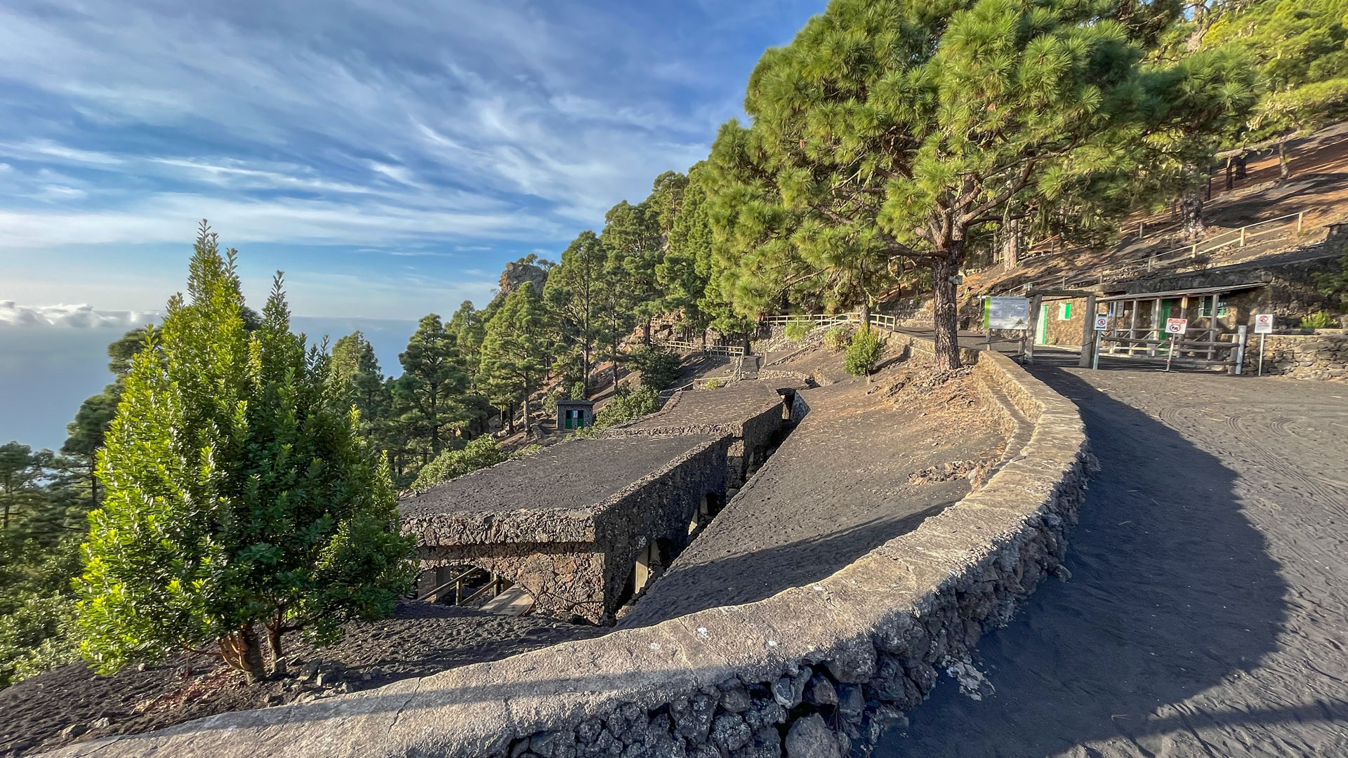
The GR-131 passes directly by Fuente de los Roques — which makes this starting point attractive for several circular walks. If you use the Volcán Martín loop as a warm-up and still have energy in the tank can head straight onto the Ruta de los Volcanes towards Deseada or Fuencaliente. Fuente de los Roques is therefore not a tourist endpoint but a through-point in the best sense of the word.
Lava Tunnels and Channel Systems on the East Flank
On the return along the GR-131 below Volcán Martín, you can see the lava tunnels and deep channels on the east flank to your left. These channel systems formed when lava from historical eruptions continued flowing through already-cooled outer layers, leaving tunnels behind. The visible openings and collapses in the tunnel structures are direct entry points into the interior of the mountain — dark, cool and smelling of volcanic rock.
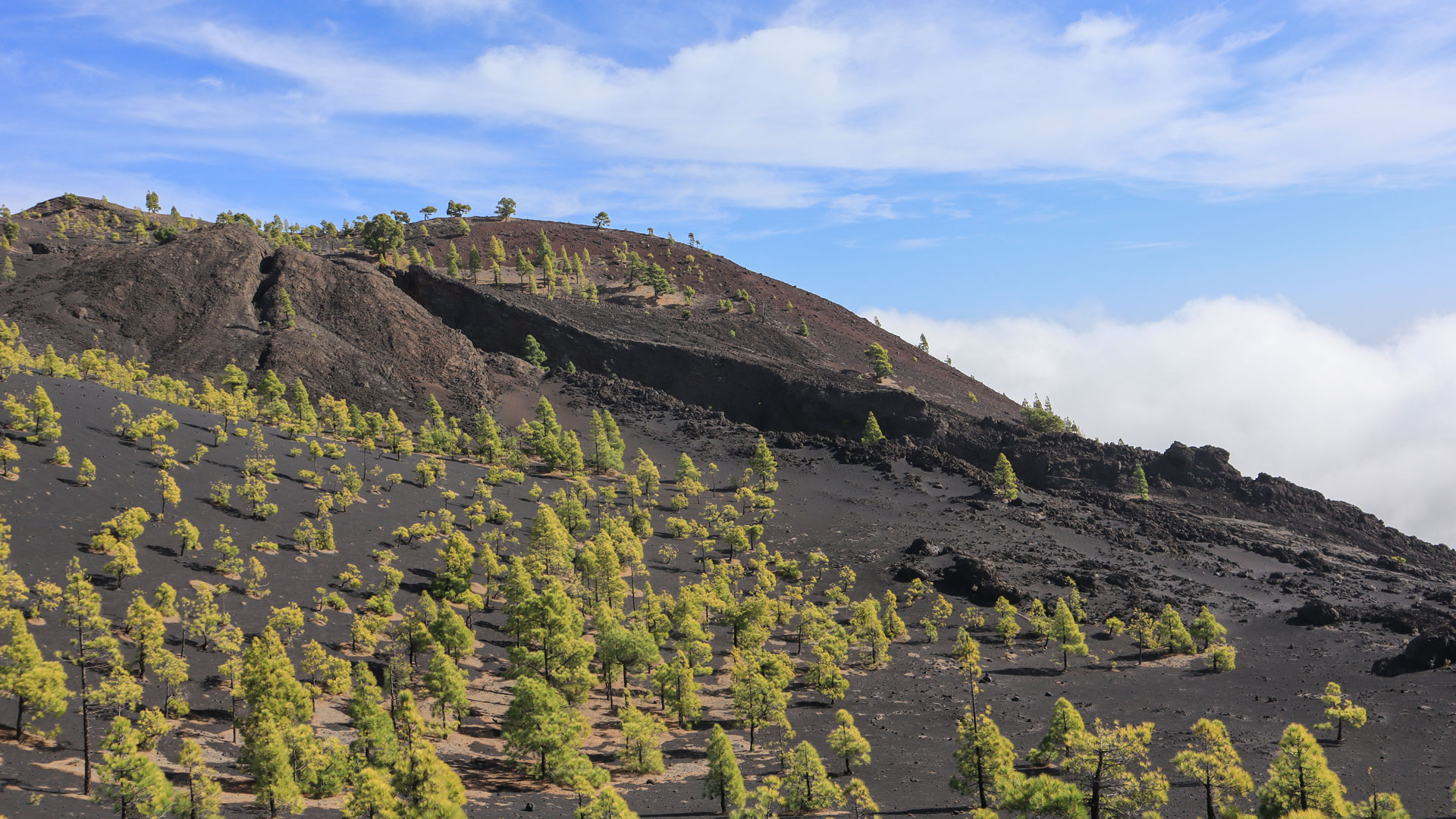
For walkers who know the Ruta de los Volcanes, the Volcán Martín loop makes a perfect half-day add-on: you explore the southern end of the volcanic chain on a compact circuit without needing the full stamina of the great trail. The black lapilli fields around Martín feel different when walked during the day on their own — quieter, with time to look around rather than simply pressing on.
A detail that geology enthusiasts will appreciate: the red colour of Martín’s volcanic cone is created by the oxidation of iron compounds in the basalt at high temperatures. The same chemistry that makes rust red makes volcanic cones red. The black lapilli fields surrounding it were formed by the same magma — but in a different cooling environment. Colour telling the story of thermal cooling: this is volcanic geology in its most tangible form.
This article is based on the on-the-ground knowledge of the Gequo editorial team – publishers of the Reisezeit hiking guides and operators of Sunhikes.com. Last updated: May 2026


