
Hike Franceses – La Fajana – El Tablado on the GR-130
The hike from Franceses via La Fajana to El Tablado follows the GR-130, the Camino Real de la Costa, La Palma’s historic coastal path. The tour leads through the impressive Barranco de los Hombres gorge to the remote coastal town of La Fajana – in the Guelguén nature reserve with lush vegetation and rare plant species.
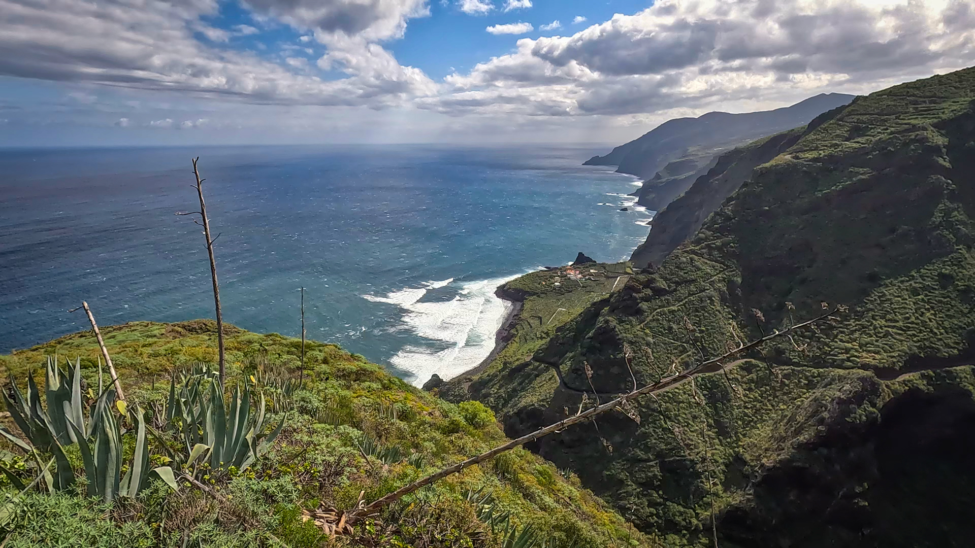
Franceses and El Tablado are two of the most characteristic places on the north coast of La Palma: small hamlets on mountain ridges between deep gorges, only accessible via old caminos or narrow cul-de-sacs. La Fajana is in between, right on the coast. This route connects all three places through the island’s wildest coastal landscape.
How to get there: Franceses via the LP-1, exit via the LP-110 to the Los Machines district. El Tablado also via LP-1, exit near Roque del Faro. Since the start and destination are different, either a second car or a return trip by taxi/bus (lines 120 and 126).
Route Facts at a Glance
| Route type | One-way route (Franceses → La Fajana → El Tablado) |
|---|---|
| Distance | 11.8 km (GR-130 section) |
| Elevation | 964 m ascent / 963 m descent |
| Duration | 5 – 6 hours |
| Difficulty | strenuous (ravine crossings, sure-footed) |
| Starting point | Franceses, LP-110 — LP-1 junction |
| End point | El Tablado, LP-1 junction near Roque del Faro |
| Trail marking | GR-130 (red-white) |
| Protected area | Guelguén Nature Reserve |
| Equipment | water, provisions, sturdy footwear, sun protection, rain protection, windproof jacket |
Getting There
By car: Franceses via the LP-1, exit LP-110 towards Los Machines. El Tablado via the LP-1, exit onto a narrow paved side road near Roque del Faro. By bus: Line 120 connects Barlovento with Puntagorda; Line 126 serves El Tablado from Puntagorda.
The Route in Detail
Franceses through terraced farmland and first gorges
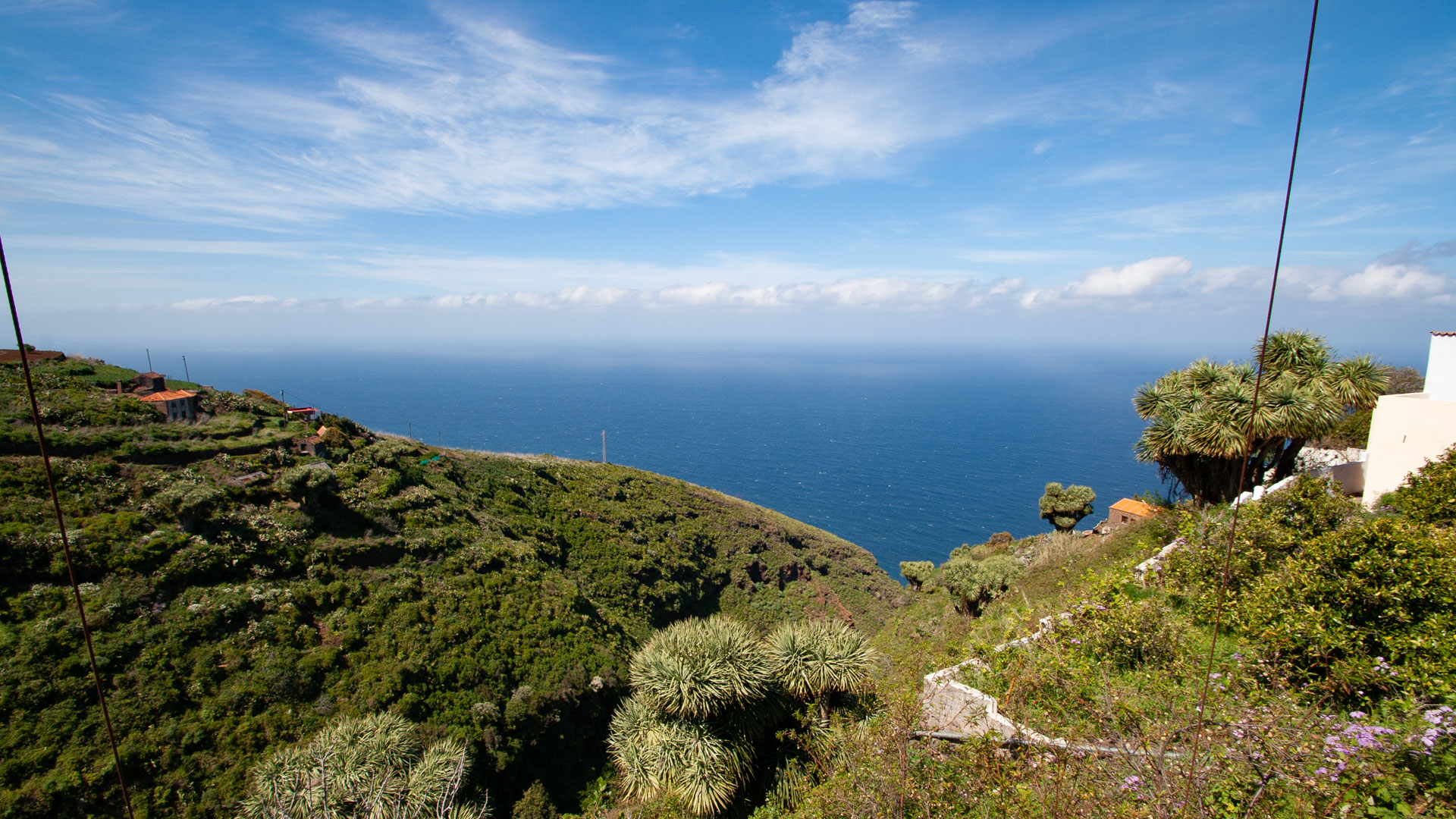
The GR-130 leads from Franceses through the terraced farmland of the north coast. Several smaller gorges are crossed. The vegetation changes characteristically: on the dry mountain ridges spurge plants and agaves, in the moist ravine depths laurel forest vegetation. This change of vegetation in each gorge is the botanical theme of the entire route.
Barranco de los Hombres and La Fajana
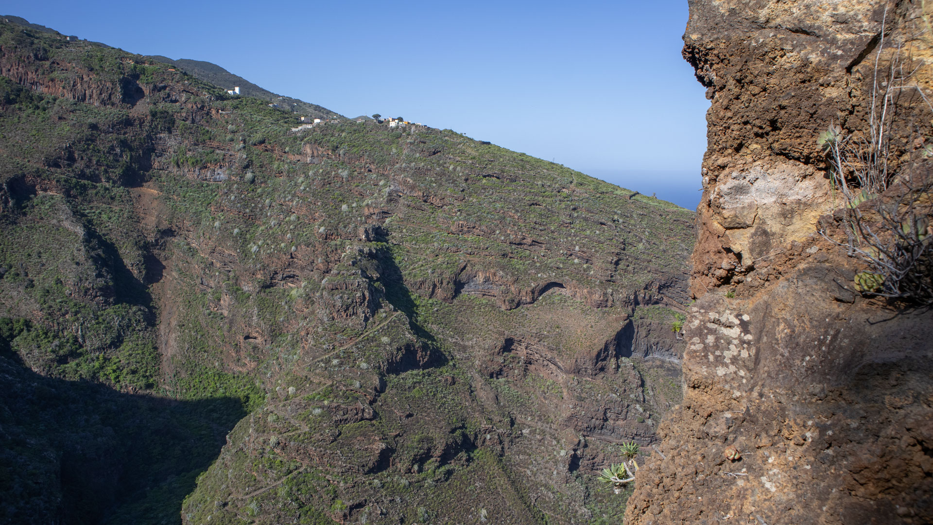
The impressive Barranco de los Hombres gorge is the highlight of the tour: almost vertical walls, deeply cut, with a view of the cliffs and the remote coastal town of La Fajana. The descent into the gorge and the climb up the other side are the most strenuous sections. La Fajana is located directly at the mouth of the gorge on the coast – one of the most remote inhabited settlements in La Palma.
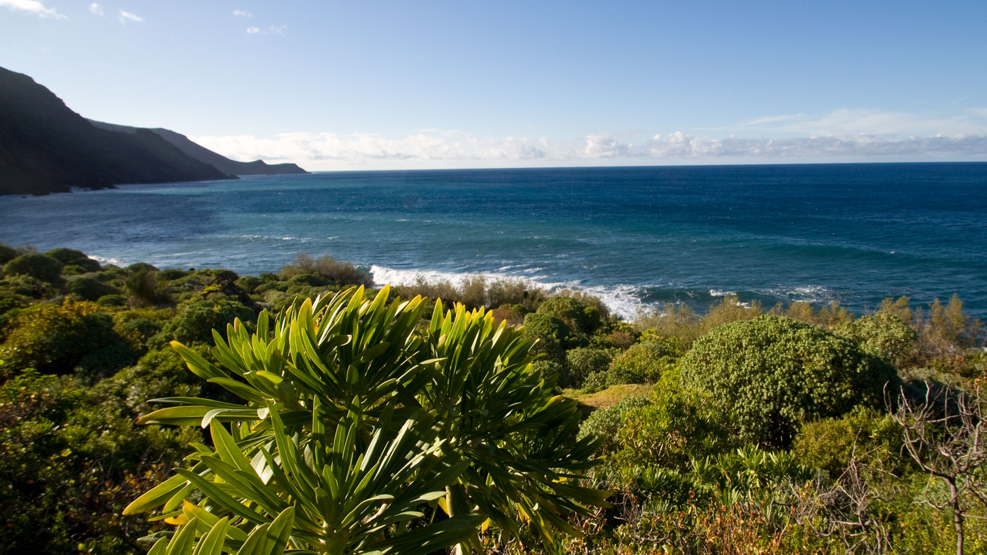
La Fajana: Few houses, hardly any infrastructure, the sea right in front of it. Anyone who visits Fajana enters one of the last truly isolated coastal towns on the island. Plan to take a break here – the climb afterwards is long.
Guelguén nature reserve and climb to El Tablado
One of the most species-rich coastal flora in La Palma grows in the Guelguén nature reserve. Rare plant species, laurel forest enclaves and birds of prey characterize this section. The final climb to El Tablado leads to the ridge between two gorges – from which a wide view of the north coast opens up.
La Fajana: The Loneliest Coastal Town on the North Coast
La Fajana is not a tourist attraction, but a lively but remote residential area. The houses were built directly into the rock formation, the coast in front of it is rocky and unprotected. The name La Fajana comes from the Spanish faja (English band, strip) and describes the narrow coastal zone on which the settlement is located.
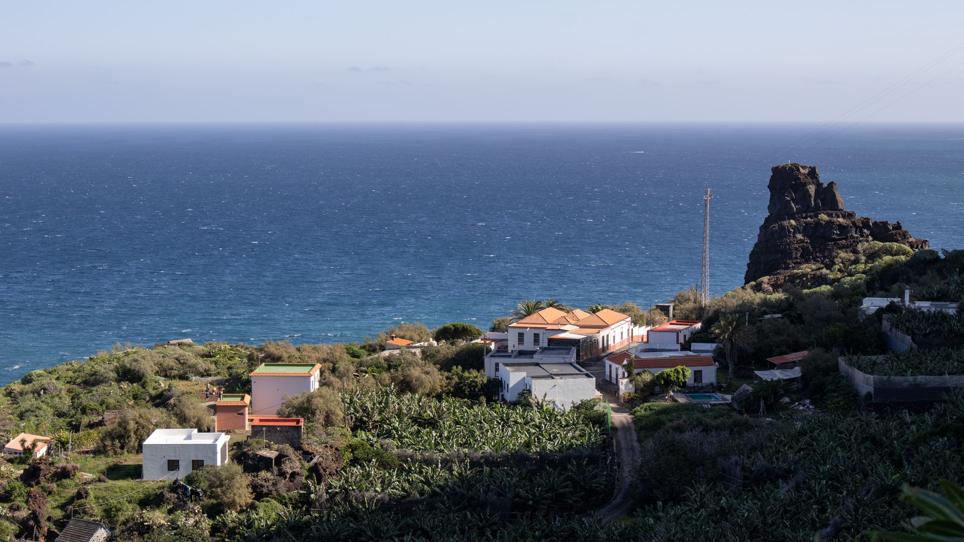
The cliffs above La Fajana – on which you hike – offer a perspective that cannot be experienced so completely from any other point on the north coast: you can see the entire north coast silhouette, the deep gorges, the small hamlets on the mountain ridges. This is the picture of the north coast of La Palma that most vacationers never see.
Franceses and El Tablado: Villages at the End of the World
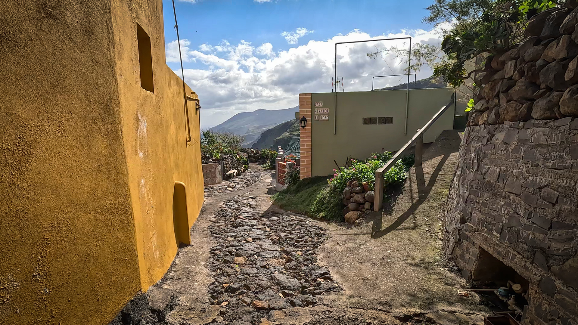
Franceses sits on a ridge between two gorges on the north coast – a hamlet of traditional stone houses and terraced gardens. El Tablado, the destination, is similar: small, on a ridge, between two ravines (Barranco Fagundo and Barranco de los Hombres). Both places are connected by the old GR-130, which leads in this region over the most impressive gorge crossings of the entire coastal route.
Best Travel Time
| Season | Character | Note |
|---|---|---|
| Spring (March–May) | Vegetation lush green, ravines rich in water | Optimal conditions |
| Summer (June–Aug) | Cool in the canyons | Early start; Gorge sections shady |
| Autumn (Sept–Nov) | North trade wind active, clear visibility | Most popular season; Wind on ridges |
| Winter (Dec-Feb) | Rain possible; Paths slippery | Gorge descents challenging after rain |
Accommodation: Garafía — Clariso
El Tablado is located in the municipality of Garafía. Holiday homes in Garafía on clariso.eu — Holiday homes Garafía. Casa Julia is located in Las Tricias right on the edge of the Barranco de Izcaqua – ideal base for north coast hikes.
Combinable Tours
This route is part of the GR-130. If you want to explore the north coast in several stages, combine Franceses–La Fajana–El Tablado with the neighboring stages:
| Tour | Data | Character |
|---|---|---|
| El Tablado → Gallegos GR-130 | 9.4 km, difficult | Western neighboring stage from El Tablado |
| Mirador de la Tosca → Gallegos | 9.8 km, moderate | Eastern GR-130 stage |
| PR-LP 9: Los Andenes → Santo Domingo de Garafía | 18.3 km, difficult | Big descent from the ridge into the Village |
GPS Track and 3D Route Planner
A GPS track is essential for this route tour with different start and end points. The GR-130 is well marked, but the transitions between the cultural landscape and the gorge path are difficult to identify without a track. With the free 3D route planner, the route can be combined with other GR-130 stages to form a coastal tour lasting several days – directly in the browser, without an app.
To the route page on Sunhikes: Hike Franceses – La Fajana – El Tablado
3D route planner from Sunhikes – customize and combine routes
Practical Tips
Emergency call 112. Coordinate the return trip from El Tablado in advance. Line 126 goes to El Tablado — timetable on tilp.es. No place to stop for refreshments on the route. La Fajana does not offer a shop or restaurant – take a break with your own provisions.
Note: Nature Conservation
Parts of the route in the Guelguén Nature Reserve. Directions, waste collection.
Frequently Asked Questions
What is the Guelguén Nature Reserve?
The GR-130 Camino Real: Coastal Path with History
The GR-130 Camino Real de la Costa y Medianías is the historic coastal path that circles La Palma in eight stages. It follows the ancient Caminos Reales — the royal paths that connected the island’s communities since Spanish colonization in the 16th century. On this route, traders transported goods between towns, shepherds took their flocks, and pilgrims travelled to pilgrimage churches. The Franceses–La Fajana–El Tablado route is one of the most original sections of this historic connection.
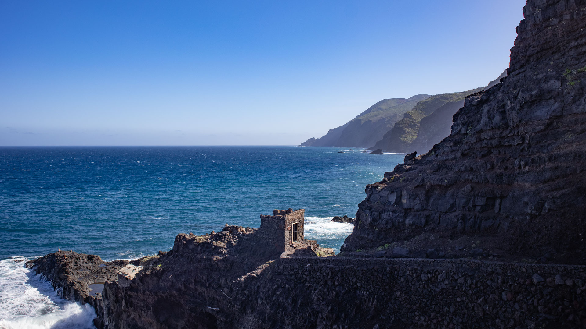
Franceses is a small hamlet with traditional stone houses and terraced gardens. The name refers to French settlers who farmed the land here in the 18th or 19th century. Today hardly any people live there permanently – the terraced gardens are partly overgrown, the old houses partly renovated, partly abandoned. The hamlet is a silent witness to the settlement history of the north coast.
Guelguén Nature Reserve: Species Richness of the Cliffs
The Guelguén nature reserve protects one of the most species-rich coastal sections of the north coast of La Palma. The combination of a humid northern trade wind climate, deep gorges with laurel forest enclaves and open cliffs with spurge plants creates an extraordinary mosaic of species in a very small area. The transitions between the gorge floors and the dry mountain ridges are particularly botanically interesting: within a few hundred meters the vegetation changes completely.
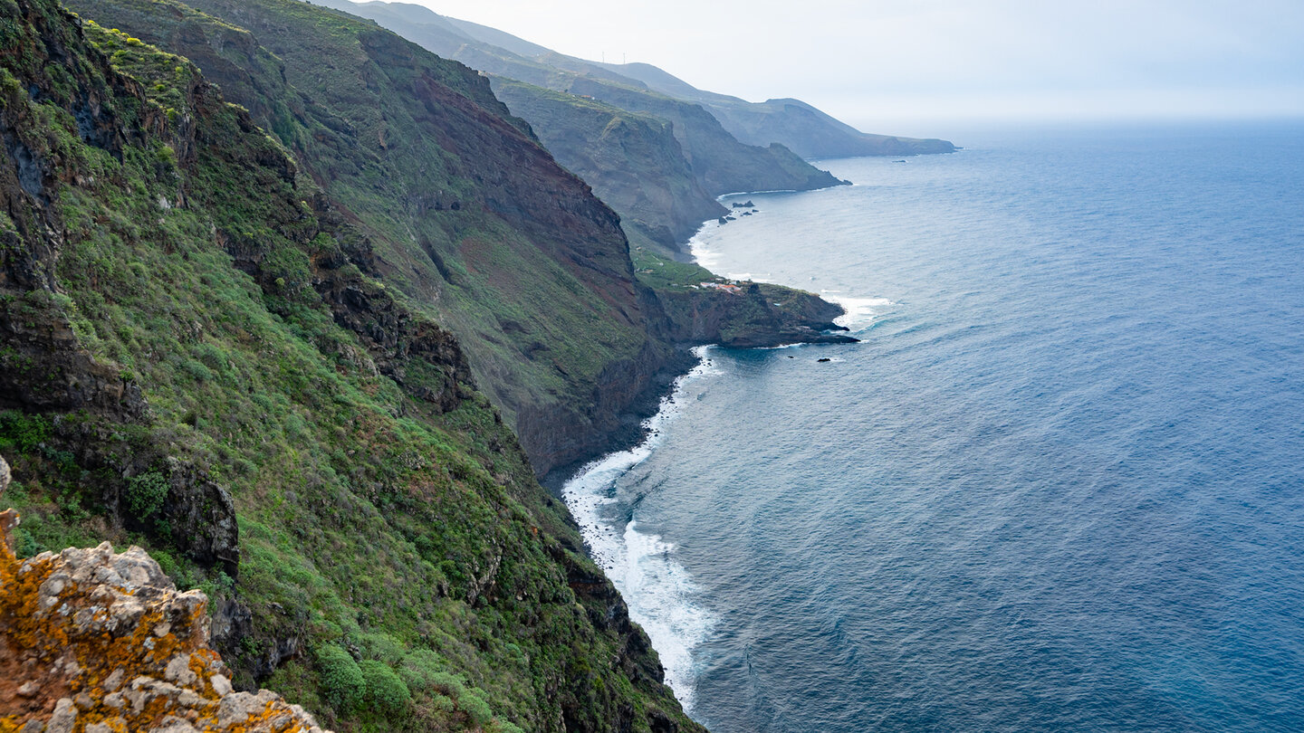
For hikers who stay on La Palma for several days, the north coast of the GR-130 is one of the most worthwhile multi-day routes. Franceses–La Fajana–El Tablado as stage 3, El Tablado–Gallegos as stage 4 and Gallegos–Mirador de la Tosca as stage 5 form three consecutive days with the most impressive gorges and coastal landscapes in La Palma. Accommodation in Garafía (Clariso) as a central base.
Important tip for La Fajana: The place is quietest in the early afternoon. Anyone who reaches the Fajana between 11 a.m. and 1 p.m. will experience it in full sunlight – the white houses, the blue sea, the black rocks. Early in the morning the place is often in the shadow of the steep walls. These lighting conditions decide which image you take away from La Fajana.
The section between La Fajana and El Tablado in the Guelguén Nature Reserve is botanically the richest part of the route. Rare endemics such as Canary Island spurge (Euphorbia canariensis) and various Echium species grow thickly here. Birds of prey — kestrels and common buzzards — circle over the ravine ridges. In spring: Tajinaste flowers in blue and purple. The section is short, but denser than the rest of the route.
For local hikers, this GR-130 section between Barlovento and Garafía is known as one of the wildest of the entire coastal route. Hardly any tourists, no infrastructure, no rescue station. Anyone who hikes here is on their own – and enjoys the absolutely unspoiled north coast of La Palma.
This article is based on the on-the-ground knowledge of the Gequo editorial team – publishers of the Reisezeit hiking guides and operators of Sunhikes.com. Last updated: May 2026


