
Hike from El Tablado to Santo Domingo de Garafía on the GR-130
The hike from El Tablado to Santo Domingo de Garafía is one of the most demanding and impressive GR-130 stages: 13.2 km, 1,084-metre ascent, 1,090-metre descent, difficult, taking 5:00–6:00 hrs. The route leads through the municipality of Garafía through impressive, deep gorges – in the Guelguén nature reserve, with rare plant and bird species in different vegetation zones.
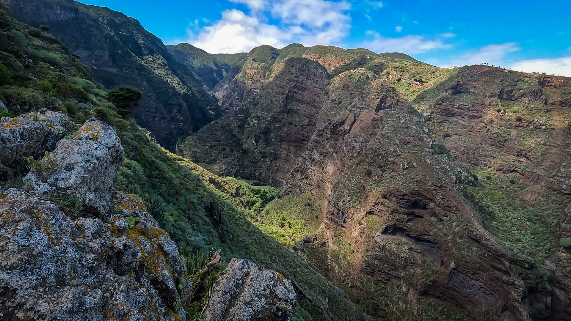
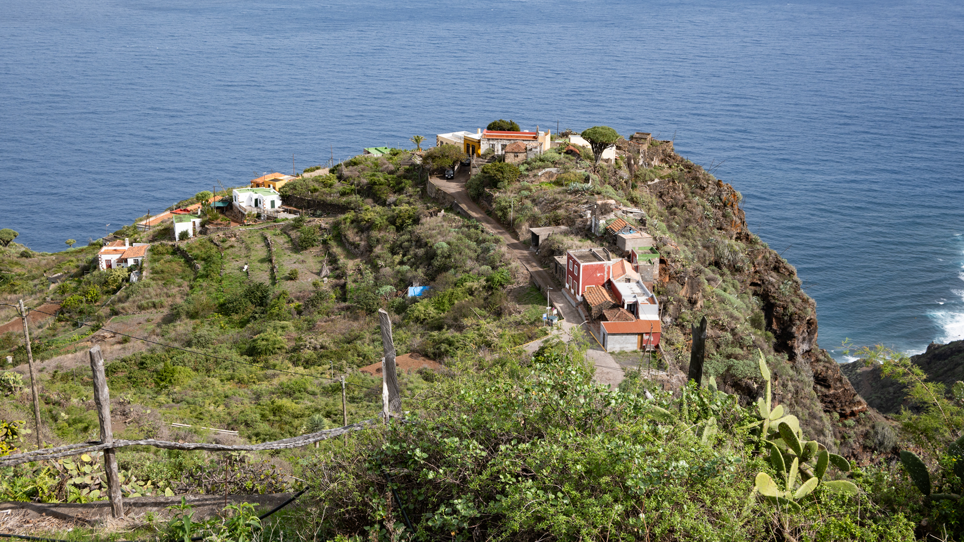
El Tablado, spectacularly located on a ridge between the Barranco de los Hombres and Barranco Fagundo gorges, is the starting point. The GR-130 leads immediately into the interior of the Barranco Fagundo gorge and then further west through Don Pedro, La Palmar and finally through the last large gorge, Barranco de la Luz (also called Barranco de los Sables) to Santo Domingo de Garafía.
Return: Taxi from Santo Domingo de Garafía or bus. Since Santo Domingo is in the extreme northwest, coordinate the return journey in advance.
Route Facts at a Glance
| Route type | One-way route (El Tablado → Santo Domingo de Garafía) |
|---|---|
| Distance | 13.2 km |
| Altitude | 1,084 m ascent / 1,090 m descent |
| Highest point | 585 m |
| Lowest point | 74 m |
| Duration | 5:00–6:00 hours |
| Difficulty | difficult (sure-footed, no fear of heights, 1,084 m, 13 km) |
| Starting point | El Tablado – LP-1 exit near Roque del Faro |
| End point | Santo Domingo de Garafía |
| Trail marking | GR-130 (red-white) | PR-LP 9.1 (yellow-white) |
| Protected area | Guelguén nature reserve |
| Equipment | Provisions, water, sturdy shoes, sun protection, rain protection, wind protection |
Getting There
El Tablado: LP-1, exit near Roque del Faro. Santo Domingo de Garafía: LP-1 Northwest. Return from Santo Domingo: Taxi or bus. Municipality of Garafía — return trip to Santa Cruz or Los Llanos approx. 60-90 minutes.
The Route in Detail
El Tablado to Barranco Fagundo
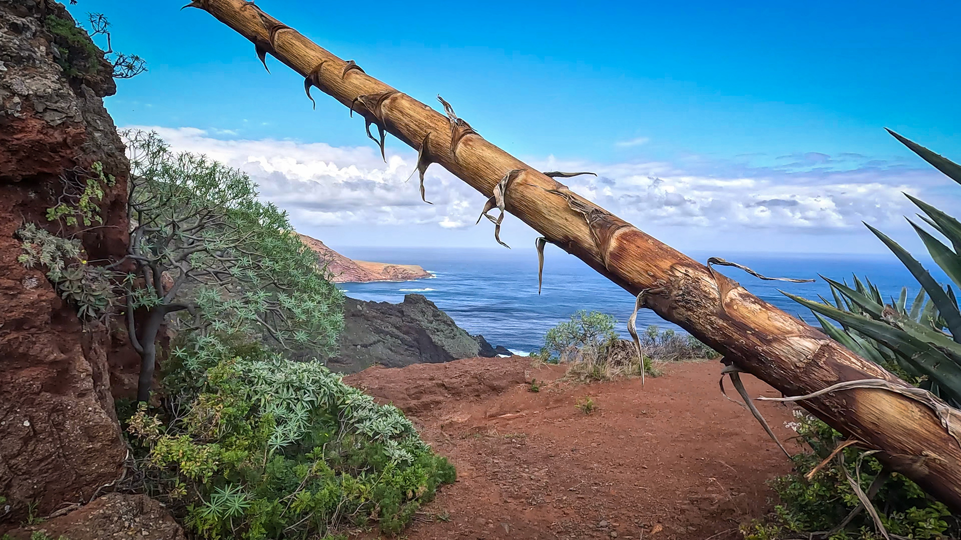
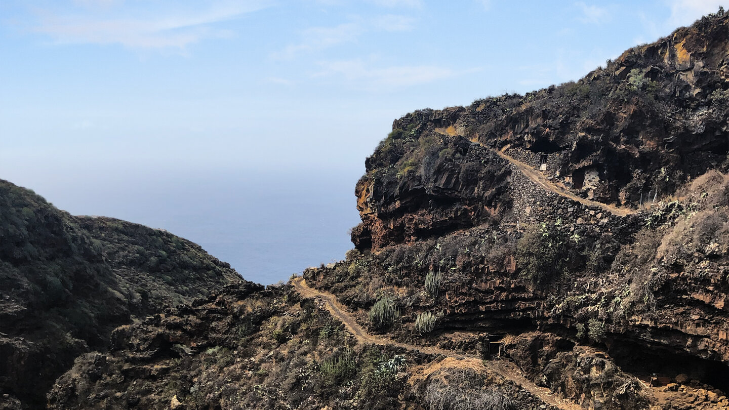
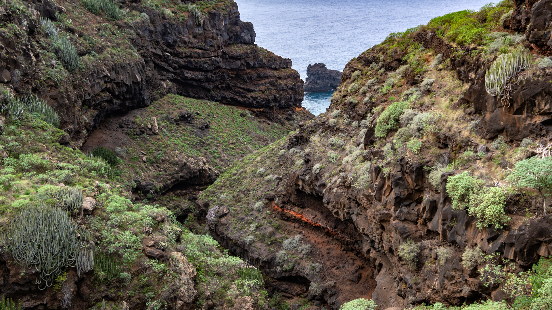
From the entrance to El Tablado, follow the PR-LP 9.1 (yellow-white) downhill through the town until you reach the GR-130 (red-white). The GR-130 leads down between small country houses and dragon trees to the steep cliffs of Barranco Fagundo. Shortly before the start: natural viewpoint with a view along the coast. Switchbacks wind down slippery paths through the steep cliff walls to the canyon floor. The dry slopes are covered with succulents and spurge plants.
Ascent from the Fagundo and Mirador La Calzada
From the Fagundo gorge up again – views into the gorge slopes where erosion has formed caves. After the hike: Mirador La Calzada viewpoint with panoramic views of El Tablado and the dividing Fagundo Gorge. Along a dirt track through farmland and isolated houses towards the west.
Don Pedro, La Palmar and the last gorges
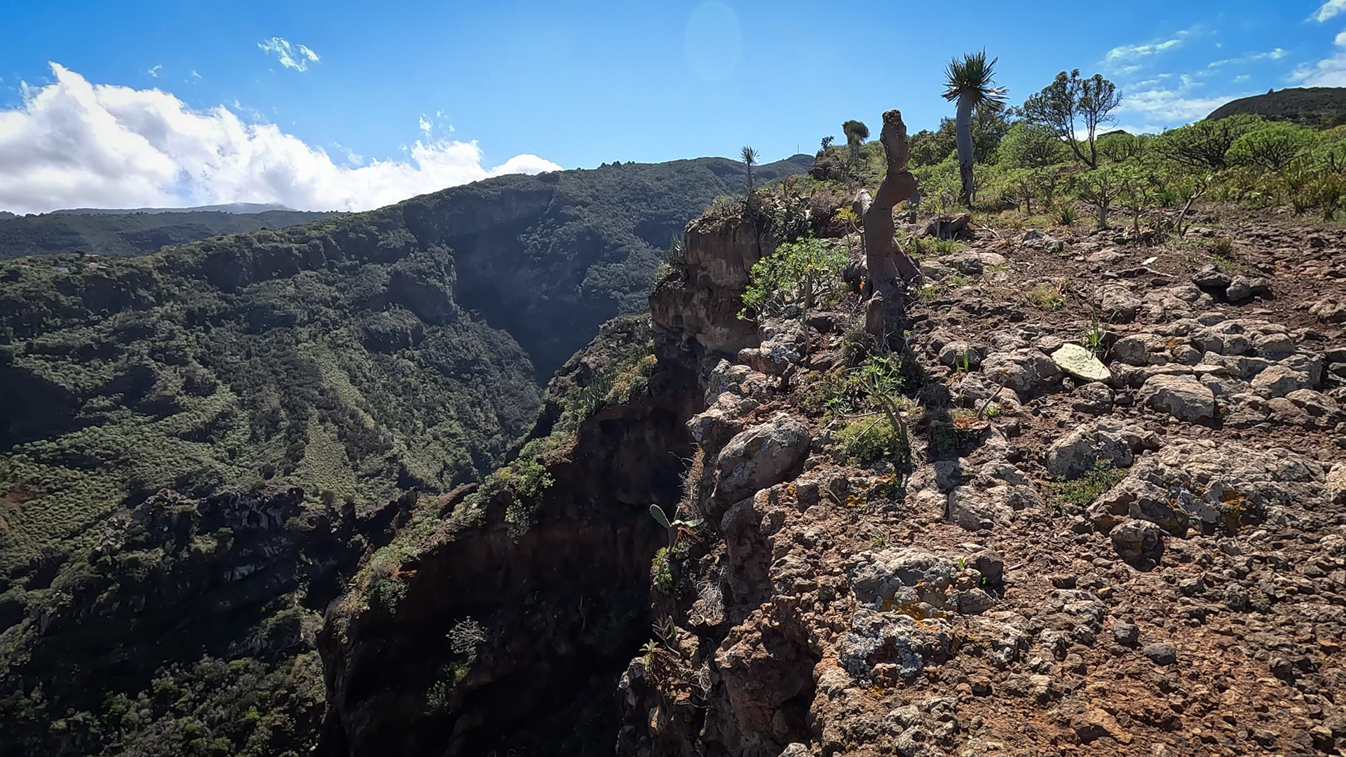
The tiny hamlet of Don Pedro: two small clusters of houses, separated by the Barranco el Pozo gorge, connected to the network via a narrow road. Continue on GR-130 through La Palmar. Small settlement of El Palmar with scattered houses, fruit and vegetable gardens. Then: edge of the last big gorge, Barranco de la Luz (also Barranco de los Sables).
Barranco de la Luz and Santo Domingo de Garafía
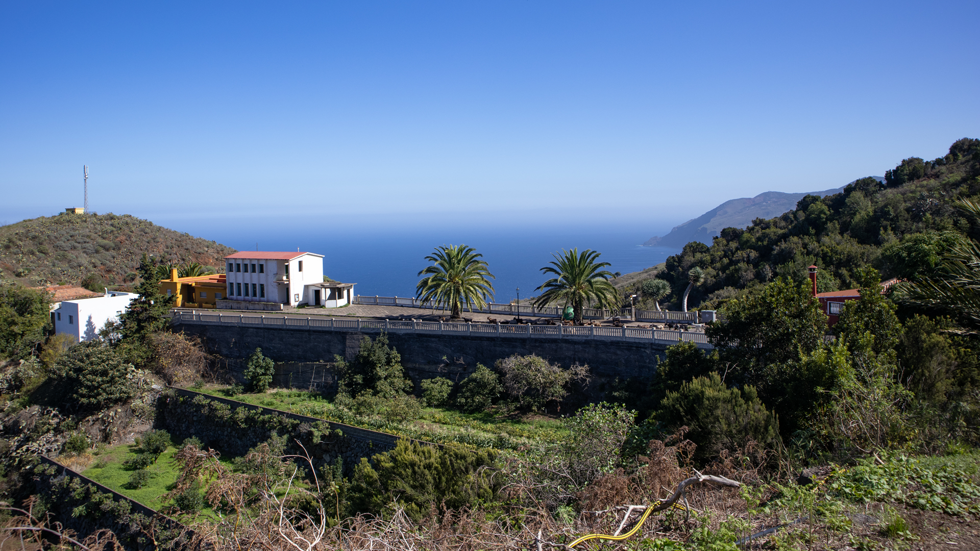
The path meanders again steeply over serpentines through the last large gorge. In the Barranco, numerous dragon trees thrive in front of the almost vertically sloping basalt walls. Caves and rock overhangs serve as cattle stables. Finally, Santo Domingo de Garafía — town centre with restaurants and bars near the Iglesia Nuestra Señora de La Luz. The finish is at 368 meters, deeper than El Tablado.
Garafía: The Wildest Municipality on La Palma
Garafía is the largest but sparsely populated municipality in La Palma in terms of area – around 1,700 inhabitants on 110 km². The northwest, through which this route leads, is the most untouched part of the island: little tourism infrastructure, old cultural landscapes, the deepest gorges on the north coast. Santo Domingo de Garafía is the administrative centre, with an imposing colonial church and a weekly market.
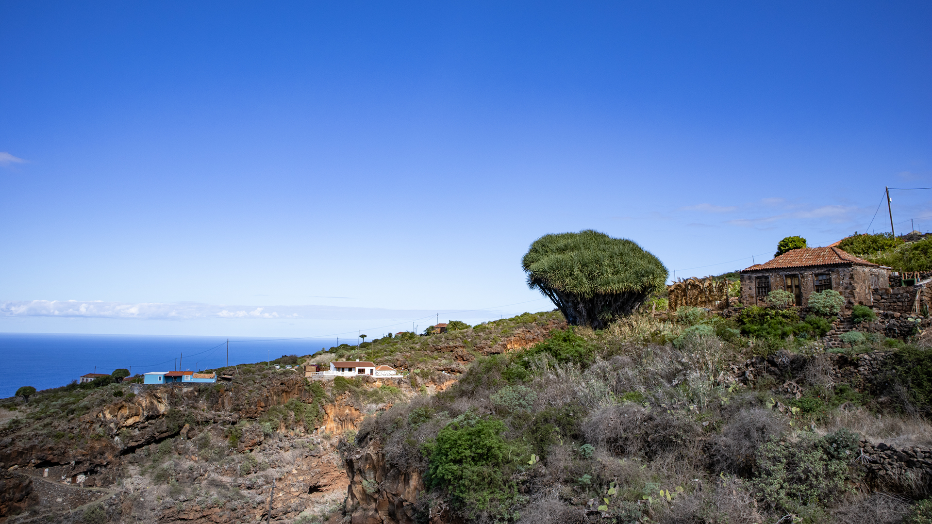
The route from El Tablado to Garafía is a cross section through the most original community in La Palma. The villages of Don Pedro and La Palmar, the Barranco de la Luz gorge with its dragon trees and cattle stable caves, the destination of Santo Domingo: This is Garafía as it always was – remote, strong and impressive.
Dragon Trees in the Barranco de la Luz
In the Barranco de la Luz in front of Santo Domingo there are numerous dragon trees (Dracaena draco) – some of them very old, powerful specimens. Garafía is known as the municipality with the largest wild dragon tree population on La Palma. These trees grow in the canyon edges and on rocky slopes where they are protected from grazing. The rock overhangs that are used as cattle stables are often lined with dragon trees.
Best Time to Visit
| Season | Character | Note |
|---|---|---|
| Spring (March-May) | Dragon trees fresh; Gorge vegetation green | Optimal conditions |
| Summer (June–Aug) | Cool in the gorges; hot on mountain ridges | Early start; lots of water |
| Autumn (Sept–Nov) | Best visibility; clear coastal views | Most popular season; Coordinate return trip |
| Winter (Dec–Feb) | Rain frequent; Paths slippery | Steep sections challenging after rain |
Accommodation: Garafía — Clariso
Santo Domingo de Garafía is the destination. Holiday homes in Garafía on clariso.eu — Holiday homes Garafía. Casa Micaela is located at an altitude of 492 m in Santo Domingo with a wide view of the Atlantic.
Combinable Hikes
El Tablado – Santo Domingo is the westernmost leg of the GR-130 in this area. As part of a multi-day north coast crossing:
| Tour | Data | Character |
|---|---|---|
| El Tablado to Gallegos | 9.4 km, difficult | Eastern GR-130 stage from El Tablado |
| Franceses – La Fajana – El Tablado | 12-15 km, difficult | Previous stage with arrival in El Tablado |
| PR-LP 9: Los Andenes → Santo Domingo | 18.3 km, difficult | ridge descent to Santo Domingo as an alternative |
GPS Track and 3D Route Planner
For 13 km with several gorge crossings and town passes, a GPS track is indispensable. The route through Don Pedro and La Palmar is particularly difficult to follow without a track. With the free 3D route planner you can put together the route with the return stage or the PR-LP 9 for the big Garafía circumnavigation – directly in the browser, without an app.
To the route page on Sunhikes: El Tablado – Santo Domingo de Garafía
3D route planner from Sunhikes – customize and combine routes
Practical Tips
Emergency call 112. 5-6 hours walking time: early start mandatory. Coordinate the return trip from Santo Domingo in advance. There are no cafes or places to buy refreshments between El Tablado and Santo Domingo. In Santo Domingo: Restaurants and bars at the destination.
Note: Nature Reserve
Parts of the route in the Guelguén Nature Reserve. Directions, waste collection.
Frequently Asked Questions
What is the Barranco de la Luz?
What awaits you in Santo Domingo de Garafía?
The Garafía Ravine Landscape: A Geological Peculiarity
Garafía is home to the deepest ravines in La Palma. The gorges that the El Tablado – Santo Domingo route crosses – Barranco Fagundo, Barranco de la Luz – have depths that are rarely reached on the rest of the island. These extreme cuts were created by the combination of hard basalt rock, which resists erosion, and soft tuff material, which erodes quickly. The geometry of the gorges – almost vertical, narrow, deep – is the hallmark of the north coast of Garafía.
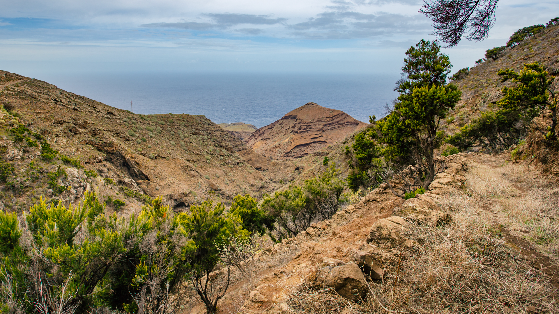
The Barranco de la Luz (Gorge of Light) gets its poetic name from the effect of sunlight within it: when the light falls sharply, the light basalt layers on the walls suddenly brighten, while the dark layers remain in shadow — a dramatic lighting effect that changes with the time of day. It is strongest in the late afternoon, when the light comes diagonally from the west.
Garafía — Goat Cheese, Petroglyphs and Viticulture
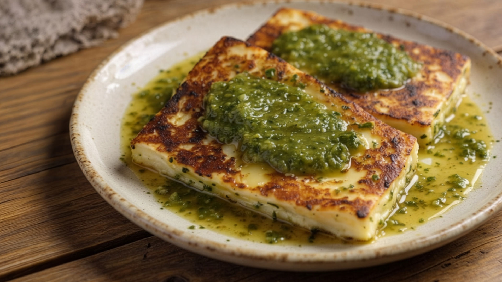
Santo Domingo de Garafía, the destination of this hike, is also a gateway to the richest cultural landscape in La Palma. Garafía is known for three things: the Queso de Garafía — one of the best goat cheeses in the world, with Protected Designation of Origin — the La Zarza Cultural Park with its Benahorita petroglyphs, and viticulture at higher altitudes. If you stop off at one of Santo Domingo’s restaurants after the hike, you should order the local cheese with mojo verde: that’s Garafía on your plate.
The El Tablado – Santo Domingo trail is a point-to-point hike — the start and end points are 50 km apart. If you don’t have a second car, organize a taxi from Santo Domingo to El Tablado in advance for the evening. Alternatively: Overnight stay in Santo Domingo (Garafía), next day with the PR-LP 9 back to the ridge or by bus to Los Llanos.
The Garafía goat cheese — Queso de Garafía — has its own protected designation of origin and is made from raw milk from local goat breeds. In Santo Domingo there are restaurants that have it as the first recommendation on the menu. After 5-6 hours through the gorges of Garafía, this cheese with mojo verde and fresh bread tastes different than anywhere else – this is the gastronomic finale of this hike.
This article is based on the on-the-ground knowledge of the Gequo editorial team – publishers of the Reisezeit hiking guides and operators of Sunhikes.com. Last updated: May 2026


