
GR-131 El Bastón Stage 2: Ruta de la Crestería — from Roque de los Muchachos to Refugio El Pilar
The second stage of the GR-131 El Bastón follows the Ruta de la Crestería – La Palma’s spectacular ridge trail: 26.1 km, 707 m ascent, 1,655 m descent, difficult, 9:00-11:30 hours. From the highest point on the island (Roque de los Muchachos, 2,426 m) via the Caldera ridge path through the national park, the Cumbre Nueva and the Cumbre Vieja to the Refugio El Pilar.
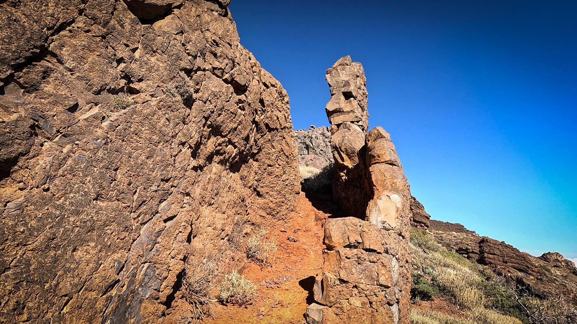
On this route: the observatory at Roque, the Fuente Nueva (2,366 m), the Pico de la Cruz (2,351 m), the Pico de la Nieve (2,239 m) and finally the high mountain panorama that extends over the entire ridge path. Alpine terrain, seas of clouds, views stretching all the way to Tenerife and El Hierro.
Starting point: Roque de los Muchachos, LP-4. End point: Refugio El Pilar Recreational Area, LP-301. Arrange your return transport in advance, as the start and end points are a 45-minute drive apart.
Route facts at a glance
Directions and logistics
Roque de los Muchachos: LP-4 — High Road National Park. Easily accessible from Santa Cruz (45 min.) and El Paso (45 min.). Refugio El Pilar: LP-301, easily accessible. Return from El Pilar to Roque: taxi or second car. An early start is essential, given the 9–11 hour walking time, alpine terrain.
The route in detail
Roque de los Muchachos to Fuente Nueva (km 0-4)
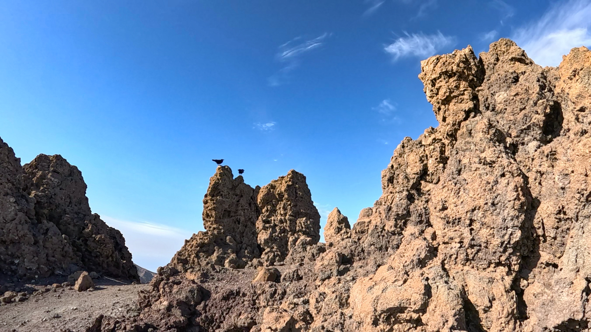
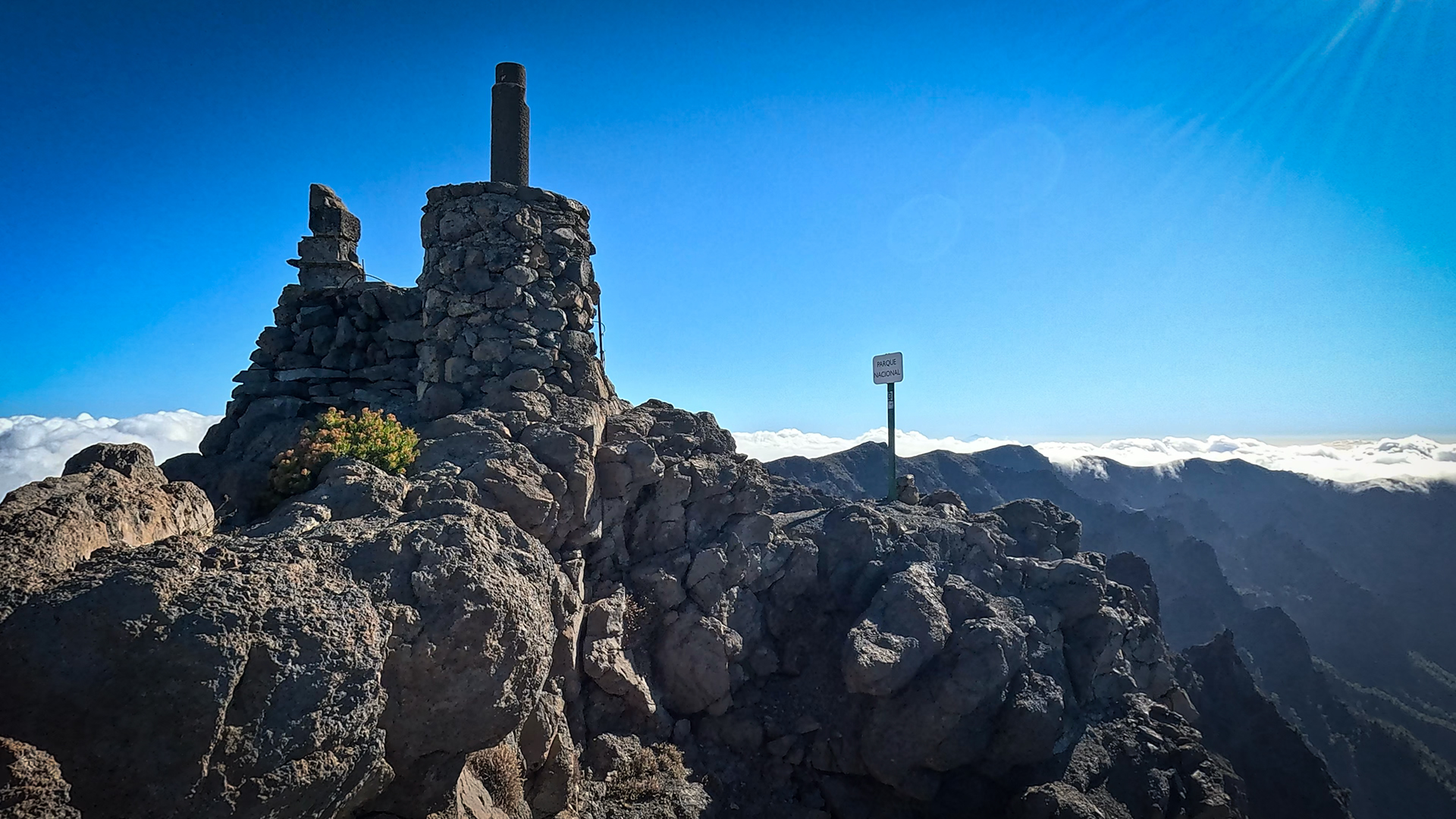
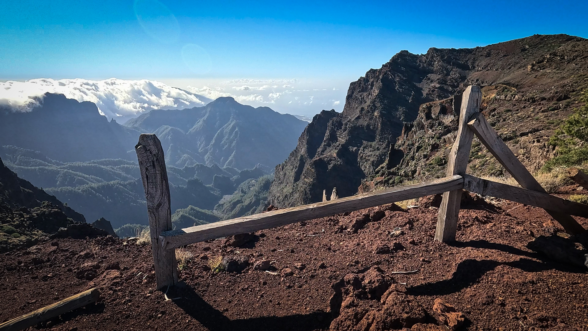
This stage begins at probably the most impressive place on the island: the Roque de los Muchachos, 2,426 m. High above the sea, on the edge of the Caldera de Taburiente National Park, a magnificent panorama of the national park and the steep caldera escarpments opens up. Passing the observatories, standing like silent guardians of the sky. Then Fuente Nueva (2,366 m) with trigonometric station. Right: the huge basin of the Caldera de Taburiente, a national park and biosphere reserve since 1954.
Pico de la Cruz, Pico de la Nieve and Kammweg (km 4-18)
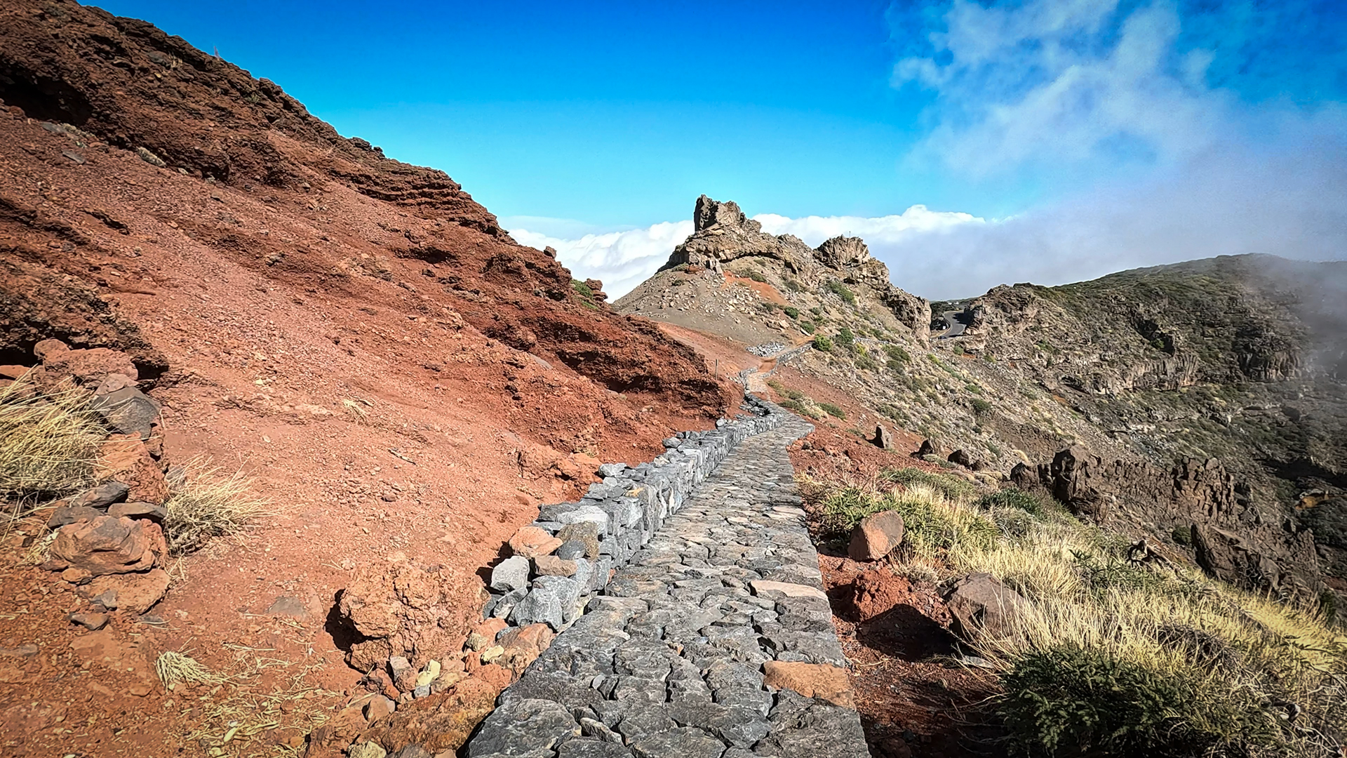
The path follows the ridge of the caldera. The Barranco de Gallegos drops off to the left and the Barranco del Diablo to the right. The route turns southeast. Pico de la Cruz (2,351 m) and astronomical viewpoint Pico Cruz Sur. At over 2,000 meters altitude: often above a sea of clouds. On a clear day to the east, Mount Teide on Tenerife dominates the horizon. At Pico de la Nieve (2,239 m): a simple wooden cross marks the summit. Multiple crossings of the Pista de Cumbre Nueva.
Cumbre Nueva and descent to El Pilar (km 18-26.1)
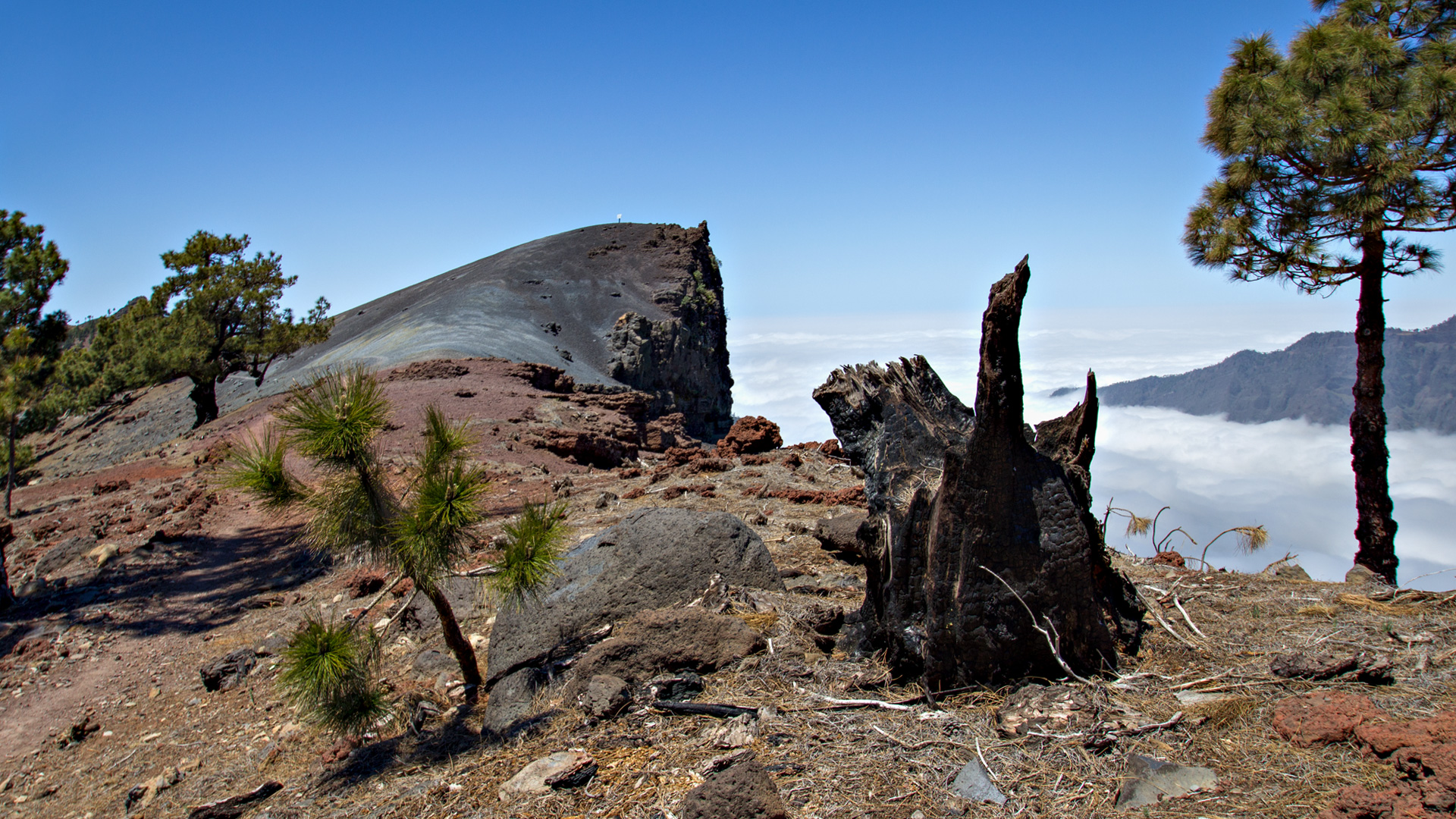
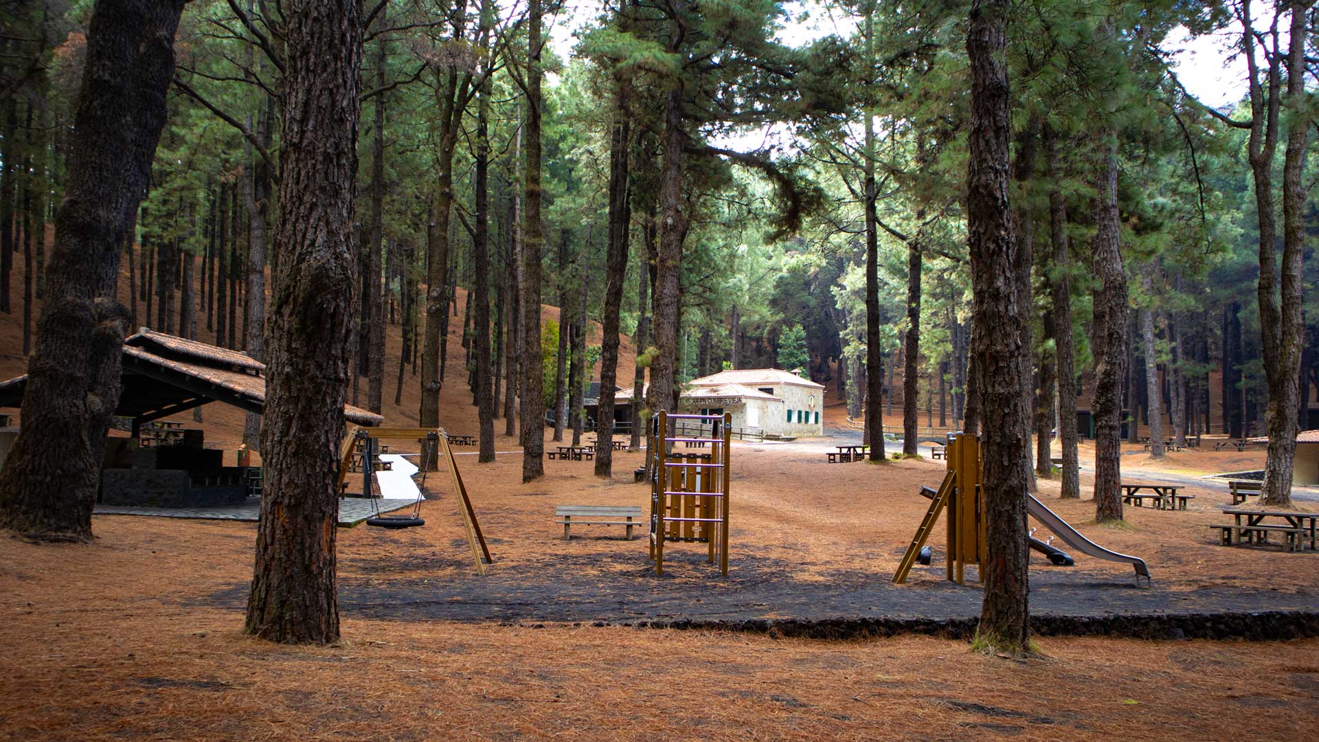
After the final track crossing, you enter a dense pine forest once again. The route goes through the Cumbre Nueva, then briefly along the LP-301 for a few hundred meters to the El Pilar recreation area — the end of this long, impressive stage.
The Ruta de la Crestería: the island’s high-altitude spine
The Ruta de la Crestería is the highest section of the GR-131. It runs on the ridge that divides La Palma from north to south – the island’s watershed. On the left the island slopes into the Caldera de Taburiente and on the right into the Aridane Valley. The geological contrast between the volcanic rim of the caldera and the open valley floor is palpable on this ridge path: the wind comes from both sides at the same time.
The vegetation on the ridge path is resilient and adapted: the colorful Tajinaste (Echium wildpretii) with its red flower candles is the symbol of this high mountain zone. Low shrubs, gorse and high mountain grasses form open upland vegetation. There is no shelter from forest cover here — just the ridge, the sky, and panoramic views.
The Roque de los Muchachos Observatory
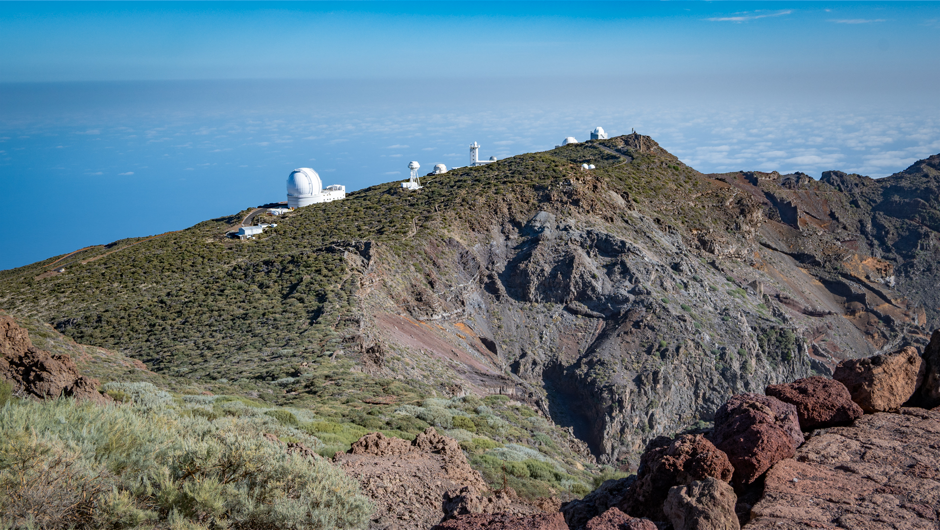
The Astrophysical Observatory at Roque de los Muchachos is one of the most important research stations in the world. The combination of altitude (2,396 m), stable atmospheric conditions and dark night skies makes the location unique. Along this section of the trail, you pass several telescope domes – the Isaac Newton telescope and the Jacobus Kapteyn telescope are located directly on the ridge path. La Palma has been an official Starlight Reserve since 2002.
Best travel time
| Season | Character | Note |
|---|---|---|
| Spring (March-May) | Tajinastes in full bloom (April–June); clear visibility | Best season for the ridge trail |
| Summer (June–Aug) | Often above clouds; strong UV radiation | Early start; intensive sun protection |
| Autumn (Sept-Nov) | Ideal lighting for panoramic views | Most popular season |
| Winter (Dec-Feb) | Snow and frost possible at 2,400 m | Only in absolutely safe conditions |
Combinable tours
| Tour | Data | Character |
|---|---|---|
| GR-131 Stage 1: Tazacorte – Roque de los Muchachos | 16.9 km, difficult | Previous stage — from the sea to the summit |
| Ruta de los Volcanes from El Pilar | 18.7 km, difficult | Continuation on the GR-131 southwards |
| Hike Mirador de los Andenes → Roque | 7.1 km, moderate | Shorter ridge tour from Mirador |
GPS track and 3D route planner
A GPS track is strongly advised for this 26 km ridge walk above 2,000 m. The crossing decisions on the Pista de Cumbre Nueva are particularly difficult to navigate without a track. With the free 3D route planner, this stage can be planned with the complete GR-131 – directly in the browser, without an app.
To the route page on Sunhikes: GR-131 Stage 2 Ruta de la Crestería
3D route planner from Sunhikes – customize and combine routes
Practical tips
Emergency call 112. Bring a layering system: at 2,400 m it can be cold and windy even in summer. Early start no later than 6:00 a.m. There is no drinking water along the ridge — ensure you carry sufficient supplies. Coordinate the return trip from El Pilar in advance.
Note: National Park and Nature Park
Parts of the route in the Caldera de Taburiente National Park (since 1954) and in the Cumbre Nueva Natural Park. Road restrictions, garbage collection, fire ban.
Frequently asked questions
What is the Ruta de la Crestería?
How far is the complete GR-131 crossing?
Alpine conditions on the ridge path
Despite its geographical location on an island, the GR-131 ridge trail is an alpine hiking trail in the truest sense: temperatures at 2,400 m can drop below 5°C even in summer when clouds pass through. The wind on the ridge is almost always present — from both sides at the same time, as the trade wind clouds from the east meet the dry air from the west. A layering system with a windbreaker is not a luxury, but a requirement.
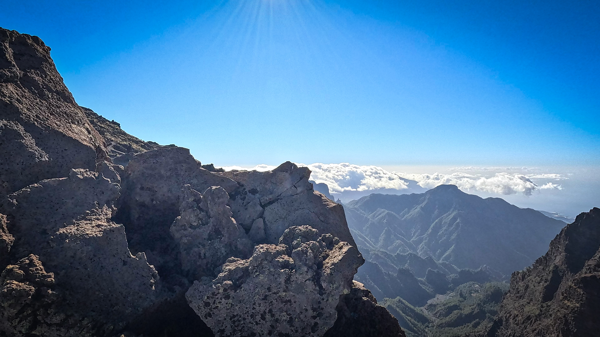
The UV radiation on the ridge path is significant: at an altitude of 2,400 m without cloud protection, the UV intensity is significantly higher than at sea level. Sunburn can occur much faster on the ridge than most hikers anticipate – especially because the cool air makes the sun’s burn less noticeable. Sun protection and sunglasses on the ridge path are essential.
The high plateau and the caldera escarpment
The caldera escarpment is always in view on this ridge path. The Caldera de Taburiente drops almost vertically into the national park on the left side – from 2,400 m ridge height to 400 m valley floor. This vertical dimension is unusual even for high mountain landscapes: the ridge path is not a gentle ridge, but an edge. A strong head for heights is non-negotiable.
Essential practical advice for this stage: The ridge path runs in the Caldera de Taburiente National Park. Leaving the marked path is prohibited. The descent into the caldera itself (via LP-302 to La Cumbrecita or into the caldera interior) requires separate permits, which must be booked online in advance, free of charge. The ridge path itself can be walked without a permit.
For hikers who approach El Bastón as a complete project: Stage 1 (Tazacorte – Roque, 27 km) + Stage 2 (Roque – El Pilar, 26.1 km) + Stage 3 (El Pilar – Fuencaliente via Ruta de los Volcanes, 18.7 km) = three days, approx. 72 km, the entire vertical spine of La Palma. Clariso houses in Tazacorte and Los Llanos are the most logical bases for this three-day program.
If you plan to tackle the full GR-131 Stage 2 (Roque – El Pilar, 26.1 km), it is best to plan two days: Day 1 arrival to Roque via LP-4 and acclimatization (short ridge tour), day 2 the complete stage with an early start. The Refugio El Pilar has camping options – anyone who stays there will start directly on the Ruta de los Volcanes on the third day. This is the most logical three-day variant of the GR-131.
This article is based on the on-the-ground knowledge of the Gequo editorial team – publishers of the Reisezeit hiking guides and operators of Sunhikes.com. Last updated: May 2026


