
Circular hike to the volcanoes of San Antonio and Teneguía from Faro de Fuencaliente
The circular hike around the volcanoes of San Antonio and Teneguía from the Faro de Fuencaliente lighthouse leads through the youngest volcanic landscape of La Palma: 13.7 km, 727 m, moderate to difficult, 5:30–7:00 hours. The barren, reddish-black lava landscape in the south of the island is characterized by direct volcanic history – the Teneguía last erupted in 1971.
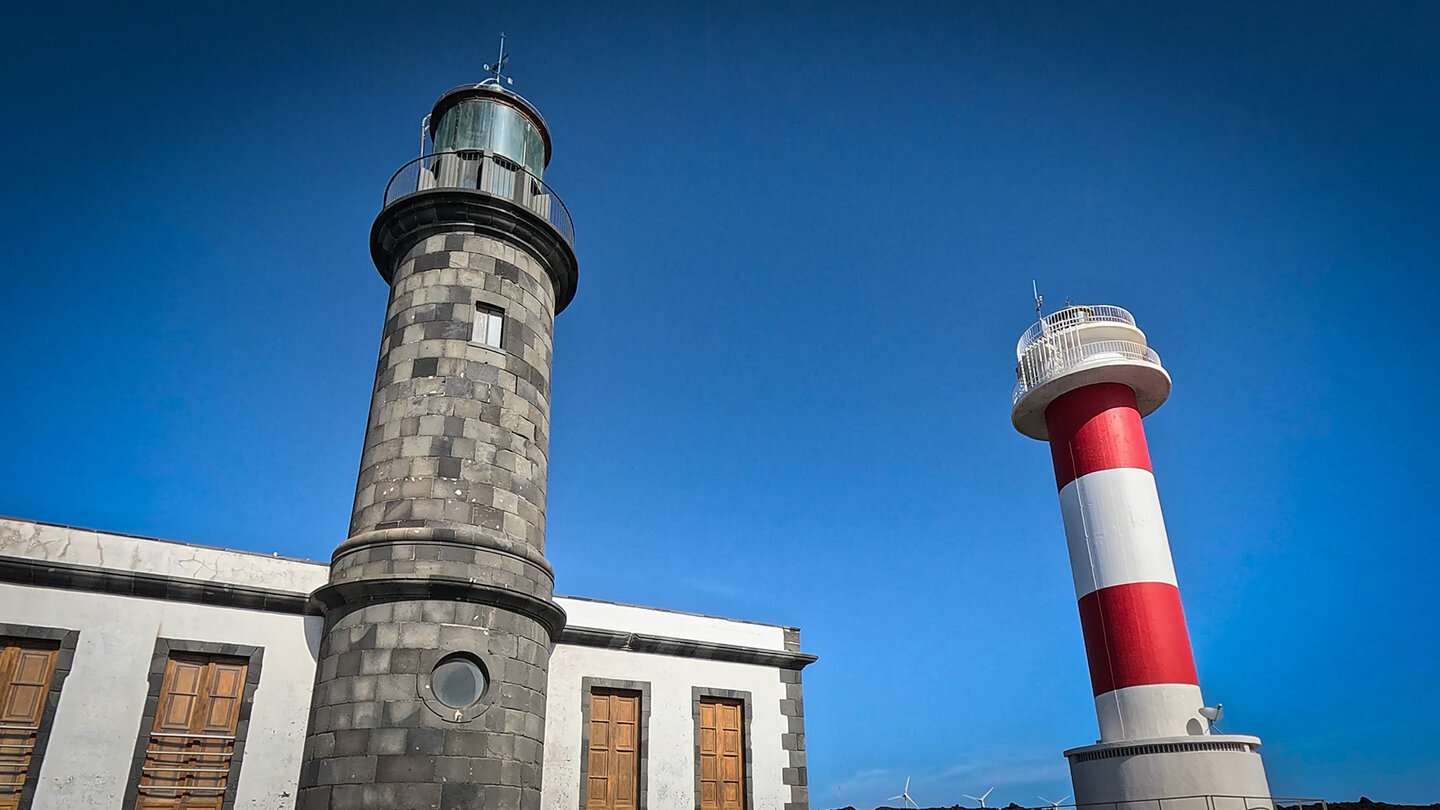
Highlights: The climb to the bright red Teneguía summit (428 m) over a narrow ridge – a good head for heights is required, with a panorama all the way to the coast. The visitor centre at the San Antonio Volcano. The Roque Teneguía with petroglyphs. The Salinas de Fuencaliente — radiant white seawater salt pans right next to the dark lava. Vineyards in Las Machuqueras.
Starting point: Faro de Fuencaliente lighthouse, southernmost tip of La Palma.
Route facts at a glance
| Route type | Loop hike |
|---|---|
| Distance | 13.7 km |
| Elevation | 727 m ascent / 727 m descent |
| Highest point | 644 m (San Antonio area) |
| Duration | 5:30–7:00 hours |
| Difficulty | moderate to strenuous (Teneguía ascent: requires a good head for heights) |
| Starting point | Faro de Fuencaliente lighthouse, LP-207 |
| Trail marking | GR-131 (red-white) |
| Protected area | nature park Cumbre Vieja / coastal area |
| Equipment | water, sturdy footwear, sun protection, windproof jacket |
Directions
Faro de Fuencaliente: LP-207 to the southern tip. Parking at the lighthouse (free of charge). Easily accessible from Los Canarios (approx. 5 km), from Santa Cruz approx. 45 minutes
The route in detail
Faro to Teneguía Volcano (km 0-4)
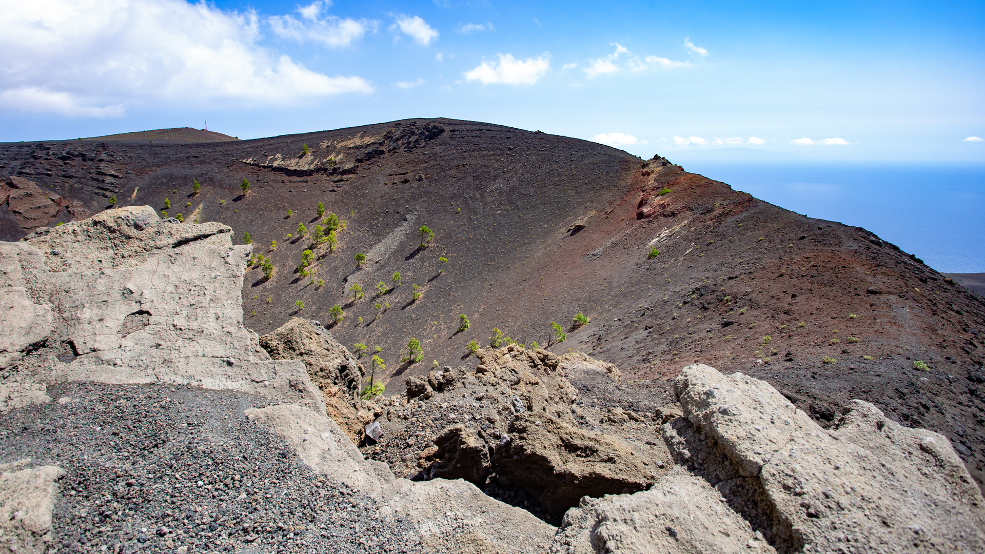
From Faro de Fuencaliente follow the GR-131 (red-white) towards Teneguía. Uphill through barren, still young lava landscape. In the first section, cross the LP-207 three times. After around 1 km: dark lava fields of Teneguía. Past the first reddish foothills. The path leads at the foot of Teneguía in an arc to the back. Through a coarse lava flow, then finer black lapilli areas. Finally to the ascent path to Teneguía.
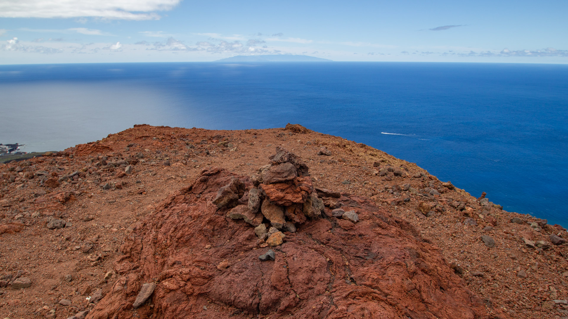
Ascent to Teneguía (428 m): A clearly visible path winds up the rugged volcano, which glows in red-yellow tones. Exposed sections of path. The path follows the crater rim over a narrow ridge to the summit. From here: wonderful view to the coast. Spectacular contrast: red volcano, blue ocean. Descent on the same path.
Roque Teneguía and San Antonio (km 4-10)
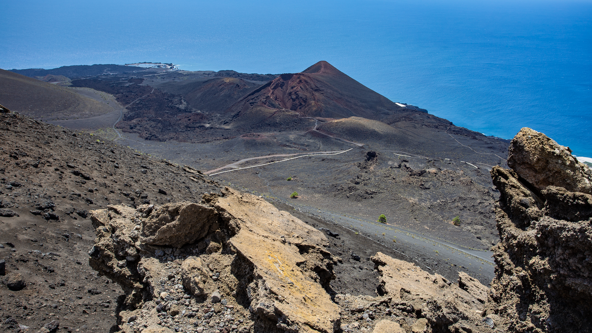
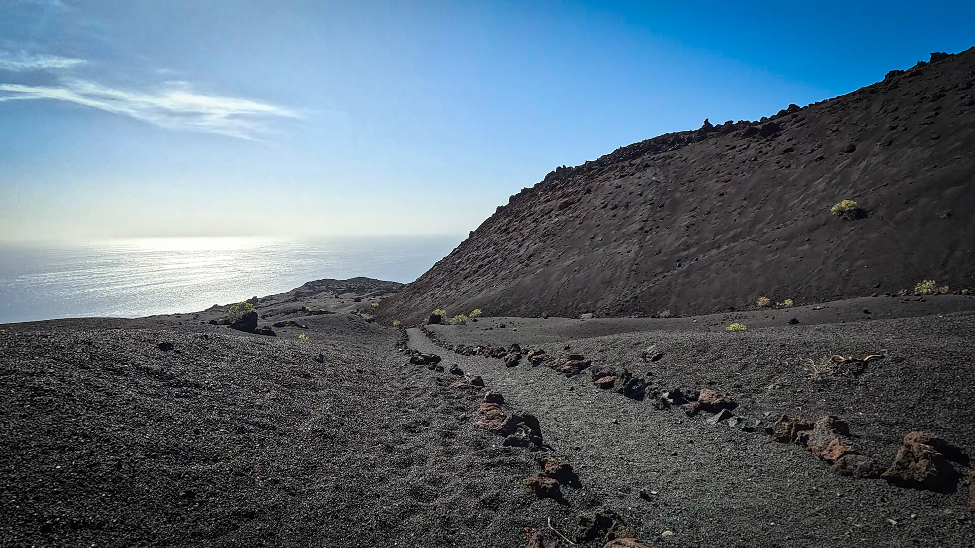
At the crossroads to the left of the GR-131. Large rectangular water reservoir. Via covered water channel to Roque Teneguía – the rock with petroglyphs. A path bordered with lava stones leads up to the scree slope. Slope to the right, again on GR-131. Continue towards San Antonio. Through the black lava landscape in numerous curves up the mountainside. To the Centro de Visitantes Volcán San Antonio. Behind the information centre: path along the crater rim of San Antonio, almost flat, to the viewpoint with views of Teneguía and the coast to the lighthouses and the saltworks.
Descent over vineyards and return to Faro (km 10-13.7)
From the road between San Antonio and Montaña de Las Tablas towards the coast. In a wide berth around Montaña de Las Tablas. Steep descent back to the coast. Through the Las Machuqueras wine-growing region downhill on a path lined with drystone walls. Across the road and further towards the coast. Cross LP-207. Continue downhill through lava landscape between two volcanic cones. At the gravel works on the road. Follow the road to the right: through rough lava fields of the Teneguía back to the starting point in Faro.
The Salinas de Fuencaliente
The Salinas de Fuencaliente are an extraordinary place: radiant white seawater salt pans, built directly into the black lava, with the blue Atlantic behind them. Since 1967, seawater has been evaporated here in specially designed basins. The traditionally handcrafted table salt (Sal Marina Teneguía) is available in the saltworks and in the island’s supermarkets. Flamingos occasionally rest on the salt flats – an absurd and beautiful sight in this volcanic landscape.
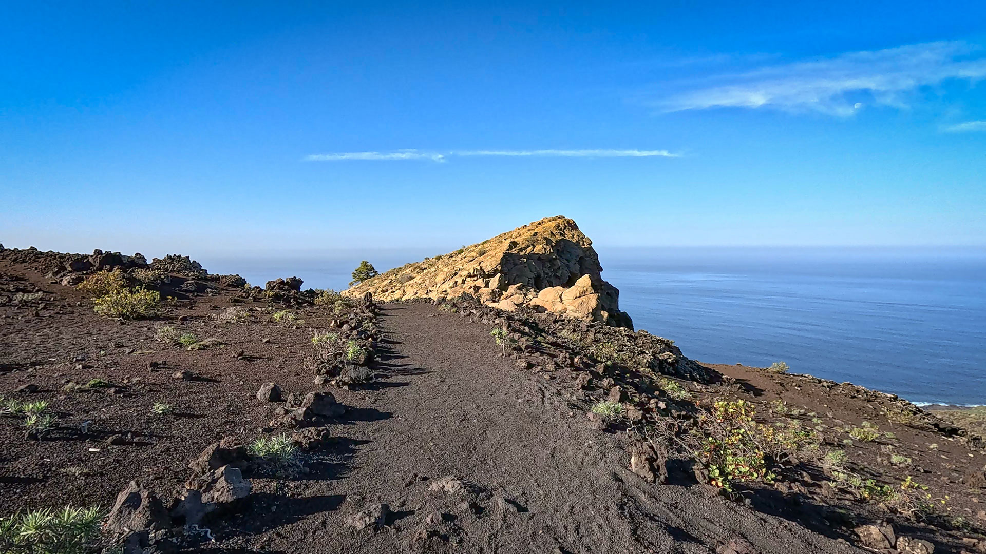
A detour to the Salinas right at the end of the route is worth it: a 5-minute walk from Faro. The salt flats offer one of the most unusual photo opportunity combinations in La Palma: white salt, black lava, blue Atlantic, white lighthouse. This is the southernmost point of the island – and perhaps the most contrasting.
Volcano Teneguía 1971 and Volcano San Antonio 1677
Teneguía erupted in October 1971 – the last volcanic eruption in La Palma before Tajogaite in 2021. For 50 years it was the youngest volcano in the Canary Islands. The eruption lasted three weeks, was not explosive, and posed no danger to the population. But there is still little vegetation on the lava – there is hardly any vegetation to be seen on the flanks of Teneguía.
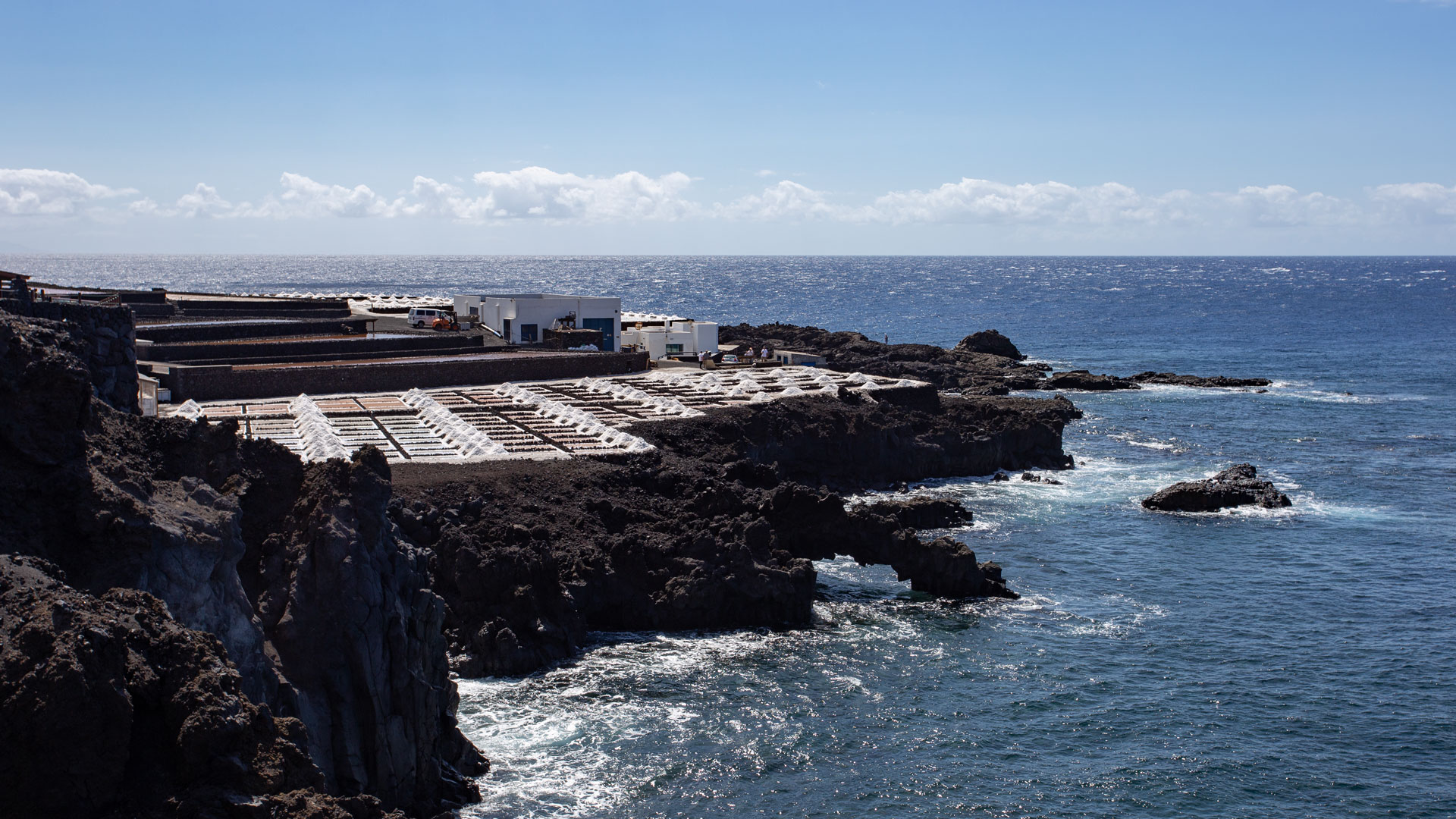
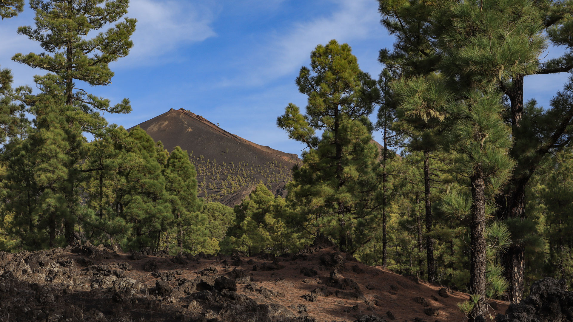
The San Antonio volcano, 657 m high, last erupted in 1677. Its crater basin is already populated by pine trees again – the contrast with the bare Teneguía shows how slowly the ecological succession is progressing on La Palma. The visitor centre at San Antonio explains the history of both volcanoes and provides the geological context for the entire southern tip of La Palma.
Best time to visit
| Season | Character | Note |
|---|---|---|
| Spring (March–May) | Vineyards green; Lava fields alive | Optimal conditions |
| Summer (June–Aug) | Lava fields very hot; Coast windy | Early start mandatory |
| Autumn (Sept–Nov) | Best visibility; Grape harvest in Las Machuqueras | Most popular season |
| Winter (Dec-Feb) | Pleasant; Southern tip rarely cold | Walkable all year round |
Combinable tours
| Tour | Data | Character |
|---|---|---|
| GR-131 Stage 3: El Pilar – Faro Fuencaliente | 22.8 km, difficult | The big volcano route as a previous or next tour |
| Fuente de los Roques → Volcán Martín | 10.2 km, moderate | More northerly volcano route from Fuente de los Roques |
| GR-130 Stage 6: Los Llanos – Los Canarios | 23.8 km, difficult | GR-130 section through Tajogaite lava fields |
GPS track and 3D route planner
GPS track recommended for guidance around Teneguía and Roque Teneguía. With the free 3D route planner, the tour can be combined with the GR-131 stage 3 to form a complete southern tip programme – directly in the browser, without an app.
To the route page on Sunhikes: Circular hike to the volcanoes of San Antonio and Teneguía
3D route planner from Sunhikes – customize and combine routes
Practical Tips
Emergency call 112. Teneguía climb: a head for heights is required. In strong winds, the San Antonio crater rim may be closed. Plan a detour to Salinas at the end of the tour (5 minutes). Centro de Visitantes Volcán San Antonio: fee applies.
Note: Nature Park
Parts of the route in the Cumbre Vieja Natural Park. Stay on marked trails, take your rubbish with you.
Frequently asked questions
Are there still active heat sources on the Teneguía?
What is the Roque Teneguía?
Viticulture on lava: Las Machuqueras
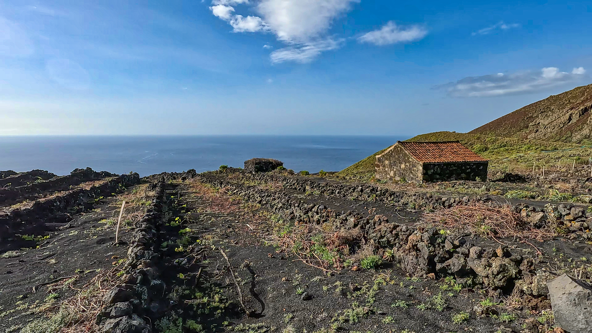
The Las Machuqueras wine-growing region, through which the descent of this route leads, is one of the most exceptional wine-growing regions in La Palma. The vines grow on young lava rock, in terraced steps surrounded by drystone walls. The volcanic rock supplies the roots with minerals and heat – at the same time the soil is poor in organic matter, which makes the yields low but the quality intense. The wine from Las Machuqueras is part of the Vino de La Palma with protected designation of origin.
In September, during the grape harvest, the terraces of Las Machuqueras are alive: harvest teams, pack animals (still the most practical method of transport on the steepest slopes), and the families who have been cultivating their vineyards for generations. Anyone who walks this stage in September has the grape harvest as a living backdrop to the descent.
The San Antonio Volcano Visitor Centre
The Centro de Visitantes Volcán San Antonio explains the history of San Antonio (eruption in 1677), the geology of the Cumbre Vieja and the volcanic phenomena of the entire island. The Crater Trail runs almost flat around the edge of San Antonio — a walkable, accessible volcano crater experience. The parking fee includes the visit. Anyone who uses the free car park 50 m before the entrance will not visit the centre, but the hiking trail remains accessible.
The circular hike Faro – Teneguía – Roque – San Antonio – Faro covers the entire volcanic history of the southern tip of La Palma in 13.7 km: from the 1677 San Antonio to the 1971 Teneguía to the coastal landscape that the Teneguía lava flow poured into the sea. Ideal as a day programme: arrival at Faro in the morning, round trip in 5:30-7 hours, visit to Salinas at the end, return trip to Los Canarios or Santa Cruz in the evening.
If you combine the route with the GR-131 stage 3 (Ruta de los Volcanes), you will walk the large volcano route El Pilar – Faro (22.8 km) on the first day, spend the night near Los Canarios, and walk the Teneguía loop (13.7 km) as a quieter, more in-depth tour on the second day. The two tours together give the complete picture of the Cumbre Vieja volcanic chain.
This article is based on the on-the-ground knowledge of the Gequo editorial team – publishers of the Reisezeit hiking guides and operators of Sunhikes.com. Last updated: May 2026


