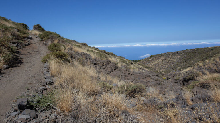
Hike Roque de los Muchachos to Mirador El Time
The hike from the Roque de los Muchachos (2,426 m) to the Mirador El Time (513 m) is one of the most extreme descents in La Palma: 14.2 km, approx. 2,287 m of descent, 350 m of ascent, difficult, 5:00–6:00 hours. From the highest point on the island, the trail continues downhill through several vegetation zones to the El Time viewpoint above Tazacorte.
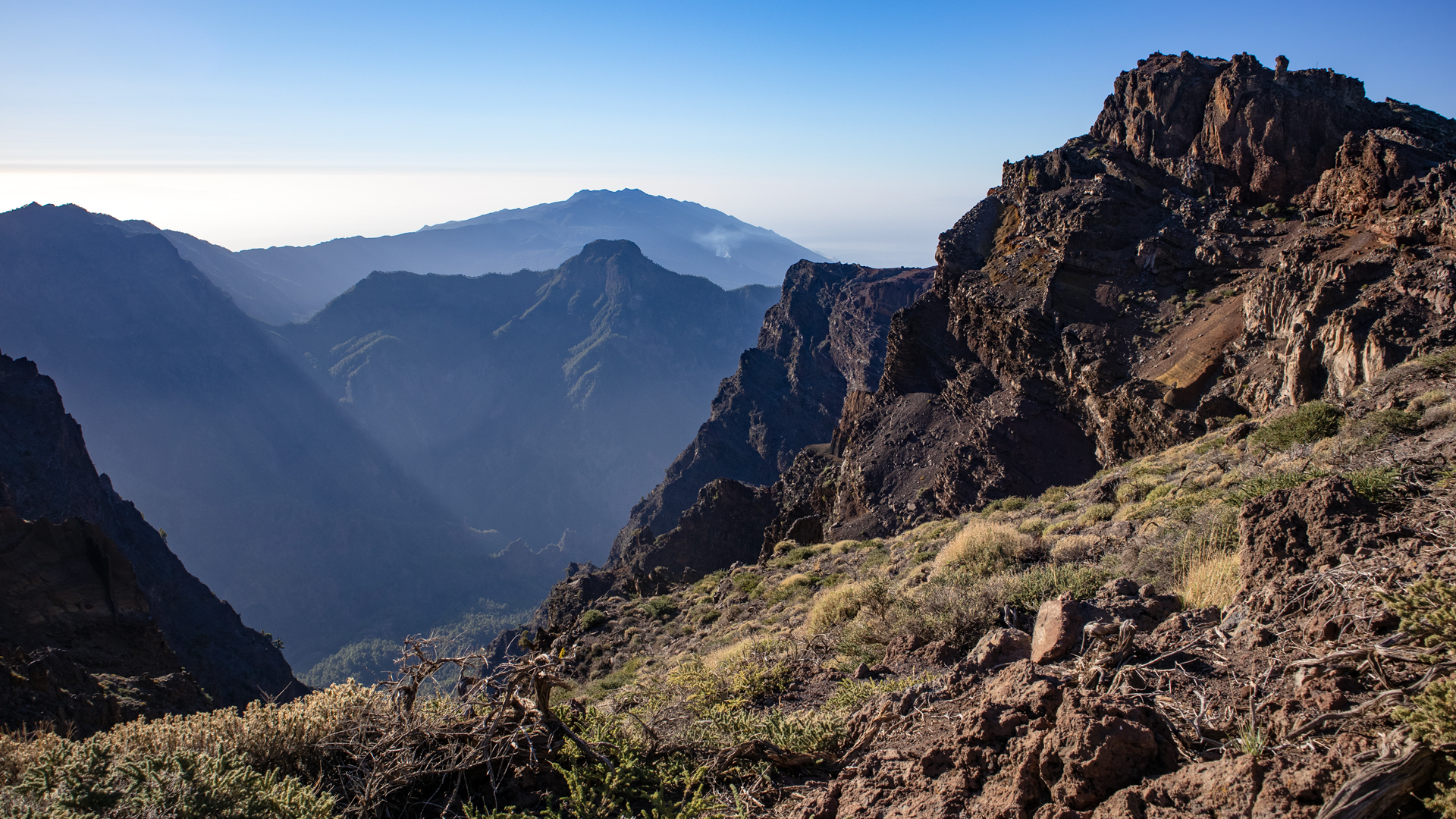
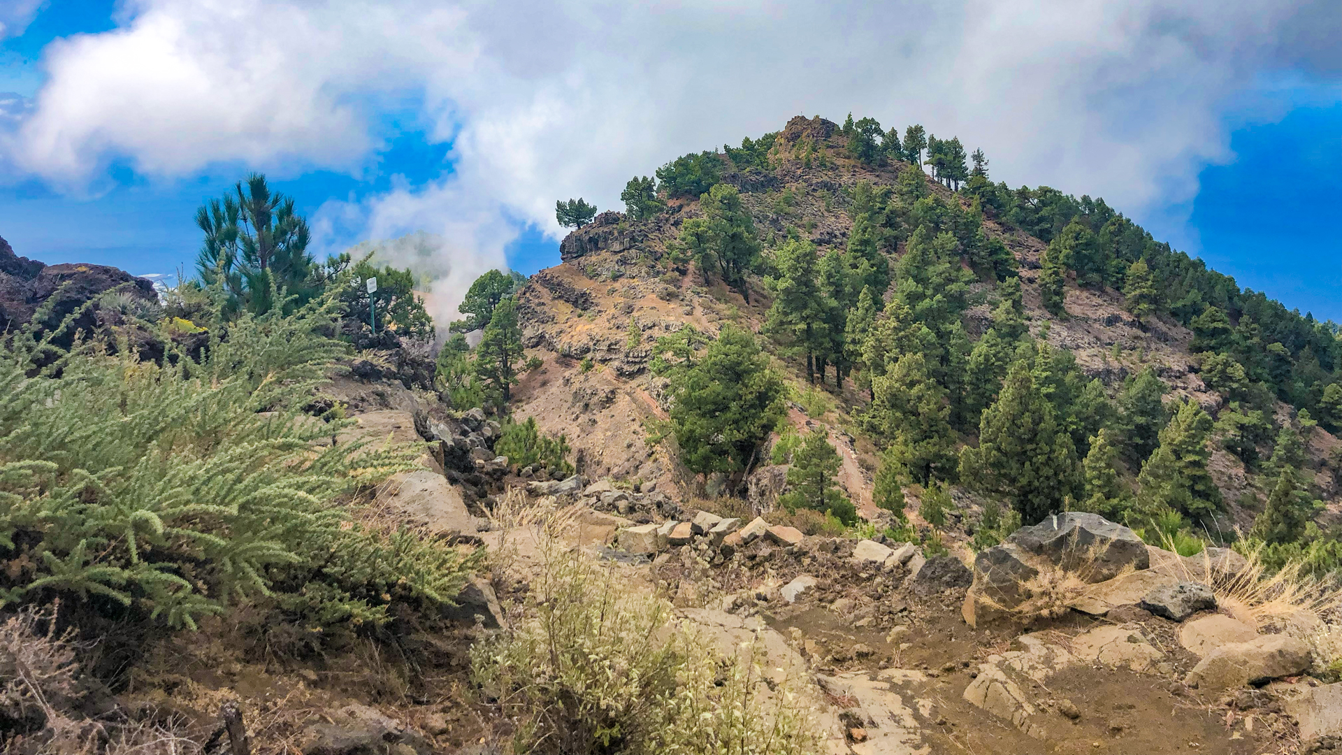
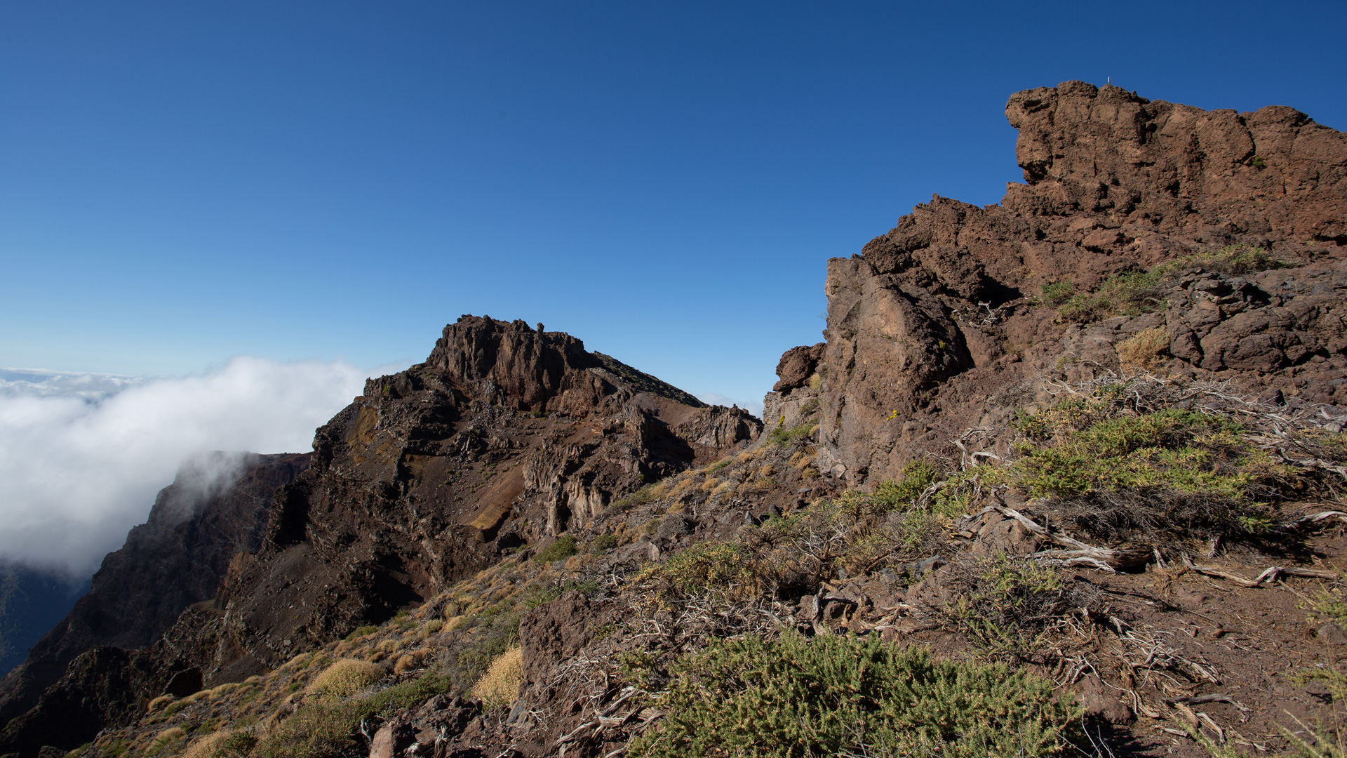
The route offers fantastic views of the Aridane Valley, the Tajogaite lava fields and the west coast. It is part of the GR-131 El Bastón and traces the full western spine of La Palma — from the summit zone over the pine forest to the cultural landscape of the western side. A whole day of La Palma from top to bottom.
Route facts at a glance
| Route Type | One-way (Roque de los Muchachos → Mirador El Time) |
|---|---|
| Distance | 14.2 km |
| Elevation | approx. 350 m ascent / 2,287 m descent |
| Highest point | 2,426 m (Roque de los Muchachos) |
| Lowest point | 513 m (Mirador El Time) |
| Duration | 5:00–6:00 hours |
| Difficulty | difficult (2,287 m descent, hiking poles recommended) |
| Starting point | Roque de los Muchachos car park, LP-4/LP-403 |
| End Point | Mirador El Time, LP-1 south of Tijarafe |
| Trail Marking | GR-131 (red-white) |
| Equipment | Water, provisions, trekking poles recommended, wind protection (above) |
The route in detail
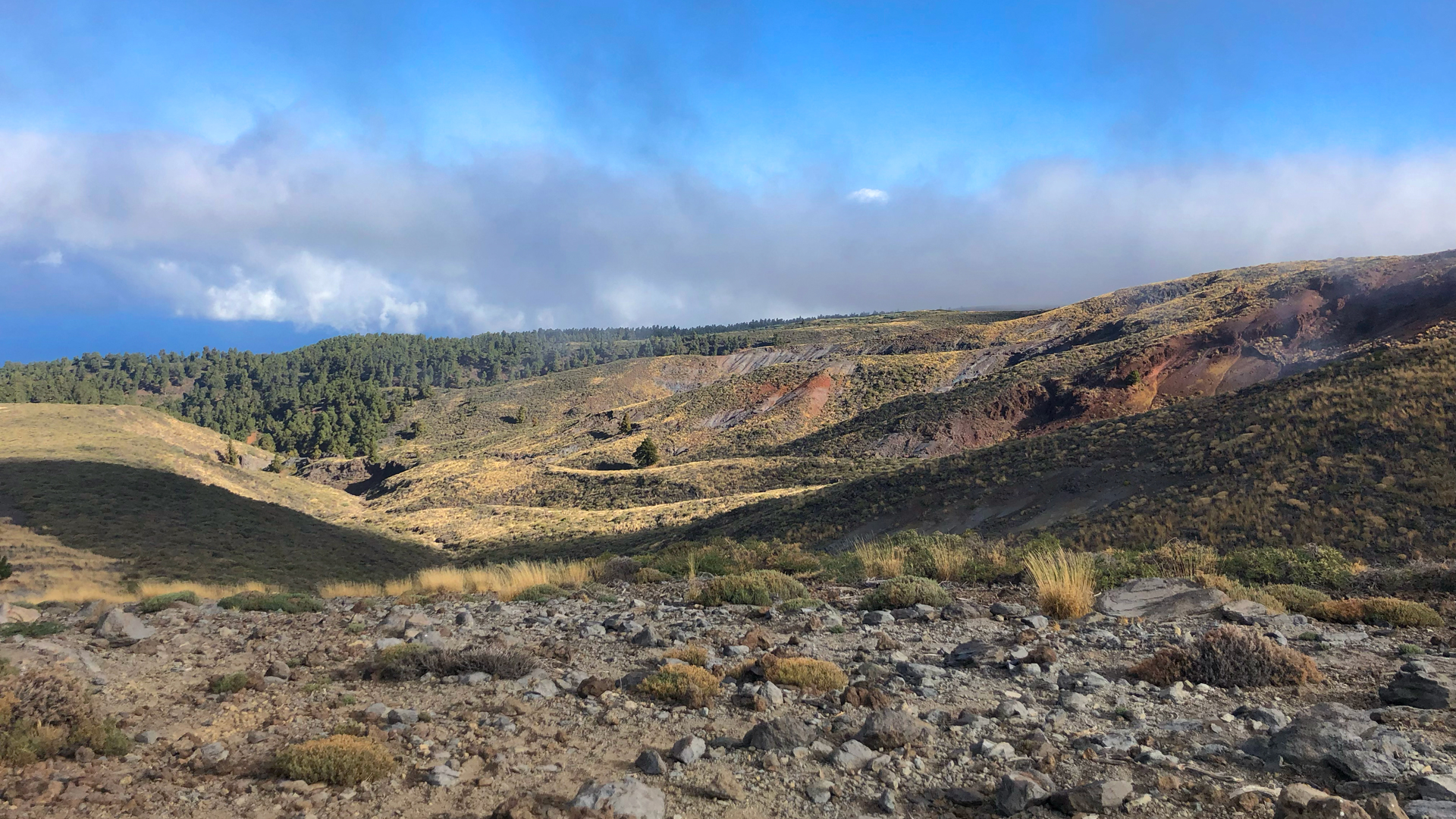
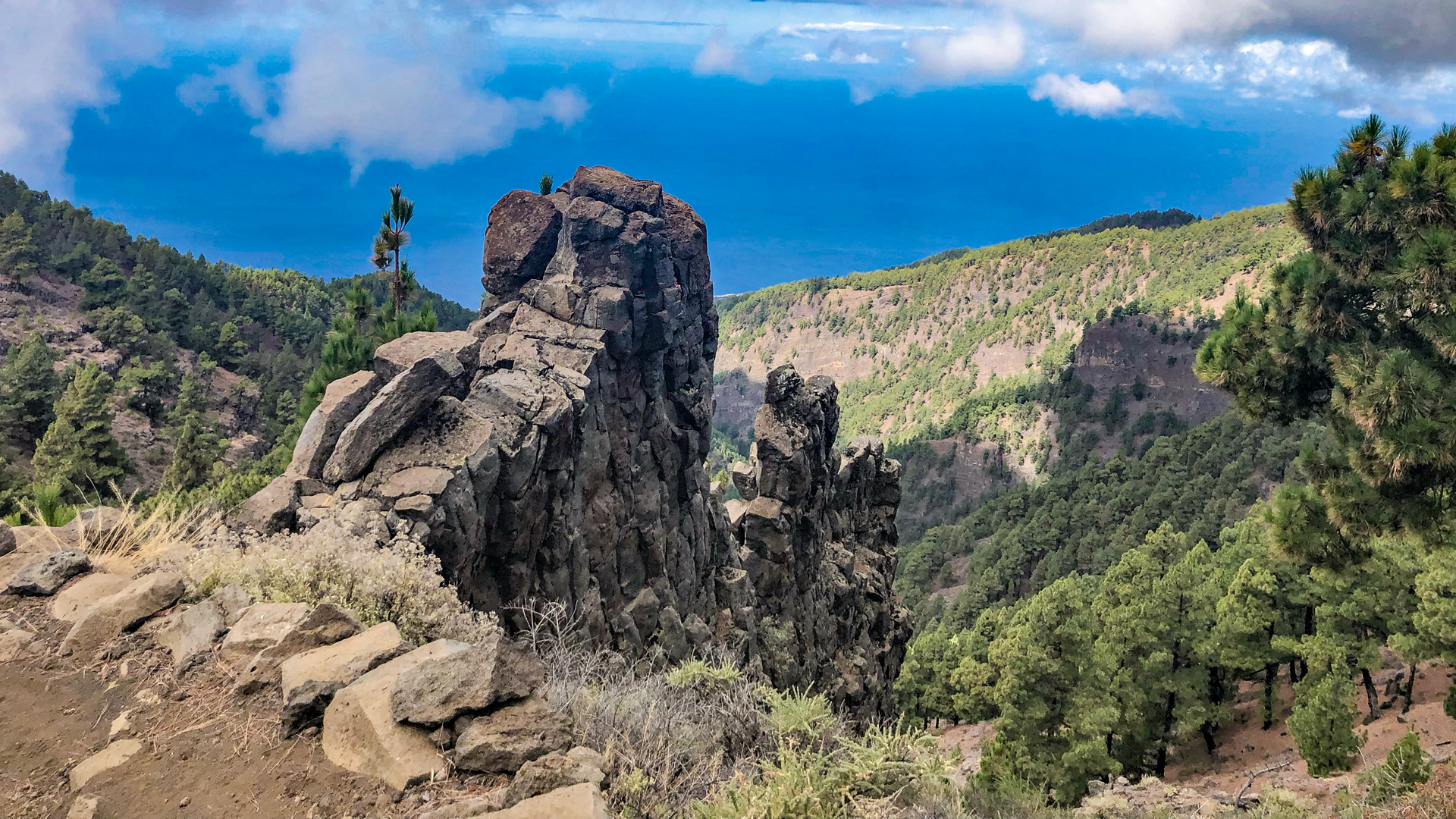
From the Roque de los Muchachos on the GR-131 (red-white) southwards — initially on the ridge with a caldera view. With decreasing height: transition into the pine forest. Several LP-4 crossings. Then mid-height zones with tree heath and vineyard terraces. The viewpoints open to the west side: Aridane Valley, Tajogaite Lava Fields, Tazacorte by the sea. Finally, the Mirador El Time — with restaurant, bus and the well-known view of the Valle de Aridane. From here return by bus or taxi.
2,287 metres downhill: planning and preparation
This tour is technically less demanding than the hike from Tazacorte uphill, but physically demanding: 2,287 m of descent over 14 km means sustained pressure on the knees for 6–7 hours. Walking poles relieve a significant part of this burden. If you walk without poles, you risk knee pain before you reach the Mirador.
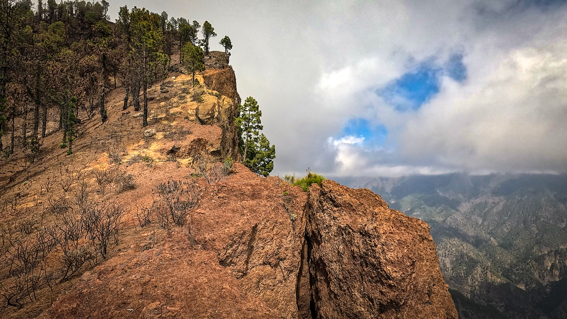
A proven strategy: walk the first 5 km along the ridge without rushing — this is flat and picturesque, placing no strain on the knee joints. Then keep a steady pace on the descent, taking short breaks every 45–60 minutes. At Mirador El Time: enjoy a 30-minute break with a view, along with food and drink at the café before catching the bus or taxi.
The Valle de Aridane: the goal in view
The Mirador El Time as the end point of this route has the best view of the Aridane Valley – the most fertile plain of La Palma with banana plantations and the black Tajogaite lava fields. After 6–7 hours of descent from the summit, arriving here and seeing the valley below gives the day a completeness that hardly any other La Palma route offers: above the starry summit, below the green valley. Everything in between: a day of hiking.
Best time to visit
| Season | Character | Please note |
|---|---|---|
| Spring (April-May) | Tajinaste top; Aridane valley green | Best overall experience |
| Fall (Sept–Nov) | Tajogaite lava fields in the best light | Most popular season |
| Summer | Summit clear; valley hot | Start early |
| Winter | Snow on top possible | Layer system, sticks |
GPS track and 3D route planner
To the route page on Sunhikes: Roque de los Muchachos – Mirador El Time
3D route planner from Sunhikes
GR-131 El Bastón: the vertical axis of La Palma
The GR-131 El Bastón — the staff — connects Puerto de Tazacorte by the sea with the Roque de los Muchachos at 2,426 m. This hike (Roque → Mirador El Time) goes the same way in the opposite direction: downhill from the summit. Anyone who climbs El Bastón Stage 1 and then, on another day, does this descent has experienced the entire vertical axis of La Palma in both directions. This is the most complete vertical impression that La Palma can offer.
The Mirador El Time as the end point of this long descent route is strategically ideal: restaurant at the viewpoint for relaxation, bus connection back to Tazacorte, and the most famous panoramic view of the Aridane Valley and the Tajogaite lava fields. Arriving here after a 6–7 h descent of 2,426 m and seeing the Valle de Aridane below you: this is the emotional conclusion that this difficult path deserves.
Knee joints and trekking poles: practical experience
On this route with a descent of 2,287 m, hiking poles are not a recommendation, but a medical precaution. Clinical studies show that trekking poles reduce the strain on the knee joint during descent by 25–30%. On a descent of 14 km and more than 6 h, this adds up to considerable protection. If you don’t have sticks: slow down, take short, small steps, always keep your knees slightly bent. Never run downhill.
For the logistics of this tour (Roque → Mirador El Time): park your car at Mirador El Time, take a taxi to Roque de los Muchachos, then descend the 14.2 km. Taxi from Mirador El Time to LP-403/LP-4 (Roque branch) costs approx. 35–40 EUR, takes approx. 45 min. Bus connection: Bus line 120 from El Time to Los Llanos de Aridane, then line 300 or taxi. If you stay at Mirador El Time, you don’t have to worry about returning.
A rare variant: Roque → Mirador El Time and the next morning Mirador El Time → Puerto de Tazacorte (3 km, 510 m descent, 1:30 h). These are two consecutive descents: Day 1 from 2,426 m to 513 m (El Time), Day 2 from 513 m to 0 m (Port). With overnight stay in a holiday home near Tazacorte in between — and as a conclusion: swimming in the black sand of Puerto Tazacorte.
The Valle de Aridane: landscape between lava and banana
The Aridane Valley, overlooked at the end of this long descent from Mirador El Time, is the heart of the west coast of La Palma. Before Tajogaite 2021: compactly built with banana plantations, avocado groves and villages. After the eruption: part of the plain is under black lava, the rest has recovered. The banana plantations on the areas spared by the eruption are back in operation. The view of this landscape from Mirador El Time shows history and the present alike
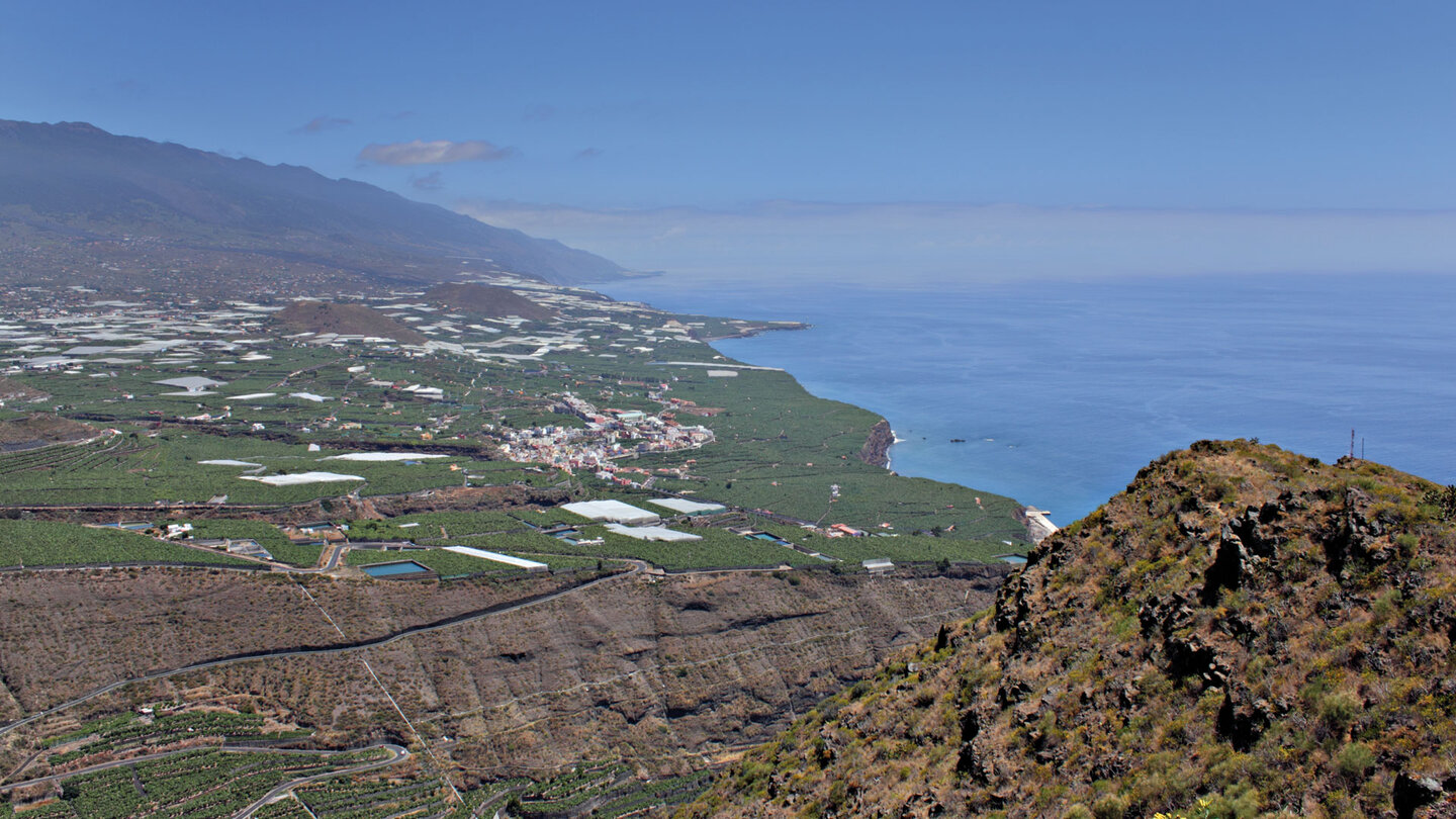
The banana of La Palma is one of the most appreciated varieties in the Canary Islands: sweeter than imported bananas, smaller, with thinner flesh. The plantations in the Aridane Valley provide a significant part of the Canary banana production. If you are in Puerto Tazacorte after the long descent and buy bananas at the markets in La Palma, you are buying from one of the plantations that you have seen above from the Mirador El Time as white foil surfaces.
The stage Roque de los Muchachos → Mirador El Time is the complete western axis of La Palma in one tour: from the highest point of the island (2,426 m) through all climates to the observation point over the west coast (513 m). This vertical completeness — from high mountains to pine forest and mid-height zone to the vineyard landscape — has few parallels in the Canary Islands. It is not the hardest tour, but possibly the richest in content.
A rarer variant of this tour: you go the other way around, i.e. from El Time uphill to the Roque. This is the GR-131 Stage 1 (Puerto Tazacorte → Roque, 27 km) in the reverse direction. Ascent from 513 m to 2,426 m — more extreme than the descent, but with the emotional logic of the ascent: you work your way up the summit. Anyone who knows this descent and the Ascent GR-131 Stage 1 has experienced the entire western axis in both directions.
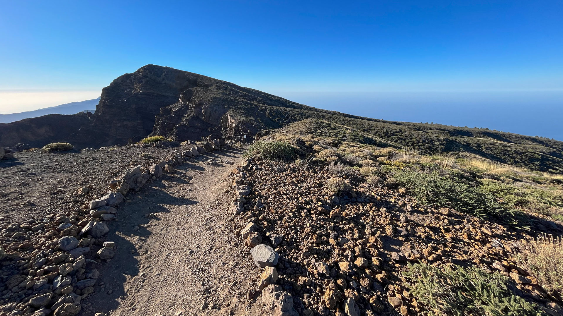
A practical note for the Roque → El Time route: The first section (ridge, approx. 5 km) is relaxing and panoramic — no heavy exertion, just pure enjoyment. The middle section (pine forest descent, about 5 km) is monotonous but pleasant. The final part (vineyard zone and road sections, about 4 km) is less spectacular, but the contrast to the high mountain zone makes it interesting. At Mirador El Time, it becomes clear that you have transitioned into an inhabited landscape from 2,426 m. This is the essence of this route.
Accommodation: Tazacorte — Clariso
Mirador El Time is located near Tazacorte. Holiday homes on clariso.eu — Holiday homes Tazacorte.
This article is based on the on-the-ground knowledge of the Gequo editorial team – publishers of the Reisezeit hiking guides and operators of Sunhikes.com. Last updated: May 2026