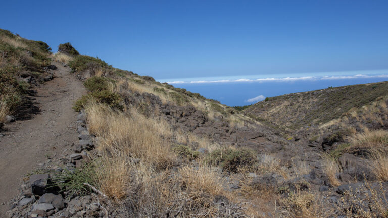
Hike Pico de la Nieve – Pico de la Cruz: Comb route in the national park
The crest trail section from Pico de la Nieve (2,239 m) to Pico de la Cruz (2,351 m) is a classic section of the GR-131 and one of the most impressive high mountain trails in La Palma. At about 6 km and about 200 m ascent you hike on the caldera ridge — on the left the view into the national park, on the right the view of the Aridane valley and the Cumbre Vieja.
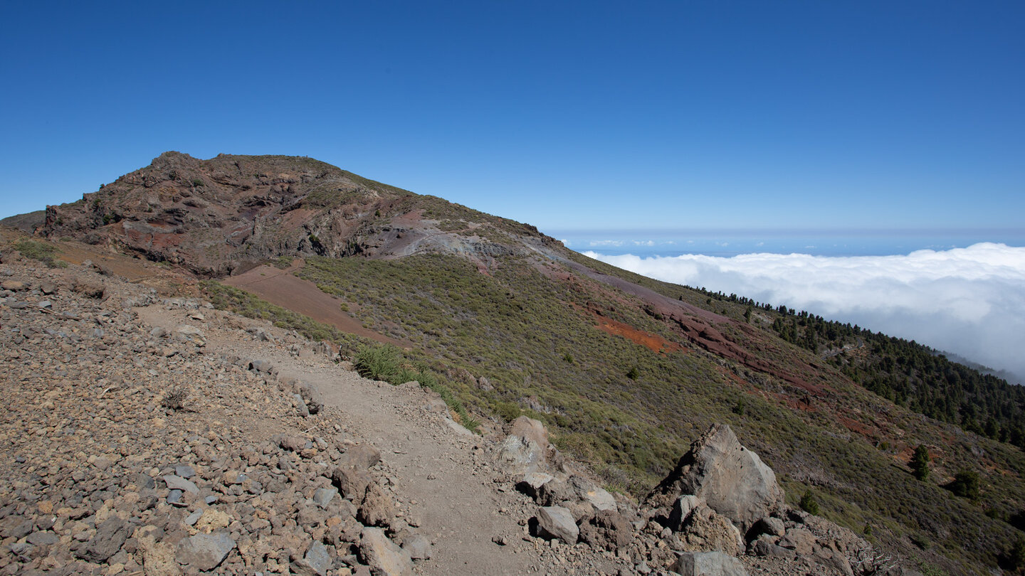
Who runs the entire Ruta de la Crestería ( GR-131 Stage 2), but wants to get in shorter, starts this section at the Pico de la Nieve and ends at the Pico de la Cruz. From there: return on the LP-4 to the car or descend to Los Sauces (PR-LP 7) or Barlovento (PR-LP 8).
Route facts at a glance
| Route type | Distance / return possible |
|---|---|
| Distance | approx. 6 km (easy) |
| Altitude | approx. 200 m ascent / variable |
| Highest point | 2,351 m (Pico de la Cruz) |
| Lowest point | approx. 2,150 m |
| Duration | approx. 2:00–2:30 h (easy) |
| Level | heavy (alpine terrain, high mountains, dizziness-free, sure-footed) |
| Starting point | LP-4, parking near Pico de la Nieve – hard track 4×4 vehicle recommended |
| End Point | Pico de la Cruz, LP-4 |
| Path marking | GR-131 (red-white) |
| Protection Status | Caldera de Taburiente National Park (since 1954) |
| Configuration | Water, windbreak, alpine footwear |
The route in detail
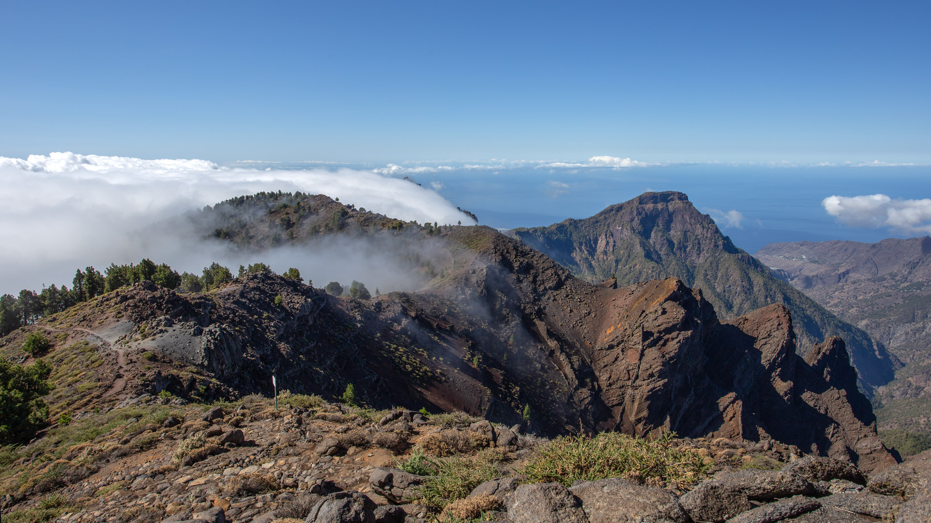
From Pico de la Nieve (2,239 m) on the GR-131 southwards. The ridge path runs in constant up and down between 2,150 and 2,350 m. Left: the demolition edge of the Caldera de Taburiente with sheer drops into the national park below. Right: the Aridane Valley, the sea, the west coast and the volcanic chain of the Cumbre Vieja. On the way: astronomical viewpoint Pico Cruz Sur at Pico de la Cruz. End point: Pico de la Cruz at 2,351 m.
The ridge path as a watershed
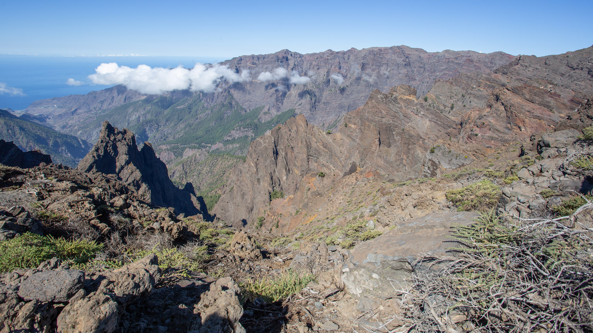
This ridge path section runs on the main watershed of La Palma: rain that falls on the left flows into the Caldera de Taburiente (and from there through the Barranco de las Angustias into the sea at Tazacorte). Rain falling to the right flows through the Barrancos of the west side into the Aridane Valley. Standing on the ridge, you are literally on the border between two hydrological systems.
This ridge path is also a climate divide: on the left the humid north side with trade winds and cloud accumulation (laurel forest, Los Tilos), on the right the drier west side (banana plantations, sunshine from Puerto Naos). On the back of the comb, you can feel both at the same time: damp coolness on one side, dry heat on the other.
Connection to long comb routes
This section is the heart of the GR-131 crest pathway. If you want more, extend northwards to the Roque de los Muchachos ( Caldera Hiking Trail Pico de la Nieve → Roque, 20.5 km) or further south via the Pico de la Cruz on the PR-LP 8 to Barlovento (11.9 km descent). The LP-4 runs parallel to the crest path and allows flexible access and entry at several points.
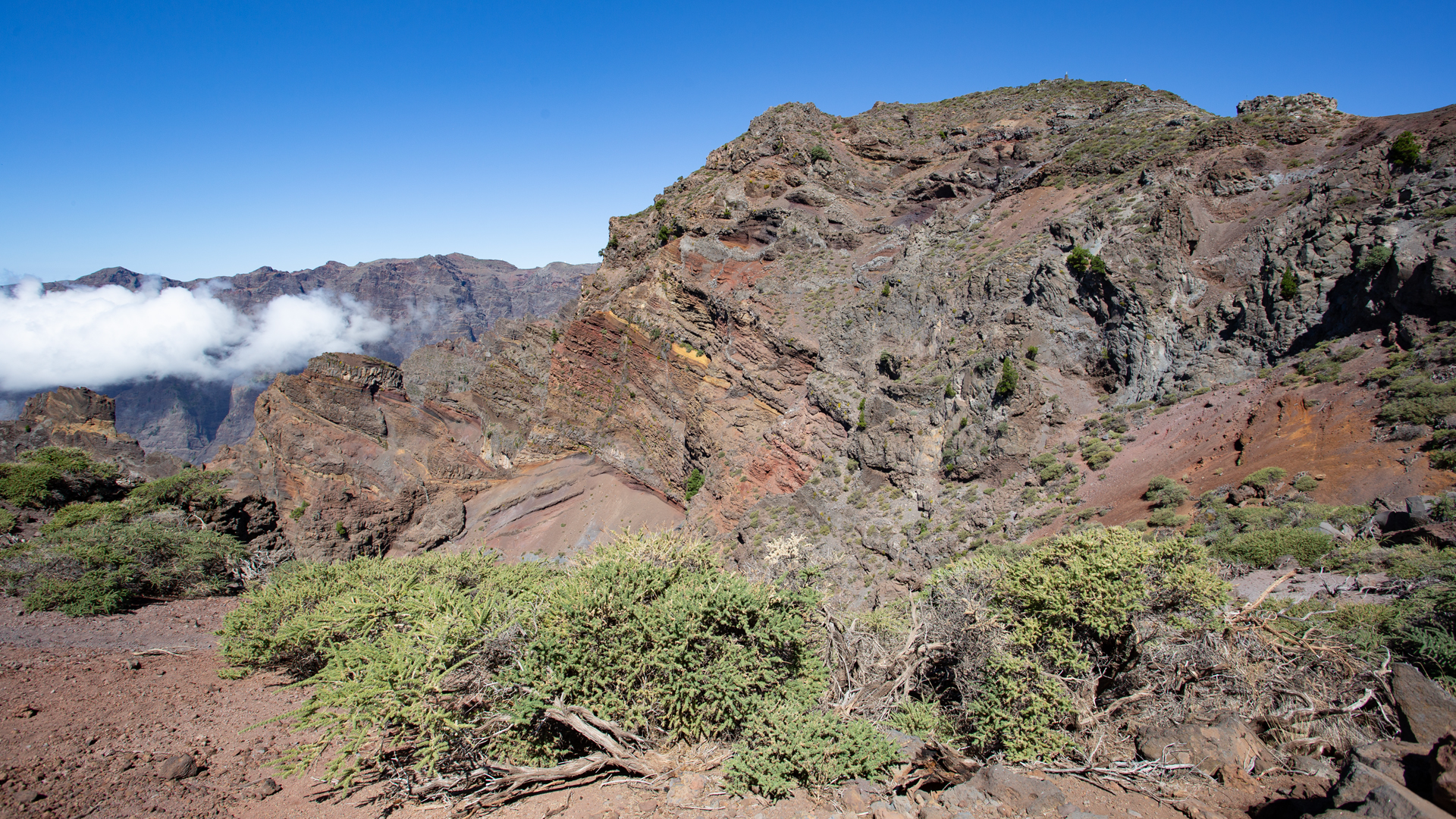
Best Time To Visit
| Seas. | Character | Please note |
|---|---|---|
| April–June | Tajinaste in bloom; fullest splendour of colour | Best time of year for the Kammweg |
| Summer | Often above clouds; intense UV | Sun protection at 2,300 m mandatory |
| Autumn | Best distance view of all islands | Most popular season |
| winter | Frost and snow possible | Only in absolutely safe conditions |
Combinable tours
| Tour | Data | Character |
|---|---|---|
| PR-LP 8: Pico de la Cruz → Barlovento | 11.9 km, heavy | Descent from Pico de la Cruz to Barlovento |
| PR-LP 7: Pico de la Cruz → Los Sauces | 14.4 km, heavy | Descent from Pico de la Cruz to Los Sauces |
| Caldera hiking trail Pico Nieve → Roque | 20.5 km, heavy | Complete comb route northwards |
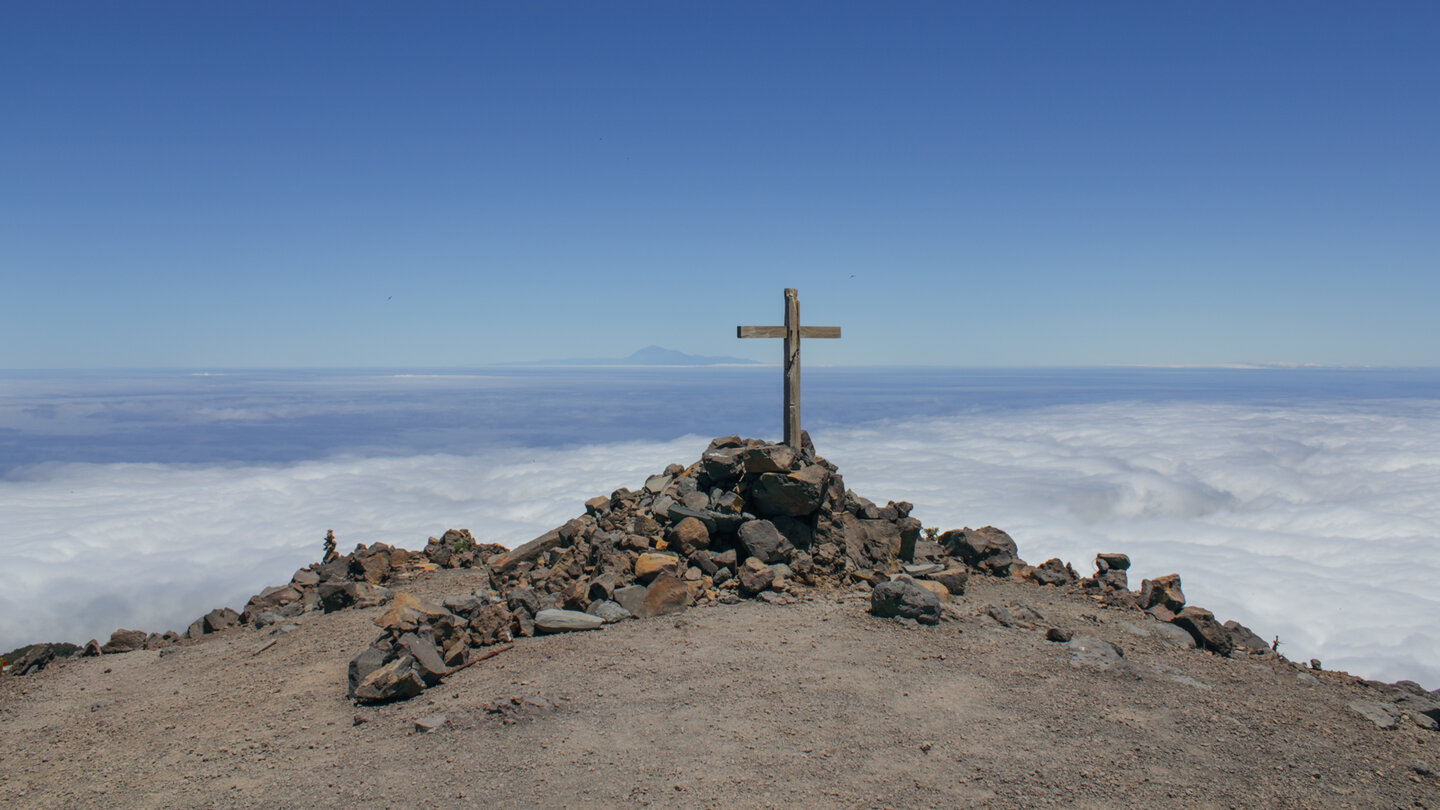
GPS track and 3D route planner
GPS track for alpine conditions mandatory — in cloud cover, the crest path is difficult to follow without orientation.
3D route planner from Sunhikes — Customise your comb route
Pico de la Cruz Astronomical Viewpoint
The Pico de la Cruz (2,351 m) is not only a summit of the GR-131, but also an astronomical lookout point with the official name: Pico Cruz Sur. From here, ORM astronomers measure the atmospheric conditions for the telescopes at the Roque. The air at 2,351 m is exceptionally calm and less dusty than at lower points — one of the basic prerequisites for excellent stargazing.
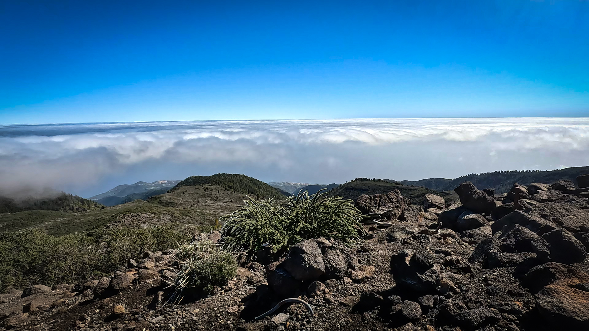
As a hiking destination, the Pico de la Cruz is a worthwhile end point: direct LP-4 connection for descent or onward travel. From here, the PR-LP 7 to Los Sauces (14.4 km) and the PR-LP 8 to Barlovento (11.9 km) — both large descents that connect the ridge with the northeast coast. Those who stand on the Pico de la Cruz can choose between two different valleys for the descent.
The GR-131 as an educational walking system
The ridge path section Pico de la Nieve – Pico de la Cruz is part of a unique hiking system: All three GR-131 stages ( Stage 1 Tazacorte→Roque, Stage 2 Roque→El Pilar, Stage 3 El Pilar→Fuencaliente) show La Palma as a vertical island. This section shows the middle ridge zone — not the dramatic rise from the sea, not the volcanic landscape in the south, but the quiet, alpine ridge ridge between the highlights. This is the meditative part of the GR-131: nothing but crest, clouds and caldera.
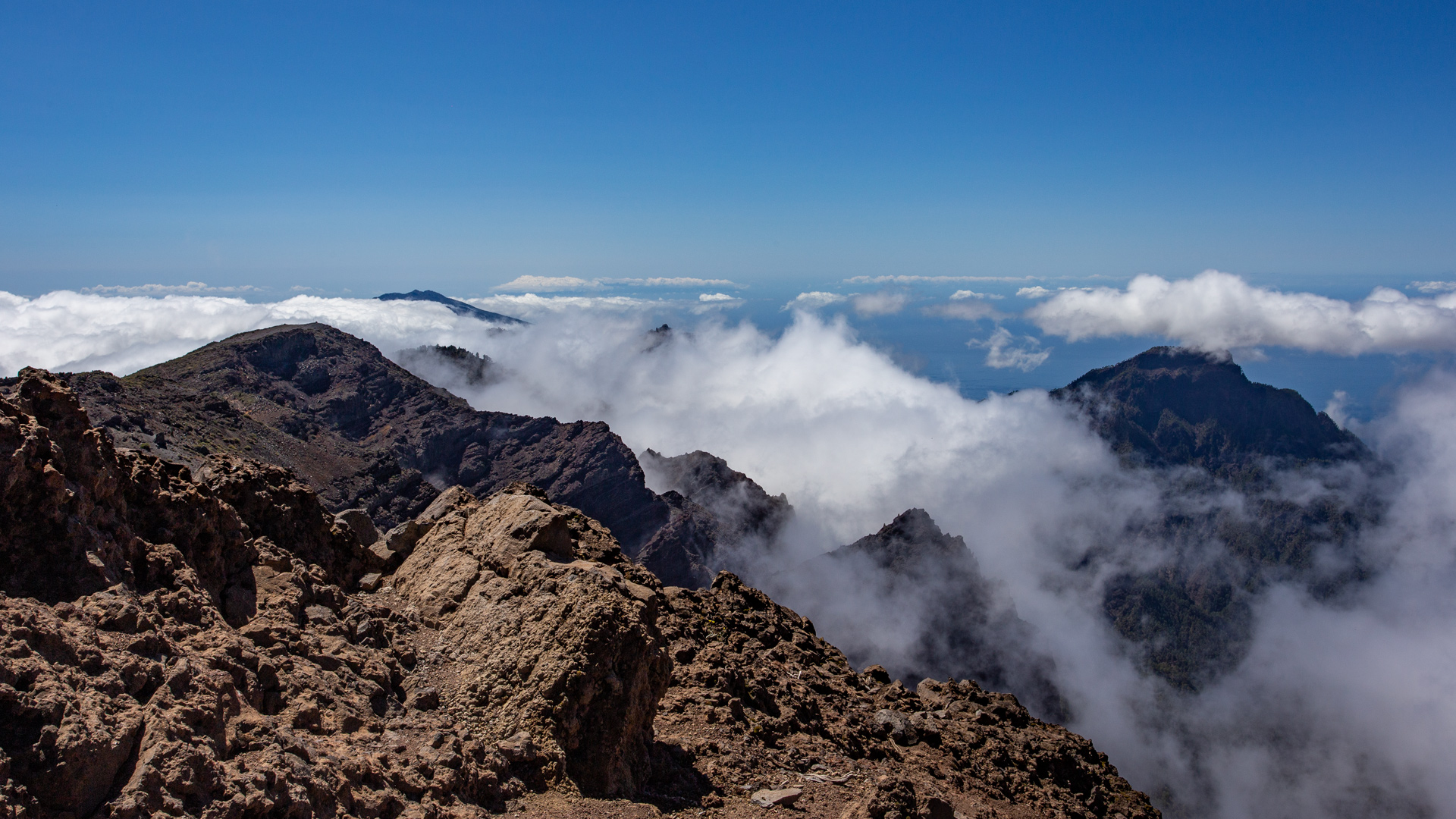
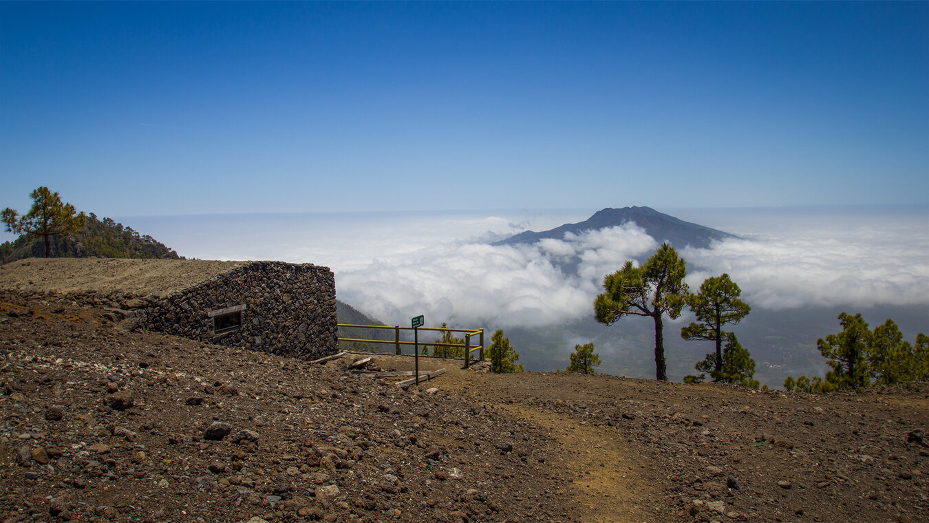
The sea of clouds under the ridge path is one of the iconic images of La Palma: when the trade wind presses clouds against the northeast flank, they accumulate at the ridge edge and form a sea of clouds on the east side — while the west side lies in bright sunlight. On the crest path, you are exactly at this border: on the left, the sea of clouds above the caldera, on the right, the sunny west side. This contrast is characteristic of La Palma and makes the Kammweg one of the most photographic
The combination Pico de la Nieve ( Hike with Ermita) + Pico Nieve – Pico Cruz Kammweg is an ideal two-day high mountain program on the LP-4: Day 1 the small round with petroglyphs (2 h), explore the LP-4 in the afternoon and enjoy the view at the Mirador Pico de la Cruz. Day 2 the crest path from Pico Nieve to Pico de la Cruz (2:30 h) plus optional descent. With Clariso accommodation in El Paso as a base: 30 min. to LP-4.
The ridge path as a meditation path
The Pico de la Nieve – Pico de la Cruz section is often referred to by repeat hikers on La Palma as a meditative route: the direction is clear (follow the crest), the landscape is constantly spectacular, the requirements are known. There are no orientation questions, no wayfinding, no stress — just the crest, the step, the view. This section is ideal for hikers familiar with fitness who are looking for a day of pure movement and panorama.
The next boost for hikers who know this section: The full GR-131 stage 2 ( Roque de los Muchachos – Refugio El Pilar, 26.1 km). It starts at the Roque and ends at El Pilar — the ridge path Pico Nieve – Pico Cruz is the middle heart of this stage. If you plan the stage as a whole, section W-80 is the quiet middle section between the dramatic start at the observatory and the long descent through the Cumbre Nueva to El Pilar.
For advanced hikers who use the Pico Nieve – Pico Cruz crest trail as a training route: the constant altitude (2,150-2,350 m), the ups and downs and the exposure to the wind make this route an excellent conditioning stage for larger ventures. If you are planning the GR-131 Stage 2, it makes sense to train on this section — the same altitude, the same surface, the same wind conditions, but a shorter and more flexible breakaway distance.
The Pico de la Cruz as the end point of this route has a practical advantage: The LP-4 leads directly to the summit descent — if you do not want to start the descent to Los Sauces (PR-LP 7) or Barlovento (PR-LP 8), take the LP-4 back to the starting point at the Pico de la Nieve in a few minutes. This makes the combination W-80 + return LP-4 the most flexible high mountain route in La Palma: no shuttle stress, no second car.
Practical tips for comb hiking
No shadow, intense UV radiation:The crest path runs completely above the tree line – from Pico de la Nieve to Pico de la Cruz there is not a single shade. At 2,200 + meters, the UV radiation is significantly more intense than on the coast, even if clouds make the light diffuse. Sunscreen, headgear and at least 2–3 litres of water per person are not a precaution, but a hard standard.
Wind in summer:The ridge is exposed – even on hot summer days, gusty wind can blow up here, which significantly depresses the felt temperature. A windbreaker in a backpack costs nothing, but its absence makes the comb path uncomfortable on a windy day.
Logistics as a route tour:If you plan the hike as a point-to-point tour and stop at Pico de la Cruz without returning on the LP-4, you need an organised return: either a taxi (book in advance) or two vehicles, one at the start, one at the finish. The LP-4 runs in parallel – if you want to stay flexible, just drive back to the exit car park. This is the most stress-free solution and is deliberately recommended in the article.
Summary: Pico de la Nieve – Pico de la Cruz Ridge Hike
One of the most atmospheric walking sections of La Palma — not because of drama or effort, but because of the completeness of the caldera perspective it offers. On no other hiking trail can you see La Palma as clearly as what it is: an island on a volcanic ring, with a deep caldera in the middle and the wide Atlantic Ocean all around.
This article is based on the on-the-ground knowledge of the Gequo editorial team – publishers of the Reisezeit hiking guides and operators of Sunhikes.com. Last updated: May 2026