Barranco de las Angustias – The Gorge That Catches Everything
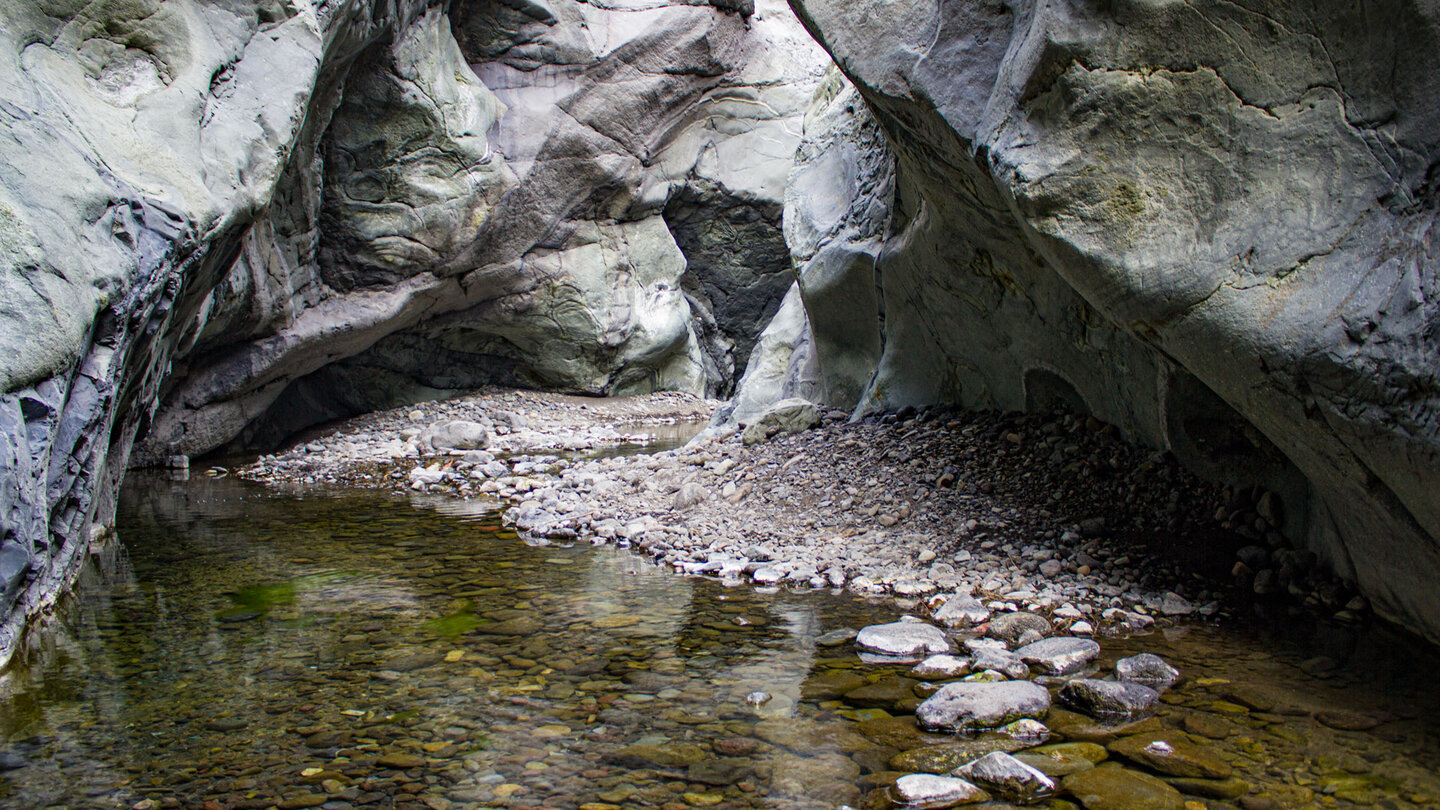
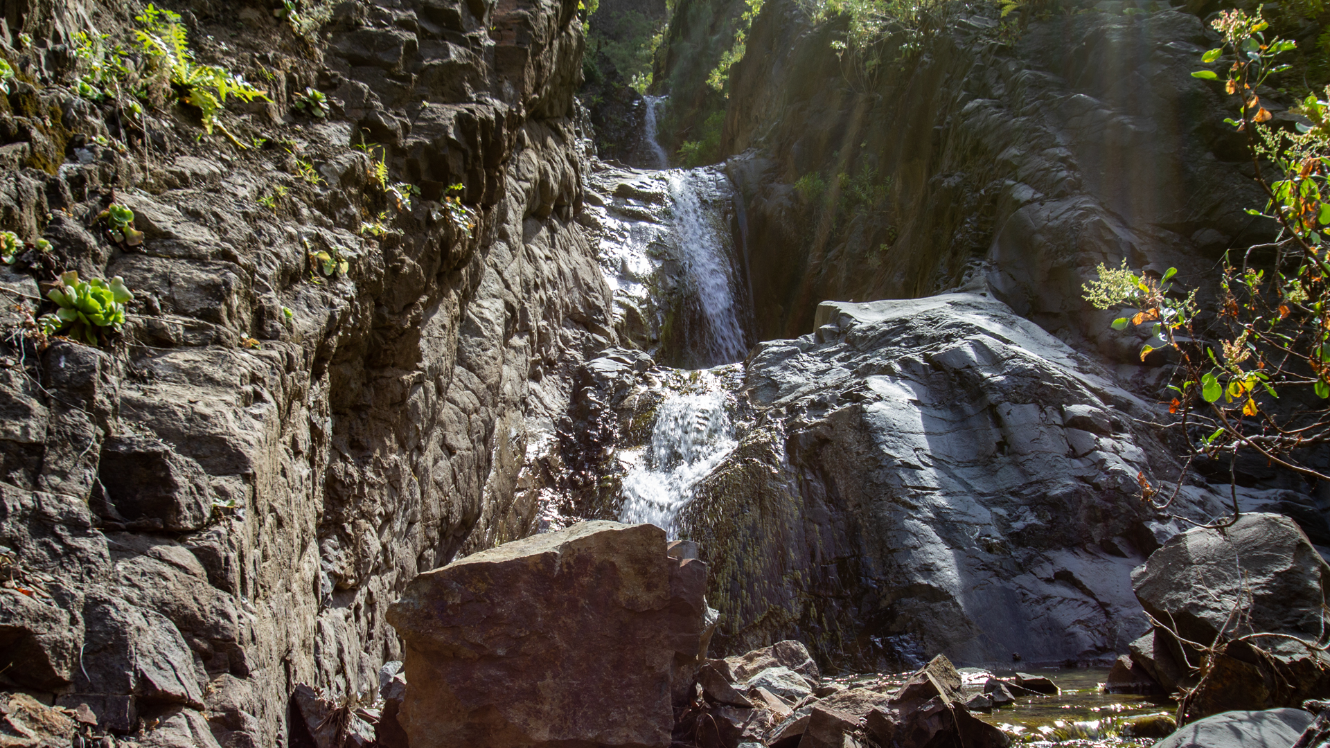
The name alone says it all: this is no casual stroll. Barranco de las Angustias – the gorge of death agonies – is the only natural outlet of the Caldera de Taburiente: a narrow, shadow-filled incision in the western edge of the island, through which the Río Taburiente carries its water to the sea. Those who hike here walk into the interior of La Palma – through rocks that close in overhead, across water, through light that barely filters through.
The Entrance to the Caldera from Below
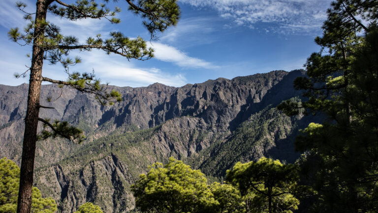
While La Cumbrecita and Los Brecitos open the national park from above, the Barranco de las Angustias provides access from below: from sea level, through the narrow gorge of the river, ever deeper into the interior of the Caldera. The hike begins at the trailhead parking lot on the LP-3, a few kilometres west of Los Llanos de Aridane, and covers around 12 kilometres to the heart of the park.
The Río Taburiente
The Río Taburiente is one of the few permanently flowing rivers in the Canary Islands. It rises from the springs of the Caldera, takes up several streams along the way and flows through the Barranco de las Angustias to the sea. On the hike you cross it multiple times – ankle-deep in some places, knee-deep in others, depending on the season. Waterproof hiking shoes aren’t optional—they are an absolute necessity.
Geology of the Gorge
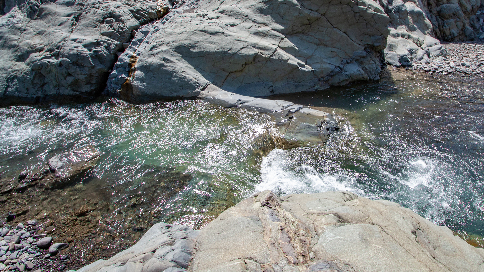
What makes Barranco de las Angustias so fascinating to geologists is that it exposes La Palma’s oldest rock layers. The gorge cuts deep into the submarine basement of the island – those rocks that once lay beneath sea level when La Palma was still growing. The spectacular pillow lava formations in the gorge are such submarine rocks: round, cushion-like basalt bubbles that form when lava solidifies under water.
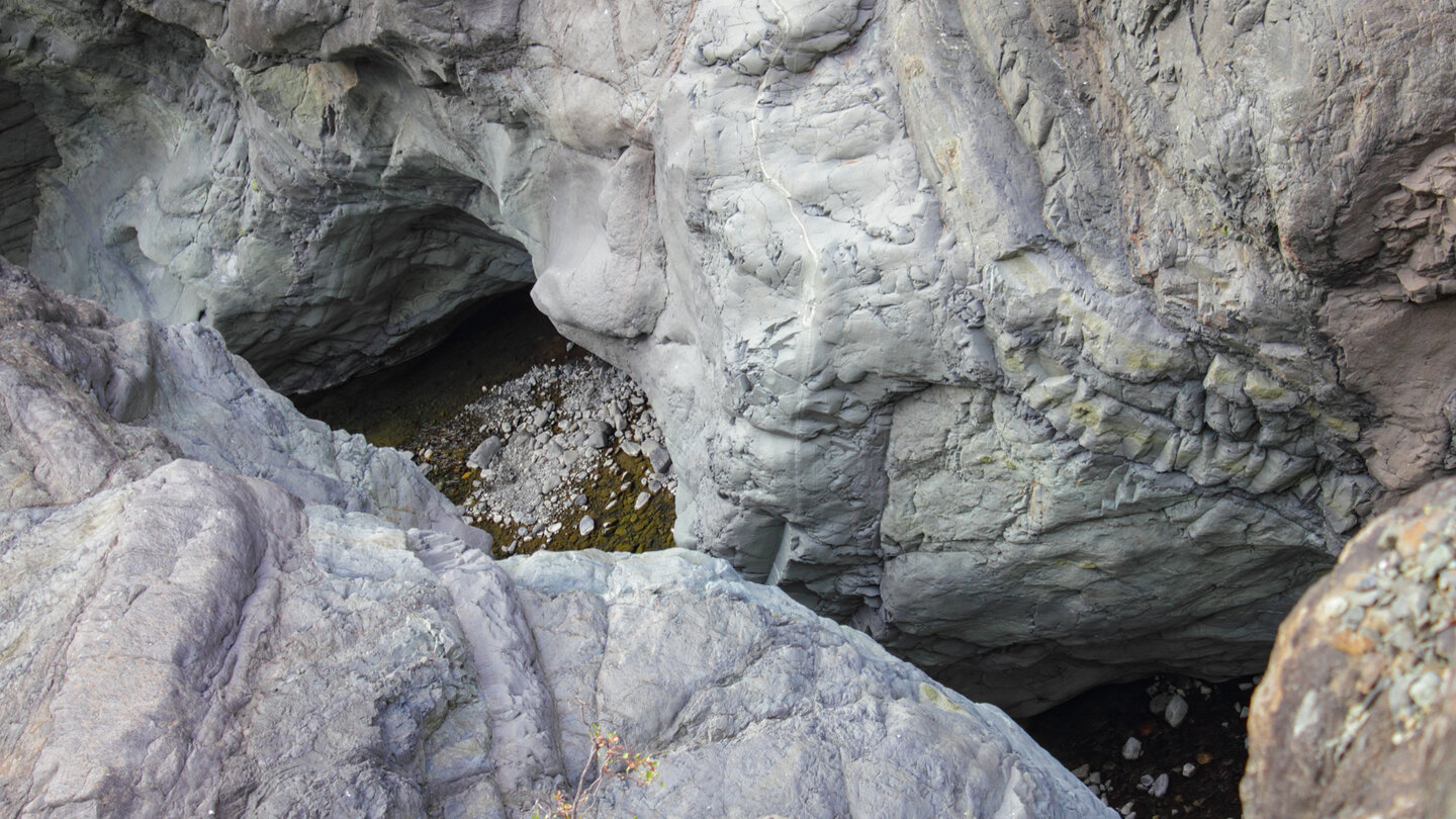
On the walls of the gorge you can also see basalt dykes: vertical intrusions of dark, dense rock cutting through the older layers. They mark ancient pathways of rising lava and give the rockface its characteristic striped pattern.
Safety Note:
The Barranco de las Angustias is CLOSED in rain – without exception. When it rains on the heights of the Caldera, the river can swell within minutes and turn the gorge into a deadly trap. Check the weather forecast for the Caldera before entering.
What You See Along the Way
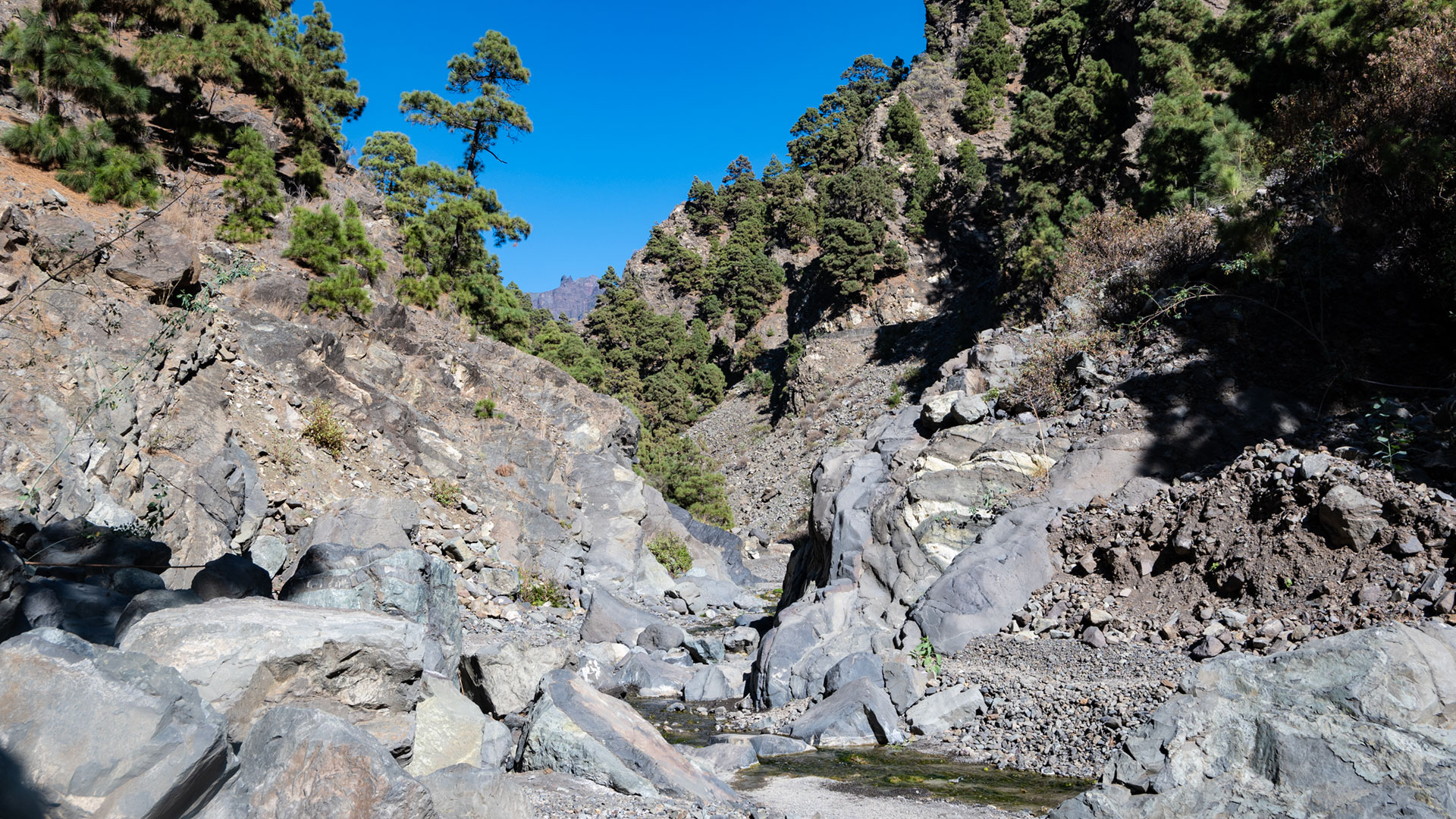
The flora in the gorge is extraordinary: dragon trees cling to the rock faces, laurel and til lean over the water, and in sunny spots species of spurge grow that look like they belong to another age. In calm stretches of the river, small alders and willow bushes grow – a green oasis amid dark basalt rock.
Visitor Information
Trail: PR LP 13
Length: approx. 12 km (one way)
Difficulty: medium to strenuous (river crossings)
Starting point: Trailhead parking on the LP-3 west of Los Llanos de Aridane
Condition: DRY WEATHER ONLY – closed during rain
Equipment: Waterproof shoes, 2 L water, sun protection
Frequently Asked Questions (FAQ)
Can you walk the Barranco de las Angustias all year round?
Does the trail go all the way to the Playa de Taburiente?
Are there any places to eat or drink along the way?
How dangerous is the Barranco de las Angustias really?
How many times do you have to cross the river?
How does the taxi shuttle to Los Brecitos work?
Do I need a permit for the hike?
The Submarine Pillow Lava Formations
One of the most fascinating geological features of the Barranco de las Angustias are the submarine pillow lava formations visible at several points along the gorge. These rounded, cushion-like basalt bubbles form when liquid lava solidifies under water: the outer layer cools immediately and forms a hard shell, while the interior is still fluid and expands. The result is these typical pillow shapes, often ranging in size from a human head to a barrel.
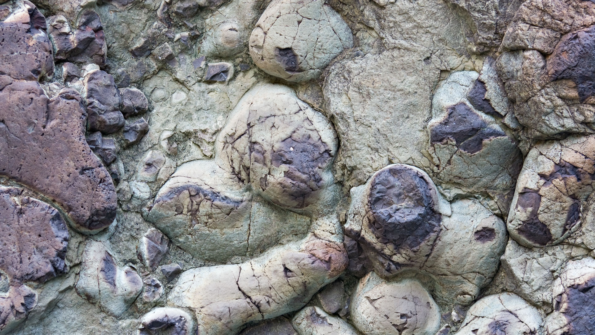
These rocks are the oldest visible rocks on La Palma – they formed when the island was still an underwater volcano rising from the floor of the Atlantic. Touching them in the gorge means literally touching the island’s foundation.
Flora of the Angustias Gorge
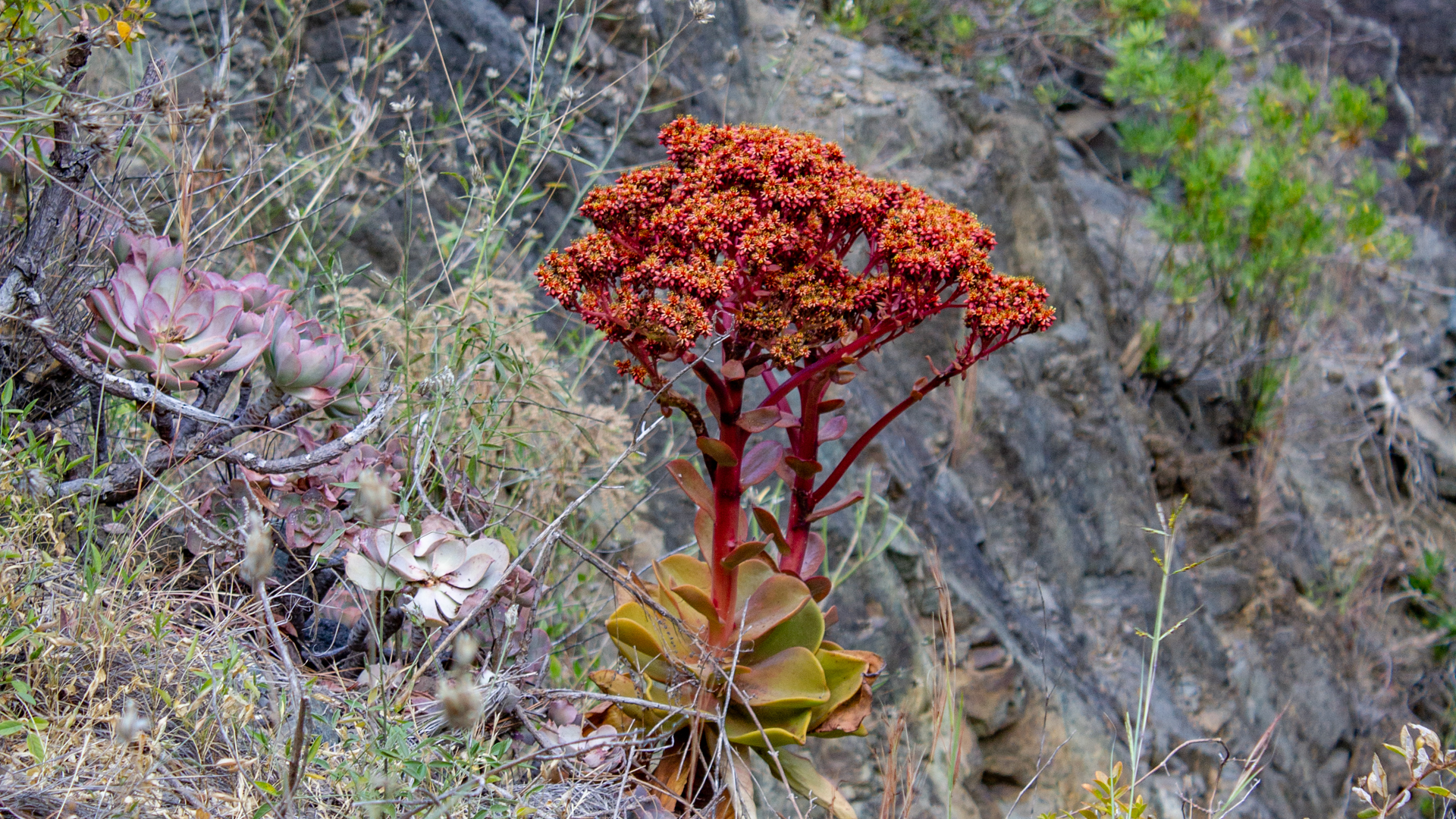
The vegetation of the Angustias Gorge is a mix of different altitude and moisture zones. At the lower end, close to the sea, spurge succulents and dragon trees (Dracaena draco) grow in the rock faces. Further up, where the gorge becomes damper and narrower, laurel, til and tree heather dominate. Along the permanently damp watercourses, reeds, water mint and rare ferns grow that are not found in other parts of the island.
The most famous plant of the gorge is the dragon tree. La Palma is home to some of the most impressive wild dragon trees in the Canaries – specimens that can be centuries old, their many-branched crowns visible from afar. In the Angustias Gorge they grow on the sheer rock faces, clinging to cracks with their roots.
When the Barranco is Most Impressive
Conditions in the Barranco de las Angustias vary greatly by season. In summer the Río Taburiente is calmer and the river crossings less adventurous – ideal for beginners. In late autumn and winter the river can run high; the gorge is then more dramatic but also more demanding. Never hike after heavy rain—the gorge becomes deadly.
Rent a Holiday Home in El Paso
El Paso is the nearest village to the entrance of the Barranco de las Angustias and the ideal base for all Caldera excursions. On Clariso.eu you will find vetted holiday homes and fincas in El Paso – many with mountain views and within hiking distance of the Caldera access points. If you want to get an early start, El Paso is your best base.
Accommodation tip: El Paso sits directly between Los Llanos de Aridane and the Caldera – the ideal base for anyone planning several Caldera excursions. Clariso.eu offers a good selection of houses in the municipality of El Paso.
Angustias as Part of the National Park
The Barranco de las Angustias is the sole outlet of the Caldera de Taburiente national park: all the water that falls on the slopes of the Caldera collects here and flows to the sea. This function makes the gorge unique not only geologically but also ecologically: it is the lifeline of the national park, the path by which water leaves the island. Without the Angustias there would be no Caldera – at least not in its present form.
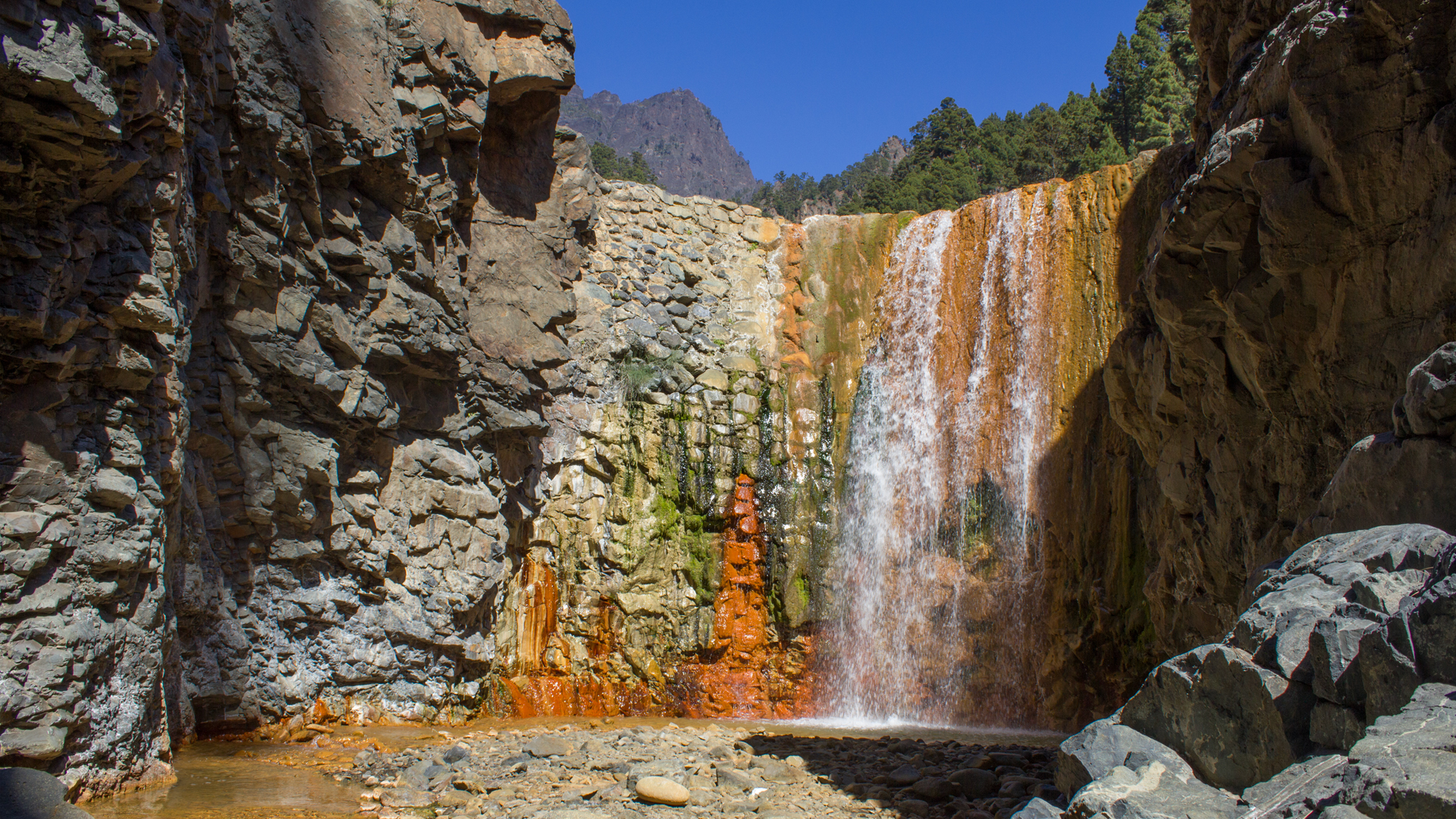
For national park visitors who know the Caldera from La Cumbrecita or Los Brecitos, descending through the Angustias is a completely different experience of the same natural space: instead of looking down from above, you approach from below and experience the Caldera from the inside. The two access points complement each other perfectly – knowing both means knowing the national park from two entirely different perspectives.
Summary: Barranco de las Angustias
The Barranco de las Angustias is the most dramatic entry into the Caldera de Taburiente national park – from below, through water and rock, past submarine pillow lava formations and basalt dykes. Dry weather and waterproof shoes only. For everyone who wants to experience La Palma at its most elemental.
This article is based on the on-the-ground knowledge of the Gequo editorial team – publishers of the Reisezeit hiking guides and operators of Sunhikes.com. Last updated: May 2026