Weather Apps & Webcams for La Palma – What Really Works
La Palma has a pronounced microclimate that most conventional weather apps regularly get wrong. While dense clouds hang over Santa Cruz, the sun is often already shining in Tazacorte. Using the right weather services and webcams makes planning hikes, day trips, and days at the beach considerably more reliable.
HD Meteo La Palma: The Gold Standard
The most precise source for La Palma weather is HD Meteo – operated by the Cabildo (island council) with a network of over 100 of its own weather stations. Real-time data for almost every village and hiking trail: wind, temperature, humidity, rainfall. Web: meteo.lapalma.es. On the go, the easiest option is the official La Palma Turismo app from the Cabildo de La Palma (La Palma Smart Island project). The HD Meteo system is integrated into it, along with hiking trails, sights, events, and many more useful travel tips.
Tip:
Check HD Meteo first thing in the morning at meteo.lapalma.es. No other weather source maps the island’s different climate zones as accurately.
AEMET: Official Warnings
The Spanish weather service AEMET publishes all official warnings for strong winds, heat, high waves, or thunderstorms. Before any hike, check not only the weather forecast but also the current warning level.
AEMET issues warnings in four colours: Green (no risk, normal conditions), Yellow (risk present, caution advised), Orange (considerable risk, dangerous conditions possible), Red (high risk, dangerous conditions expected). When Orange or Red warnings are in place, hiking trails on La Palma are regularly closed and beaches evacuated. Warning levels apply to specific regions of the island – the west and east sides can have different levels at the same time.
Windy.com: For Hikers and Astronomers
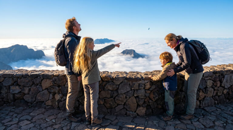
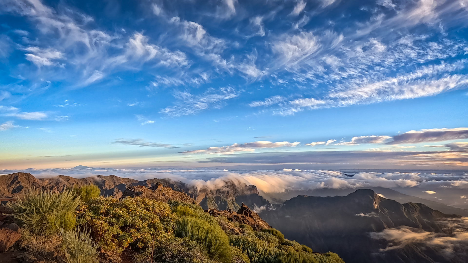
Windy.com shows cloud layers visually – you can see exactly whether you’ll be above or in the cloud cover. For the Roque de los Muchachos: if Windy shows clear skies at 2,400 metres and overcast at 800 metres, you’re heading up into sunshine above the sea of clouds. This is a frequent occurrence on La Palma and one of the most beautiful experiences on the island.
Tip:
To get an accurate assessment of the weather at the Roque de los Muchachos, select the “Cloud Layers” view in Windy. Then move the altitude slider on the right to approximately 2,000 to 2,400 metres. If Windy shows clear visibility there while dense clouds lie at sea level or around 900 metres, you’ve found the typical inversion weather pattern – one of the best times to drive up.
Webcams: When a Live View Helps More Than an App
A live webcam view often helps more than any forecast. The observatories at the Roque de los Muchachos operate their own webcams (accessible via the IAC portal or lapalma-webcam.com). If Santa Cruz is grey: check the Tazacorte camera – often brilliant blue sky on the west side.
Trail Status: senderosdelapalma.es
Before every hike, senderosdelapalma.es is a must. Trails are immediately marked as closed when there is acute fire or rockfall danger. After storms and Calima episodes, many routes are closed for safety reasons. Those who ignore this hike illegally and without insurance cover.
The traffic light system is easy to understand:
- Green: The hiking trail is open and accessible without restrictions.
- Yellow: A section of the hiking trail is closed.
- Red: The hiking trail is completely closed and must not be entered.
Weather Services Overview
| Service / App | Web Address | Strength & Use Case |
|---|---|---|
| HD Meteo (Cabildo) | meteo.lapalma.es | Over 100 local measuring stations on the island. Delivers unbeatable real-time data for almost every location. |
| AEMET | aemet.es | Official state weather service. Essential for official weather warnings (heat, wind, waves). |
| Windy.com | windy.com | Shows cloud layers at different altitude levels. Perfect for identifying inversion weather at the Roque de los Muchachos. |
| Hiking Trails | senderosdelapalma.es | The most important site for hikers. Shows daily which hiking trails are open or closed. |
| Social Media | @BomberosLaPalma (X) | Extremely fast updates during acute incidents (e.g. rockfall or forest fire). |
Weather Rules of Thumb for La Palma
A few rules of thumb help understand La Palma’s microclimate. The west side is almost always better than the east side when it’s cloudy. Above 1,200 metres there’s often sunshine when clouds lie below. Mornings are generally better than afternoons for mountain hikes – thermals build up in the afternoon. Calima episodes come from the east – when the sun is shrouded in a reddish haze, Calima is approaching. Then check hiking trails and drink plenty of water.
Weather Phenomenon: Temperature Inversion
The inversion on La Palma – when clouds sit at around 1,200 metres with brilliant sunshine above – is one of the most beautiful phenomena on the island. HD Meteo and Windy show it in advance. But sometimes a glance at the Roque webcam in real time explains more than any app: if the camera shows sunshine and blue sky while Santa Cruz below is grey, that’s the invitation to drive up.
Calima – More Than Just Hot Air
During a Calima, fine Saharan dust (Polvo en suspensión) reaches the Canary Islands. This not only raises temperatures but also significantly increases particulate matter levels.
Those who suffer from asthma or respiratory conditions should avoid physical exertion outdoors during a strong Calima. These are also unsuitable days for longer hikes or strenuous exercise. Staying well hydrated and spending time in air-conditioned spaces can also help.
Natural Pools: The Weather Report Alone Isn’t Enough
For a visit to popular natural pools like Charco Azul or La Fajana, a look at the weather report alone is not enough. Always also check the current tide calendar (Tabla de mareas), e.g. at tide-forecast.com.
Even on sunny days, a heavy swell or strong waves can be dangerous. If warnings are issued or waves are crashing over the pool walls, avoid swimming. Red flags or barrier tape from the local authority must always be observed – they are only put up when strong swell or dangerous currents make swimming unsafe.
Conclusion:
Three key apps to check daily: HD Meteo for real-time data, AEMET for warnings, Windy for the mountains.
senderosdelapalma.es before every hike – closed trails are not a suggestion, they’re a rule.
Frequently Asked Questions
Which weather app is best for La Palma?
How do you check whether the Roque is above the clouds?
What does AEMET warning level Orange mean?
Is a standard weather app sufficient for a La Palma holiday?
What is the best time of day to check the weather?
This article is based on the on-the-ground knowledge of the Gequo editorial team – publishers of the Reisezeit hiking guides and operators of Sunhikes.com. Last updated: May 2026