Road Trips on La Palma – Three Scenic Routes That Reveal the Island
The best way to get under the skin of La Palma is twofold: on foot and behind the wheel. What the walking trails reveal takes a few days to unpack. But set off in a car with no fixed agenda, pulling over whenever the mood takes you, and a totally different island opens up—dramatic coastal roads perched high above the Atlantic, hidden lookouts, and tiny, tucked-away villages you’d almost certainly miss if you planned every detail. These three scenic drives give you a brilliant framework, though truth be told, the finest discoveries are usually the ones you stumble upon by pure chance along the way.
Tour 1: The Mountain Highway – From the Sea Over the Clouds to the Roque
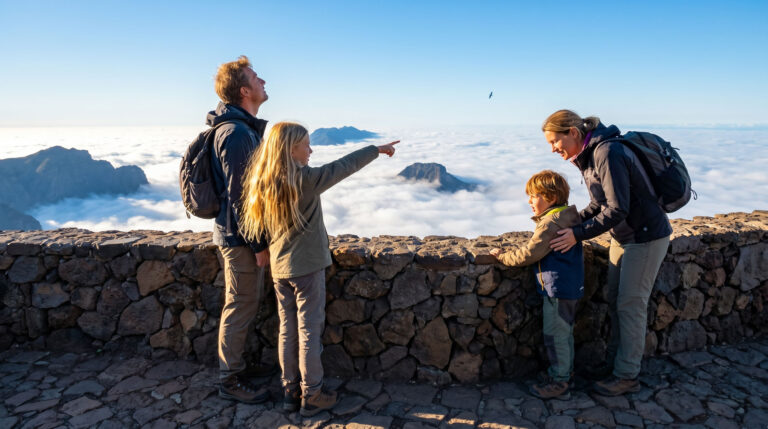
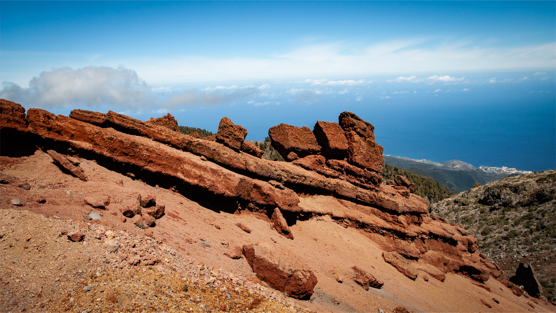
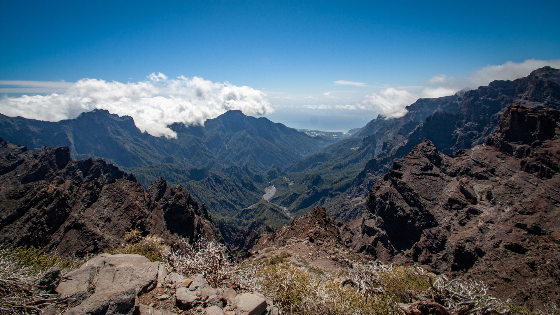
The most impressive panoramic road on the island runs from Santa Cruz de La Palma along the LP-4 up to the Roque de los Muchachos at 2,426 metres elevation. Over about 40 kilometres you pass through nearly
Above the clouds, an entirely different world awaits. The air is dry, the sky deep blue, and the view extends far over the Caldera de Taburiente to the neighbouring islands of Tenerife, La Gomera, and El Hierro. One of the finest viewpoints along this route is the Mirador de Los Andenes, which offers a spectacular look into the vast erosion crater of the Caldera.
Tour Facts
| Category | Details & Info |
|---|---|
| Route Length | approx. 40 km to the summit (as a loop via the north-west approx. 80 km) |
| Driving Time | approx. 1.5–2 hours (one way, without stops) |
| Highest Point | Roque de los Muchachos, 2,426 m |
| Highlights | Trade wind clouds, pine forests, observatories, Caldera panorama |
| Safety Note | In winter, snow and ice can occur above about 1,800 m – check road conditions beforehand. |
Tip:
Best to start early in the morning. Visibility is usually especially clear then, before clouds build up on the mountain slopes during the day.
Tour 2: The Wild Northwest – Pirate Bay, Dragon Trees, and Garafía
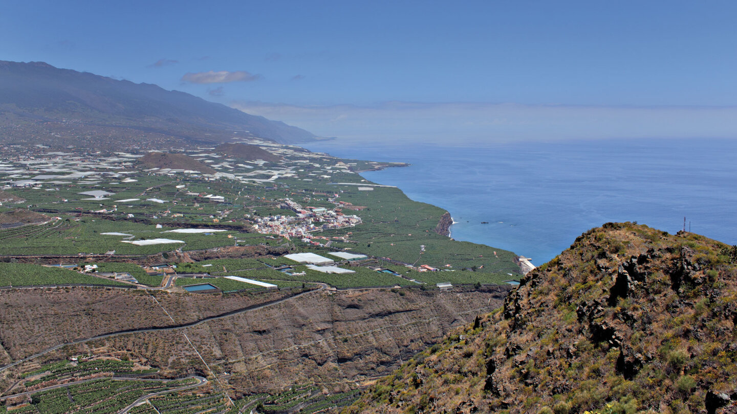
The north-west is one of the most unspoiled regions of La Palma. The loop drive starts in Los Llanos de Aridane and runs about 100 kilometres through Tijarafe, Puntagorda, and Santo Domingo de Garaf
A first highlight is the Mirador El Time. From here, a wide view opens over the Aridane Valley and the lava fields of the Tajogaite. A detour to Porís de Candelaria is well worth it, the famous Cuevas de Buracas, the former cave dwellings of the island’s indigenous people, as well as some of the oldest dragon trees on the island.
To round off the trip, a visit to the La Zarza archaeological park near Santo Domingo de Garafía is well worth making. There you can discover the mysterious rock carvings of the Benahoaritas in the middle of the laurel forest.
Tour Facts
| Category | Details & Info |
|---|---|
| Route Length | approx. 100 km loop |
| Driving Time | approx. 3 hours driving time |
| Recommended Duration | Full-day tour with stops |
| Highlights | Mirador El Time, Porís de Candelaria, dragon trees, La Zarza archaeological park |
Tour 3: The Green Northeast – Laurel Forests and Natural Pools
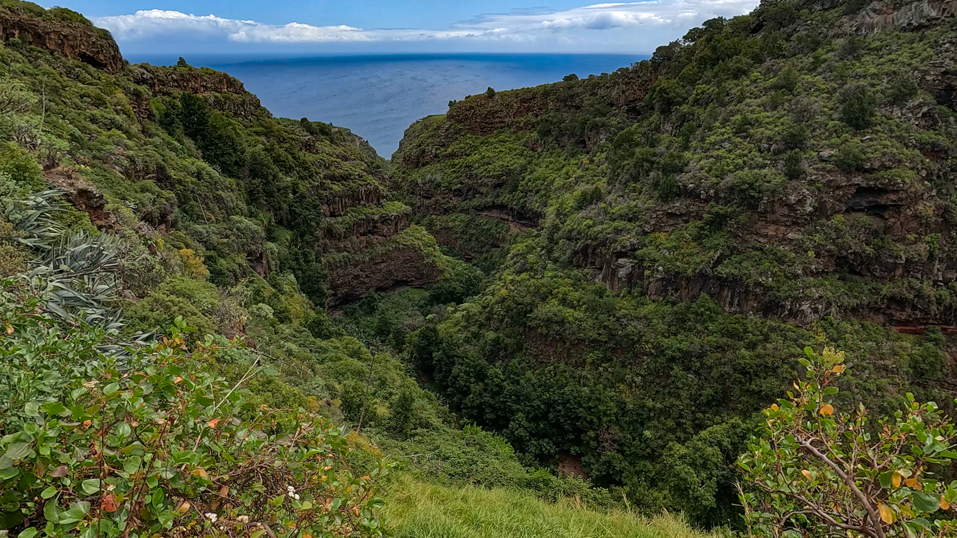
The north-east showcases the lush, verdant side of La Palma. The loop drive starts in Santa Cruz de La Palma and runs about 50 kilometers through laurel forests, small coastal villages, and to some of the most
A highlight is the Cubo de la Galga, where even a short walk leads deep into the ancient laurel forest. Also worth seeing is the UNESCO Biosphere Reserve Los Tilos, one of the last surviving laurel forests in Europe. Those looking for one of the most beautiful natural beaches in the Canary Islands should visit Playa de Nogales – the roughly 15-minute descent is worth it for the dramatic scenery alone. However, strong currents mean swimming there is frequently dangerous. For safe swimming, the natural rock pools at Charco Azul and La Fajana are the better choice. Both are protected by lava rock and have restaurants, changing facilities, and sun terraces.
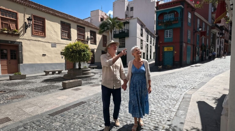
A lovely way to wrap up the tour is a stroll through the historic coastal village of San Andrés with its narrow lanes and traditional Canarian houses.
Tour Facts
| Category | Details & Info |
|---|---|
| Route Length | approx. 50 km |
| Driving Time | approx. 1.5 hours without stops |
| Recommended Duration | Day trip |
| Highlights | Los Tilos, Cubo de la Galga, Playa de Nogales, Charco Azul, La Fajana |
Practical Tips for the Road Trips
La Palma’s main roads are built to a high standard, yet winding and narrow in places. In the mountains, allow about one hour per 30 kilometers of driving distance.
On narrow mountain roads, uphill traffic always has the right of way. In practice, mutual consideration and a little patience usually ensure the smoothest traffic flow.
Petrol stations are located in Santa Cruz de La Palma, Los Llanos de Aridane, El Paso, and Fuencaliente, among others. Before heading into the sparsely populated north or up to the Roque de los Muchachos, it is worth filling the tank.
Road Trip Overview
| Tour | Character | Driving Time | Highlights |
|---|---|---|---|
| ⛰️ Mountain Highway | High mountain & volcanic landscape | approx. 1.5–2 hrs. | Roque de los Muchachos, observatories, Caldera, sea of clouds |
| 🌲 Northwest | Untouched & wild | approx. 3 hrs. | Mirador El Time, Porís de Candelaria, dragon trees, Garafía |
| 🌊 Northeast | Laurel forest & coast | approx. 1.5 hrs. | Los Tilos, Playa de Nogales, Charco Azul, La Fajana |
Conclusion:
La Palma is too small to be in a hurry – and too varied to get to know completely in a single day. Those who leave enough time for spontaneous stops often discover the most beautiful
Frequently Asked Questions
Which road trip on La Palma is the most impressive?
Can you drive the road to Porís de Candelaria yourself?
Are there restaurants and places to stop along the way?
Do you need a 4×4 for the tours?
Which tour is particularly suitable for families?
This article is based on the on-the-ground knowledge of the Gequo editorial team – publishers of the Reisezeit hiking guides and operators of Sunhikes.com. Last updated: May 2026