Driving Around La Palma – Three Routes, Three Worlds
La Palma is 47 kilometres long and 29 kilometres wide – but anyone who wants to explore the island fully by car will quickly find a whole day can easily disappear. Not because of the distances, but because of the roads: hairpin bends, narrow passes and countless stopping points that throw any schedule out the window. This is what makes La Palma the ideal island for drivers – provided you are prepared to drive slowly and stop often.
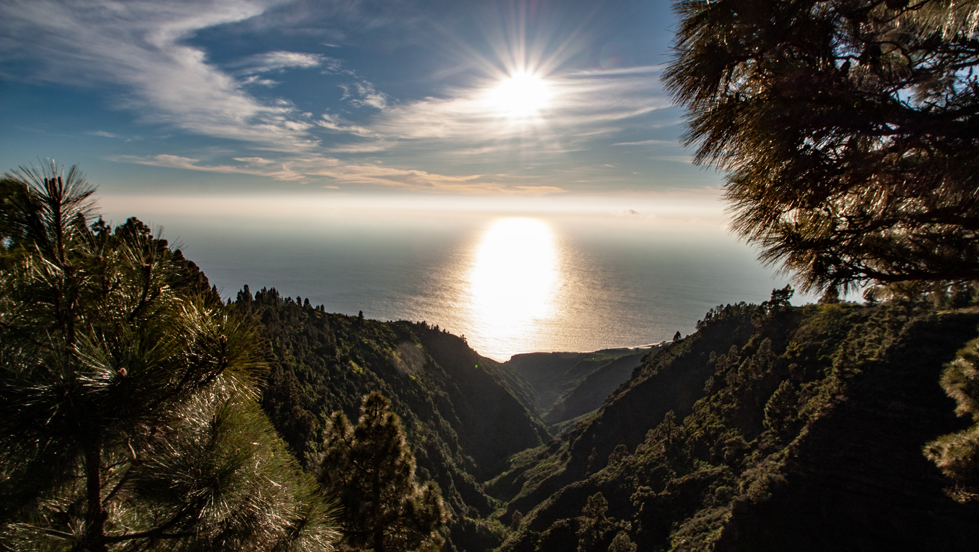
Three routes cover the island completely: the caldera highland road (east-west, over the Roque de los Muchachos), the northwest tour (from Los Llanos through Garafía), and the northeast route (from Santa Cruz via Puntallana to Barlovento).
Route 1: The Caldera Highland Road
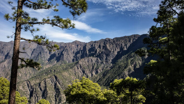
The LP-4 from Santa Cruz to the Roque de los Muchachos and back down: 40 kilometres of hairpin bends that pass through every climate and vegetation zone on the island. From the subtropical coastal climate in Santa Cruz, through the laurel forest, the pine forest and the cloud inversion layer, up to 2,426 metres – in less than two hours of driving. The highlight is the summit, with views into the Caldera and over the sea of clouds. Bring warm layers – at the Roque it can drop below 10°C even in summer.
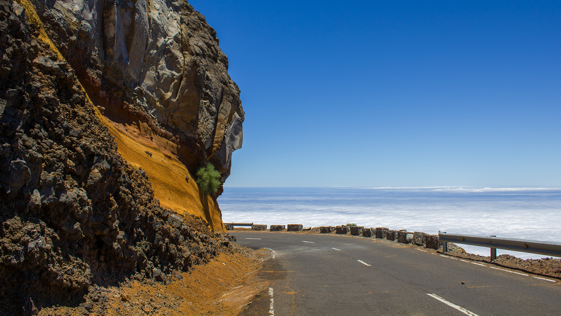
Stops along the way: Mirador de la Cumbrecita (turnoff – short stop), Roque de los Muchachos visitor centre, Observatorio del Roque de los Muchachos (viewpoint). Estimated total driving time: 3–4 hours including stops.
Route 2: Northwest Tour – Mirador del Time to Garafía
Start in Los Llanos de Aridane, first stop at the Mirador del Time (LP-1 heading north): dizzying views down into the Barranco de las Angustias and the Aridane Valley. On through Tijarafe (detour to the Pirates’ Cove possible), Puntagorda (almonds, wine growing, Mirador de los Dragos) and on to Santo Domingo de Garafía. Total distance including detours: approx. 100 km, actual drive time approx. 3 hours.
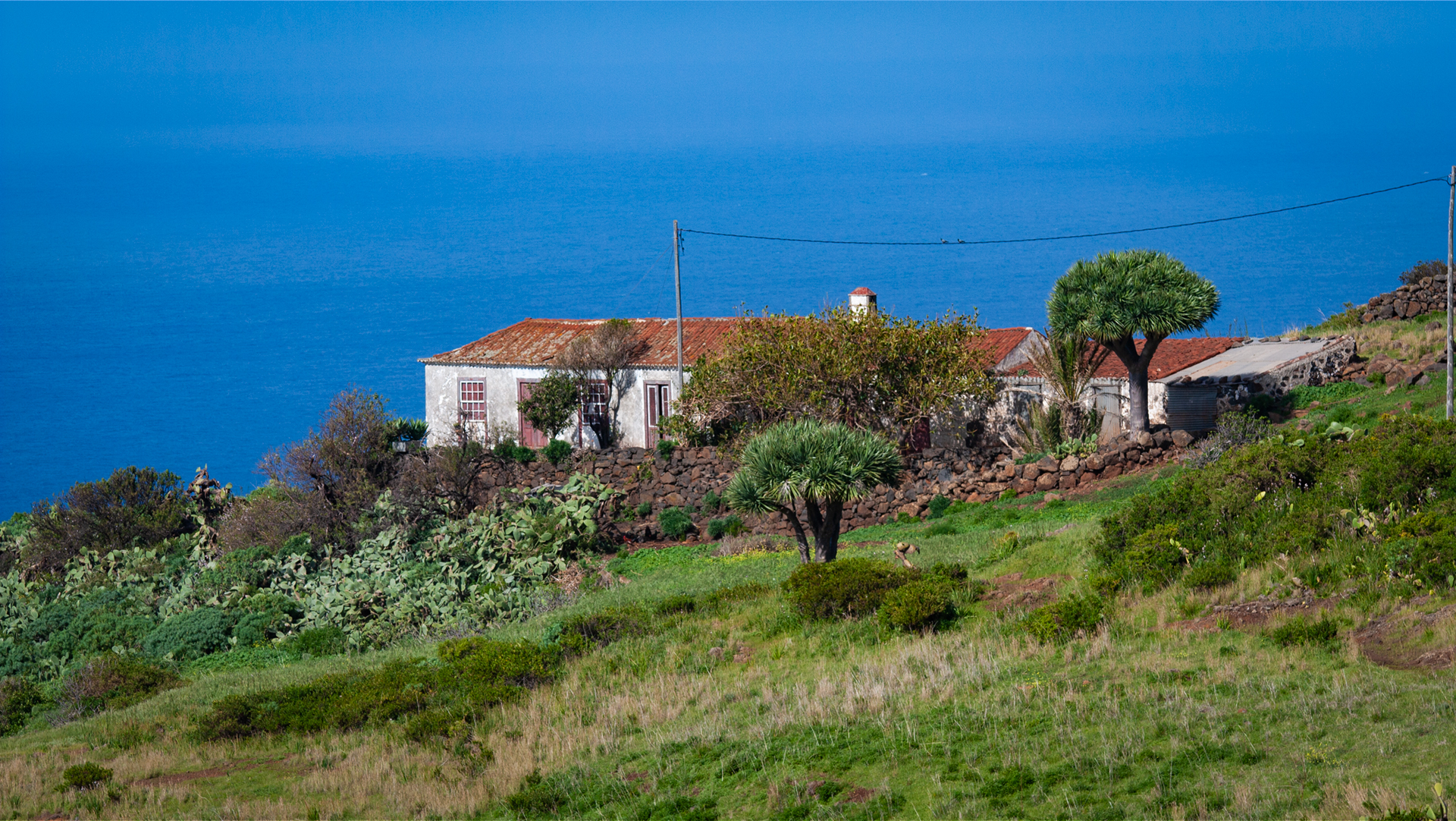
Recommended stops: Mirador del Time (20 min.), Ermita de Nuestra Señora de las Angustias (10 min.), Tijarafe (café stop), Mirador de los Dragos (15 min.), Puntagorda (market on Saturdays/Sundays), Santo Domingo de Garafía (church, museum). Worth allowing a full day for.
Route 3: Northeast Route – Santa Cruz to Barlovento
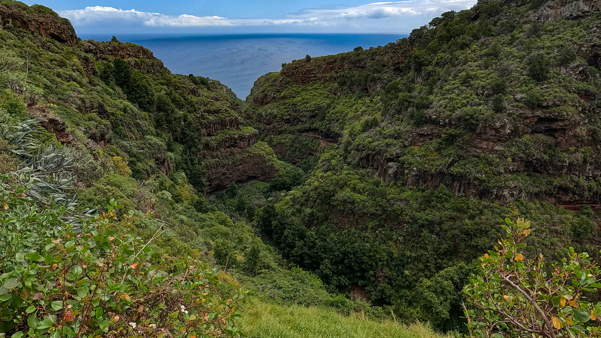
The greenest part of the island: from Santa Cruz along the coastal road LP-102, through Puntallana (Casa Luján), on to the Cubo de la Galga, the arched Puente de Los Sauces bridge (Spain’s longest single-arch bridge, 357 m), San Andrés (old town, Charco Azul), Puerto Espíndola (Ron Aldea distillery, Mesón del Mar), Los Tilos and Barlovento. Total distance approx. 50 km, actual drive time approx. 1.5 hours – with stops, a full day.
All Routes at a Glance
| Route | Distance | Highlights |
|---|---|---|
| Caldera Ridge Road | LP-4, ca. 40 km | Roque de los Muchachos, vegetation zones, sea of clouds |
| Northwest Tour | LP-1, ca. 100 km | Mirador del Time, Garafía, Puntagorda, almond groves |
| Northeast Route | LP-1/LP-102, ca. 50 km | Cubo de la Galga, Arch Bridge, Ron Aldea, Los Tilos |
Practical Tips for Drivers
Car rental: A standard compact car is fine for all main roads. For dirt tracks (Pista de Valencia, Playa de Las Cabras) a higher ground clearance is recommended. Petrol stations are found in Los Llanos, Santa Cruz and Barlovento – fill up before setting off into remote areas. GPS or an offline map is recommended: mobile coverage is patchy in gorges and on north-facing slopes.
The Tunnel Climate Effect: On La Palma the weather can change completely within just three minutes. The road tunnel (LP-3) beneath the Cumbre connects two often completely different climate zones: while fog or rain may still prevail on the east side, the sun frequently shines in the west – or exactly the other way round. For road trips this is a major advantage: if the weather is not cooperating, a short drive through the tunnel is often enough to find completely different conditions on the other side.
Frequently Asked Questions (FAQ)
Which route is best for a single day?
Are the roads on La Palma dangerous?
The Southern Island Route – Fuencaliente and Mazo
Alongside the three main routes, there is a fourth worthwhile drive: the southern route from Santa Cruz to Fuencaliente via the LP-2. The route passes through Mazo (pottery, Ecomuseo Belmaco, weekly market), Villa de Mazo, then through the wine-growing areas to the lighthouses and salt flats of Fuencaliente. Total length approx. 35 km, driving time approx. 1 hour – with stops, half a day.
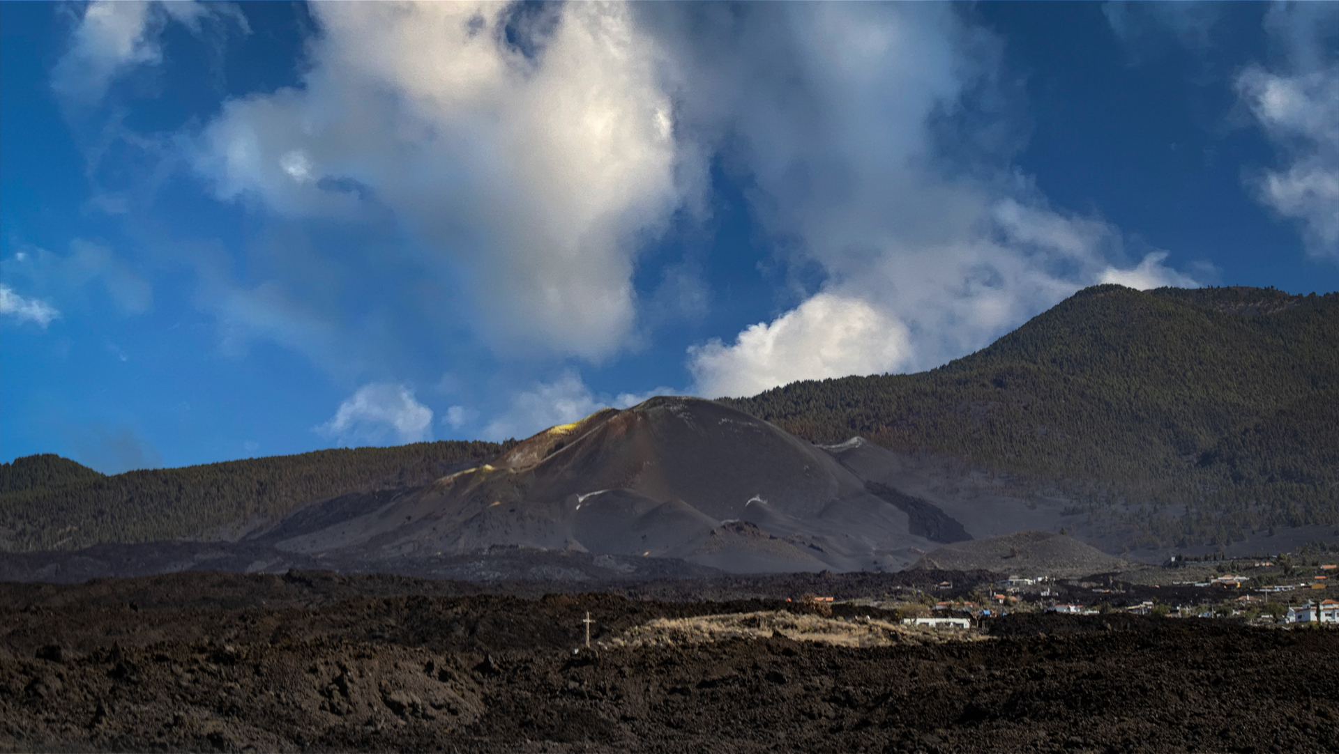
On the return, a highlight: the descent towards Jedey and Tajuya to see the Tajogaite lava field from the LP-211. Here the scale of the 2021 eruption is most clearly felt – black lava all the way to the sea, new roads through the lava field. A combination of cultural route (south) and geology excursion (west coast) in a single day trip.
This article is based on the on-the-ground knowledge of the Gequo editorial team – publishers of the Reisezeit hiking guides and operators of Sunhikes.com. Last updated: May 2026