
Circular hiking trail Pico de la Nieve and Erita de los Guanches: petroglyphs and summit panorama
The Pico de la Nieve (2,232 m) is one of the highest viewpoints on the southern chain of the Caldera de Taburiente National Park. The circular hike combines the ascent to the summit with a visit to the Erita de los Guanches – one of the most important archaeological sites in La Palma. 5.0 km, 327 m, moderate.
The start is at the car park at the end of the Pista del Pico de la Nieve. Approach via the LP-4 from Santa Cruz at kilometer 22. If you don’t want to drive on the piste, park your car on the main road and walk along the piste or the PR-LP 3.
The Erita de los Guanches, discovered in 1922 on the Pico de la Sabina, is a Tagoror – a meeting place for the indigenous people of La Palma. Around 60 areas with geometric motifs: spirals, wavy lines, alphabetic symbol motifs. They are located behind a massive grille to protect against vandalism.
Route details at a glance
| Route type | Circular hike |
|---|---|
| Distance | 5.0 km |
| Elevation gain | 327 m ascent / 325 m descent |
| Highest point | 2,213 m / Peak Pico de la Nieve: 2,232 m |
| Lowest Point | 2,018 m (Pista Pico de la Nieve car park) |
| Duration | 1:45-2:15 hours |
| Difficulty | moderate |
| Starting point | Parking lot at the end of the Pista del Pico de la Nieve (max. 4 cars), LP-4 at km 22 |
| Path marking | PR-LP 3 (yellow-white) + GR-131 (red-white) |
| Protection status | Caldera de Taburiente National Park |
| Equipment | Water, provisions, sun protection, wind protection, sturdy shoes, rain protection |
Directions
Approach via the LP-4 from Santa Cruz, at km 22 turn onto the Pista del Pico de la Nieve. Parking at the end of the slope – maximum 4 cars. Alternatively, if you don’t want to drive on the piste: park your car on the main road, climb via the piste or the PR-LP 3 (yellow-white marking).
The route in detail
Climb to Pico de la Nieve (2,232 m)
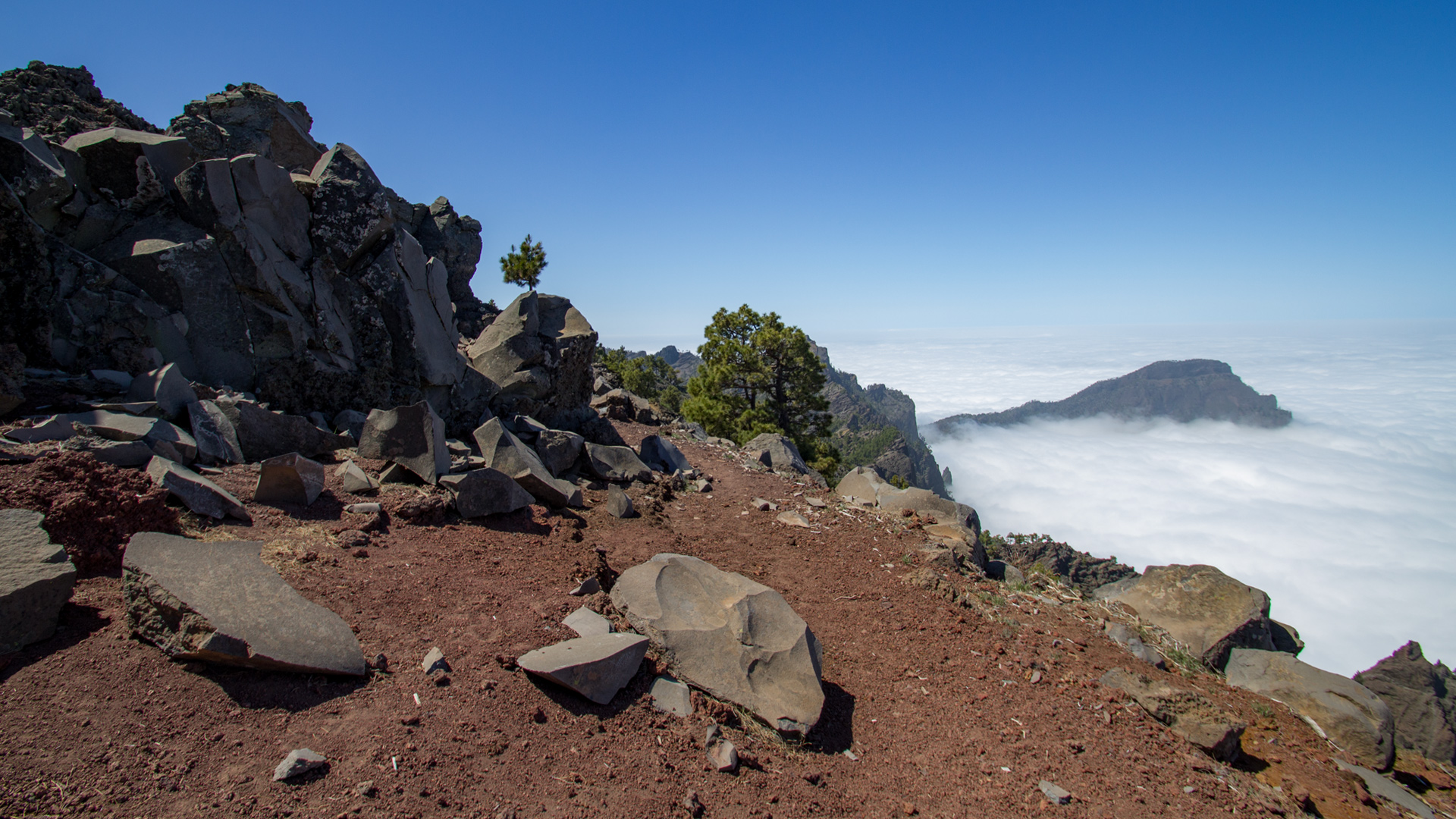
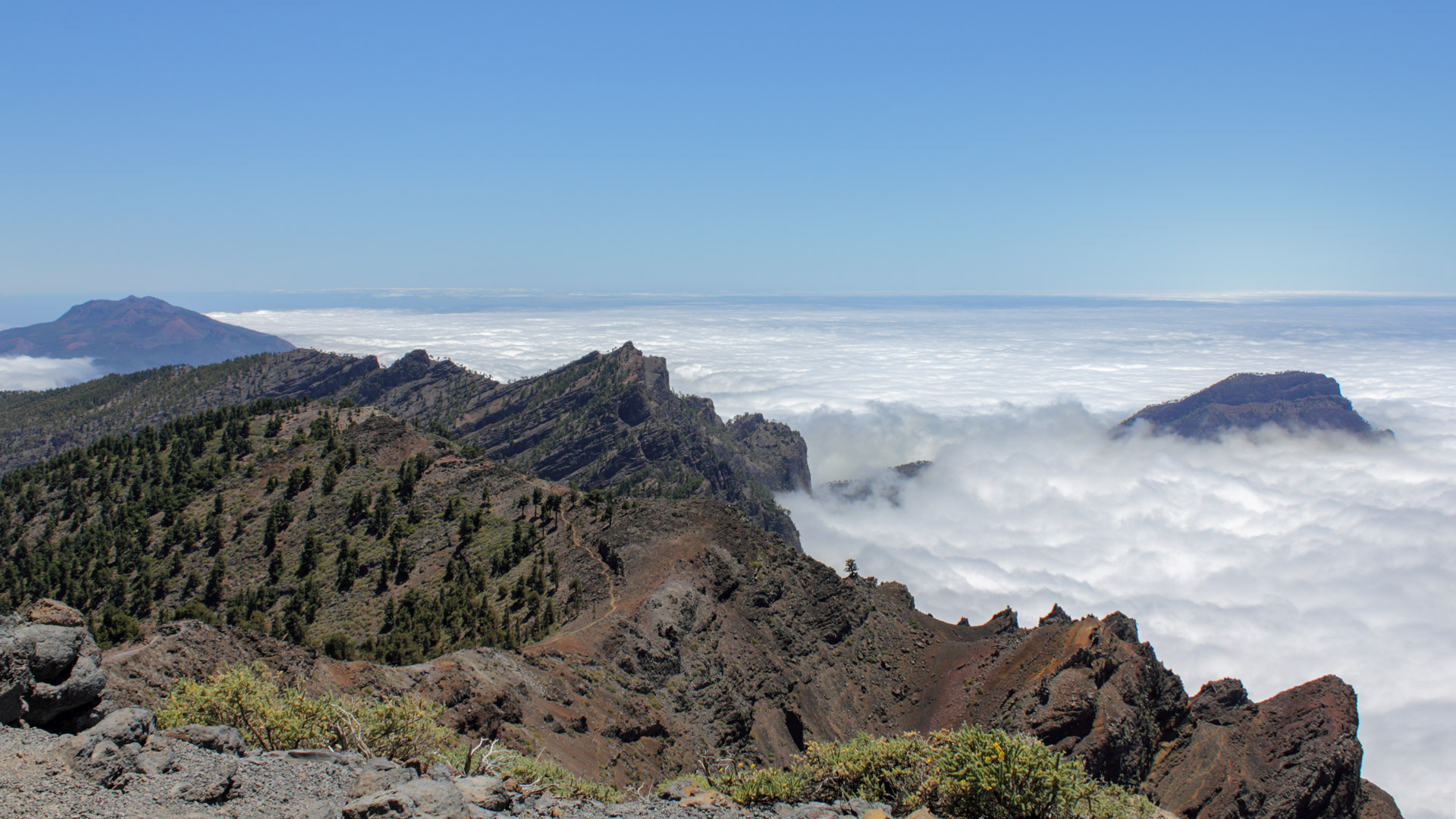
The PR-LP 3 (yellow-white) begins above the car park, which you follow to the left. The path winds uphill through pine forest to the mountain ridge. From there: wonderful view over the jagged, steeply sloping walls of the erosion crater of the caldera. At the crossroads, turn right and continue uphill on the GR-131 (red-white) to the summit.
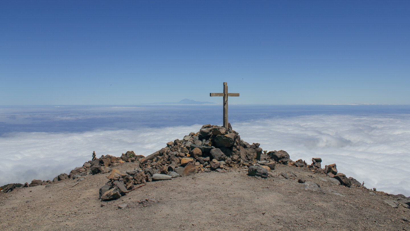
The summit cross of the Pico de la Nieve sits atop a stone pyramid at 2,232 meters. If conditions are good: Tenerife on the horizon.
Descent and Erita de los Guanches
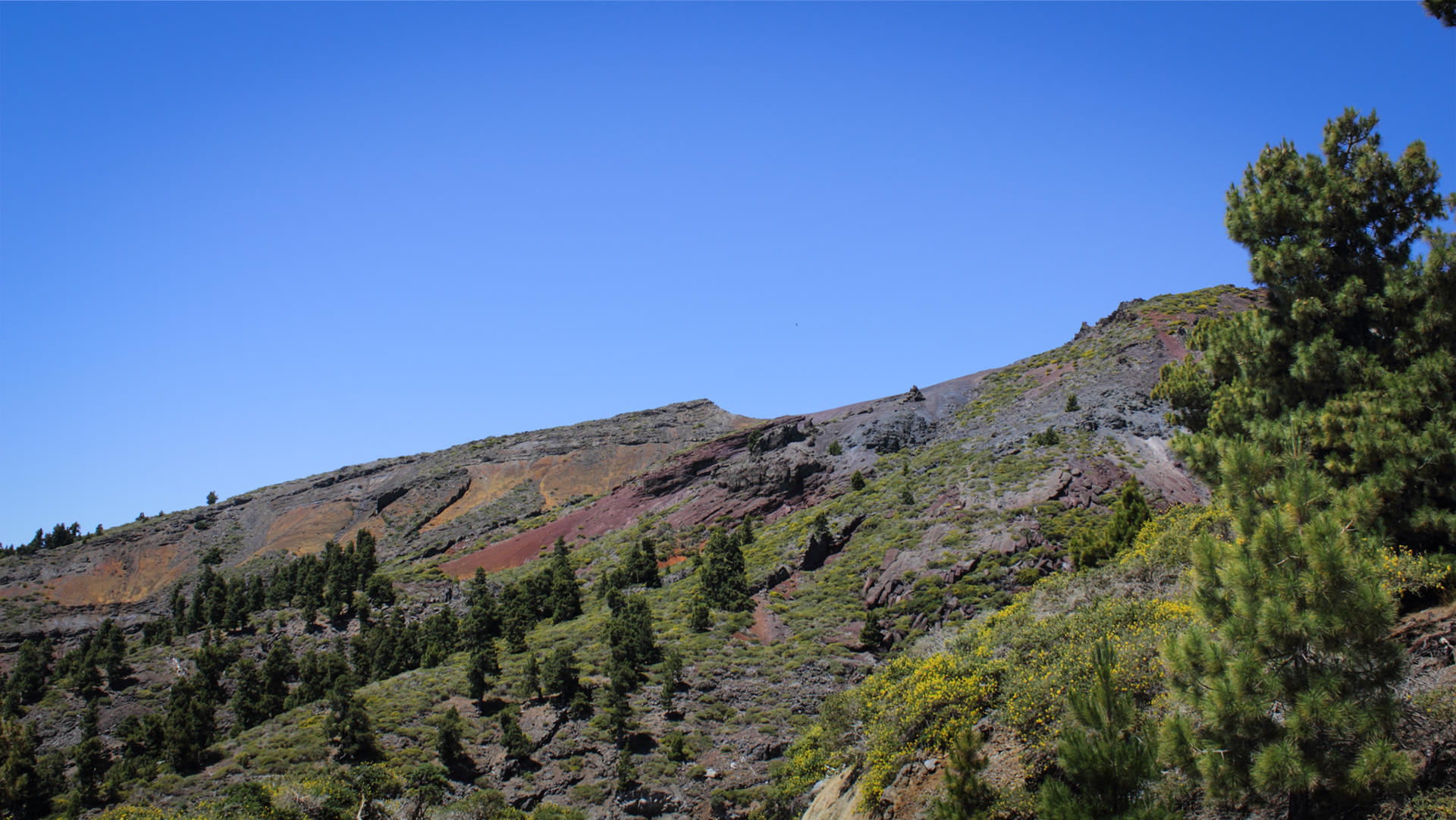
From the summit take the same route back to the crossroads on the ridge. Then take the GR-131 down towards Refugio El Pilar. The path leads through the Degollada del Barranco de la Madera with red-yellow rock layers. After a grey basalt wall: crossroads with signs for “Petroglifo, Tagororo”. Here the path branches off to the Erita de los Guanches.
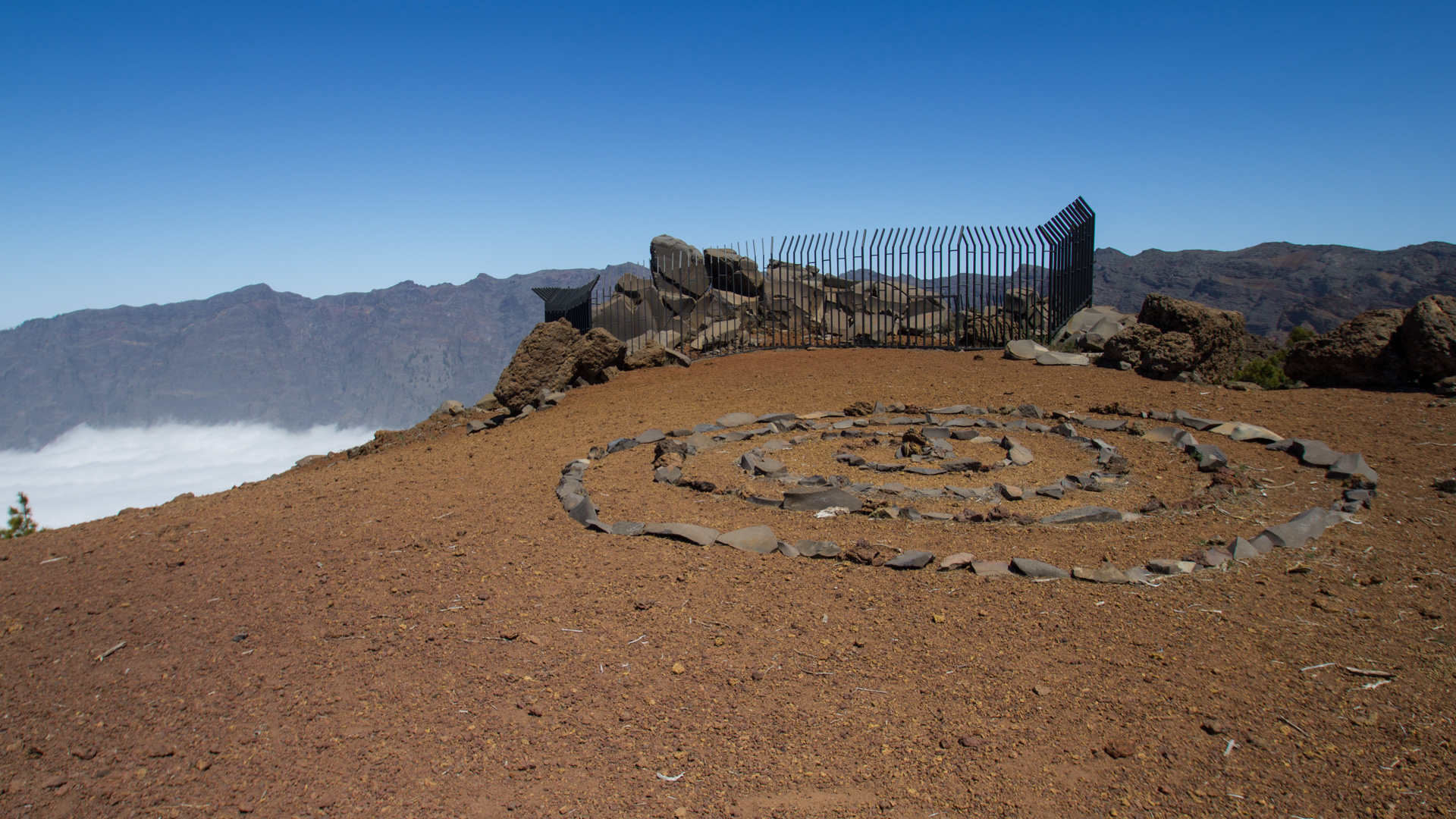
The site at Pico de la Sabina (2,142 m) was a meeting place for the Benahoritas in pre-Hispanic times. The petroglyphs behind the grid show geometric motifs – spirals, wavy lines and symbols.
Way back to the car park
Continue from Pico de la Sabina. Shortly behind the summit you come to a parallel path – use this to return. At the Degollada del Barranco de la Madera follow the path that branches off to the right. This gently descends along the side of the Pico de la Nieve with views of the east of the island. Leads into the ascent path back to the car park.
The Erita de los Guanches — archaeological significance
The Erita de los Guanches is one of the most important and oldest archaeological sites in La Palma. It was discovered in 1922 on the Pico de la Sabina on the edge of the Caldera de Taburiente. The Tagoror — a Guanche gathering place — houses about 60 surfaces with geometric motifs: mainly spirals, wavy lines and other simple line motifs described as alphabetic symbols.
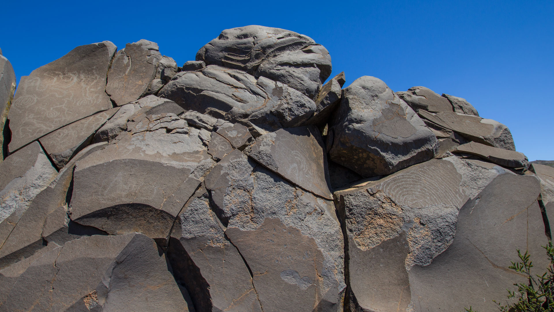
The location at 2,142 meters, on a rocky ridge directly above the caldera, is significant: the Benahoritas considered the caldera to be the sacred centre of the island. The Tagoror was probably a place of ritual gatherings where decisions were made and sacrifices were made.
Best travel time
| Season | Character | Note |
|---|---|---|
| Spring (March-May) | Clear view of Tenerife | Optimal conditions |
| Summer (June–Aug) | Mostly over clouds, intense sun | UV protection mandatory; start early |
| Autumn (Sept-Nov) | Best light for photos | Frequently visited season |
| Winter (Dec-Feb) | Snow possible; Summit icy | Only go if conditions are safe |
Combinable tours
| Tour | Data | Character |
|---|---|---|
| Caldera high-altitude hiking trail Pico de la Nieve → Roque de los Muchachos | 20.5 km, difficult | Large peak chain as a route |
| Hike Pico de la Nieve – Pico de la Cruz | 10.1 km, moderate | Longer chain of peaks than the outward and return route |
The hike is short enough to do a second tour on the same day. Recommended: The drive to Mirador de Los Andenes (a few kilometers on the LP-4) and from there the walk to Roque de los Muchachos (7.1 km, moderate). A morning on the Pico de la Nieve with petroglyphs, an afternoon on the summit ridge to the Roque: La Palma from its highest side in one day.
GPS track and 3D route planner
To the route page on Sunhikes: circular hiking trail Pico de La Nieve – Erita de los Guanches
3D route planner from Sunhikes
Practical Tips
Parking space at the end of the slopes: only 4 cars. If the car park is full, park your car at LP-4. No places to stop for refreshments. Sun protection essential due to intense UV radiation at over 2,000 m.
Note: National Park
Completely within the Caldera de Taburiente National Park. Road restrictions, garbage collection, fire ban.
The Pico de la Nieve — name and history
The Pico de la Nieve — literally ‘snow peak’ — is so named because in some winters it is actually covered in snow. Historically, snow was harvested here in winter and transported down to the towns — one of the few ways to get natural ice in the Canary Islands before cooling systems were available. Snowmelt troughs (Pozos de Nieve) can also be found in other high-altitude areas on La Palma.
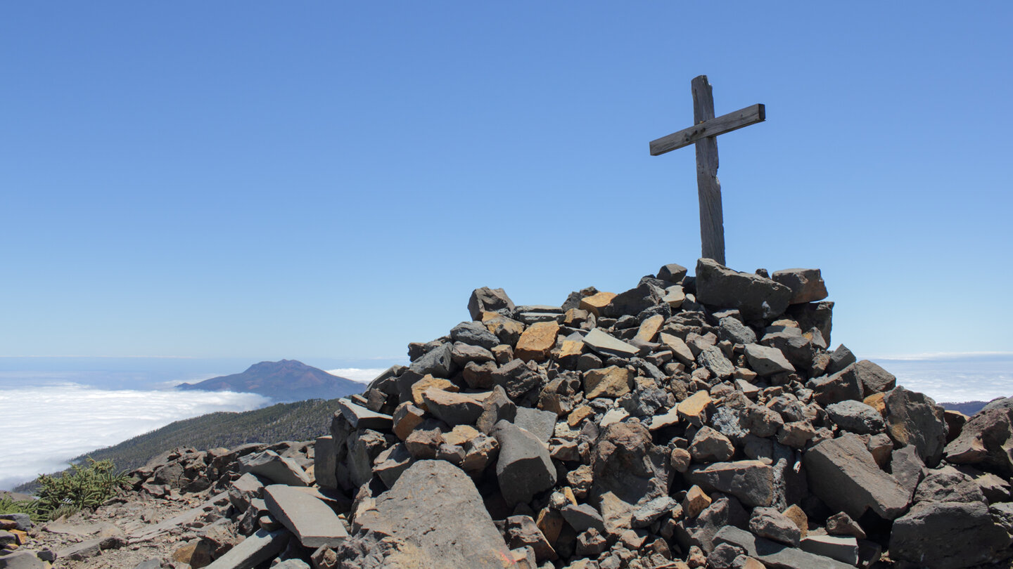
At 2,232 meters, Pico de la Nieve is one of the highest points on the southern ridge of the caldera. It is located directly on the GR-131, the El Bastón long-distance hiking trail, which crosses La Palma from north to south. The summit cross on a stone pyramid is visible from afar.
The Degollada del Barranco de la Madera – geological peculiarity
On the descent from Pico de la Nieve towards Erita de los Guanches you pass the Degollada del Barranco de la Madera – a saddle with particularly impressive red-yellow rock layers on the steep edges of the caldera. These colours are created by iron oxidation of the rock surfaces – a geological fingerprint of the lava flows from which this ridge zone is built.
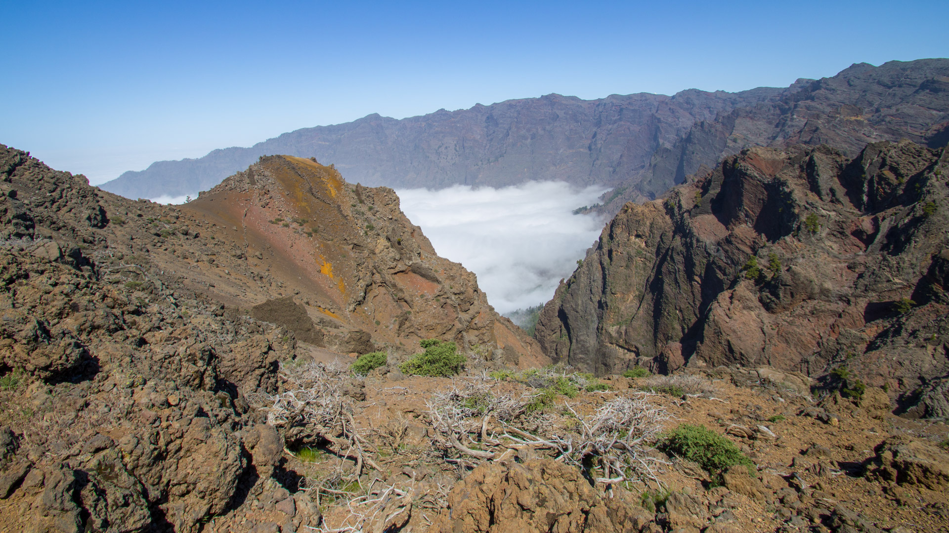
The Degollada del Barranco de la Madera is also a meteorologically fascinating spot: Here you can – depending on the wind direction – observe the clouds that build up over the ridge area from the east and disperse on the west side. The interplay of colours of the red-yellow rock layers in this saddle changes with the light – in low winter sunlight the red and yellow tones shine most intensely.
The grey basalt wall just before the Erita junction is a volcanic dyke: a solidified lava flow from a crack in the rock. Harder material than the surrounding area — it remained standing while soft rock eroded. Similar to the Pared de Roberto on the way from Mirador de Los Andenes to Roque de los Muchachos.
View of Tenerife from the summit
In clear conditions, Teide on Tenerife can be seen on the horizon from the summit cross of Pico de la Nieve – at 3,718 meters, the highest mountain in Spain and the highest island volcano in the world. There are around 140 kilometers of Atlantic Ocean between the two islands. The best chances for this view: clear autumn days between October and December, when the trade wind clouds are less active.
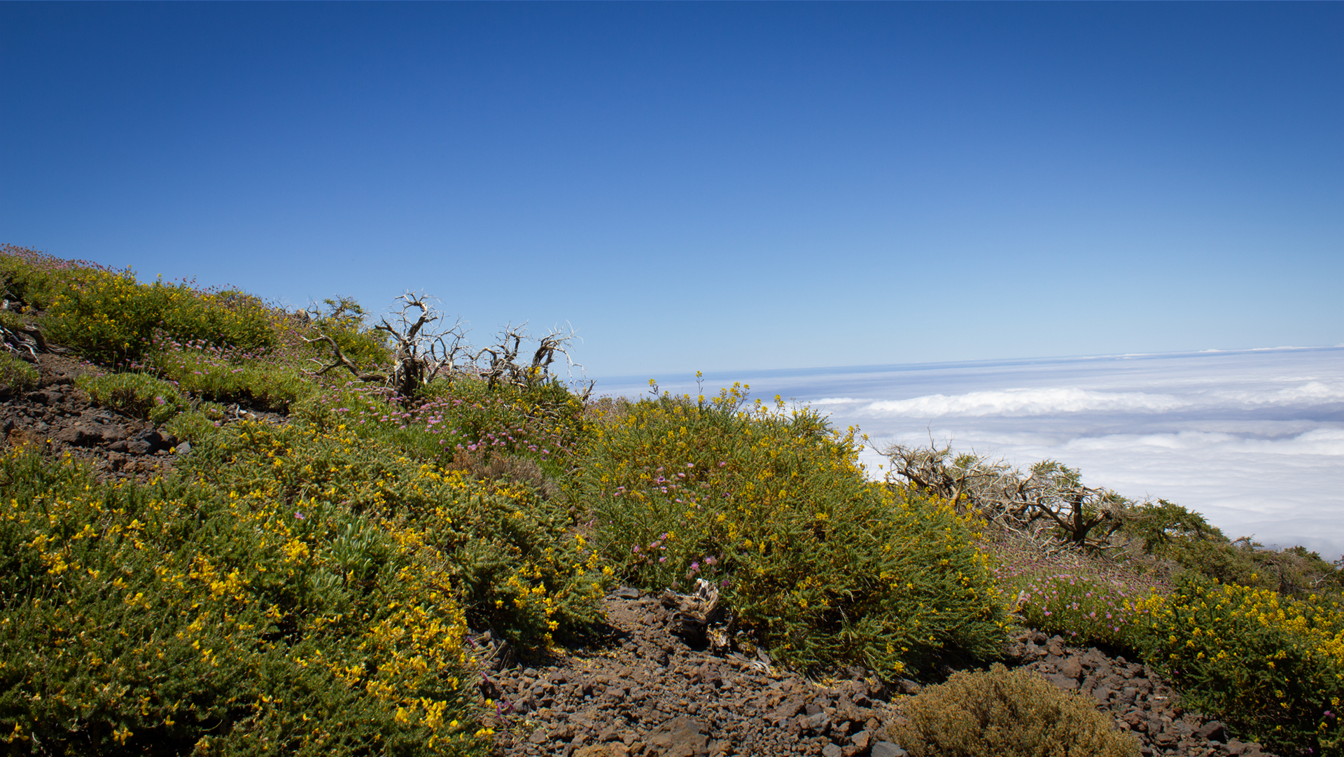
The Pico de la Nieve lies above the typical inversion layer of trade wind clouds. While clouds hang in the north of La Palma, it is often brilliantly clear at 2,232 meters. This is also the reason why the observatory at Roque de los Muchachos — another 200 meters higher — is one of the best stargazing locations in the world.
The LP-4: high-altitude road over the ridge
The LP-4 is the high-altitude road that leads from Santa Cruz de La Palma over the ridge area of the island and runs almost continuously above 2,000 metres. It connects the Mirador de Los Andenes, the Pico de la Nieve junction (km 22) and the car park at Roque de los Muchachos. On the route between Mirador de Los Andenes and Roque de los Muchachos you are above the inversion layer of the trade wind clouds – you often drive out of the fog into the sun.
The LP-4 is well developed and can be accessed with a normal rental car. If you arrive via Los Llanos, drive via the LP-301 tunnel and follow the signs for Roque de los Muchachos.
A special tip for the morning hours: The LP-4 is one of the most spectacular drives in La Palma at sunrise. The first light falls on the chain of peaks from the east, bathing the red pyroclastics in warm light and showing the neighboring islands on the horizon like in a painting. If you start the circular hike early, you will have this atmosphere all to yourself.
Accommodation: El Paso as a hiking base
El Paso is centrally located between the LP-4 (access to the elevated road and the Pico de la Nieve) and the LP-302 (La Cumbrecita). It is the most practical accommodation community for hiking in the Caldera de Taburiente National Park on both routes.
Holiday homes are available in El Paso. Accommodation ranges from simple country houses to modern villas with a view of the volcano. Anyone planning several days in the national park area is well positioned with accommodation in El Paso.
Frequently asked questions
What does 'Erita de los Guanches' mean?
Can the Erita de los Guanches be visited separately?
How far is the car park from the summit?
What is the Tagoror?
How many petroglyphs are there?
This article is based on the on-the-ground knowledge of the Gequo editorial team – publishers of the Reisezeit hiking guides and operators of Sunhikes.com. Last updated: May 2026


