
Barranco de las Angustias: hike to the Cascada de Colores
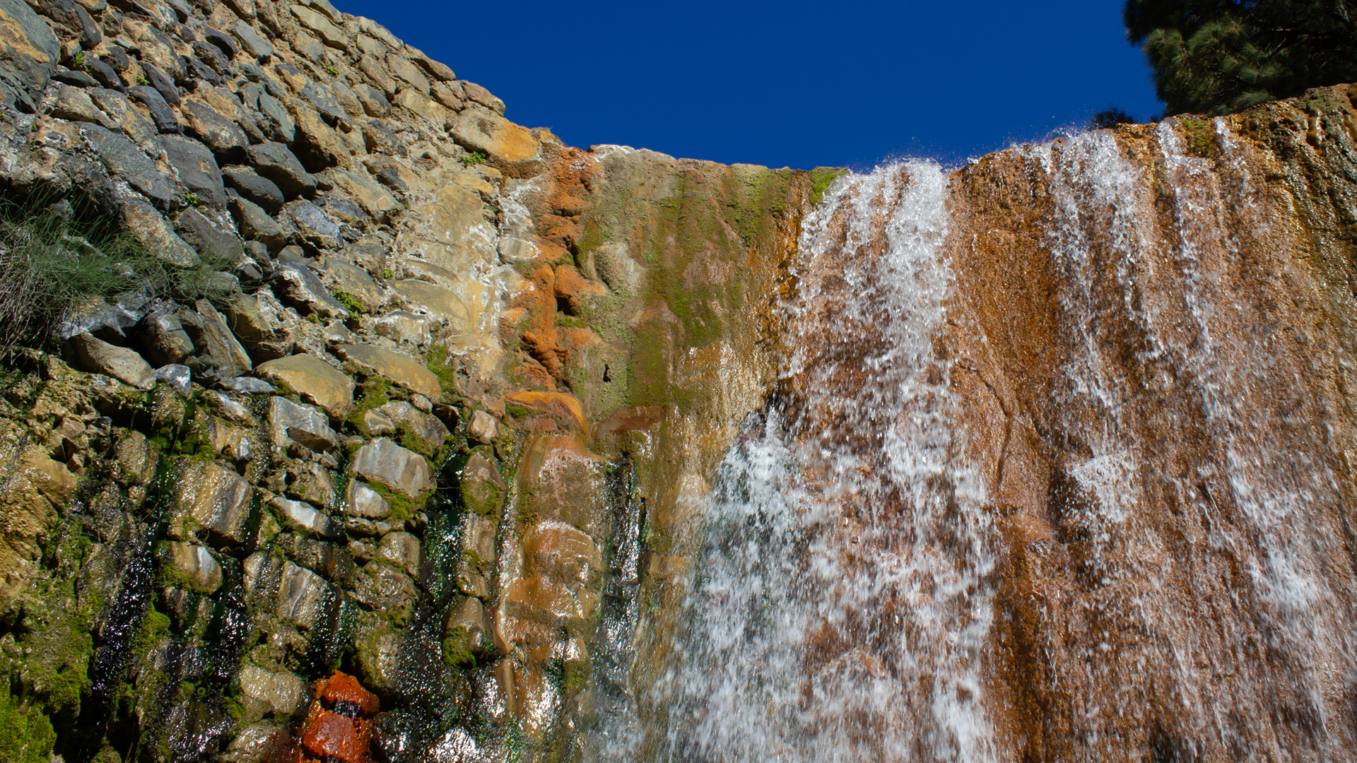
The Cascada de Colores is one of the most famous natural wonders in the Caldera de Taburiente National Park: a small waterfall whose rock face glows in green, yellow, orange and red — created by iron minerals, algae and mosses. The out-and-back walk from the car park in the Barranco de las Angustias is 11.0 km long, 466 m ascent, moderate.
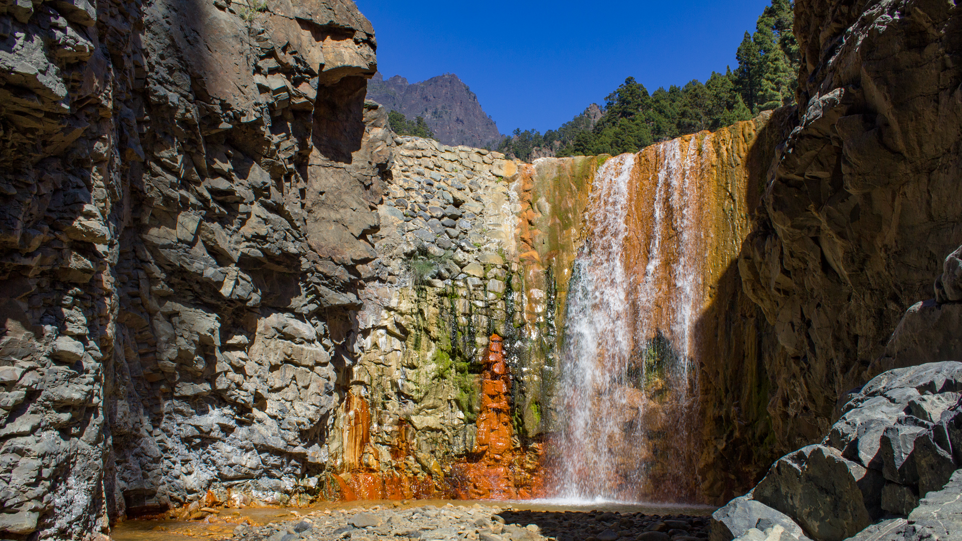
The route follows the PR-LP 13 (yellow-white) through the Barranco de las Angustias (literally ‘Gorge of Anxieties’). You hike in and along the stream bed, pass impressive pillow lava formations, cross stepping stones, see the Roque Idafe above the gorge and finally reach the Cascada de Colores through the colourfully glowing stream bed of the Rio Rivanceras.
Note: When the water level is high, the gorge is not accessible and is closed. Do not go during or after rain — flash flood risk.
Route details at a glance
| Route type | Out and back |
|---|---|
| Distance | 11.0 km |
| Elevation | 466 m ascent / 448 m descent |
| Highest point | 523 m |
| Lowest point | 239 m (car park) |
| Duration | 4:00–5:00 hours |
| Difficulty | Moderate (sure-footedness, stream bed crossings) |
| Starting point | Car park LP-214 in the Barranco de las Angustias (from Los Llanos de Aridane) |
| Trail marking | PR-LP 13 (yellow-white) |
| Protected area | Caldera de Taburiente National Park |
| Equipment | Water, rations, sturdy footwear, sunscreen |
Directions
Car park on the LP-214 road in the Barranco de las Angustias. Drive from Los Llanos de Aridane towards the national park. This car park is also the starting point for the taxi-shuttle to Los Brecitos.
The route in detail
Section 1: Car park to Dos Aguas
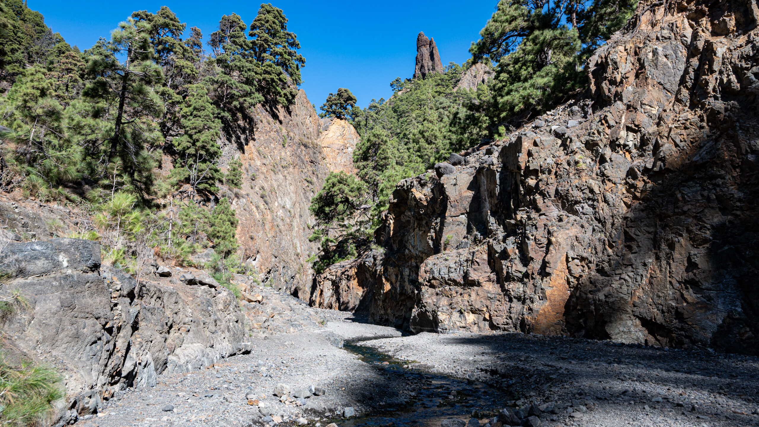
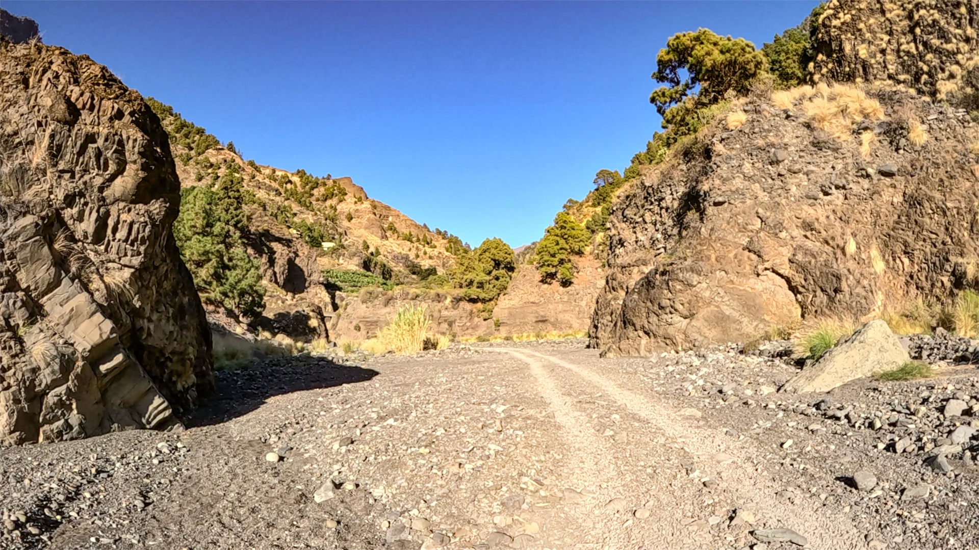
From the car park, follow the road uphill to the PR-LP 13 (yellow-white), which begins on the right just before the stream bed. Shortly afterwards, the trail drops into the riverbed. To the left above: cultivated terraces with avocado and banana trees.
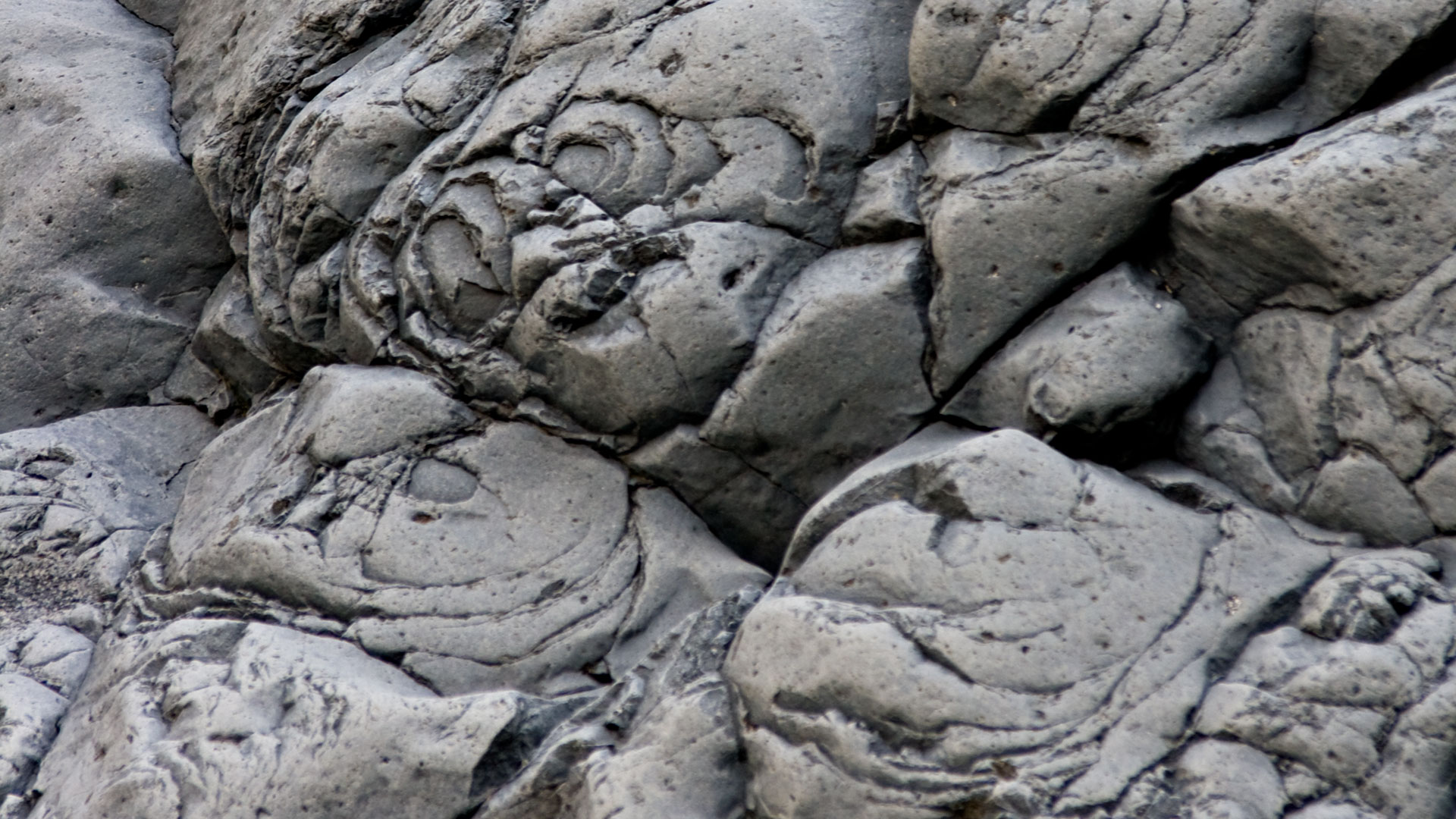
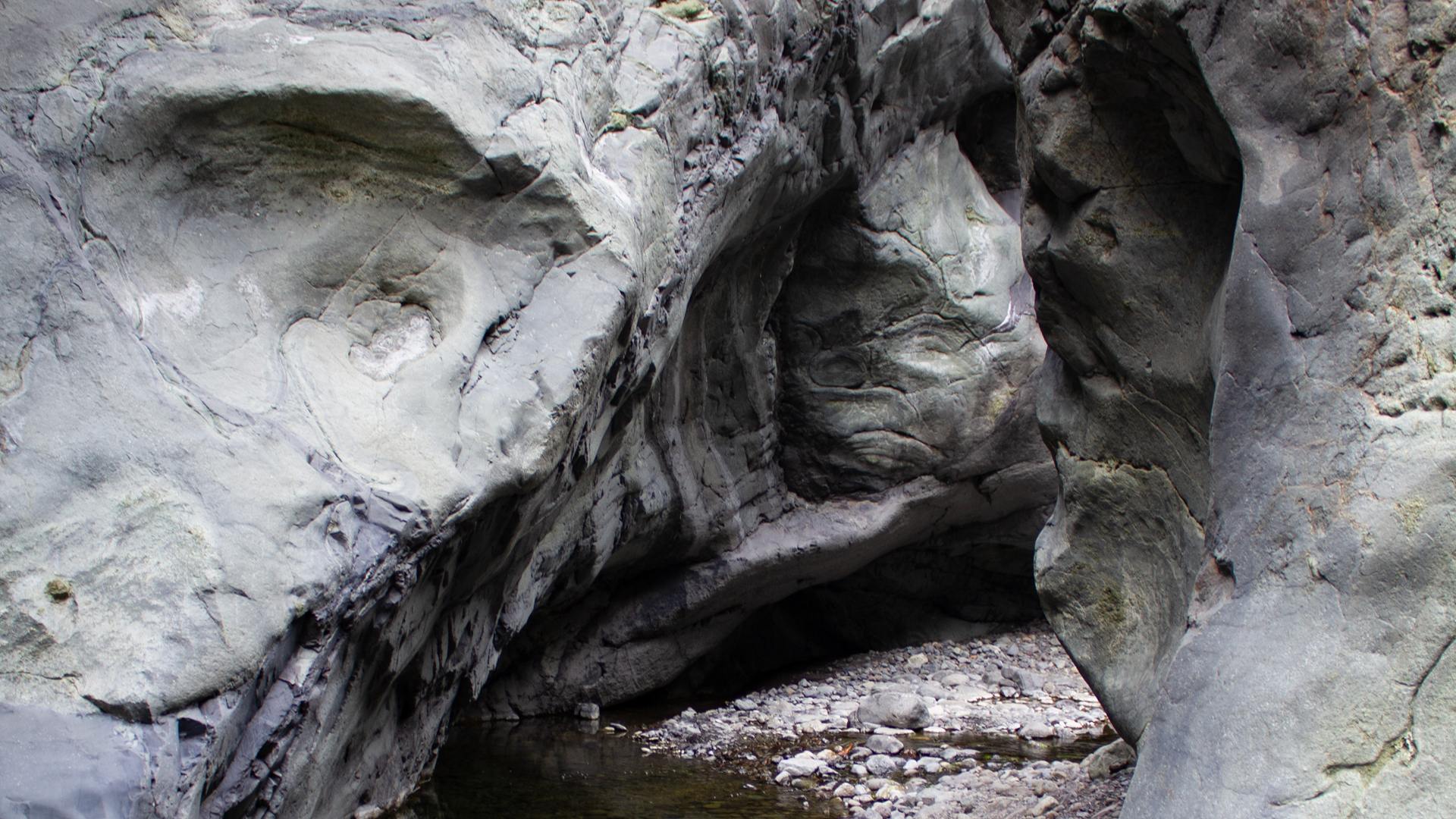
The marked trail follows the stream bed. Depending on water level, you need to find your own way. The path switches sides from time to time. In the lower stretch, impressive pillow lava structures are exposed: rounded, honeycomb-like formations from submarine lava flows that cooled in the water — visible at the surface in the Canaries only here and on Fuerteventura.
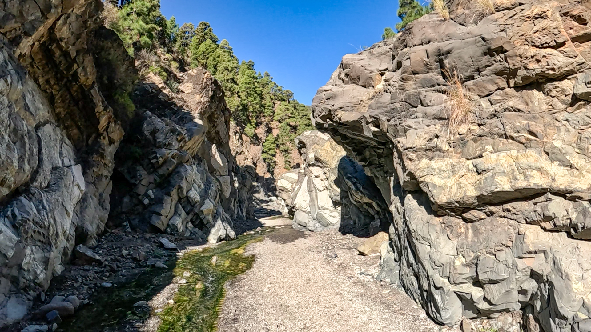
Narrow sections are bypassed with short climbs above the stream bed. Then: Dos Aguas, the confluence of the Río Taburiente and Río Almendro Amargo, where the water is diverted into irrigation channels via a water works.
Section 2: National park boundary to the Cascada de Colores
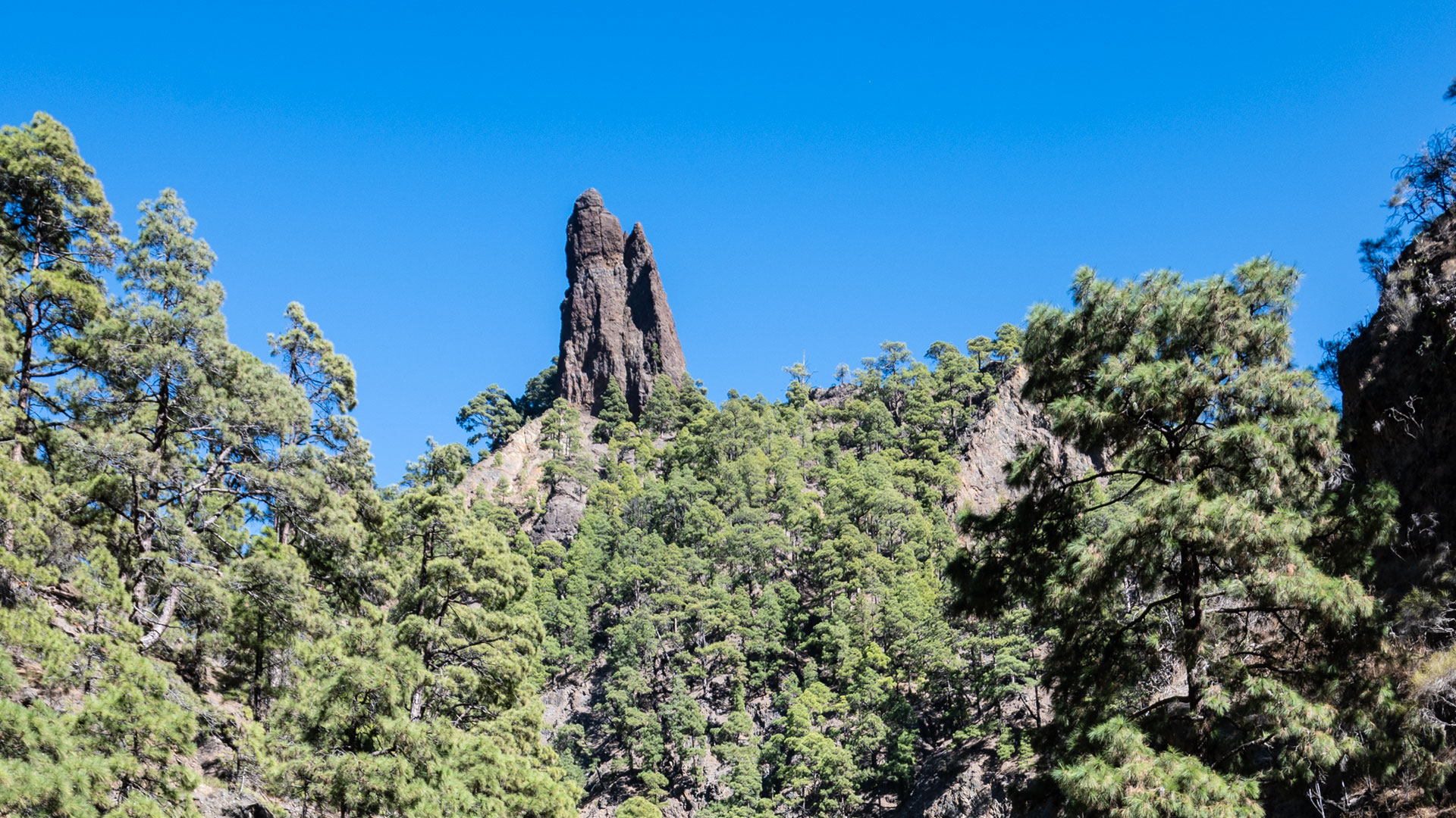
After crossing the stream, you reach the national park boundary. Follow the Río Almendro Amargo on the left above the stream bed, then descend to the confluence of the Río Almendro Amargo and Río Rivanceras. Above the gorge: the Roque Idafe — the sacred monolith of the Benahoritas.
From the confluence, follow the Barranco de Rivanceras (also called Barranco Limonero). The iron-rich stream bed already glows yellow and red. On the final stretch to the Cascada: wet feet are unavoidable. Between steep rock walls on slippery ground to the waterfall, which spills over a stone dam. Green mosses and red-yellow iron deposits: the colour spectacle is most vivid in bright midday light.
Return path
The return folreturn route follows the same path. In low-water conditions, you can walk long stretches directly in the stream bed. Those who want to avoid scrambling sections: take the higher path. Along the stream: frogs, various dragonfly species and the grey wagtail are regular companions.
Geology: Pillow lava and the “Canyon of Fears”
The Barranco de las Angustias is geologically unique in the Canaries. In the lower section, La Palma’s bedrock is exposed: submarine pillow lava, formed during underwater eruptions in the early phase of the island’s formation. The honeycomb structure and greenish colour are unmistakable.
The name Barranco de las Angustias (‘Gorge of Anxieties’) is well earned: during heavy rainfall, water in the narrow gorge can rise dramatically within minutes. The national park authority closes the trail after severe rainfall. Take these closures seriously.
Best time to visit
| Season | Character | Note |
|---|---|---|
| Spring (Mar–May) | Cascada at peak flow | Most intense colours; enough water for the colour spectacle |
| Summer (Jun–Aug) | Little water; stream bed often dry | Cascada more subdued; easier to walk |
| Autumn (Sep–Nov) | Good light for photos | Popular season; start early |
| Winter (Dec–Feb) | High risk of closures after rain | Check weather conditions beforehand |
Connecting routes
| Tour | Data | Character |
|---|---|---|
| Hike Los Brecitos through the Caldera de Taburiente | 13.9 km, strenuous | Major hike from the same car park (by shuttle) |
| Hike from Los Brecitos to Playa de Taburiente | 5.2 km, easy | Shorter option from Los Brecitos |
GPS track and 3D route planner
Route page on Sunhikes: Hike through the Barranco de las Angustias to the Cascada de Colores
Practical tips
Check for closures: Verify current trail status with the national park. During or after rain: do not go. The gorge offers no escape routes in a flash flood. Emergency number: 112.
Note: National Park
Entirely within the Caldera de Taburiente National Park. Closures after rain are imposed by the national park authority and must be strictly observed.
Frequently asked questions
Why does the Cascada de Colores glow in different colours?
What are pillow lava formations?
The Rio Rivanceras — the colourful wonder
The colour spectacle of the Cascada de Colores begins long before the waterfall: the stream bed of the Rio Rivanceras already glows red, yellow and ochre at the confluence with the Río Almendro Amargo. The colours come from iron mineral deposits in the water — dissolved iron salts that oxidise as they settle and stain the rock. The green tones on the waterfall’s rock face come from algae and mosses growing in the permanently damp wall.
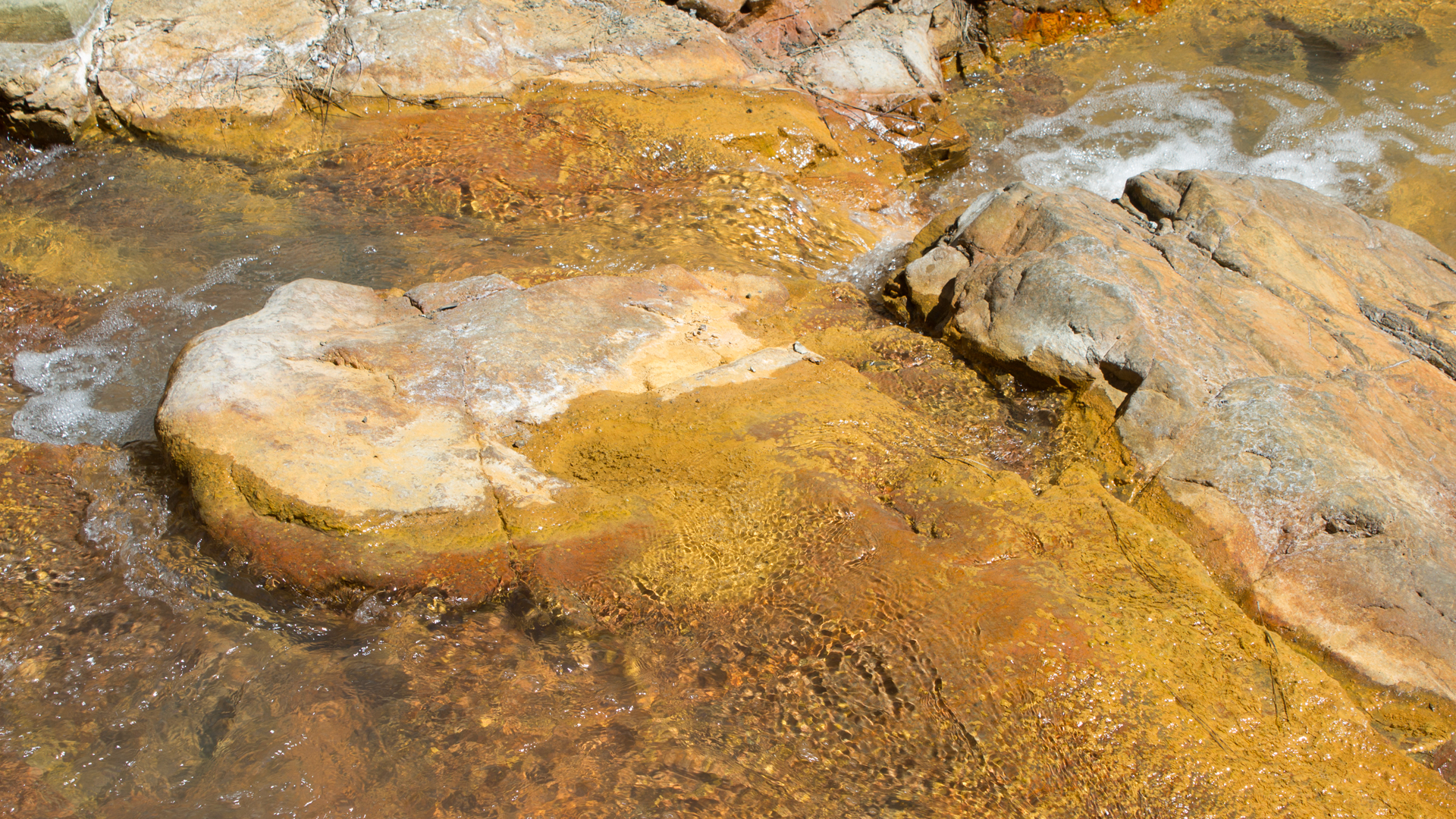
The intensity of the colours varies greatly with the season. In spring, when plenty of water flows, the deposits are freshest and the colours most vivid. In summer, the Rivanceras can run almost dry — then you can see the mineral deposits directly on the exposed rock without water. Both states have their own appeal.
Fauna in the stream bed
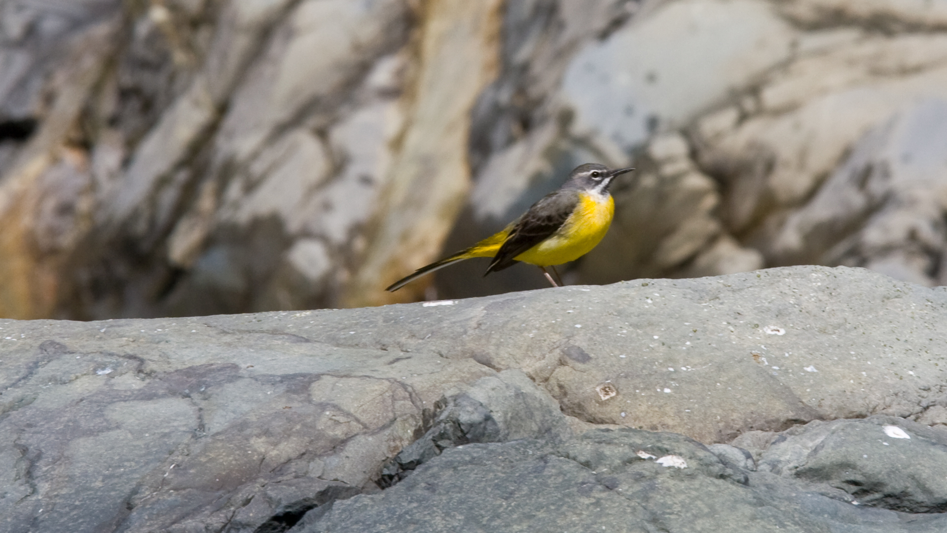
In and along the stream bed of the Barranco de las Angustias and the Rio Rivanceras live species that have adapted to the special environment. Frogs can be heard year-round. Various dragonfly species circle over the calmer pools. The grey wagtail — one of the few water bird species native to La Palma — runs along the rocks directly in the stream bed and darts at insects.
In the upper section, where the barranco widens and the steep walls flatten out, a light riparian gallery woodland of Canarian willows has developed. These trees hang their long branches into the water and are the only sign that the Río Taburiente is one of the few year-round rivers in the Canary Islands.
Pillow lava — a glimpse of the island’s formation
The submarine pillow lava in the lower section of the Barranco de las Angustias is one of the strangest rocks you can see on a hike. Large, rounded honeycombs of dark green basalt — formed when lava emerged from the seabed under water and instantly cooled. Each of these “pillows” is a single lava pulse: rock that transformed from liquid to solid in seconds.
The rock you see here is around 1.5 million years old — from the formation phase of La Palma as an underwater volcano. In the Canary Islands, this bedrock is exposed at the surface only here and on Fuerteventura. It is literally the ground on which La Palma stands.
Flash flood risk: what you need to know
The Barranco de las Angustias is one of the few gorges on La Palma where flash flood danger is real and documented. During heavy rainfall in the Caldera de Taburiente catchment area — which covers around 46 km² — water levels can rise dramatically within minutes. The gorge is narrow, offers almost no escape routes and has vertical walls.
The national park authority closes the trail after heavy rainfall. These closures must be taken absolutely seriously. Anyone who walks a closed trail risks their life. Current status: ask the national park directly or check the signs at the car park. Never follow other walkers blindly if a closure is in place.
More frequently asked questions
How wet will your feet get on the walk to the waterfall?
What is Dos Aguas?
How far is the Cascada de Colores from the car park?
Getting to the Barranco de las Angustias
The car park at the Barranco de las Angustias is on the LP-214, the road leading from Los Llanos de Aridane towards the national park. About 15 minutes by rental car from Los Llanos — a standard hire car is completely fine.
This car park is also the starting point for the taxi-shuttle to Los Brecitos — the trailhead for the great Caldera traverse. If you plan to do the Cascada de Colores one day and the Los Brecitos route the next, you leave from the same car park both times, making logistics effortless.
Los Llanos de Aridane, centrally located on the western side of La Palma, is an excellent base for hikes in the Caldera de Taburiente National Park. Both the Barranco de las Angustias car park and the Cumbrecita (LP-302 via El Paso) are within a short drive.
Accommodation: Los Llanos de Aridane as a base
Los Llanos de Aridane is the largest town on La Palma and the natural starting point for hikes in the Barranco de las Angustias. From the town centre, the car park on the LP-214 is less than 15 minutes away.
Holiday homes in Los Llanos de Aridane on clariso.eu — Holiday Homes on La Palma. The choice in Los Llanos is one of the largest on the island, ranging from town houses to fincas with sea views. The west coast is just a few minutes away.
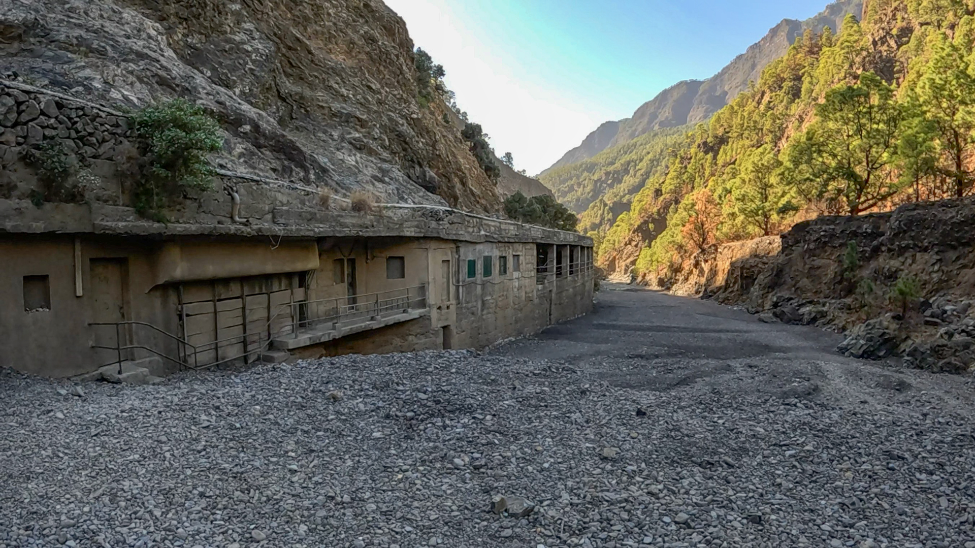
At Dos Aguas — the confluence of the two streams — there is a good rest stop halfway. From here it is around 15–20 minutes’ walk upstream to the Cascada de Colores. At Dos Aguas the character of the hike changes: you enter the national park, the stream bed becomes more colourful, the Roque Idafe appears above the gorge, and the rock walls close in.
The grey wagtail — on La Palma the yellow-bellied grey wagtail (Motacilla cinerea) — is an indicator of water quality in the stream bed. Its presence shows the stream is clean and alive. It runs directly over the wet stones, makes brief stops on protruding rocks and is fast and agile. Those who walk back through the stream bed usually spot it several times.
When planning, the water level of the Rio Rivanceras is an important factor. In spring after the winter rains, the stream is at its fullest and the colours of the Cascada de Colores are most intense. In late summer, the Rio Rivanceras can run almost dry. Both states are worth seeing: once the vivid colour spectacle, once the dry mineral deposits on bare rock.
When the water level is low, you can walk long stretches of the Barranco de las Angustias directly in the stream bed. This is technically more demanding than the path, but rewarding for sure-footed hikers: you can see the pillow lava up close, cross stepping stones, watch the grey wagtail at close range and experience the gorge from a different perspective than on the way there.
This article is based on the on-the-ground knowledge of the Gequo editorial team – publishers of the Reisezeit hiking guides and operators of Sunhikes.com. Last updated: May 2026


