
PR-LP 7: Pico de la Cruz to Los Sauces hiking trail
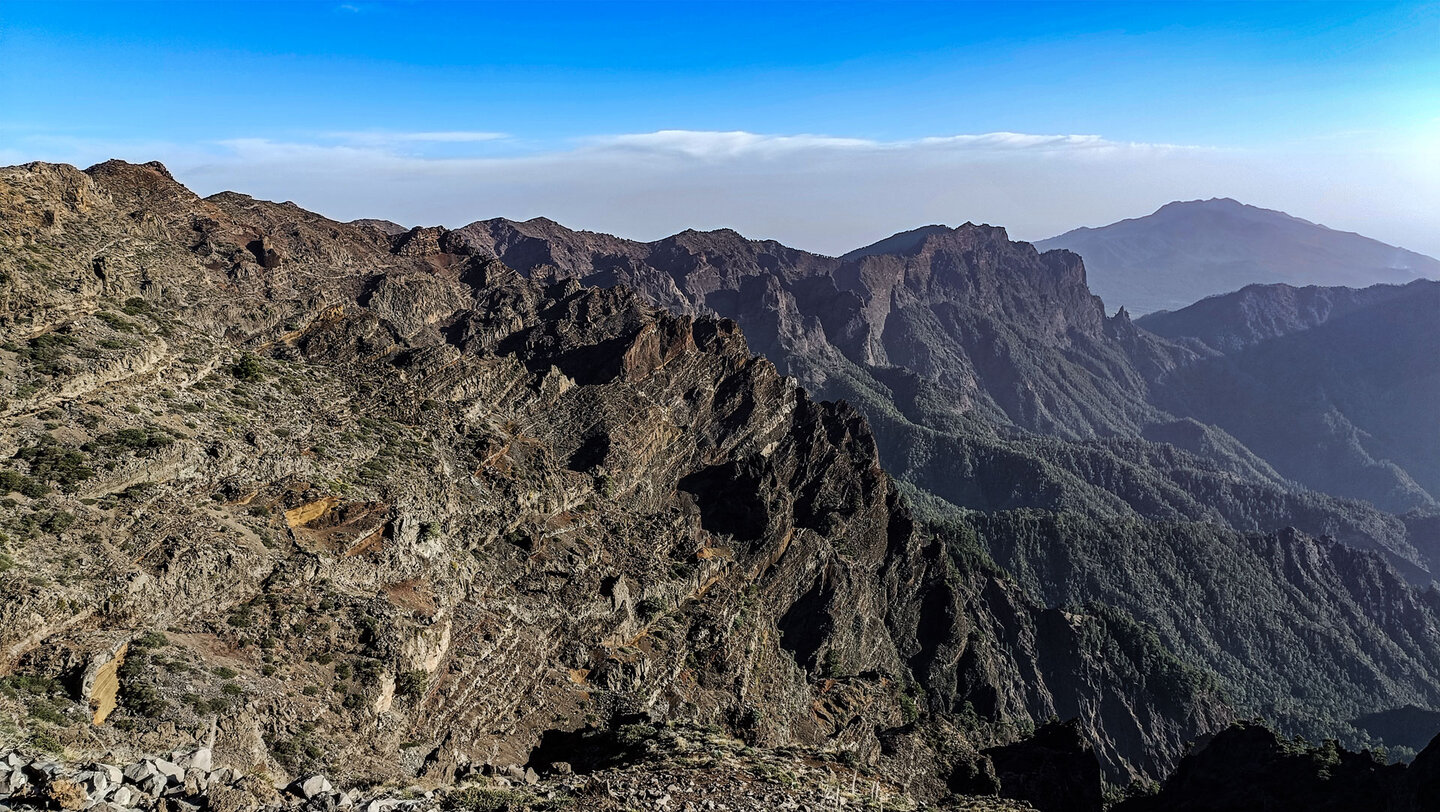
Almost 2,200 meters downhill – the PR-LP 7 from Pico de la Cruz to Los Sauces is one of the major descent routes in La Palma. 14.4 kilometers, 145 m ascent, 2,178 m descent, difficult. The path begins at 2,351 meters on the caldera rim with panoramic views over the Caldera de Taburiente National Park – and ends at 274 meters at Avenida de Los Sauces, where restaurants and cafés await those arriving.
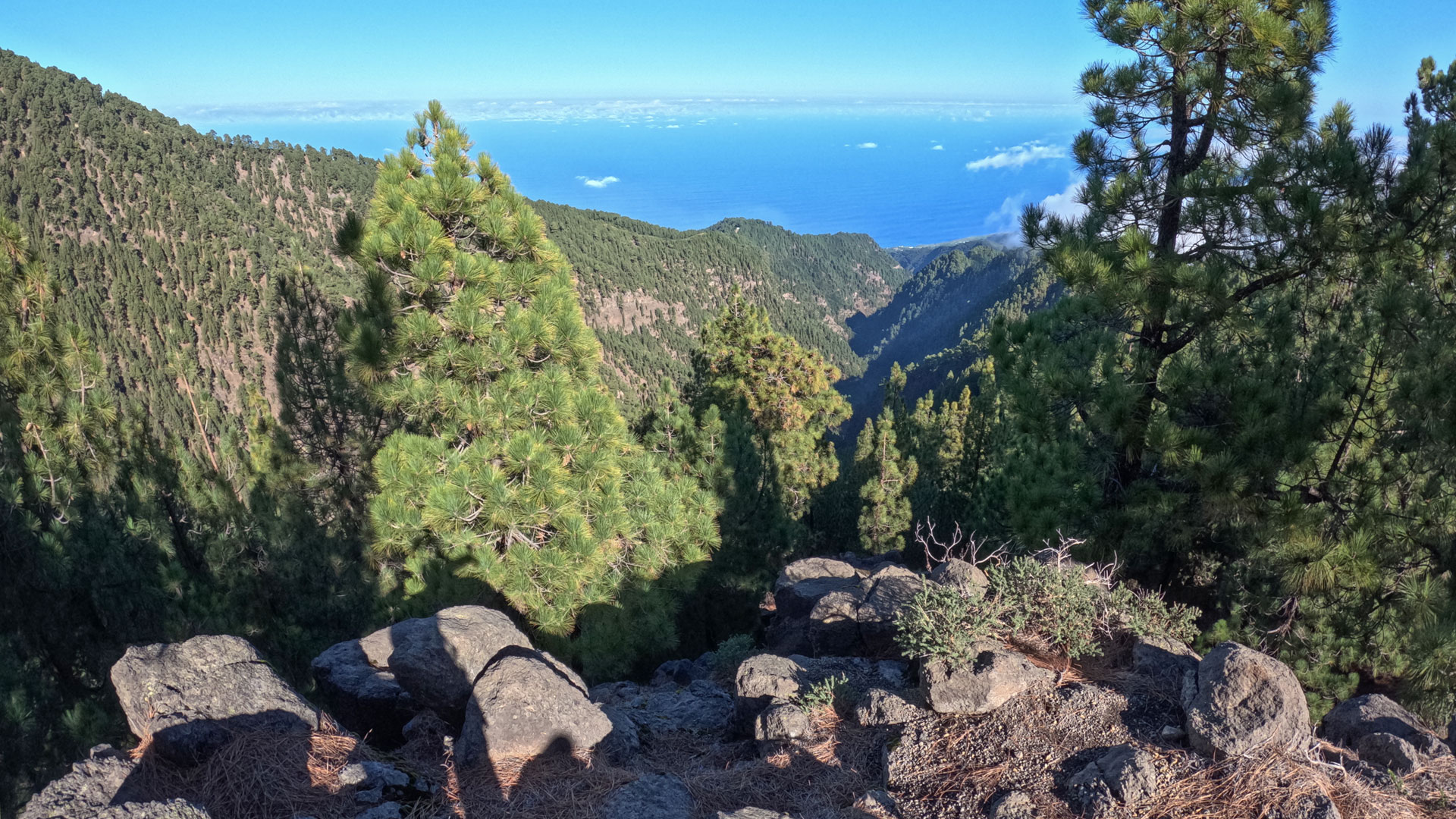
On the first section, the PR-LP 7 shares the route with the PR-LP 8. Both run together through the high mountain landscape characterized by gorse bushes and into the pine forest. After 3.2 kilometers they separate: the PR-LP 7 turns right towards Los Sauces and increasingly delves into the wet forest belt of the Las Nieves Natural Park – pine trees, heather, laurel, mosses, lichens.
The highlight in the lower section: the Mirador de los Barandas with a view of the Barranco del Agua – one of the deepest gorges in La Palma, in which the Bosque de los Tilos lies. Below, 150 meters above the gorge floor, is the Puente de Los Tilos – a 350 meter long concrete arch bridge. At the destination: the historic El Regente water mill with ethnographic museum.
Route facts at a glance
| Route type | Point-to-point (Pico de la Cruz → Los Sauces) |
|---|---|
| Distance | 14.4 km |
| Elevation | 145 m ascent / 2,178 m descent |
| Highest point | 2,333 m |
| Lowest point | 274 m (Avenida de Los Sauces) |
| Duration | 4:45–5:45 hours |
| Difficulty | Hard (2,178 m descent, partly slippery ground) |
| Start | Pico de la Cruz, LP-4, 2,351 m — hiking taxi recommended |
| End | Avenida de Los Sauces (restaurants, cafés) |
| Trail markings | PR-LP 7 (yellow-white) |
| Protected area | Las Nieves Natural Park |
| Equipment | Water, snacks, sturdy footwear, sun protection, rain and wind protection |
Directions and starting point
The starting point is at an altitude of over 2,300 meters on the country road LP-4 at Pico de la Cruz. According to Sunhikes, it is advisable to have a hiking taxi take you to the starting point – otherwise your car would stay in Los Sauces and have to be picked up. Alternatively: park your second car in Los Sauces and take a taxi to the summit.
You should avoid this tour if it is snowing or raining. The starting point is at 2,300 meters – dangerous conditions can exist there even in spring and autumn. Check the weather the evening before.
The route in detail
Section 1: Pico de la Cruz to the PR-LP 7 / PR-LP 8 fork (km 0–3.2)
The route starts with spectacular views over the Caldera de Taburiente National Park at the 2,351 m high Pico de la Cruz. You cross the LP-4 and follow the hiking trail – initially together with the PR-LP 8 – through the high mountain vegetation characterized by gorse bushes. Wonderful panoramic views over the Cumbre de los Andenes and the deep blue Atlantic accompany the descent.
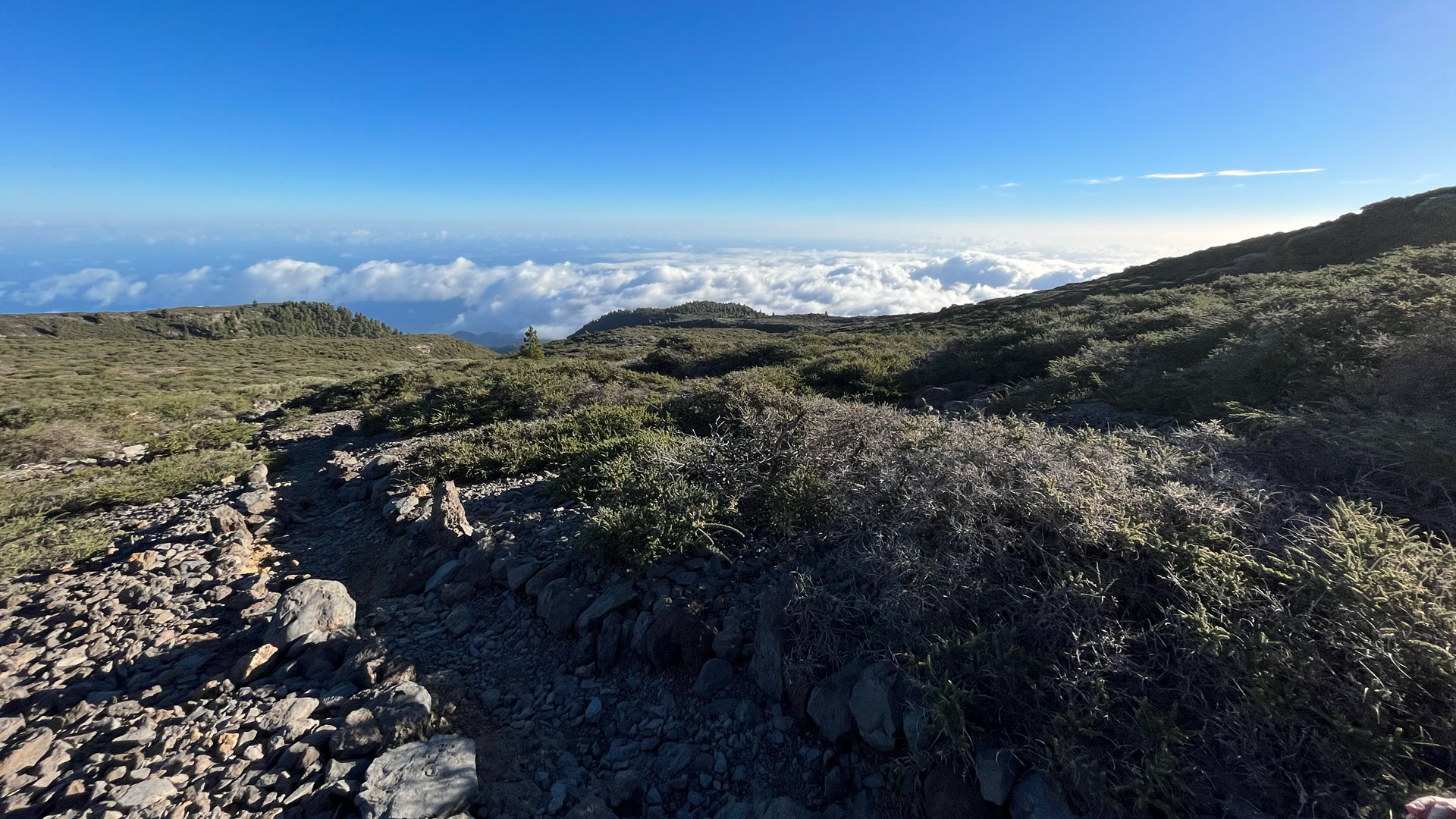
Soon the path leads into the pine forest. Huge Canarian pines line the path, their needles covering the ground in thick layers. Along a mountain ridge between the Barranco del Agua and Barranco de Gallegos gorges there are views all the way to the coast. At a natural viewing point: view over the massive Barranco de Gallegos gorge.
Section 2: Fork in the road to forest road crossings (km 3.2–5.2)
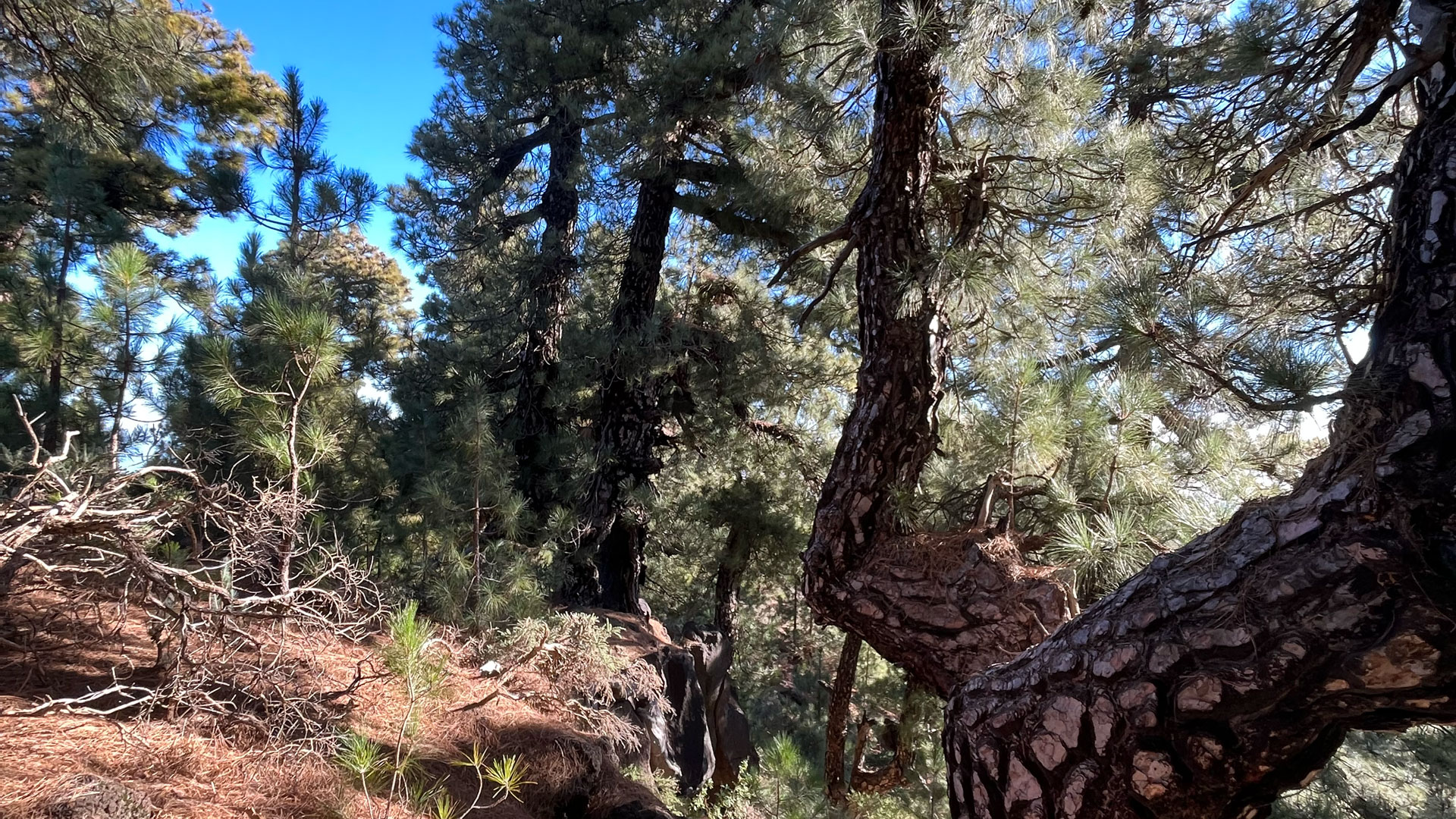
After 3.2 km, PR-LP 7 and PR-LP 8 separate. The PR-LP 7 turns to the right and leads increasingly steeply downhill. The pine forest is gradually crossed by tree heaths and laurel trees. In the wet forest belt of the Las Nieves Natural Park – in the dense areas of the trade wind clouds – tree trunks are covered with lichens and mosses. The path winds through the dense forest, partly on slippery surfaces and over wooden steps. A wide forest path is crossed twice.
Section 3: Forest road section and laurel forest (km 5.2–10.9)
After around 5.2 km, the route follows a forest path to the right, passes through two gorges and then returns as a hiking trail into the wonderful laurel forest. The gorge passages in this section are the most atmospheric on the route: rock faces, mosses, the sound of invisible watercourses.
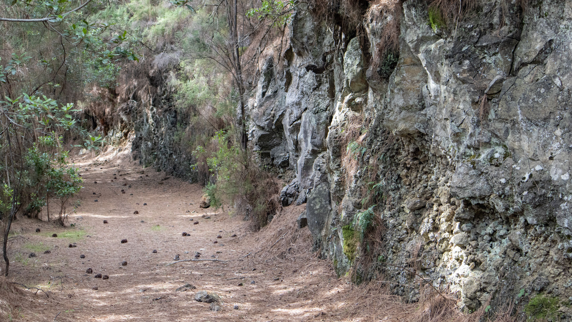
After 7.1 km: a crossroads. Keep half right, turn left 100 meters further. Then the PR-LP 7.1 joins the route from the left. From here both paths run together.
Section 4: Mirador de los Barandas and descent to Los Sauces (km 10.9-14.4)
After 10.9 km: turn off to Mirador de los Barandas (short detour, very worthwhile). The covered pavilion with tables and benches overlooks the deep Barranco del Agua gorge with the Bosque de los Tilos – one of the most important laurel forests in the Canary Islands. Towards the coast: the Puente de Los Tilos, a 350 meter long concrete arch bridge that spans the gorge at a height of 150 meters.
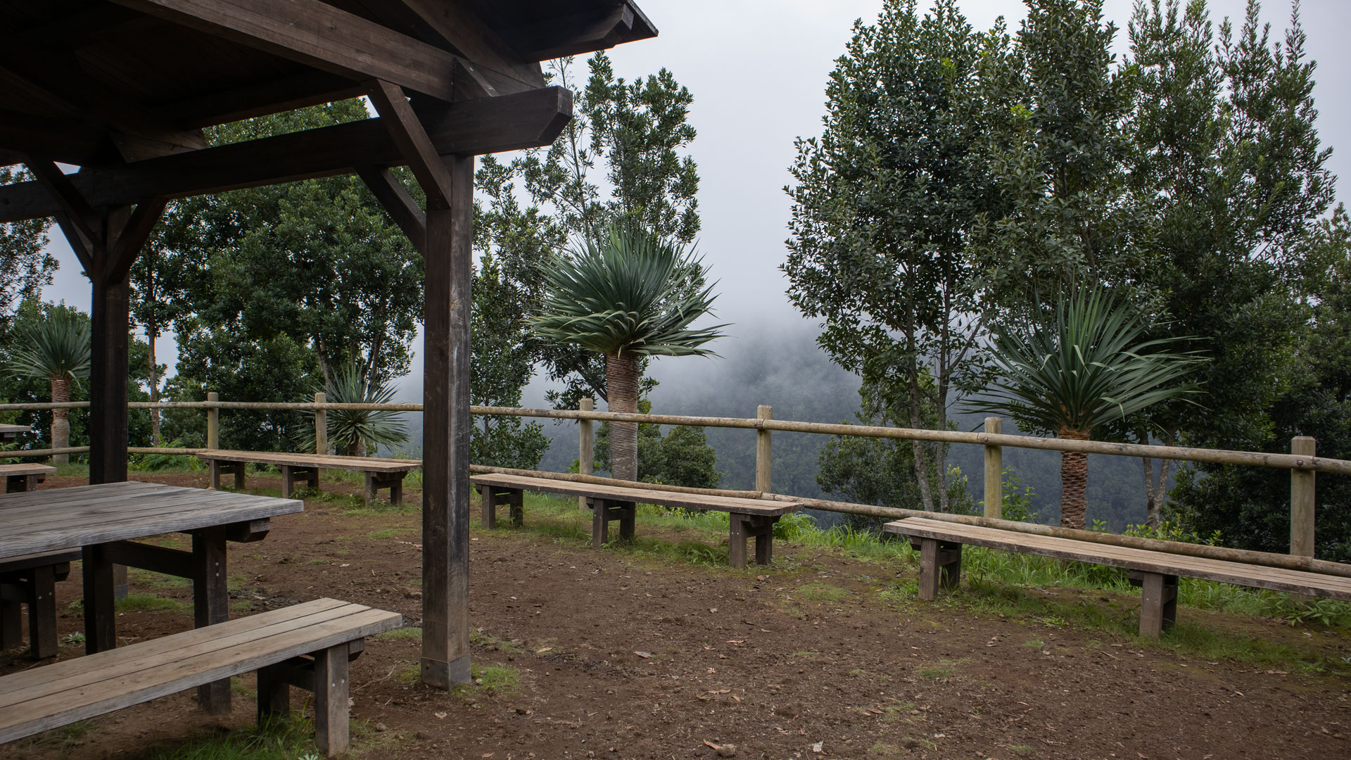
Continue over the Mirador de Llano Clara with a view over the Barranco del Agua. Then downhill in serpentines, asphalted road, past the sports field, through terraced fields to the first houses of Los Sauces. Past the historic El Regente watermill (ethnographic museum). Destination: Avenida de Los Sauces — restaurants and cafes at the end point.
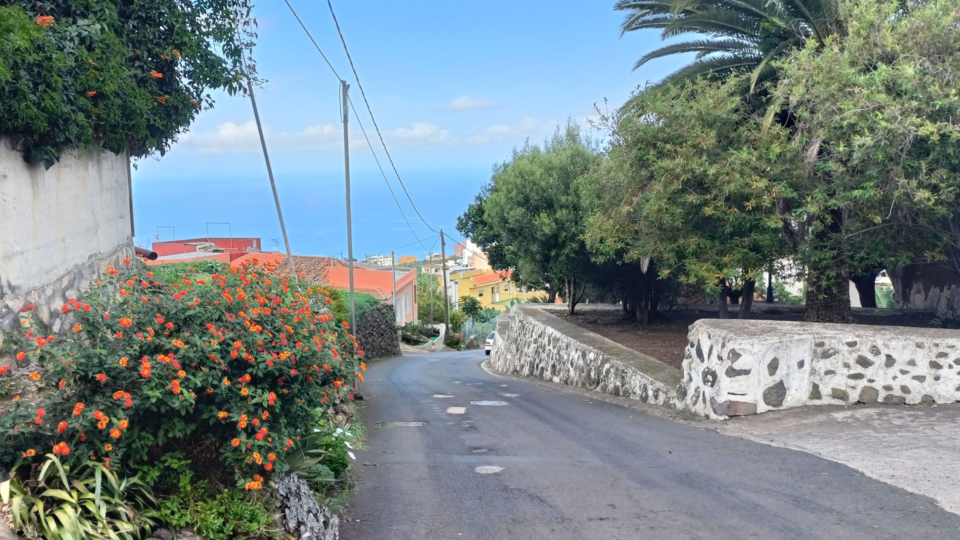
On the long descent you walk through all vegetation zones from the high mountains to the valley: Broom bushes → Canary pine → mixed heather/laurel forest → dense laurel forest → terraced landscape. This completeness of the vegetation sequence in a single day is the botanical unique selling point of this route.
GPS track and 3D route planner
To the route page on Sunhikes: PR-LP 7 Pico de la Cruz – Los Sauces
3D route planner from Sunhikes
Practical Tips
Emergency call 112. No mobile phone network in the Laurel Forest section. Hiking taxi for the journey: local taxi companies know the starting point on the LP-4. End point Los Sauces has a good bus connection (line 120) for the return journey without a second car.
The Mirador de los Barandas is absolutely worth it when the weather is good. Plan the short detour – 10 minutes extra, but one of the most beautiful views of the entire descent.
If you are planning the route as your first big La Palma hike: the 2,178 m descent takes more effort than the 2,178 m ascent. Knee joints and thigh flexors bear the brunt. Hiking poles are not a weakness on this route, but rather equipment.
Note: Las Nieves Natural Park
The route lies entirely in the Parque Natural de Las Nieves. Road restrictions, garbage collection, fire ban. The laurel forest is a sensitive ecosystem – no leaving the marked paths.
Best travel time
| Season | Character | Note |
|---|---|---|
| Spring (March–May) | Lucid laurel forest, good visibility | Starting point often still cool – take layers |
| Summer (June–Aug) | Clouds in the laurel forest, cool | Starting point sunny; Descent into clouds possible |
| Autumn (Sept-Nov) | Best light, clear Atlantic view | Most popular season |
| Winter (Dec-Feb) | Snow/frost possible at 2,300 m | Only in safe conditions start |
Equipment
| Footwear | Sturdy high-top hiking boots with deep tread — wooden steps and the damp laurel forest floor are slippery |
|---|---|
| Water | For 4:45-5:45 h; no source on the route |
| Windbreak | It can be gusty at the starting point at 2,300 m |
| Rain protection | Laurel forest sections moist even without rain |
| Navigation | GPS track recommended – several forest road crossings and forks |
Combinable tours
| Tour | Data | Character |
|---|---|---|
| PR-LP 8: Pico de la Cruz – Barlovento | 11.9 km, 1,799 m / difficult | Alternative from the same starting point Barlovento |
| Tunnel hike Marcos y Cordero | 11.1 km, difficult | Laurel forest region the following day |
| Circular hike Cubo de la Galga | 8.4 km, moderate | Easier Laurel Forest Alternative |
The Las Nieves Natural Park
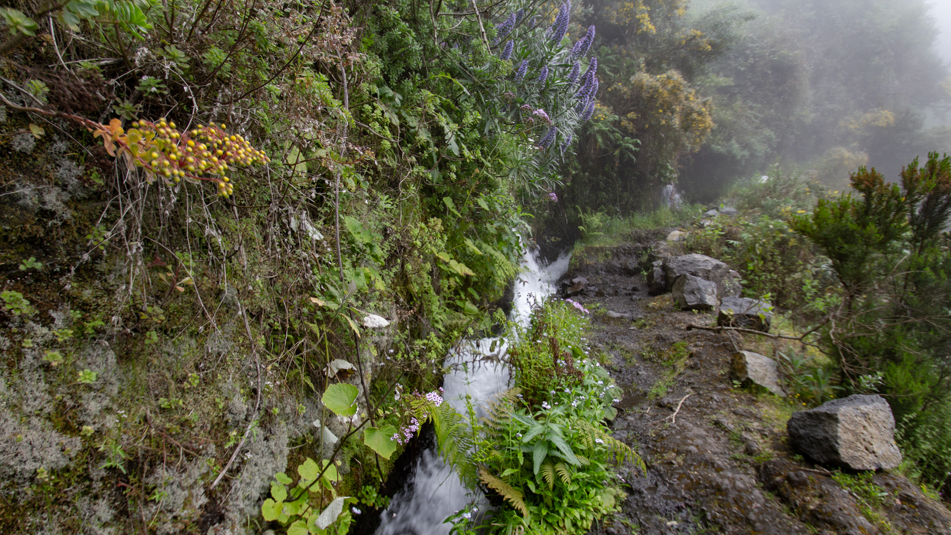
The Parque Natural de Las Nieves covers 5,094 hectares and stretches across Puntallana, San Andrés y Sauces and Santa Cruz de La Palma. It is known for its intact Laurisilva forest – the best preserved laurel forest in the Canary Archipelago. The springs Fuentes Marcos y Cordero – the most productive on the island – originate here.
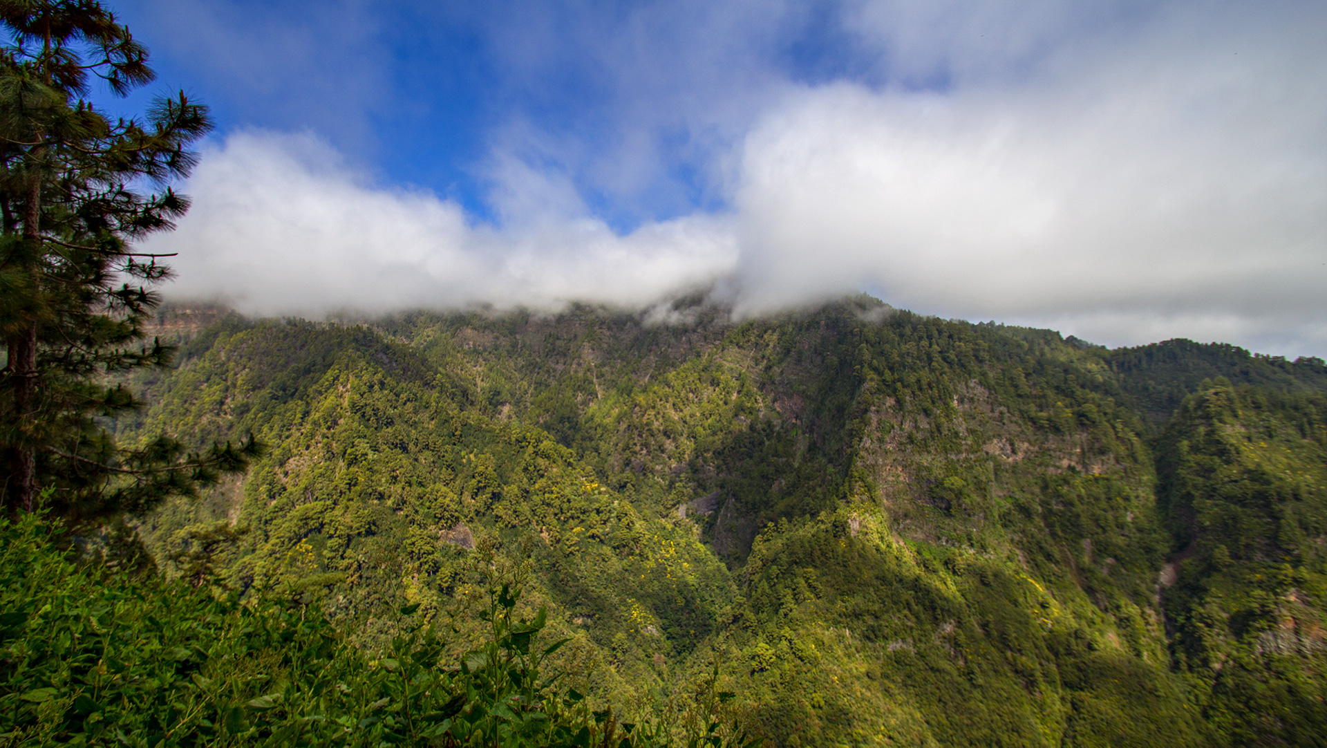
The trade clouds accumulate on the northern slopes of the park and provide the laurel forest with additional moisture as horizontal precipitation. This makes the nature park one of the wettest areas on the island – and explains the lush moss and lichen vegetation that is omnipresent on PR-LP 7. Characteristic: the Barranco del Agua, Barranco de San Juan, Barranco de la Fuente and Barranco de Nogales gorges.
El Regente watermill in Los Sauces
Shortly before the end point you pass the historic El Regente watermill, which today houses an ethnographic museum. It documents the traditional use of water in the north-east of La Palma and is one of the few surviving examples of the old milling culture on the island. If you have time: a short visit is worth it.
Los Sauces itself is a lively country town with real local gastronomic culture. The Avenida de Los Sauces — the end point of the hike — is lined with restaurants and cafés. After almost 2,200 m of descent and 14.4 km, this is a well-deserved stop.
Frequently asked questions
How do I get to the starting point?
Can you reverse the route?
What is the PR-LP 7.1?
Are there any refreshment stops along the route?
What is the Puente de Los Tilos?
This article is based on the on-site knowledge of the Gequo editorial team – publisher of the Reisezeit hiking guides and operator of Sunhikes.com. As of: May 2026


