
PR-LP 8: Hiking trail from Pico de la Cruz to Barlovento
The PR-LP 8 is one of the most impressive descent routes in La Palma: 11.9 km, 26 m ascent, 1,799 m descent, difficult, 4:00–4:45 hours. The path begins at Pico de la Cruz – one of the highest mountains in La Palma on the LP-4 – with a fantastic view of the impressive Caldera de Taburiente National Park, and leads downhill to Barlovento. Shortly before the destination: the Laguna de Barlovento reservoir in an old volcanic crater.
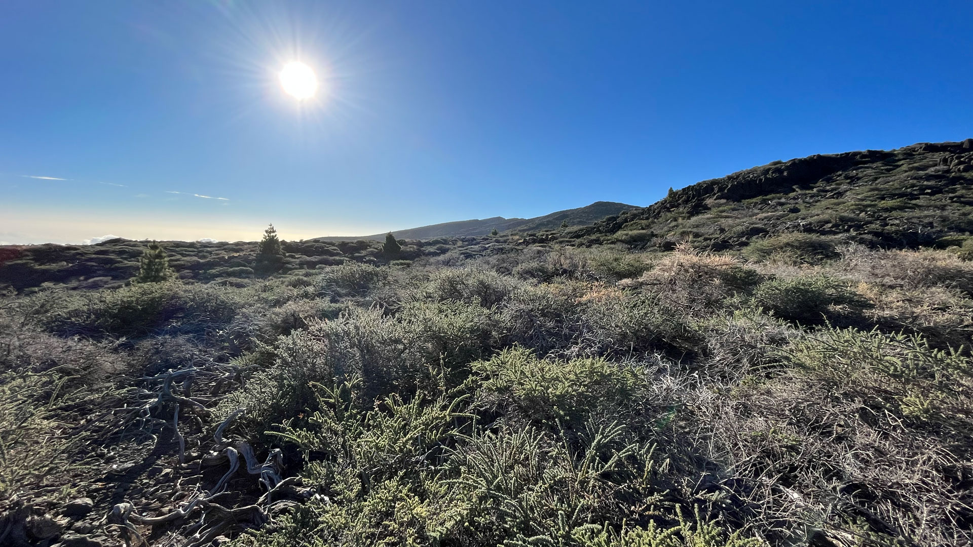
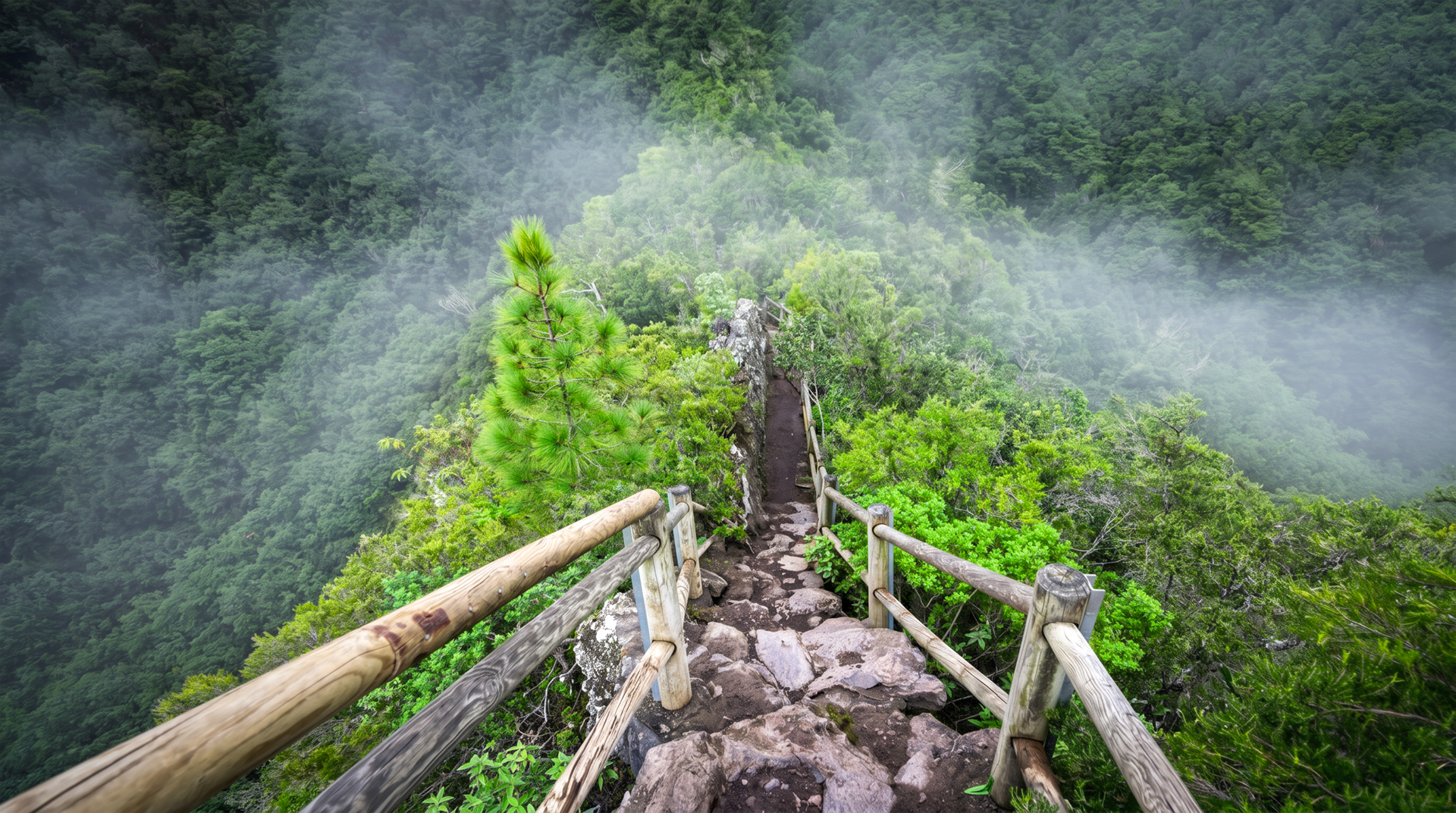
The route shares the first 3.2 kilometers with the PR-LP 7 (to Los Sauces) along the ridge between the Barranco del Agua and Barranco de Gallegos gorges. Then the paths separate: The PR-LP 8 leads through the wet forest area of the Las Nieves Natural Park, between pine trees with heaths and laurel trees – the tree trunks are covered with lichens and mosses.
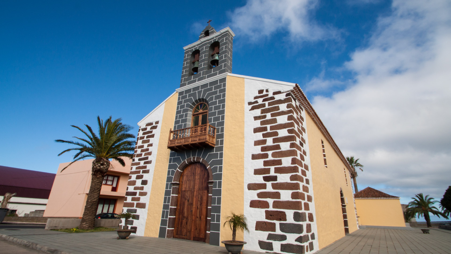
Starting point: Pico de la Cruz, LP-4 (Caldera de Taburiente National Park). End point: Barlovento. Return: Taxi from Barlovento. The hike can also be extended in combination with the PR-LP 20.
Route facts at a glance
| Route type | One-way (Pico de la Cruz → Barlovento) |
|---|---|
| Distance | 11.9 km |
| Altitude | 26 m ascent / 1,799 m descent |
| Highest point | approx. 2,350 m (Pico de la Cruz) |
| Lowest point | approx. 600 m (Barlovento) |
| Duration | 4:00-4:45 hours |
| Difficulty | difficult (1,799 m descent, laurel forest sections) |
| Starting point | Pico de la Cruz, LP-4 Caldera National Park de Taburiente |
| End point | Barlovento |
| Path marker | PR-LP 8 (yellow-white) |
| Protected area | Caldera de Taburiente National Park / Las Nieves Natural Park |
| Equipment | Water, provisions, sturdy shoes, wind protection, rain protection |
Directions
Starting point: Pico de la Cruz, LP-4 — the high-altitude ridge road above the Caldera de Taburiente National Park. Easily accessible from Santa Cruz via LP-1 and LP-4. Return from Barlovento: Taxi. Barlovento is located on the LP-1 north coast.
The route in detail
Pico de la Cruz to dividing point PR-LP 7 (km 0–3.2)
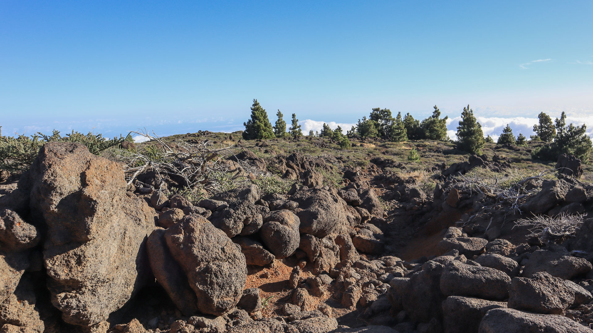
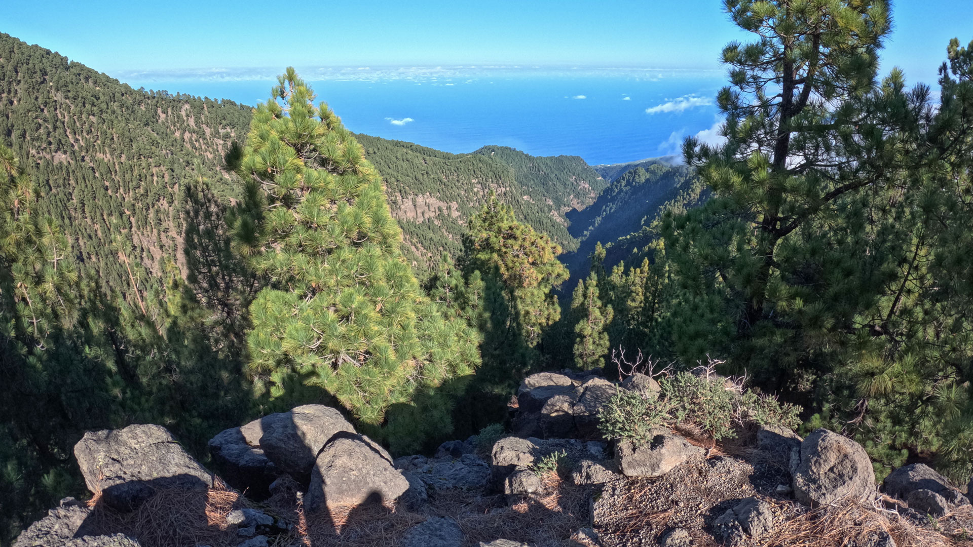
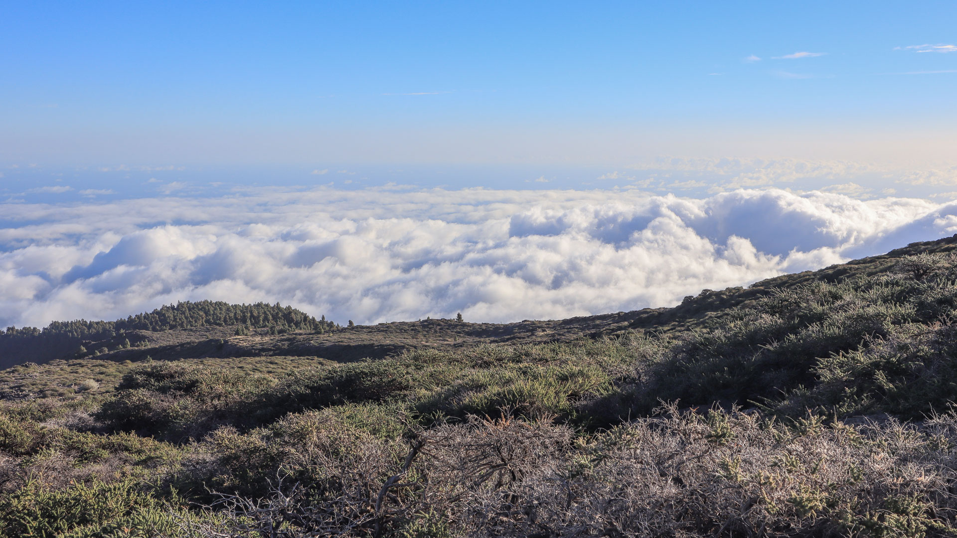
Fantastic views over the Caldera de Taburiente National Park from the start. Follow the PR-LP 8 via the LP-4 through the high mountain landscape characterised by low scrub and high-altitude bushes. Downhill along a ridge between the deep gorges of Barranco del Agua and Barranco de Gallegos. Huge Canary Islands pines with thick layers of needles on the ground. Natural viewpoint on the mountain ridge with a magnificent view over the Barranco de Gallegos gorge and the Atlantic Ocean.
Separation point to wet forest zone (km 3.2–7.1)
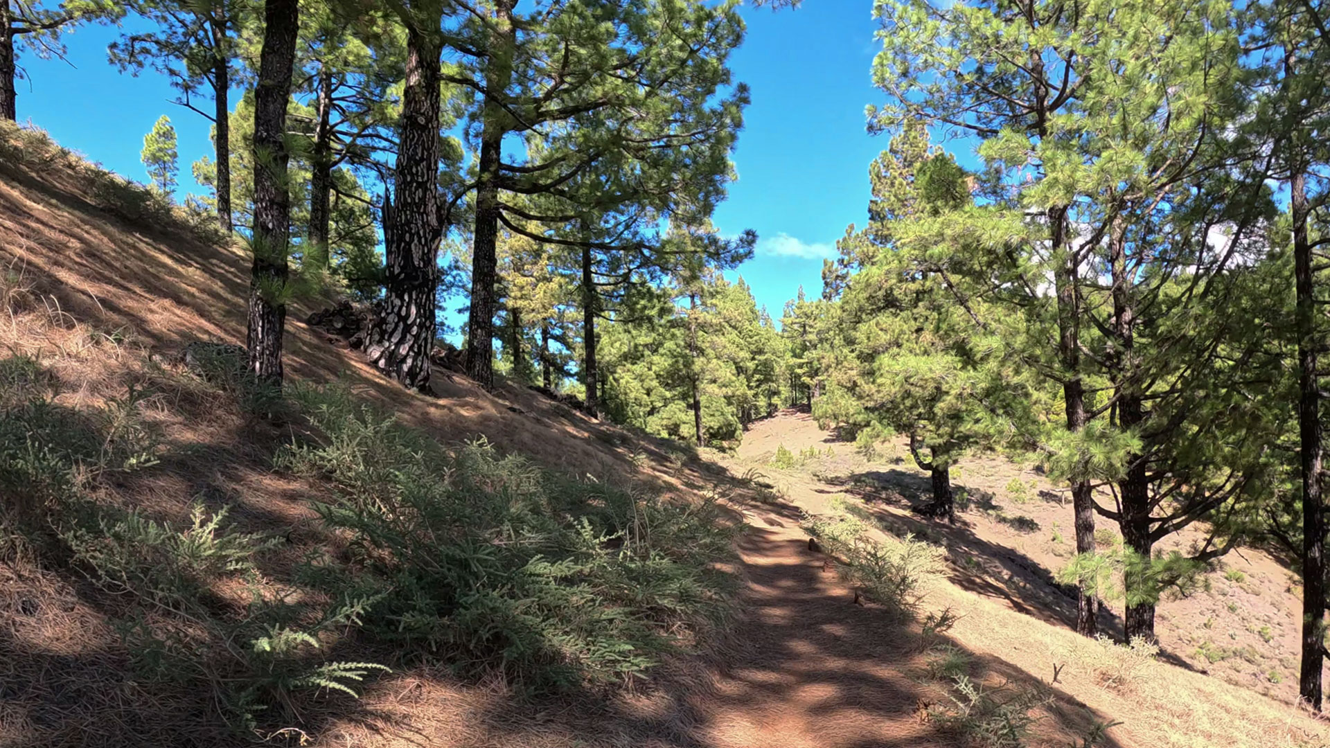
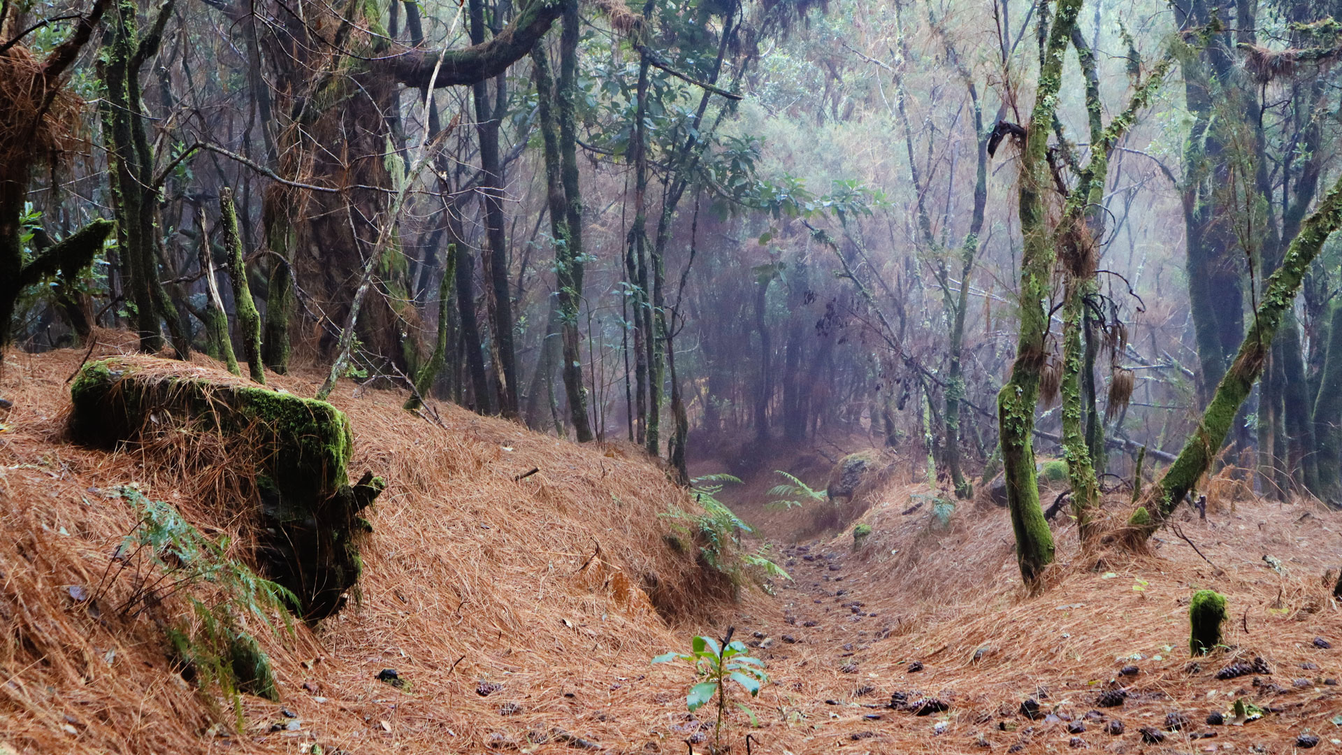
After 3.2 km separation: PR-LP 7 to the right towards Los Sauces, PR-LP 8 straight ahead. Continue along the ridge through pine forest. After around 4.7 km the route crosses a wide forest path. Now in the wet forest area of the Las Nieves Natural Park: heather and laurel trees have settled between the pines. The tree trunks are covered with lichens and mosses – a characteristic cloud forest atmosphere.
Laurel forest, PR-LP 20 and Laguna de Barlovento (km 7.1–11.9)
Trail junction after 7.1 km: half right, then left. Then the PR-LP 20 (Briesta – Barlovento) joins the route from the left. Both hiking trails follow the same route up to the Laguna de Barlovento reservoir. Downhill through a wonderful laurel forest area. Then agricultural land near the Laguna. Wide farm tracks. After 10.3 km asphalted road to Laguna de Barlovento. At the reservoir: campsite, local recreation area with barbecue areas. Short detour to the viewpoint (100 m from the path). Then continue to Barlovento.
The Laguna de Barlovento: reservoir in a volcanic crater
The Laguna de Barlovento is the largest reservoir in La Palma and is located in an old volcanic crater. The water is used for agricultural irrigation on the island. The local recreation area around the lake with campsites and barbecue areas is a popular excursion destination for locals. From the viewing point at the edge of the crater lake: view over the calm water into the surrounding laurel forest belt.
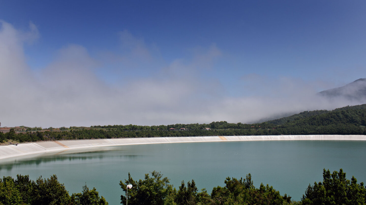
The location of the lake in a volcanic crater makes it one of the most unusual reservoirs in La Palma. The crater terrain has a natural impermeability — a property that engineers took advantage of when planning the reservoir. The result is a reservoir that is also a geological monument.
The wet forest belt of the Las Nieves Natural Park
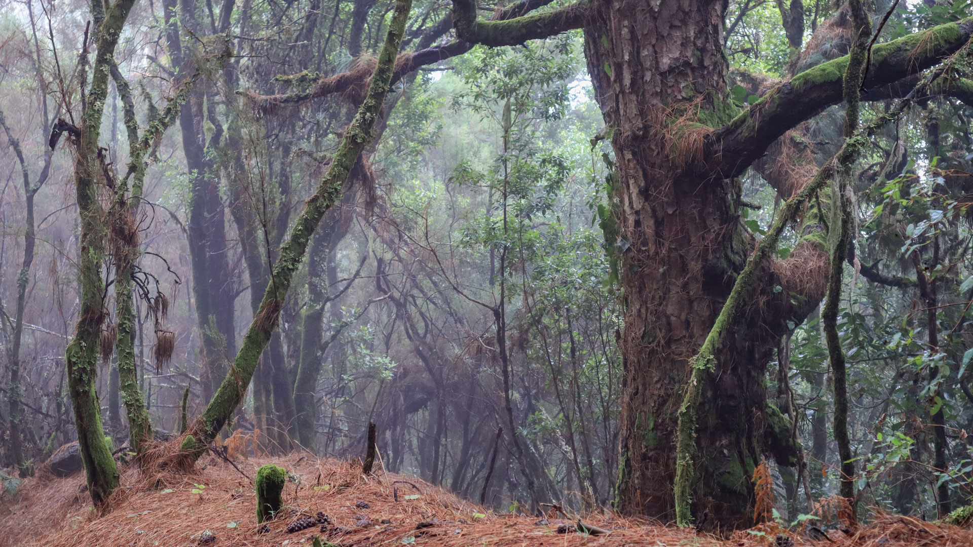
The middle section of the PR-LP 8 leads through the wet forest belt of the Las Nieves Natural Park. Where the trade wind clouds gather between 600 and 1,200 meters altitude, heather and laurel trees have mixed in with the pine trees. The tree trunks are covered with lichens and mosses – a sign of the constantly high humidity. This cloud forest atmosphere is characteristic of the northeast of La Palma and is unique on the island.
Best travel time
| Season | Character | Note |
|---|---|---|
| Spring (March–May) | Laurel forest fresh; clear visibility | Optimal conditions |
| Summer (June–Aug) | High mountains clear; Cool laurel forest | Pleasant tour through vegetation zones |
| Autumn (Sept–Nov) | Best light for laurel forests | Most popular season |
| Winter (Dec–Feb) | Fog often in laurel forest | Atmospheric; Paths wet |
Combinable tours
PR-LP 8 and PR-LP 7 share the beginning. If you want to do both, plan a second day for PR-LP 7 in Los Sauces:
| Tour | Data | Character |
|---|---|---|
| PR-LP 7: Pico de la Cruz → Los Sauces | 14.4 km, difficult | Eastern variant from the same starting point |
| GR-130 stage 3: Barlovento – Santo Domingo | 28.1 km, difficult | Large GR-130 stage from Barlovento |
| Monte El Canal & Los Tilos | 5.1 km, easy | Easy follow-up tour in the laurel forest |
GPS track and 3D route planner
The GPS track shows the dividing point PR-LP 7 / PR-LP 8 after 3.2 km and the junction of PR-LP 20 after 7.1 km. With the free 3D route planner, the descent with the Laguna de Barlovento as the destination can be individually adjusted – directly in the browser, without an app.
To the route page on Sunhikes: PR-LP 8 Pico de la Cruz – Barlovento
3D route planner from Sunhikes – customize and combine routes
Practical Tips
Emergency call 112. Coordinate the return journey from Barlovento in advance. GPS track for separation point and PR-LP-20 junction. Plan a short viewpoint detour at the Laguna de Barlovento reservoir.
Frequently asked questions
Where is the Pico de la Cruz?
What is the Laguna de Barlovento?
The transition from the pine forest to the laurel forest
One of the most rewarding aspects of the PR-LP 8 is the change of vegetation: after the open pine forest of the high altitudes, after about 4.7 km you enter the wet forest area of the Las Nieves Natural Park. Here heather and laurel trees mix among the pines. The tree trunks are covered with lichens and mosses – a sign of the constantly high humidity. This cloud forest atmosphere is characteristic of the northeast of La Palma.
The change is not only visual, but also physically noticeable: the temperature drops, the air becomes more humid, the sounds of the forest become more muffled. You enter another world in a single hike. This sequence of climate zones over a short distance is the hallmark of La Palma’s major descent routes.
Barlovento as a destination: Laguna, lighthouse and refreshment stop
Barlovento is not a major hiking destination, but a worthwhile end point. The Laguna de Barlovento reservoir in a volcanic crater is an unusual final image. The old lighthouse Faro de Barlovento on the outskirts. And: Barlovento has restaurants and bars that are welcome after 4+ hours of descent. The local recreation area at the reservoir with barbecue areas and campsite is also suitable for an evening after the hike.
Pico de la Cruz: starting point with national park panorama
The Pico de la Cruz on the LP-4 is, along with the Roque de los Muchachos, one of the most impressive viewpoints of the Caldera de Taburiente. From here you can see into the national park: the steep walls, the Rio de Taburiente, the chain of peaks. Anyone who walks the PR-LP 8 has this complete panorama at the start – and then 4+ hours to soak in the evolving perspective as you go downhill and the Atlantic gets bigger and bigger.
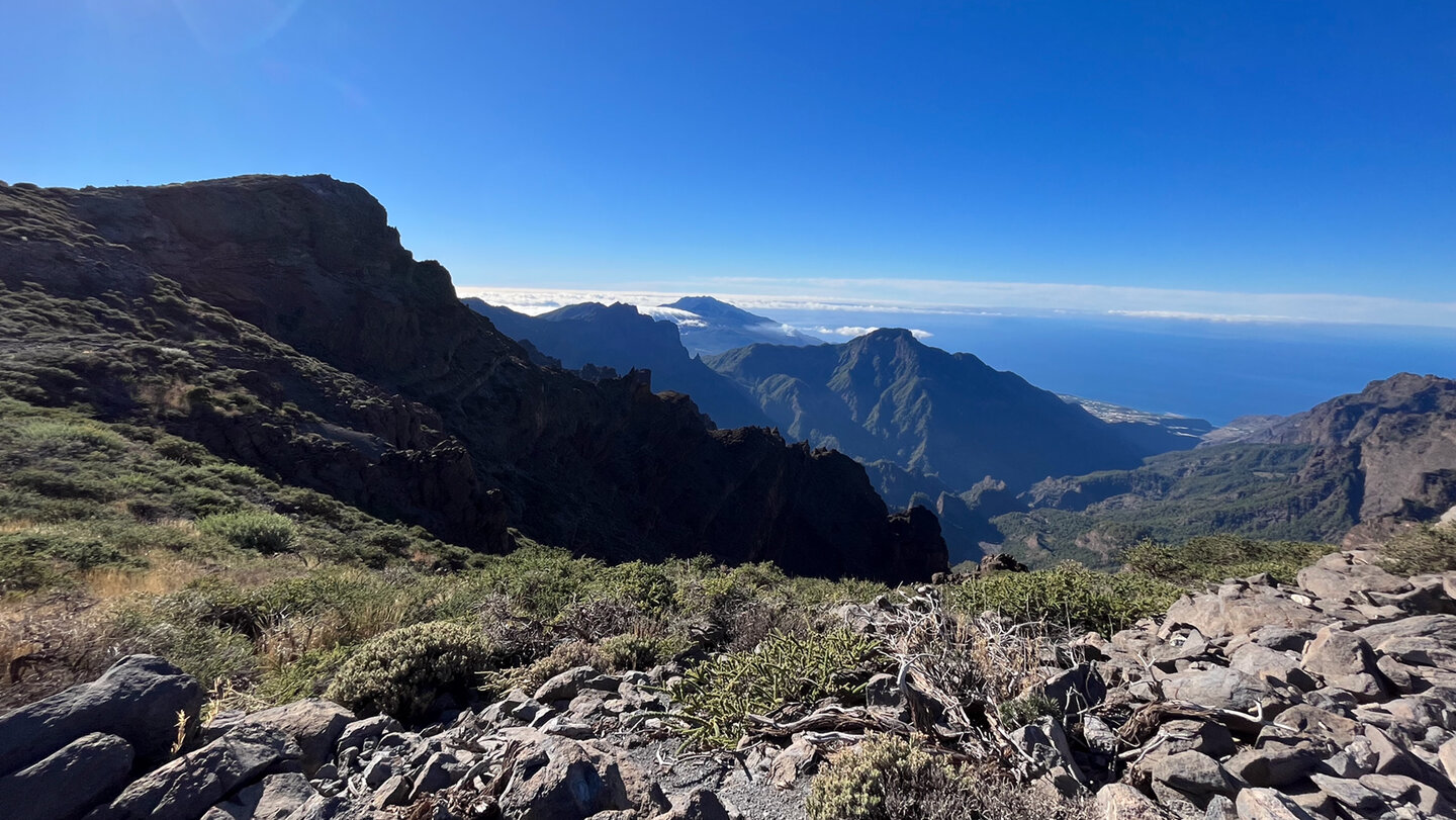
The Pico de la Cruz is the common starting point for the PR-LP 7 (to Los Sauces) and the PR-LP 8 (to Barlovento). Both trails share the first 2 miles and then separate. If you want to experience both trails, do PR-LP 8 one day and PR-LP 7 the next — two different runs from the same elevation to two different northeast coast towns.
The PR-LP 8 is less frequented than the PR-LP 7 to Los Sauces – which makes it one of the quieter descent routes in La Palma. In high season, when PR-LP 7 is more crowded, you can often find solitude on PR-LP 8. Finally, the Laguna de Barlovento is an unusual destination – not a beach, not a village, but a reservoir in a volcanic crater. This is a rarely experienced way to end a hike.
This article is based on the on-site knowledge of the Gequo editorial team – publisher of the Reisezeit hiking guides and operator of Sunhikes.com. As of: May 2026


